
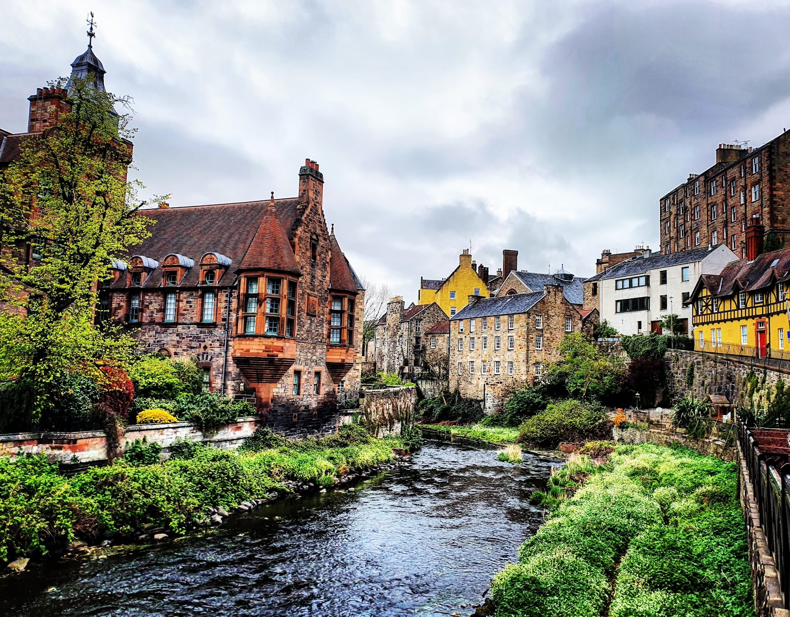
Water of Leith
Edinburgh's river, followed by a 12-mile walkway from Balerno through Colinton, the Dean Village and Stockbridge to the sea at Leith.
Welcome
Edinburgh has a river, and most visitors never find it.
The Water of Leith runs from the Pentland Hills right through the city to the sea, hidden in a green cutting below the streets, and a walkway follows it for thirteen miles from Balerno to the Shore at Leith.
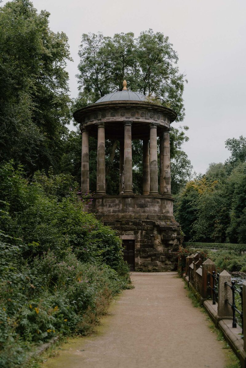
The path starts on an old railway line and drops into the wooded Colinton Dell, then passes Slateford, where the Union Canal crosses overhead on its aqueduct, and runs on by Saughton and Murrayfield to the Modern galleries. From there it enters the loveliest stretch of all: the Dean Village, with its old mills and tenements crowding the water, St Bernard's Well under the trees, Stockbridge and the Botanic Garden, before it reaches the harbour at Leith.
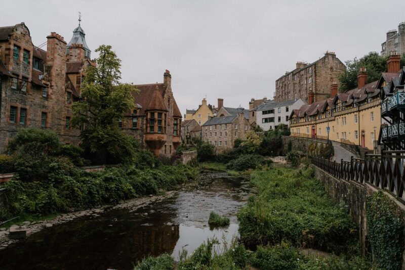
Most of the way is off the road and on the level, and it can be walked a piece at a time from any neighbourhood it passes. The Water of Leith Conservation Trust looks after it, and has a visitor centre at Slateford.
The Daily
Arrives at 5am every day.
A free morning email to see what’s on this week, catch up on what’s happening in Scotland and find somewhere new to go.
The walk
The walkway starts at Balerno and follows an old railway line to Colinton, then runs beside the river through the Colinton Dell, past Slateford and the Union Canal aqueduct, Saughton, Murrayfield, the Modern galleries and the Dean Village, through Stockbridge and past the Botanic Garden to the Shore at Leith.
Most of it is off the road, and it can be walked in sections from any of the neighbourhoods it passes.
- Distance
- 12 miles, 19 km, end to end.
- Start
- Balerno, or anywhere along the way.
- Finish
- The Shore, Leith.
- Ground
- Mostly surfaced paths beside the river; about half a mile on roads.
Before you go
The walkway is open at all times.
The Water of Leith Conservation Trust's visitor centre is at Slateford, and the Trust publishes a map of the whole route.
- Visitor centre
- The Water of Leith Visitor Centre, Slateford.
Been here? Tell others what you know, and the best go on this page with your name.
Add your reviewWhere it is
Across the city from Balerno in the south-west to Leith in the north.
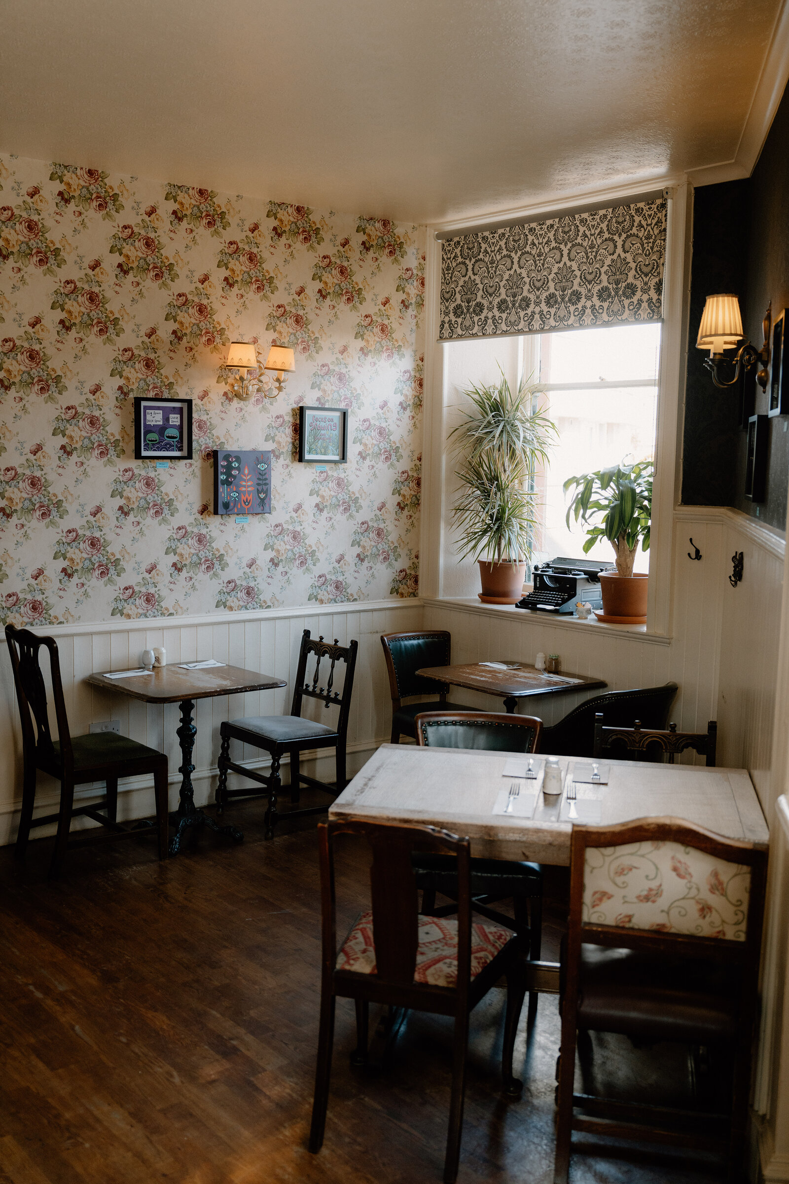
 Kafeneion to StekiA Cretan taverna on Coburg Street in Leith, by the Water of Leith, with meze to share, octopus from the grill and a list of Greek wines.Under a mile as the crow flies
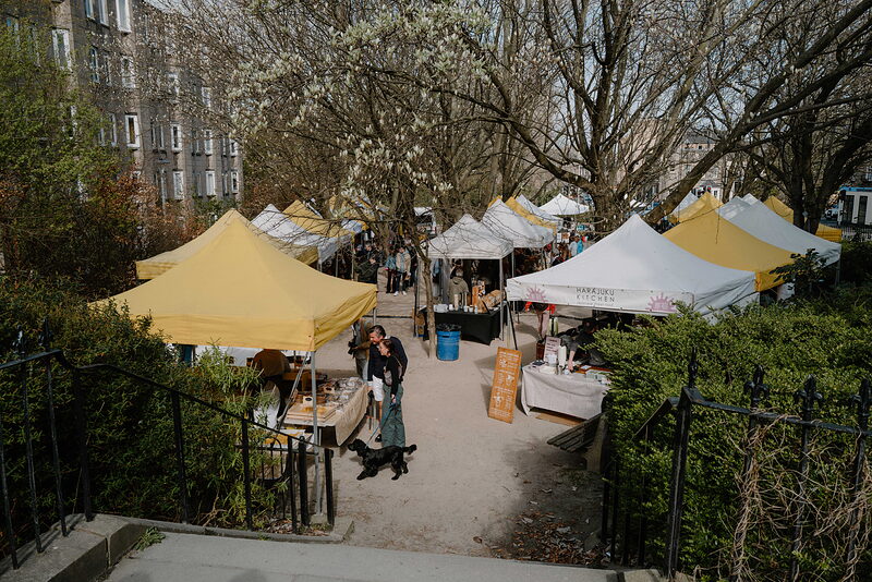 Stockbridge MarketThe Sunday market in Saunders Street, since 2011.2 miles 8 min by road
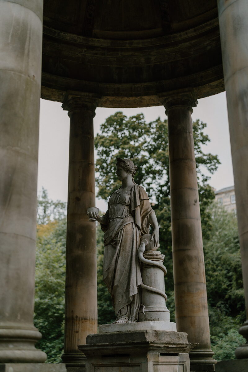 St Bernard's WellA little Greek temple of 1789 over a spring on the Water of Leith.2 miles 9 min by road
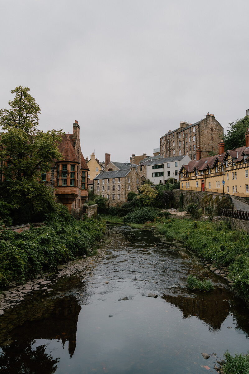 Dean VillageA milling village of the 1100s on the Water of Leith.4 miles 12 min by road
 Scottish National Gallery of Modern ArtTwo galleries and two sculpture parks above the river.4 miles 14 min by road
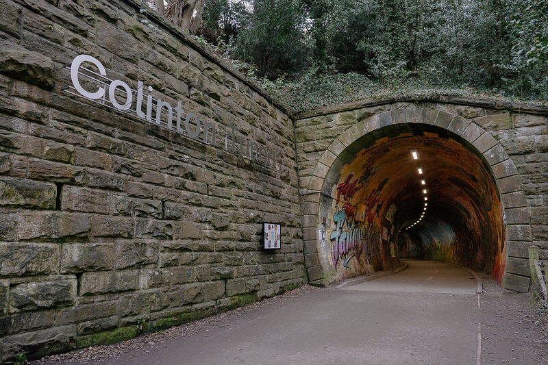 Colinton TunnelA Victorian railway tunnel on the walkway, painted end to end.7 miles 24 min by road









Stay nearby
Places to stay near the river, and when each is next free.
 Old Town Chambers
- To stay
- In Edinburgh
- 2 miles from the Water of Leith
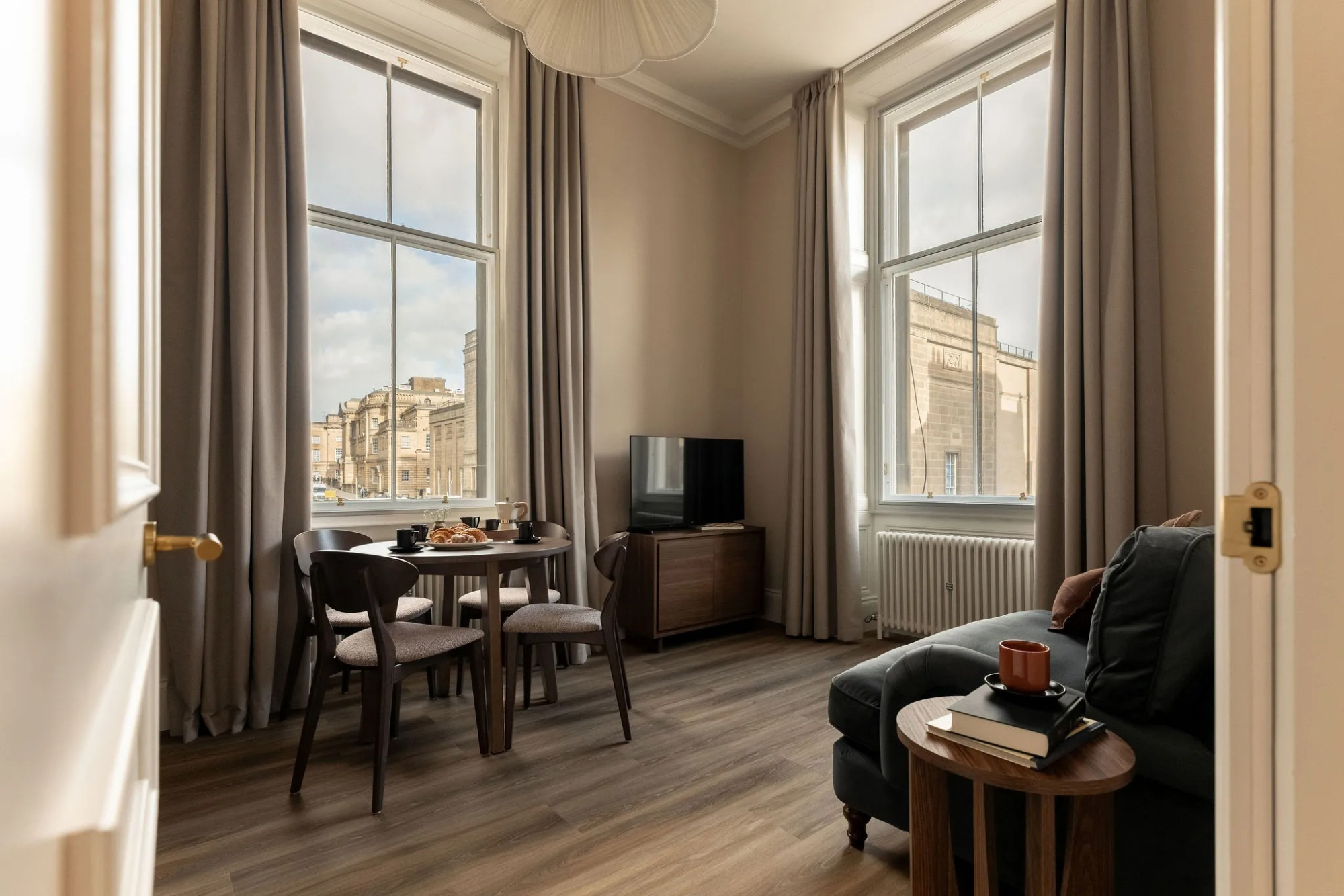 Moment George IV Bridge
- Sleeps 2
- In Edinburgh
- 2 miles from the Water of Leith
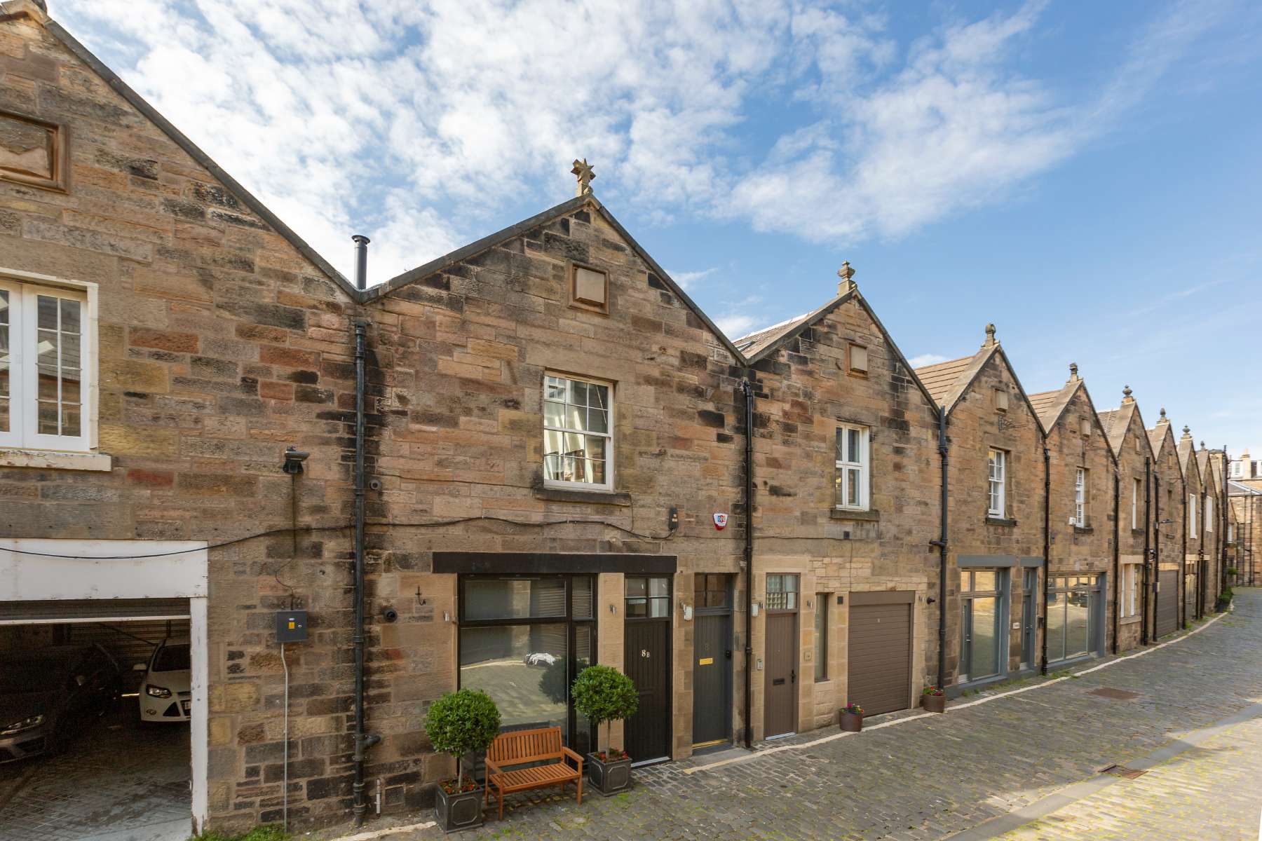 West End Muse
- Sleeps 4
- In Edinburgh
- 2 miles from the Water of Leith
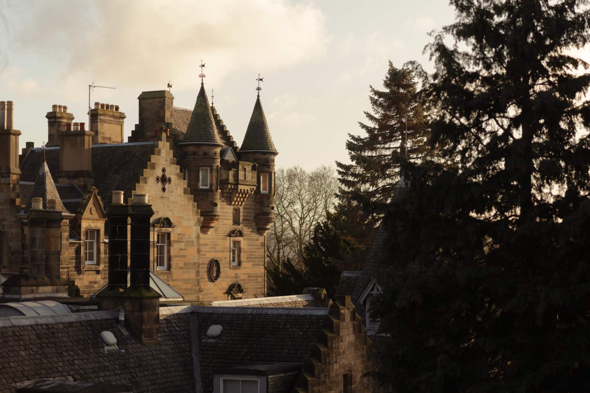 The Scott Hotel
- A hotel
- In Edinburgh
- 3 miles from the Water of Leith
Scotland, in print.
We want to show you the best that Scotland has to offer. The makers and the creatives, the enduring experiences, the evocative tales, the concealed corners. The roads less travelled that take you to places that matter. The adventures that gather you up and sweep you away. The blend of the wild and the artistic that makes Scotland what it is. We’d love for you to join us.
Read on
What we have written about it, the collections it is in and more in Edinburgh.



Find out more
For further reading, before you go. The details on this page were checked on .