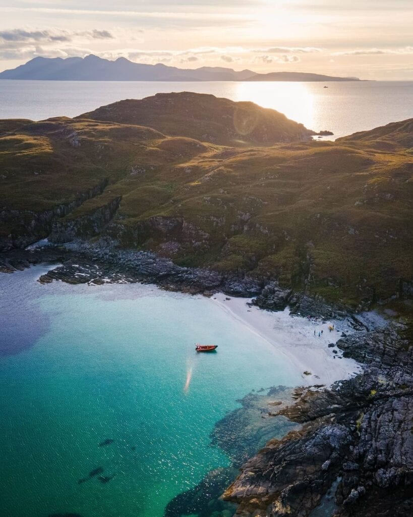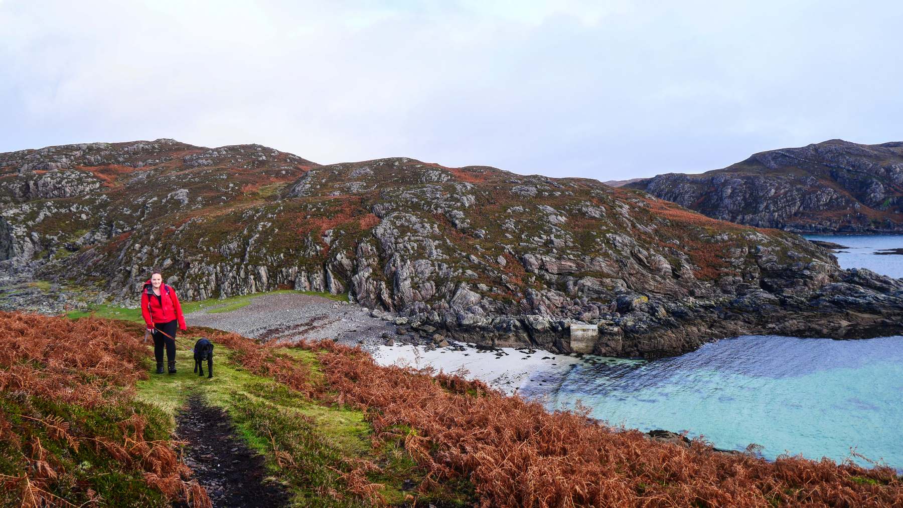
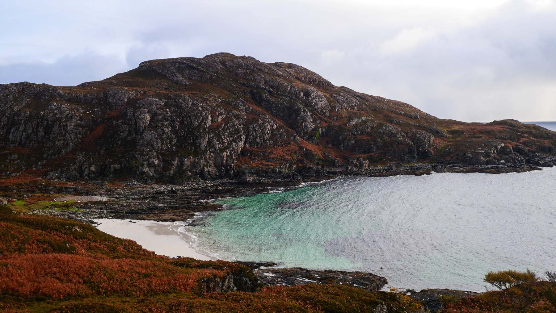
Two walkers on the path above Camas Daraich, the bay and its white sand below them.
Isle of Skye

Point of Sleat Walk

About two and a half miles each way from the road end at Aird of Sleat to the southernmost point of Skye, with a white sand bay 150 metres off the path.

Welcome

Eight and a half kilometres there and back from the road end at Aird of Sleat, three to four hours, and 400 metres of climb spread through the rise and fall rather than gathered into one hill.

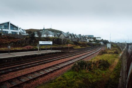
A rough private track does most of the work. It climbs steeply once, and that is the moment to turn round: the ground falls away over the crofting township and across the Sound of Sleat to Knoydart and Mallaig.

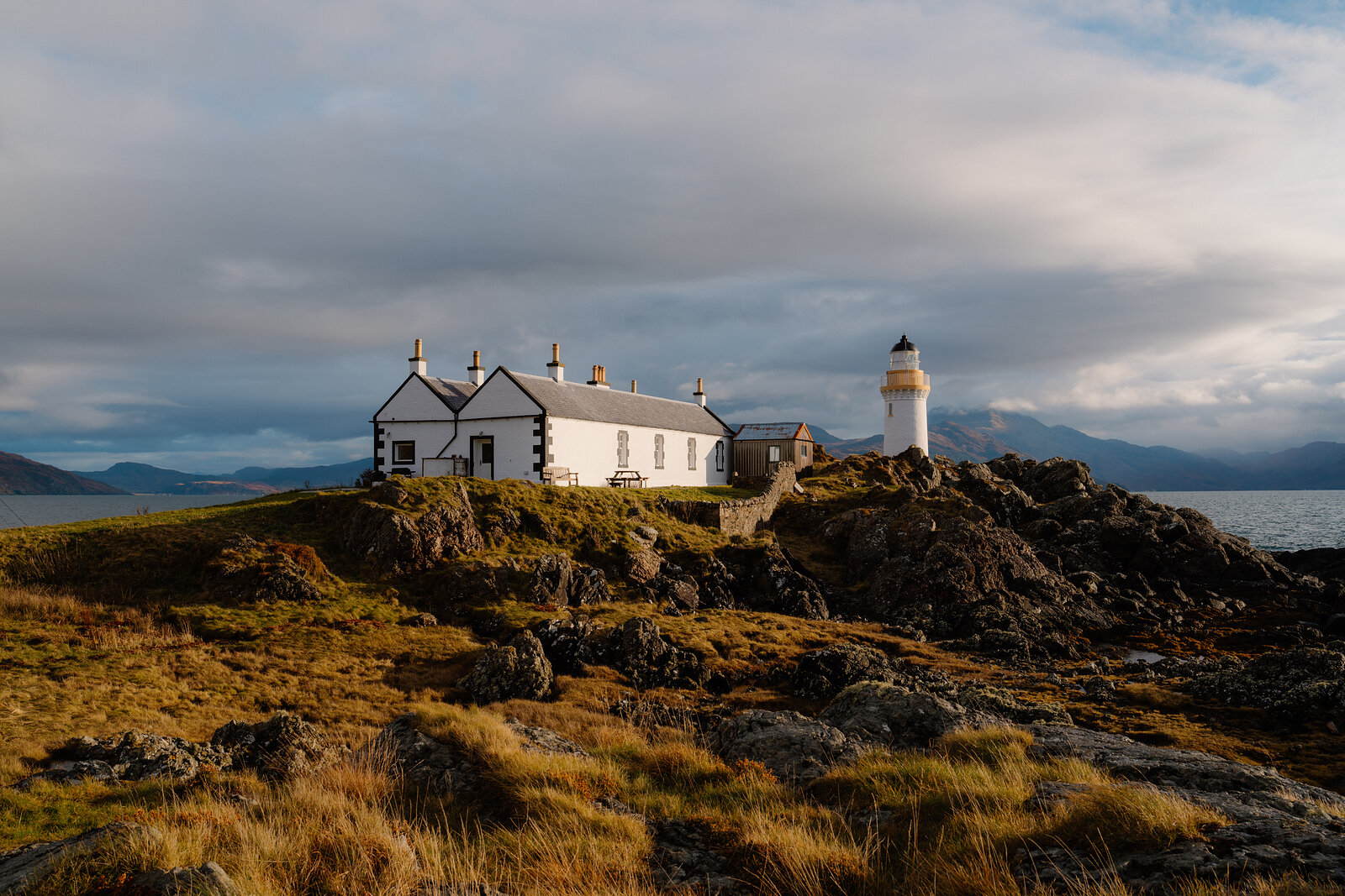
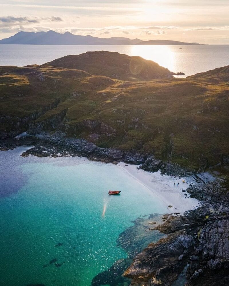
Beyond the track it is moorland path, with bracken high on both sides in summer. About two thirds of the way along, Camas Daraich lies 150 metres off the path: white sand and turquoise water, best on a low tide because a high one covers it entirely. The light stands on the rock at the far end.

The Daily

Arrives at 5am every day.

A free morning email to see what’s on this week, catch up on what’s happening in Scotland and find somewhere new to go.

The Daily for 15 November, from Scotland with love. Falls of Acharn, Loch Tay, its churning white water framed by orange and red autumn foliage.

The walk

A rough private track does most of the work, with one steep climb and a view back over the Aird crofting township to Knoydart and Mallaig.

After that it is moorland path, bracken-lined in summer, out to the light.

Distance
8.5 km, 5.25 miles, there and back.
Time
Three to four hours, or 3 hours 20 with no stops. About ninety minutes each way.
Climb
400 m over the round, in the rise and fall rather than one ascent.
Ground
Rough track with one steep hill, then moorland path. Wet in places.
Map
OS Explorer 412, Sleat.
The detour
150 m from the marker post down to Camas Daraich.

Before you go

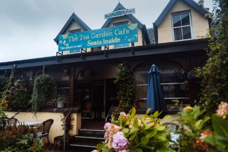
The car park is at the very end of the Aird of Sleat road, past the church gallery, and it is an extended farmyard: the gates on to it are in daily use, so leave them clear.

It is 4.3 miles and about ten minutes from Armadale, or roughly an hour from Portree, all of it single track at the end. No bus comes near the start. Carry water and food, because there is none on the way. If the beach is part of the plan, go when the tide is out.

Start
Car park at the road end, Aird of Sleat. Grid reference NG 588 007.
Parking
Free, a working farmyard. Do not block the gates.
Getting there
4.3 miles from Armadale, about ten minutes. No public transport to the start.
The track
A private access road serving the houses; you may meet vehicles on it.
The beach
Go on a low tide. A very high one covers the sand completely.
Dogs
Short lead or close at heel: sheep, and birds nesting on the ground April to July.

Been here? Tell others what you know, and the best go on this page with your name.

Add your review

Did you know

The grass track to Point of Sleat running between bracken, the bay open below it.
Did you know

The best view is the one behind you.

The steep pull early on is worth turning round for. The ground falls away over the crofting township of the Aird, and across the Sound of Sleat are Knoydart and the roofs of Mallaig. Most people walk it looking forward at Rum and miss the half of it that is over their shoulder.
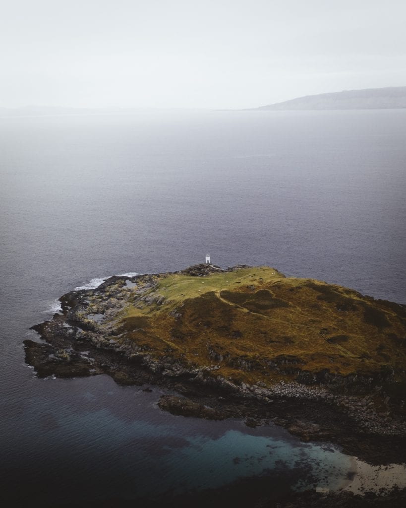
Small lighthouse on a grassy headland surrounded by grey sea
Did you know

The beach is a decision at a post.

About two thirds of the way along, at the pass, a marker post stands where the path forks. From there it is 150 metres down to Camas Daraich and its white sand. People who take it on the way out tend to walk the rest faster; people who save it for the way back sometimes find the tide has taken it.

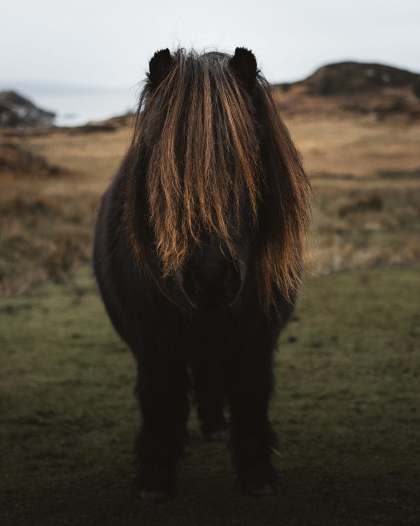
Shaggy-maned Shetland pony faces the camera in a coastal field
Did you know

In summer the track grows a hedge.

The stony track turns to grass part way along, and from about June it runs between bracken standing high on both sides. It dies back for the rest of the year, so the same stretch is open moor in April and a green corridor in August, and the walk reads quite differently in the two seasons.

The grass track to Point of Sleat running between bracken, the bay open below it.
What is on

What is new across Skye, day by day.

New places, news and stories, as we find them.

What is on on Skye
01 / 04

Recommend to a friend

Stay nearby

Places to stay near the walk, and when each is next free.

Hidden Scotland, the magazine

Scotland, in print.

We want to show you the best that Scotland has to offer. The makers and the creatives, the enduring experiences, the evocative tales, the concealed corners. The roads less travelled that take you to places that matter. The adventures that gather you up and sweep you away. The blend of the wild and the artistic that makes Scotland what it is. We’d love for you to join us.

Find out more

For further reading, before you go. The details on this page were checked on .