
Isle of Skye
Hallaig - Raasay
Key Information
Distance Hallaig round trip 7km; circular route 7.5km Ascent 250m (360m) Time 2 hours 30 (3 hours 30)
Terrain Excellent waymarked grassy path for much of the way. Rougher-going, muddy near the Hallaig Burn and vague paths only to the ruins of Hallaig. Variant return around Beinn na' Leac is rough and pathless in places
Map OS Explorer 409 Access Ferry from Sconser. Parking at road end, North Fearns.
The Walk
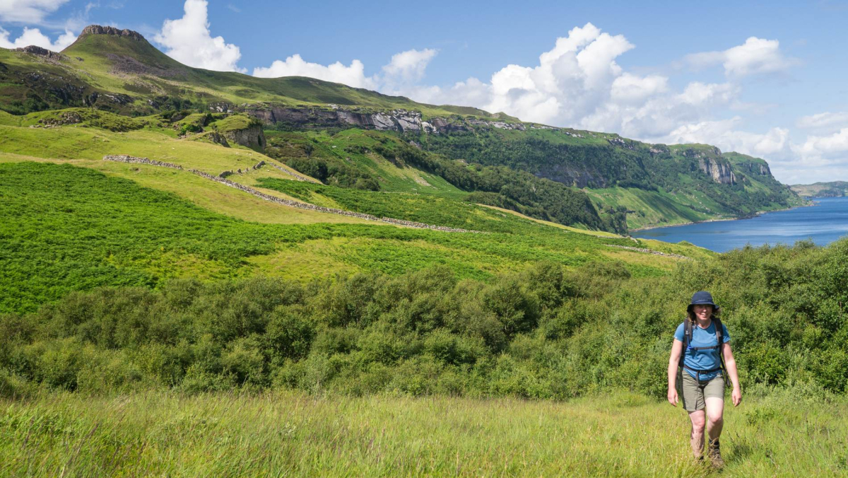
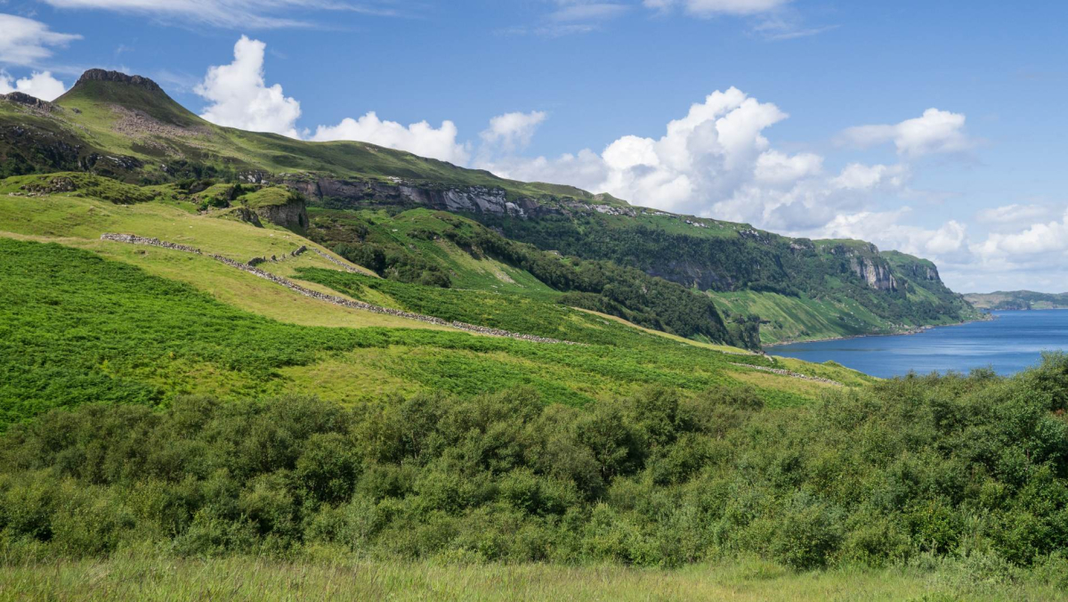
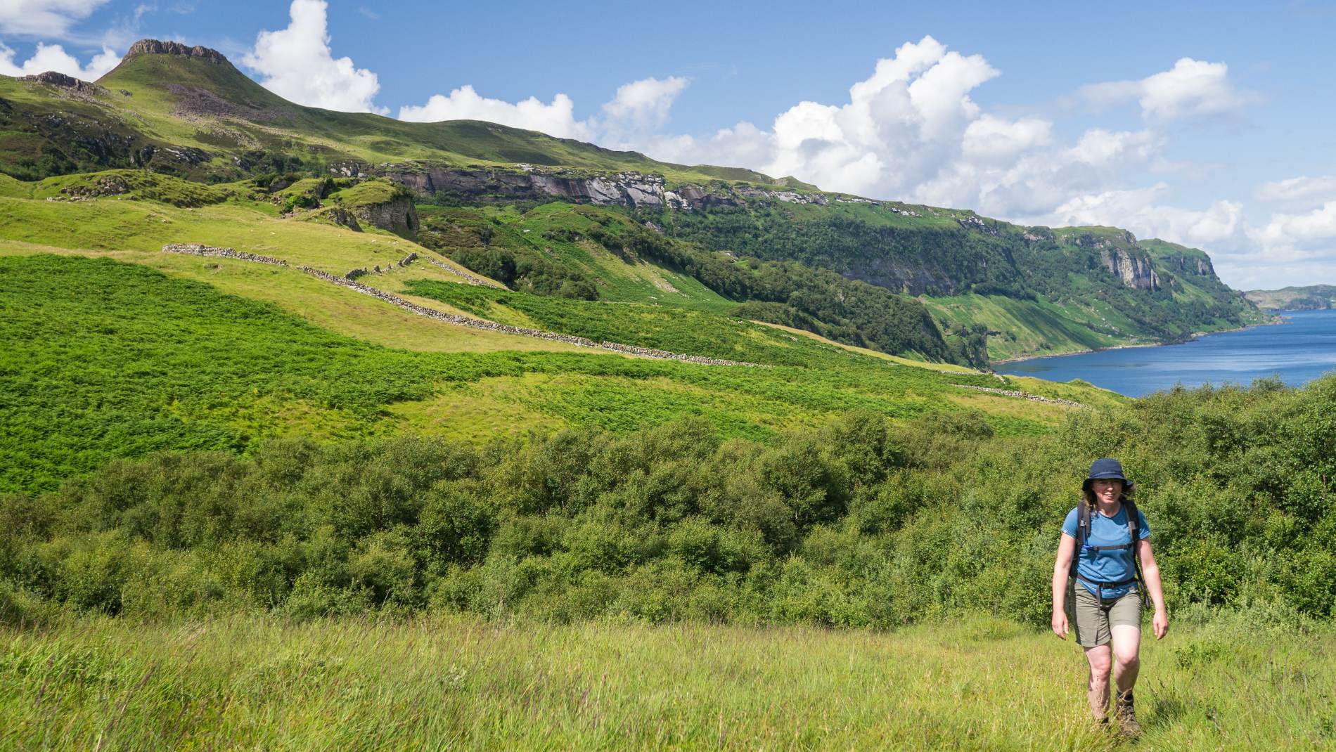
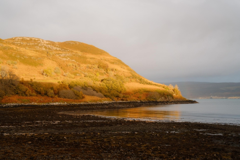
The abandoned village of Hallaig is tucked into an exceptionally beautiful fold of Raasay's coastline beneath a magnificent sweep of escarpment at the island's uninhabited south-east corner. The beautifully wooded Hallaig Burn tumbles down from the bealach between the heel of Beinn na' Leac and the long ridge running up to the crest of Dùn Caan to the north-west. The poignant ruins of this long-deserted township look out over the Inner Sound to the coast and mountains of Applecross, while the wooded cliffs of Raasay's east coast stretch away to the north. This once-thriving settlement was depopulated between 1852 and 1854, during which time a total of 94 families from 12 townships on Raasay were cleared from the land through evictions and forced emigration. Hallaig's fate is widely known for the eponymous poem, a lament to the emptied landscapes of the Clearances, originally written in Gaelic by Sorley Maclean, himself a native of Raasay.
The walk out to Hallaig is most often undertaken as an out and back route. The circular alternative also described here is more demanding but adds an extra dimension.
The Route
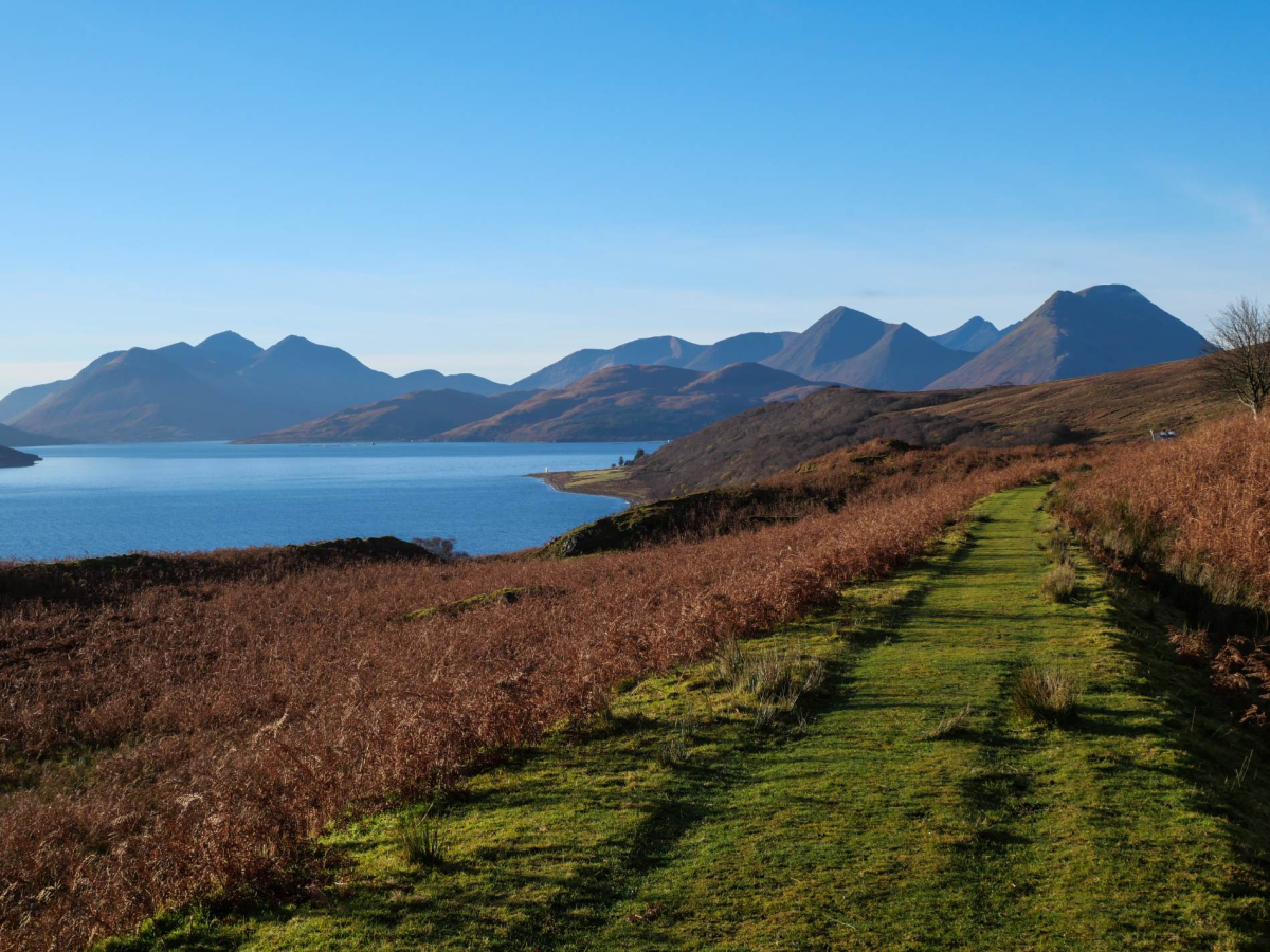
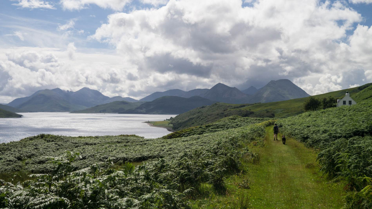
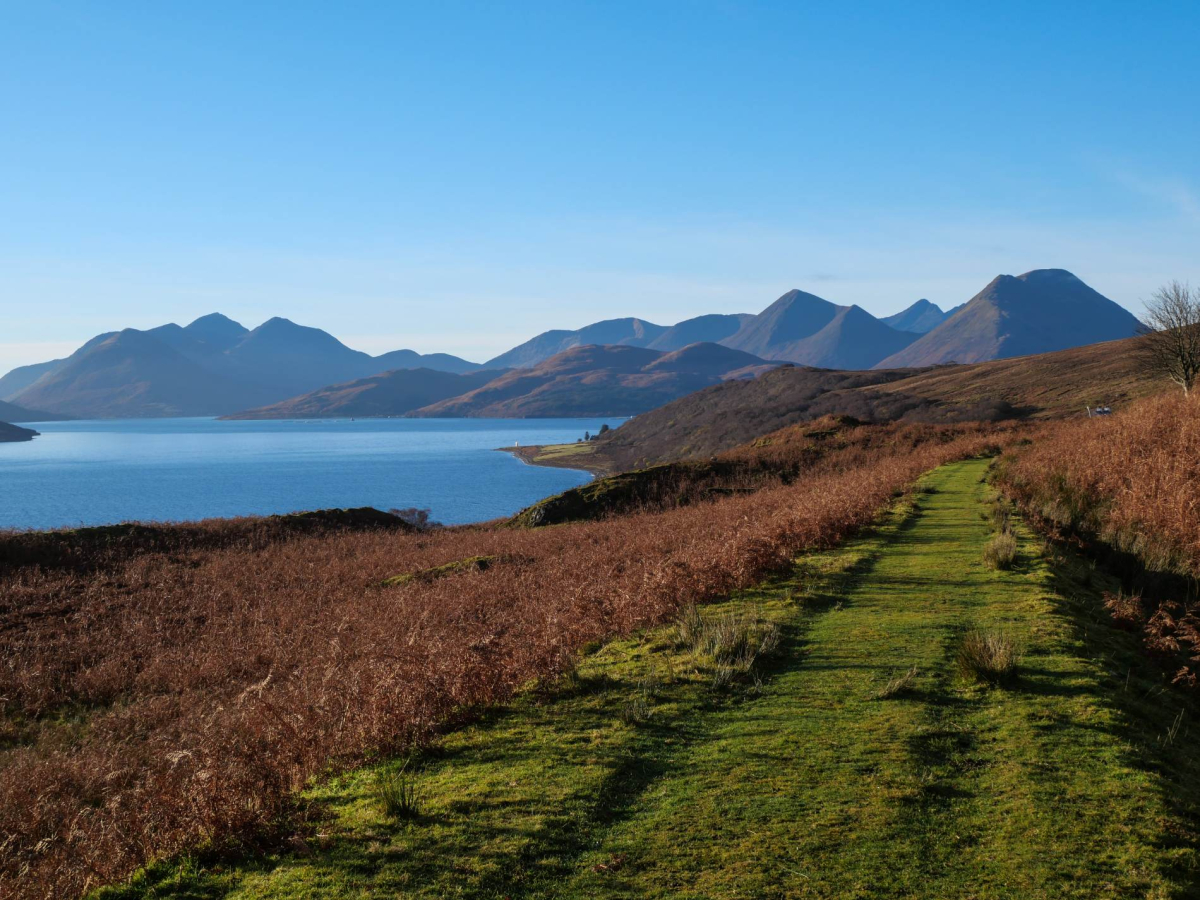
1.By the parking area next to the final house at road end in North Fearns, a wooden signpost indicates 'Hallaig 3.2km'. Continue along the well-constructed grass track, which runs high above the shore along the island's east coast, with fine views to the Crowlin Islands and the mountains of the mainland across the Inner Sound. The gently undulating bracken-fringed path makes for generally easy going underfoot if wet in places.
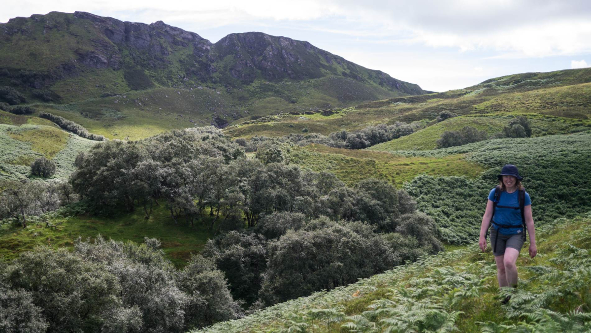
2. After 2km the track swings left beneath an impressive limestone cliff where stands a cairn commemorating Sorley Maclean with a brass plaque bearing the words of 'Hallaig', his most celebrated poem, in both Gaelic and English. The abandoned township itself lies a further kilometre to the north-west beneath the crags and cliffs flanking Dùn Caan. Continue along the path, soon entering birch woodland and passing the ruins of a stone-built stable. Cross a clearing with the corrugations of old lazy beds still apparent and enter a second swathe of birchwood as the well-built track gives way to a rough path. Pass through the woodland and then emerge into another clearing; where the path forks, keep right and descend through birch trees to cross the Hallaig Burn flowing down through its wooded gully.
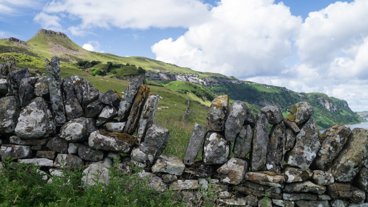
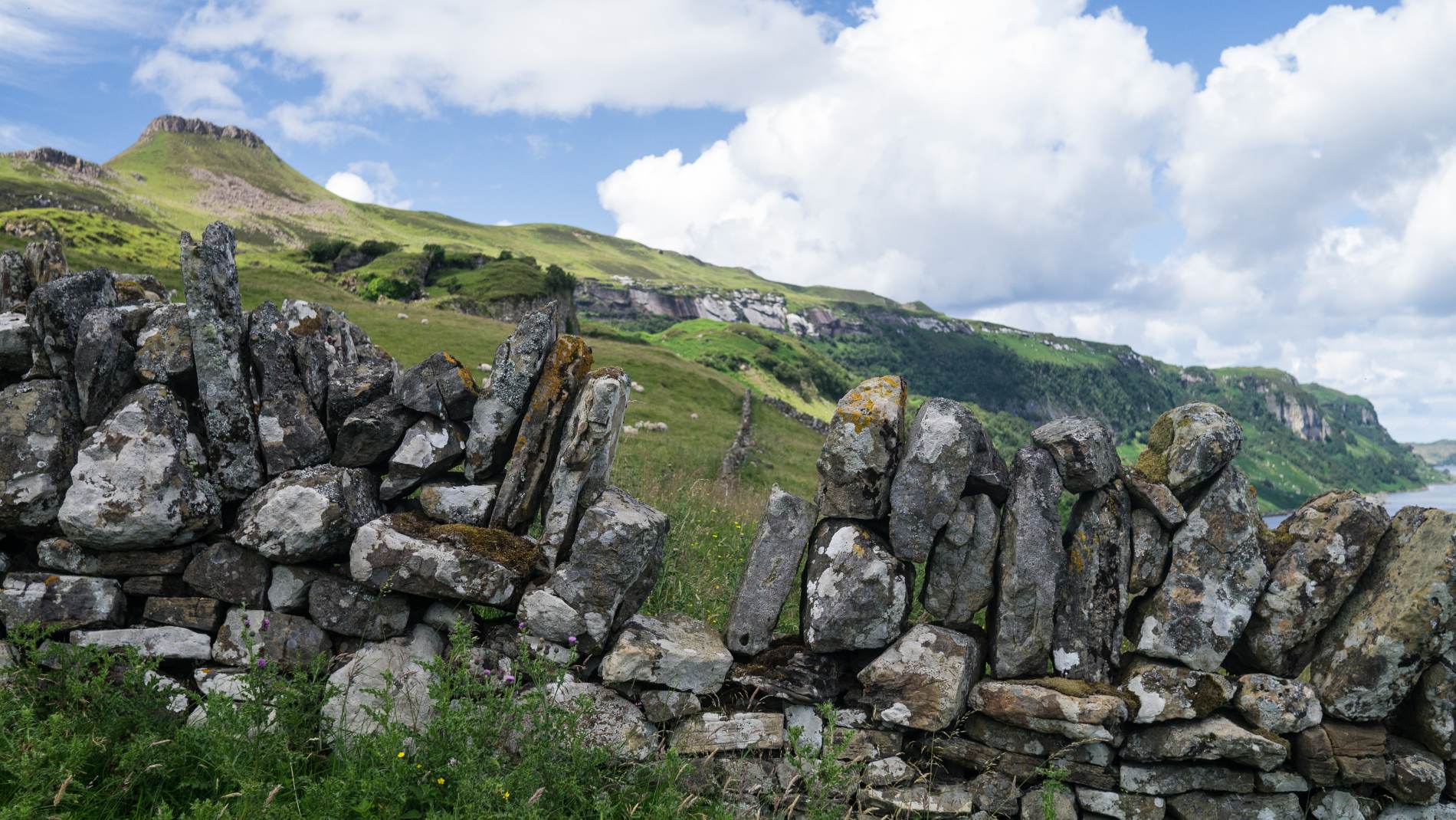
3. Once across follow the faint, often muddy path climbing away from the burn. On emerging from the trees make for the bottom corner of a huge drystane-dyked enclosure and follow this uphill to reach a stone-built byre. Continue to the right to explore the ruins of Hallaig – the stone walls and grassed-over footings of houses and byres scattered across the grassy terraces.
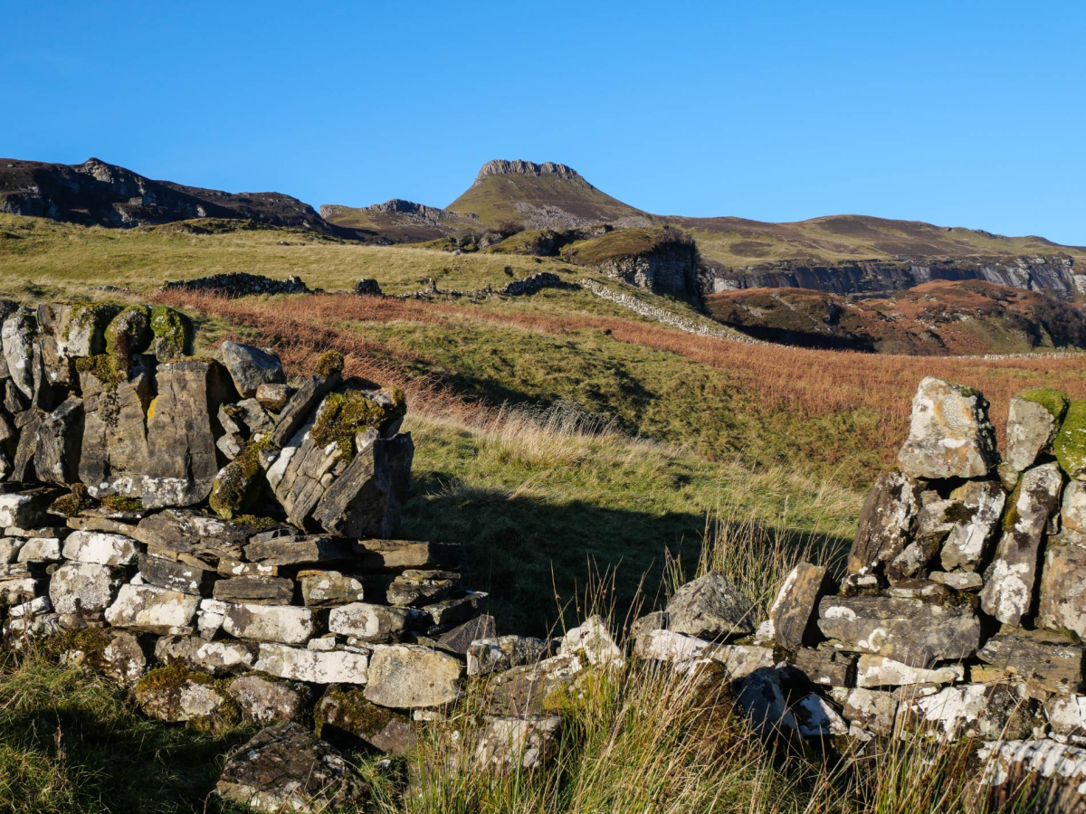
On a fine day it's hard to imagine a more idyllic site for a settlement, bounded to landward by wooded slopes and cliffs capped by the cockscomb summit of Dùn Caan, with an outlook across the Inner Sound to the mainland mountains and northwards along Raasay's magnificent east coast. Hallaig was at one time likely the largest township on Raasay. Archeological surveying records some 80 structures at the site, comprising 44 ruined houses as well as byres, stores and enclosures.
Either retrace your outward route to return to North Fearns or follow the route description below if you want to make the walk into a longer, more demanding circular walk – paths are unmarked, often vague and intermittent, so a little navigational competence is required. The going is also rough at times with dense heather cover and rocky ground.
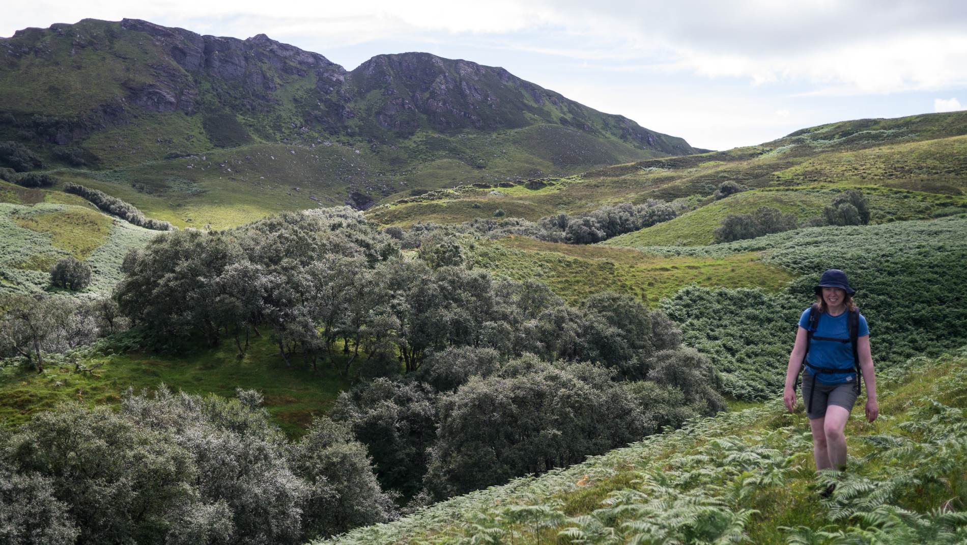
4. From the site of Hallaig head initially southwards up the slopes following paths through the heather and bracken as best you can. Then trend south-southwest, aiming towards the bealach between Beinn na' Leac and the buckled moorland escarpment running up to the crest of Dùn Caan. Once you've reached the bealach, follow the trodden path along a prominent natural dyke running south-westwards along the flank of Beinn na' Leac.
5. Having crossed the bealach keep your height, contouring around the flank of the hill rather than dropping into the broad gully through which the Allt Fearns flows. Continue following the rough path south-westwards until the flank of Beinn na' Leac is turned through a gap with a knoll to the right. Descend south-eastwards through a grassy rake and then continue steeply down the hillside, making for the road at North Fearns below.
Location
What's nearby


-medium-large-1736370118.jpg)




-medium-large-1717098768.jpg)
-medium-large-1736459220.jpg)


Where to stay nearby






 Sign in with Google
 Sign in with Email