Isle of Skye
The Storr Sanctuary

Key information
Distance 5.25 km
Ascent 350 m
Time 2 hours
Terrain Good paths through cleared forestry, some steep and rocky ground higher up with some erosion. There is some danger of rockfalls from the cliffs above the Old Man
Map OS Explorer 408 or Harvey Superwalker Storr and Trotternish
Access 57c bus from Portree – ask to be let down near the Storr parking area, which is on the left side of the A855 heading from Portree towards Staffin. There is a charge for the car park and there are toilets.
The Walk
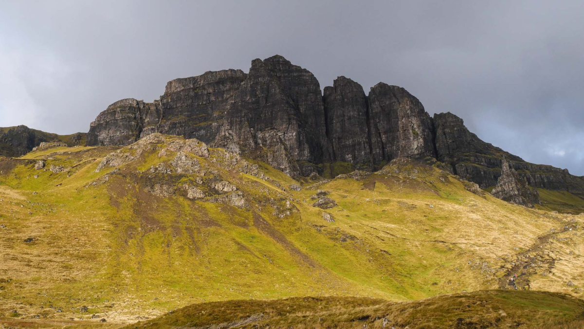
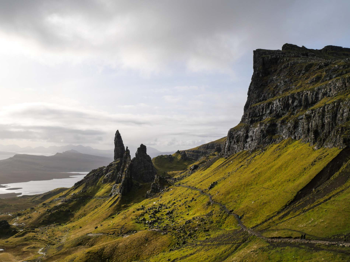
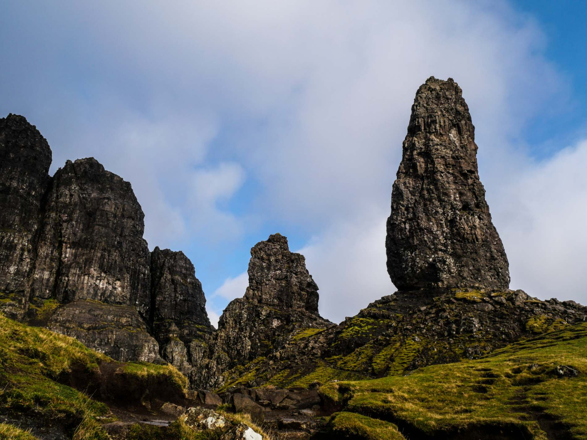
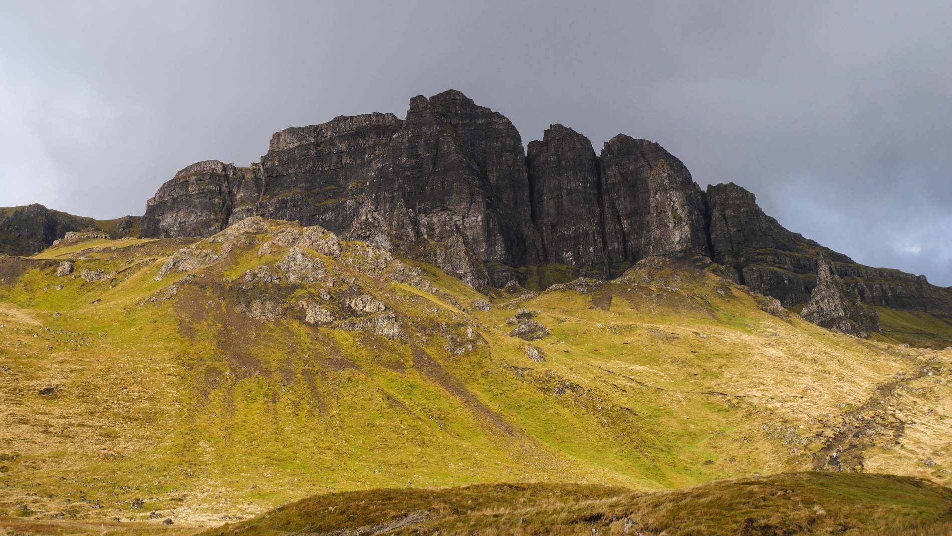
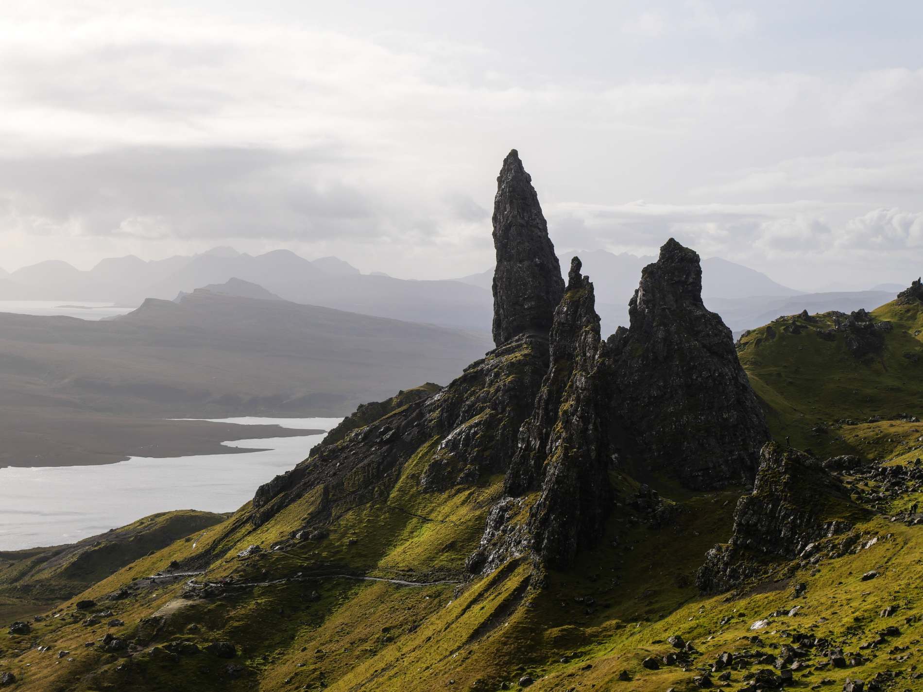
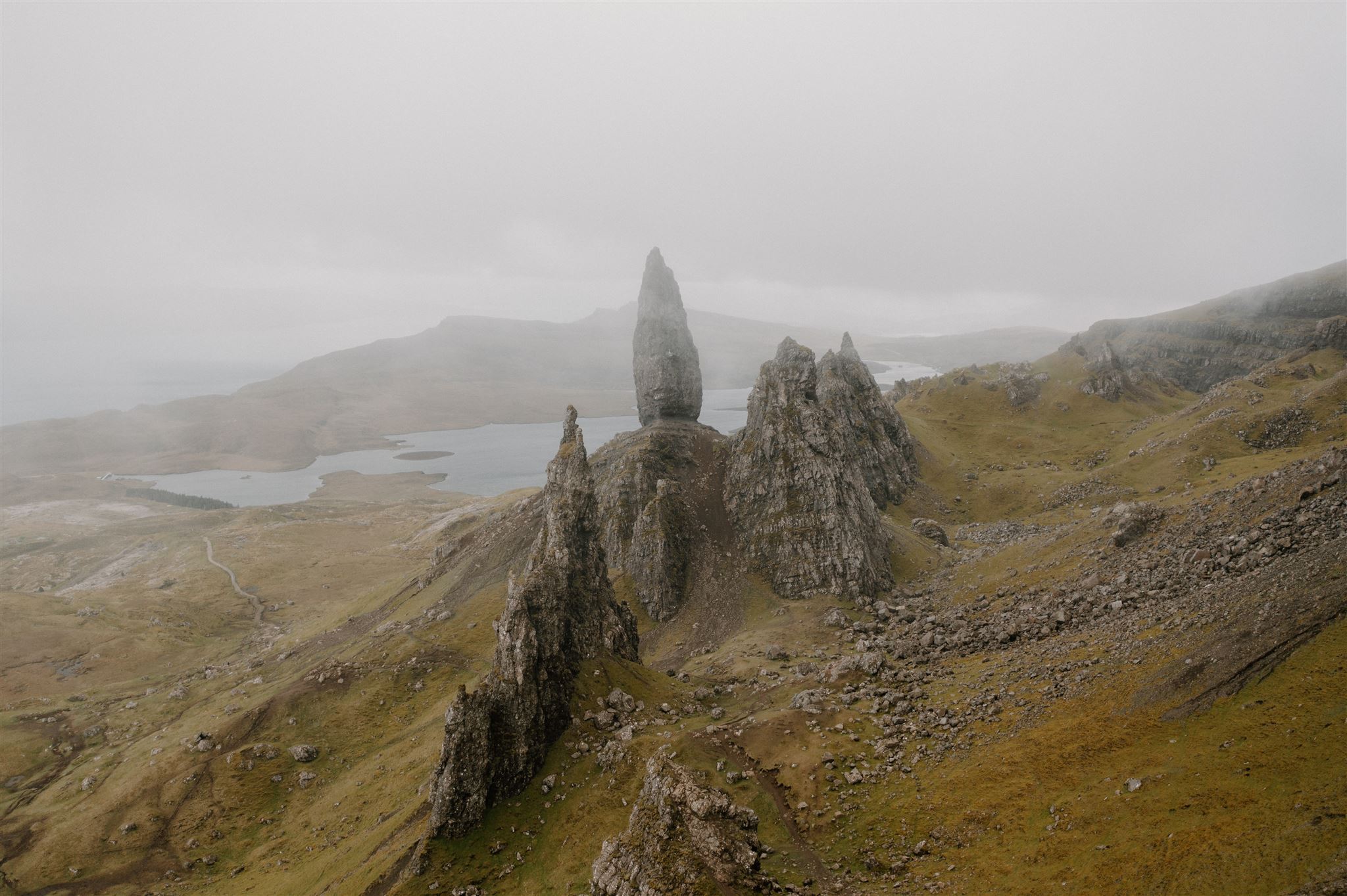
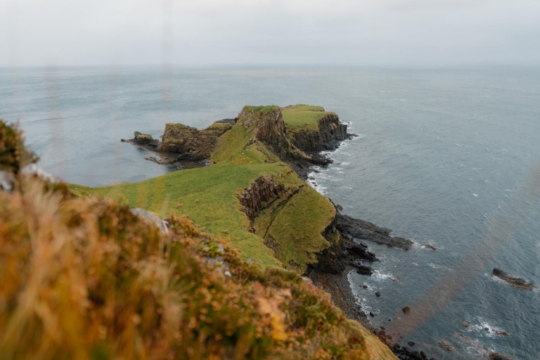
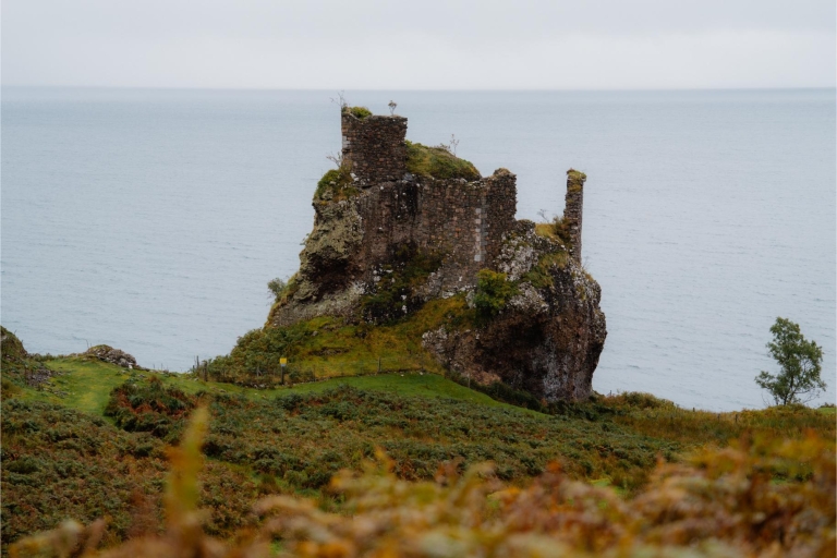
Rising to 719m, its distinctive form visible from afar, the summit of The Storr is the highest point of the Trotternish ridge. Beneath the imposing, craggy cliffs of its eastern flank is an outlandish landscape of pinnacles and other rock features known as the Storr Sanctuary. The steep walk up to the Storr Sanctuary from the A855 is very popular with visitors keen for a close encounter with the huge basalt pinnacle of the Old Man of Storr, one of Skye's best-known and most-photographed landscape features, which stands 50 metres from base to summit. In fact the Old Man – or Bodach an Stoir – is the most prominent of an array of fantastic rock features in the Sanctuary, including Pinnacle Rock, which were left standing in the aftermath of ancient landslips. Indeed, the Trotternish Ridge is the longest geological landslip in Britain. The area is composed mainly of ancient lava flows, which can be seen in the horizontal layering on The Storr's exposed cliff faces. The landslips were caused by the underlying sedimentary rocks collapsing under the weight of the dense volcanic basalt, tipping the layers sideways.
The route described here visits some of the best viewpoints in the Storr Sanctuary and leaves the crowds behind for at least part of the walk. As well as the remarkable landscapes of the Sanctuary itself, there are also tremendous views out over the Sound of Raasay to the eponymous island and the mainland beyond.
From the car park go through a gate to join the broad gravelled path, which winds its way uphill through cleared forestry. Keep right at a fork and climb along the sinuous path, eventually passing through a gate; as height is gained there are grand views back eastwards to the isles of Raasay and Rona with Applecross on the mainland beyond. The path eventually zig-zags its way up the steep slopes to a gate in a deer fence; go through and continue across the open moorland with the spectacular, craggy cliffs of the Storr rising ahead.
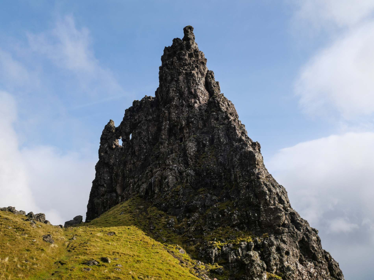
Continue up the broad path; at this point the Old Man can be difficult to pick out against the backdrop of cliffs. As the path climbs, look out for a distinct path forking left and leave the main route here. The path contours a little before a steepening climb and eventually arrives at a small col close to the Old Man with the main cliffs of The Storr directly above. Climb up to the left of the Old Man, but not directly up to its base, keeping left at a fork. From this vantage point the towering pinnacle is immensely impressive, resembling a huge leaning menhir with its tapering top. Undercut by erosion at its base, the Old Man appears to be on the verge of toppling. It was first climbed in 1955 by the renowned mountaineer, Don Whillans by a route that is still classified as Very Severe – the rock is also famously unstable.
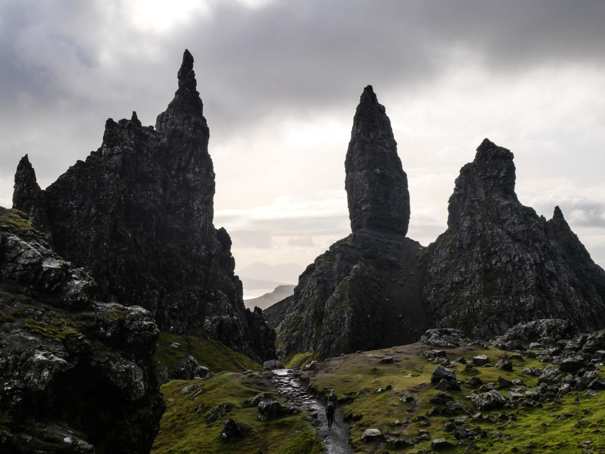
As there is some risk from rockfall along the next part of the route, it should be approached with caution and indeed avoided after heavy rain or freezing conditions. In this case just explore the environs until you are ready to return to the start. Otherwise, instead of heading up to the Old Man, take the path that descends into the dip to its rear and pass behind the Old Man; the path is distinct but it briefly crosses a a short stretch of fallen rocks. This area, amid towering cliffs and rock pinnacles, is known as the Storr Sanctuary. Ahead stands the rather Gothic-looking Needle Rock, also known as the Cathedral; a gravity-defying, castellated slab of rock, which has a pair of 'windows' right through it near the top. Pass behind the Cathedral Rock and continue along the path leading north, staying below the cliffs, to reach a small col. Head over to the small knoll on the right for a magnificent view back to the Old Man.
From the knoll, return to the col and then head back down the path behind Cathedral Rock. Now bear left on a path descending between Cathedral Rock and the Old Man to reach the main path. Follow the path down to and through the deer gate with the magnificent view across the Sound of Raasay to savour as you descend. Continue down through the cleared forestry by your outward route or for a bit of variety you can turn right at the fork to follow the alternative, slightly longer path back to the start. This winds its way downhill and passes a small lochan before rejoining the outward route not far from the parking area.
Location
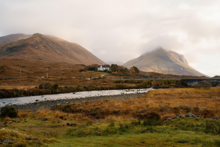
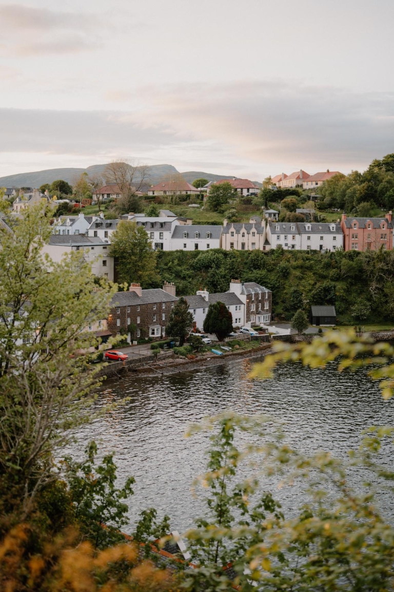
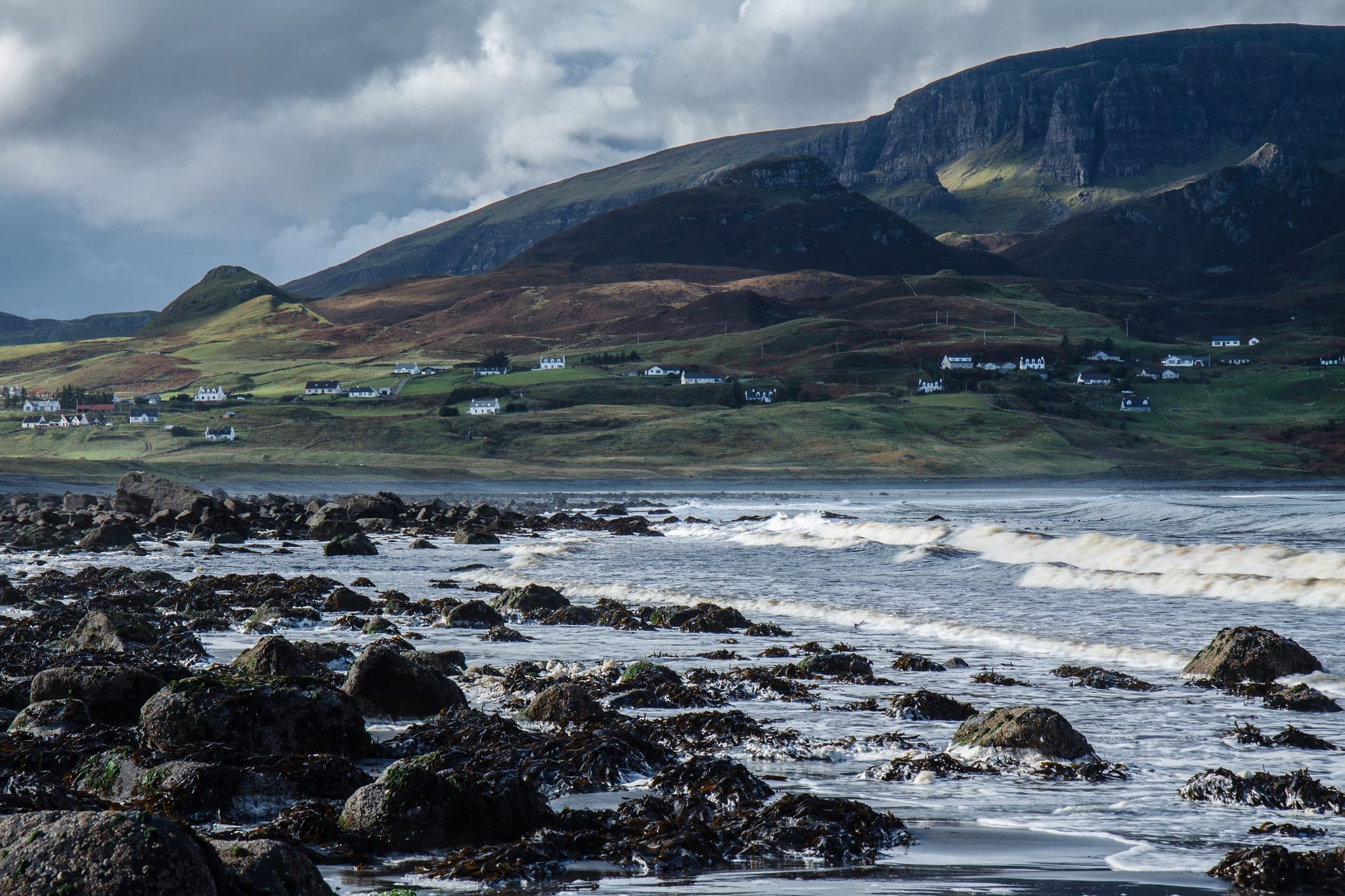
The Storr rises dramatically from the Trotternish Ridge on the Isle of Skye’s east coast, just north of Portree. Its striking rock formations, including the iconic Old Man, are visible for miles. The walk begins at the Storr car park on the A855, offering access to one of Scotland’s most recognisable sites.
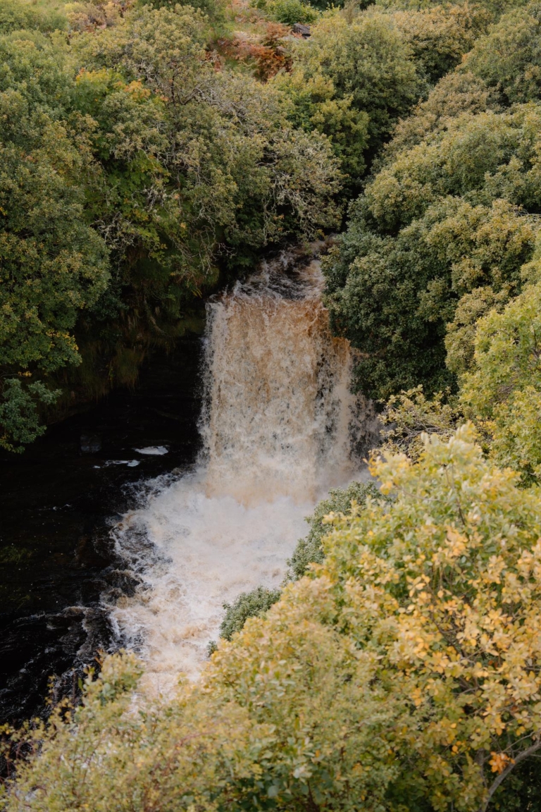
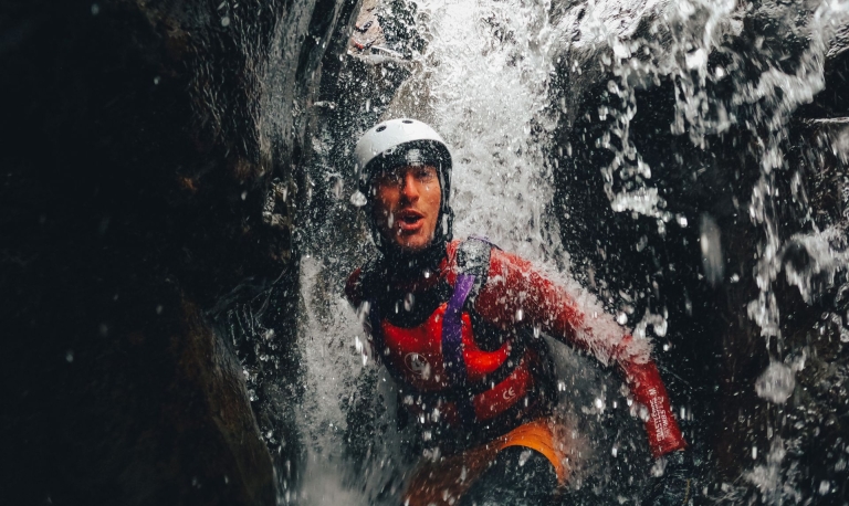
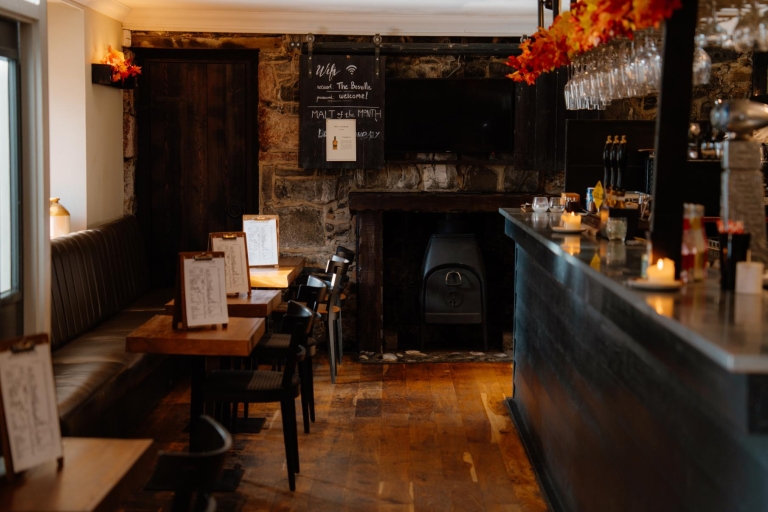
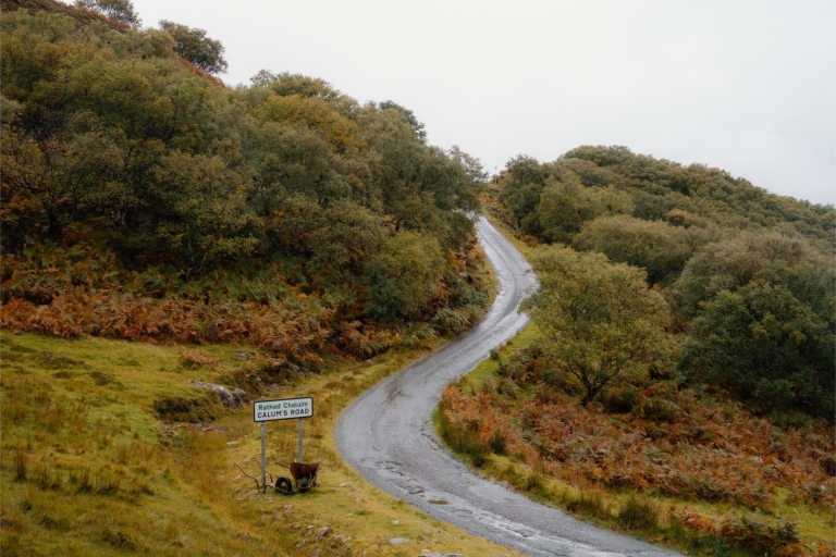
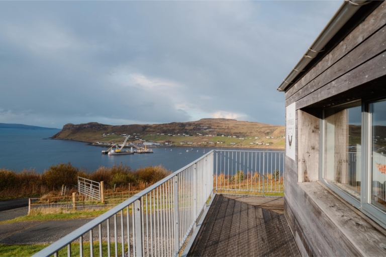
What's nearby
-medium-large-1736370118.jpg)
-medium-large-1772030098.jpg)


-medium-large-1736459220.jpg)


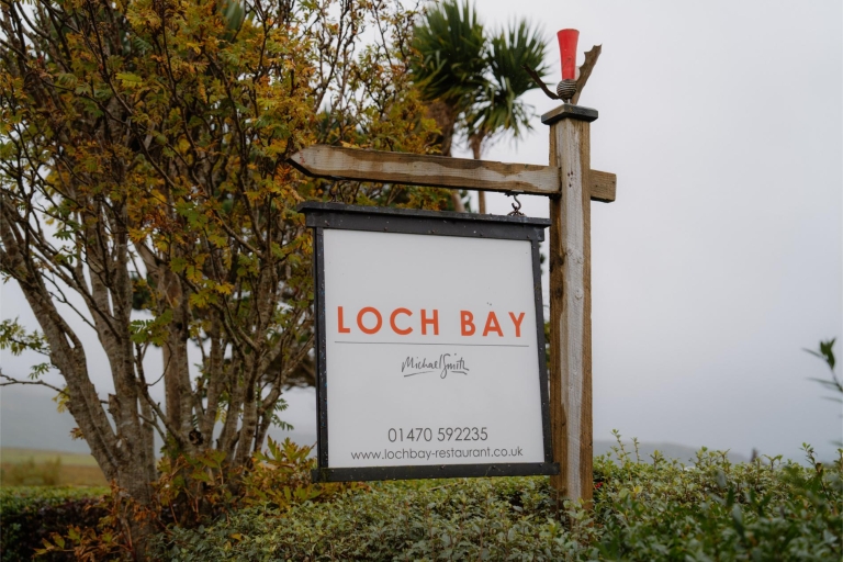
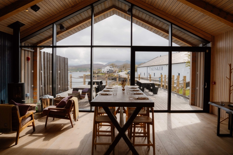
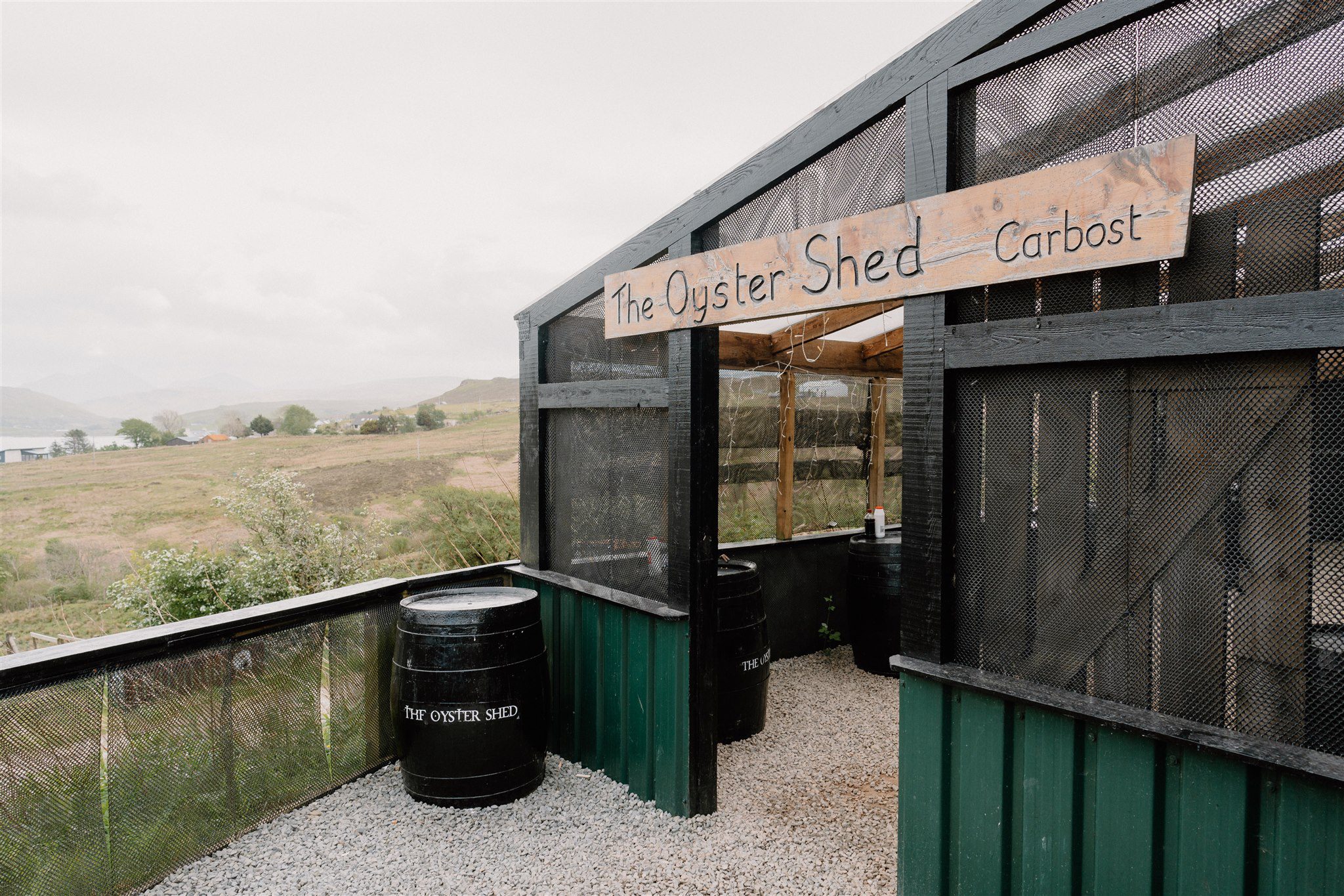
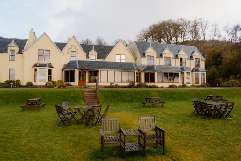
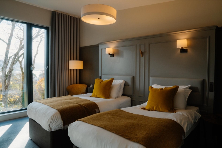
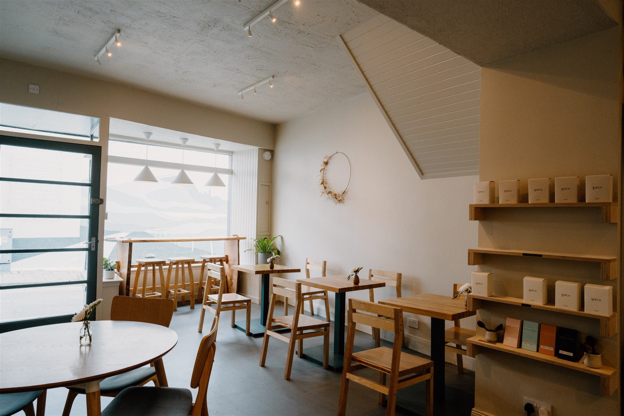
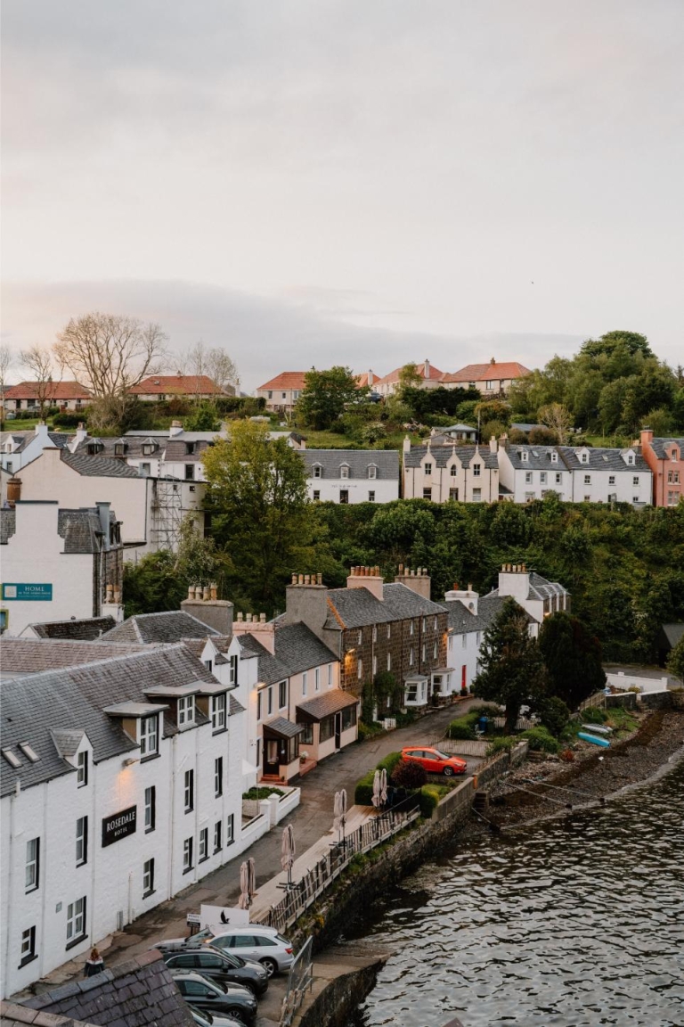
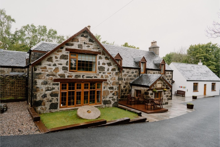
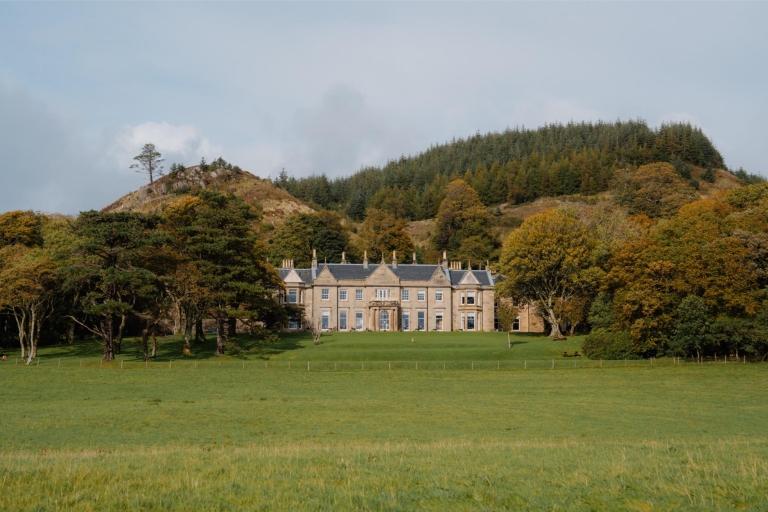
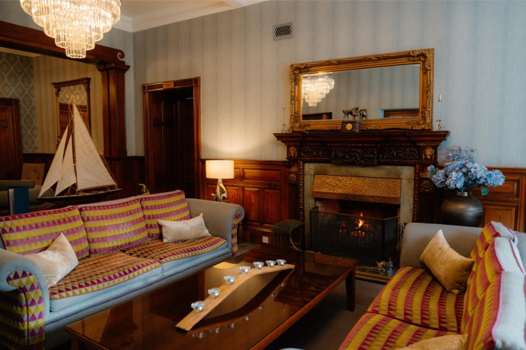
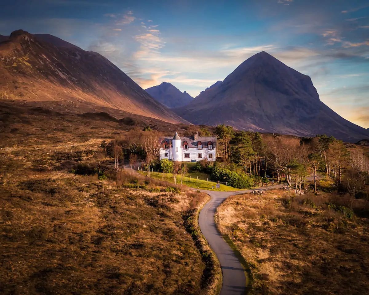
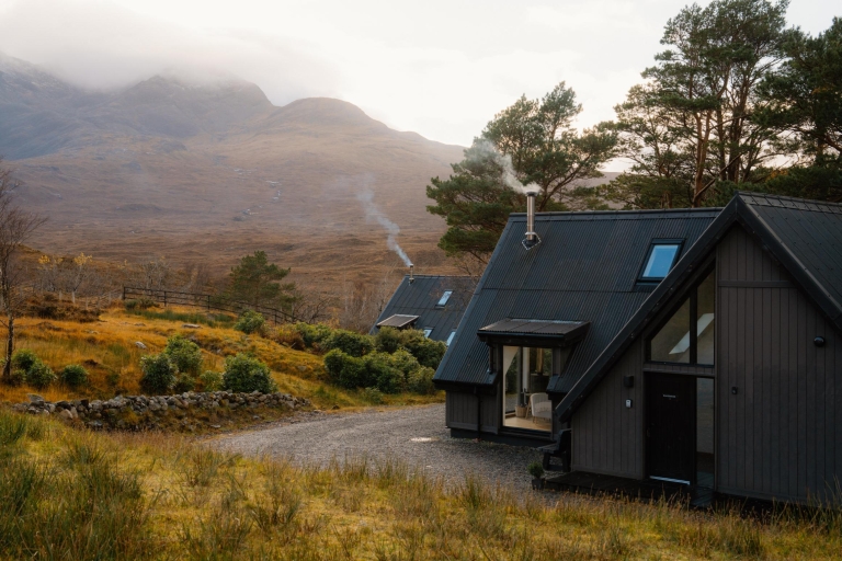
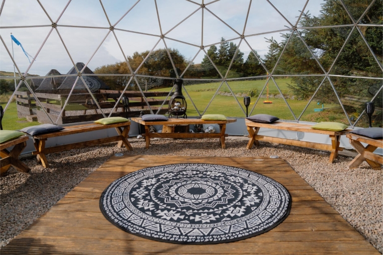
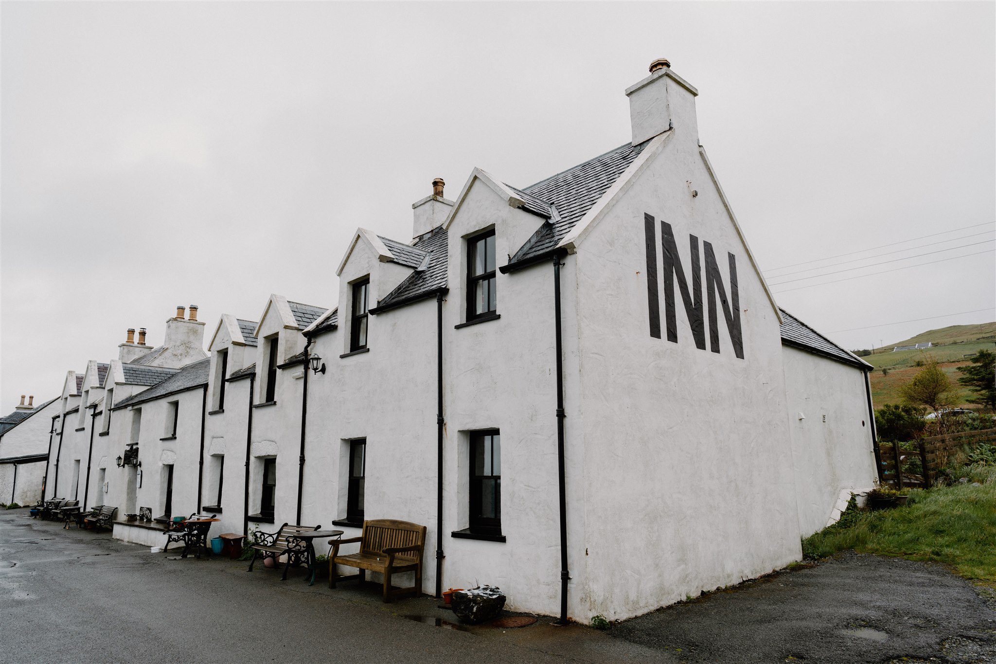
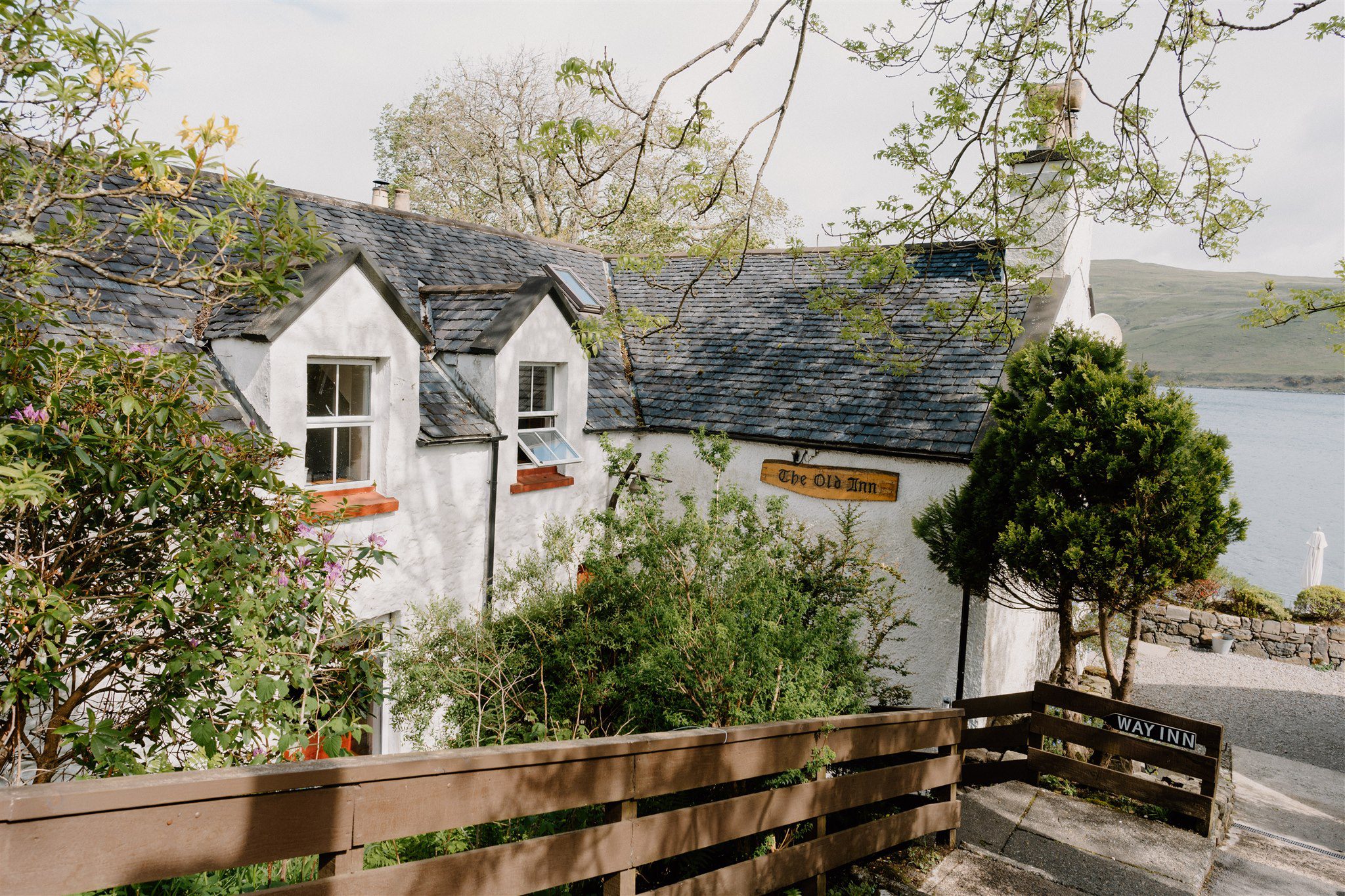
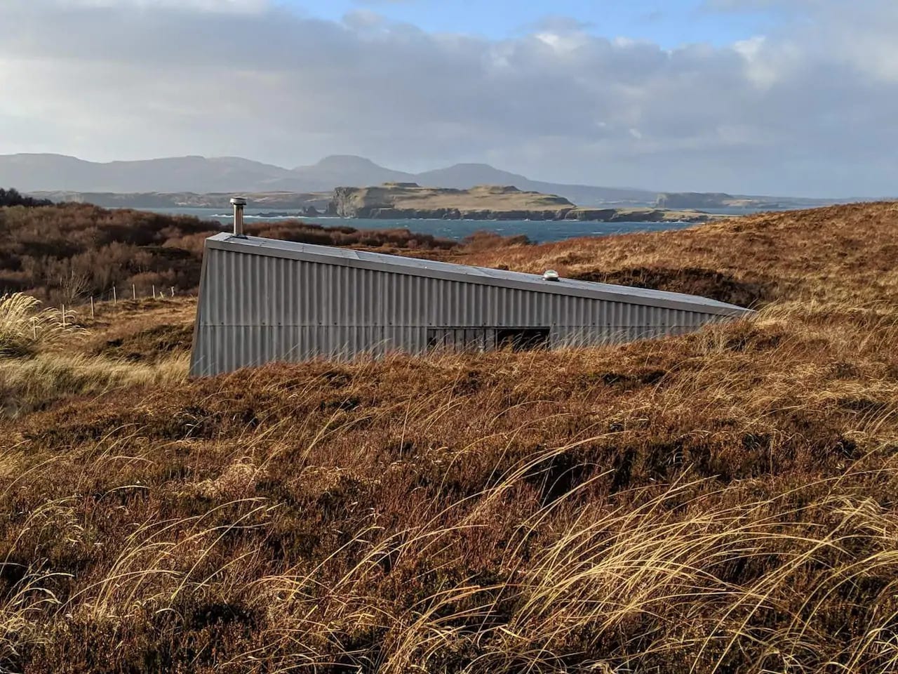
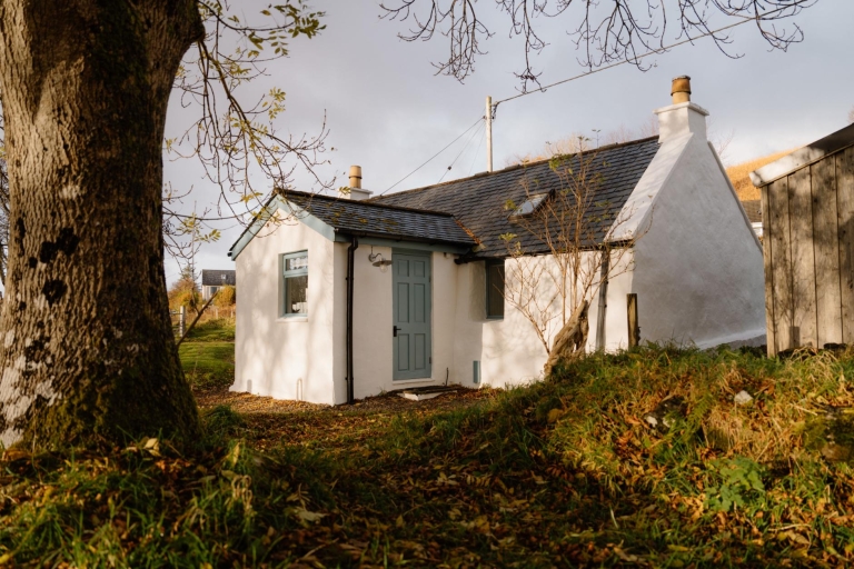
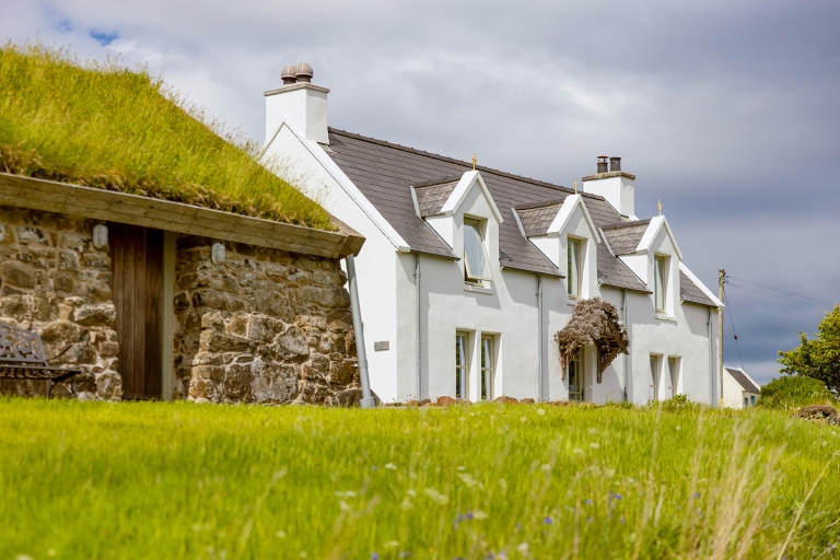
Where to stay nearby
 Sign in with Google
 Sign in with Email