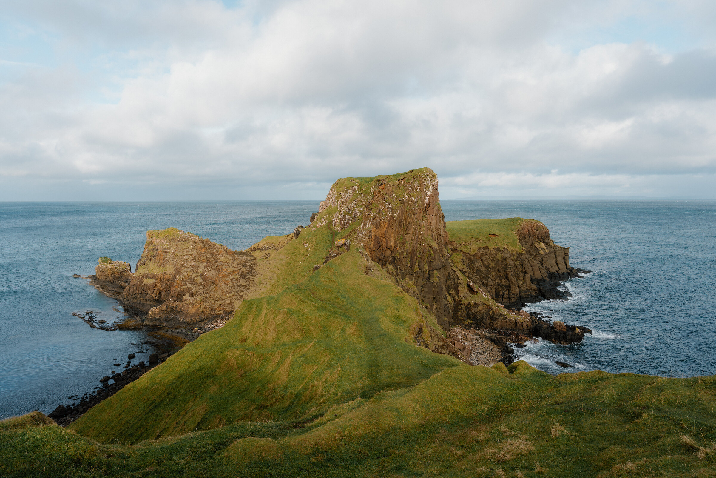
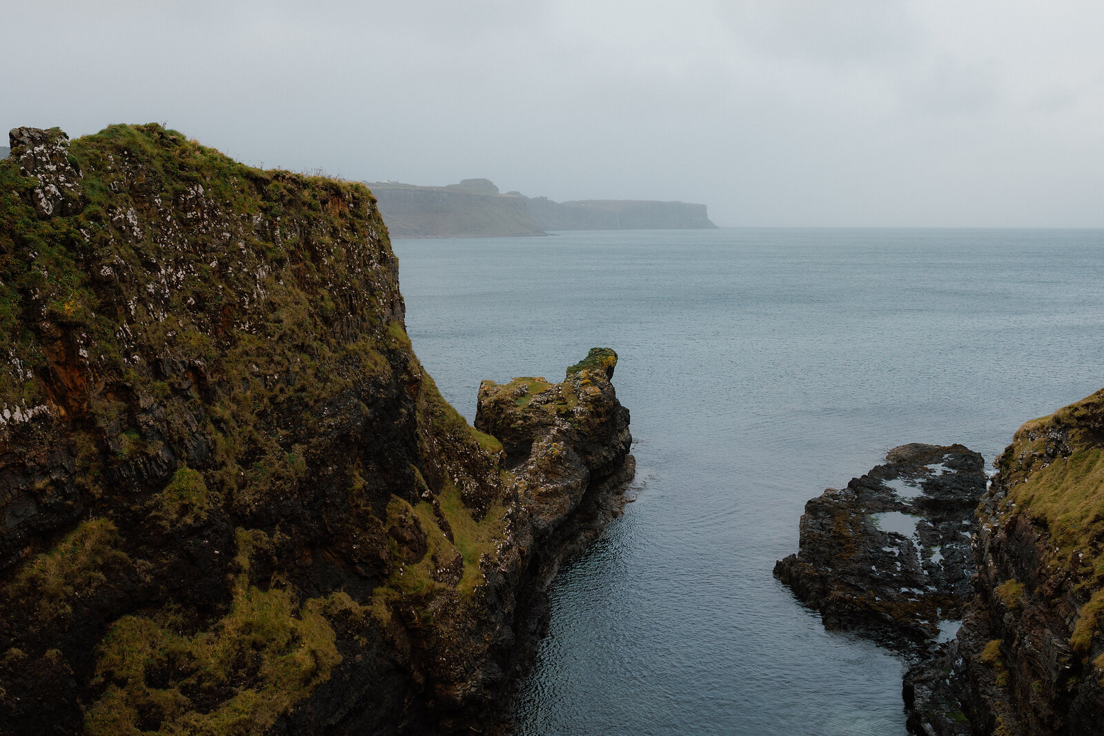
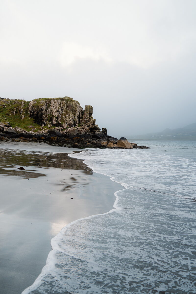
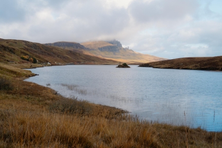
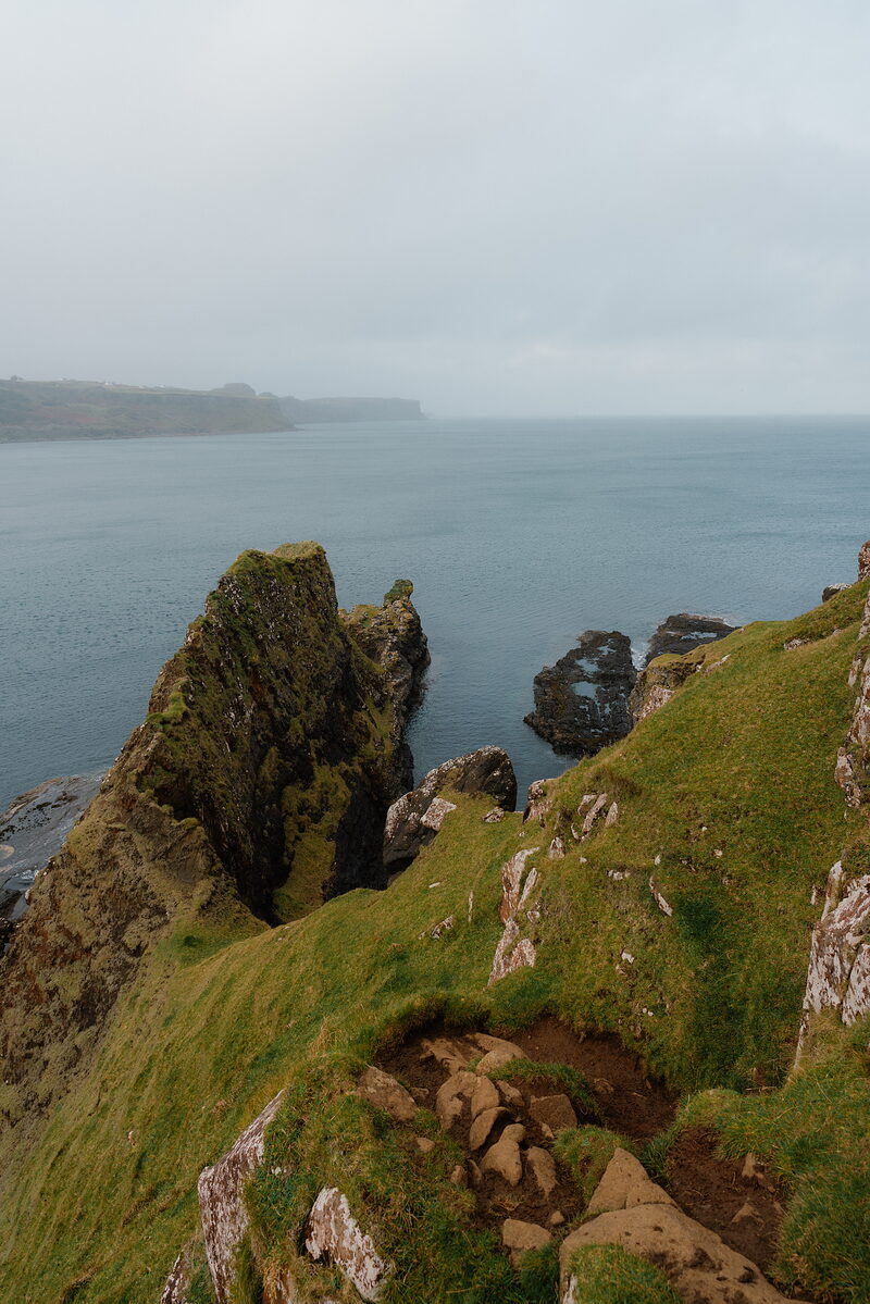
A grassy headland with a saddle-shaped ridge extends into calm sea beneath a grey sky.
Isle of Skye

Brothers' Point

The easternmost point of Trotternish, a grassy headland over the sea, 3.5 kilometres there and back from Culnacnoc.

Welcome

Rubha nam Brathairean, the Brothers' Point, is the easternmost tip of Trotternish: a long green headland running out into the sea below the village of Culnacnoc, with a lump of rock halfway along and a grassy plateau at the end.

Visited and photographed by Simon Hird

A good path drops from the road to the shore, past the ruins of old crofts and a salmon netting station, and then the walking turns serious, along a steep path above vertical drops and up over Dùn Hasan.

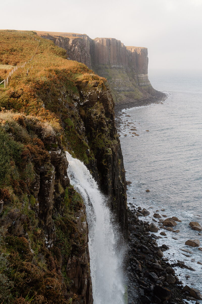
The reward is the plateau, with the sea on three sides and Kilt Rock in view to the north. The name is thought to come from monks who lived here in single cells, and the tidal rocks by the burn at the foot of the path hold footprints left by dinosaurs about 170 million years ago. Families stop there, on the shore: the way on to the point, above sheer drops, is only for the sure-footed. Allow up to two hours for the 3.5 kilometres there and back, keep well back from the edges, and leave the prints as you find them.

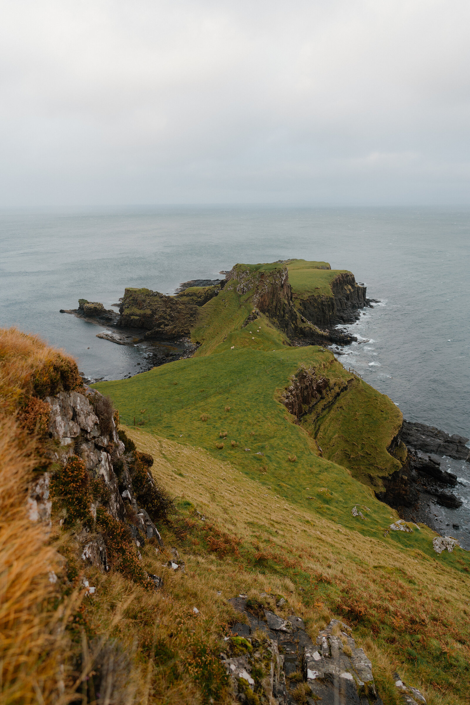
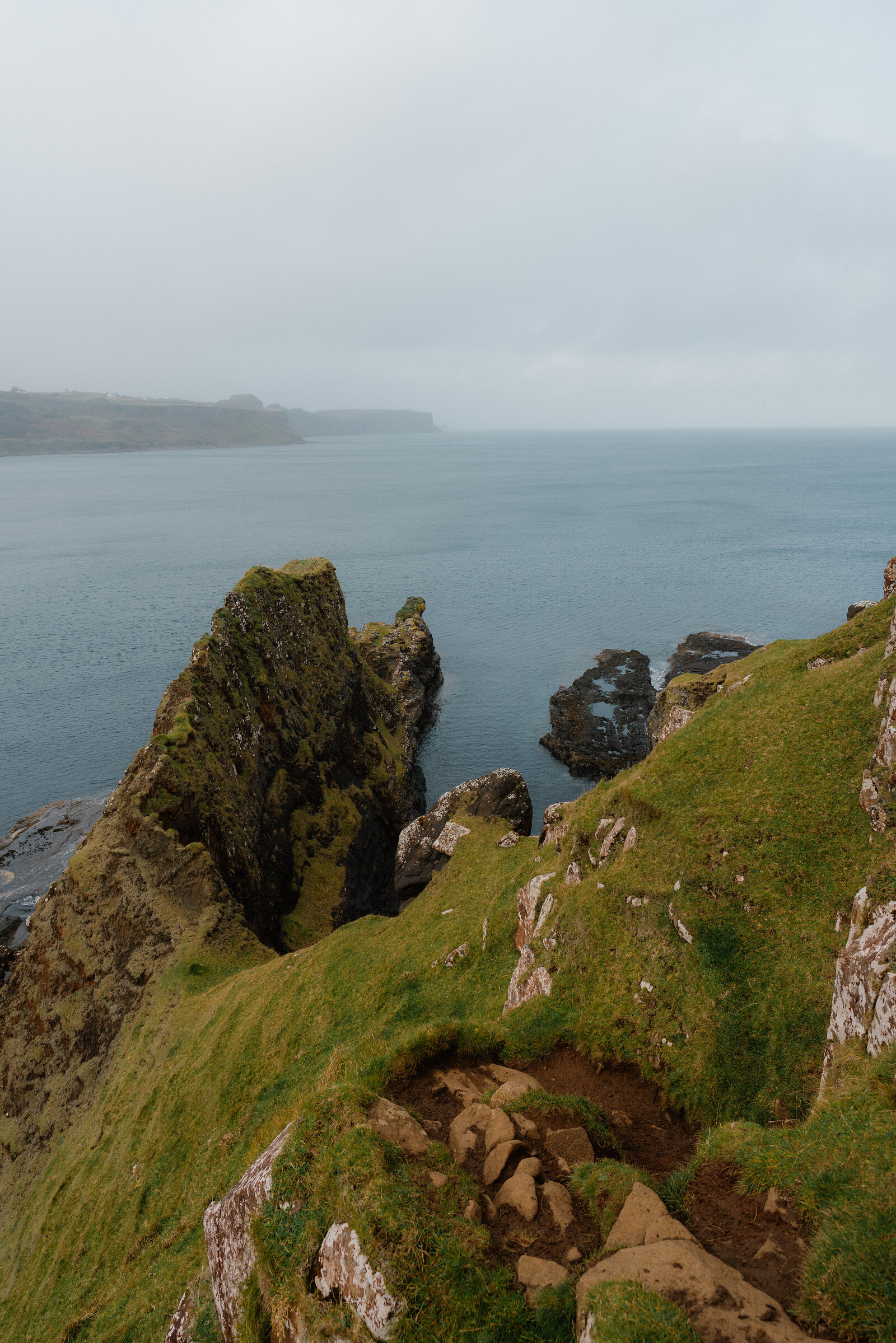
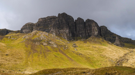
A grassy headland with a saddle-shaped ridge juts into the sea between rocky cliffs.
Brothers' Point from the ridge path, Dùn Hasan in the middle and the grassy plateau beyond.Press a mark to look closer.
The walk

A good path down to the shore by the burn, where families stop; then, for the sure-footed only, a steep one out along the point above sheer drops, and back the same way.

Distance
3.5 kilometres there and back.
Time
One to two hours.
Climb
238 metres.
The path
Good down to the shore by the burn, where families stop. Out to the point it is steep, above vertical drops: only for the sure-footed.
Underfoot
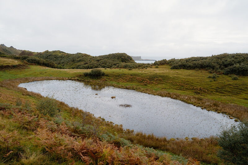
The field before the point is boggy and has no path.
Map
OS Explorer 408, Trotternish.
Before you go

The walk starts from a small public car park on the A855 at Culnacnoc, north of Portree on the road to Staffin.

Parking
The small public car park on the west side of the A855 at Culnacnoc, just north of the Grealin turn and about 120 metres north of The Glenview, whose own car park is for its customers. It holds only a few cars; if it is full, Lealt Falls car park is 2 minutes' drive back south, about 40 minutes' walk in through Grealin.
By bus
The 57 from Portree: get off at The Glenview, Culnacnoc.
The start
Across the road, at a wooden footpath sign for Rubh' nam Braithrean.
Footprints
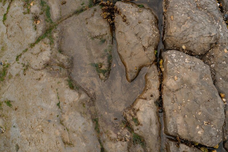
The dinosaur prints are in the tidal rocks by the burn at the foot of the path, and more out towards the point. Families stop on the shore by the burn. It is a scientific site: look, photograph, and leave the prints as they are.

Been here? Tell others what you know, and the best go on this page with your name.

Add your review

Did you know

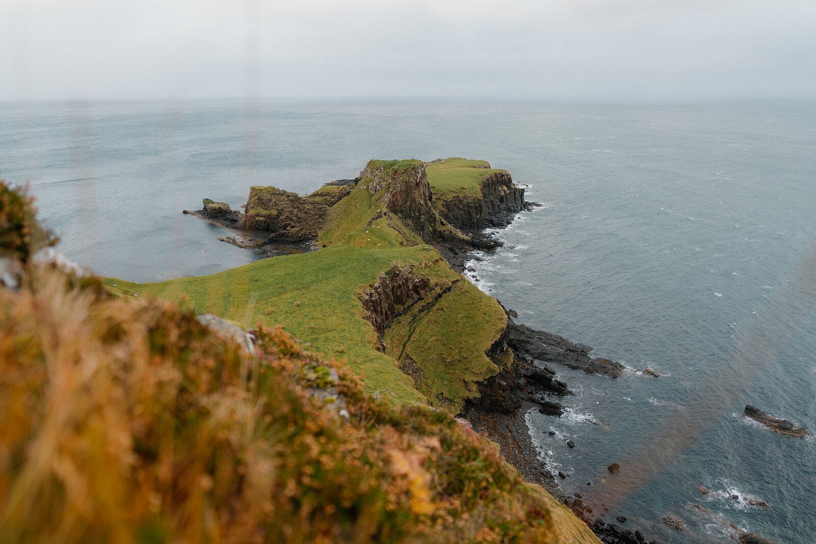
A grassy headland with a saddle-shaped ridge extends into the sea beneath overcast skies.
Did you know

Dinosaurs walked here.

About 170 million years ago this was a muddy, shallow lagoon, and dinosaurs left their footprints in it. Researchers have measured about 50 of them in the tidal rocks along this shore; with children, look by the burn at the foot of the path.

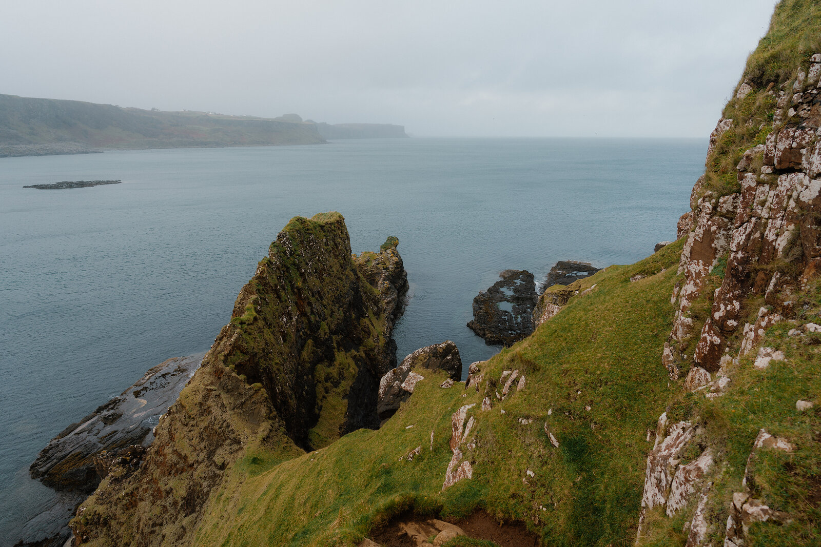
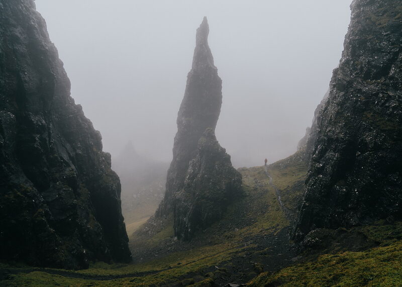
A jagged rock stack divides calm water beside a misty coastline.
Did you know

Two kinds of dinosaur, one lagoon.

The prints belong to long-necked sauropods, cousins of Brontosaurus, and to sharp-toothed theropods, older cousins of Tyrannosaurus rex, from a time when Scotland was much warmer.

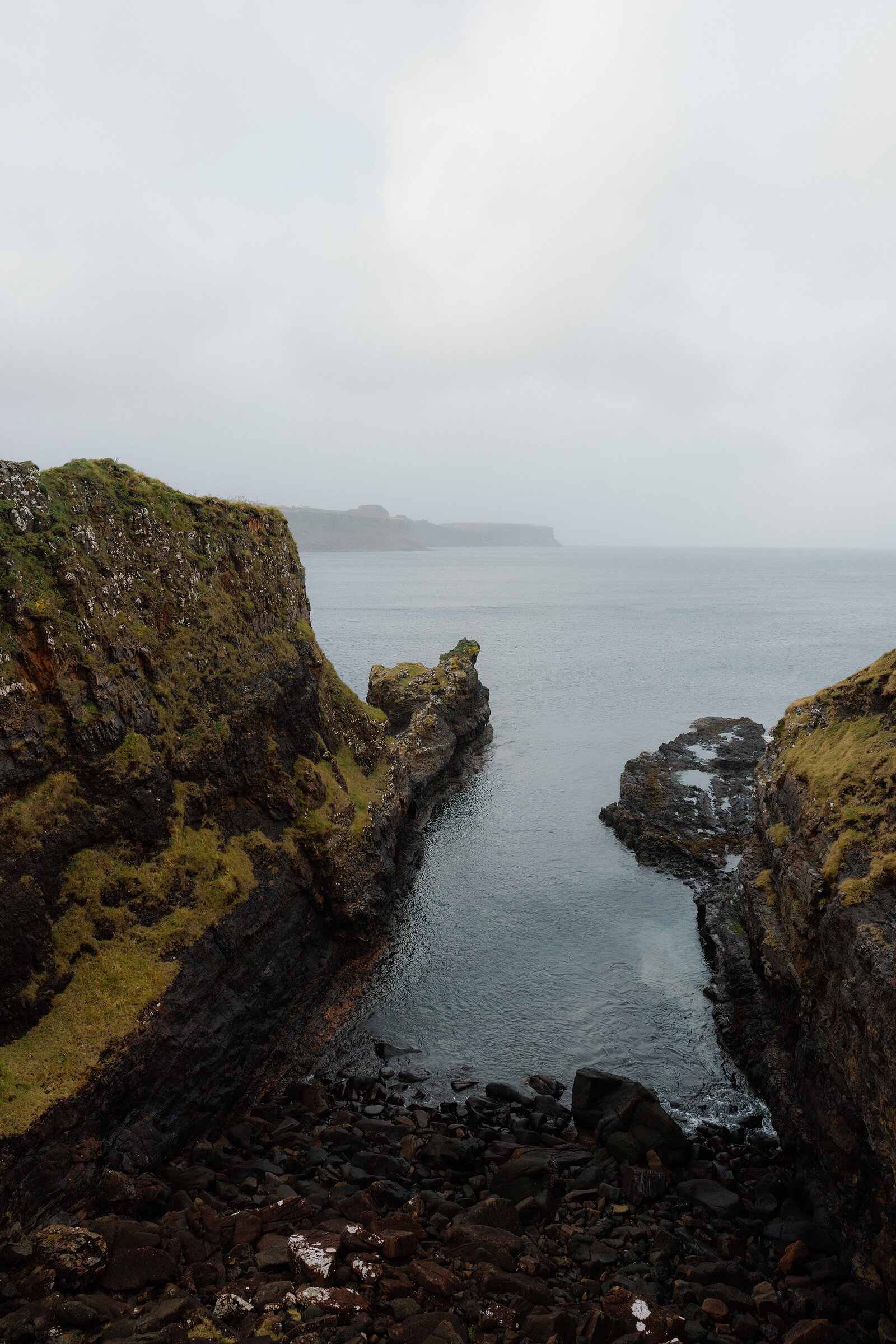
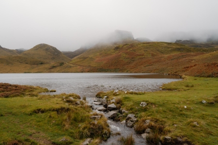
A narrow sea inlet cuts between mossy rock walls beneath a misty headland.
Did you know

Rare anywhere in the world.

Few fossil sites from the Middle Jurassic have been found anywhere, which makes these prints important far beyond Skye. The study came from the University of Edinburgh, Staffin Museum and the Chinese Academy of Sciences.

A misty headland rises beyond jagged rock stacks along the shoreline.
Did you know

Named for the brothers.

Rubha nam Brathairean means the point of the brothers. The name is thought to come from a community of monks who lived here, each in a cell of his own.

A jagged rock stack rises from the sea beside a mossy grassy cliff edge.
Did you know

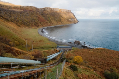
Salmon were netted here.

On the way round the shore you pass ruined buildings on either side. The one on the left was a salmon netting station.

Ben Lerwill

From our guide to Skye

If you’re looking for one of those iconic Skye views – a geologically spectacular green headland reaching out into the blue wilds of the sea – follow the track to this remarkable point, also known as Rubha nam Brathairean, on the Trotternish peninsula.

Read more
Ben Lerwill

From our guide to Skye

Skye’s been popular with visitors for ages – around 170 million years, in fact. Up on the Trotternish Peninsula, jutting into the sea is a nose of land known as Brothers' Point, or Rubha nam Brathairean, and it’s here that researchers have found dinosaur footprints dating back to the Middle Jurassic period. The headland’s ancient coastal mudflats hold evidence of around 50 different footprints, including those of a stegosaurus-type dinosaur and the three-toed imprints of meat-eating theropods. The whole landscape looked radically different back then, of course – there were far fewer cafes, for a start – but when people talk about Skye’s wildlife being something special, you can reflect on the fact that it’s always been this way.

Read more
A grassy headland with a saddle-shaped ridge extends into calm sea beneath a grey sky.
What is on

What is new across Skye, day by day.

New places, news and stories, as we find them.
What is on on Skye
01 / 08

Recommend to a friend

The Daily for 22 October, from Scotland with love. An aerial view of the Kylesku Bridge curving across a sea loch at sunset, Sutherland

The Daily

Arrives at 5am every day.

A free morning email to see what’s on this week, catch up on what’s happening in Scotland and find somewhere new to go.

Stay nearby

Places to stay near the point, and when each is next free.

Brothers' Point is stop 1 of 4 on a day we have planned, with the drives worked out.

  1. Brothers' PointYou are here01Brothers' Point5 min by road
  2. Kilt Rock02Kilt RockA short walk
  3. Staffin Dinosaur Museum03Staffin Dinosaur Museum5 min by road
  4. An Corran Beach04An Corran BeachThe end of the day
See the whole day
Hidden Scotland, the magazine

Scotland, in print.

We want to show you the best that Scotland has to offer. The makers and the creatives, the enduring experiences, the evocative tales, the concealed corners. The roads less travelled that take you to places that matter. The adventures that gather you up and sweep you away. The blend of the wild and the artistic that makes Scotland what it is. We’d love for you to join us.

Read on

What we have written about it, the collections it is in and more on Skye.

Find out more

For further reading, before you go. The details on this page were checked on .