
Isle of Skye
Rubha Hunish
Key Information
Distance 7.5km Ascent 315m Time 4 hours
Terrain Moorland, clifftops and rugged coastline. Clear paths, boggy in places
Map OS Explorer 408 or Harvey Superwalker Storr and Trotternish Access 57A bus from Portree, request stop at Shulista road end. Parking area just off the A855; take the minor road signed for Shulista by the phone box between Duntulm and Kilmaluag.
The Walk
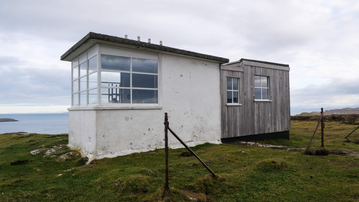
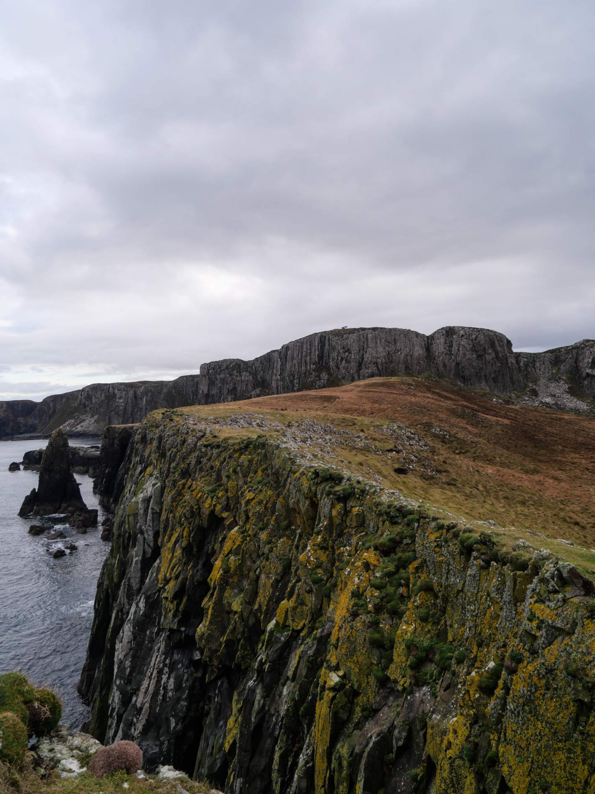
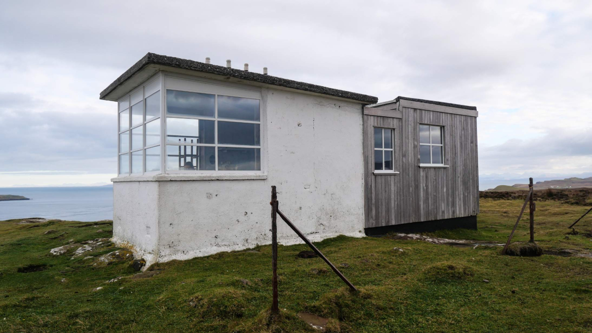
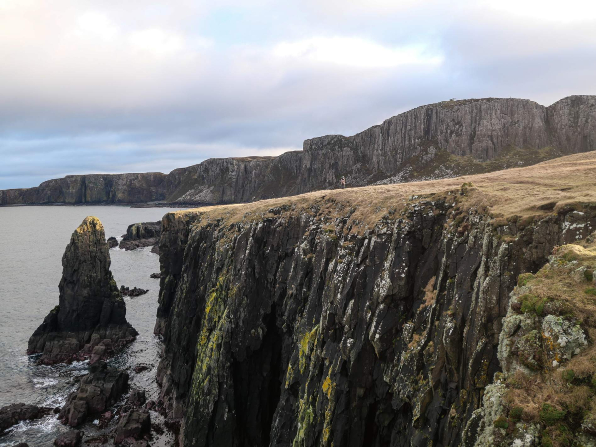
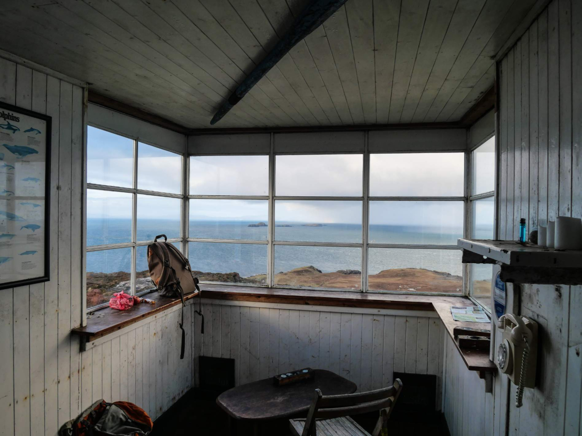
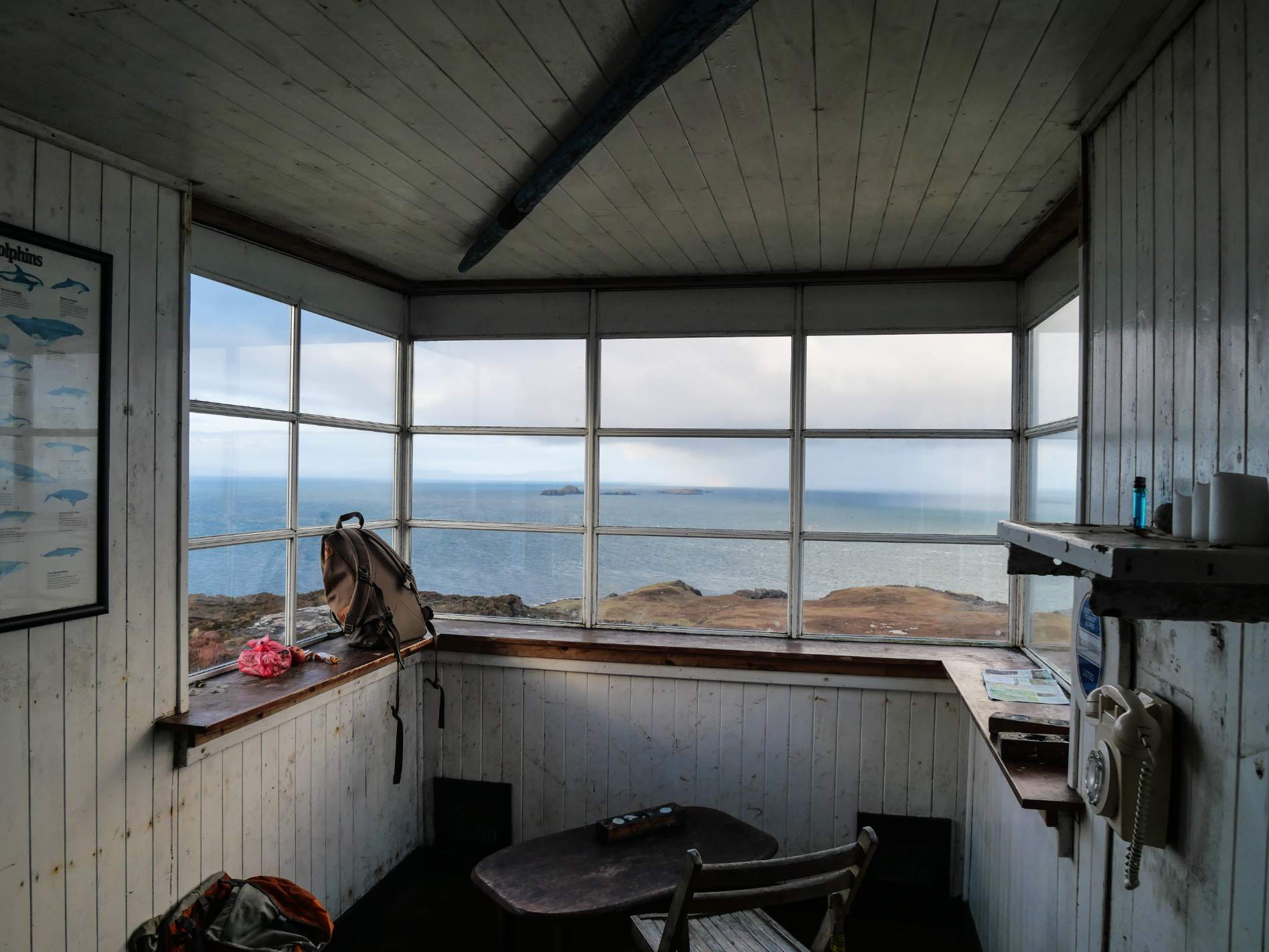
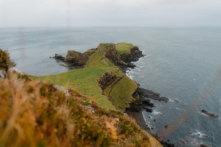
Rubha Hunish is the Isle of Skye's northernmost point, reaching out north-westwards towards the isles of Lewis and Harris. This rugged, low-lying headland is hidden away beneath a sheer wall of towering basalt cliffs rising to its landward side, revealing itself only once the overlooking highpoint of Meall Tuath is reached. Atop this same vantage point stands The Lookout, once a Coastguard watch station with commanding views over The Minch and now one the most remarkably situated of all the Mountain Bothy Association's bothies.
The walk out to The Lookout with its tremendous views makes for a great short excursion, but it is visiting Rubha Hunish itself that really makes this a walk to remember. However, the descent from the clifftops requires some scrambling down a steeply-pitched rocky staircase with some exposure. Happily this is nowhere as difficult as it looks from above, nonetheless it is not a descent for the elderly, the very young or the vertiginous. It should also be avoided in wet or icy conditions. The ascent is easier. Sheep and cattle are grazed in the environs so dogs should remain leashed at all times.
The Route
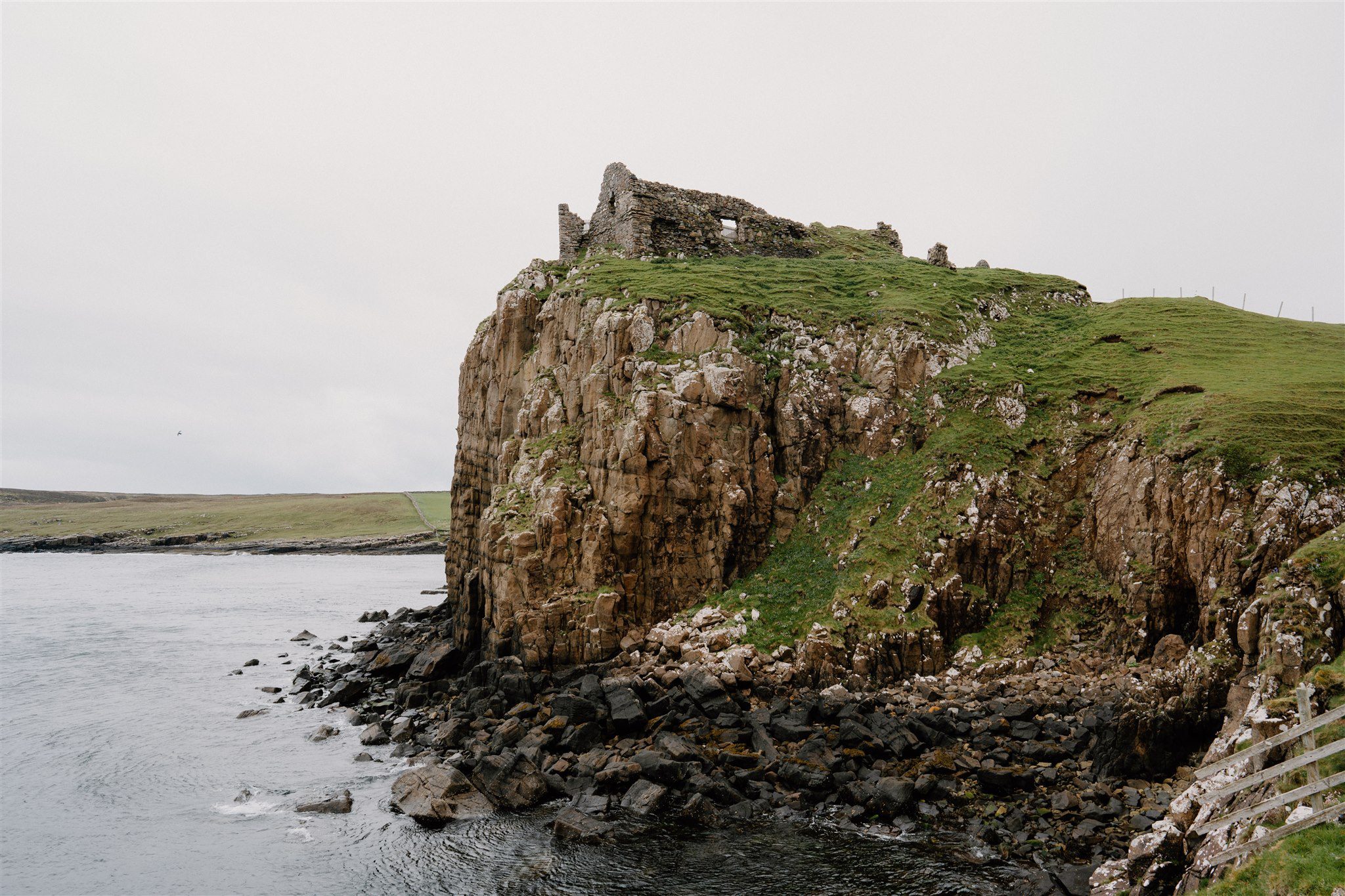
1. From the parking area continue over the cattle grid then immediately turn left on the path signposted for Rubha Hunish 2.5km. The distinct and well-trodden path is metalled with stone slabs in places and is also waymarked with occasional white topped posts. Pass a sheep fank and follow the path along the edge of a low, heather-clad escarpment, bearing north-northwest. The path continues along the escarpment, soon crossing a high point overlooking the abandoned village of Erisco below to the left with the prominent ruins of Duntulm Castle atop the rugged promontory of Ru Meanish in Tulm Bay. Go through a metal kissing gate in a stock fence, bear right then after 400 metres go through another metal kissing gate as the path heads into a narrow valley leading towards the gap between the twin high points of Meall Deas and Meall Tuath. Stay with the main path for another 450 metres then turn right on a rough path leading up towards the top of Meall Tuath.
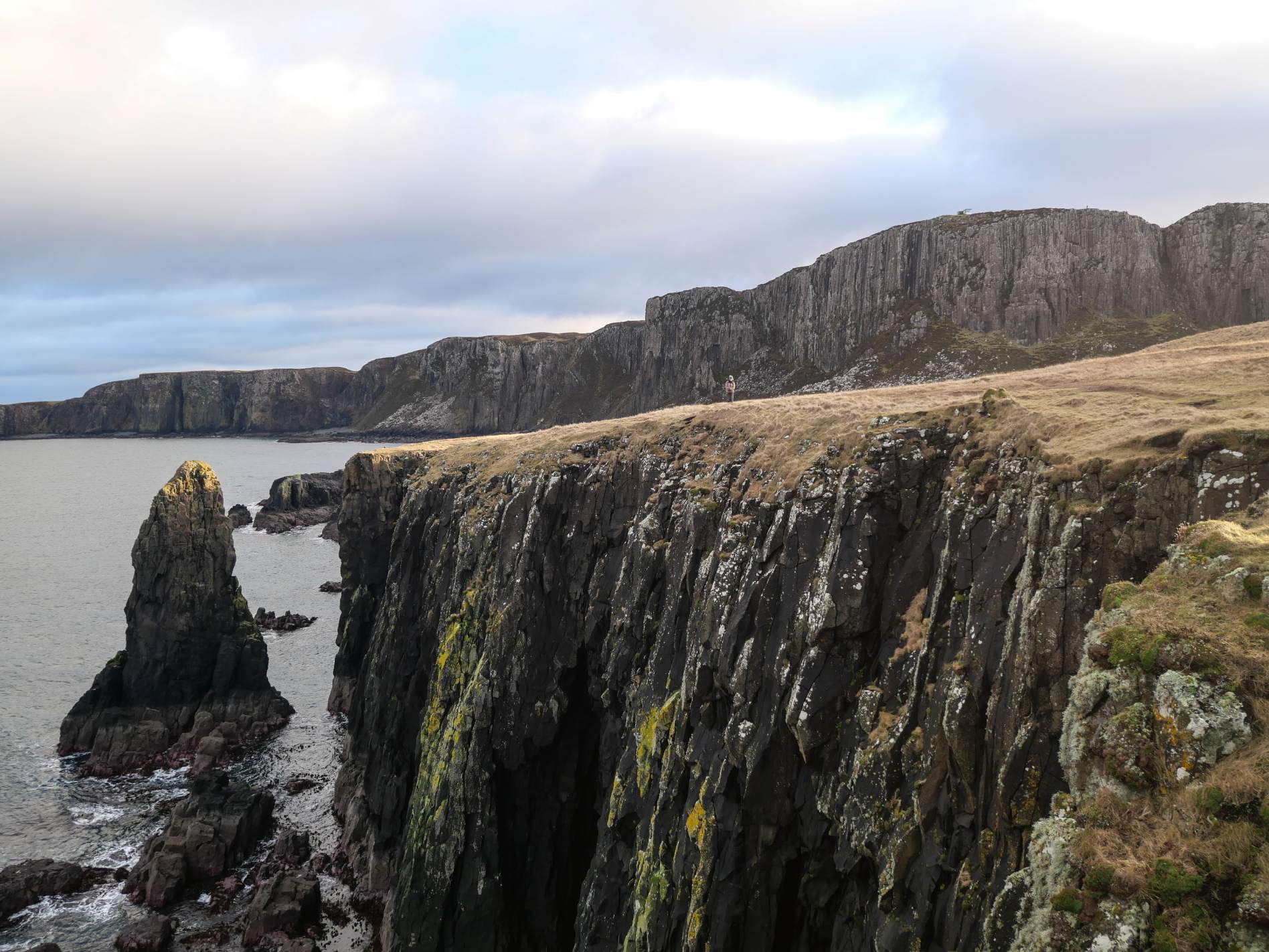
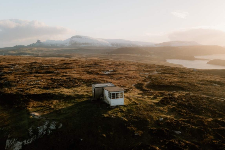
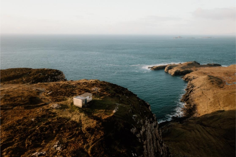
2. The roof of The Lookout bothy soon comes into view; pass the fenced-off head of a sheer sided gully in the cliffs, which affords splendid views over the Rubha Hunish headland below. Pass to the rear of a bench on the clifftop on your way to the bothy, which is perched atop the summit of Meall Tuath (116m). The Lookout's location is spectacular, sitting just a short way back from sheer cliffs that drop 100m straight down to the headland below. The views of Rubha Hunish from here are even better with the prominent sea stack at the edge of Port Lag a’ Bhleodhainn being the most obvious feature. The eye is also drawn to the parallel corrugations of feannagan or 'lazy beds' of the runrig system, once cultivated here by the crofters of Erisco.
The front portion of The Lookout – the watch room – was built in 1928, its large bay window looking out over the Little Minch shipping channel. The hut was once manned around the clock, but advances in radio communication eventually made the watch station redundant. The Lookout has been used as a bothy since the mid-70s; when the windows were blown out in a storm in 2005 the MBA stepped in to renovate the building and it has been maintained by volunteers ever since. The bothy sleeps three people on a sleeping platform and bunk-bed arrangement – it has no stove or hearth and there is no nearby water supply. Always follow the bothy code when visiting.
3. From the bothy pass in front of the bench and follow paths through the heather near the cliff edges – with care – for more tremendous views. Continue down into the gap between Meall Tuath and Meall Deas on an often wet, rocky path. Cross the fence straight ahead on a step stile; if you are not going to descend to the headland then cross the second stile to continue up to the top of Meall Deas and follow the route description from the start of the penultimate paragraph. Otherwise, bear right through a gateway then go through a metal stock gate near the cliff edge.
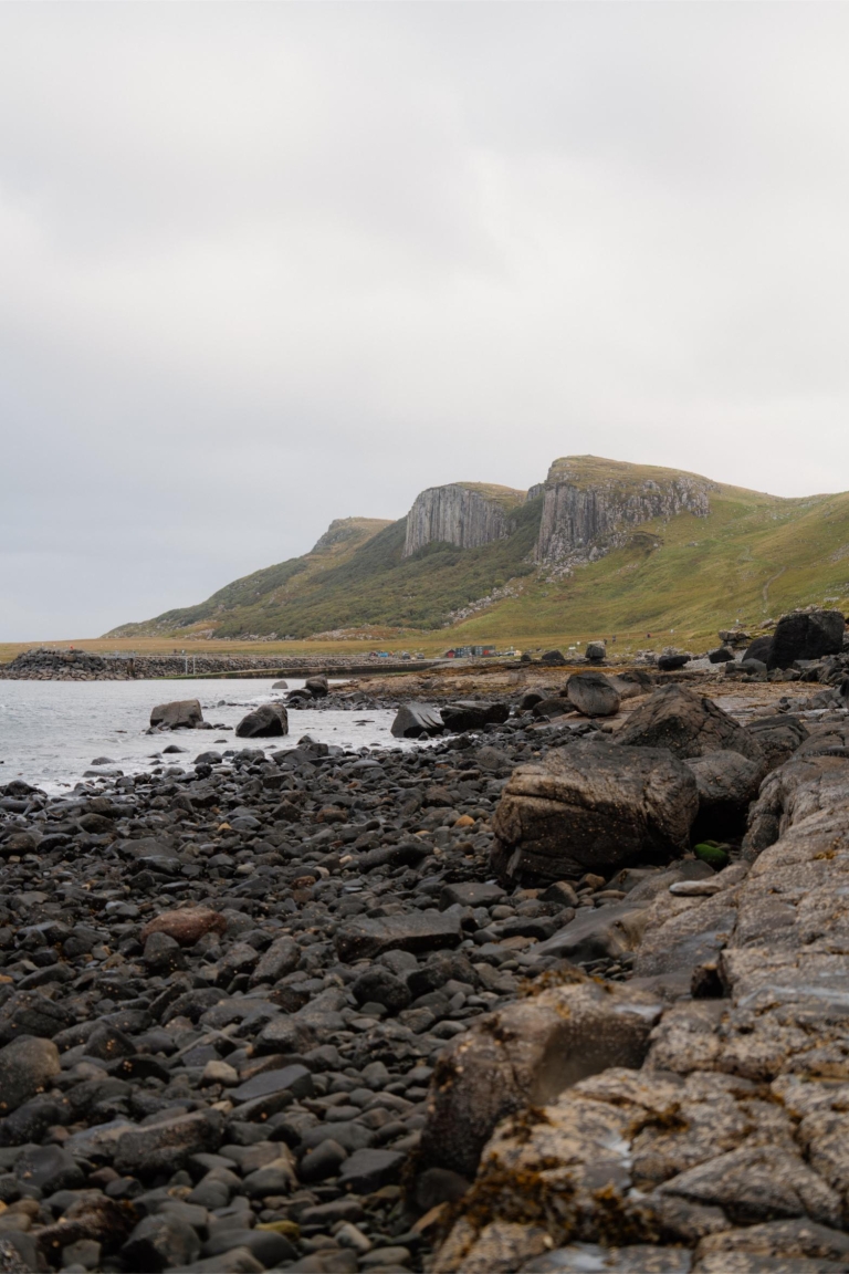
4. The steep rocky descent to Rubha Hunish starts here. The first section resembles a rocky staircase and presents a fairly challenging prospect from above, although it's much less alarming once you're actually on it. Keep three-point contact as you scramble carefully down; the route soon turns to the right then care is needed as you seek footholds down off the rocks onto the clear path running beneath the cliffs. The path delivers you to the foot of the cliffs, which is littered with broken basalt columns.
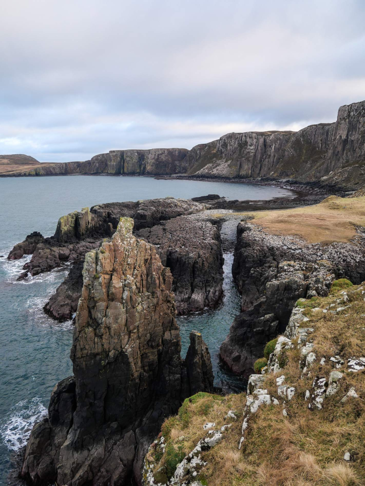
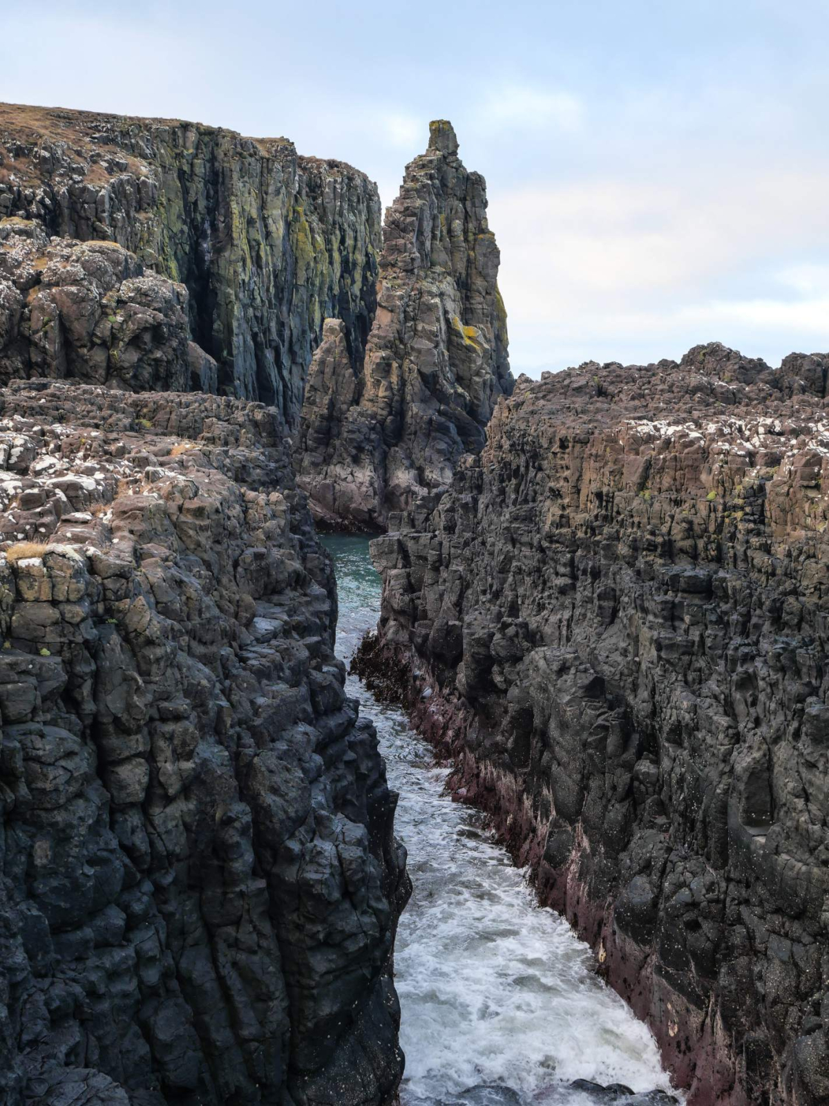
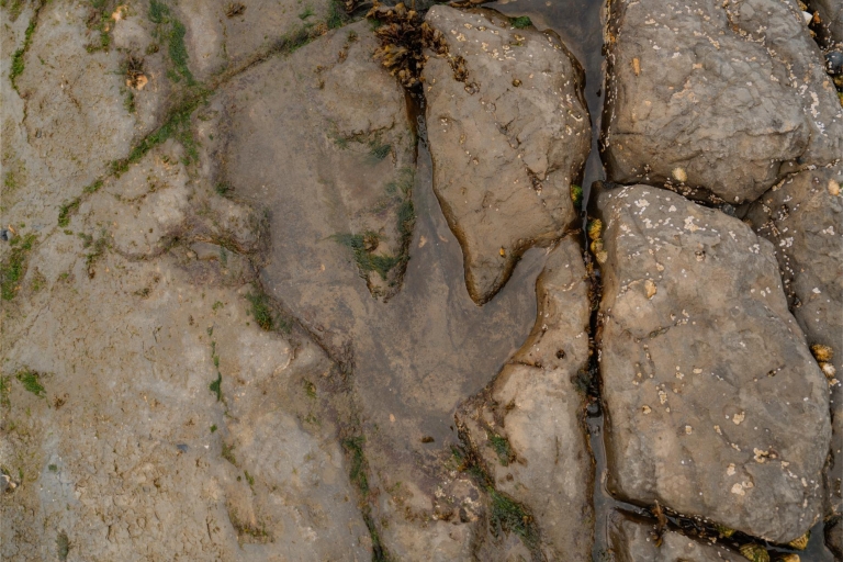
5. Cross the neck of the grassy headland making for the east coast. The rocky shore platform at the northern end of the shingle beach here features a spectacular igneous dike a fine geo (or narrow rocky inlet) and a pair of impressive sea stacks. Continue above the cliffs following the coastline north-westwards to benefit from further fine views. The cliffs are home to innumerable seabirds and in the summer months the tip of the headland is a great place for spotting dolphins, porpoise and whales. It's worth circumambulating the entire headland before heading back up the path and rocky scramble to the cliff tops. Go back through the gate, cross the stile on the left and bear right to continue through the gap to rejoin the outward path and return to the start.
Location
What's nearby
-medium-large-1736459220.jpg)
-medium-large-1772030098.jpg)
Where to stay nearby






 Sign in with Google
 Sign in with Email