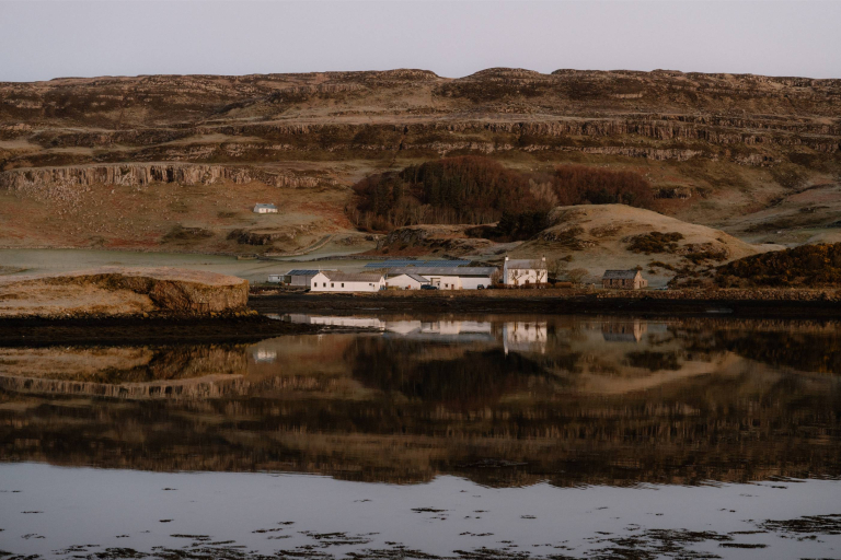
Isle of Canna
King of Norway’s Grave

Overview
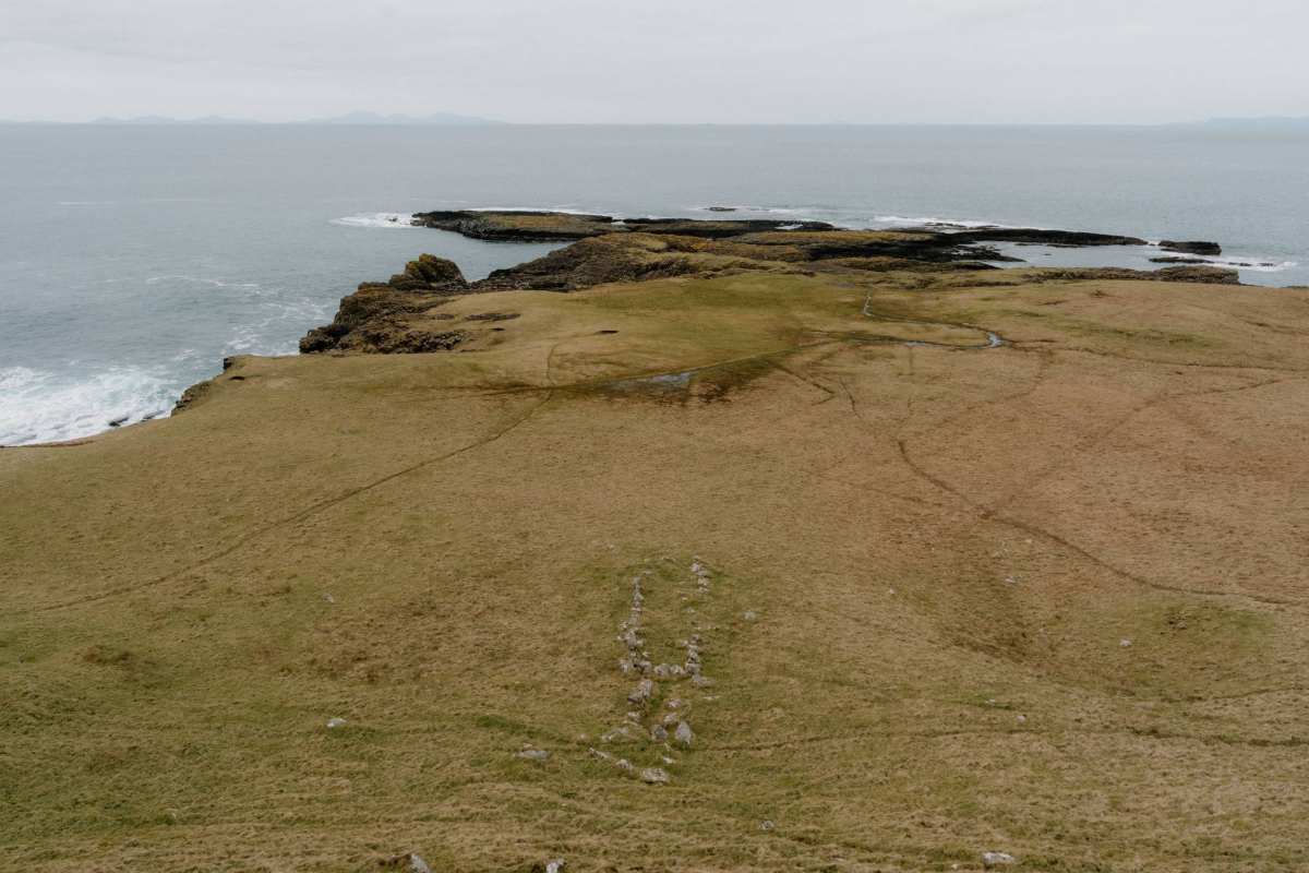
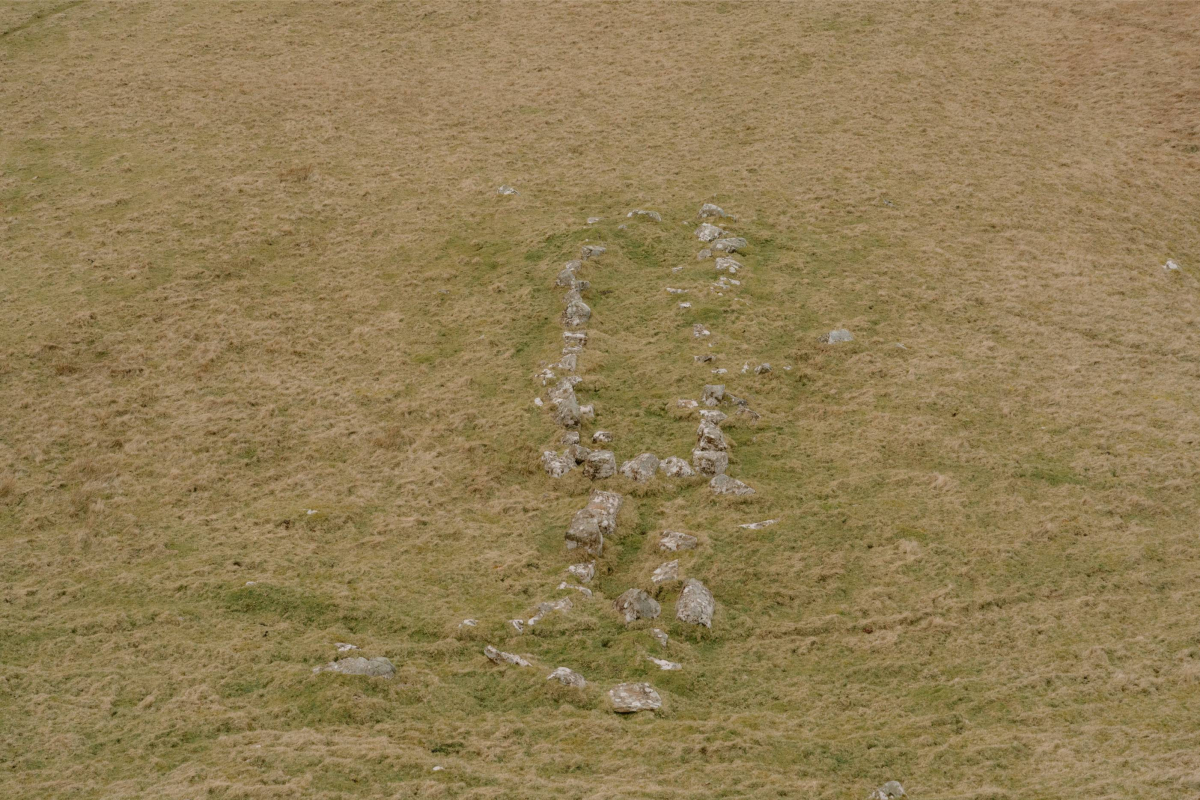
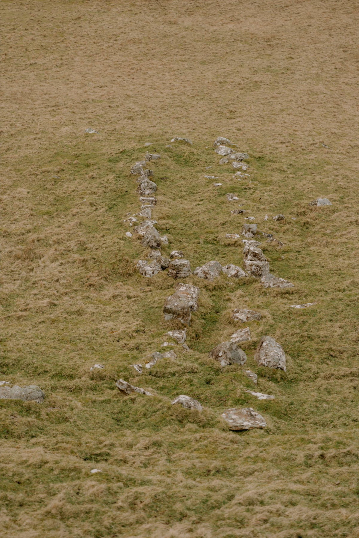
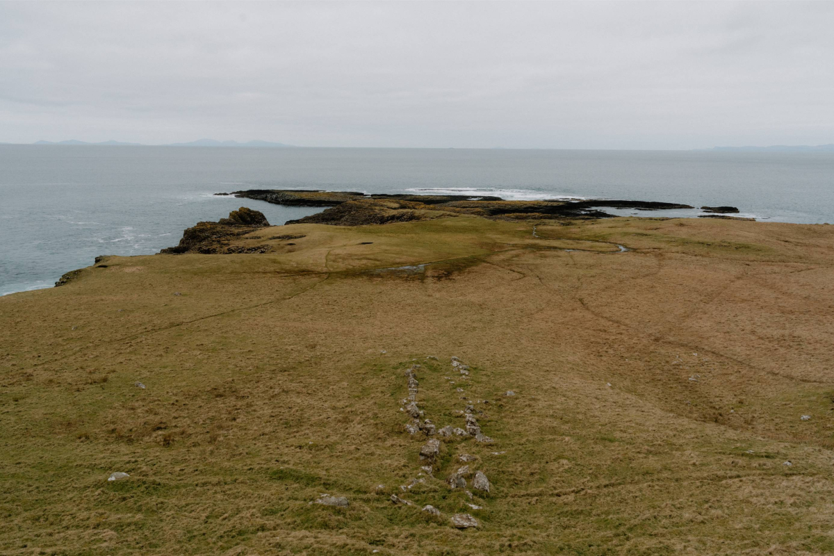
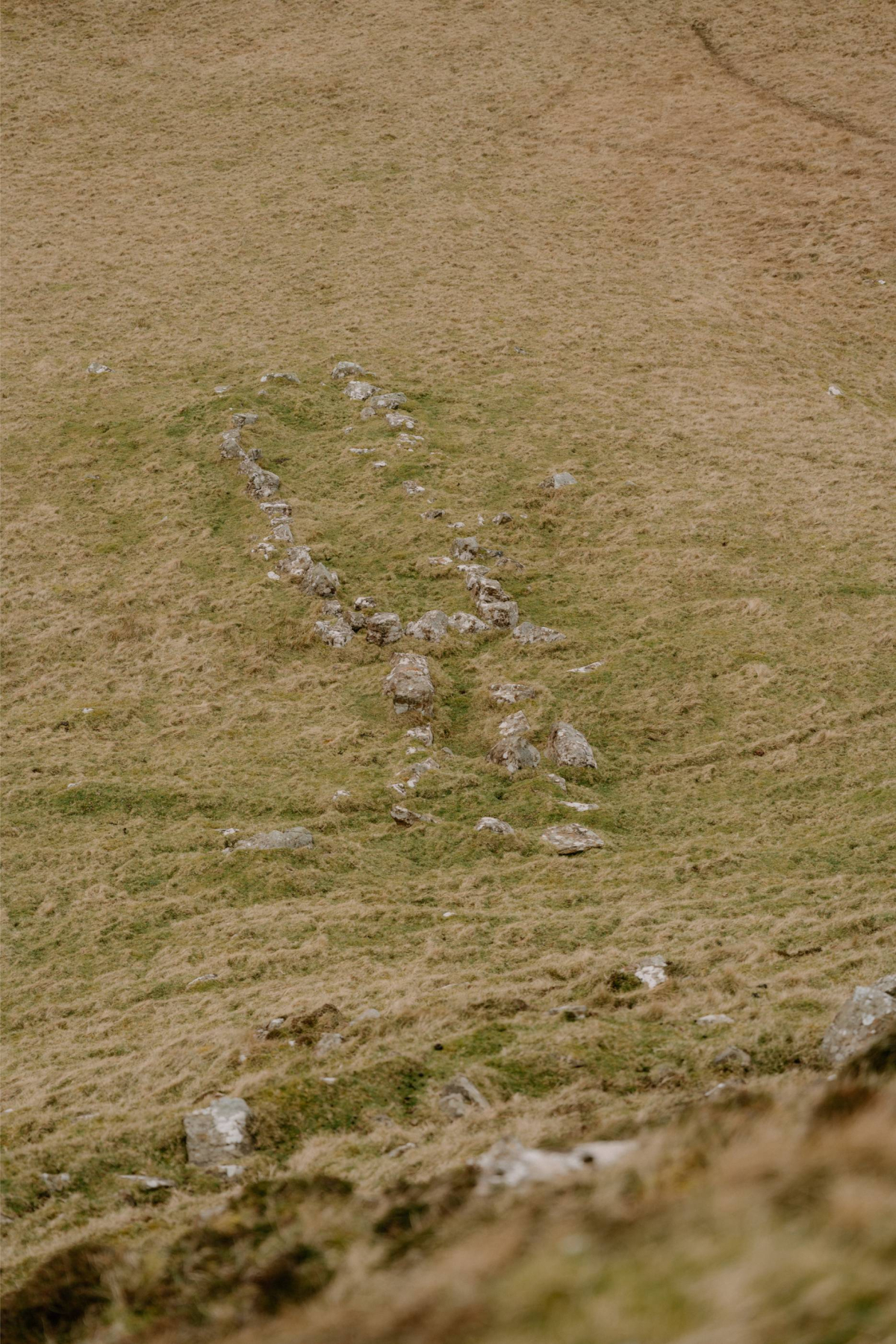
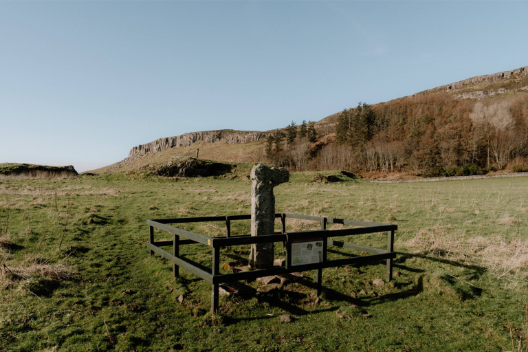
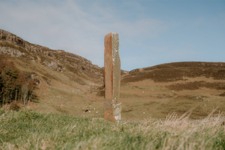
Evidence of this mysterious rectangular enclosure appears across Canna’s northern promontory at Rubha Langanes. The stone setting, measuring roughly 11 by 2.2 meters, follows patterns seen in ship-burial kerbs on nearby islands. Though local tradition links it to a Viking king—hence its name—modern interpretation favours communal or ritual use tied to early Norse settlers.
No human remains have been uncovered here under recent surveys, and standard archaeological excavation has yet to take place. The location and kerb design closely match other early medieval structures found across the Hebrides, while its proximity to the high cliffs and sea may suggest ritual or memorial significance.
In Gaelic, the site is known as Uaigh Rìgh Lochlainn, literally “The Grave of the King of the Norse.” Place-name records indicate this identification dates back several centuries and is preserved in local oral traditions. No metalwork or dateable artefacts have been recovered to confirm its origin definitively.
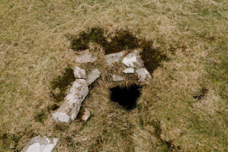
Though unexcavated, the structure offers insight into Canna’s role within the Norse-dominated Kingdom of the Isles from the 9th to 13th centuries. It sits alongside nearby souterrains—subterranean structures likely pre-dating Norse arrival—forming part of a layered archaeological landscape.

Location
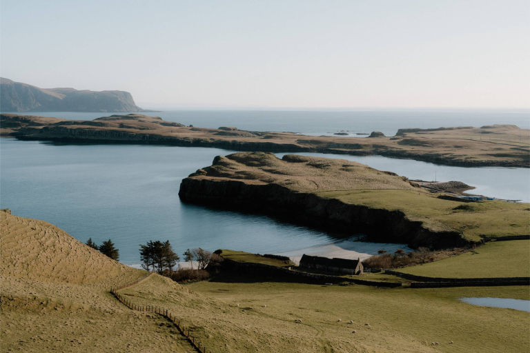
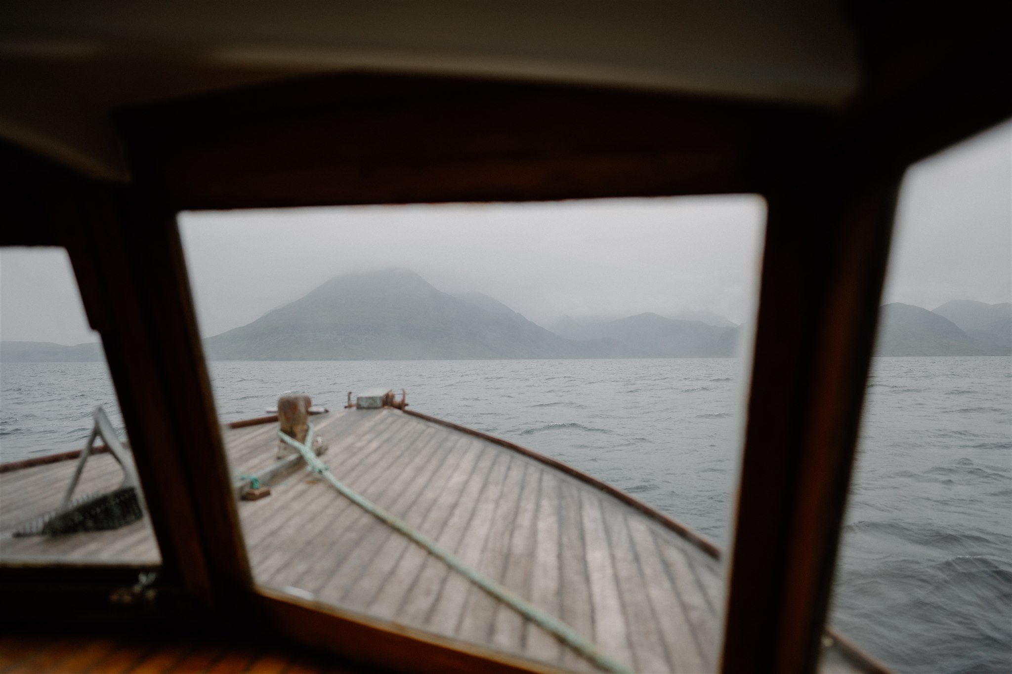
Uaigh Rìgh Lochlainn is found on Rubha Langanes, Canna’s northernmost headland, about a 30-minute walk from the ferry landing. Follow the cliff-edge track past souterrains before descending to the grassy kerb field. There are no signs or barriers—terrain is rough and steady footing is required.
What's nearby
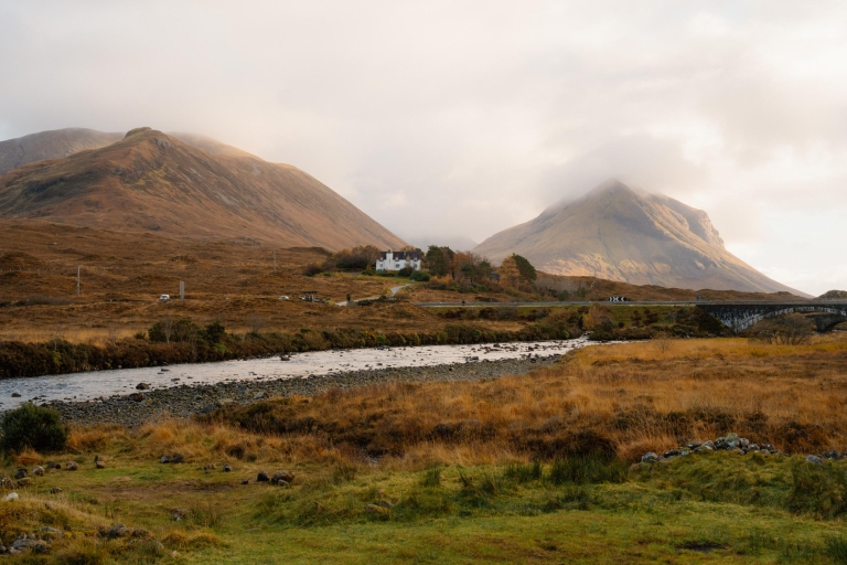
Souterrains and early field systems lie just inland. Further along the coast are sea cliffs used by seabirds and, on a clear day, distant views to Rum and the Atlantic. To the south, paths reconnect with the harbour area and central facilities—but history here feels distinctively ancient and solitary.

-medium-large-1736289990.jpg)
-medium-large-1717098620.jpg)

-medium-large-1717098768.jpg)
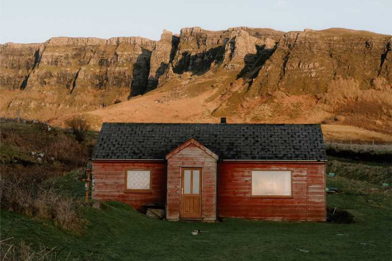
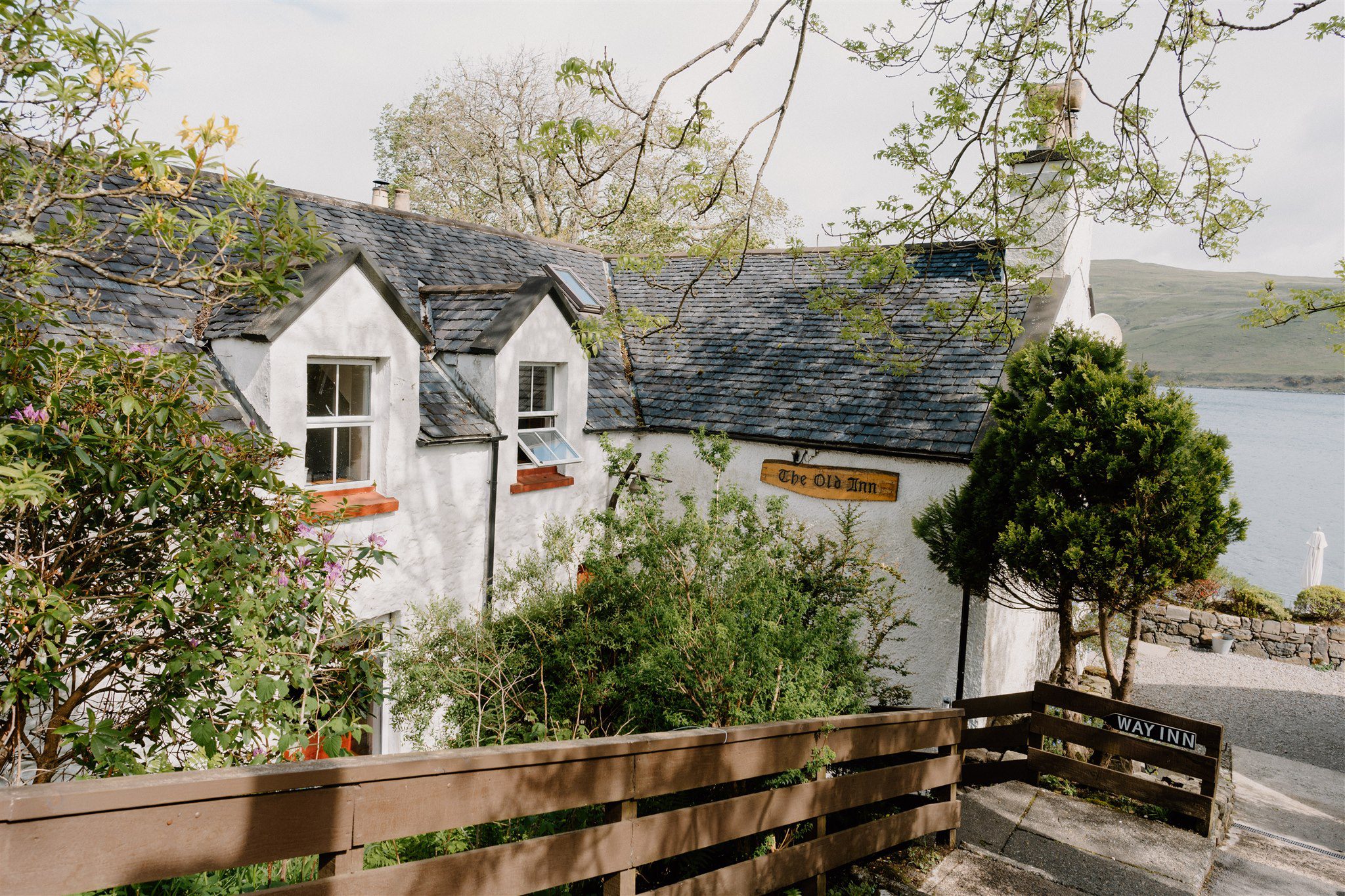
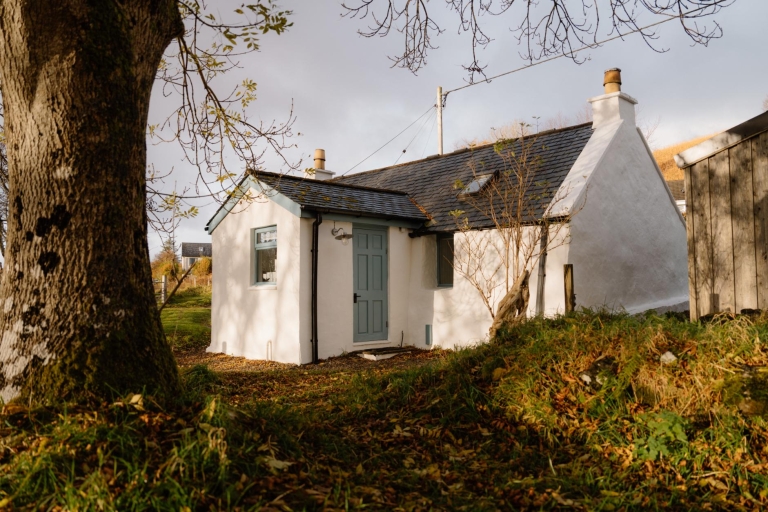
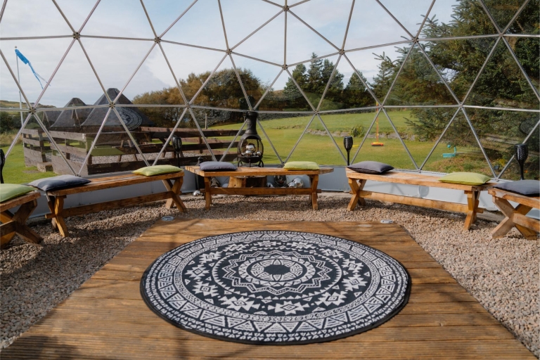
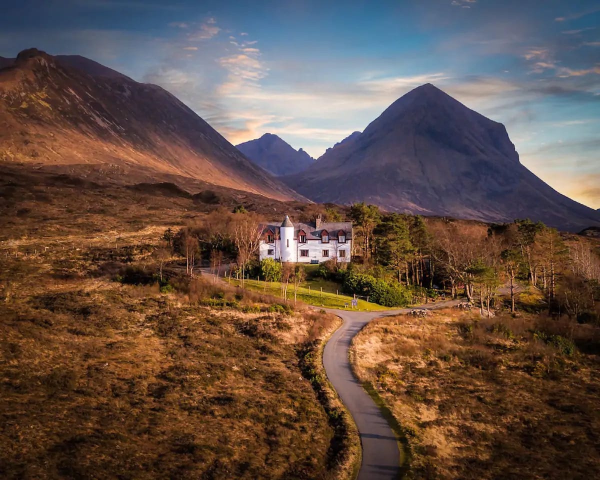
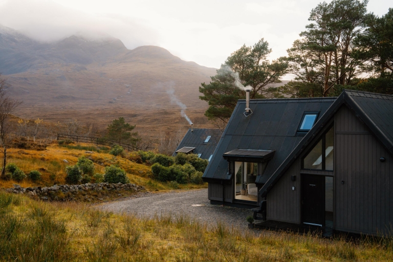
Where to stay nearby
 Sign in with Google
 Sign in with Email