Small Isles, Isle of Canna
Compass Hill

Overview
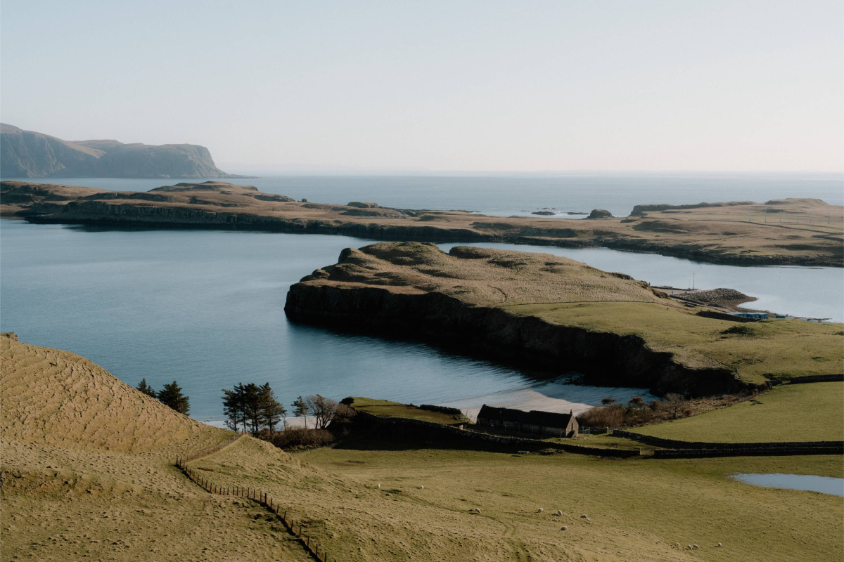
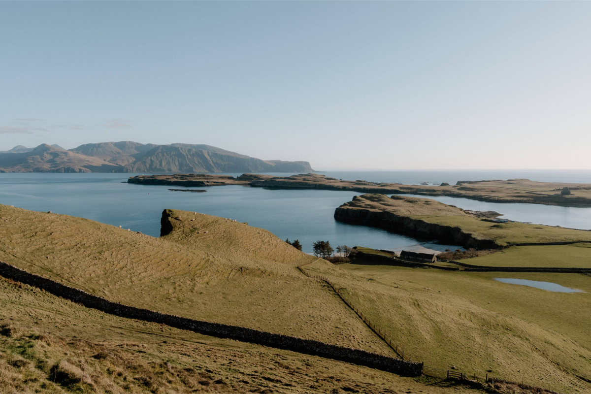
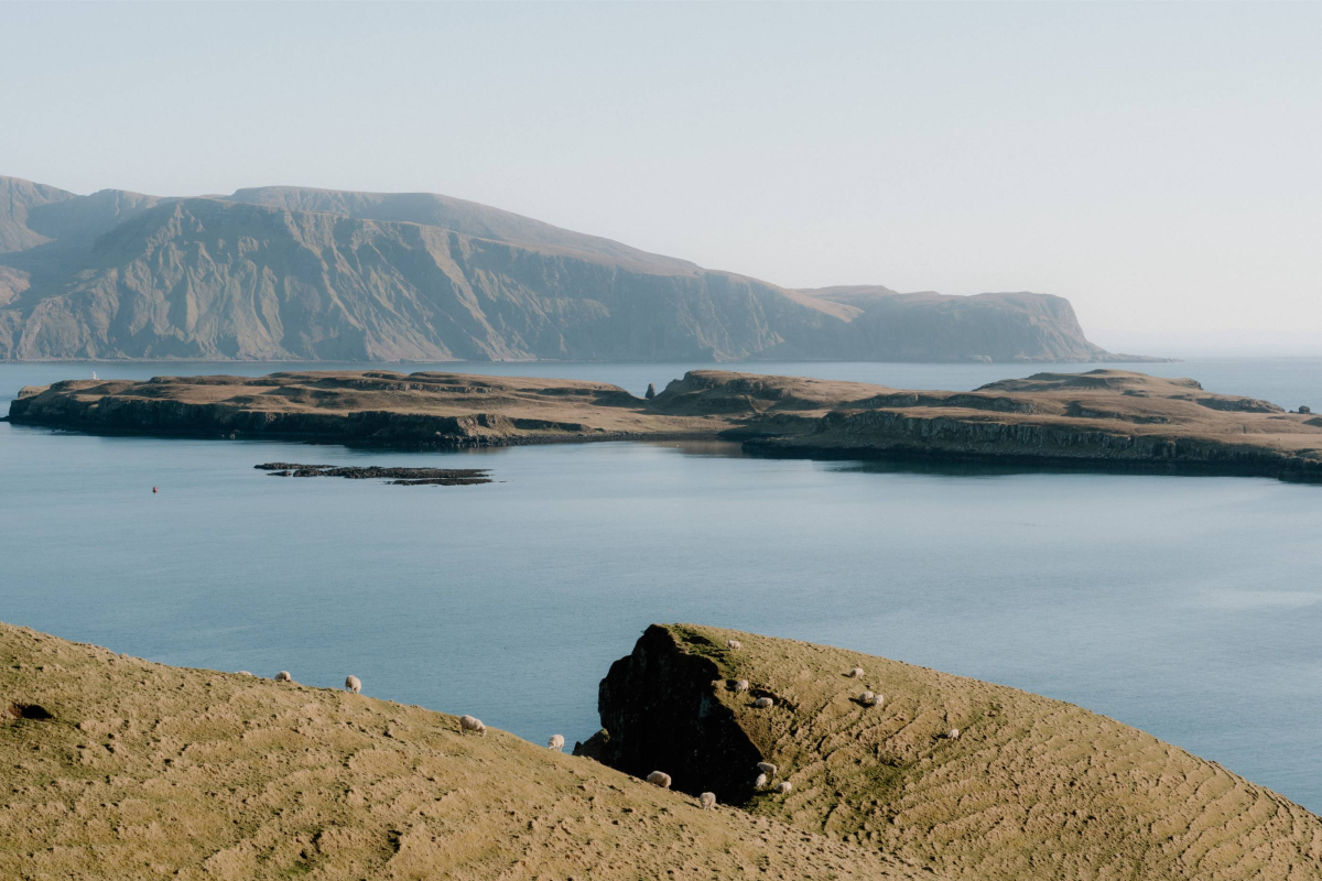
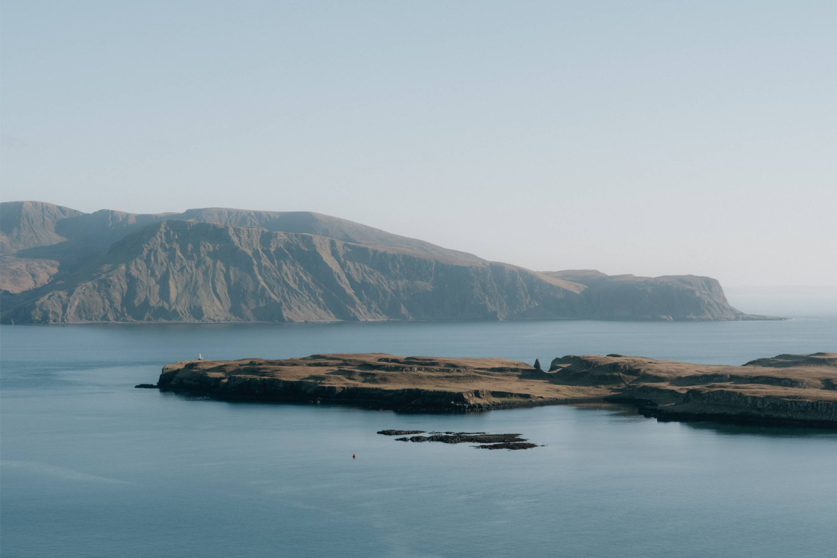
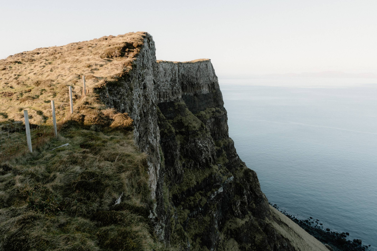
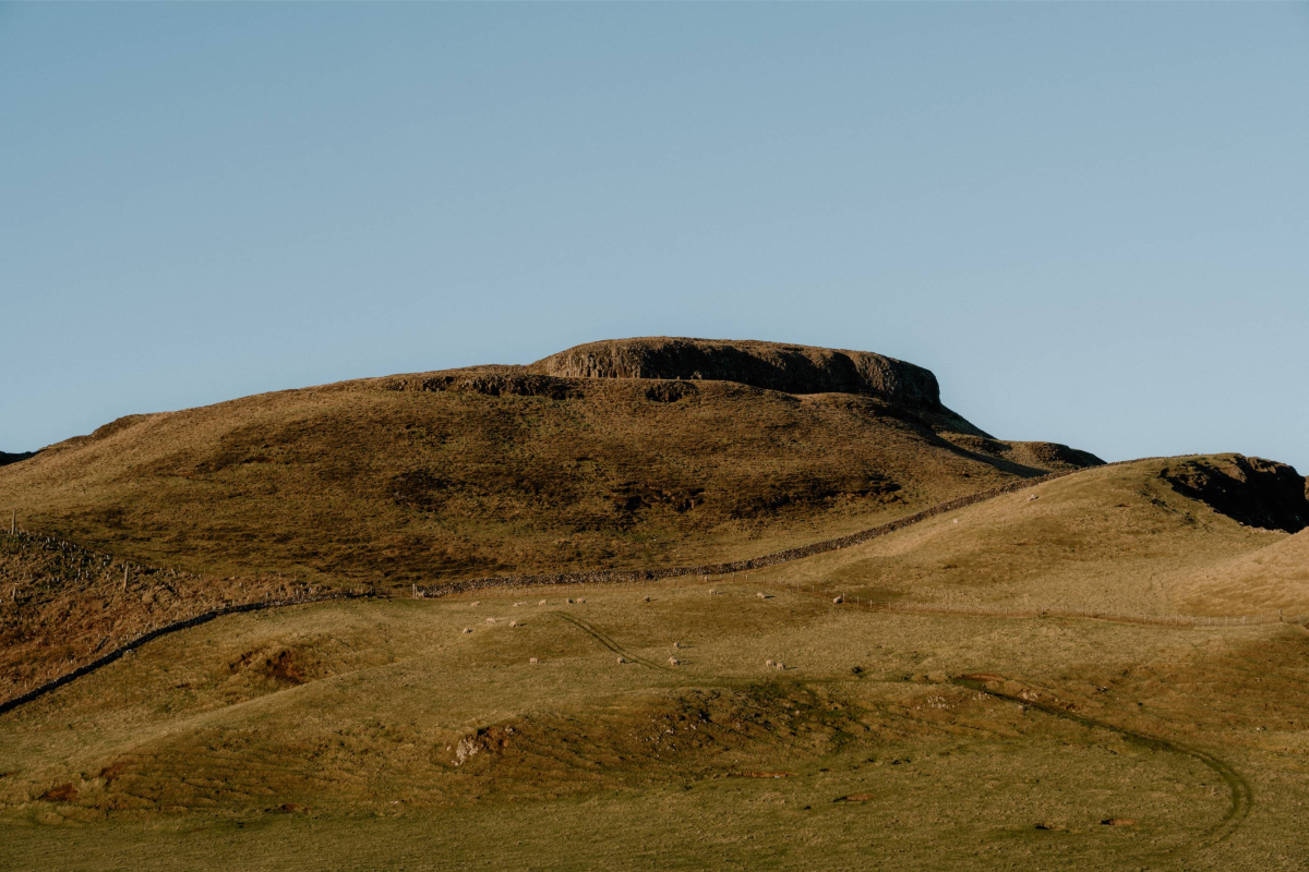
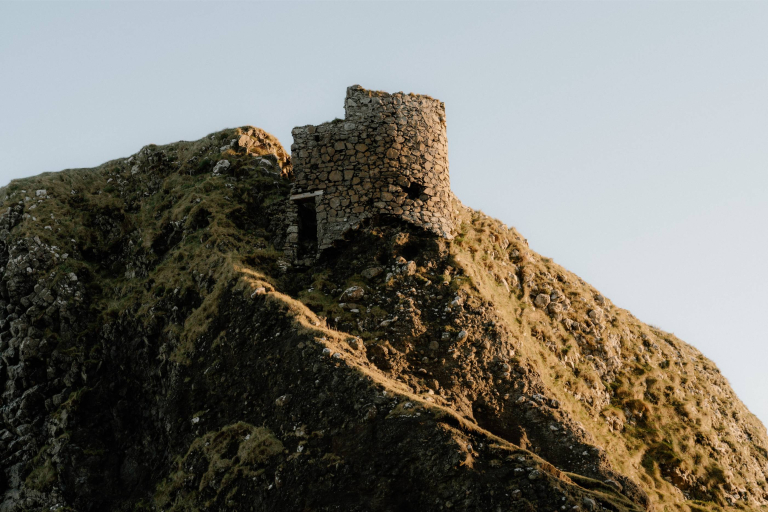
Compass Hill is one of the most distinctive features on Canna’s eastern side, rising sharply behind the harbour and forming part of the island’s natural boundary with the sea. Its Gaelic name, Càrn a’ Chòmhdhail, reflects its prominence in local memory, but the English name has stuck due to an unusual magnetic quirk—compasses brought to the summit tend to give false readings.
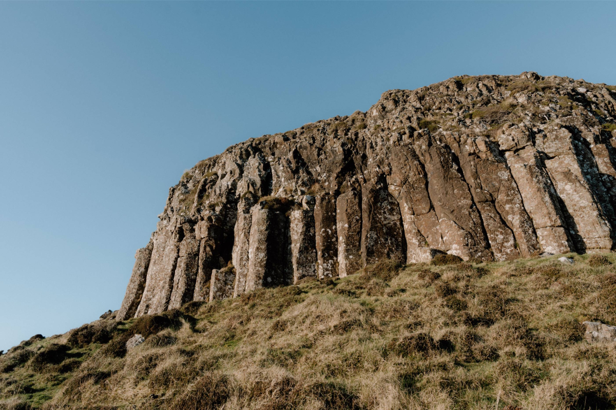
Geologists attribute the anomaly to iron-rich basalt within the hill’s structure, though it was once the subject of folk speculation and seafaring lore. In the days before satellite navigation, sailors gave the hill a wide berth. Today it remains more of a local curiosity than a hazard, but the effect is still detectable with a simple compass.
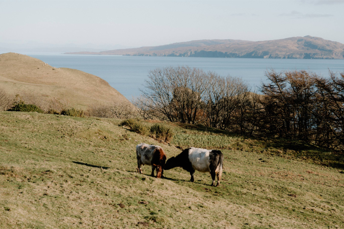
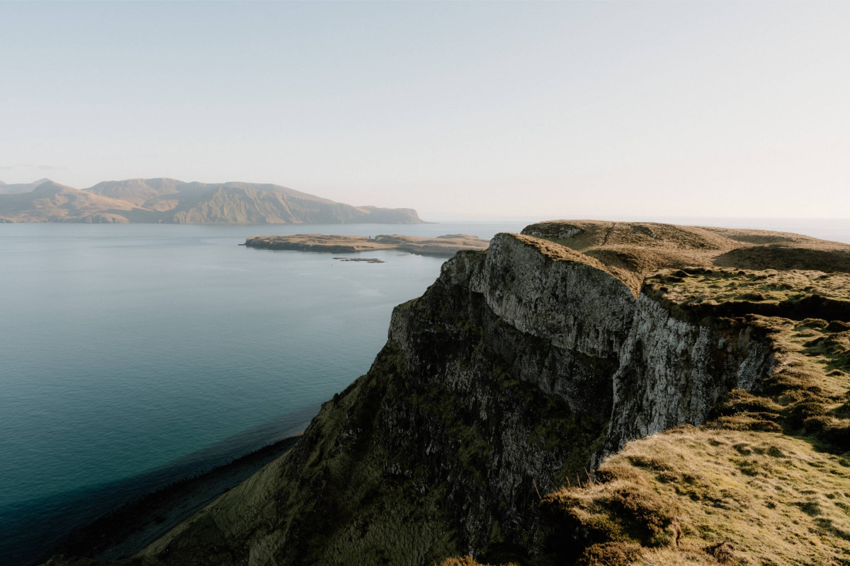
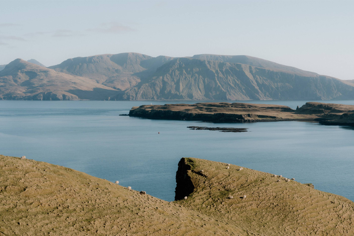
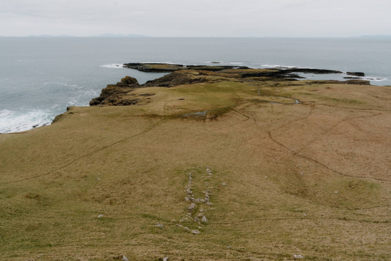
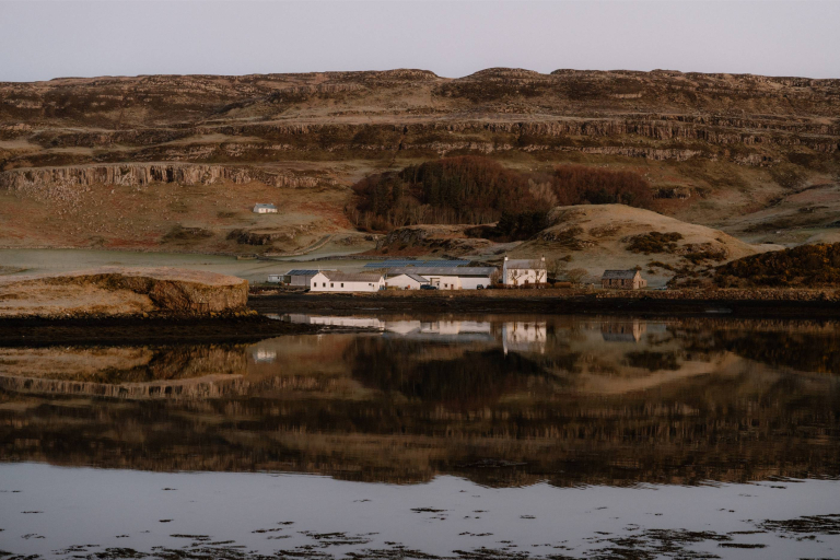
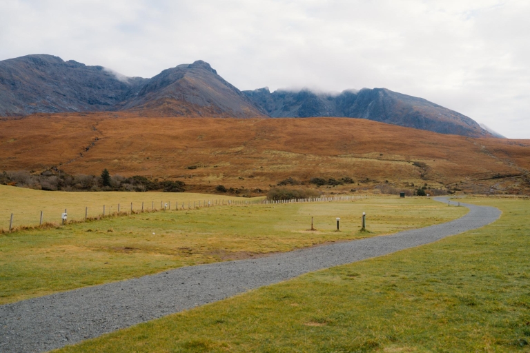
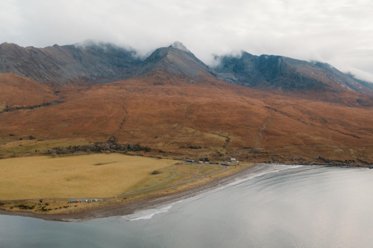
The walk up is steep in parts, but short, and well within the reach of most visitors. The hillside is largely grassy, with patches of exposed rock and occasional grazing sheep. From the top, views sweep across the harbour, Canna House, and the bridge to Sanday. On a clear day, the Cuillins of Rum are visible to the east, while the full curve of Canna’s shoreline can be traced from above.
There are no signs or waymarkers, and the hill is unfenced. The route begins close to the community shop and post office, heading west and then turning uphill. Sturdy shoes are recommended, especially after rain. The summit area is broad and gently sloping, suitable for a quiet sit-down or a picnic with a view.
Compass Hill is not the island’s highest point, but it offers some of its best-known views. Its magnetic pull may be subtle, but the setting leaves a strong impression.

Location
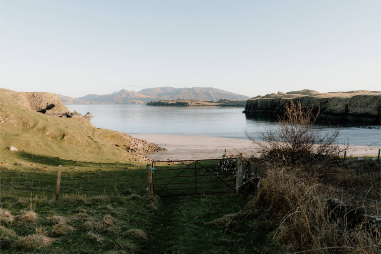
Compass Hill rises behind the eastern harbour, just west of the main cluster of community buildings. The base can be reached in under ten minutes from the ferry pier. There’s no marked trail, but a worn path through the grass leads gradually up from near the shop and post office.
What's nearby
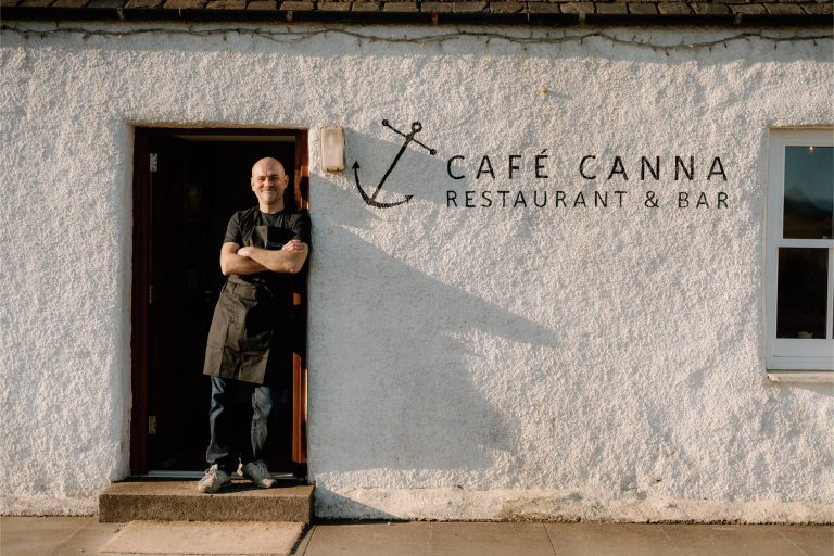
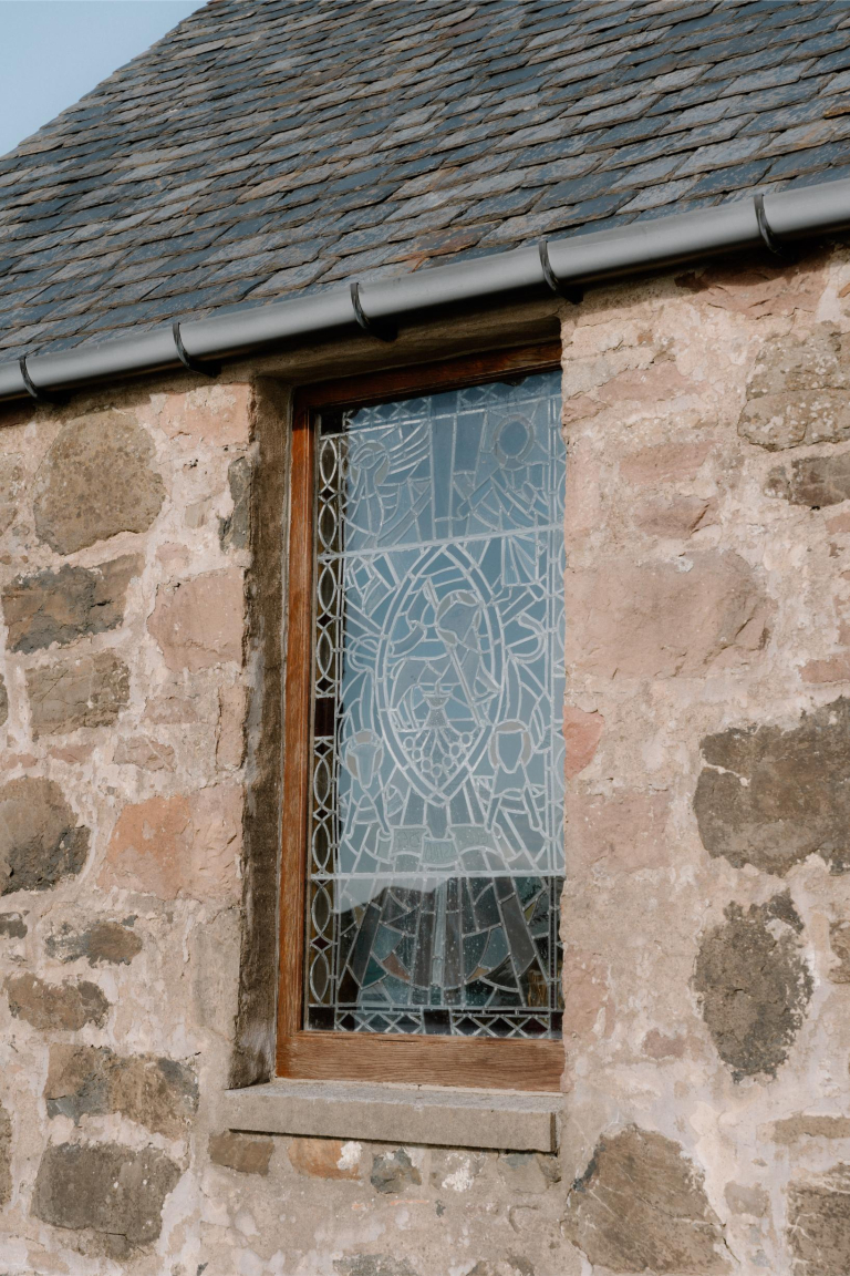
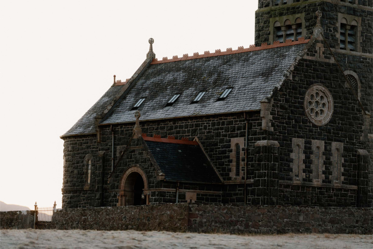
From the hilltop, it’s easy to trace the layout of the island. Café Canna, the community shop, and Rhu Church are all close by, with the bridge to Sanday visible just below. Downhill paths reconnect with the main road, leading west towards Canna House and the early Christian site at A’Chill.
-medium-large-1736289990.jpg)
-medium-large-1717098620.jpg)

-medium-large-1717098768.jpg)
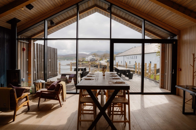
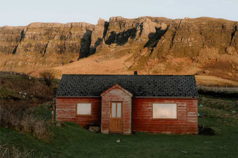
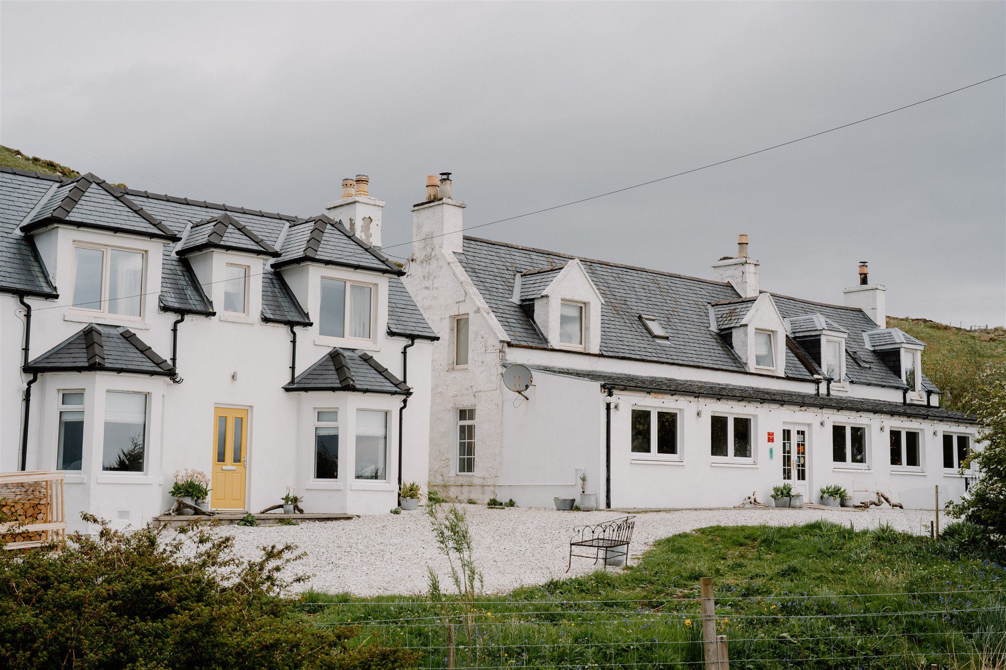
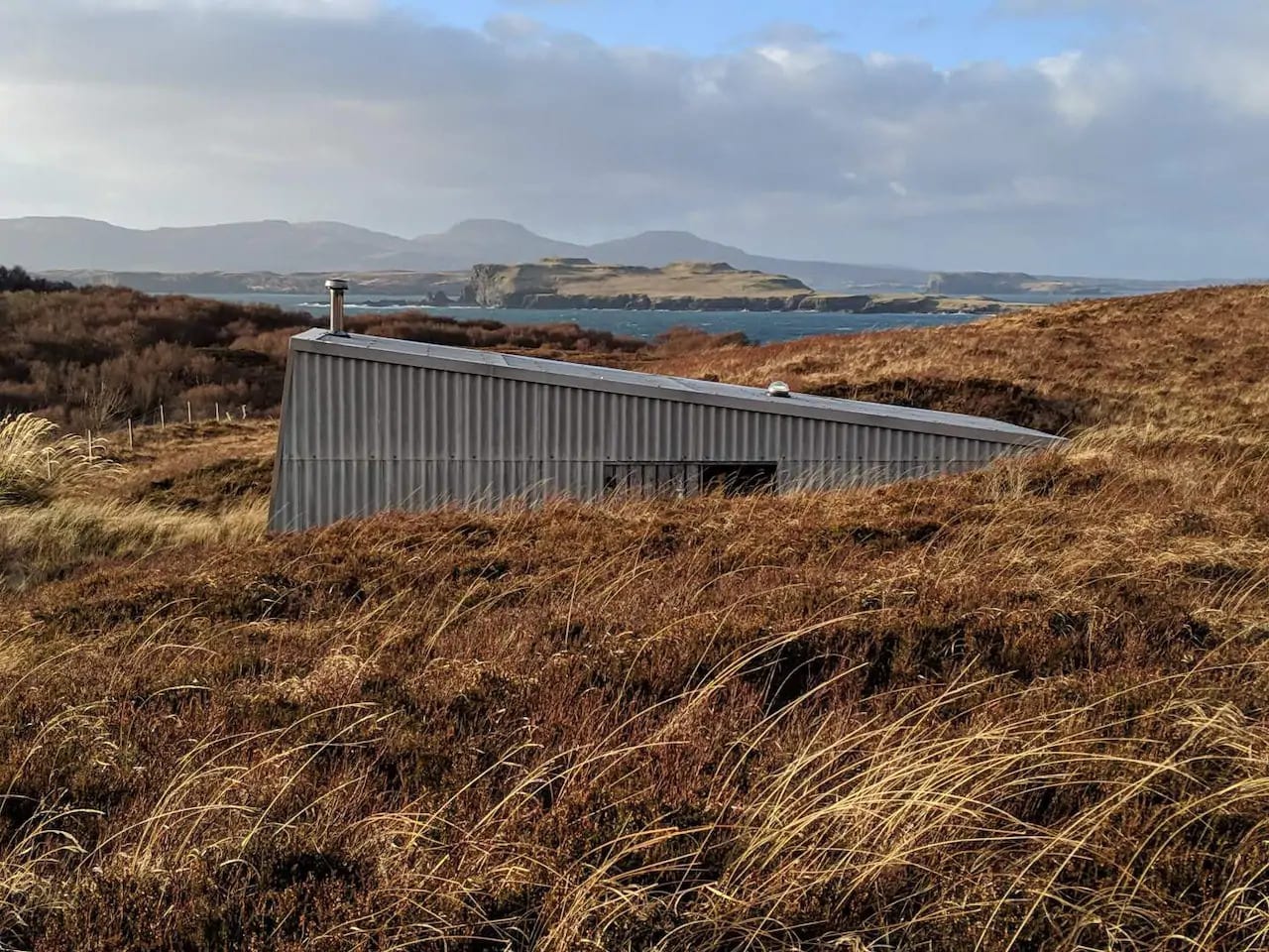
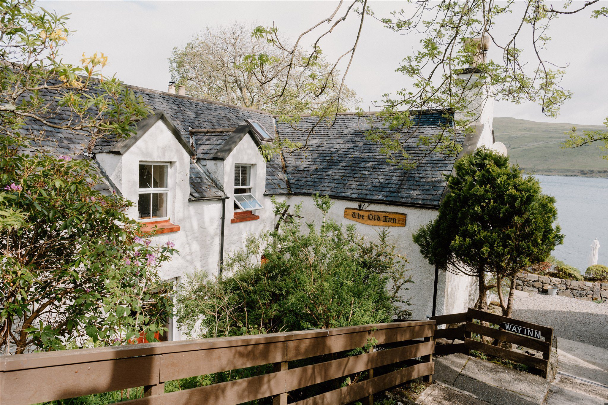
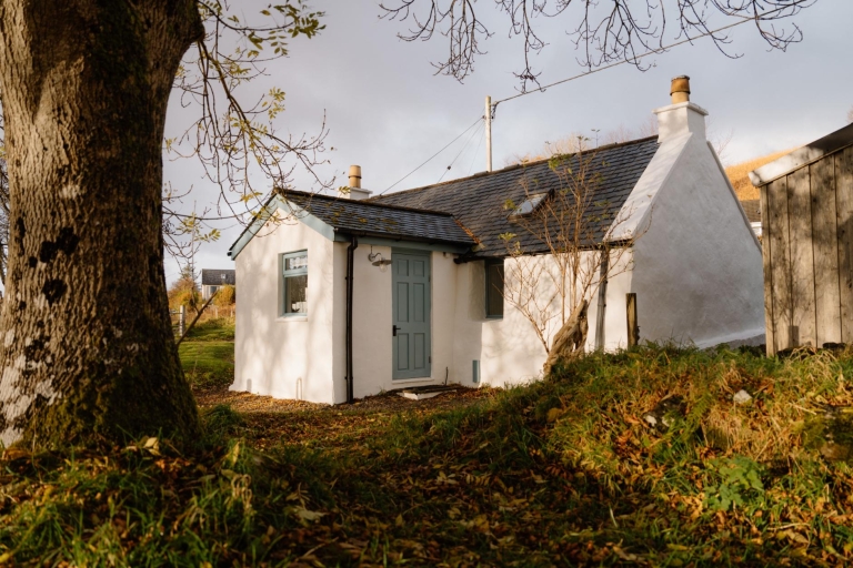
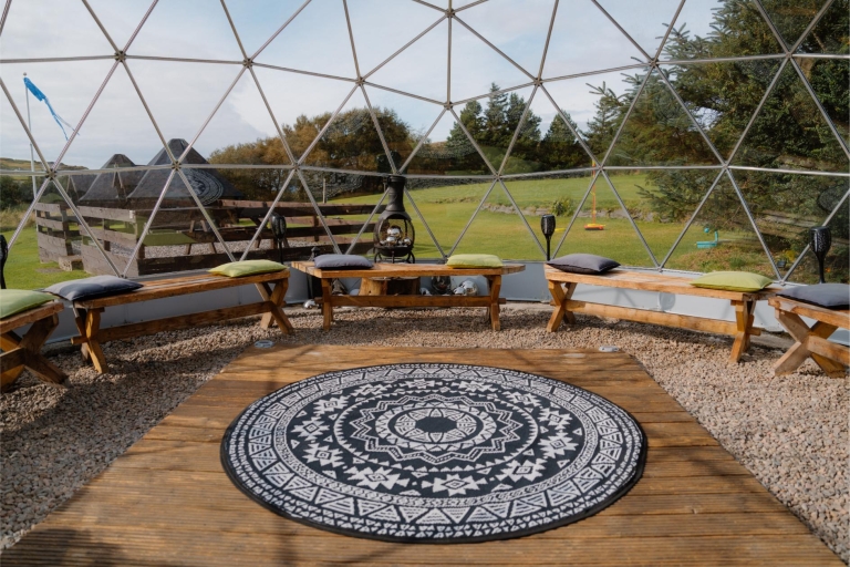
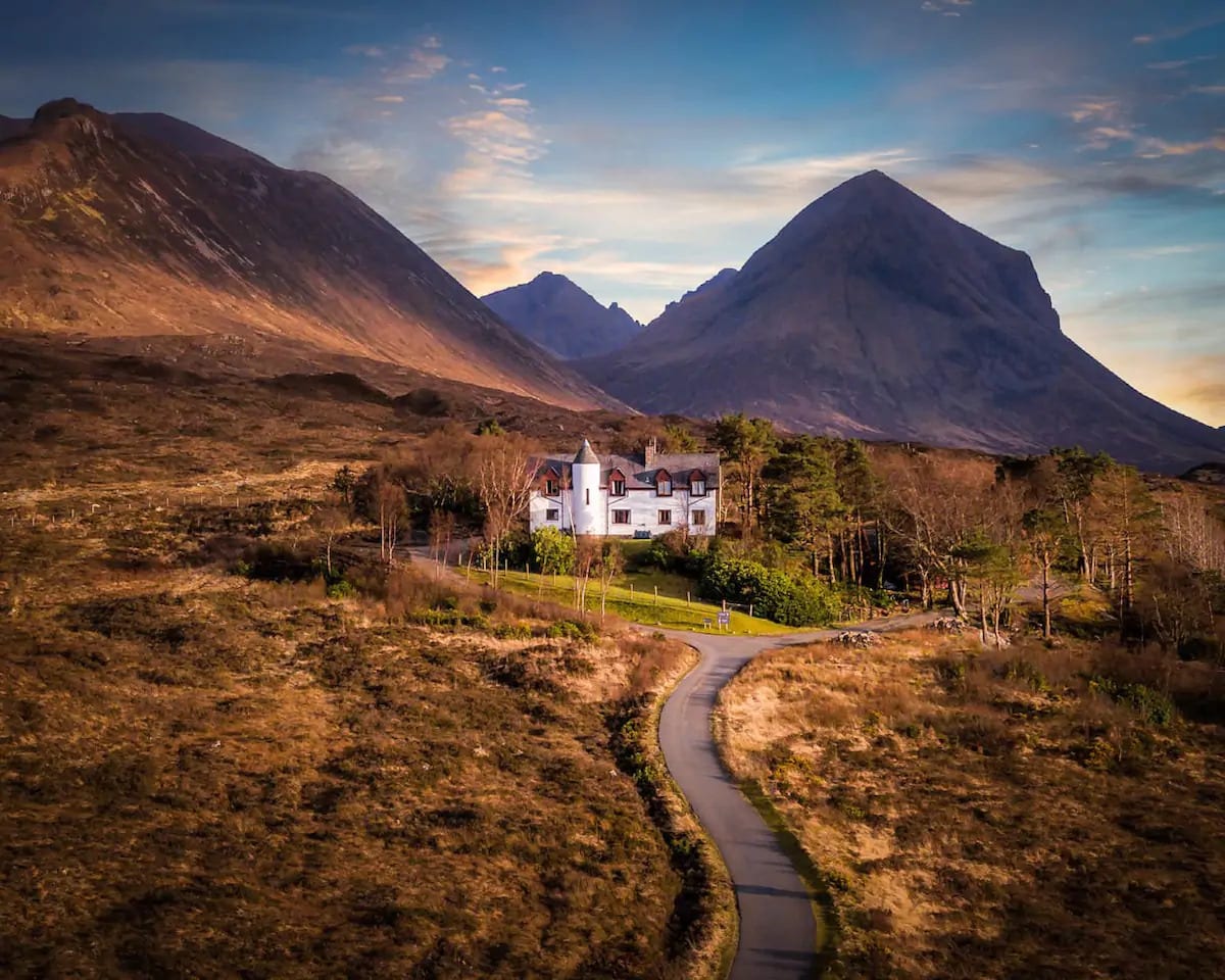
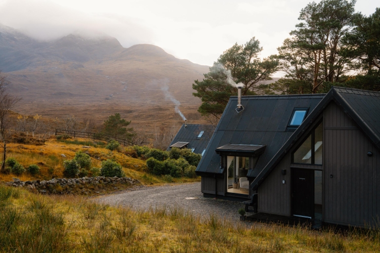
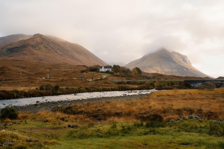
Where to stay nearby
 Sign in with Google
 Sign in with Email