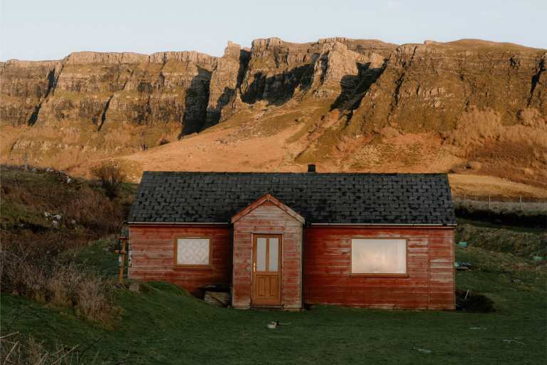
Isle of Canna
Sanday


Testing
Testing
Location
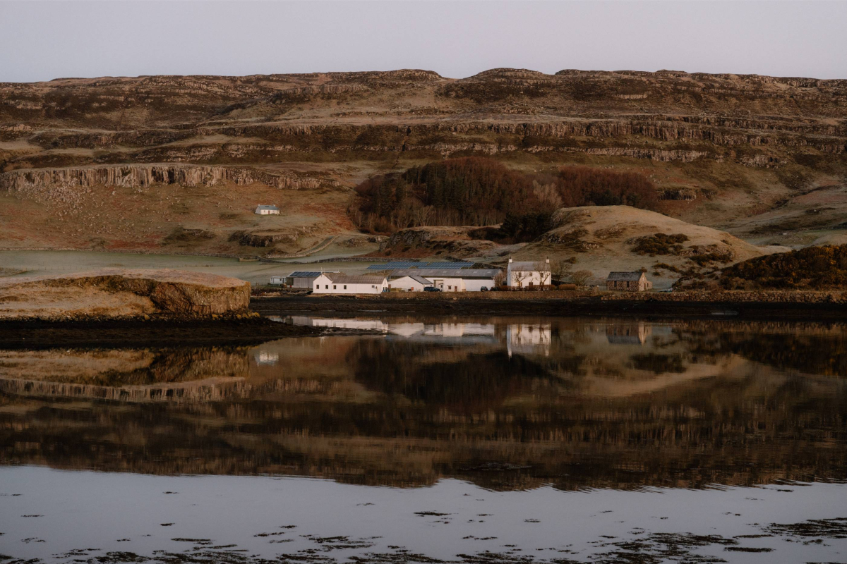
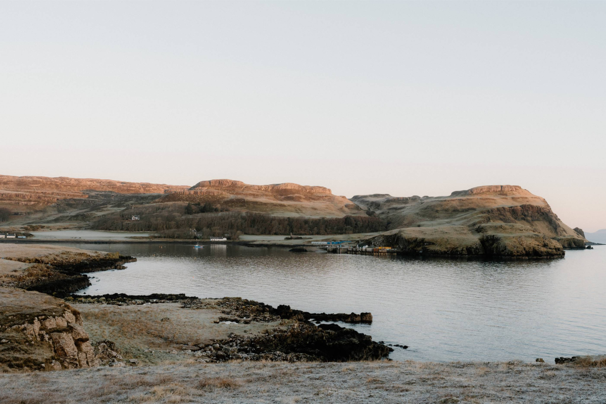
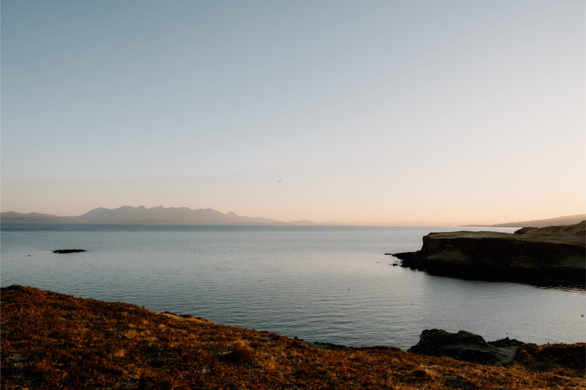
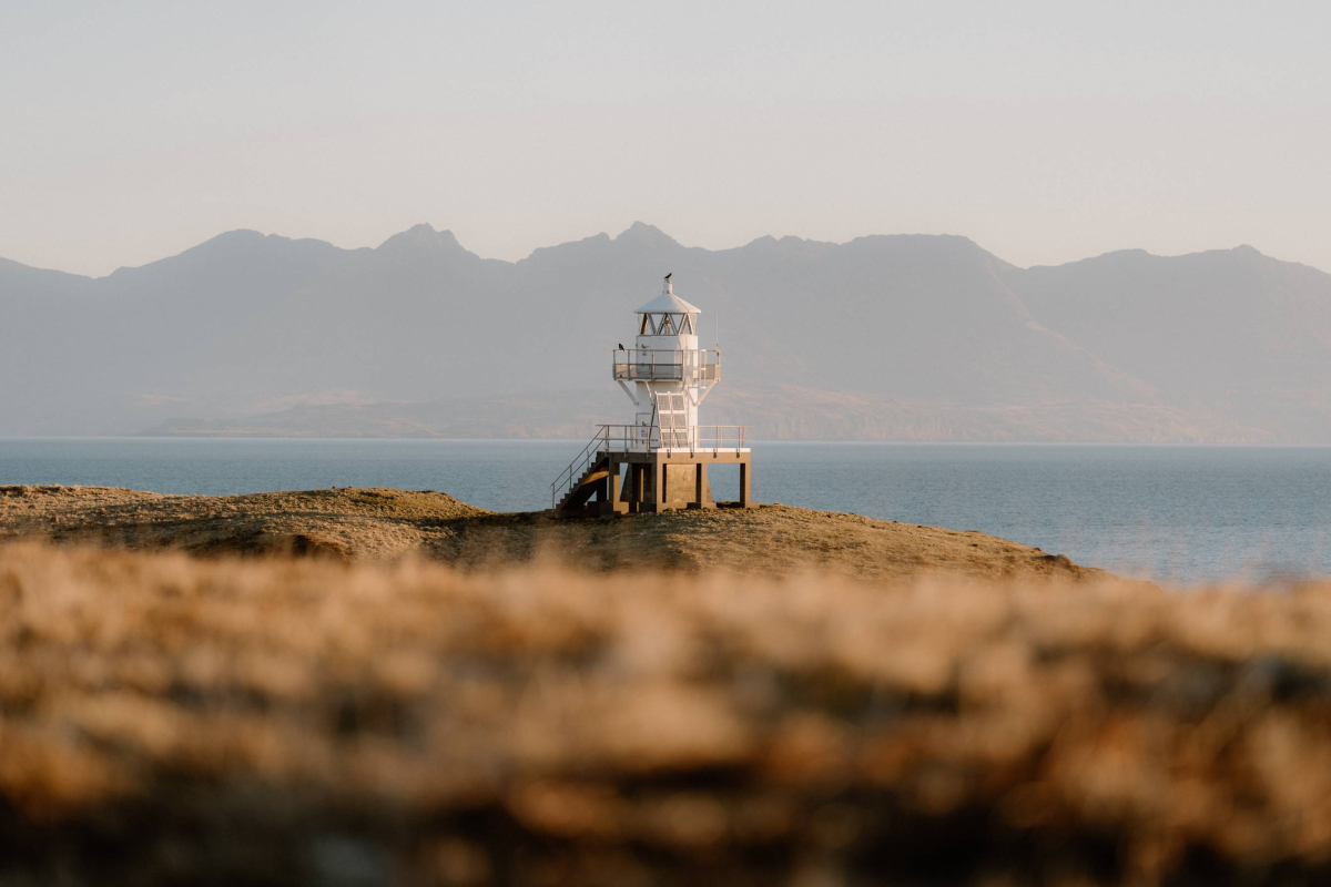
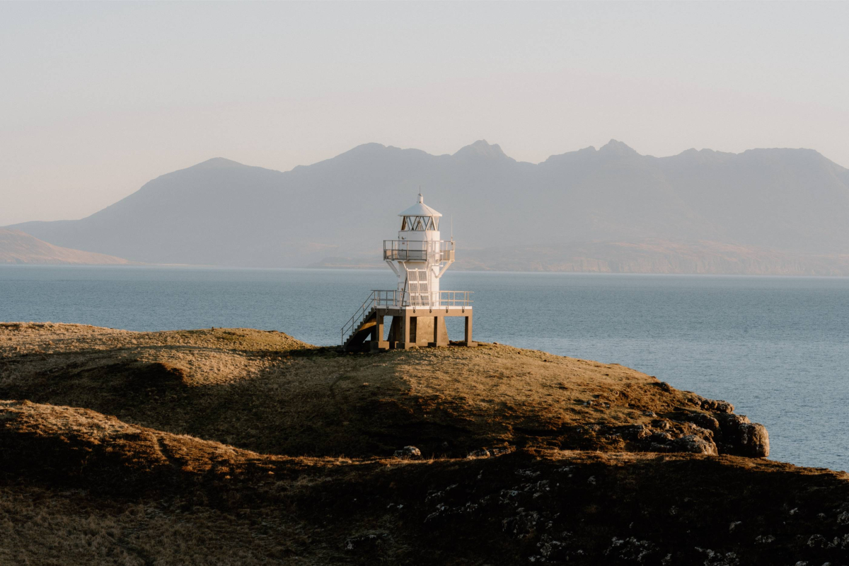
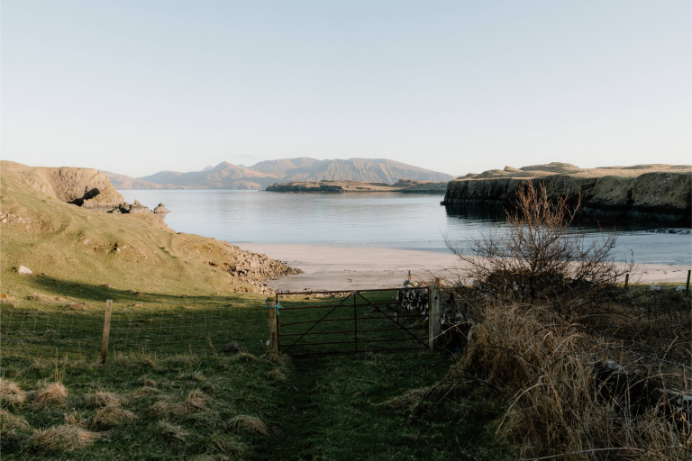
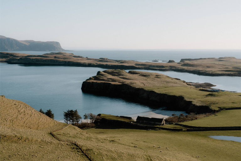
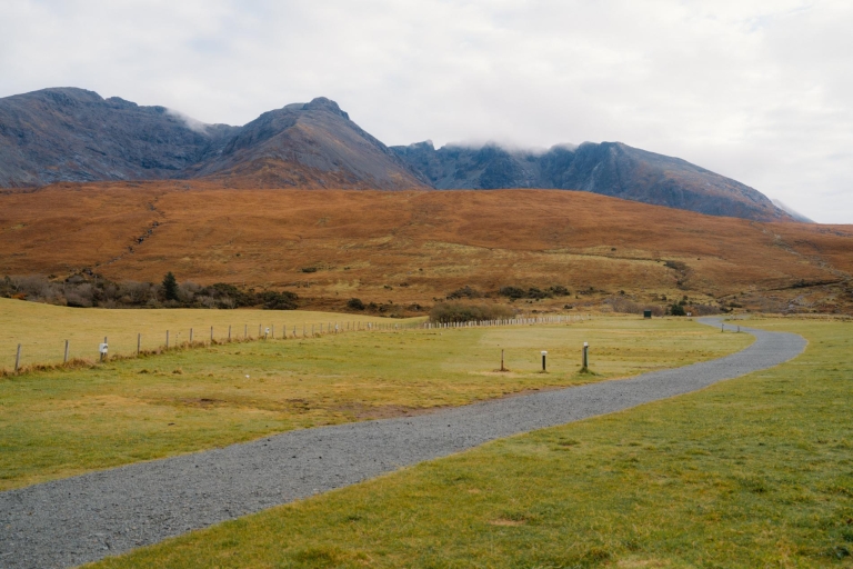
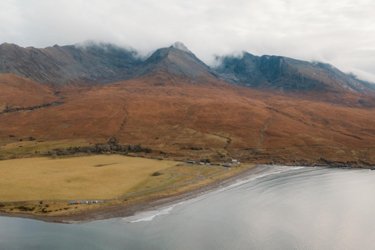
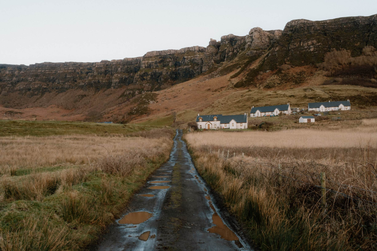
Sanday lies immediately west of Canna, joined by a road bridge over a tidal channel. Its grid reference is roughly NG282043. The bridge is reached within minutes on foot from Canna’s harbour. Once crossed, the island's eastern bay and church are easily visible and accessible.
What's nearby
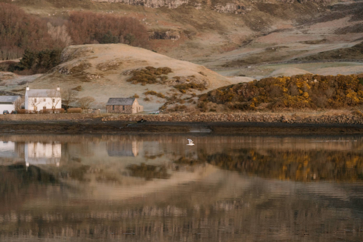
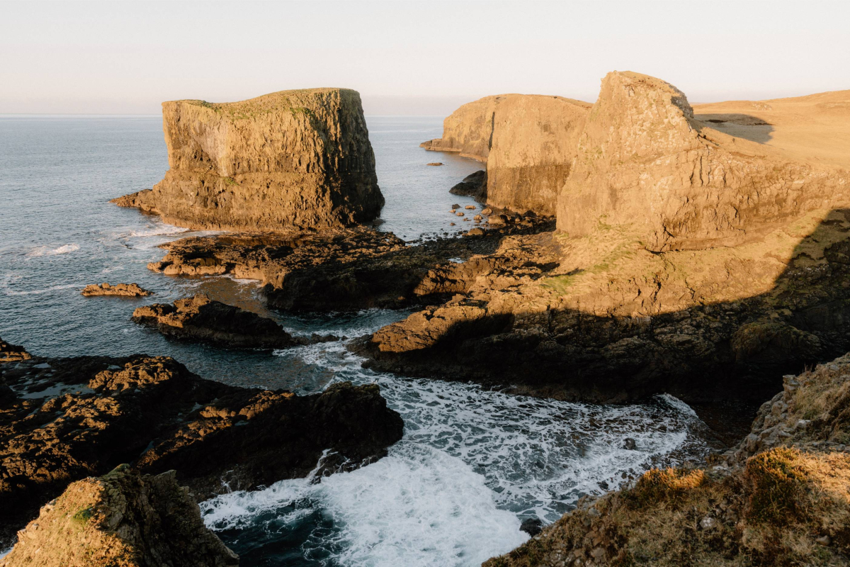
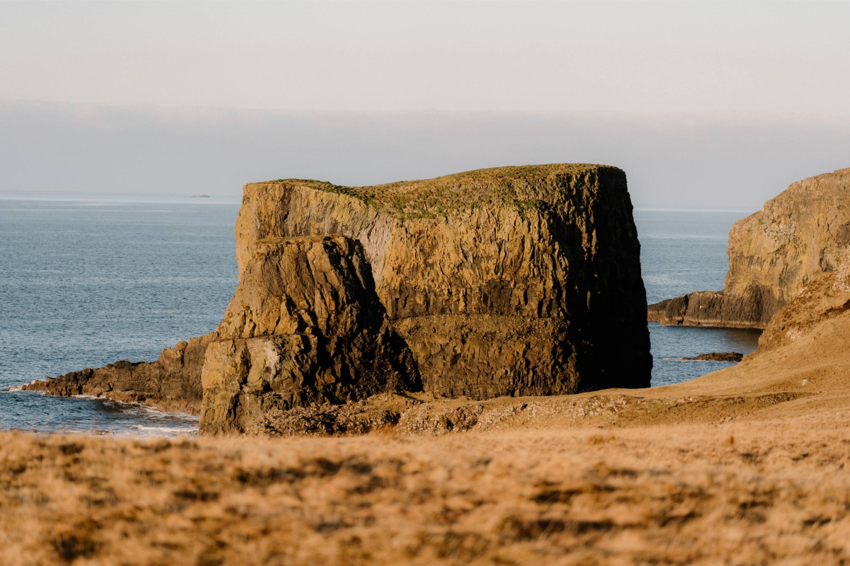
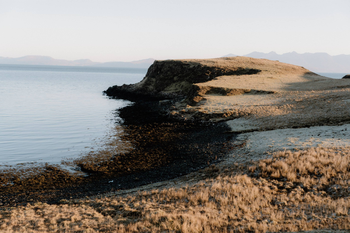
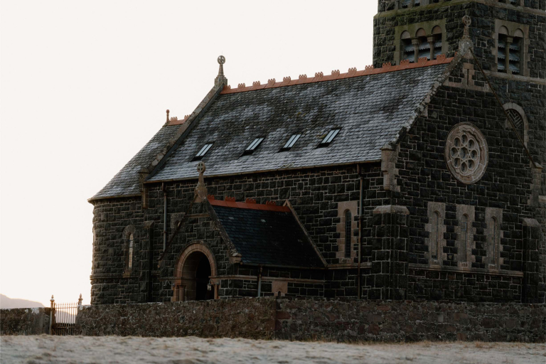
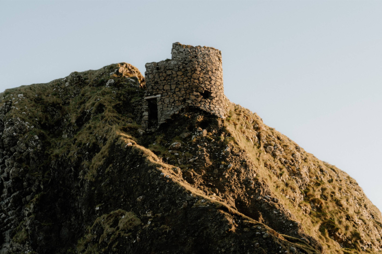
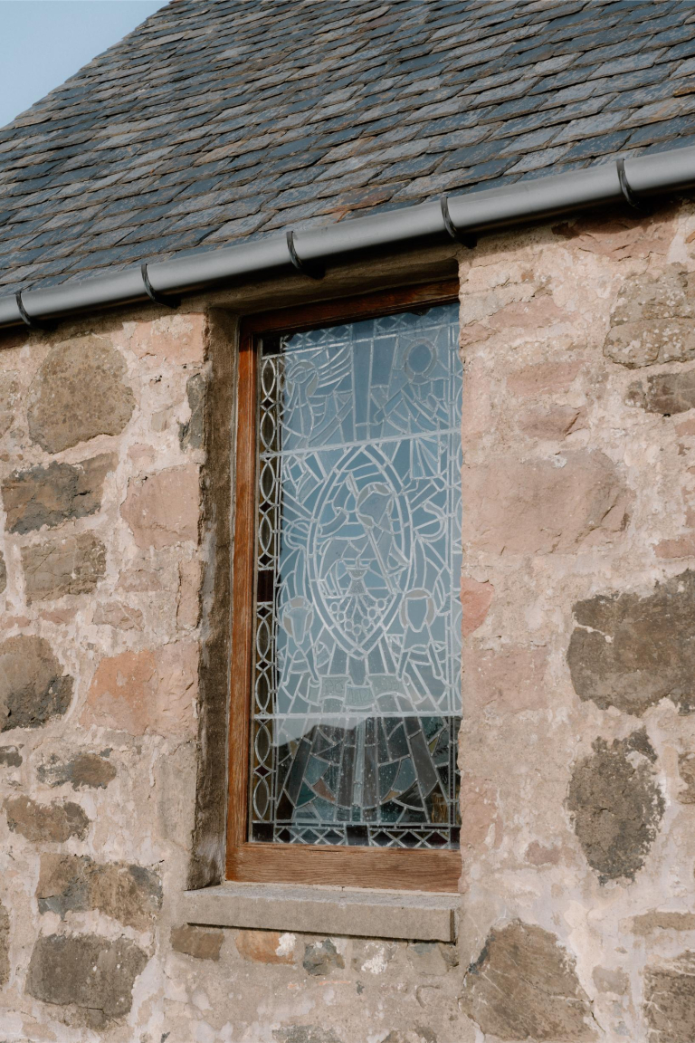
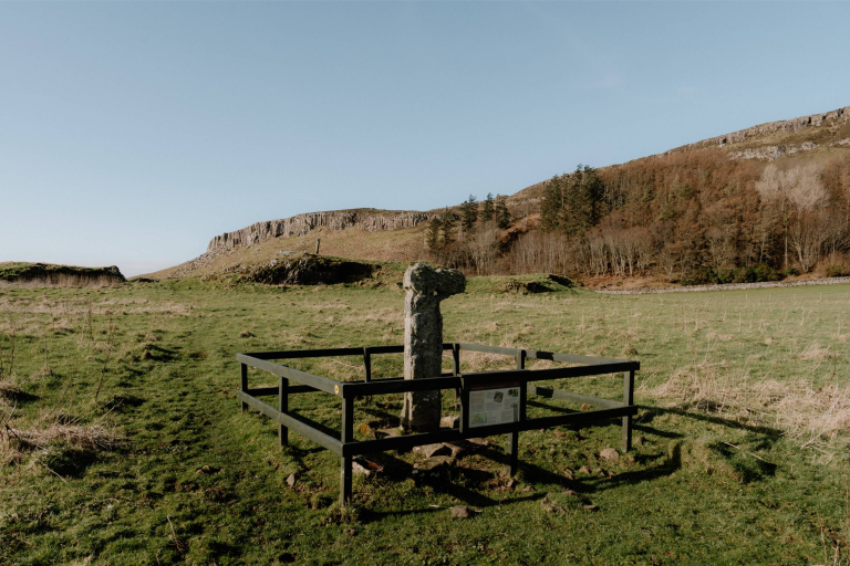
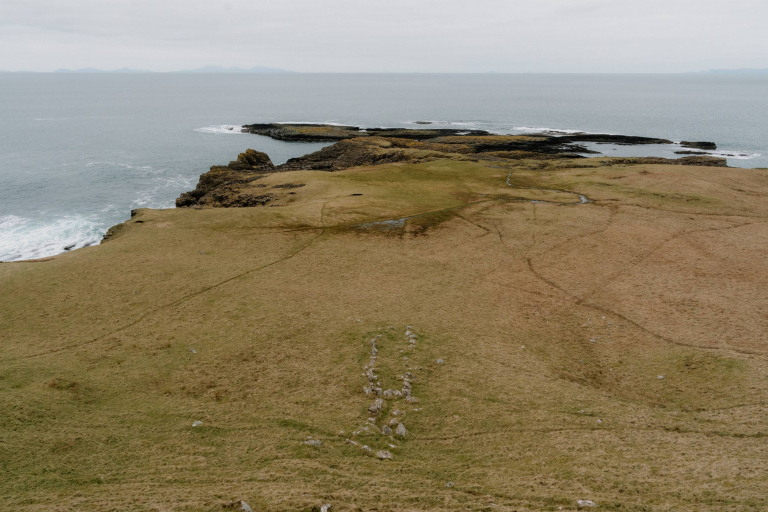
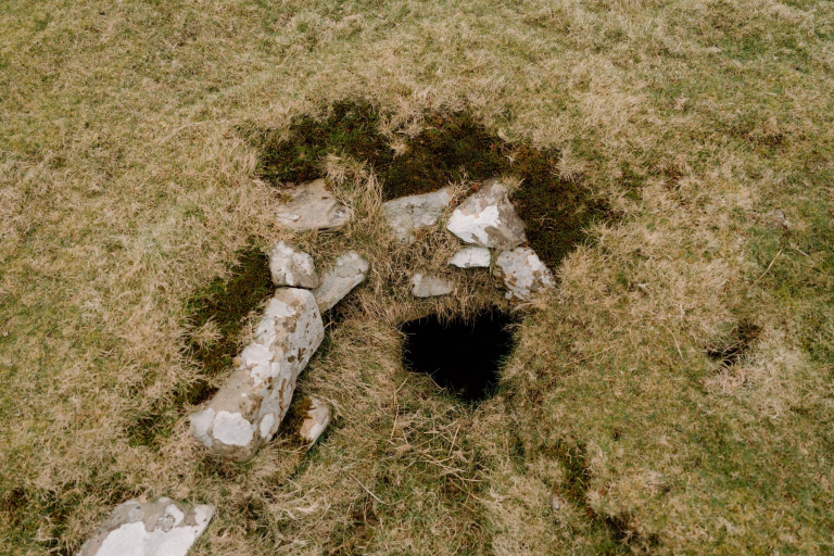
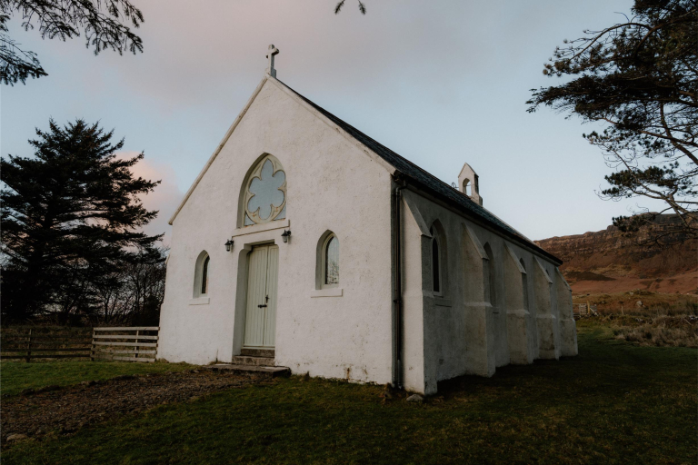
Just across the bridge lies Traigh Bhàn beach. Short walks lead inland to St Edward’s Church and the old school. Coastal paths circle the island’s cliffs, reaching puffin colonies at Dun Mor sea stacks. From the west end, return tracks head back across the island to Canna’s harbour and main settlement.

-medium-large-1736289990.jpg)

-medium-large-1717098620.jpg)

-medium-large-1717098768.jpg)


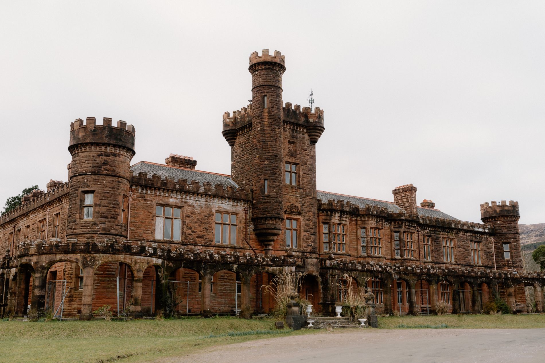
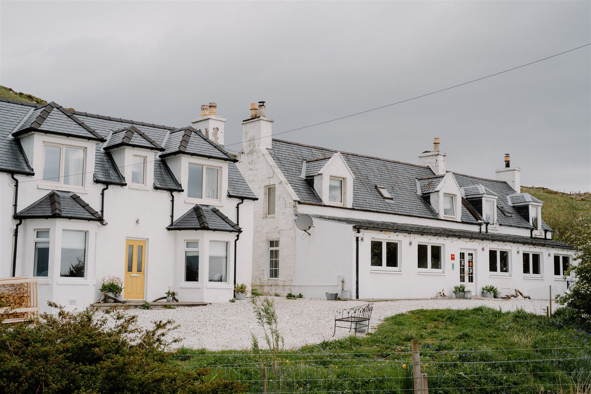
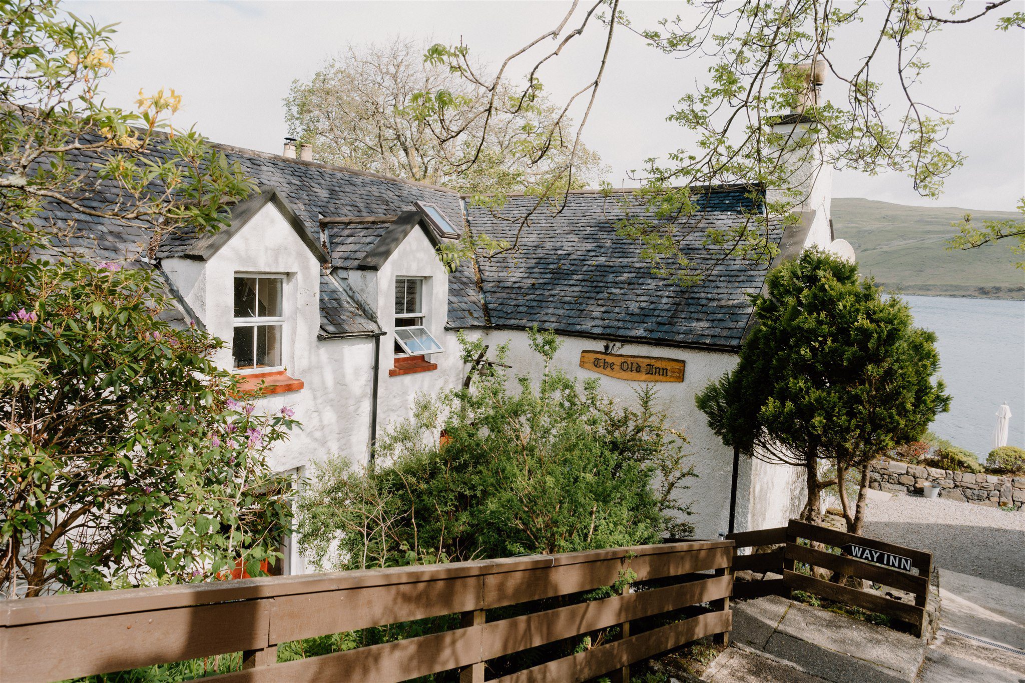
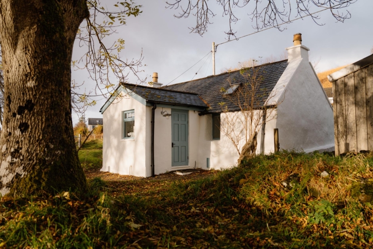
Where to stay nearby
 Sign in with Google
 Sign in with Email