
Argyll and Bute. Argyll and Bute guide
Sea lochs, island ferries, standing stones and whisky, from Oban's harbour to Islay, Jura and Bute.
The four parts of Argyll and Bute
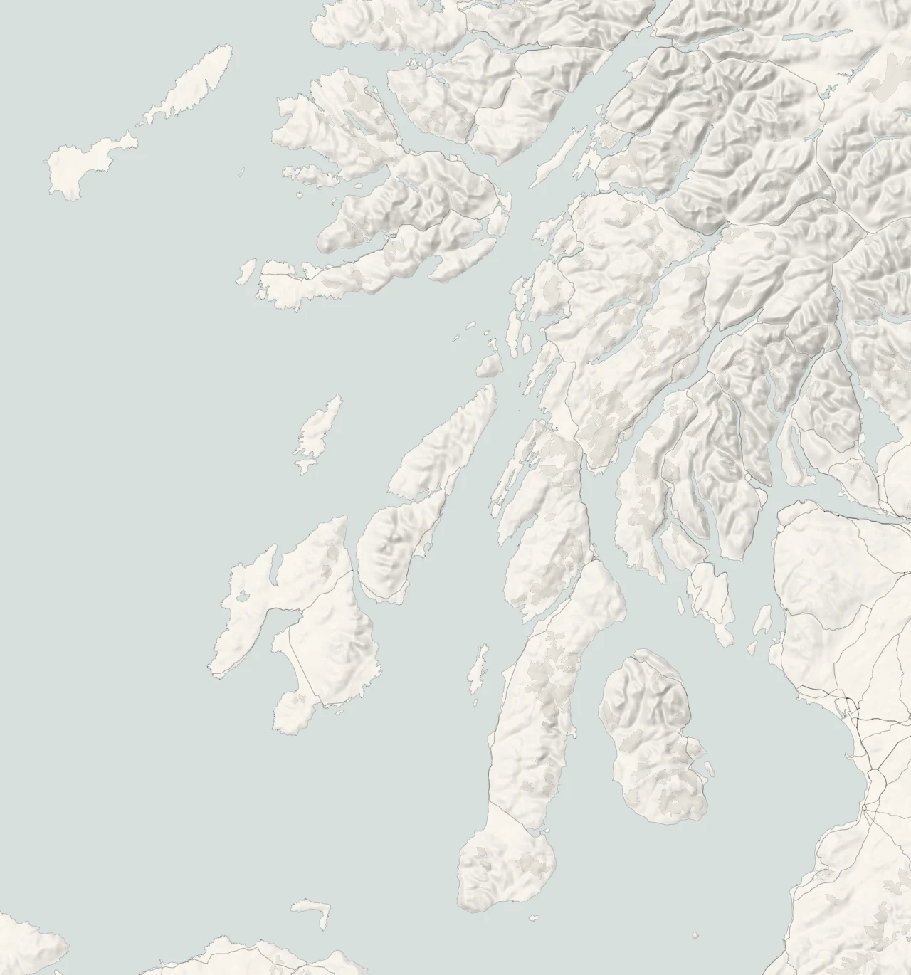
On the map Argyll’s distinctive scenery looks like a challenging jigsaw with saw-toothed peninsulas intersected by sea lochs with their islands and inlets. It goes on like this almost as far as Glencoe to the North, its mountains steadily climbing to Munro heights until they smooth towards Loch Lomond in the East. It’s huge and straddles the Highland-Lowland boundary, encompassing all sorts of landscapes that warrant more than passing exploration. There is ancient woodland where beavers build dams and, in Scotland’s rainforest to the west of the region, trees are clad in weird green life of a kind you’ve never seen before. Tussocky fields stretch towards Alpine-like summits and some of western Scotland’s most beautiful sandy beaches are found here, fringing landscapes that bear the footprints of ancient peoples in chambered cairns, stone circles and hill forts.
Oban and the north
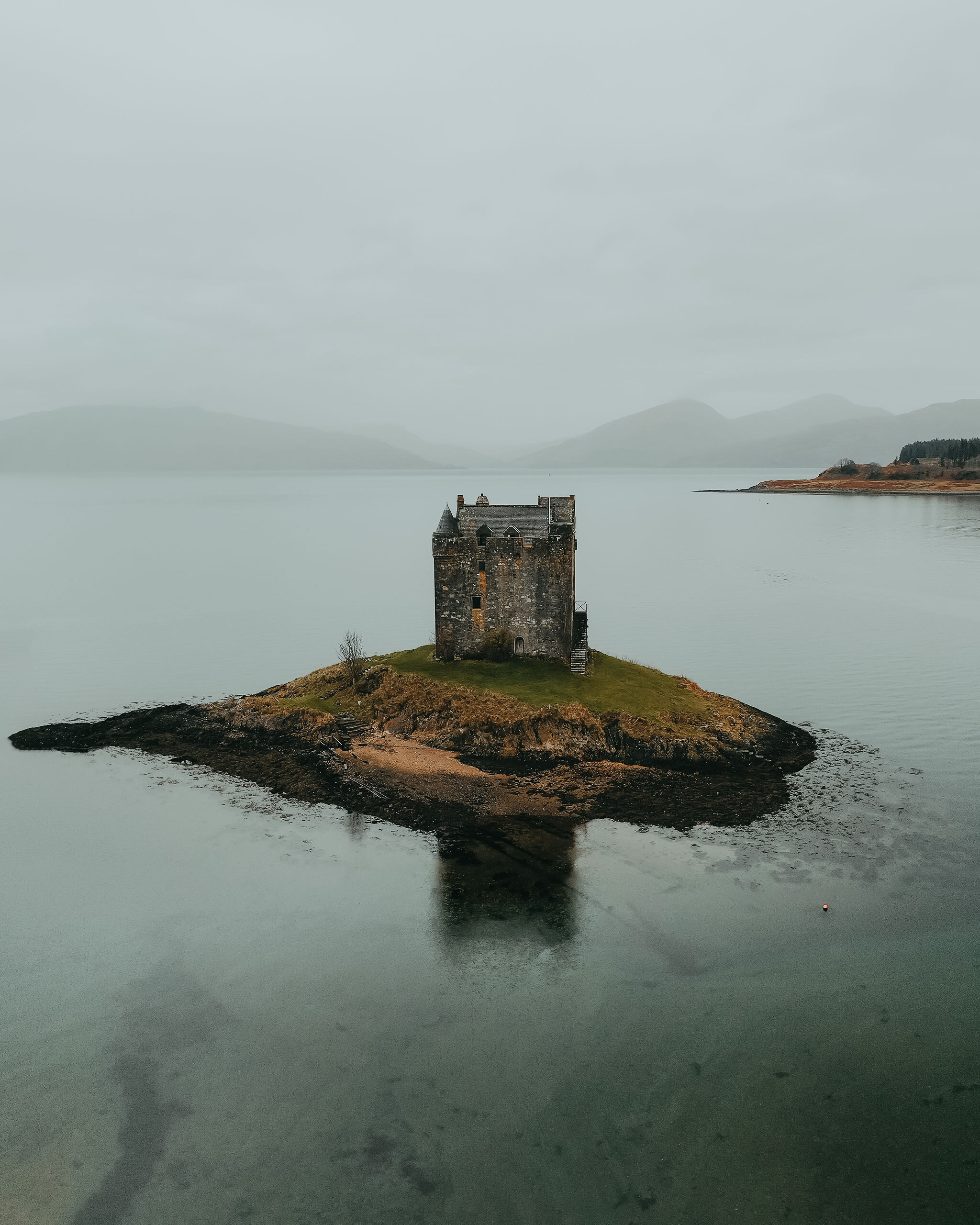
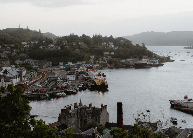
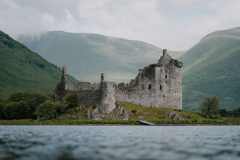
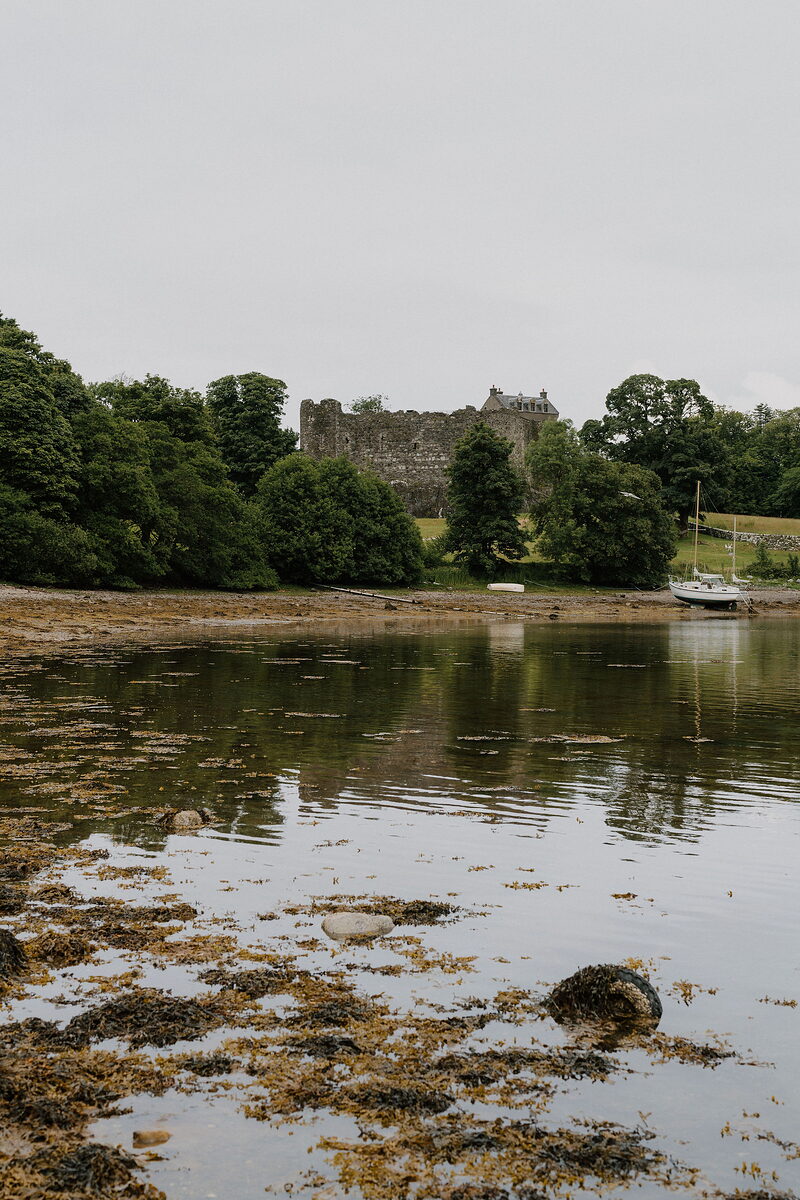
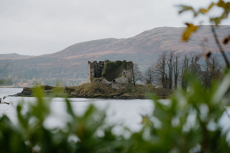
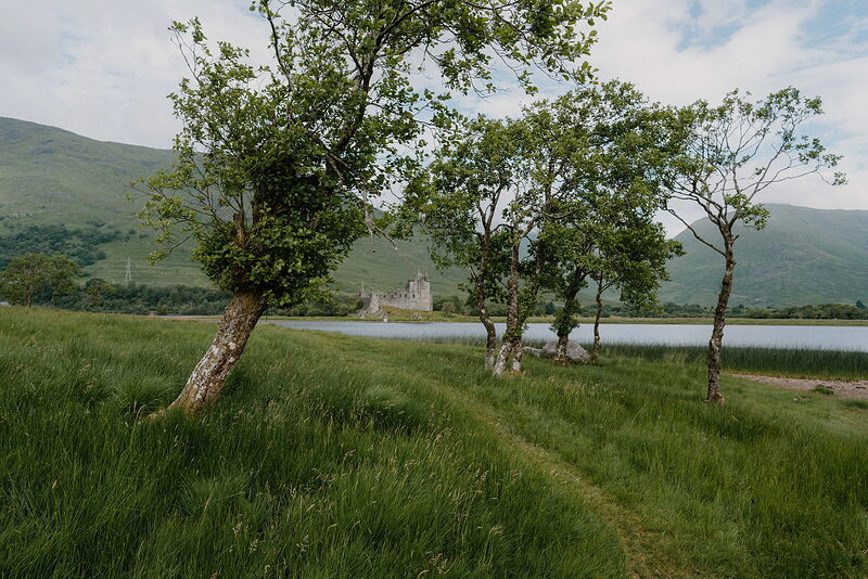
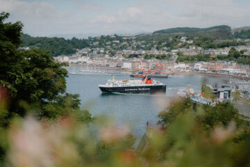
Oban curves round its bay under McCaig's Tower, with seafood on the pier and ferries leaving for Mull, Coll and Tiree. Round about are the castles at Dunstaffnage and Kilchurn, the little ferry to Kerrera and the Bridge over the Atlantic to Seil, while Castle Stalker stands on its islet in Loch Laich at Appin.
Kilmartin, Kintyre and the south
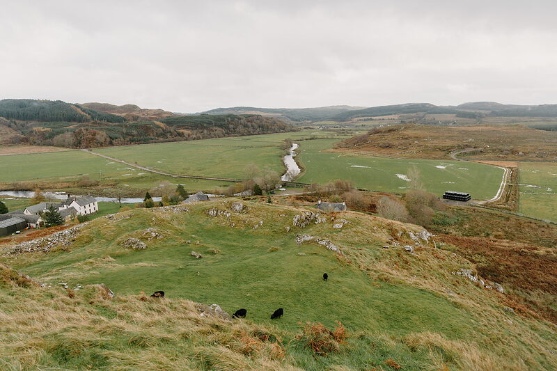
Kilmartin Glen is scattered with standing stones, cairns and cup and ring marks, with Dunadd, the rock of the first Gaelic kings, rising from the moss. Further south, Tarbert's harbour is the gateway to Kintyre, which runs down to Campbeltown and its distilleries, the long Atlantic sands at Westport and the short ferry to Gigha.
Islay, Jura and the west
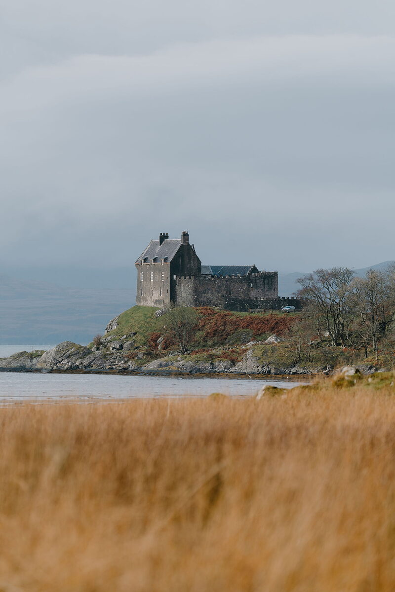
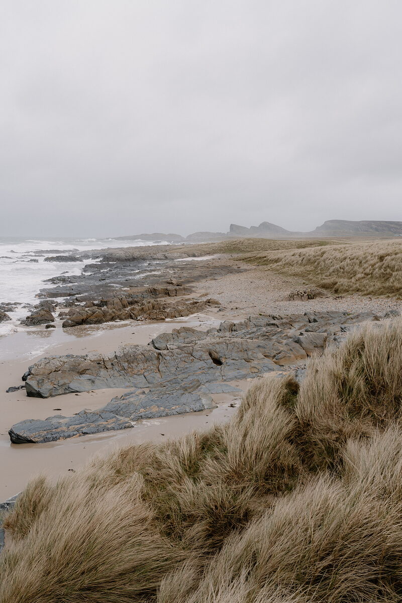
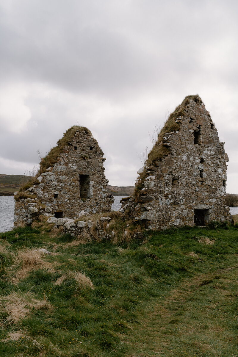
Islay's distilleries line its shores, from the peated malts on the road east of Port Ellen to Caol Ila and Bunnahabhain on the Sound of Islay. Finlaggan was the seat of the Lords of the Isles, and the west coast has wide beaches at Machir Bay and Saligo. A short ferry crosses to Jura, with its one road, its red deer and the Paps.
Cowal, Bute and Loch Fyne
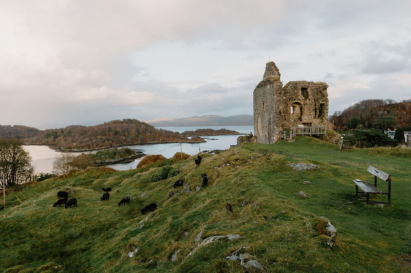
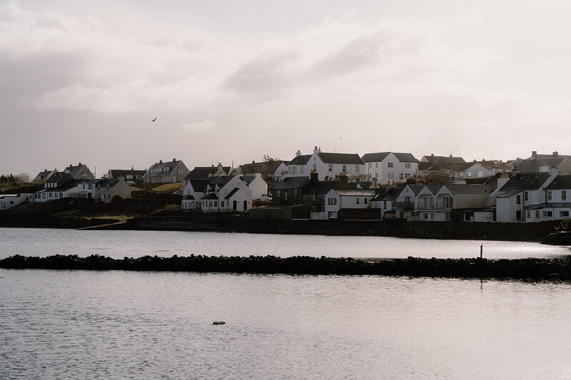
Inveraray stands white on the shore of Loch Fyne below its castle, and the road south runs past oyster bars and gardens into Cowal, with the forest walks of Benmore and Puck's Glen above Dunoon. Tighnabruaich looks over the Kyles of Bute, and across the water Rothesay has its round moated castle, with Mount Stuart and sandy bays further round the island.
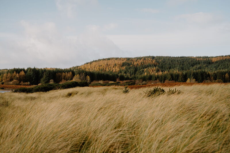
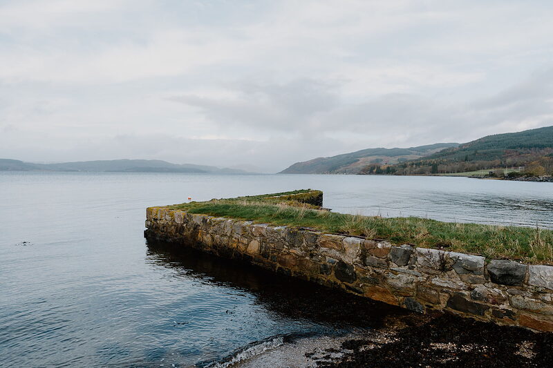
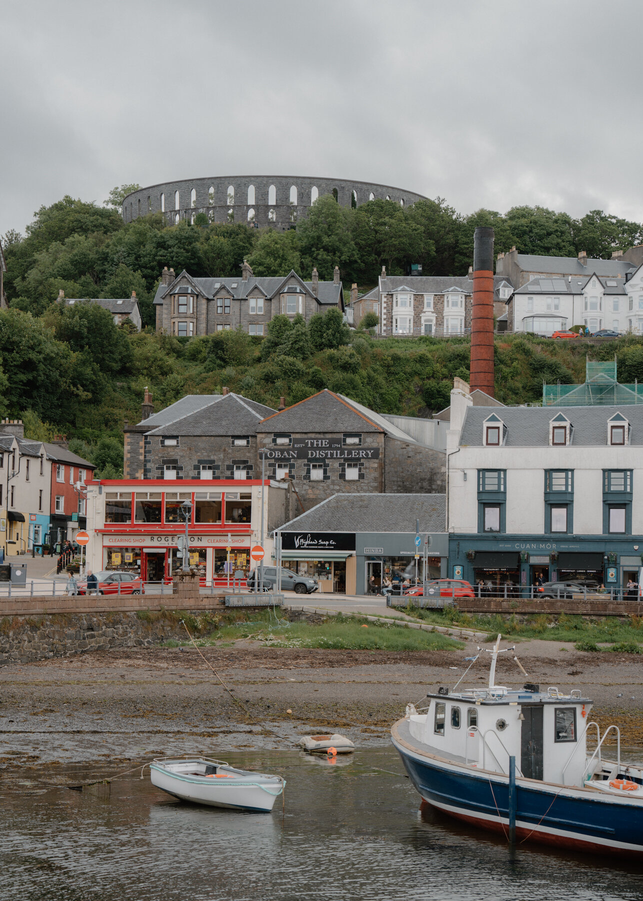
“Take a bit of time to explore Oban and the surrounding area first. There’s so much close by, from easy forest walks and beautiful beaches to old castles and cairns.”

Lorna Freytag
Artist and illustrator, with a studio over Oban Bay
Best known for.
Argyll is synonymous with the sea and its waterways are popular for sailing. It’s also renowned for prehistoric sites – Kilmartin Glen is one of Britain’s most important. Other people come to spot wildlife including beavers or to hike Munro summits such as the iconic Ben Cruachan.
Bute is popular for walking, cycling, fishing and wildlife spotting, and is home to the enchantingly quirky Victorian Gothic stately home Mount Stuart. It has beaches with pink sand and unrivalled views.
More about Argyll and Bute
Perhaps most enchanting of all is the sense of wilderness in narrow passes, inaccessible terrain and endless lengths of loch. The fact that Argyll’s most famous road is called Rest and Be Thankful given its gradient goes some way to showing why travel is easier by water. Southern Argyll’s Kintyre peninsula projects for some 30 miles into the Kilbrannan Sound, drawing close to Ireland. At its northern end it gives onto Loch Fyne, which splices the region and spills down to the Firth of Clyde and the fingers of its sea lochs. The Secret Coast, on the Cowal peninsula between Loch Fyne and Loch Long, is a realm of lonely countryside, forgotten villages and crumbling castles, where squirrels forage, common seals bask and golden eagles soar. North of here, the Munro-encircled 25-mile Loch Awe is Scotland’s longest freshwater loch. It connects to picture-postcard Loch Etive via the Pass of Brander, which is so narrow that legend says an old woman once barred it using a scythe to hold back an army.
Then there are lively outposts with rich histories – names like Inveraray, Campbeltown and Oban, the charming Victorian town at the heart of Lorn, the northerly part of Argyll. Lorn comprises a cluster of sleepy islands – just offshore there’s Kerrera, Lismore, Seil and Luing – but little landmasses are scattered all around Argyll’s waters. Some were settled from the sixth century by religious men who lived lives of solitary prayer, and there’s still a sense of being on the edge of the world. Argyll’s southernmost point feels equally remote: the Mull of Kintyre, just 12 miles from Ireland, reached by a twisty and spectacular road and connected to the mainland by a narrow isthmus between East and West Loch Tarbert.
The Isle of Bute is as intersected by peninsulas as the mainland. Sheltering in the Kyles of Bute opposite the Ardlamont peninsula, it plunges into deep bays and squeezes through narrow kyles. In days gone by, cattle would swim from a kyle at the north end to Collintraive to be taken on to markets in central Scotland. It’s a charming rural image that continues to play out in leafy hedgerows and quiet lanes, but Bute is now Scotland’s fifth largest island by population and marries its quiet countryside with cultural attractions. It’s also one of the best spots in the region for views: from the highest point, Windy Hill, at 913 feet, you can see across the Cumbraes and Arran’s northern peaks and try to piece together this mystical jigsaw of island and jagged-edged mainland that has a coastline longer than that of France.
What would you like to look at?
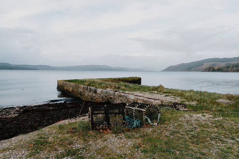
 See and doCastles, standing stones and island chapels
 Eat, drink and shopOysters, seafood from the pier and old inns
 Where to stayBothies, cabins and houses by the waterHistory and storiesDalriada, the Lords of the Isles and the Campbells
 ItinerariesDays we have driven, stop by stop
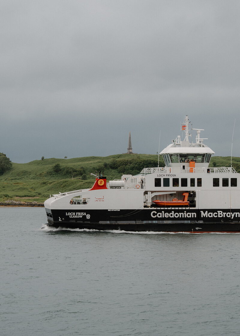 Getting hereThe trains, the roads and the ferries
 What is on in Argyll and ButeSomething new from the region every day
What is on in Argyll and Bute
Friday the 16th of October.
Sunrise 07:55, sunset 18:19.
Coming up in Argyll and Bute
- Oct16Chicken Box ComedyOn today
- Oct16Wee Taste of OrmeauOn today
- Oct16Discover Derry! Interactive Treasure Hunt & City Exploration GameOn today
- Oct16Easy Dance Fitness Workshop to Build Strength and EnduranceOn today
- Oct16The Real Food Cafe Pick N Chips Litterpicking 2026On today
The news in Argyll and Bute
- The Cairndow Stagecoach Inn on Loch Fyne is open again, now run by its community.
- Inverlonan, near Oban, is opening a hotel and restaurant in the restored steading at Ballygowan Farm.
- New in our guide: Winter Woods.
- New in our guide: Cruachan Visitor Centre.
- New in our guide: Ettrick Bay Café.
Things you might not know.
Graeme Johncock
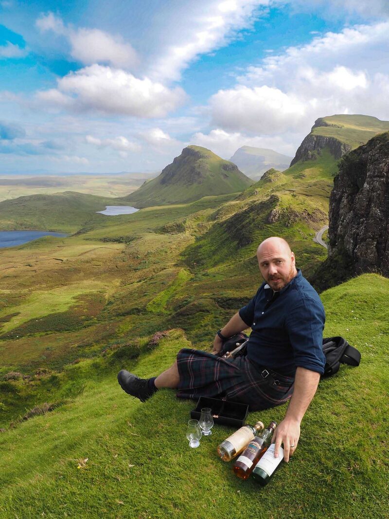
Graeme is the writer and storyteller behind Scotland’s Stories, sharing Scotland’s traditional folklore and legends.
A carved footprint in the rock on Dunadd Hill is believed to have been used during Dalriadan coronations, connecting the new King with those that came before.
Find out moreThe MacIntyres once paid a symbolic price to the Campbells for their land. One white calf and a snowball at midsummer, fetched from high up Ben Cruachan.
Find out moreThe first monument to Admiral Horatio Nelson after his death at the Battle of Trafalgar was a recycled standing stone, raised by the workers of Bonawe Iron Furnace.
Find out moreLegend says that Loch Awe was formed after the Cailleach fell asleep while watching a well on the side of Ben Cruachan. By the time she awoke, the water had filled up the glen below.
Find out more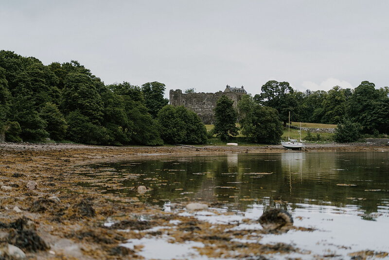
The hereditary Captain of Dunstaffnage Castle doesn’t live there anymore, but must sleep inside for at least 1 night a year to maintain their title.
Find out more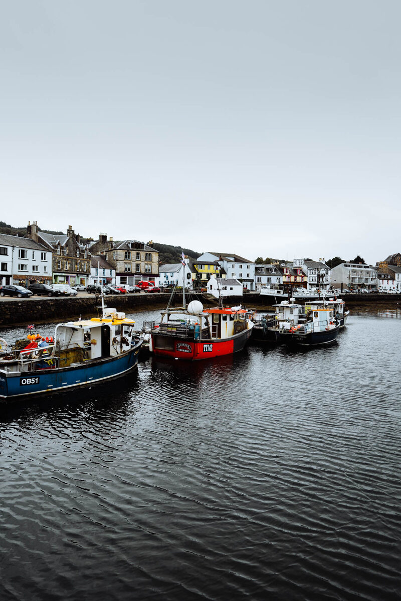
Tarbert is one of many placenames that translate as isthmus. Entire boats would be hauled across land from one side to the other, avoiding the long sail around the Mull of Kintyre.
Find out more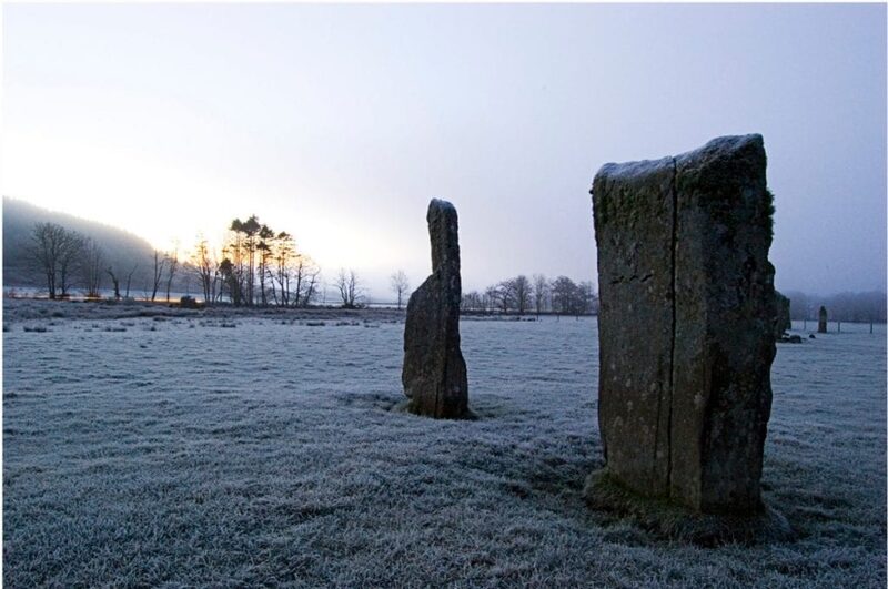
Kilmartin Glen has the highest concentration of Neolithic and Bronze Age monuments in Scotland.
Find out moreJohn Carswell the Bishop of Argyll translated the Book of Common Order in 1567, making it the first book ever published in Gaelic.
Find out moreAccording to local folklore, after Highland dress had been banned, the Tigh na Truish pub on Seil was where islanders would change from kilts into trousers before driving their cattle to Lowland markets.
Find out moreBuilt in the 1100s, Castle Sween is believed to be the oldest remaining stone castle Scotland.
Find out more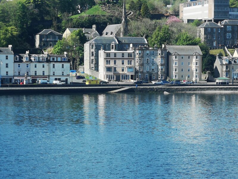
The heir to the British crown is known as the Duke of Rothesay in Scotland after the town on Bute.
Find out moreA mysterious painting of the crucifixion appeared inside a cave on the tidal island of Davaar in 1887. Originally thought to be a miracle, local art teacher Archibald MacKinnon later admitted he had created it after seeing it in a dream.
Find out more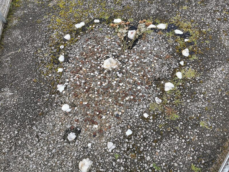
The Tinker’s Heart near Loch Fyne is a permanent monument to Scottish Travellers. Its origin is unknown but has been the site of christenings and weddings for generations.
Find out more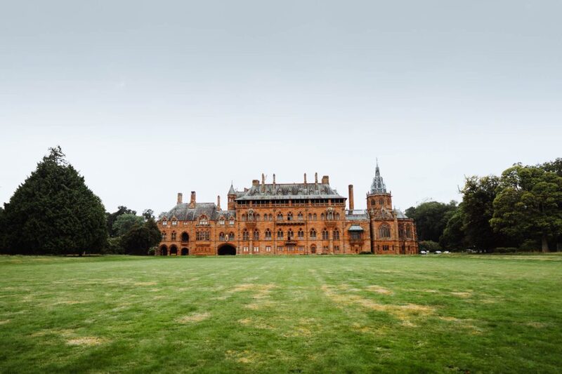
Mount Stuart on Bute claims to have the world’s first heated pool and be the first house in Scotland lit with electricity.
Find out more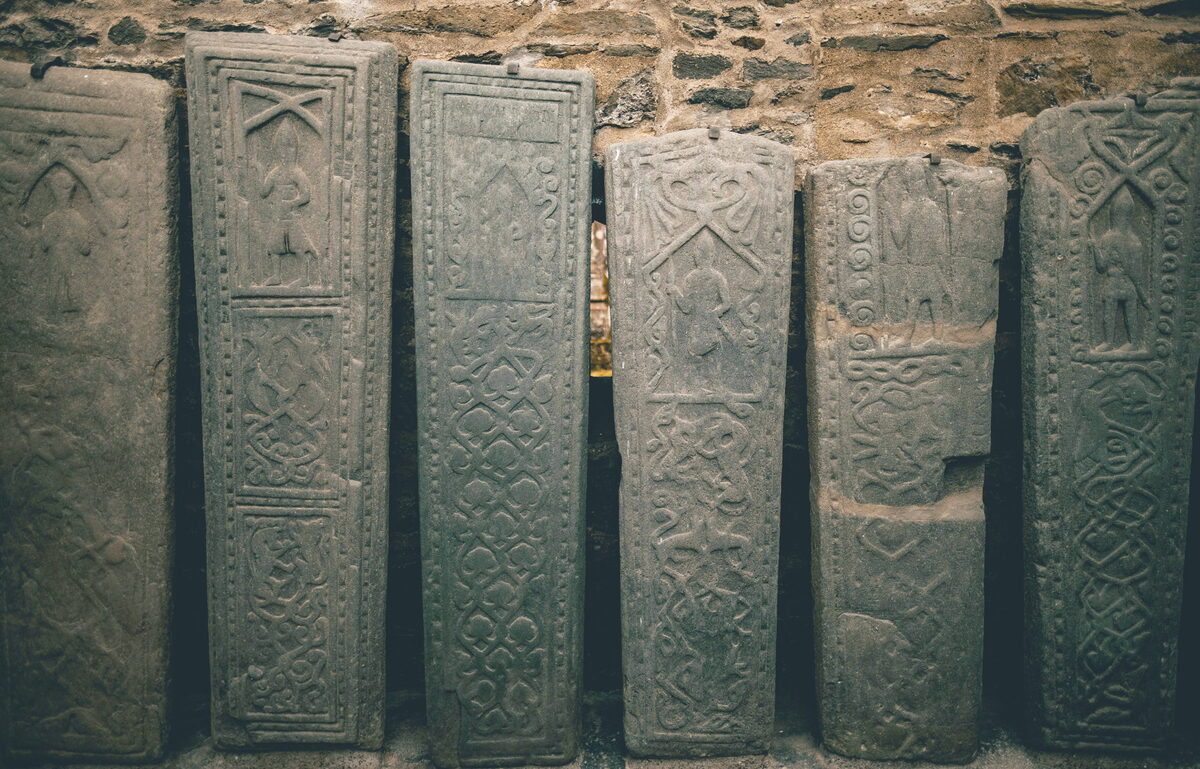
Photographs by Ed, Rhomi Malcolm, Sarah Dodds, Neil Marshall, Chris Gledhill, Christopher Cox, Jochn Visentin, Dom Simpson, G Shaffer, Archita Nanda, Glenn Meyer, Campbeltown Picture House, Alex Haas, Frank Hug and Greg Blundell via Google