
The 20 Best Long Distance Walks in Scotland
Twenty long-distance walks across Scotland, and how hard each one is.
Words by Hidden Scotland
Long walks for every kind of walker, from a day on an old railway line across Dava Moor to three weeks on the way to Cape Wrath.
There’s nothing like a long walk for getting to know a country, and Scotland has some of the best there are. You can follow a river from the sea to the mountains, cross from one coast to the other, or work your way up a chain of islands with the Atlantic beside you.
Some of these routes are well signed and gentle enough for a first go, with a village and a bed at the end of every day. Others are wild and unmarked, and only for walkers who know what they are doing. Here are twenty to think about.
Most are at their best from April to October. The midges are at their worst in July and August, mainly in the west, which is why so many walkers choose May, June or September.
In this piece
The places
01West Highland Way
02Great Glen Way
03Speyside Way
04Rob Roy Way
 05John Muir Way
06Fife Coastal Path
07Southern Upland Way
- 08Borders Abbeys Way
09St Cuthbert’s Way
10Berwickshire Coastal Path
- 11Annandale Way
- 12Ayrshire Coastal Path
- 13Clyde Walkway
- 14Loch Lomond and Cowal Way
- 15Cateran Trail
- 16Dava Way
- 17Hebridean Way
- 18Skye Trail
19John o’ Groats Trail
20Cape Wrath Trail
01 · Milngavie to Fort William · 96 miles
West Highland Way
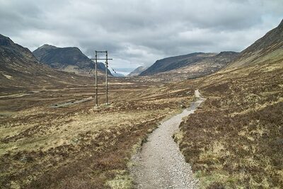
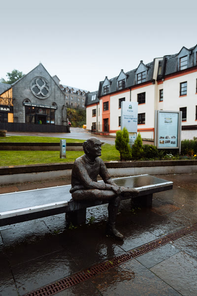
Scotland’s first official long-distance route is still its most famous, and around 50,000 people walk the whole of it every year. It starts in Milngavie, on the edge of Glasgow, and heads north along the east shore of Loch Lomond, over Rannoch Moor and past the mouth of Glen Coe to finish in Fort William, below Ben Nevis.
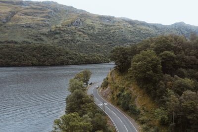
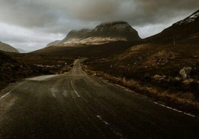
Most people take seven or eight days. The path is well signed and the southern half is the gentler one, so walking north gives your legs time to settle in before the Devil’s Staircase, the highest point at 550 metres. Book your beds early, and let a baggage company carry your bag if you like.
02 · Fort William to Inverness · 78 miles
Great Glen Way
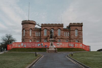
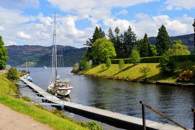
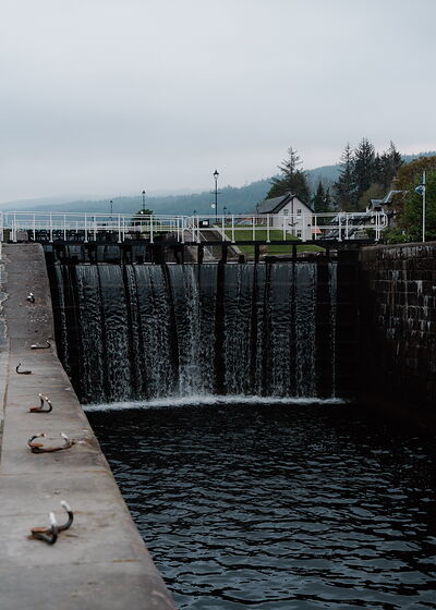
The Great Glen cuts Scotland in two from coast to coast, and this route follows it all the way from Fort William to Inverness Castle. The first days are easy going along the towpath of the Caledonian Canal, past the eight locks of Neptune’s Staircase and the shores of Loch Lochy and Loch Oich.
-full-1761122073.jpg)
After Fort Augustus you have Loch Ness beside you for the rest of the way, with a choice between a low route and a steeper high one with bigger views. Allow five to seven days. It’s well signed, there are villages at sensible intervals, and it makes a good first long walk.
03 · Buckie to Newtonmore · 85 miles
Speyside Way
This one follows the River Spey upstream, from the Moray coast through whisky country and into the Cairngorms. It starts by the sea at Buckie, passes the Scottish Dolphin Centre at Spey Bay, and works its way through Craigellachie, Aberlour and Grantown-on-Spey to Aviemore. Since 2022 it has carried on to Newtonmore.
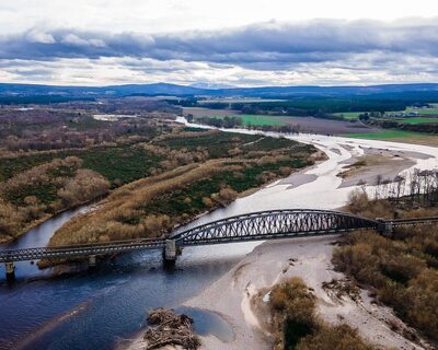
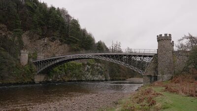
Allow six to nine days. It’s one of the gentler routes here, well signed and with plenty of places to stay. If you want a harder day in the hills, a spur from Ballindalloch climbs to Tomintoul.
04 · Drymen to Pitlochry · 79 miles
Rob Roy Way
The Rob Roy Way is named after Rob Roy MacGregor, the outlaw who knew this country well in the early 1700s. It crosses the southern Highlands from Drymen to Pitlochry and links a string of good small towns, Aberfoyle, Callander, Killin and Aberfeldy among them.
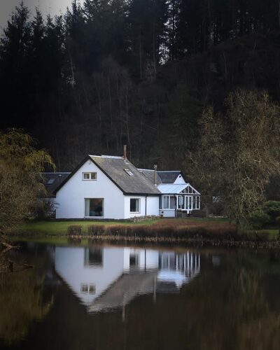
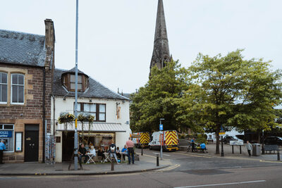
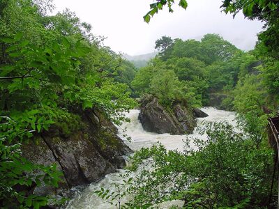
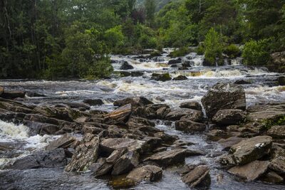
On the way you pass the Falls of Leny, Loch Lubnaig, the Glen Ogle viaduct and the Falls of Dochart, then follow Loch Tay east. Most walkers take six to eight days. The stretch above Loch Tay is the hardest and the most exposed, and there is a longer option through Glen Quaich that adds about 17 miles.
05 · Helensburgh to Dunbar · 134 miles
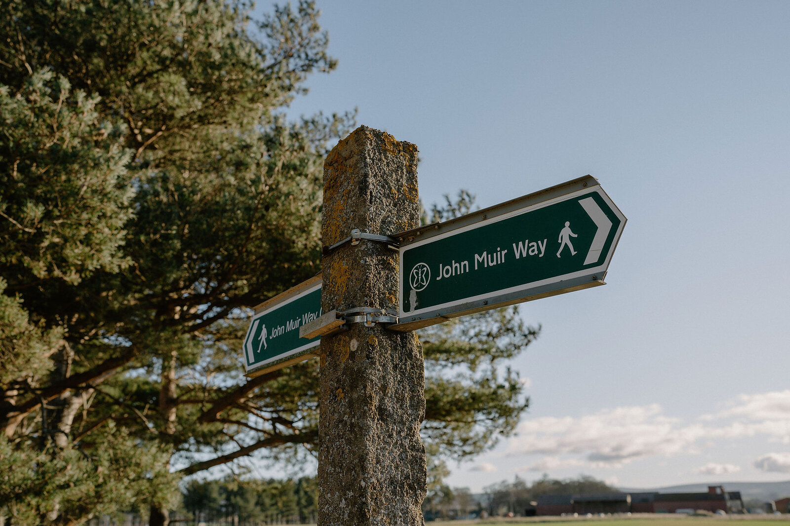
John Muir Way
John Muir was born in Dunbar in 1838 and went on to become the great campaigner for America’s national parks. The route named after him crosses central Scotland from coast to coast, from Helensburgh on the Clyde to his home town on the North Sea.
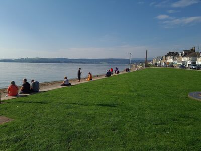
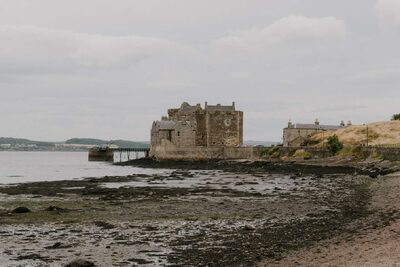
On the way you touch the edge of Loch Lomond, follow the Antonine Wall and the canals to the Falkirk Wheel, pass Linlithgow Palace and Blackness Castle, and walk through Edinburgh and along the East Lothian coast. Allow nine to eleven days. The gradients are gentle and it runs through towns for much of the way, so it’s easy to walk a section at a time.
06 · Kincardine to Newburgh · 116 miles
Fife Coastal Path
The Fife Coastal Path goes right round the shore of Fife, from the Forth to the Tay. It starts at Kincardine, passes Culross and the three Forth bridges, then carries on through the fishing villages of the East Neuk: Elie, St Monans, Pittenweem, Anstruther and Crail. From there it turns north to St Andrews, the forest and beach at Tentsmuir and the Tay bridges, before finishing at Newburgh.
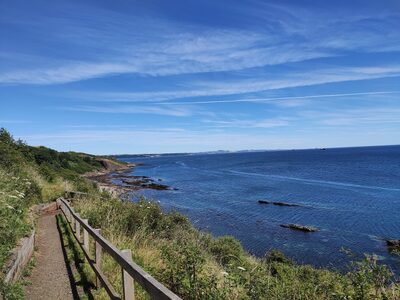
Allow eight to ten days. Much of it is level and easy, but a few rocky stretches between Elie and St Andrews can only be walked at low tide, so check the tide times before you set out.
07 · Portpatrick to Cockburnspath · 214 miles
Southern Upland Way
This is the big one in the south, and it was the UK’s first official coast-to-coast route. It crosses the whole country from Portpatrick on the Irish Sea to Cockburnspath on the North Sea, over the hills of Galloway and the Borders, and it takes most people twelve to sixteen days.
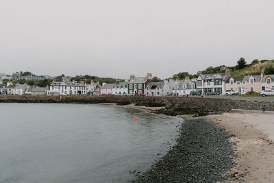
It is also one of the hardest walks here. The hills are high and empty, some days are very long, and in places there is a long way between beds, so it needs planning. In return you get St Mary’s Loch, Traquair and Melrose. Look out for the thirteen hidden boxes of specially minted coins along the way.
08 · A circuit from Tweedbank · 68 miles
Borders Abbeys Way
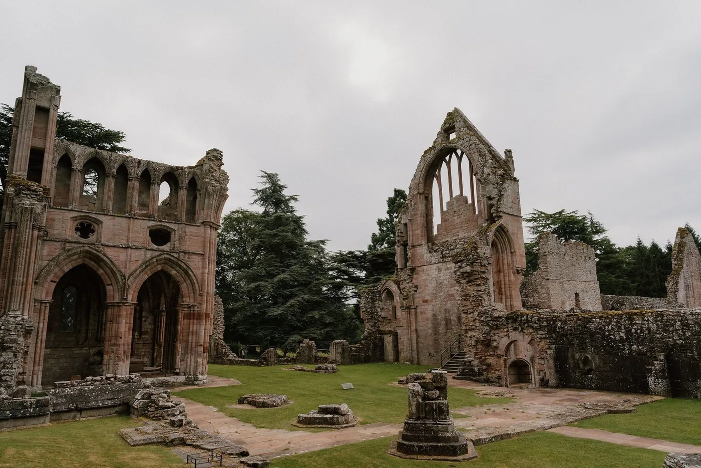
This is a circular walk linking the four great ruined abbeys of the Borders: Melrose, Dryburgh, Kelso and Jedburgh. Most people start at Tweedbank, where the train from Edinburgh ends, and take five or six days to go round.
-full-1749383090.jpg)
Between the abbeys you follow the Tweed and the Teviot and stop in the towns of Hawick and Selkirk. It is a moderate walk and a good one if you are new to this, since you are never far from a town. Leave time to go into the abbeys themselves, and to see Sir Walter Scott’s house at Abbotsford, which the route passes close by.
09 · Melrose to Lindisfarne · 62 miles
St Cuthbert’s Way
St Cuthbert was a seventh-century monk who was prior at Melrose and later Bishop of Lindisfarne, and this walk joins the two. It leaves Melrose over the Eildon Hills, follows the Tweed past Dryburgh, crosses the hills by Kirk Yetholm and Wooler, and finishes on Holy Island, off the Northumberland coast.
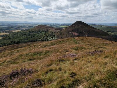
Allow four to six days. The first day is a stiff one, and the last is the one to plan carefully. You can only reach the island at low tide, by the causeway road or the old Pilgrims’ Path across the sands, so check the safe crossing times and never set out on a rising tide.
10 · Cockburnspath to Berwick-upon-Tweed · 30 miles
Berwickshire Coastal Path
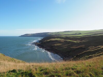
It’s only thirty miles, but this is very fine cliff walking, and it’s tougher than its length suggests. The path runs south from Cockburnspath past Pease Bay to the seabird cliffs of St Abb’s Head, then on through St Abbs, Coldingham Bay, Eyemouth and Burnmouth to finish over the border in Berwick-upon-Tweed.
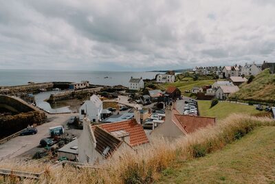
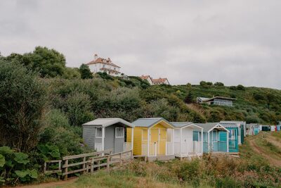
A short detour early on takes you to Siccar Point, where James Hutton came by boat in 1788 and found the rocks that showed how old the Earth must be. Take two to four days. A bus links the villages along the way, which makes it easy to walk a day at a time.
11 · Moffat to the Solway Firth · 56 miles
Annandale Way
The Annandale Way follows the River Annan from its source to the sea. It begins in the hills above Moffat with a circuit of the Devil’s Beef Tub, the great hollow where the river rises, then heads south through low country by Lochmaben or Lockerbie, whichever you choose, to Annan and the shore of the Solway.
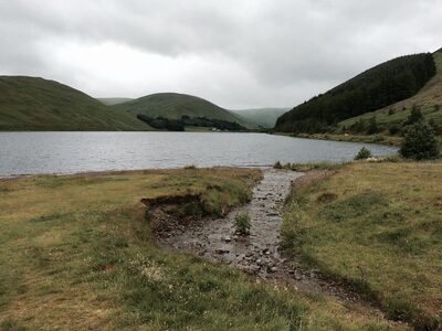
Allow four or five days. Only the first day does any real climbing, to about 500 metres, and the rest is low and easy. It’s a good choice for a first long walk.
12 · Glenapp to Skelmorlie · about 100 miles
Ayrshire Coastal Path
The Rotary Club of Ayr created this path, and volunteers still look after it. It runs the length of the Ayrshire coast, with views across the water to Arran. The southern half is the wilder one, along clifftops and rocky shores from Glenapp and Ballantrae by Girvan, Culzean and Dunure. From Ayr north it is mostly flat, on sandy beaches through Troon, Irvine and Largs.
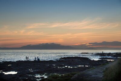
Allow six to nine days. A few short rocky stretches south of Ayr are cut off around high tide on some days of the month, so look up the tide times first.
13 · Glasgow to New Lanark · 40 miles
Clyde Walkway
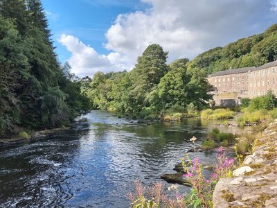
You can walk out of the middle of Glasgow and, three to five days later, arrive at a World Heritage Site. The Clyde Walkway follows the river upstream from the city, through Strathclyde Country Park and past Bothwell Castle, Chatelherault and Craignethan Castle, into the wooded gorge of the upper Clyde.
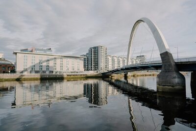
It finishes at the mill village of New Lanark, with the Falls of Clyde just beyond, where Corra Linn drops 28 metres. It never climbs above 200 metres, so it suits most walkers. The signs are patchy in places, though, so take the free Clyde Walkway app or a map with you.
Stay near Clyde Walkway
Our places to stay, nearest first
14 · Portavadie to Inveruglas · 57 miles
Loch Lomond and Cowal Way
It calls itself Scotland in 57 miles. This route crosses the Cowal peninsula from Portavadie on Loch Fyne to Inveruglas on Loch Lomond, by way of Tighnabruaich, Glendaruel, Strachur, Lochgoilhead and Arrochar, and half of it is inside the national park.
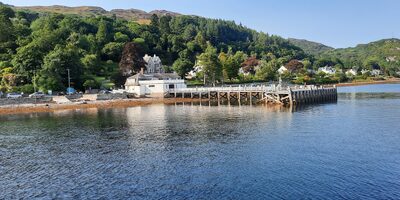
Allow four or five days. It was known as the Cowal Way until 2018. The path is signed all the way, and the hill sections in the north are the hardest, especially after rain. It meets the West Highland Way at the far end, if you want to keep going.
15 · A circuit from Blairgowrie · 64 miles
Cateran Trail
The caterans were cattle thieves who raided these glens from the Middle Ages to the 1600s, and this circular walk follows old drove roads through their country. It loops through Strathardle, Glenshee and Glen Isla, in Perthshire and Angus, by way of Kirkmichael, the Spittal of Glenshee and Alyth.
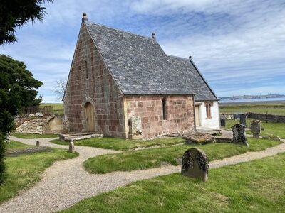
Most people start in Blairgowrie and take five days. It’s well signed, with one long climb and nothing very steep, and the highest point is about 650 metres. If you only have a weekend, the Mini Trail is a 20-mile loop of the northern end from Kirkmichael.
16 · Grantown-on-Spey to Forres · 24 miles
Dava Way
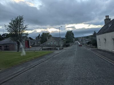
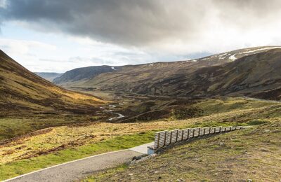
The shortest walk here follows an old railway line across Dava Moor, from Grantown-on-Spey to Forres. The Highland Railway opened it in 1863 and the trains stopped in 1965. Volunteers turned it into a path, which opened in 2005, and they still look after it.
Because it was built for trains there are no steep climbs, though the moor is high and open, so go prepared for the weather. The Divie Viaduct is the sight to look out for. You can walk it in one long day or two shorter ones, and it links with the Speyside Way and the Moray Coast Trail to make a much longer round.
17 · Vatersay to Stornoway · 156 miles
Hebridean Way
The Hebridean Way crosses ten islands, six causeways and two ferries on its way up the Outer Hebrides, and there is nothing else like it. It starts on Vatersay, in the south, and works north through Barra, Eriskay, the Uists, Benbecula, Berneray and Harris to finish at Lews Castle in Stornoway.
Walk it south to north and the wind should be at your back. The route is signed and never climbs very high, but it’s long, often wet underfoot and open to the weather, with little shelter. Allow about twelve days. A separate route for cyclists runs 185 miles to the Butt of Lewis.
18 · Rubha Hunish to Broadford · 80 miles
Skye Trail
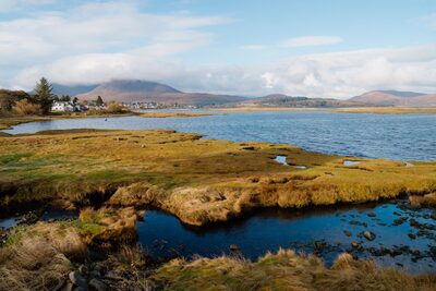
The Skye Trail is unofficial. There are no signs, and in places there is no path, so it is one for experienced hillwalkers who can find their own way with a map and compass. It begins at Rubha Hunish, the northern tip of the island, and follows the Trotternish Ridge past the Quiraing and the Old Man of Storr to Portree.
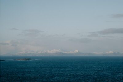
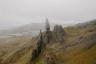
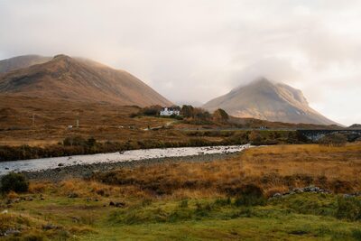
From there it heads south through Glen Sligachan, between the Black Cuillin and the Red Hills, and finishes in Broadford. It takes about a week. The ridge is long and exposed, so wait for good weather. Early May is a popular time to go, before the midges.
-listable-card-1717074000.jpg)
19 · Inverness to John o’ Groats · 147 miles
John o’ Groats Trail
This is a young route, begun in 2015 and still being built by volunteers. It follows the coast north from Inverness for 147 miles, through Tain, Dornoch, Golspie, Brora and Helmsdale, and on along the cliffs of Caithness by Dunbeath, Lybster and Wick to John o’ Groats.
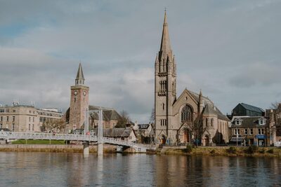
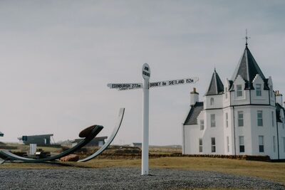
Some stretches are good, popular paths. Others are rough and pathless, with fences and burns to cross. Each stage is graded green, amber or red on the trail’s website, so you know what to expect. Allow nine to fourteen days, take boots and a map, and check the website for the latest on each stage before you go.
20 · Fort William to Cape Wrath · about 230 miles
Cape Wrath Trail
Many walkers call this the toughest long walk in Britain. It runs from Fort William to the lighthouse at Cape Wrath, the far north-west corner of the mainland, and it isn’t a marked trail at all. There are no signs and no single route, only a line through Knoydart, Torridon and Assynt that you find for yourself, over rough, boggy ground and rivers that can’t be crossed after heavy rain.
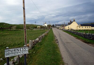
It takes two to three weeks, and it is for experienced backpackers only. The last miles cross a military range, so check the firing times before you go. From May to September a minibus and a small ferry can take you from the cape back to the road near Durness.
 Out now
Twice a year, to your door
One hundred and sixty pages of Scotland, every photograph commissioned, every word written by someone who went. Members get both issues posted and everything on screen.
 New Town Walking Tour
 The Best Walks in the Cairngorms