

The Devil’s Staircase
The zigzag path from Altnafeadh up to 550 metres, the highest point of the West Highland Way, with the Buachaille behind you.
The Devil's Staircase is the zigzag path that climbs from Altnafeadh on the A82, at the head of Glen Coe, to the highest point of the West Highland Way, which the Way's own site gives as 550 metres.
Walkhighlands describes fabulous views of the Glencoe mountains on a clear day, with the Buachaille behind you and the Mamores to the north.
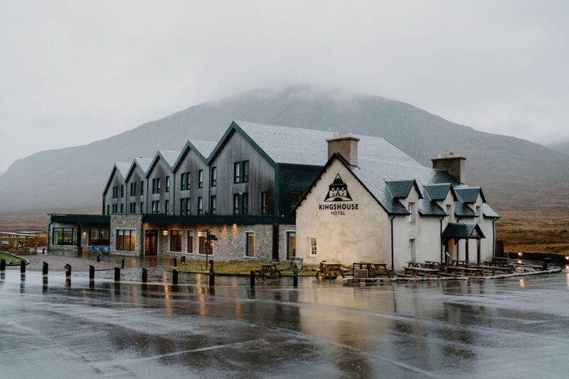
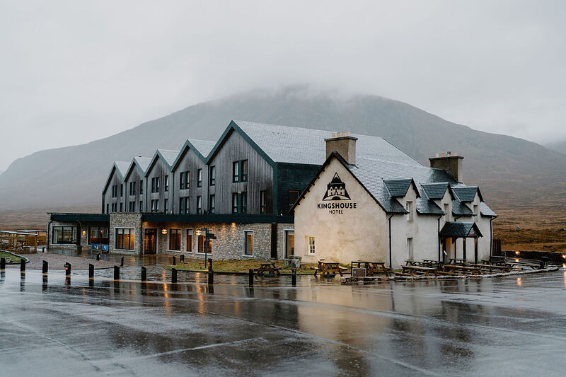
The path follows the line of the old military road. Discover Glencoe says the name was first given by the soldiers building General Wade's road, and that it was kept alive by the men who built the Blackwater dam above Kinlochleven and walked over to the Kingshouse Hotel after pay day. From the top the Way crosses moorland and drops to Kinlochleven, about nine kilometres and three hours from Altnafeadh by Discover Glencoe's reckoning. This is a steep climb onto high ground that can be very exposed in poor weather, so check the mountain forecast and carry a paper map and compass as well as your phone.
The Daily
Arrives at 5am every day.
A free morning email to see what’s on this week, catch up on what’s happening in Scotland and find somewhere new to go.
This is a steep climb onto exposed high ground.
Check the mountain forecast first, carry a map and compass, and go prepared.
- Where
- The path starts at Altnafeadh on the A82 in Glen Coe, grid reference NN220563, where a signpost points the West Highland Way over to Kinlochleven.
- The walk
- Discover Glencoe gives Altnafeadh to Kinlochleven as 6 miles (9 km) and about 3 hours, one way, so you need a car at each end or a taxi back. It also describes a shorter walk from the top of the pass, up Stob Mhic Mhartuin for a further rise of about 150 m, returning the same way. Walkhighlands gives the whole stage from the Kings House to Kinlochleven as 14 km, 4 to 5 hours and 430 m of ascent, with the summit at 550 m.
- Hill safety
- The West Highland Way describes the path as good underfoot, stony in places, and very exposed in poor weather, especially on the moorland section before Kinlochleven. Walkhighlands calls the climb steep, the high-level section exposed in poor weather, and the ground beyond the top rough. Its safety page advises checking the mountain forecast and carrying a paper map and a compass, and notes that a phone or GPS cannot read the map for you.
- Open
- An open path with no set hours.
- Price
- No charge for the walk or the lay-by is listed by Discover Glencoe or the West Highland Way.
- Parking
- Discover Glencoe gives the lay-by on the A82 at Altnafeadh, or the side of the access road opposite.
- Getting there
- Walkhighlands lists Citylink buses between Glasgow and Fort William on the A82 by the Kings House, and local buses to Kinlochleven. Discover Glencoe suggests your own car with a taxi to bring you back to the start.
- Access
- A stony hill path that climbs steeply in zigzags; it is not a step-free walk.
- Food
- The West Highland Way lists refreshments and toilets at Kinlochleven, at the end of the stage.
Been here? Tell others what you know, and the best go on this page with your name.
Add your reviewAt Altnafeadh on the A82 at the head of Glen Coe, where the West Highland Way turns north to climb to the pass.
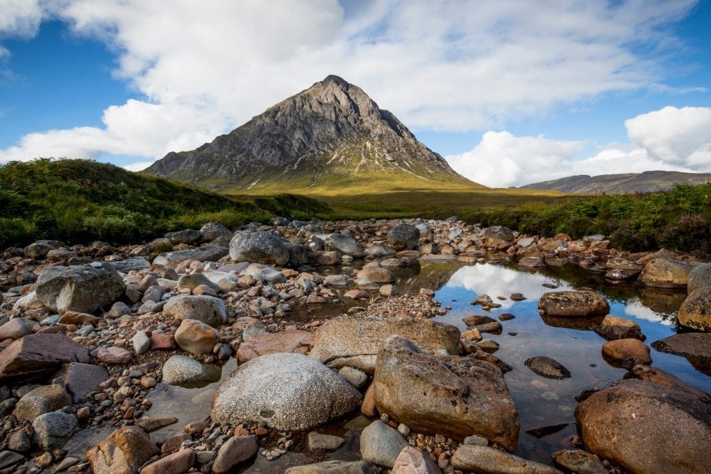 Buachaille Etive MòrThe rock pyramid at the head of Glen Coe, where it meets Glen Etive, and one of the best known and best loved of all the Munros.Under a mile 1 min by road
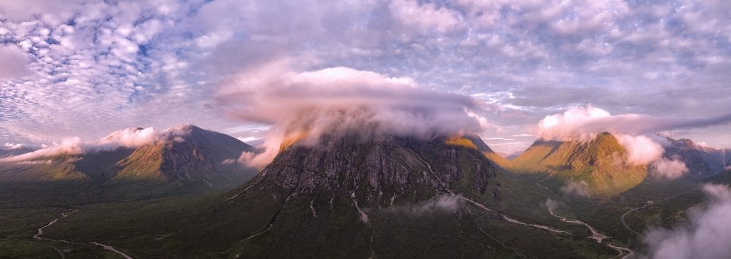 Buachaille Etive Beag1 mile 2 min by road
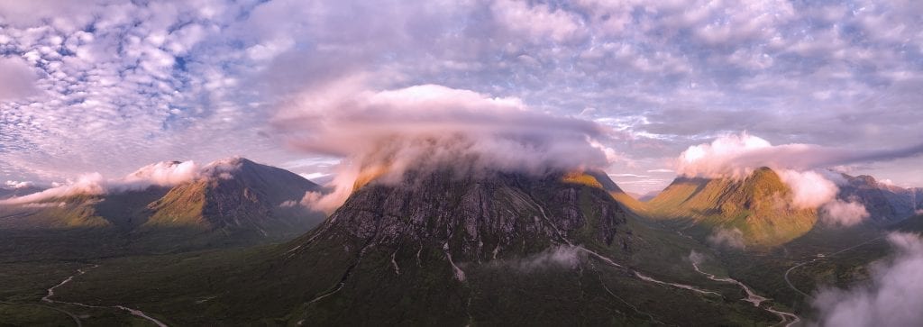 Hill walk all around Buachaille Etive BeagThe hill walk route goes all around Buachaille Etive Beag (means Small Herdsman of the Etive).1 mile 2 min by road
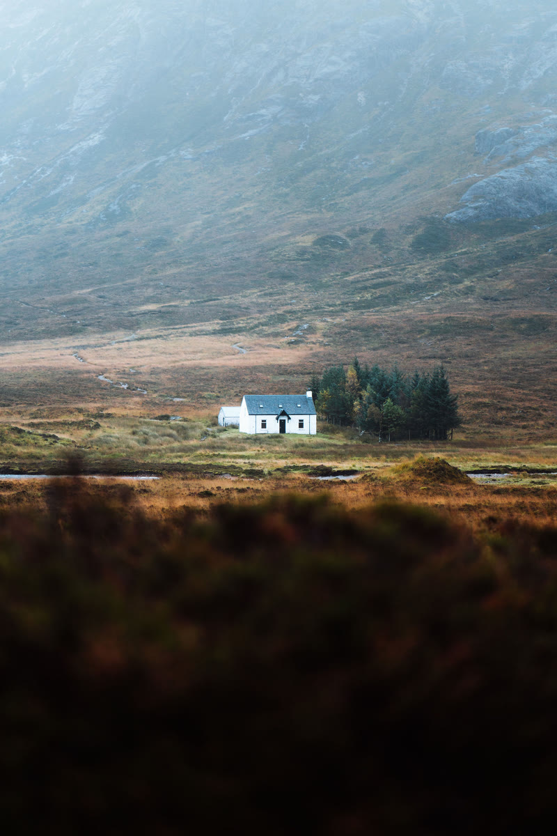 LagangarbhA small white climbers' hut at the foot of Buachaille Etive Mor at the head of Glen Coe, one of the most photographed buildings in Scotland.3 miles 4 min by road
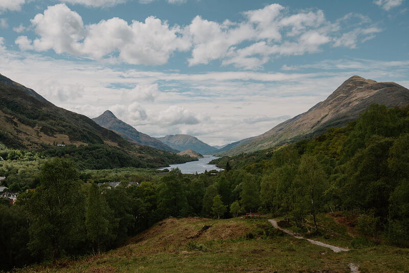 KinlochlevenThe aluminium village at the head of Loch Leven, now a stop on the West Highland Way and a base for the Mamores.16 miles 21 min by road
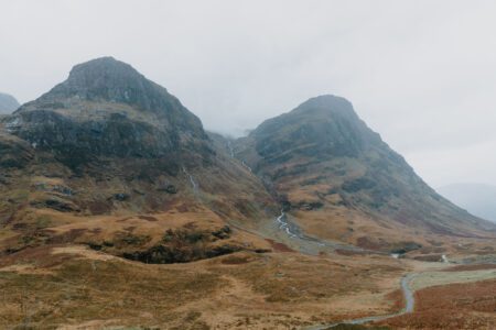
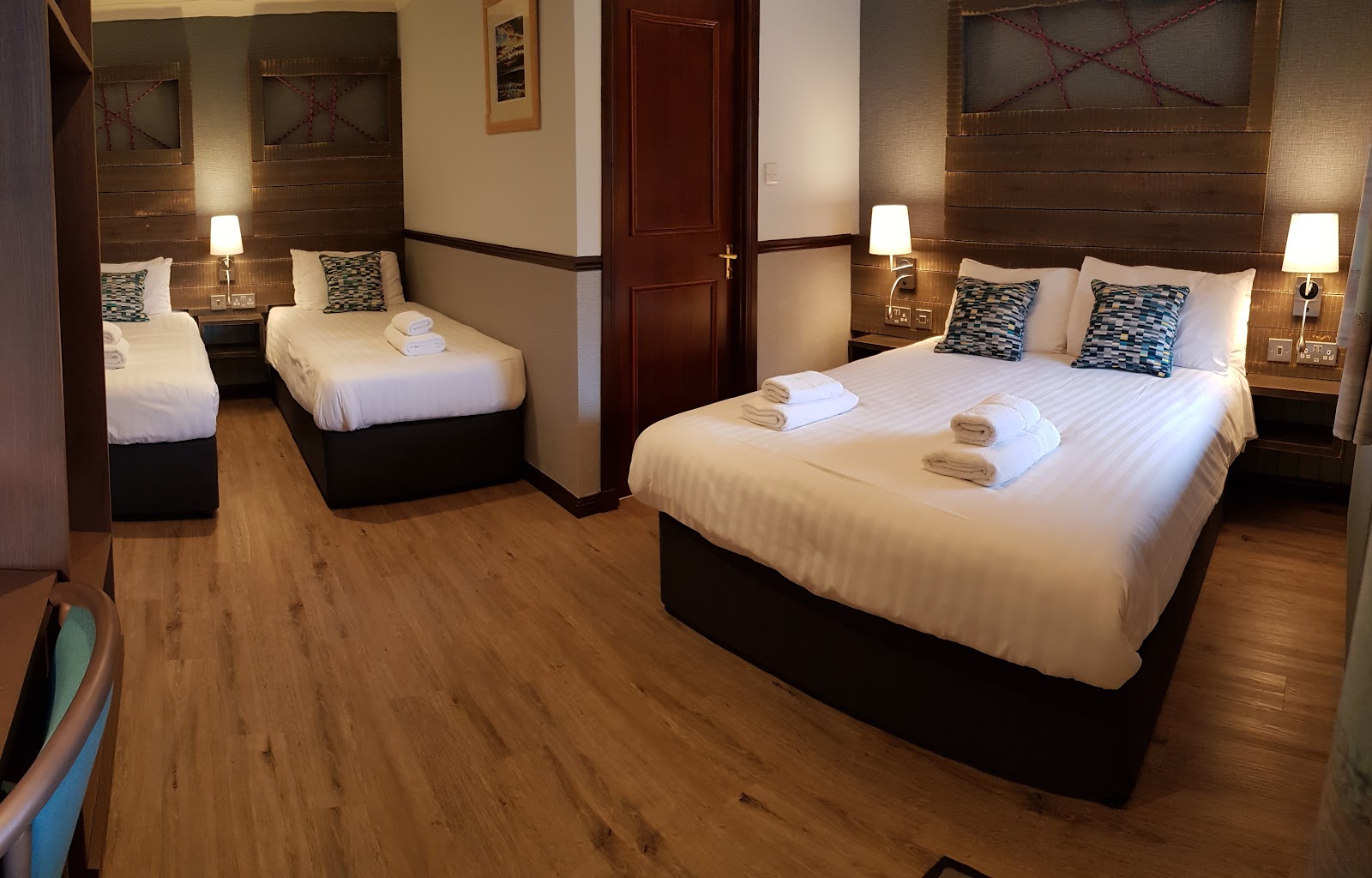
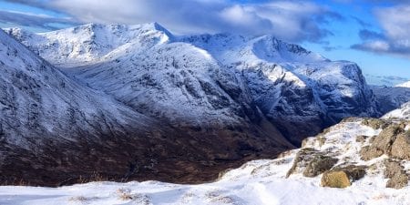
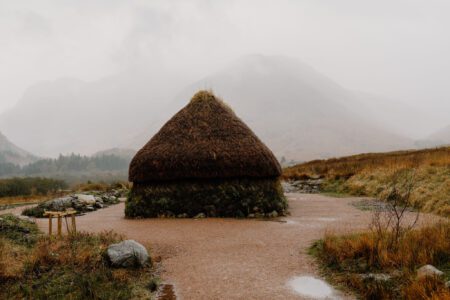
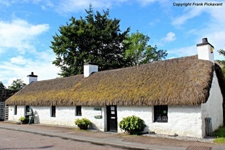
Places to stay near the staircase, and when each is next free.
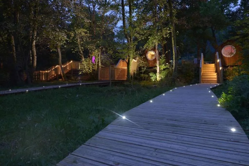 RiverBeds at Woodlands Glencoe
- Sleeps 2
- In Ballachulish
- 11 miles from the Staircase
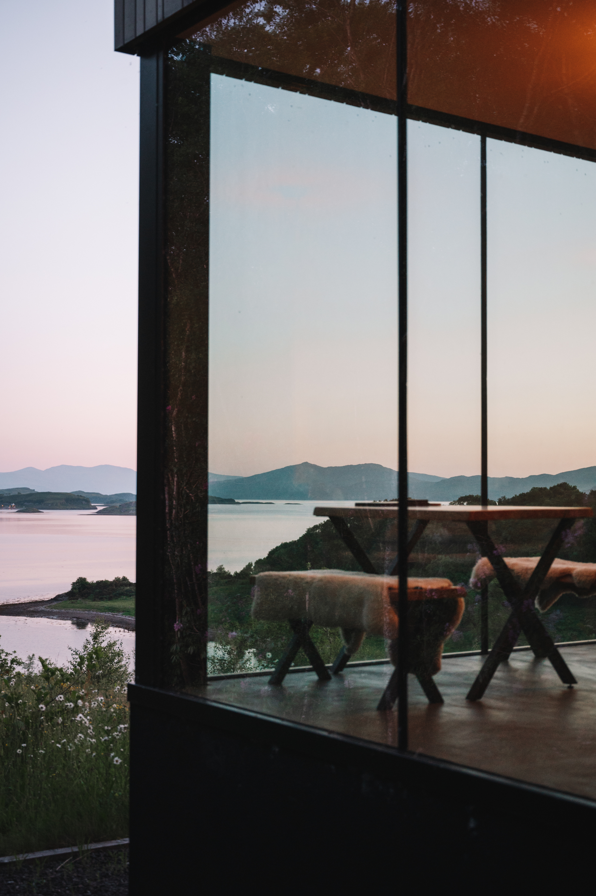 Stormhouse South
- Sleeps 2
- In Appin
- 19 miles from the Staircase
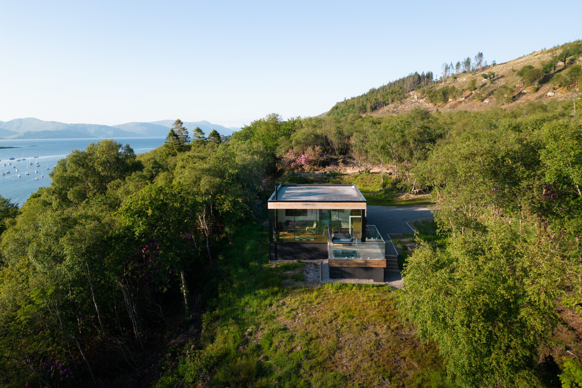 Stormhouse North
- Sleeps 2
- In Appin
- 19 miles from the Staircase
Scotland, in print.
We want to show you the best that Scotland has to offer. The makers and the creatives, the enduring experiences, the evocative tales, the concealed corners. The roads less travelled that take you to places that matter. The adventures that gather you up and sweep you away. The blend of the wild and the artistic that makes Scotland what it is. We’d love for you to join us.
For further reading, before you go. The details on this page were checked on .
- Kingshouse to KinlochlevenThe stage of the Way, with its fast facts.westhighlandway.orgWest Highland Way↗
- The Devil's StaircaseThe walk from Altnafeadh to Kinlochleven and the story of the name.discoverglencoe.scotDiscover Glencoe↗
- West Highland Way 7: Kings House to KinlochlevenThe stage in full, with distance, time and ascent.walkhighlands.co.ukWalkhighlands↗
- Safety on walksNavigation, weather and kit for a day on the hill.walkhighlands.co.ukWalkhighlands↗