Did you know
Mile nought of the Southern Upland Way.
The 212-mile coast-to-coast route starts at the north end of the inner harbour and finishes at Cockburnspath on the North Sea.
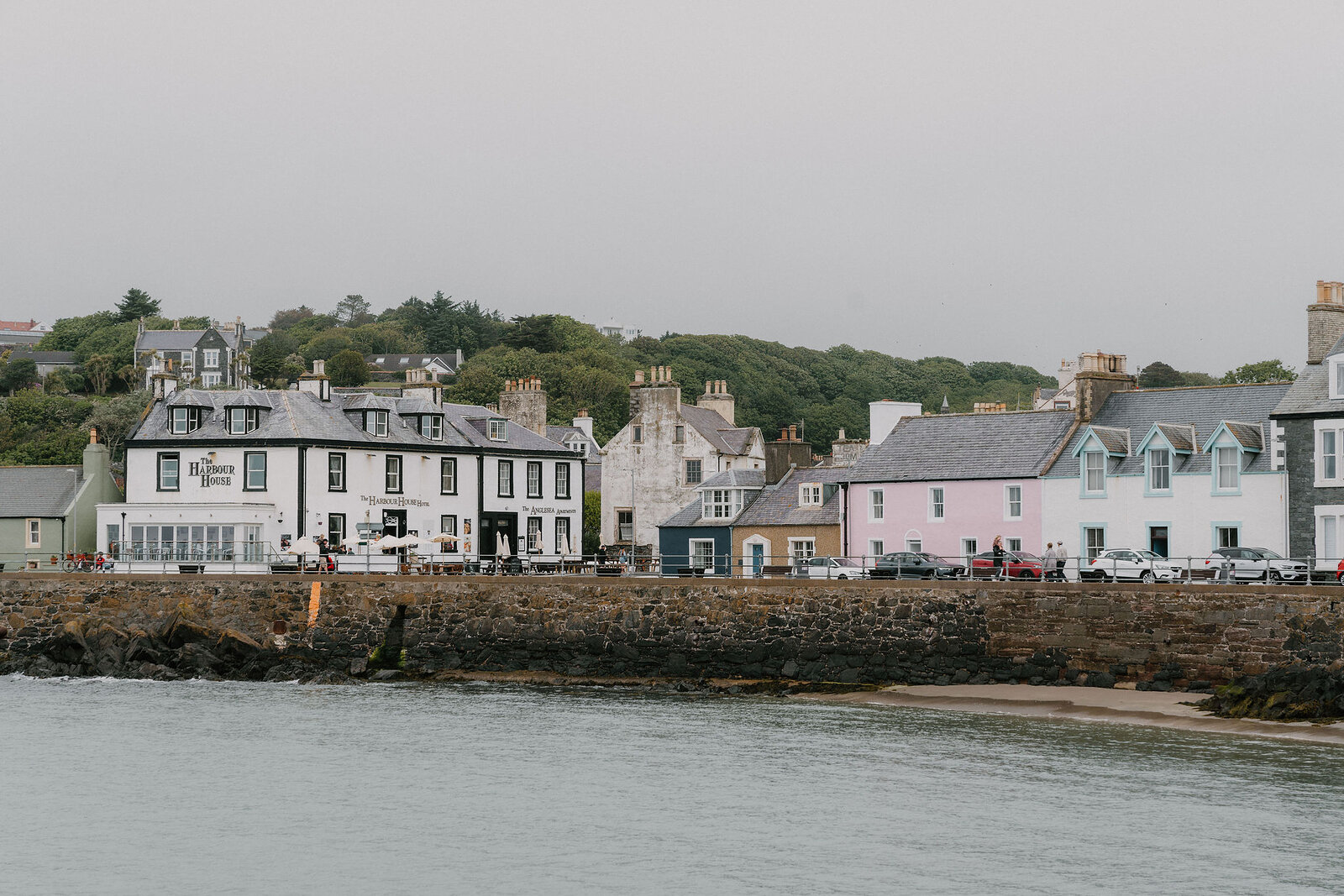
A painted harbour on the Rhins, and mile nought of the Southern Upland Way.
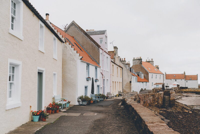
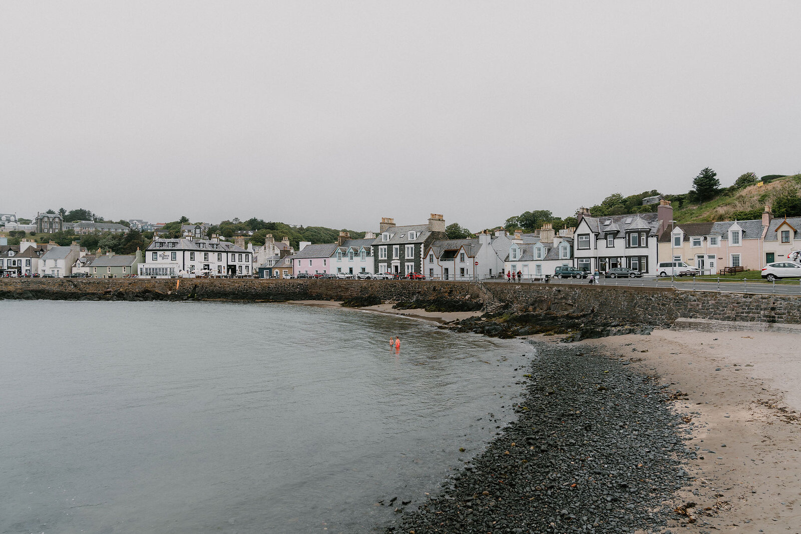
Portpatrick faces Ireland across twenty-one miles of water and looks it: a tight harbour cut into the rock, a curve of painted houses round it, and the Antrim coast visible on a clear evening.
It was the packet port for Ireland for a long time, carrying the mail and the traffic, until the westerly gales that make the place what it is proved too much for larger ships and the trade went round to Stranraer. What it kept is the harbour, the hotels and the look of somewhere that used to matter more. It is also mile nought: the Southern Upland Way starts at the north end of the inner harbour and runs two hundred and twelve miles across Scotland to Cockburnspath on the North Sea. Walkers come down the steps from the coast path all day, and a few of them are setting off on the Way.
The Daily
Arrives at 5am every day.
A free morning email to see what’s on this week, catch up on what’s happening in Scotland and find somewhere new to go.
Been here? Tell others what you know, and the best go on this page with your name.
Add your reviewThe 212-mile coast-to-coast route starts at the north end of the inner harbour and finishes at Cockburnspath on the North Sea.
Portpatrick carried the mail and the traffic to Northern Ireland until its exposure to westerly gales made it unusable for bigger ships.
The Antrim coast is visible from the harbour on a clear evening, which is nearer than Glasgow.
This pastel-coloured port on the western shore of the Rhins of Galloway boasts the kind of good looks that have been snapped up by TV show after TV show. Wrapped around a pretty harbour that gives onto the Irish Sea, it was where young couples from Northern Ireland once eloped. These days flocks of holidaymakers come to stroll the harbourside with its pubs, cafés and quirky gift shops. The walking is spectacular, taking in cliff paths, hidden bays, ancient ruins and picturesque lighthouses. On clear days you can see as far as the Mourne Mountains 56 miles across the sea.
Read moreNew places, news and stories, as we find them.
What is on in Dumfries and GallowayOn the west coast of the Rhins of Galloway, eight miles south-west of Stranraer.
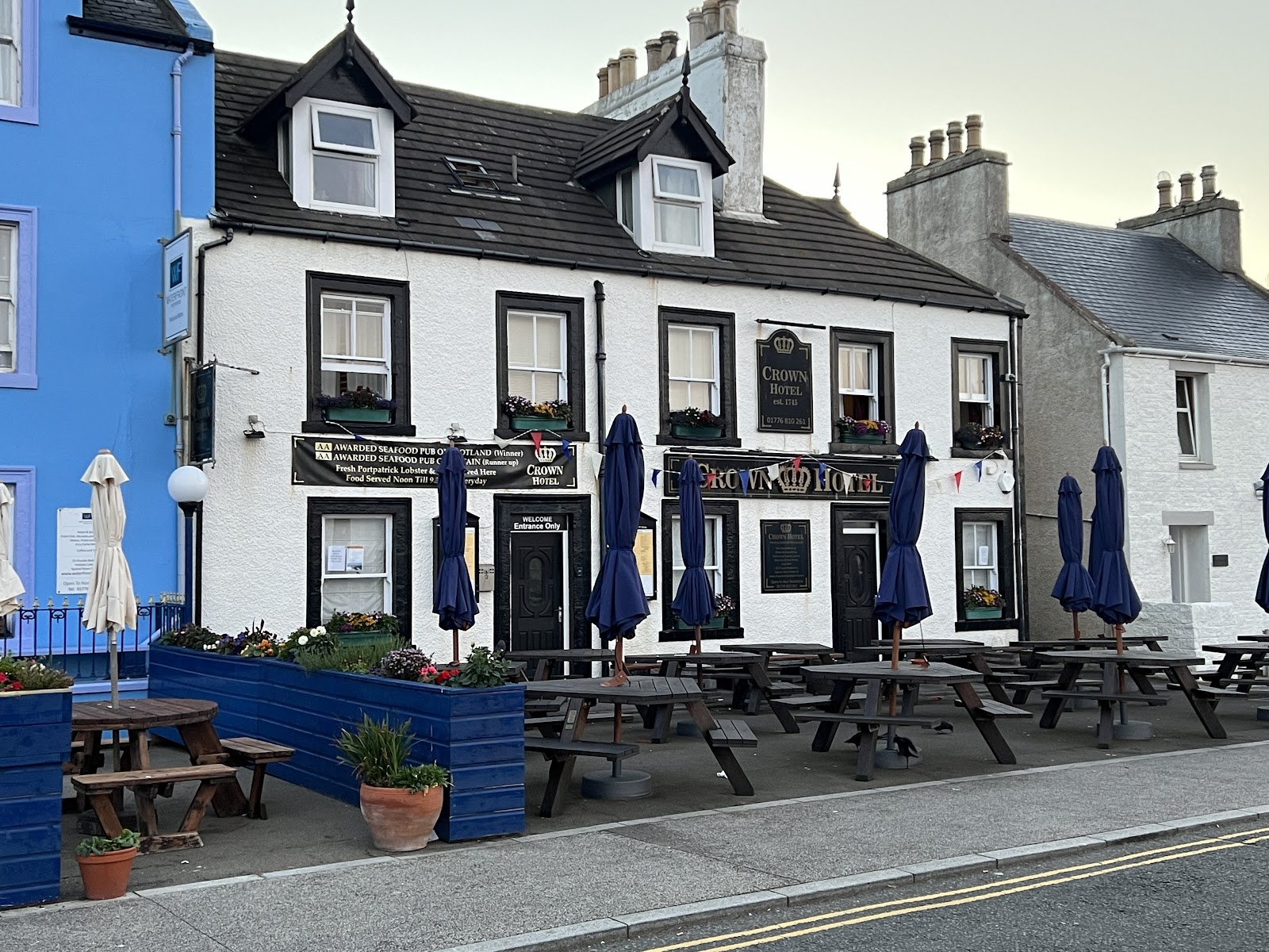 The Crown Hotel, PortpatrickA seafood restaurant and bar on North Crescent, looking over the harbour at Portpatrick.Under a mile as the crow flies
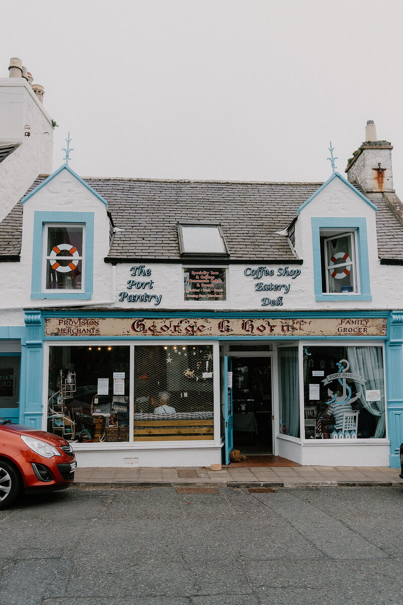 The Port Pantry, PortpatrickA café on the harbour front at 24 Main Street, Portpatrick, open every day from 9.30am for breakfast, brunch, lunch, coffee and dessert.Under a mile 1 min by road
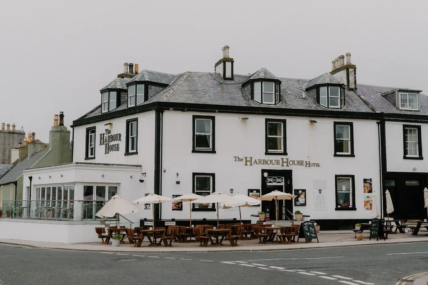
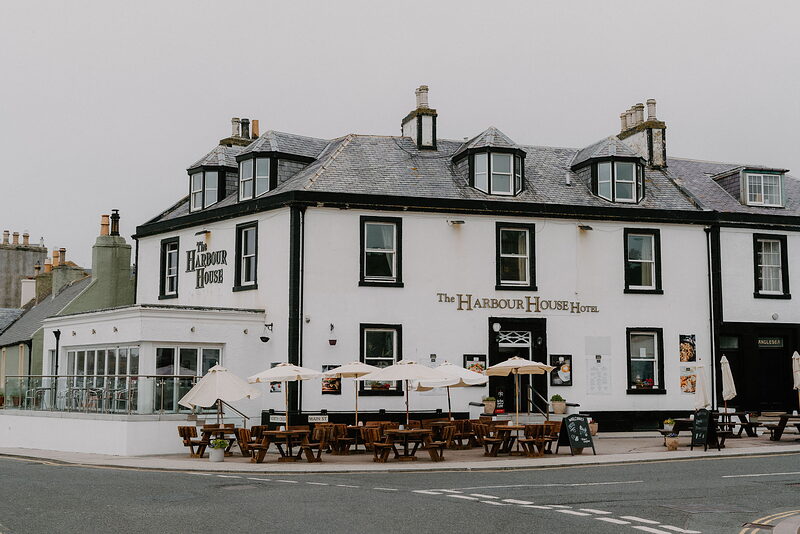 Harbour House HotelA seafront hotel on the harbour at Portpatrick, with a bar, lounge and conservatory serving local seafood all day, and dogs welcome.Under a mile 1 min by road
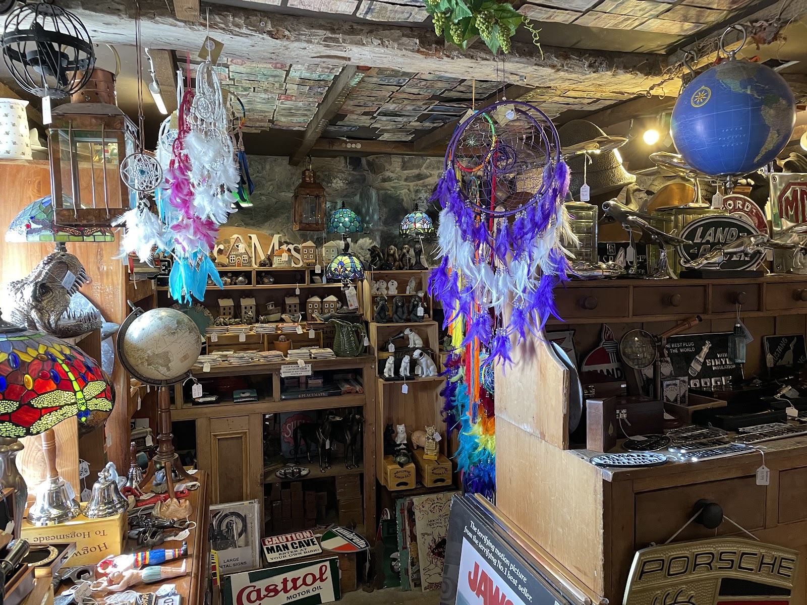 Smugglers CoveA quirky gift shop of little rooms on North Crescent in Portpatrick, crammed with souvenirs, garden ornaments, jewellery and retro finds.Under a mile 1 min by road
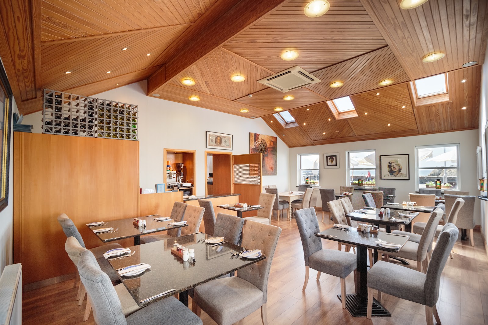 The Waterfront, PortpatrickA bistro with a harbour terrace in a small hotel on Portpatrick's harbour.Under a mile as the crow flies
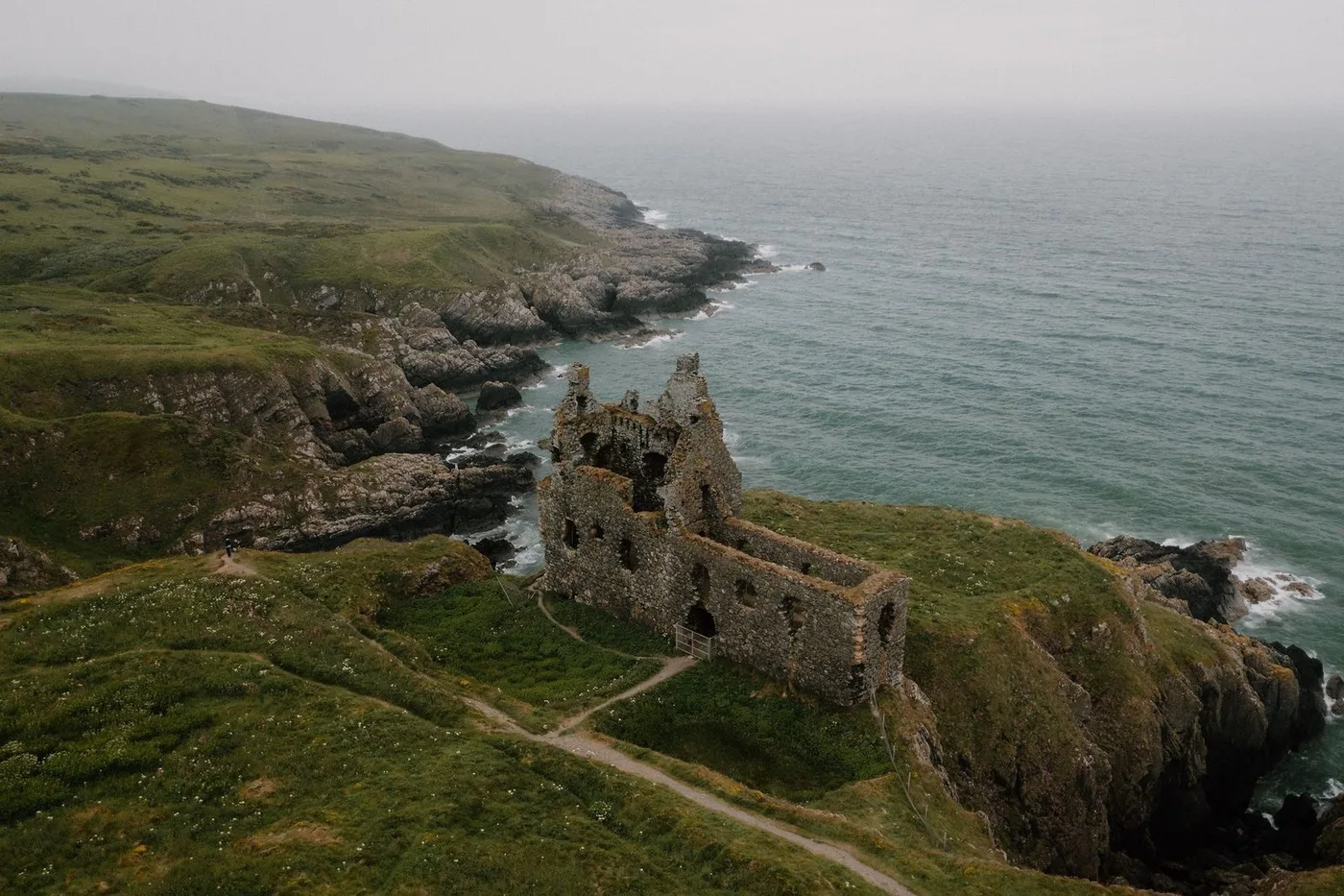
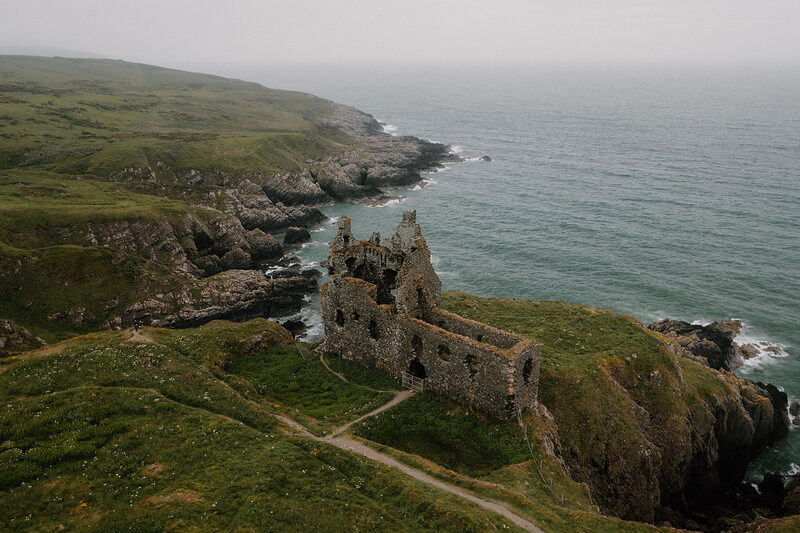 Dunskey CastleA roofless tower on the cliff edge, half an hour along the path from Portpatrick.2 miles 6 min by road
Places to stay near the village, and when each is next free.
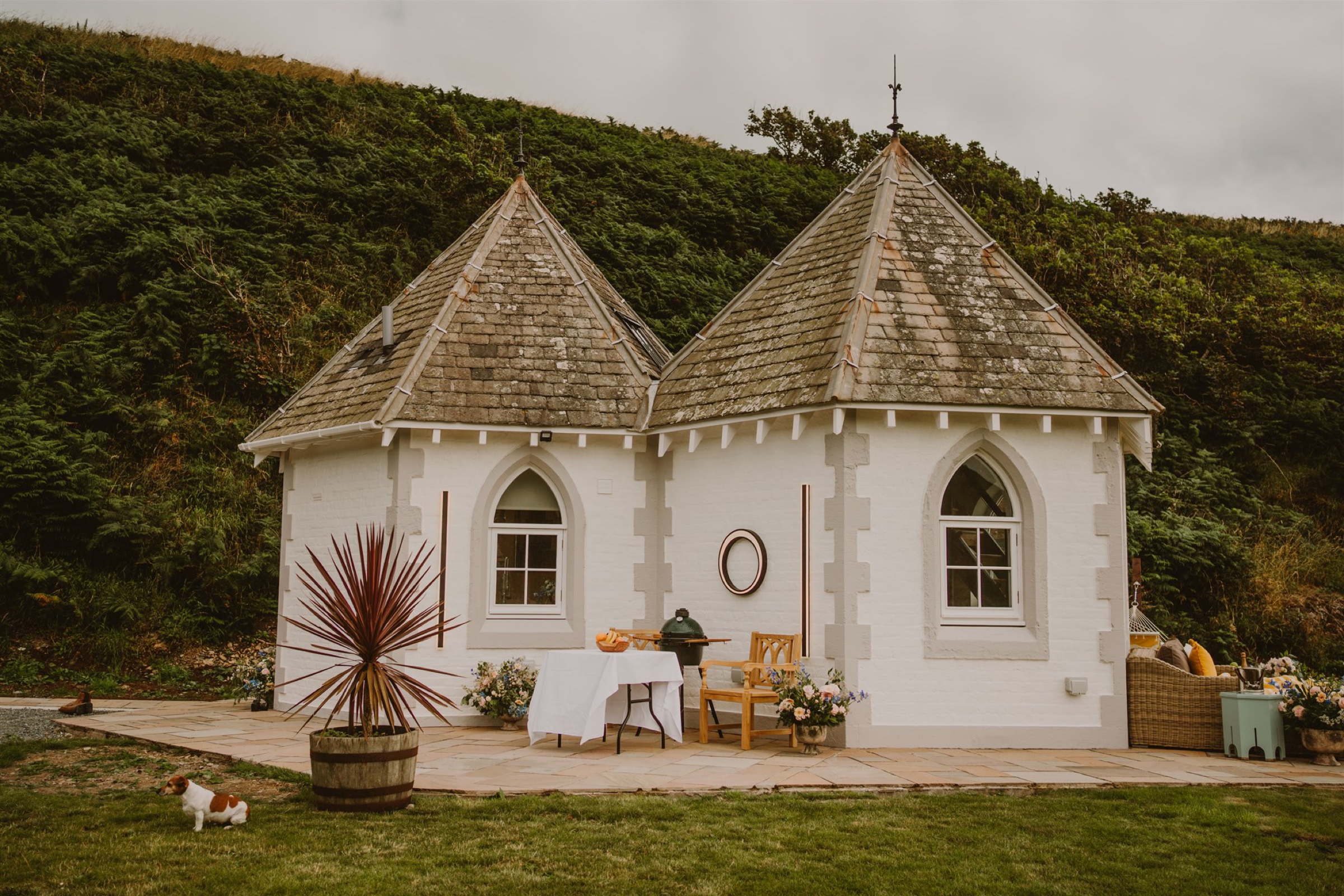 Selkie's Haven Lodge
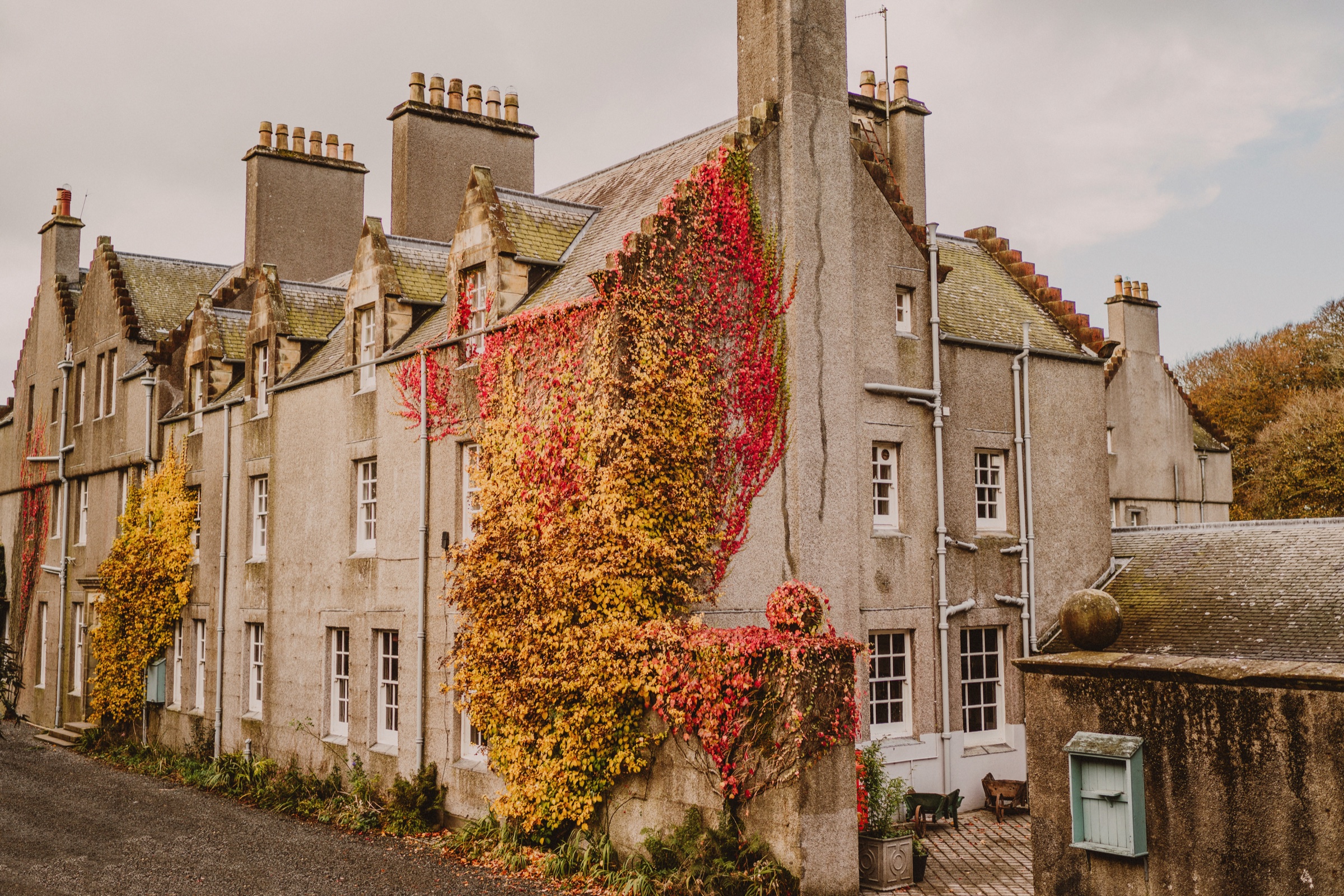 The Royal Apartment
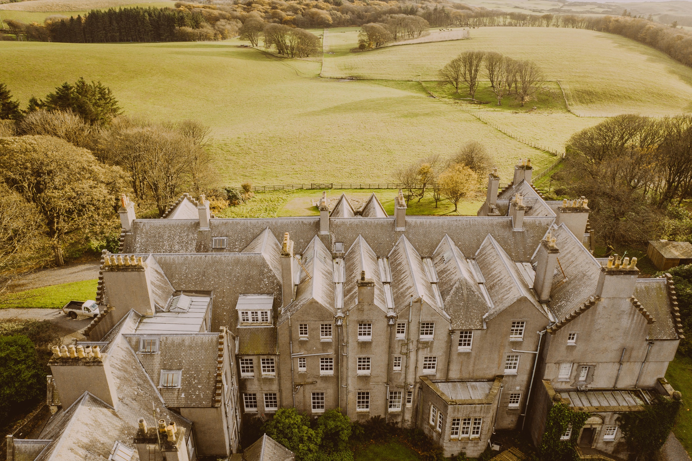 The Velvet Upperground
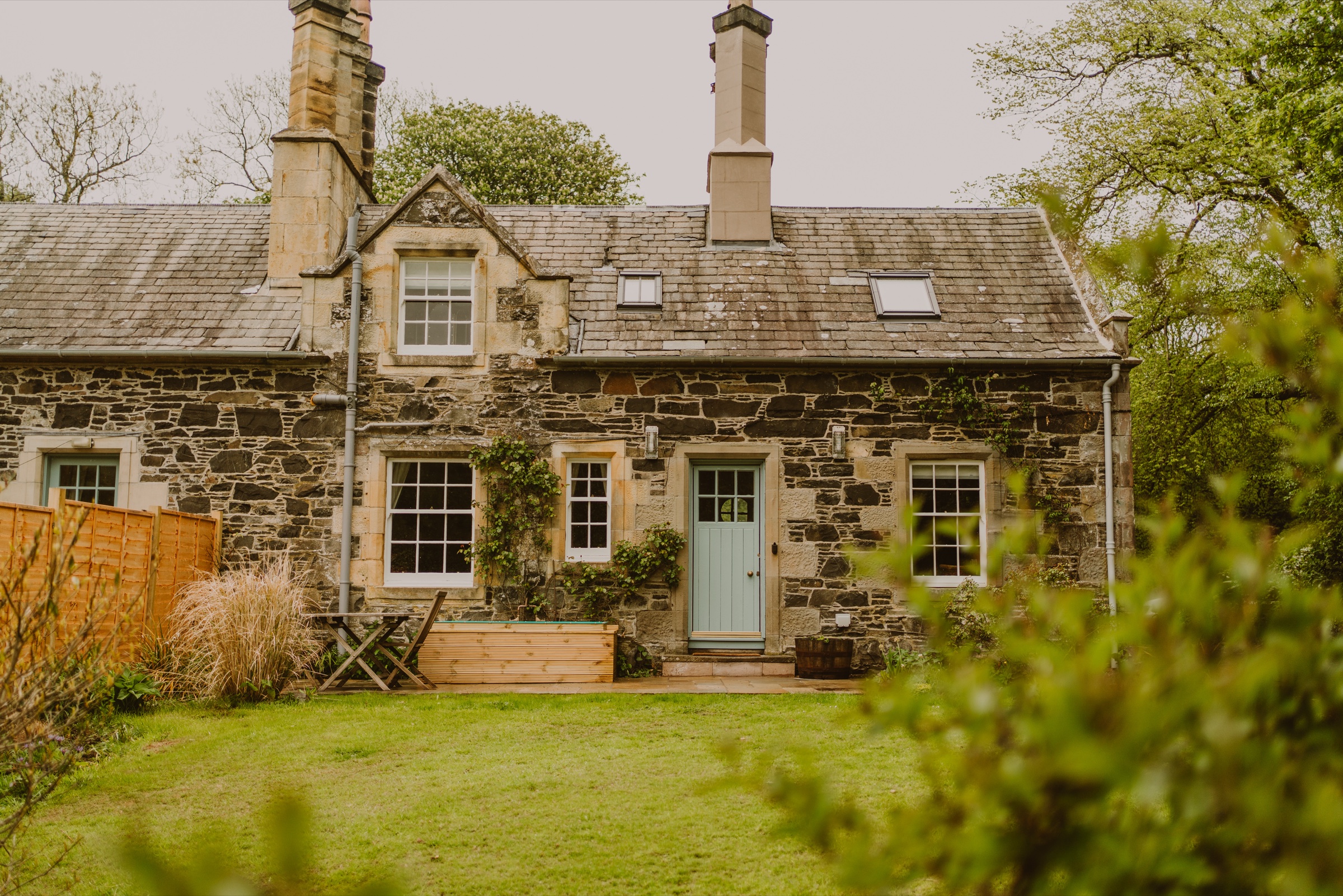 Wren's Nest
We want to show you the best that Scotland has to offer. The makers and the creatives, the enduring experiences, the evocative tales, the concealed corners. The roads less travelled that take you to places that matter. The adventures that gather you up and sweep you away. The blend of the wild and the artistic that makes Scotland what it is. We’d love for you to join us.
What we have written about it, the collections it is in and more in Dumfries and Galloway.
For further reading, before you go. The details on this page were checked on .