Did you know
A hundred metres high.
At Fancove Head the cliffs along the path rise 103 metres above the sea.
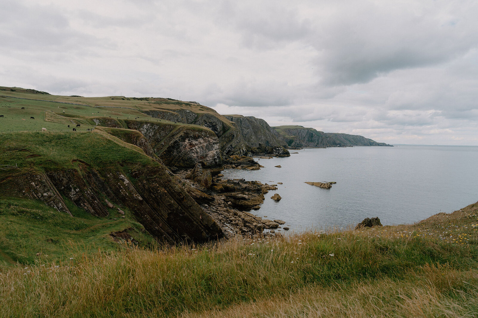
Thirty miles of cliffs, coves and fishing villages from Cockburnspath to Berwick-upon-Tweed, one of Scotland's Great Trails.
The Berwickshire Coastal Path follows thirty miles of one of the finest coastlines in Britain, from the village of Cockburnspath down to Berwick-upon-Tweed, just over the border in England.
It is one of Scotland's Great Trails, and most walkers take two to four days over it, though any stretch makes a fine day out.
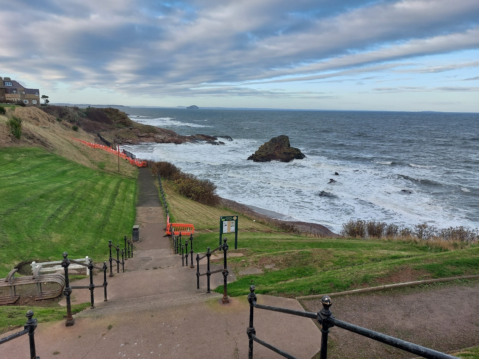
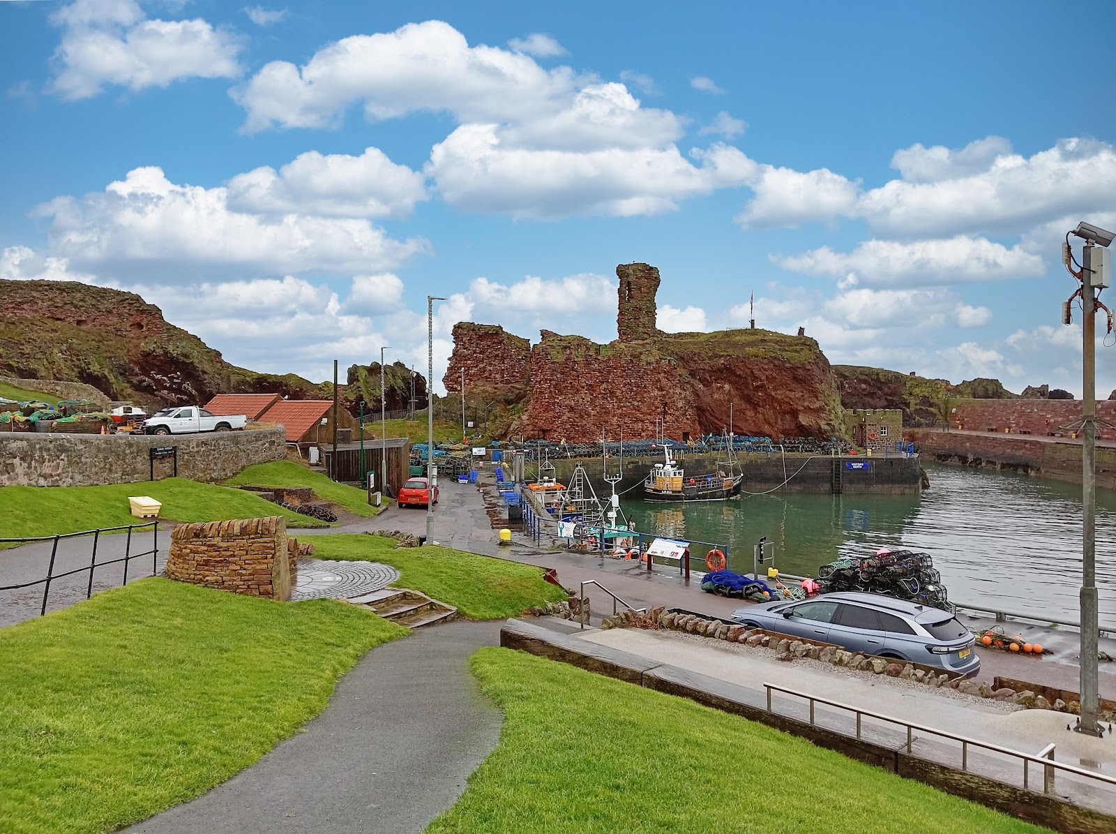
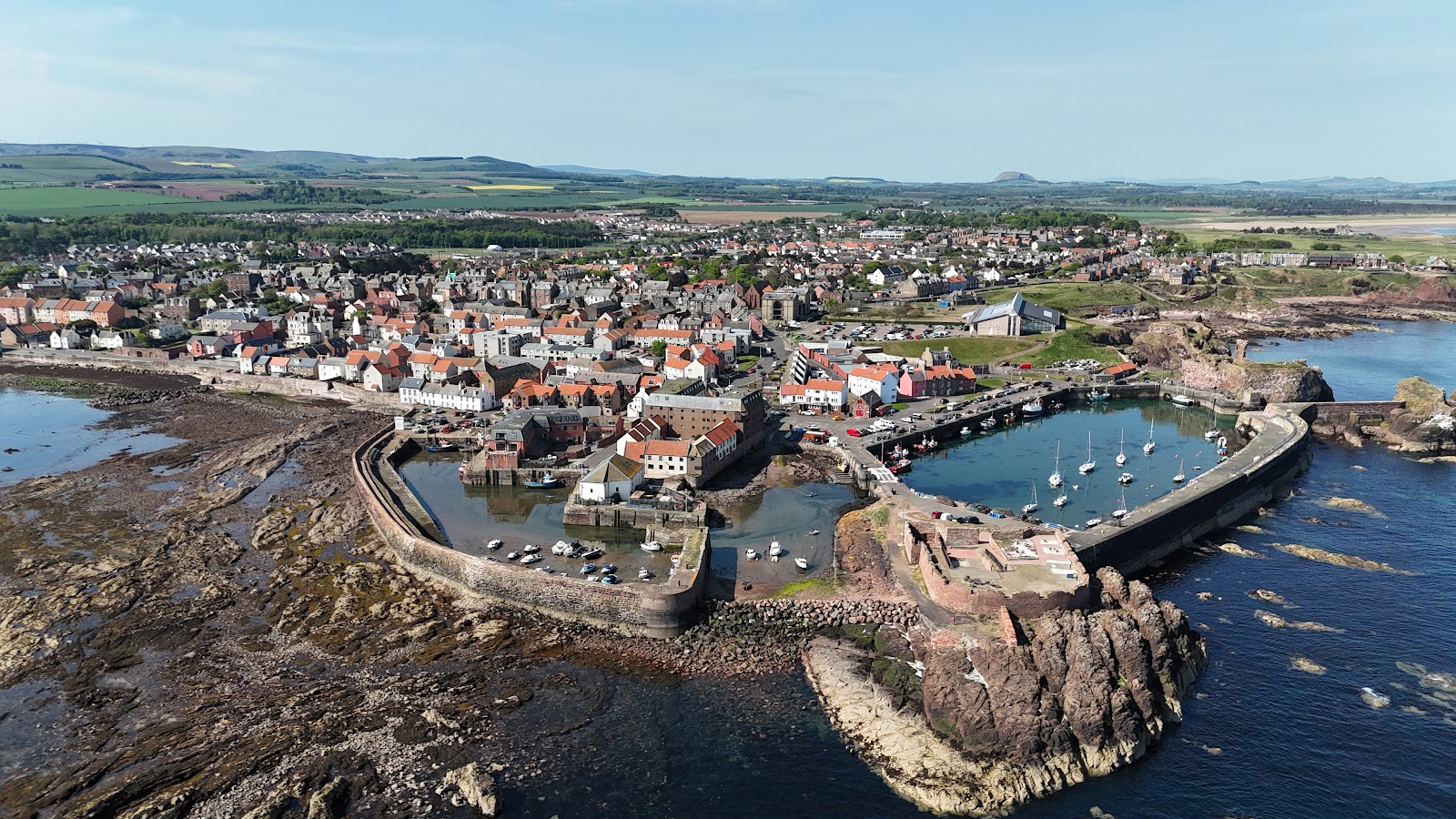
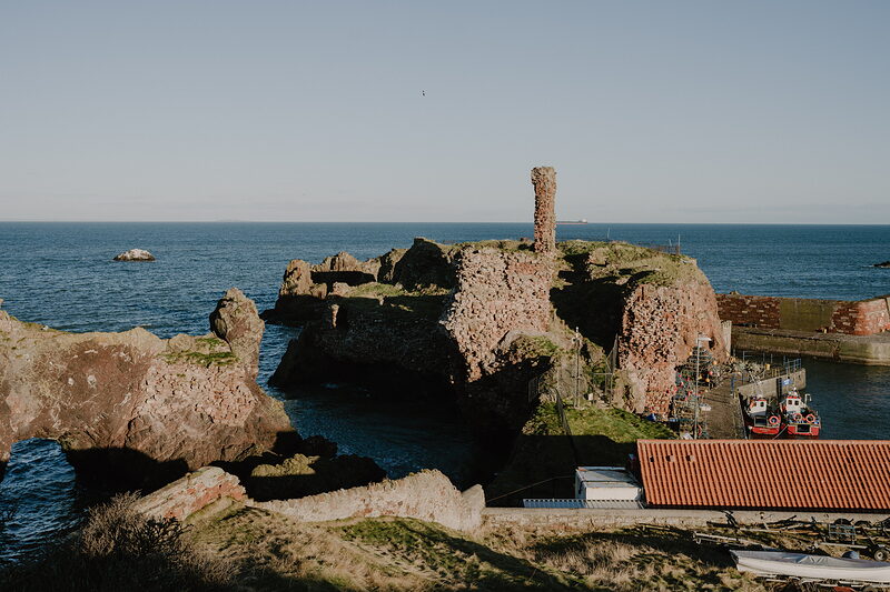
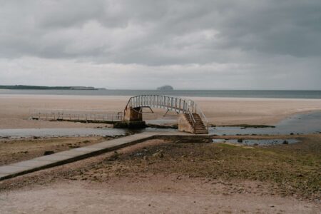
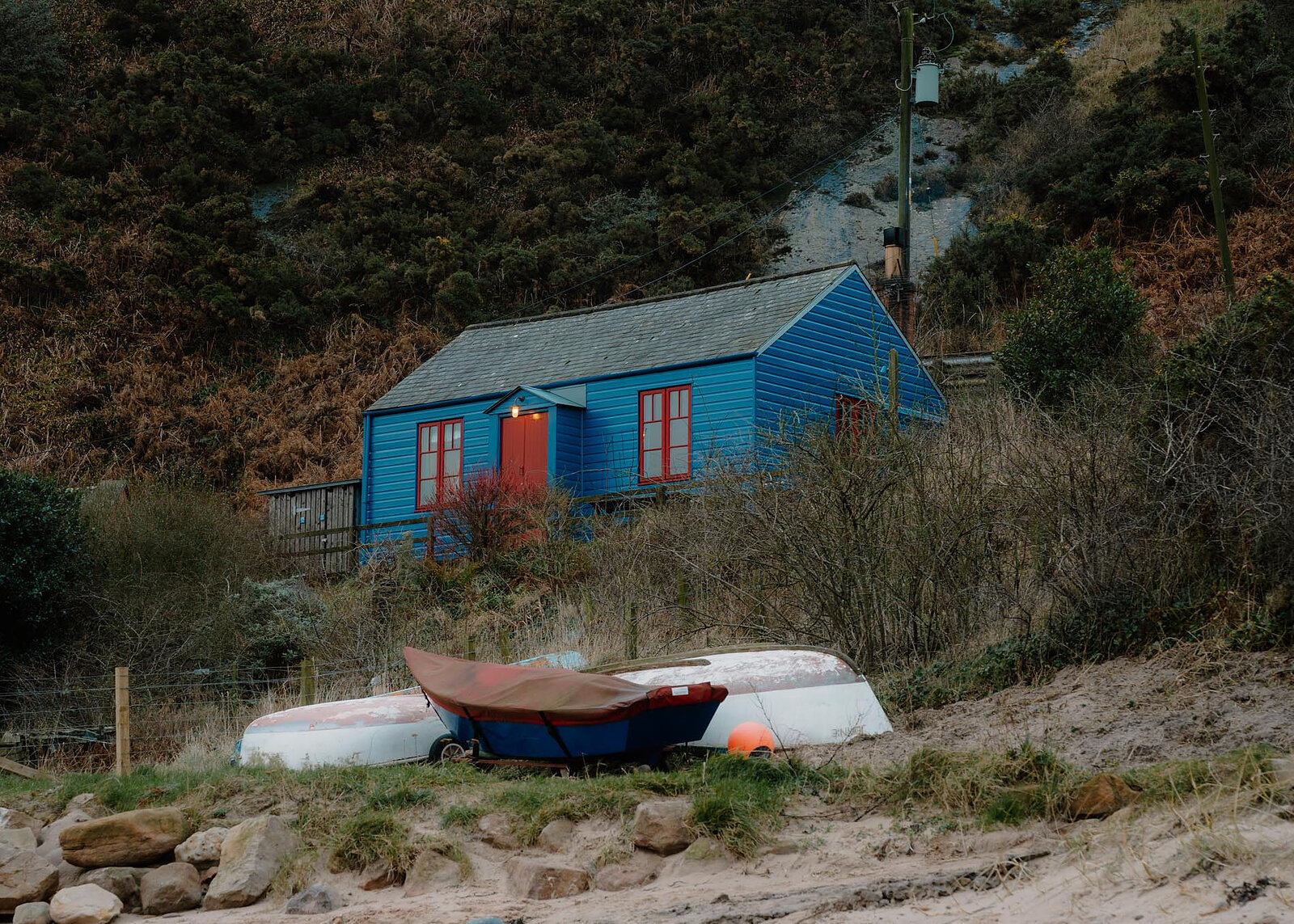
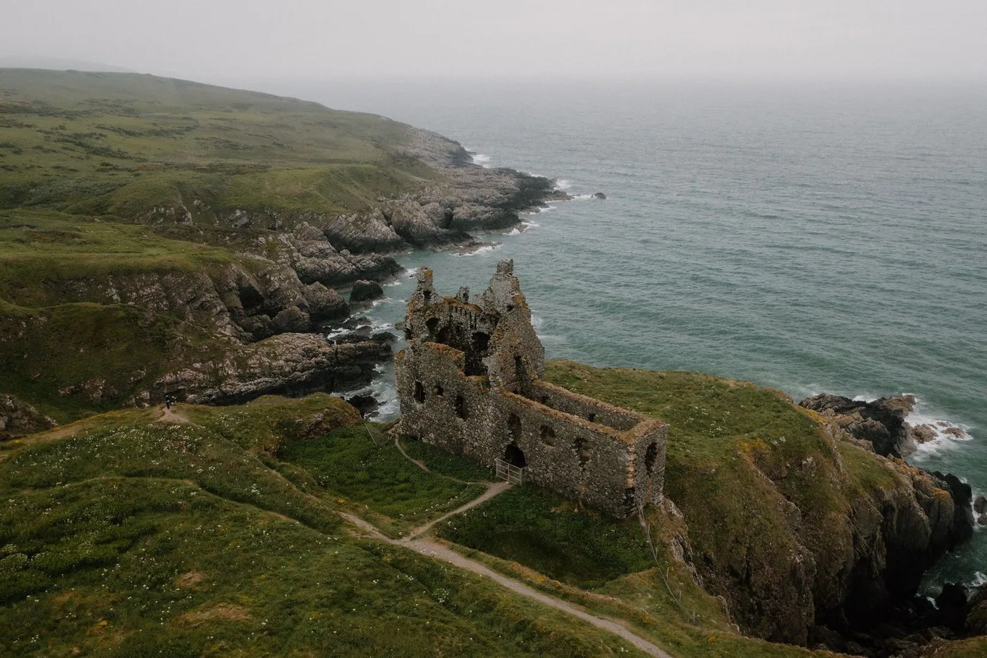
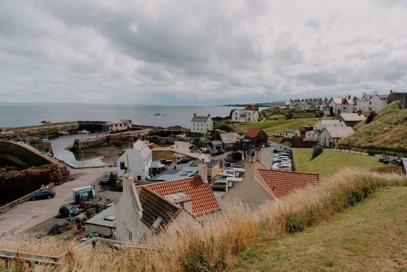
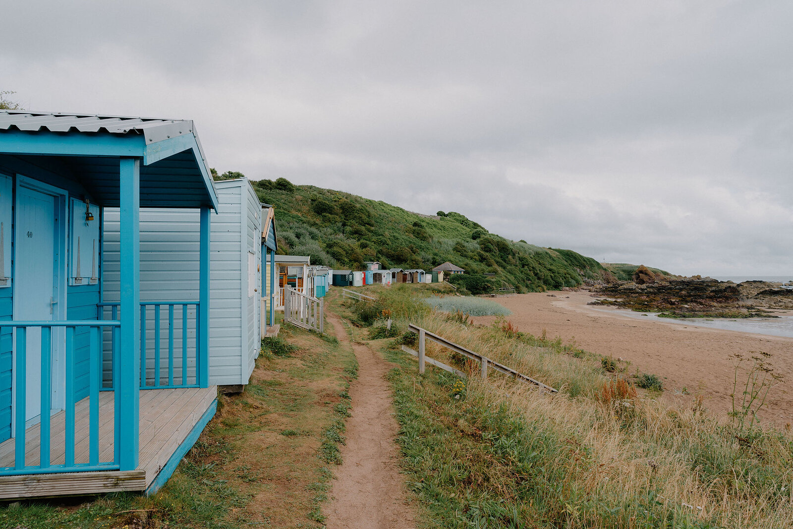
The path runs along high cliffs, past sea arches and stacks, old forts and ruined castles, with sandy bays tucked in between. It rounds St Abb's Head, a National Nature Reserve famous for its seabirds, and passes through the fishing villages of St Abbs and Eyemouth and the sands of Coldingham Bay.
The climbing adds up, so it is harder than its length suggests, and the cliff edges are unfenced. Waymarking is good, and at Cockburnspath the path meets the Southern Upland Way.
Arrives at 5am every day.
A free morning email to see what’s on this week, catch up on what’s happening in Scotland and find somewhere new to go.
A public path, open at all times.
Take care near the unfenced cliff edges.
Been here? Tell others what you know, and the best go on this page with your name.
Add your reviewAt Fancove Head the cliffs along the path rise 103 metres above the sea.
The path begins at Cockburnspath, where the Southern Upland Way reaches the east coast after crossing the whole of Scotland.
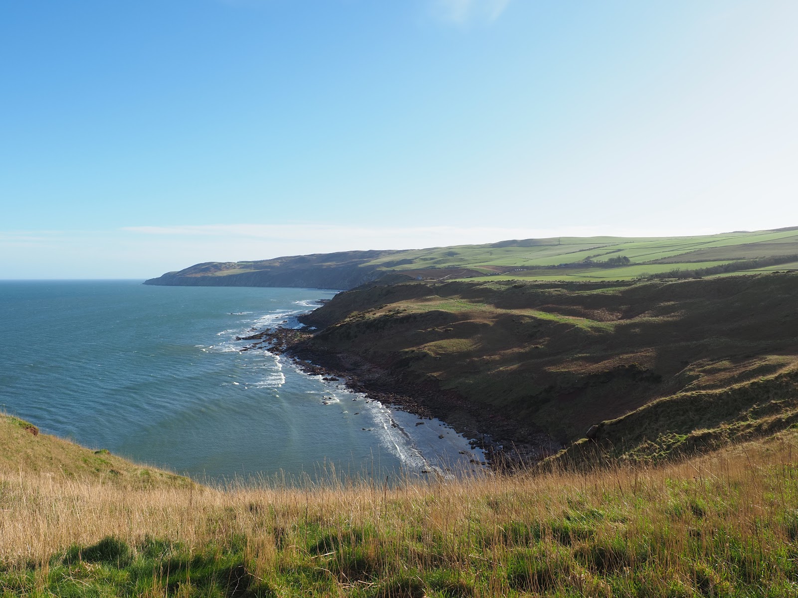
This superb 30-mile hiking path worms its way along the clifftops of the Berwickshire coast, passing castles, sea stacks, nature reserves and fishing villages. And just as enticingly for serious walkers, the northern end of the trail links directly to the famous coast-to-coast route of the Southern Upland Way.
Read moreNew places, news and stories, as we find them.
What is on in Scottish BordersThe path begins at Cockburnspath, where the Southern Upland Way ends, and finishes at Berwick-upon-Tweed. St Abbs, Coldingham and Eyemouth sit along the way.
 Siccar Point3 miles 8 min by road
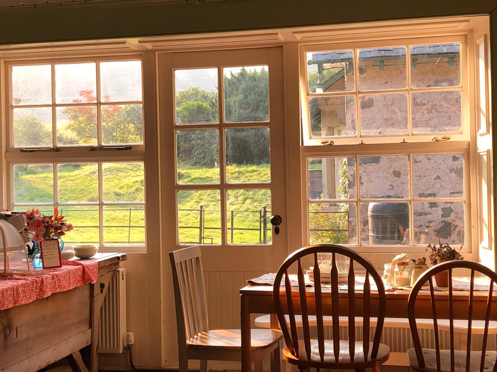 The Woodlands CaféA weekend café at Abbey St Bathans in the valley of the Whiteadder Water, for brunch, lunch and home baking on the Southern Upland Way.8 miles 28 min by road
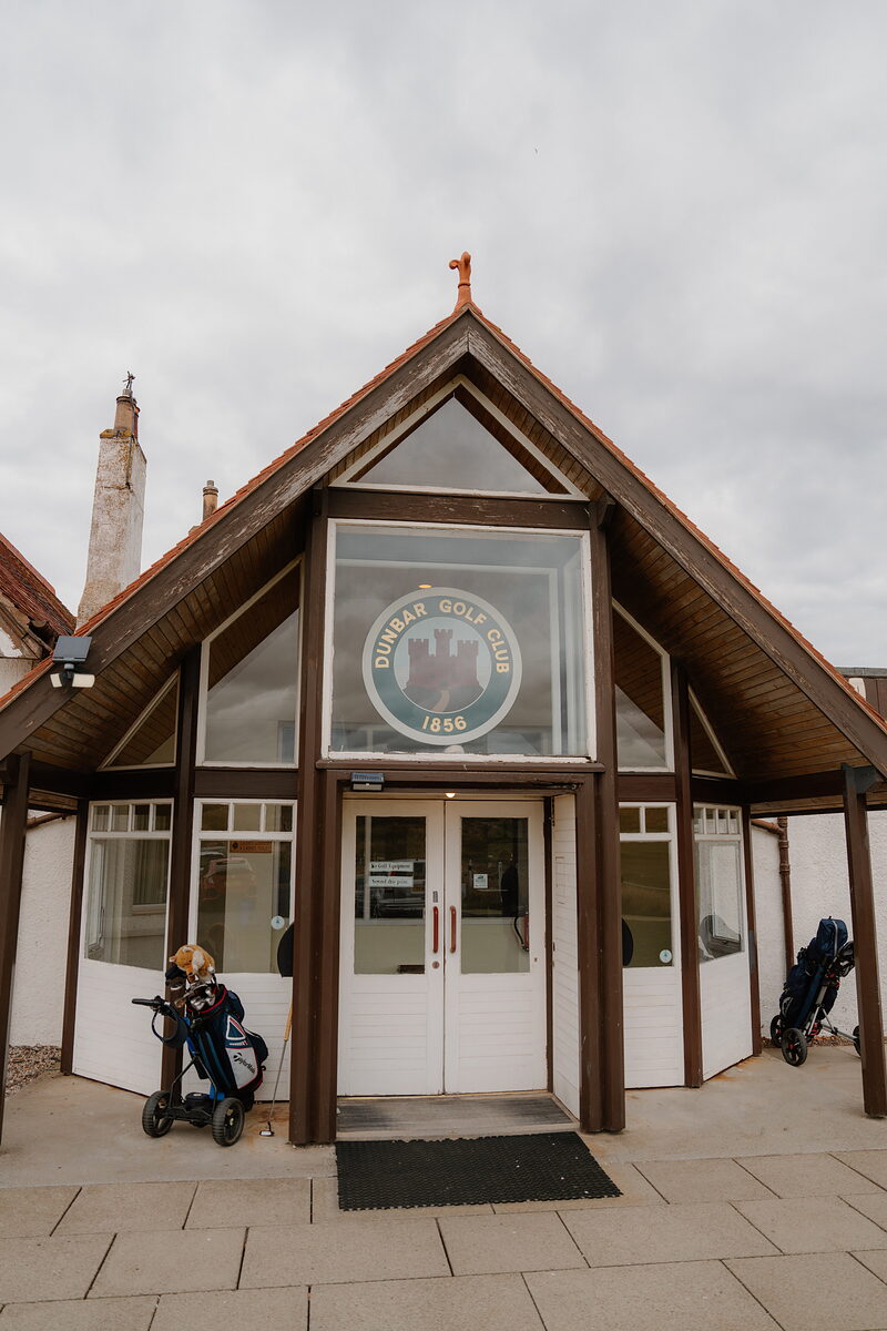 Dunbar Golf Course8 miles 12 min by road
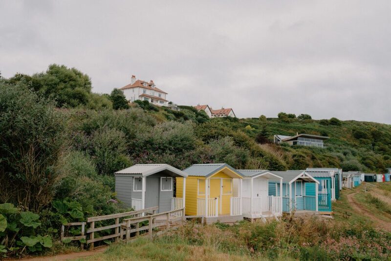
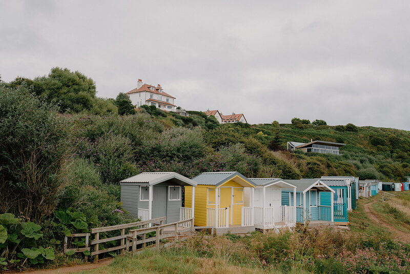 Coldingham BayA sandy bay with beach huts.10 miles 14 min by road
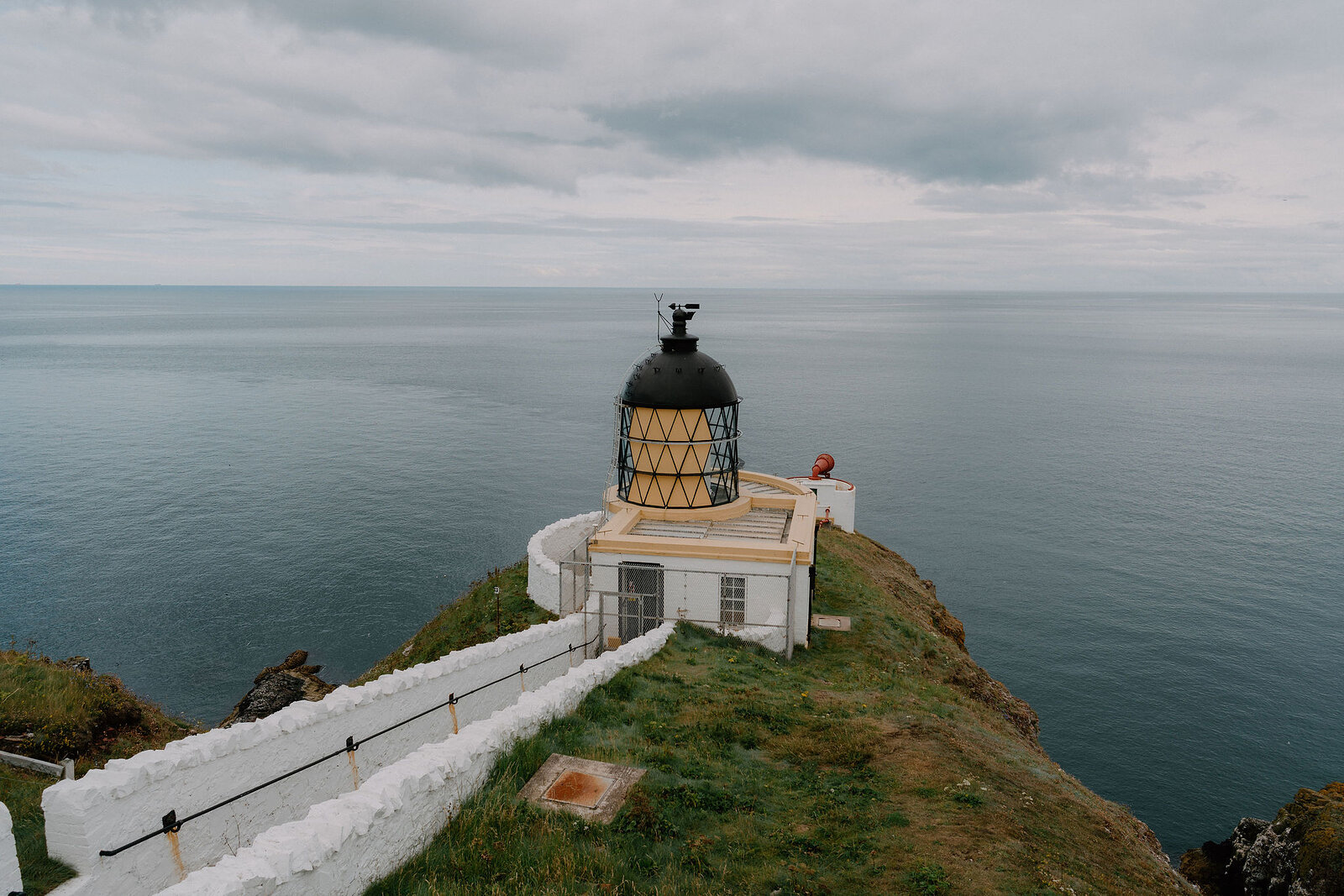
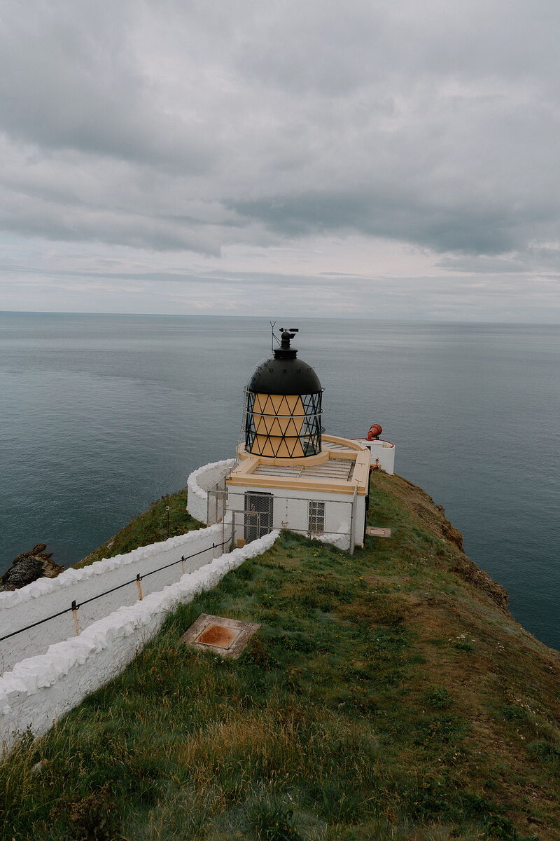 St Abb’s Head National Nature ReserveSeabird cliffs and a lighthouse.11 miles 16 min by road
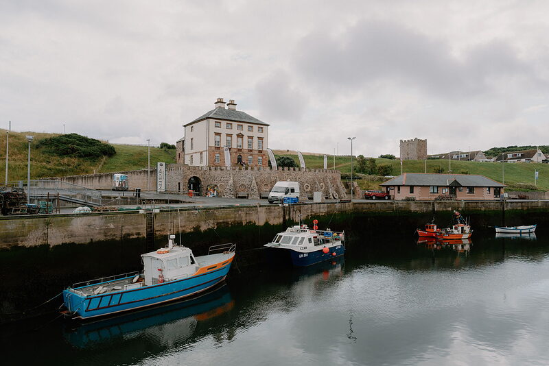 Eyemouth HarbourThe busy fishing harbour.16 miles 21 min by road
Places to stay near the path, and when each is next free.
We want to show you the best that Scotland has to offer. The makers and the creatives, the enduring experiences, the evocative tales, the concealed corners. The roads less travelled that take you to places that matter. The adventures that gather you up and sweep you away. The blend of the wild and the artistic that makes Scotland what it is. We’d love for you to join us.
What we have written about it and more in the Scottish Borders.
For further reading, before you go. The details on this page were checked on .