
The Great Glen Way – Loch Lochy, Fort Augustus and Loch Ness
Six days on foot, from Fort William to Inverness.
The route
The Great Glen Way follows the long, straight glen that cuts across the Highlands, from Fort William on the west coast to Inverness on the east, and this follows the Way's own six stages, one a day.
The first three are level and keep to the Caledonian Canal and its lochs. A towpath runs past the locks of Neptune's Staircase to Gairlochy, a forest track follows the empty shore of Loch Lochy to Laggan, and an old railway line beside Loch Oich leads to Fort Augustus. The last three climb, on forest paths high above Loch Ness by Invermoriston and Drumnadrochit, and finish at Inverness Castle. The days run from 7 to 19 miles. The path is waymarked throughout, but shops, cafés and beds are far apart, so you carry each day's food and book every night ahead.
Before you go
Book a bed near Fort William
The first night on the Way, at Gairlochy or Spean Bridge, is the hard one to arrange: book it before anything else. Trains and coaches reach Fort William from Glasgow, and coaches from Inverness: check the times.
Book a bed near Spean Bridge
Some Spean Bridge hosts will collect walkers from Gairlochy, which has few beds: ask before you book, and ask about dinner. At Gairlochy, ask the self-catering Woodlands Rest Pod if it takes one night: it's off the Way, with no shop near, so carry supper.
The Great Glen Hostel, a mile past Laggan Locks and signposted, has beds and dinner from April to September. If it's full, Invergarry is four miles more, off the Way by a signed link; next morning the link or the coach takes you on: check the times.
Book a bed near Fort Augustus
There is plenty of choice: hotels, guest houses, a hostel and rooms at the Caledonian Canal Centre, by the locks. Summer fills them, so book ahead; if all are full, Citylink's coach runs back to Invergarry's beds and on again next morning: check the times.
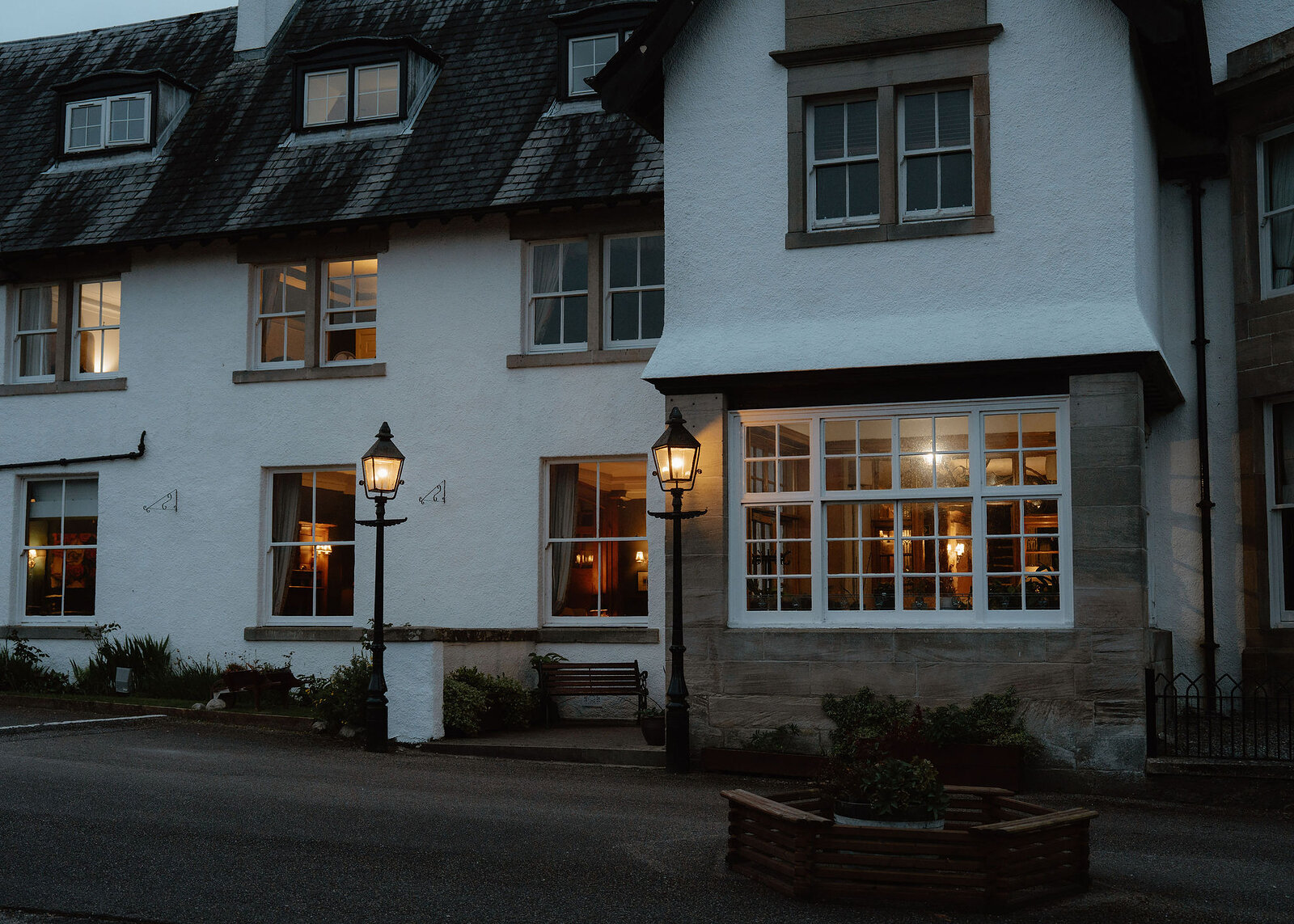
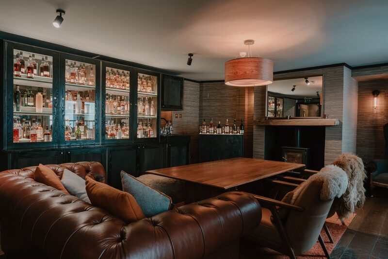
The nearest of ours is The Lovat Hotel in Fort Augustus.
Book early: with the Glenmoriston Arms shut at the time of writing, beds are few: ask about supper. If full, try the Lochside Hostel (over-16s) or Briar Bank at Alltsigh, four miles on, or keep your Fort Augustus bed and ride the coach: check the times.
Book a bed near Drumnadrochit
Drumnadrochit's inns, B&Bs and hostel need booking; if all are full, Citylink's coach runs to Inverness: check the times. To split the last stage at Abriachan, book two nights here and Loch Ness Hub's morning taxi for both days: that makes seven days.
Book a bed near Inverness
A night here is your choice, but the last day is nearly 19 miles and the last Citylink coach back to Fort William may leave before you finish: check the times.
Book a bag carried from bed to bed
Book Loch Ness Hub and Travel's bag transfer once every bed is fixed, and ask whether it reaches a bed off the Way, as at Spean Bridge.
Day one
Gairlochy
The Way begins at the Old Fort in Fort William, follows the shore of Loch Linnhe and joins the Caledonian Canal at Corpach. From there it's a towpath, the level path along the canal bank, up past the eight locks of Neptune's Staircase and on through quiet farmland. It's 10.5 level miles to the locks at Gairlochy, though for many walkers the night's bed lies some miles beyond them.
The Old Fort
An attraction
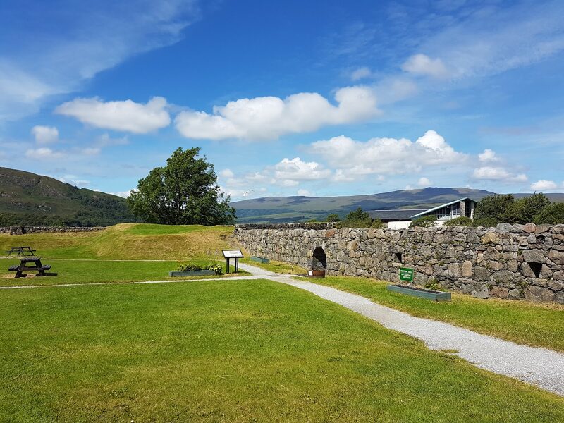
The Way starts at the Old Fort, the grassy remains of the 1690 fort that gave Fort William its name, a short step from the station, where trains and coaches arrive from Glasgow. It isn't Gordon Square, where the West Highland Way ends, almost half a mile to the south-west. Buy two days' food before you leave: neither Gairlochy nor Loch Lochy's shore has a shop. Carry waterproofs, a warm layer, a map and water. The path sets off along Loch Linnhe, past the fenced ruin of Old Inverlochy Castle.
Corpach
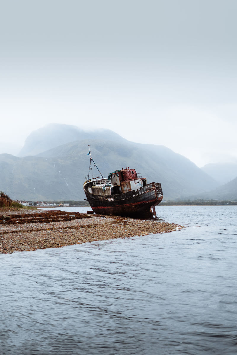
Corpach is where the Caledonian Canal reaches the sea and the Way joins its towpath. On the shore before it lies the Old Boat of Caol, a fishing boat built in 1975 that broke its mooring in a storm in 2011. Canoes set out here too: the Great Glen Canoe Trail is a separate journey, 60 miles in three to five days. Scottish Canals asks paddlers to register and to know open water. Loch Lochy and Loch Ness are very cold and, in bad weather, as rough as the sea.
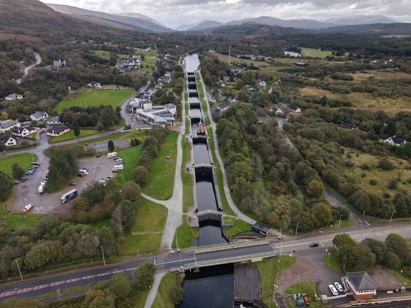
Neptune's Staircase
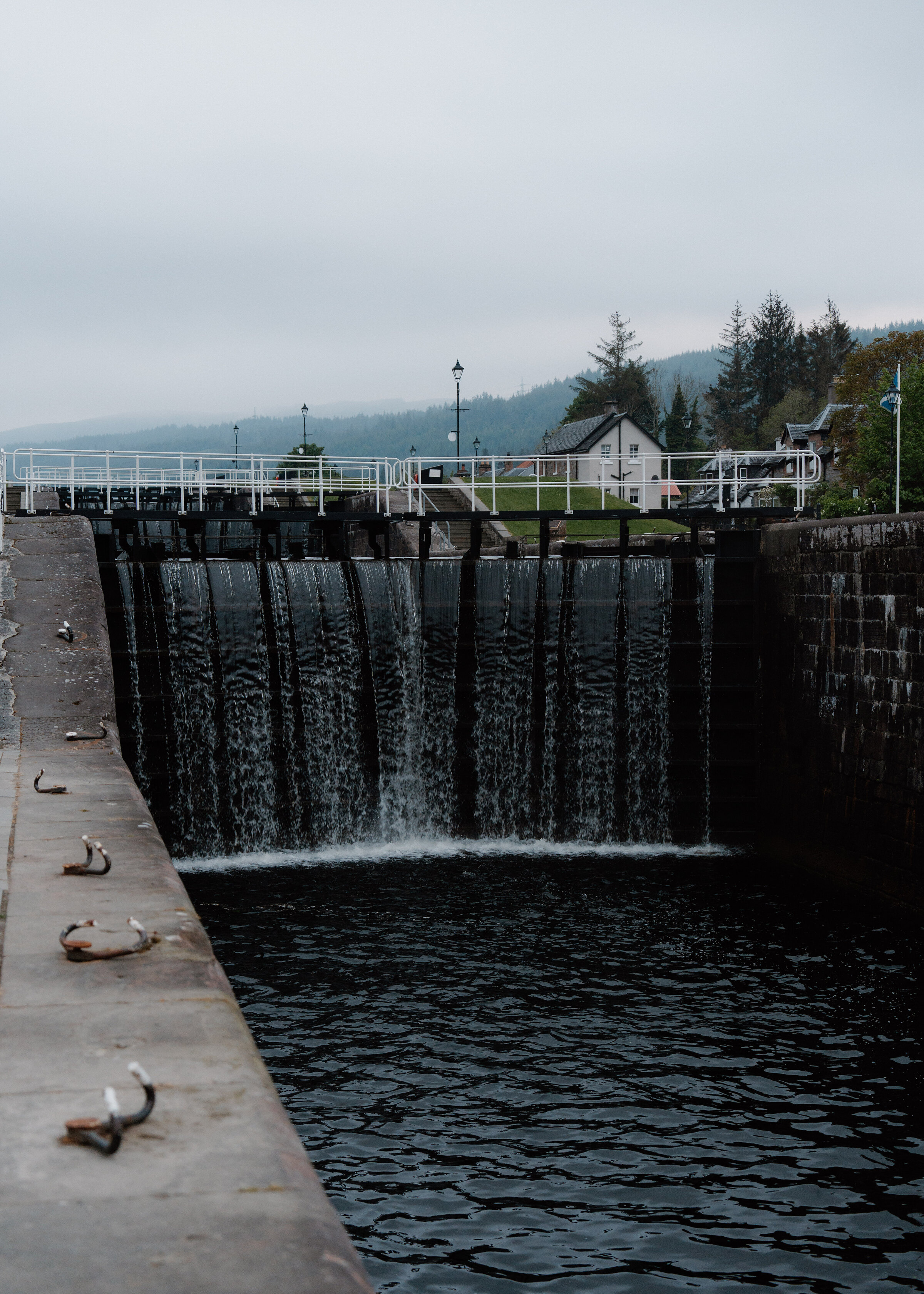
Neptune's Staircase is the sight of the day: eight locks, the gated chambers that lift a boat uphill, joined one to the next and raising the canal 19 metres in a quarter of a mile. Thomas Telford built them between 1803 and 1822. The Moorings Hotel, across the canal by the road bridge at the foot of the flight, has a café bistro open from 11am to 9pm every day. It's the last place to buy anything today: beyond lie six miles of towpath and nothing else.
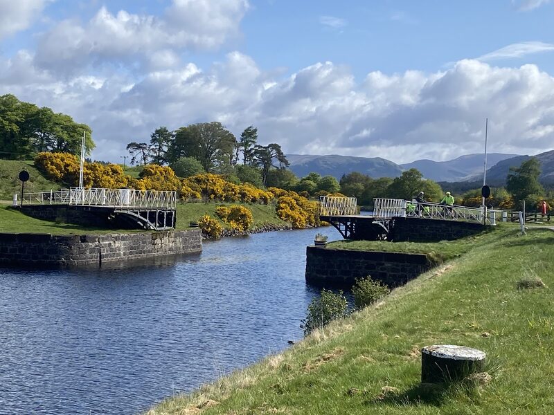
Moy Bridge
Moy Bridge is the last of the canal's original swing bridges, cast iron and built in two halves, and it is still worked by hand. The lock keeper, it is said, comes down from Gairlochy, opens one half, then crosses the water by boat to open the other. Between Banavie and here the canal passes over four rivers and burns (streams) on aqueducts, the longest of them across the River Loy. Gairlochy is less than a mile and a half ahead.
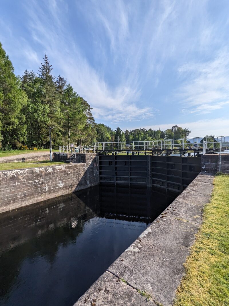
Gairlochy
Gairlochy is two locks and a swing bridge where the canal meets Loch Lochy, with no shop and nowhere to eat. Its few beds include the Woodlands Rest Pod, self-catering and three-quarters of a mile off the Way: carry supper. Many walkers sleep at Spean Bridge, about four miles off, where some hosts will collect you: ask before you book. Walking both ways makes today about 14 miles and tomorrow about 17. The B8004 is single-track, with no pavement to the Commando Memorial: face the traffic, and never walk it in the dark.
If it rains
A level, firm towpath all the way, and it goes in any weather, though there is no shelter after Banavie. Corpach and Banavie both have stations on the line back to Fort William, and the Moorings at Banavie, across the canal, is somewhere to sit out a downpour. Check the train times. After Banavie the only way off is to walk on to Gairlochy, where no coach stops.
Day two
Laggan Locks
A day along the length of Loch Lochy, on the shore away from the main road, starting back at Gairlochy's locks. A quiet lane and a lochside path lead to Clunes, past the Pepperpot lighthouse where the canal enters the loch, and forest tracks run on above the water. The Way counts 12.8 miles to South Laggan, a mile beyond Laggan Locks, with nothing to buy before the locks.
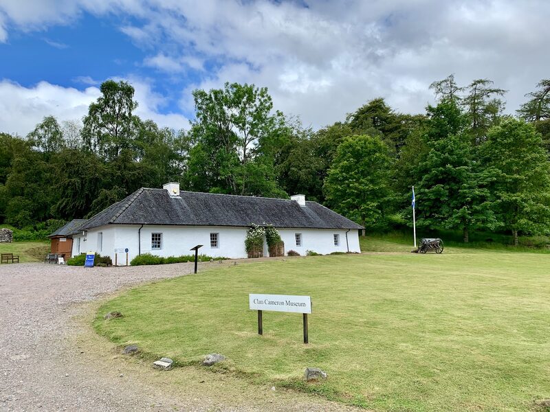
Clan Cameron Museum
An attraction
About two and a half miles from Gairlochy, the Clan Cameron Museum is a detour three-quarters of a mile up the side road to Achnacarry. It tells of the Camerons of Lochiel, whose chief still lives at Achnacarry, where some 25,000 commandos trained in the Second World War. It opens from 11am to 3pm every day from 1 April to 15 October: on a day this long, go in only if you pass in those hours. It has no café: until Laggan Locks you carry all you eat and drink.
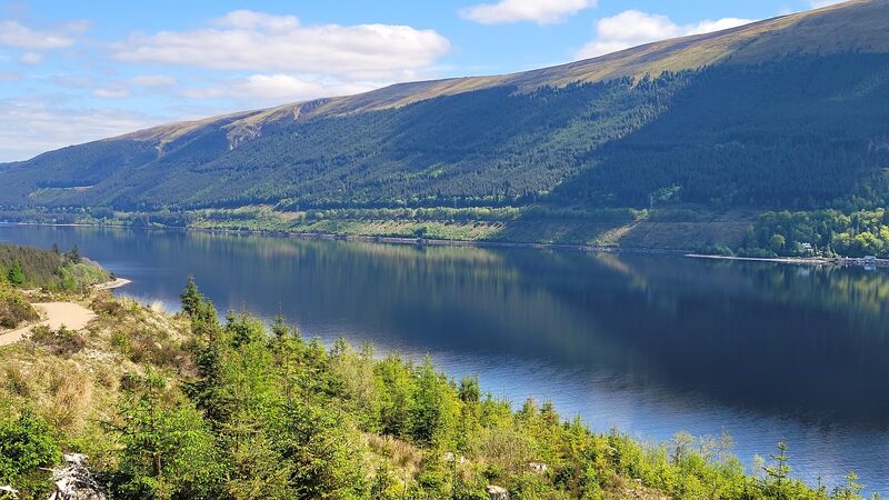
Great Glen Way Viewpoint, Loch Lochy
An attraction
The Great Glen Way Viewpoint comes soon after Clunes, where the Way leaves the road for a forest track and the loch opens out below, dark between wooded slopes. For the next seven and a half miles there is the track and nothing else. The hotels marked on the map at Letterfinlay are on the far shore, beside the main road, and can't be reached from here. Further on, a signed diversion zigzags up the hill round the site of the Coire Glas hydro scheme and adds about 600 metres.
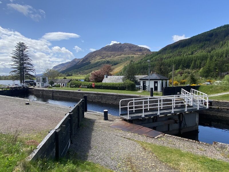
Laggan Locks
Laggan Locks end Loch Lochy, and the canal runs on through a deep cutting to Loch Oich. In 1544 two clan armies fought near here in their shirts, the story goes: the Battle of the Shirts. The Eagle Barge, a floating pub at the locks, has shut early in the week: check its days. Tonight's bed is the Great Glen Hostel, a signposted mile on, with dinner from April to September. Book ahead: the fallback, Invergarry, is four miles more, by a link signed half a mile before the locks.
If it rains
The forest track gives some cover from wind and rain for most of the day, and the going is never hard. But there is no bus and nothing open to walkers between Clunes and Laggan Locks. If the forecast is bad enough to stop you, stop before you start. The Citylink coach from Spean Bridge runs up the far side of the loch to Laggan Locks: check the times.
Day three
Fort Augustus
A level day. From Laggan the Way takes the bed of an old railway along the east shore of Loch Oich, the smallest of the three lochs and the highest point of the canal, then crosses to the towpath at Aberchalder. The Way gives 12.1 miles to Fort Augustus, where five locks step down through the village to Loch Ness, though the old railway walks a little shorter.
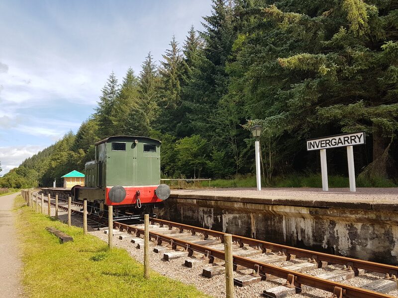
Invergarry Station
Invergarry Station saw its last passenger train in 1933, and the Way now runs straight through it. Volunteers are rebuilding it as a small railway museum, with open days on some summer Sundays. From here the old line follows the shore of Loch Oich. Across the water, beside the main road, stand the Well of the Seven Heads, a roadside monument, and the ruin of Invergarry Castle, with no way to either from this side. Nothing before Fort Augustus is sure to be open, so have lunch in your pack.
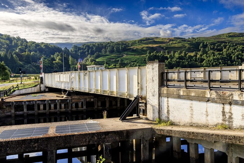
Aberchalder
At Aberchalder, the far end of Loch Oich, the Way crosses the main road beside the canal's swing bridge. A short way off is the Bridge of Oich, a suspension bridge of 1854: closed at the time of writing, but easy to see. Citylink's coach between Fort William and Inverness stops here, the first way out since Laggan: check the times. Then it's five miles of towpath. You cross the canal on the lock gates at Cullochy and pass one more lock, at Kytra, before Fort Augustus appears.
Fort Augustus
An attraction
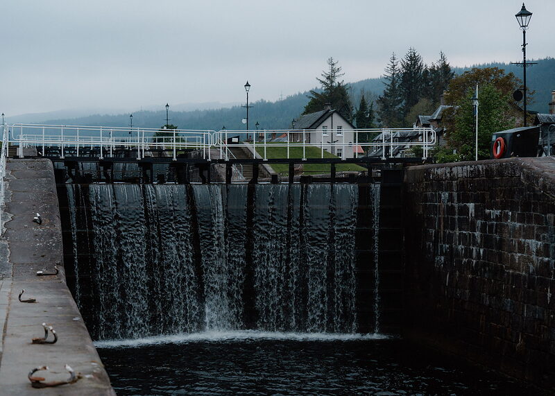
Fort Augustus is the first real village on the Way since Fort William, three days back. The towpath brings you in at the top lock, and four more below it lower the canal through the middle of the village to Loch Ness. There are shops, pubs and restaurants, and the Caledonian Canal Centre beside the locks has a café. Beds are plentiful but they fill in summer, so book ahead. Before the shops shut, buy tomorrow's lunch, and supper too if your bed at Invermoriston serves none.
If it rains
Level walking on a firm old railway bed and then a towpath: a good day for poor weather. The Citylink coach stops at Laggan Locks, at Aberchalder and in Fort Augustus, so you can end the day at Aberchalder, five miles short. Check the times first.
Where to eat
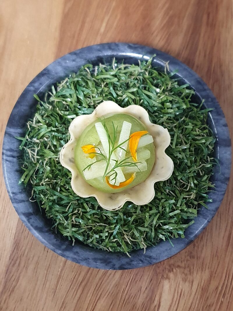
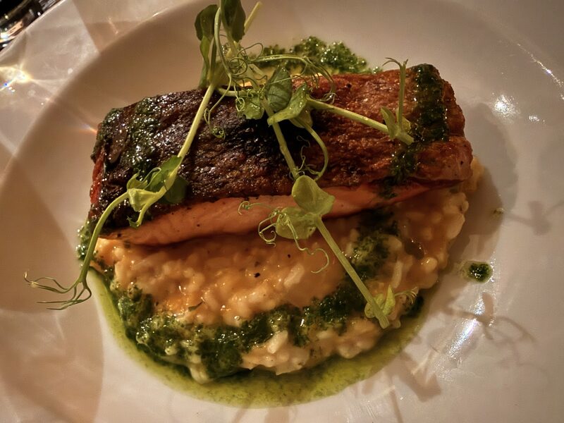
Station Road at The Lovat, brasserie at The Lovat.
Day four
Invermoriston
Loch Ness starts here and stays beside you for most of the rest of the walk. Today is the shortest stage, 7.3 miles by the low route, and the first with a real climb. A forest track pulls up out of Fort Augustus, runs among tall trees above the water and comes down to the village of Invermoriston and its waterfall.
Loch Ness Viewpoint
An attraction
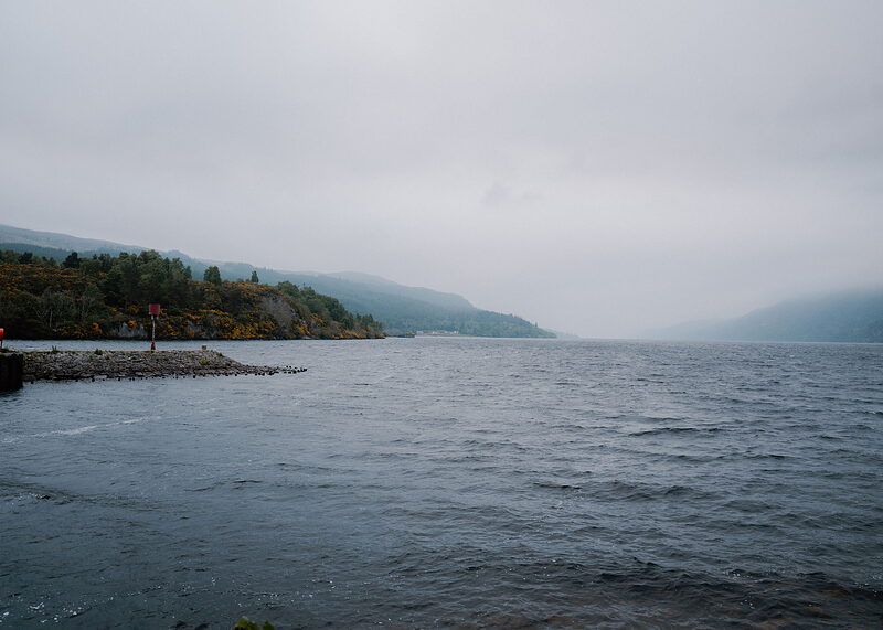
The Loch Ness Viewpoint is a few minutes from the foot of the locks, on the shore where the canal runs out into the loch, with over twenty miles of water ahead. From Fort Augustus the Way climbs a forest track to a panel where it divides. The low route is the more level, among giant firs and spruces in the first forest the Forestry Commission planted in Scotland. The high route is longer, with a steep climb above the trees for the long view. Nothing is sold before Invermoriston.
Invermoriston Falls
An attraction
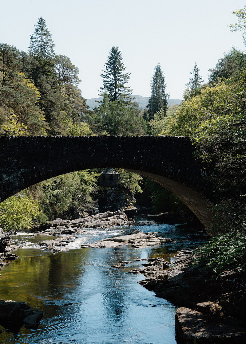
Invermoriston Falls are in the middle of the village: white water under an old stone bridge. The Glen Rowan Cafe does lunch any day but Monday, and a small shop and post office are close by. Supper is the hard part. The village hotel, the Glenmoriston Arms, was shut at the time of writing: check. Settle supper with your B&B before you come, or bring it from Fort Augustus. The village hall has a drinking-water tap on its outside wall. Tomorrow's low route passes the Stone Cave, a washerwoman's shelter.
If it rains
Take the low route, which stays among the trees. The high route is above the forest and open to the wind. The day is short enough to wait out a wet morning in Fort Augustus. If you'd rather not walk at all, the Citylink coach runs along the lochside road to Invermoriston: check the times.
Where to eat
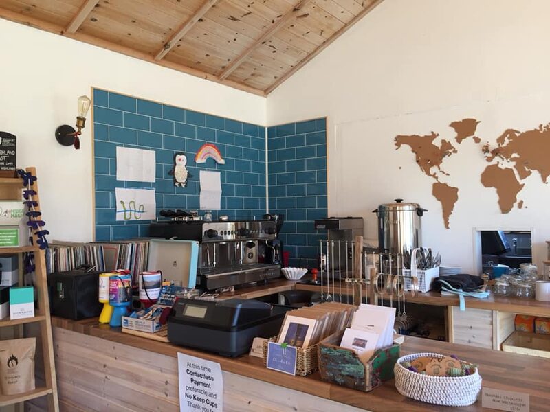
Glen Rowan Cafe, a café in Invermoriston.
Day five
Drumnadrochit
The first hard day. A steep lane climbs out of Invermoriston to a panel where the Way divides again: the low route keeps to forest tracks and paths past the Stone Cave to Alltsigh, the high one crosses open hillside at 420 metres. Beyond Alltsigh a long climb leads to Grotaig, under the hill of Meall Fuar-mhonaidh, before a newer path leads down to Drumnadrochit, 13.7 miles from Invermoriston.
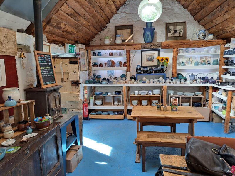
Loch Ness Clay Works
Loch Ness Clay Works is a pottery at Grotaig, 200 yards off the Way and about nine miles from Invermoriston, at the top of the long climb from Alltsigh. Its walkers' café opens from 10am to 6pm every day for hot drinks and cake, not meals: pack lunch. With Alltsigh's coach five miles back, the way off is the hill road to Drumnadrochit. A newer path replaces most of the old road walk to the village, five miles on. A short stretch is still on the road: watch for traffic.
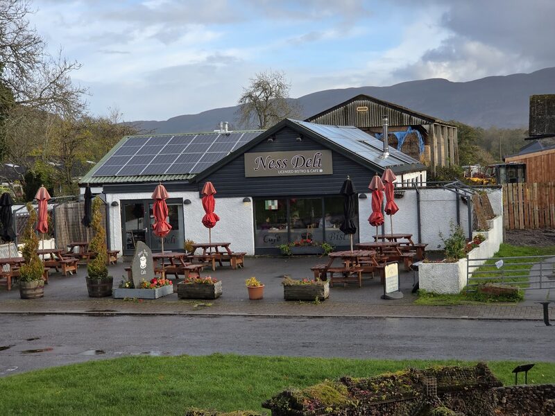
Drumnadrochit
Drumnadrochit has what a walker needs after two thin days: a small supermarket, a pharmacy and a choice of places to eat and sleep, which still need booking. Fiddler's, by the village green, cooks dinner and advises reserving. Tomorrow is the longest stage, nearly 19 miles. To split it, Loch Ness Hub's taxi takes you up to Abriachan in the morning, you walk back down here for a second night, and it takes you up again next day. That makes the walk seven days. Buy tomorrow's lunch here.
If it rains
Keep to the low route out of Invermoriston, which is in forest most of the way to Alltsigh. The Stone Cave, two miles out, is a small shelter from the rain. From Alltsigh the climb to Grotaig and the path beyond it are more open. The Citylink coach stops at the Lochside Hostel at Alltsigh, close to the low route, and that is the one way out between the two villages. Check the times.
Day six
Inverness
The last day is the longest, 18.8 miles, and the highest. The Way climbs steeply out of Drumnadrochit to the forest at Abriachan, crosses high moor and forest and comes down with Inverness spread out below. The River Ness and its wooded islands lead to the castle, where the walk ends.
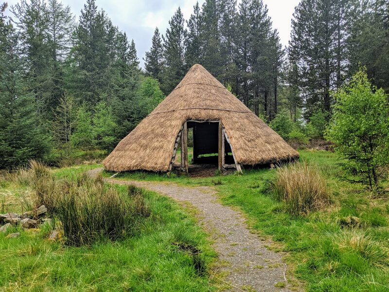
Abriachan
Six or seven miles from Drumnadrochit comes Abriachan, a community-owned forest. The first mile out of the village is a pavement beside the fast main road, then a steep path winds up through the woods. In the forest the Way divides once more: a high path over the hill, at 434 metres the top of the whole walk, or the easier forest road beneath it. There are toilets and picnic tables. Inverness is twelve miles on, with no bus and nothing sure to be open before it.
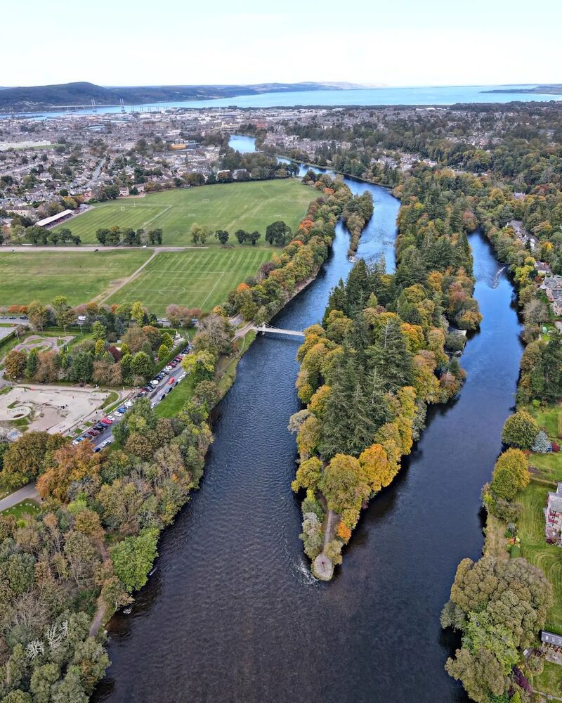
Ness Islands
An attraction
The Ness Islands are how the Way comes into Inverness. From Abriachan it follows a quiet road, then a path over open moor and an old drove road through forest, once used to walk cattle south to market, to a wide view of the city. It drops through the edge of town, crosses the Caledonian Canal, which has come all this way too, and reaches the river at these wooded islands, joined to the banks and to one another by Victorian footbridges. The finish is a mile down the riverbank.
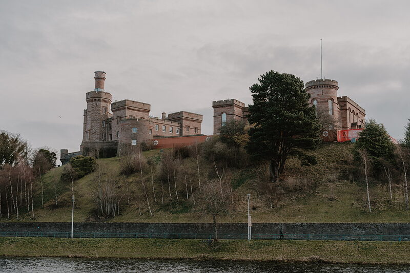
Inverness Castle
An attraction
Inverness Castle is the end of the Great Glen Way, above the river, six days from the Old Fort. The building is now the Inverness Castle Experience, and its Saltire Bistro needs no ticket, though it takes its last orders for hot food at 5pm. Trains for Glasgow and Edinburgh go from the station, a short walk from the castle. No train runs back to Fort William. The Citylink coach down the A82 does, and the last may leave before you finish: check the times, or sleep here.
If it rains
The moor beyond Abriachan is high and open, and this is a long day to be wet. In low cloud take the forest road at Abriachan, not the high path. To shorten the day, book Loch Ness Hub's morning taxi from Drumnadrochit up to Abriachan and walk on from there: it skips the first six or seven miles and the climb, and adds no night. No coach comes up to the forest, and there is no bus between Abriachan and the edge of Inverness.

Photographs by Hello Ness, David Stransky, Malcolm Wilson, Lukáš Aron, John Mackenzie, Jerry Y., dzdzownicolo, Duncan Macpherson, Elaine Willmore, Chris Kelly and Alasdair Sangster via Google; iainsranndach