
The Skye Trail – Ridge, Glen and Coast
Seven days on foot, from Rubha Hunish to Broadford.
The route
The Skye Trail walks the length of the island, 128 km from Rubha Hunish, its northern tip, to Broadford.
Over seven days it follows the Trotternish ridge to the Storr and the cliffs into Portree. Then it goes by the Braes to Sligachan, down Glen Sligachan and along the coast to Elgol, and on by Torrin past Suisnish and Boreraig, two villages cleared in the 1850s. It's a hard walk: there are no waymarks, parts have no path at all, the ridge day is 28 km with 1,700 metres of climbing, and some burns, or streams, can't be crossed after heavy rain. It's for experienced hillwalkers who can find their way with a paper map and compass in cloud, and it's not one for a first long walk. Carry OS Explorer 408, 410, 411 and 412 or Harvey's Skye Trail map, and never go onto the ridge on a poor mountain forecast.
Before you go
Book four nights near Portree
Arrive in Portree on Tuesday 11 May by Citylink coach and stay four nights, Tuesday to Friday. The first three stages each end at a bus stop, and the 57 brings you back to Portree every evening, so one bed does for all four nights.
Book a night at Sligachan
The Sligachan Hotel has 21 rooms and is the only bed at the end of day four, so book it early. Seumas' Bar serves food until 8.30pm, first come, first served. Backpackers can pitch at Sligachan Campsite without booking (1 April to 30 September in 2026).
Book a bed in Elgol, and supper
Elgol and Glasnakille have only a few B&B rooms, and Coruisk House has a few more: book these before anything else on the walk.
Book two nights near Broadford
Torrin Bunkhouse takes nobody for fewer than two nights, and opens individual bookings only three weeks ahead, so sleep in Broadford instead and use the 55 bus.
Book the coach to Portree and home from Broadford
Book seats ahead in summer.
Day one
Rubha Hunish
The trail begins at the very top of Skye, with Duntulm's ruin on its crag and a walk out to Rubha Hunish, the island's northern tip, before the cliffs lead east to Flodigarry. It's 12.3 km with 300 metres of climbing, five and a half to six and a half hours. Take the 9.10am bus from Somerled Square in Portree to the Shulista road end.
The Shulista road end
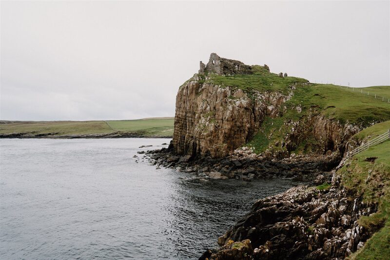
Your first sight on the trail is Duntulm Castle on its crag above the sea, with the tumbled walls of Erisco, a long-deserted village, below you on the left as you head north. The castle is a lovely ruin to admire from the path, but it isn't safe to go inside. The bus sets you down near Kilmaluag just after 10, at a red phone box beside a little car park, and from the cattle grid a path runs north along the lip of a low escarpment. In May it's lambing time and the birds are nesting, so go quietly through the croft fields, leave every gate as you found it, and keep any dog on a short lead.
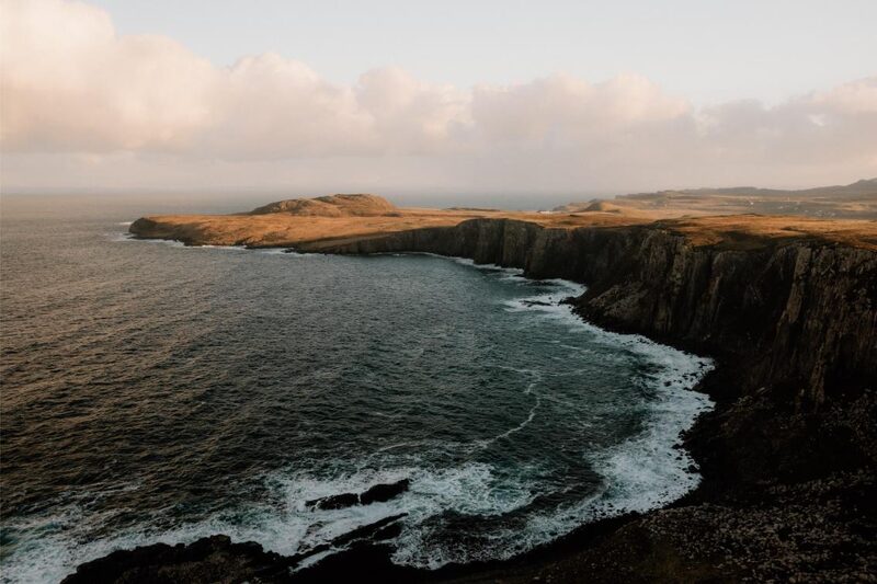
Rubha Hunish
An attraction
Rubha Hunish is the very top of Skye, a headland under the cliffs that's a wonderful spot for seabirds, and for minke whales later in the summer. After 2.5 km of clear path you reach the cliff edge above it. Getting down means scrambling a rocky staircase, so save that for a dry, calm day. Up on top, the Lookout began as a coastguard hut in 1928 and is now a tiny bothy for three, with no water.
Flodigarry
The day ends at Flodigarry, where Flora MacDonald's cottage stands in the hotel grounds. Heading east from the Lookout, the path is faint, and very boggy in places. By the ruined church of St Moluag at Kilmaluag it touches the road, then goes on over the crofts of Balmaqueen. Beyond them nothing fences you off from the drop, so keep well back when it's windy, and take care at one burn after rain. From the hotel it's a short climb to the bus stop on the A855, where the 5.01pm bus takes you back to Portree for the night.
If it rains
In a strong wind or heavy rain, leave out the scramble down to the headland and keep well back from the unfenced cliffs past Balmaqueen, where the path runs right at the edge. The burn before Flodigarry can be tricky in spate. The A855 is never far away: the path meets the road at Kilmaluag, by St Moluag's church, and the 57 stops at the Balmaqueen road end as well as at Flodigarry. Buses back to Portree from Flodigarry road end at 5.01pm, 6.40pm and 7pm (2026 weekday times).
Day two
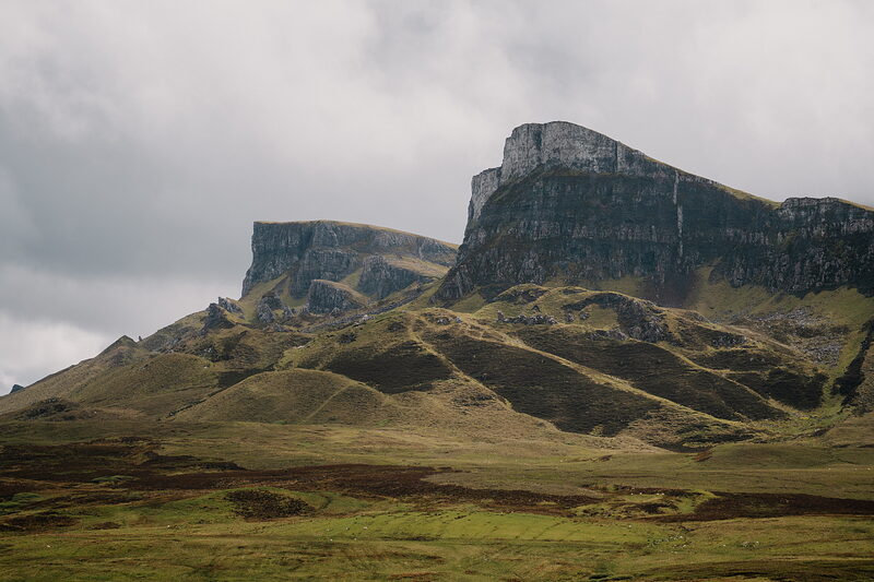
Trotternish
The big day of the week, along the Trotternish ridge from the pinnacles of the Quiraing over Beinn Edra and Hartaval to the Old Man of Storr, with sheer cliffs on your left all the way south. It's 27.7 km with 1,700 metres of climbing, eight and a half to ten hours on your feet. Set off on the 6.55am bus from Portree.
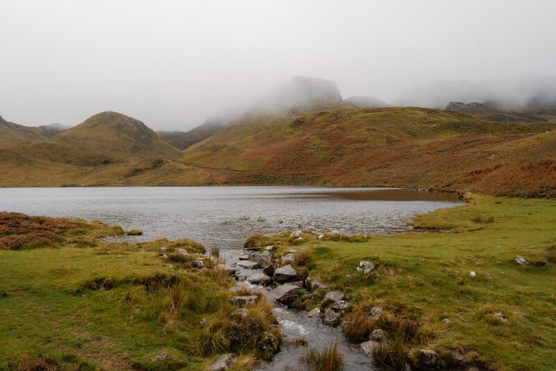
Loch Langaig
An attraction
This is the morning the Quiraing opens up in front of you, a great landslip of pinnacles and hidden hollows. Ask the driver of the 6.55am to put you down at the foot of the Loch Langaig path, at about 7.35: a signed gate by a layby on the A855, just south of Flodigarry, starts the climb. You pass Loch Langaig, then Loch Hasco, and looking back there's Flodigarry Island with Torridon's mountains beyond it. Under the Quiraing's crags the path turns left and keeps to their foot, over a stile and beneath an overhanging rock, into the landslip itself.
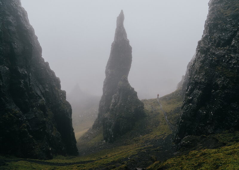
The Quiraing
An attraction
Walking south through the middle of the Quiraing, you have the Prison's three rocky tops on your left and the Needle, a tall, crumbling spire, high on your right. A short, loose drop and a rocky gully, taken with care, bring you down to the car park where the Staffin to Uig road crosses the pass. A snack van sometimes stops there in summer, but after that nothing is on sale until the Storr's seasonal kiosk. Carry all you need, and top up your water whenever you can.
Beinn Edra
Beinn Edra, 611 metres, is the first big summit of the ridge, and a long, steady climb. Over the road, go up Bioda Buidhe and keep close to the escarpment's rim, which is your guide if cloud comes in. Drop to Bealach Uige, then work your way up to the top, with sheer cliffs on your left all the way south. A little beyond it, Bealach a' Mhòramhain gives the first way down off the ridge, westward into Glen Uig, and it's for emergencies only.
Hartaval
Hartaval, 669 metres, is the day's high point, and you earn it. After Beinn Edra the ridge narrows over Beinn Mheadhonach and Flasvein to Bealach na Leacaidh, where a second emergency way off drops west into Glen Hinnisdal. Next come Sgùrr a' Mhadaidh Ruaidh, whose name means the red fox's peak, and Baca Ruadh. A steep slope of broken rock leads down to Bealach Hartaval before the short, hard pull to the top. Water is scarce up here in dry weather, so carry plenty.
The Old Man of Storr
An attraction
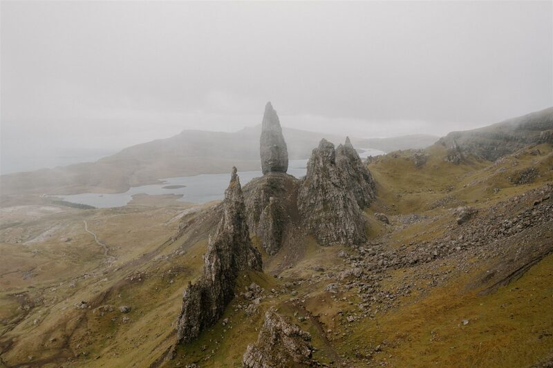
The Old Man of Storr and the Needle, standing over the Storr Lochs, are your reward at the end of a very long day, but the way down to them takes the most careful navigation of all. From Bealach a' Chùirn climb onto the wide northern shoulder of the Storr, find a small cairn, and follow a path curving round Coire Scamadal, with one short rocky scramble that's slippery when wet. Keep to the made path down, as the ground below the Old Man is being restored. The 5.26pm or 7.05pm bus takes you back to Portree from the car park.
If it rains
Walk the ridge only on a good MWIS forecast for the Northwest Highlands, with clear tops and moderate wind. No phone map knows the way along it: walk it by map and compass, and register your phone for emergency texts before you go (text 'register' to 999), as a text can get out where a call can't. If the forecast is poor, swap days two and three: walk the Storr to Portree stage today, and take the ridge on Friday if it clears, as the same buses run. If both days are poor, leave the ridge out and ride the 57 round: this ridge is no place in cloud or a strong wind, and walkers are rescued from it often. The only ways off are west, from Bealach a' Mhòramhain into Glen Uig and from Bealach na Leacaidh into Glen Hinnisdal, down to the Uig road, for emergencies. Buses back from the car park at the Storr at 5.26pm and 7.05pm; after that, a taxi booked ahead.
Day three
Portree
A shorter day along the cliff tops from the Storr to Portree, over springy turf with Raasay and Torridon's mountains across the sea and a first sight of the Cuillin. It's just under 14 km with 520 metres of climbing, four and a half to six hours. Take the 9.10am bus from Portree to the Storr Lochs road end.
Bearreraig Bay
An attraction
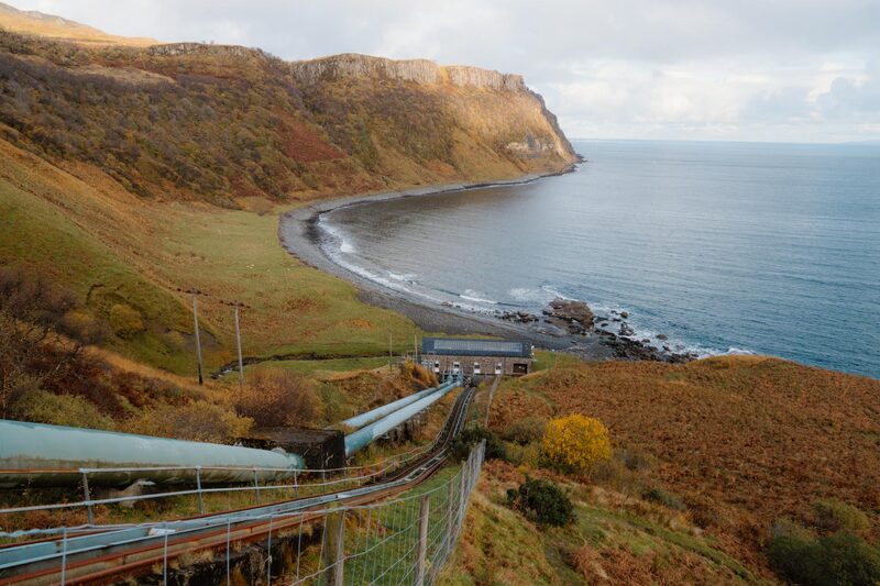
Bearreraig Bay lies far below you here, with the power station on its shore that gave Skye its first electricity in 1952. Get off the bus by the shelter at the Storr Lochs road end at 9.23am, a stop before the Storr car park, and walk down the hydro road towards the coast. It ends at a house and a little funicular. At the path sign, step a few paces to the left for the view over the bay, then set off south across wet, rough moor, boggy for about 3 km. Aim for a wooden post on the first rise, keep to the higher ground, and climb a grassy gully through the band of cliffs.
Sìthean Bhealaich Chumhaing
This is the best of the day, springy turf along the cliff tops over Fiurnean and Craig Ulatota, with Raasay, Rona and Torridon's mountains across the sea. The trig point on Sìthean Bhealaich Chumhaing, 392 metres, is the day's high point, and from it you get your first sight of the Cuillin, far off to the south. There's no fence and no path along these cliffs, so stay well back from the edge in mist or wind.
Scorrybreac Circuit
An attraction
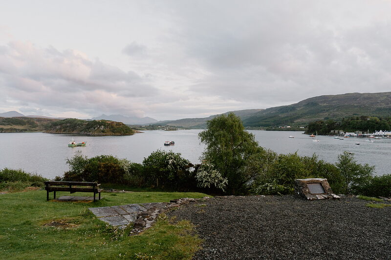
The Scorrybreac headland brings you back into Portree on a lovely shore path. Crags block the direct line to the Bile, the fields above the town, so the way goes round over steep, rough, boggy ground, then through cattle fields beside a stone wall to the sea. The path rounds the headland to Scorrybreck Road, then it's just over a kilometre round the bay to the square.
If it rains
The cliff tops have no path and no fence: in mist keep well back from the edge, and in a gale don't go. On a wet day, skip this stage by staying on the bus to Portree, or walk the Scorrybreac path from the town, which is the last part of it. The steep, boggy drop to the Bile pastures is slippery after rain: take it slowly. Between the Storr and Portree the only way off is back inland across the moor to the A855, where the 57 runs.
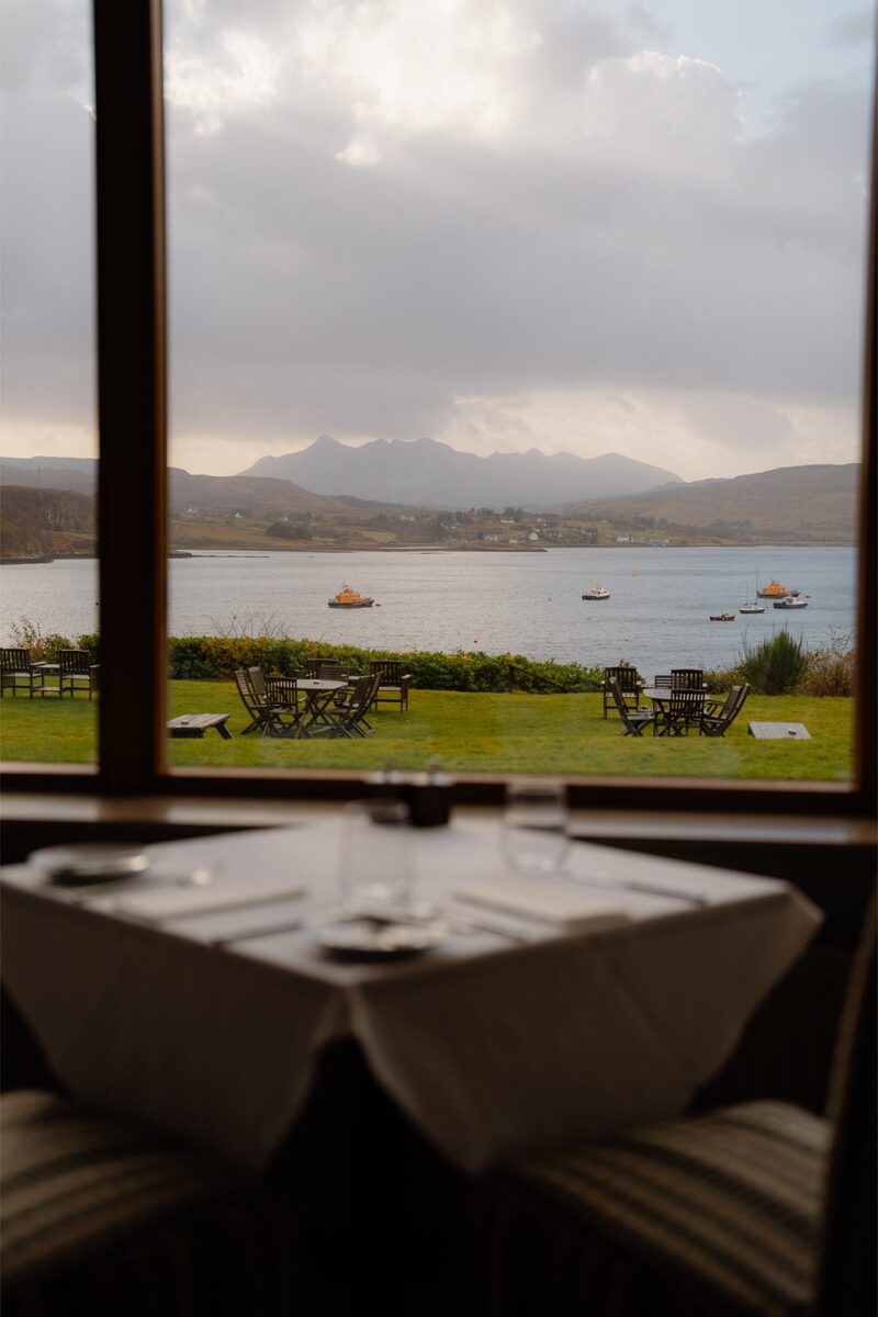
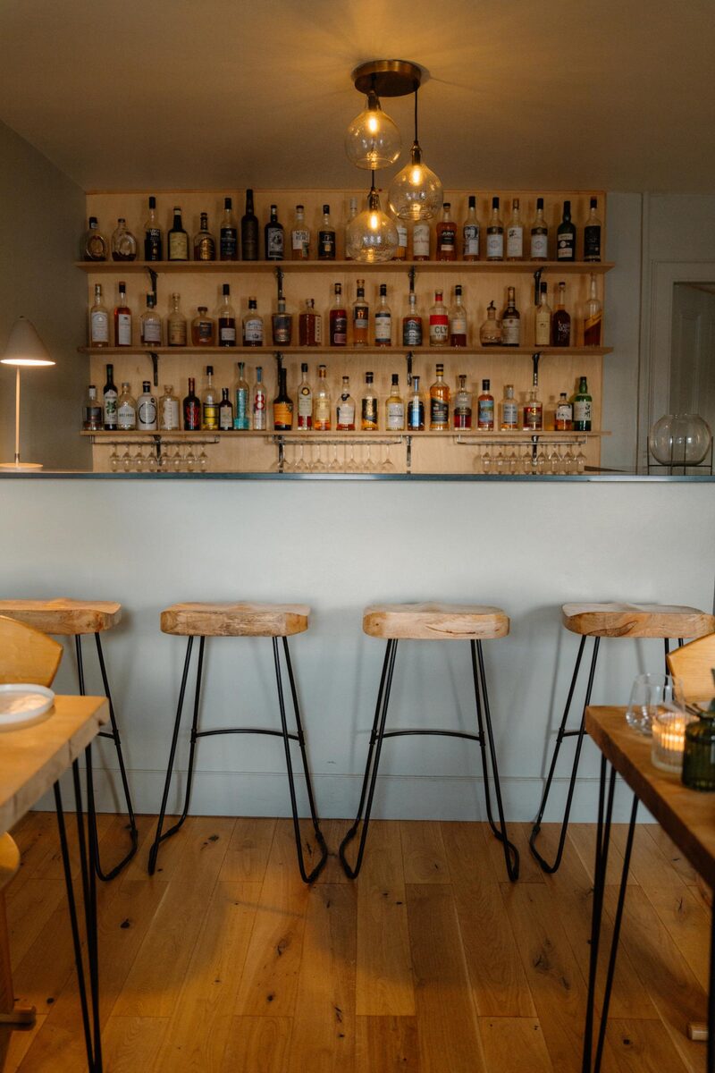
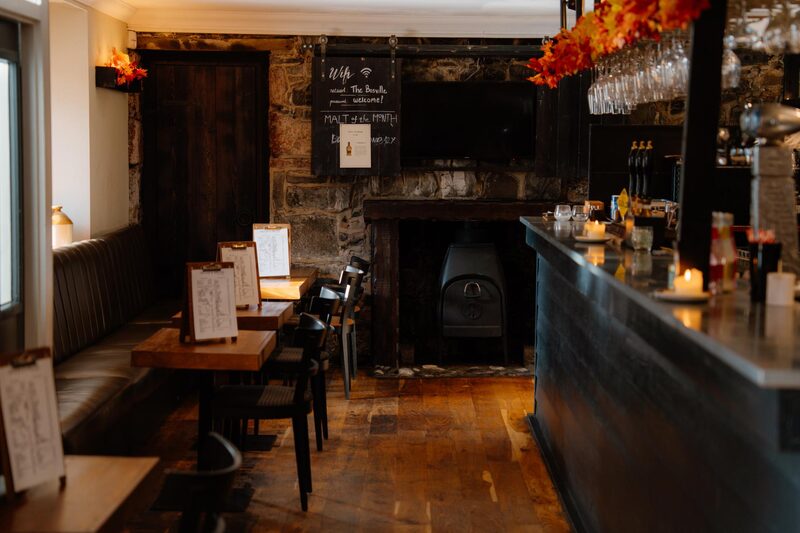
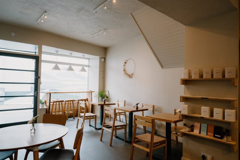
Where to eat
Day four
Sligachan
A gentler day by the sea, out of Portree along the shore and through the crofts of the Braes, past the cairn to the crofters who stood their ground in 1882, then along Loch Sligachan towards the Cuillin. It's 19 km with 270 metres of climbing, five and a half to six and a half hours, much of it on quiet road.
Portree
An attraction
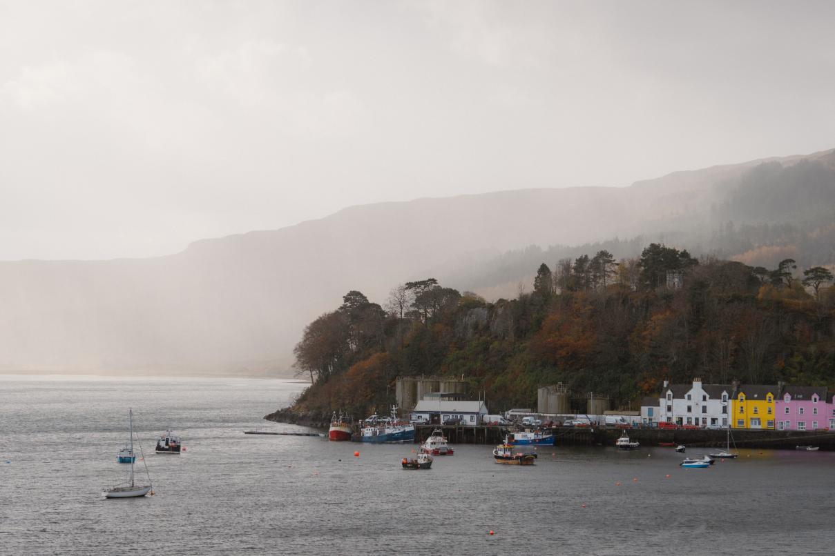
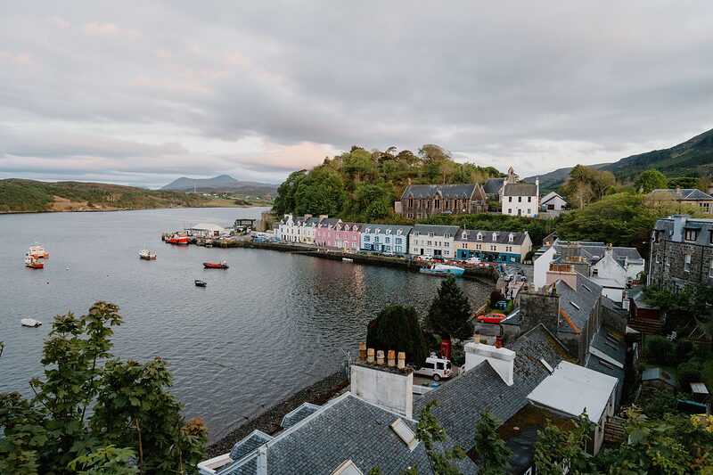
The first hour follows a salt-marsh path along the shore south of town. It goes under at the very top of a big tide, so check the tides before you leave, and if it's covered, walk the road with real care. The way out runs south from Somerled Square along Viewfield Road to a path down to the shore just before Las, the old Aros Centre, easy to miss when the summer bracken is high.
The Battle of the Braes cairn
This roadside cairn marks where the Battle of the Braes ended, on 19 April 1882, when the crofters here stood against police sent from Glasgow to arrest their leaders in a dispute over rents. The outcry that followed led in time to the Crofters Act of 1886 and security of tenure for crofting families. To reach it, follow the shore path beside the Varragill River up to the road, then walk miles of quiet road through the scattered crofts of the Braes, past the community hall.
Peinchorran
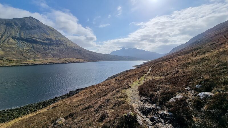
Peinchorran is the last township on the road, and where the tarmac stops a signpost sends you on to Sligachan. Before that, the way past the cairn stays near the coast; An Aird, a short detour out on the point, is worth it for sea arches, seabirds and a fine view of Raasay. The rough path beyond runs above the water on the north shore of Loch Sligachan, looking across to the bare, steep slopes of Glamaig and the Raasay ferry at Sconser.
Sligachan
An attraction
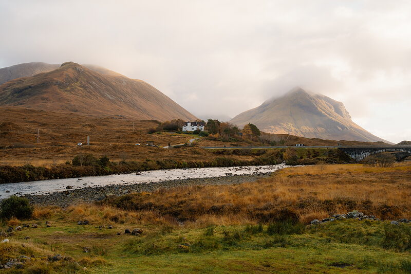
Sligachan is the classic end to a Skye day: the Cuillin ahead, a bronze statue of the climber Norman Collie and his Skye guide John Mackenzie, and a pint in Seumas' Bar. Several burns cross the path, the first under a pretty waterfall. About 3 km on, a bigger one below a high fall goes on stepping stones when it's low, and the last, 400 metres from the campsite, has no bridge, although some maps mark one. After heavy rain either of the last two can stop you: then turn back.
If it rains
At the top of a very high tide the shore path out of Portree goes under: walk the road instead, with great care. After a wet night, the burns on the Loch Sligachan shore can be impassable, the bigger one below a waterfall and the last one 400 metres before the campsite, so decide in Portree and take the Citylink coach to Sligachan instead, about 15 minutes, every day. If a burn stops you on the way, don't wade: wait for it to drop, or walk back to the Peinchorran road end and along the Braes road the way you came.
Where to eat
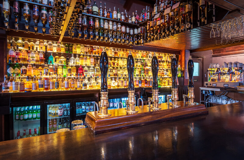
Seumas' Bar, walkers' bar, 400 whiskies.
Day five
Camasunary
Down Glen Sligachan between the Black and Red Cuillin to the sea at Camasunary, then along the cliffs to Elgol: 18.3 km with 430 metres of climbing, six and a half to eight and a half hours. No bus is needed today, but set off by half past eight.
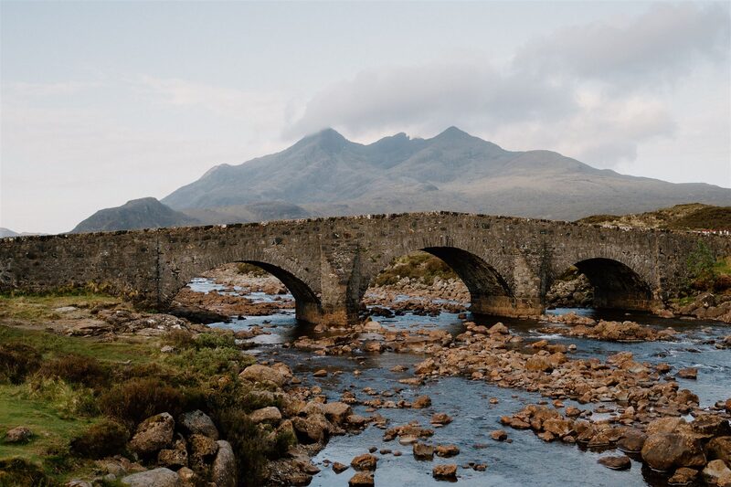
Sligachan Old Bridge
An attraction
Glen Sligachan runs south between the Black Cuillin and the Red, and the day starts over Thomas Telford's old bridge. The path up the glen is clear, though stony and boggy in places, with Sgùrr nan Gillean to your right and Marsco and the Red Hills to your left. About 3 km in, you cross the Allt na Measarroch, a big burn, on large stones. After heavy rain it can run too high to cross, and then the day waits at Sligachan.
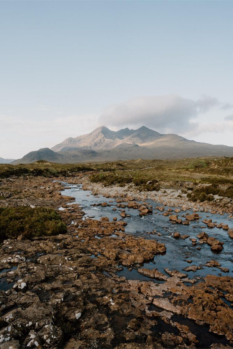
Glen Sligachan
A walk
The middle of the glen is its loneliest stretch, with no shelter before Camasunary. About 3 km past the big burn it tops out at a watershed so gentle it's easy to miss, two small lochs off to your right. A big cairn marks a fork. Right is for Sgùrr na Strì and Loch Coruisk; the trail goes left, and never comes near the Bad Step, a slab above the sea on the shore path from Camasunary to Coruisk. Ahead rises Blà Bheinn, which most people on Skye call Blaven.
-full-1717074000.jpg)
Camasunary Bay
An attraction
Camasunary is a flat green bay where the glen meets the sea, and the place to decide how you'll reach Elgol. You come down past Loch an Athain and the long Loch na Creitheach to the shore. On the east side, beyond the house, stands the Mountain Bothies Association's bothy, open to anyone, with space for about fifteen and no stove. If it's wet or windy, or drops unnerve you, leave the cliff path alone and take the Am Mam track to Kilmarie instead.
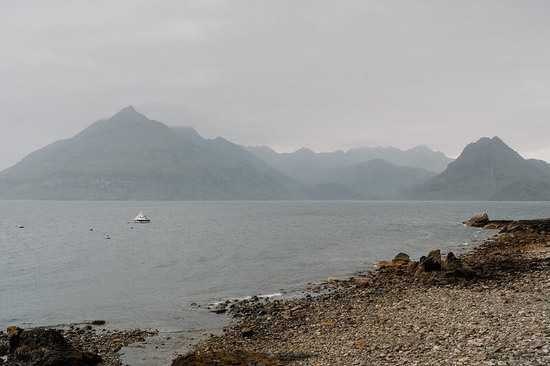
Elgol
An attraction
The cliff path to Elgol is the most beautiful stretch of the week, and the most serious. Walkers have been killed where it runs right beside the edge, so go slowly. From the bothy, take the track down to the bridge and a path along the shore, which then climbs across the hillside. Stop often to look back at the whole Cuillin ridge over Loch Scavaig. There's a short rocky step with a steep drop below it, and after Glen Scaladal a second exposed stretch before the top of Elgol.
If it rains
If the Allt na Measarroch or the burns towards Camasunary are up after heavy rain, the stage waits: stay a second night at Sligachan, as the only other way to Camasunary on foot is from Kilmarie. That puts you in Elgol on the Monday, when nowhere serves supper, so tell your B&B, move your Coruisk House booking, and carry food. In rain or wind, or if drops trouble you, take the Am Mam track from Camasunary, 4.6 km over the pass to the Kilmarie car park on the B8083, then about 5.5 km of road on to Elgol, instead of the cliff path. There's no bus on a Sunday, so ask your Elgol B&B whether they'll collect you from Kilmarie. Up to Camasunary the way off is back to Sligachan, where the Citylink runs on Sundays.
Day six
Torrin
An easier day over the hill from Elgol, by whitewashed crofts and the cleared township of Keppoch, then round Loch Slapin to Torrin under Blà Bheinn's crags. It's 16.1 km with 380 metres of climbing, five and a half to six hours, much of it on quiet road and track. Leave Elgol by 10am, and the 55 bus takes you on to Broadford for the night.
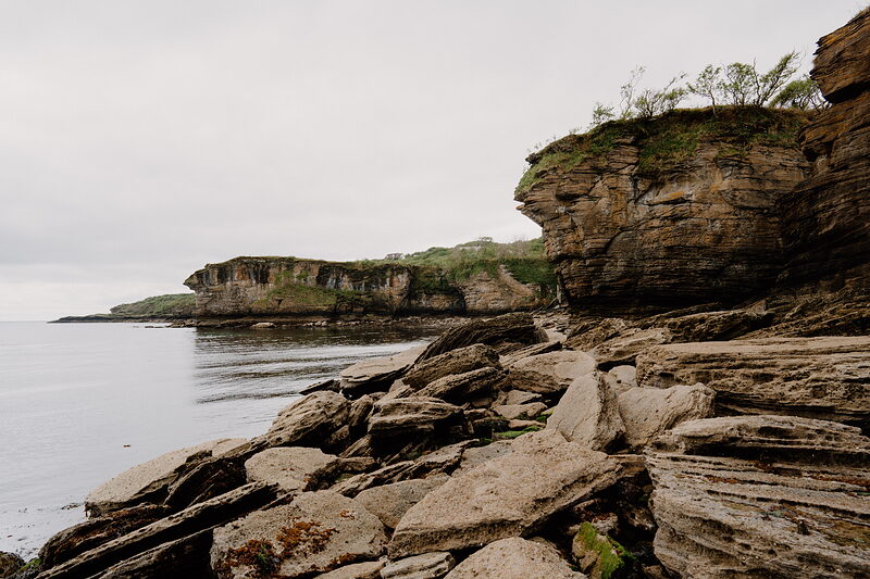
Glasnakille
Glasnakille is 2.8 km over the hill from Elgol. From the harbour, take the Glasnakille road up past the café and the village hall. As it crosses the peninsula, Eigg and Rùm sit out to sea, and it comes down past a mast to a T-junction. The Spar Cave lies on the shore below, but only for about an hour either side of low water, and it adds two hours to a day with a bus to catch. Skip it unless the tide suits perfectly.
Keppoch
The morning starts gently, past whitewashed crofts looking over to Sleat and Knoydart and into sheltered woods full of primroses and wood anemones in spring. A track and a shore path go round by Kilmarie, where Dùn Ringill, an old MacKinnon stronghold, stands on the shore, to the B8083 at Kirkibost. From there it is 1.2 km along the road, then a very boggy path climbs to Keppoch, a cleared township on the hill.
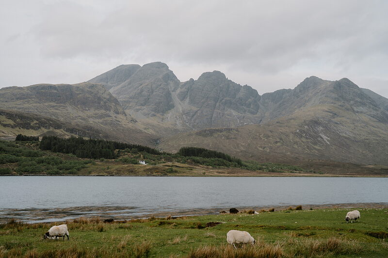
Torrin
Torrin looks across Loch Slapin to Blà Bheinn's great crags. In 1852 all 44 families of Keppoch were cleared, many of them shipped to Australia. From the ruins, a path crosses young native woodland and comes down through trees to the John Muir Trust's Blà Bheinn car park, which has a toilet. Then the road curves round the loch head, a good spot for wading birds and the odd otter, and into the village. Amy's Place tea room is shut on Mondays, and on a Monday the last 55 bus to Broadford leaves the post office at 4.57pm.
If it rains
Most of this day is on road and track. In heavy rain, leave out the boggy climb to Keppoch and stay on the B8083 from Kirkibost round the loch head into Torrin, 9 km on the road. The 55 bus runs through Kirkibost and Torrin on weekdays: on a Monday from Kirkibost post box at 1.20pm or 4.43pm, and from Torrin post office at 1.33pm or 4.57pm, into Broadford. Any later buses run only on Fridays in school term. Amy's Place in Torrin is shut on Mondays, so there's no roof at the end: wait for the bus at the post office.
Day seven
Broadford
Take the 7.10am bus from Broadford post office back to Torrin, arriving at 7.24, for the last stage. It's 19.8 km with 480 metres of climbing, six and a half to seven hours, past two villages emptied in 1853 and along the old marble railway into Broadford.
Camas Malag
Camas Malag is a pebble beach with a wonderful view back across Loch Slapin to Blà Bheinn, the southern Cuillin and the Red Hills. From Torrin post office it's 4 km, by the Broadford road past the marble quarry and down to the shore. A Land Rover track rises gently south along the coast from here. Cattle and sheep graze all the way to Broadford, and in May the lambs are out, so keep any dog on a short lead.
Suisnish
Suisnish was emptied in 1853 to make room for sheep, and the geologist Archibald Geikie, who watched its people go, wrote of the wail of grief that followed them up the road. Its roofless croft houses stand round a fenced barn, 3.5 km along the track. From there the trail climbs beside a fence to join the higher coast path.
Boreraig
Boreraig's green fields by the shore are one of the loveliest places on this coast, and one of the saddest: it was cleared by Lord Macdonald in 1853, the same year as Suisnish, and its houses were burned. The path was once the village's way in, and it's mostly well made and easy underfoot, with waterfalls pouring off dark cliffs above. Where rockfalls have buried it, pick your way through the boulders. Look out for seals and otters, and cross the burn on the stone slab bridge above the beach.
The Marble Line
The Marble Line is the bed of a little railway that carried Skye marble down to Broadford from 1910, until the quarries shut two years later; stone from here went into Iona Abbey. Leaving Boreraig, a path climbs beside a burn, roughly north, over moorland to a gate and a cairn on the pass. Below you is one of the old quarries, where a ring of stone shows where the winding wheel stood that hauled wagons up the incline. From there the old line leads downhill.
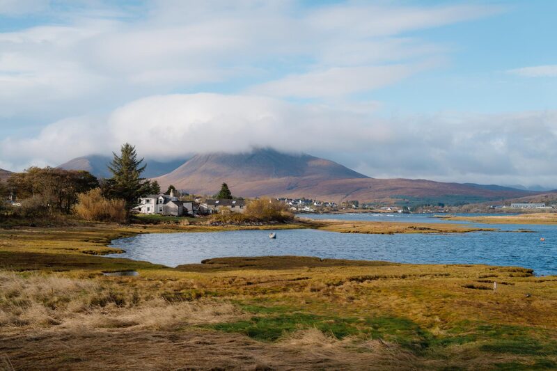
Broadford
An attraction
Broadford is where the trail ends, with a Co-op, cafés and pubs to celebrate in, and the Citylink coach home stops opposite the post office, Sundays included. The last stretch keeps to the old line, level along Strath Suardal and through two gates above the houses at Suardal. When it comes beside the road, with a plantation beyond it, a short path drops left onto the road, and you follow it into the village.
If it rains
The Boreraig path has stretches where the cliffs have fallen, slippery in the wet. In a gale or heavy rain, decide in Broadford before the 7.10am bus: walk the Marble Line out and back from the Broadford end, or wait a day. Before Suisnish, the way off is back up the track to Camas Malag and the road. From Boreraig it's shorter to go on over the pass to the Marble Line than to turn back.
Where to eat
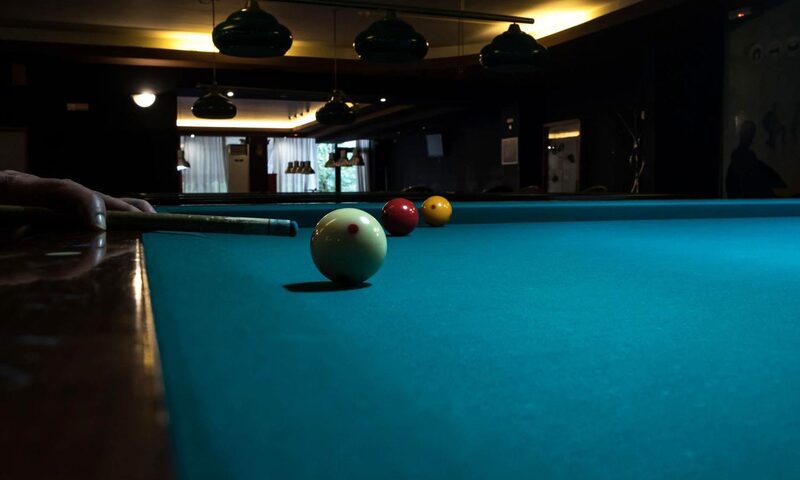
The Gabbro Bar, a bar in Broadford.

Gasta, Broadford, a café in Broadford.
Photograph by Melanie Moss via Google