
Harlosh Point – A Headland Walk on Loch Bracadale
1½ miles · there and back
dogs on a lead
Harlosh Point is the low green tip of a peninsula in Loch Bracadale, on the west side of Skye, and a short walk out to it makes a quiet morning before lunch.
Is it for me?
Tap who is coming, or the day you have, for the answer on this walk.
Before you go
On the path
A short walk each way over open croft ground from the end of the road at Balmore, with time at the point. Rough croft grass and rock. Keep children close at the point. The map to carry is OS Landranger 23, North Skye (1:50,000).
Good to know
Any time of year; Bog Myrtle, the café for lunch, says it opens from March to November. About 10.30am, from the end of the road at Balmore. Dogs on a short lead or close at heel where sheep are grazing, and from April to July for birds nesting on the ground; never into a field with lambs. Toilets none at the point or the road end; the nearest are in Dunvegan, about 5 miles by road.
The walk
This walk goes from the end of the single-track road at Ardmore out to Harlosh Point and back, about 1½ miles (2.4 km) in all. Allow about an hour and a quarter, with time at the point. A track leads from the road end to a gate; after that there is no path, only croft ground, rough grass and rock, wet in places, ending on a low cliff.
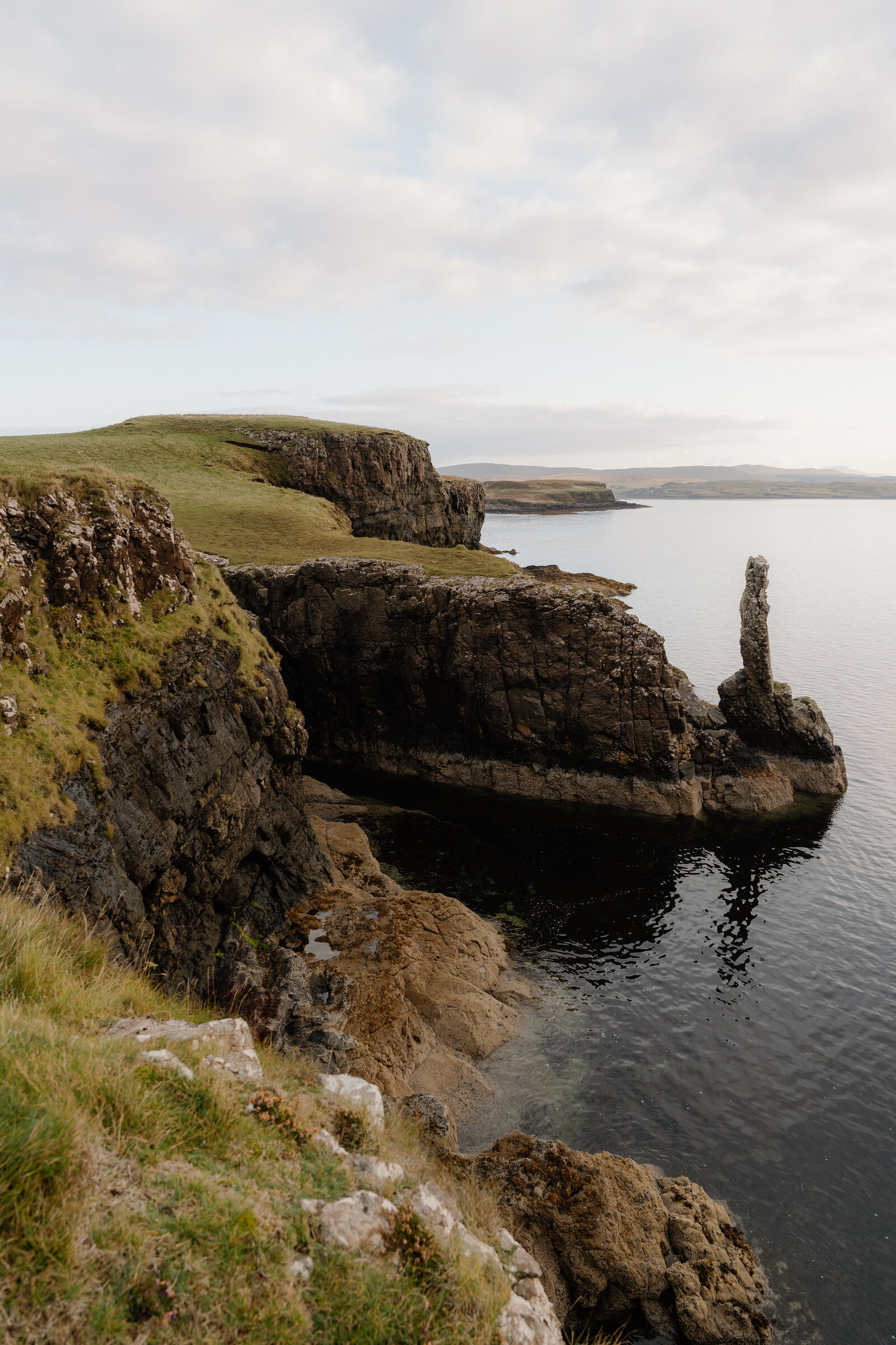
The croft land is still worked, so shut gates behind you and give any sheep room. Just through the gate, the small hill on the right holds the low foundations of a chapel and its burial ground; no graves are left, and local tradition says they were moved to Kilmuir in Dunvegan. About a quarter of a mile from the road, Dun Neill crowns a rock by the shore with cliffs on every side. It is an Iron Age dun, a small stone fort, oval and about 24 metres long, with walls almost 3 metres thick in places. The way in was on the north-east, climbing through a cleft in the crag, where a single step of the old stair survives. A faint outer wall round the seaward side may have been built to stop people and livestock falling off the rock. Like the chapel, it is a scheduled monument, so leave its stones as they lie. Beyond the dun, on the west side of the inlet before the point, lie the remains of four houses and two enclosures, an old township. One walking group came back along the seaward edge instead, past more ruins and two old sheep dips; there is no path either way.
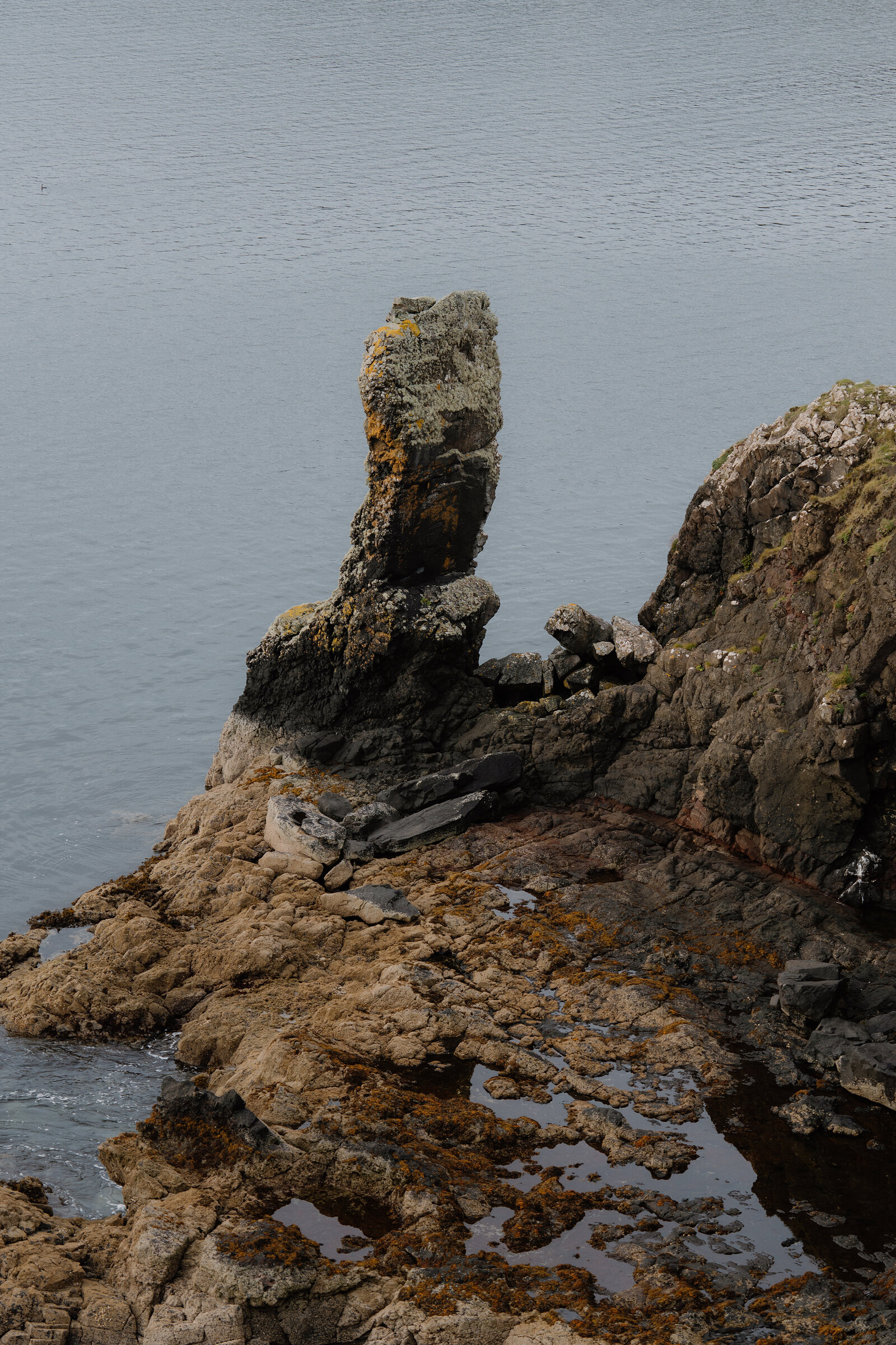
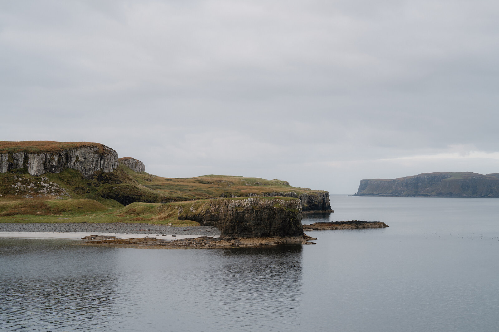
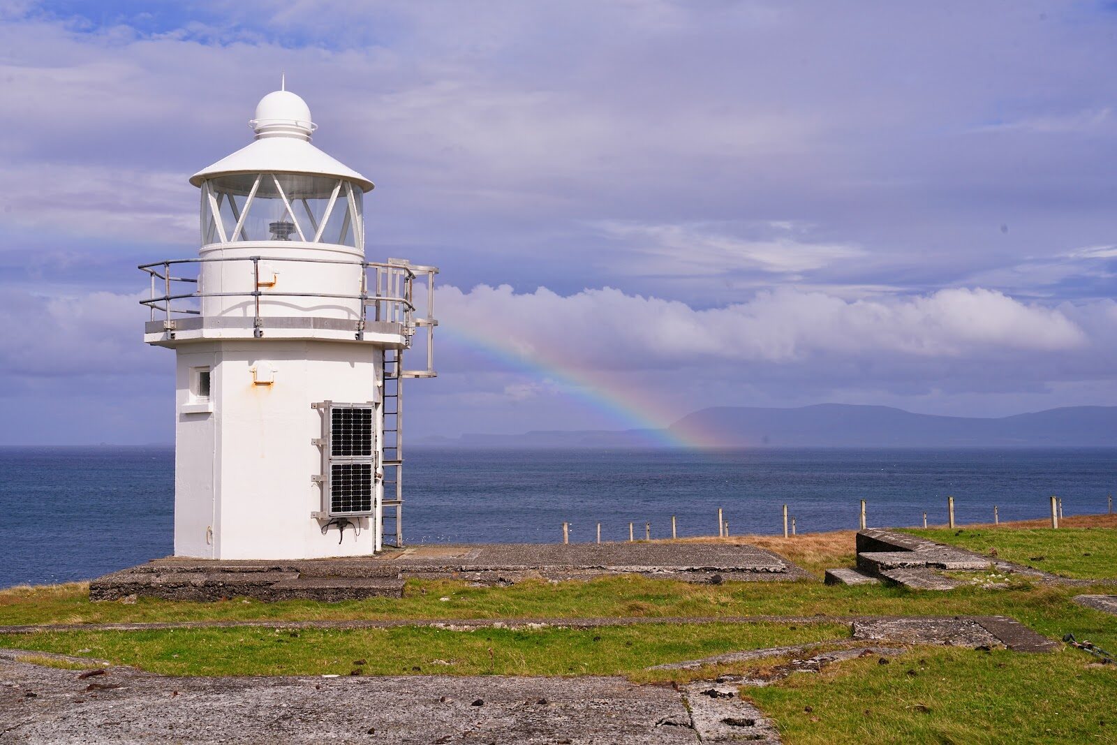
Below the point a weathered pillar of rock, about 30 feet high by one travel writer's account, stands in the tidal pools. Harlosh Island lies across a narrow sound, with cliffs round most of it and a pale sandy bay on the shore facing you. On a clear day the Cuillin line the skyline to the south-east beyond the loch; when cloud sits on them, walkers come to low ground like this instead.
Nobody lives on Loch Bracadale's islands, which leaves them to seals, otters and birds. Seals haul out on the rocks round the point and the island, and on Harlosh Skerry, the low rock off to the west. Otters are likely to feed in the kelp shallows round the islands, so bring binoculars.
If it rains
The point takes the south-west wind straight off the loch, with nowhere to shelter. On a wet day, keep the walk short and give lunch longer.
On the way
- Dun Beag Broch
An Iron Age broch on a rocky knoll above the main road, with a stone stair still climbing inside its double wall. It's free, a short, steep walk up from a small car park on the other side of the road, and the view from the top runs out over Loch Bracadale.
Afterwards
14 min by car
Bog Myrtle Café
Lunch
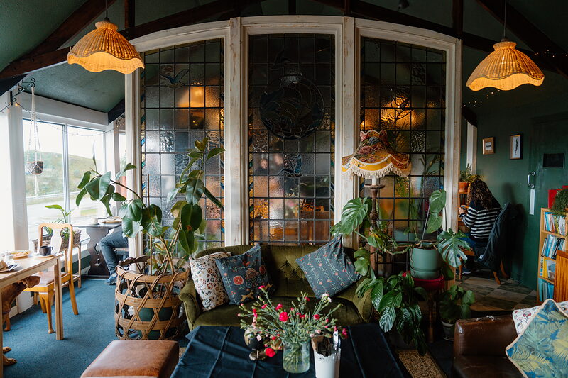
Lunch is 14 minutes' drive east round the loch at Bog Myrtle in Struan, a café, bakery and secondhand bookshop in one, with big stained-glass windows and stools by the glass looking out to sea. The owners put sourdough into nearly everything, the scones and waffles as well as the sandwiches, and there's soup and a special or two on the blackboard. Take a book down from the shelves while you wait.
After the walk
Coffee and cake, something to do with the rest of the day, and dinner, nearest the end of the walk first.
Straight after
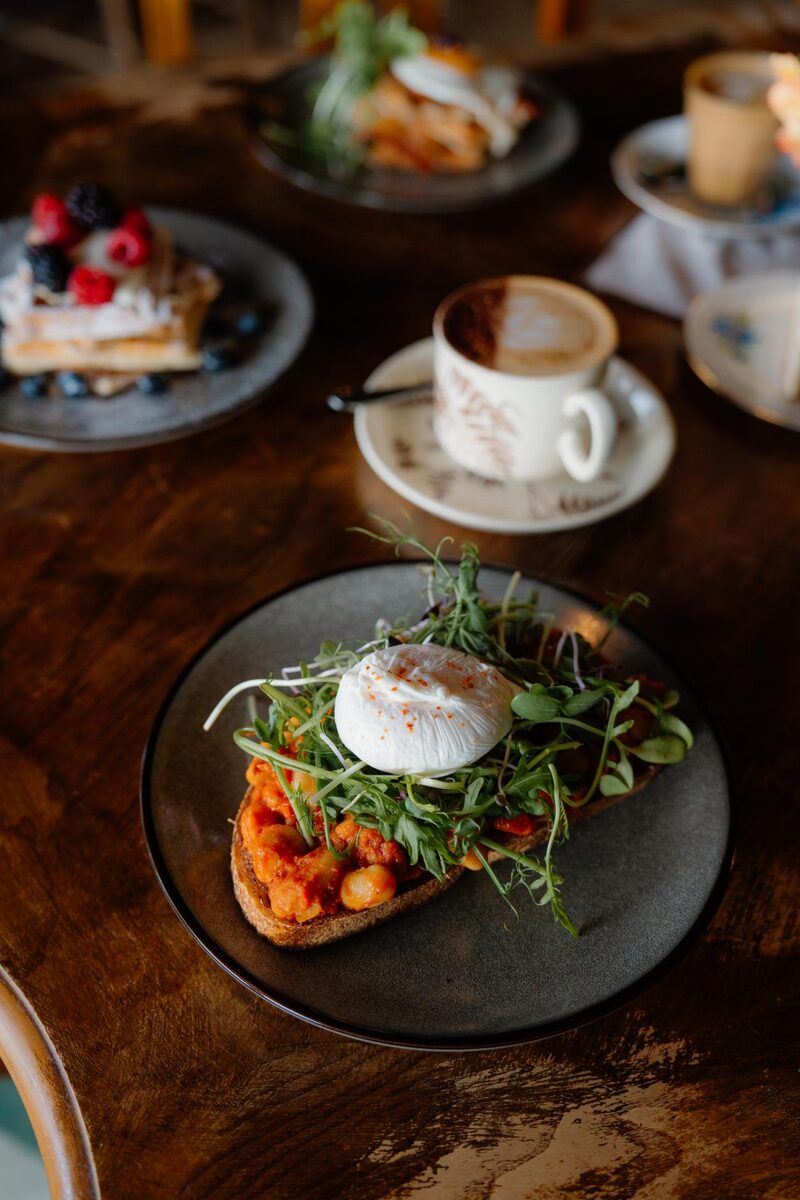 10 min by roadA caféBog Myrtle CaféA café, bakery and bookshop at Struan, with stained glass, velvet sofas and sourdough in almost everything.
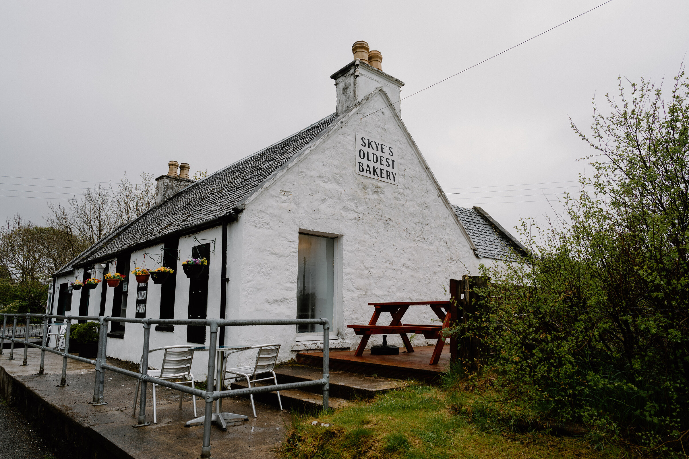 7 min by roadA caféDunvegan Bakery & Coffee ShopSkye's oldest bakery, said to date from around 1870: a white cottage in Dunvegan with old-school cakes and good coffee.
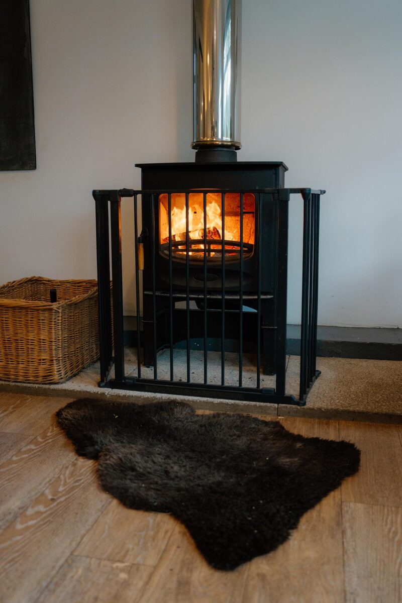 15 min by roadA caféCafe LephinA small black timber café in Glendale on the road to Neist Point, with a wood-burning stove and tall cheese scones.
With the rest of the day
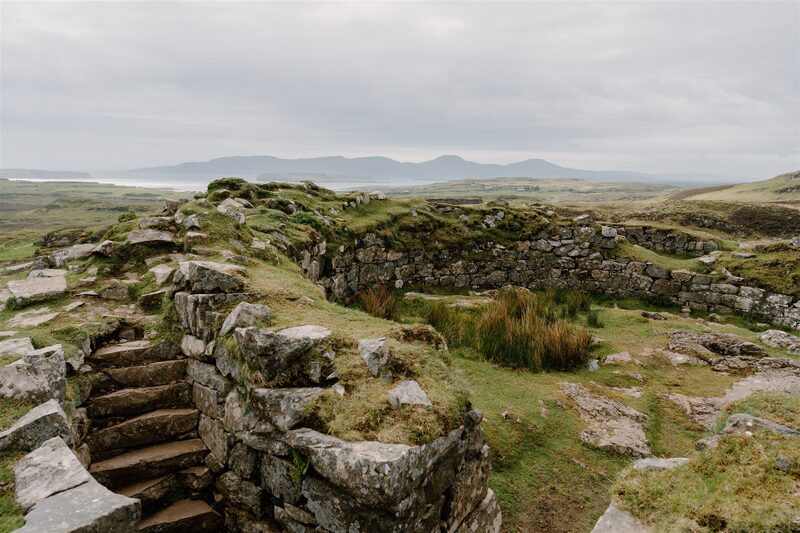 9 min by roadThings to doDun Beag BrochOne of the best-kept brochs on Skye, an Iron Age tower on a knoll above Loch Bracadale, free and open all year.
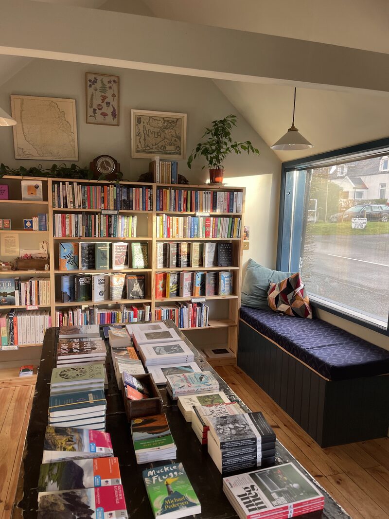 9 min by roadA shopWaystone BooksA small independent bookshop and coffee stop in a whitewashed cottage in Dunvegan.
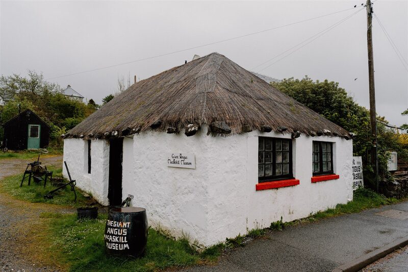 9 min by roadThings to doGiant MacAskill MuseumA small museum in a thatched cottage on Dunvegan's main street, with a life-size figure of Angus MacAskill, the Hebridean giant who grew to nearly eight feet.
For dinner
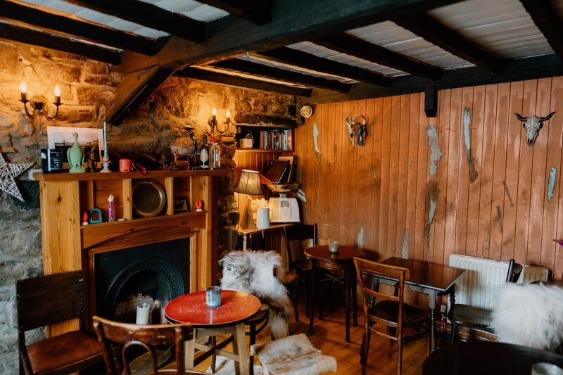
The Stein Inn Bar in Stein, 15 minutes by road. Thought to be Skye's oldest inn, on the shore of Loch Bay in Waternish, with a panelled bar, a fire and around 130 malts.
Places to stay near the walk
Our places to stay nearest the start, by road.
An advert · Colbost
Tigh an Tobair
A four-bedroom house for eight at Colbost, near Dunvegan on Skye, with floor-to-ceiling windows over Loch Dunvegan and a wood-fired hot tub on the deck.
Sleeps 8 · 11 minutes by road
See Tigh an Tobair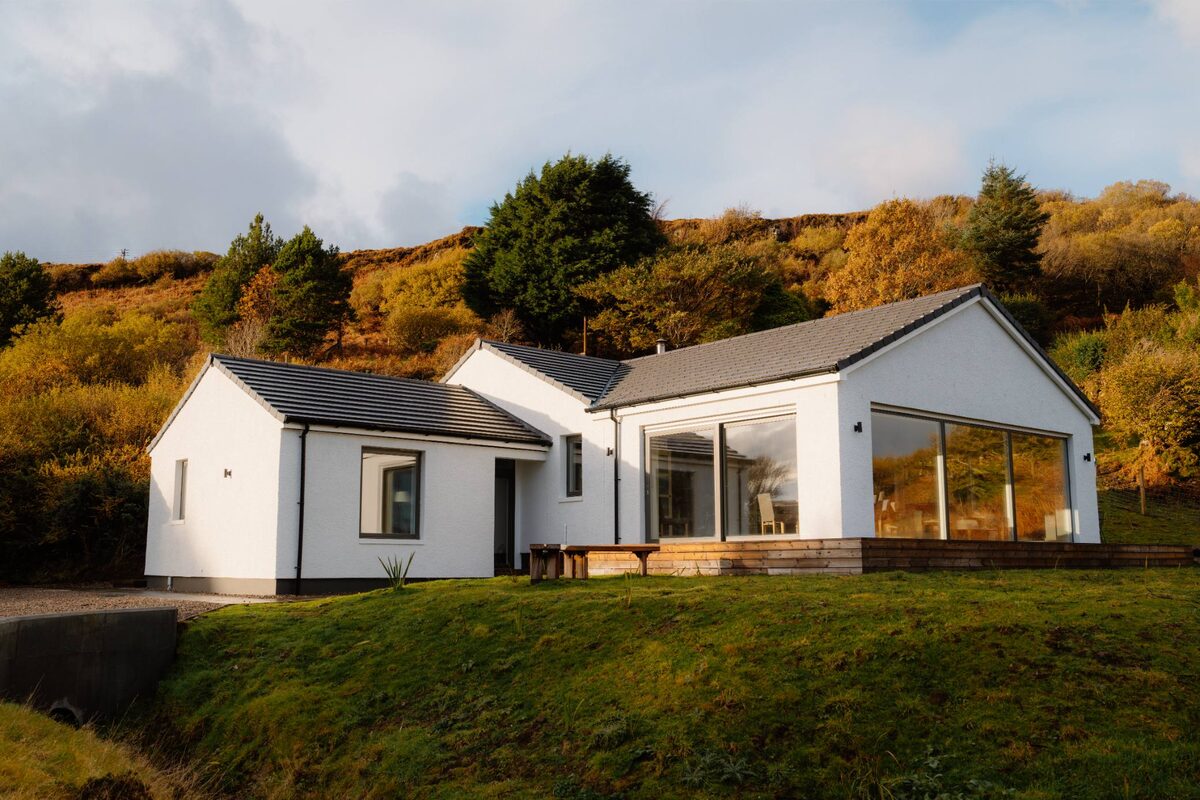
More places to stay near the walk
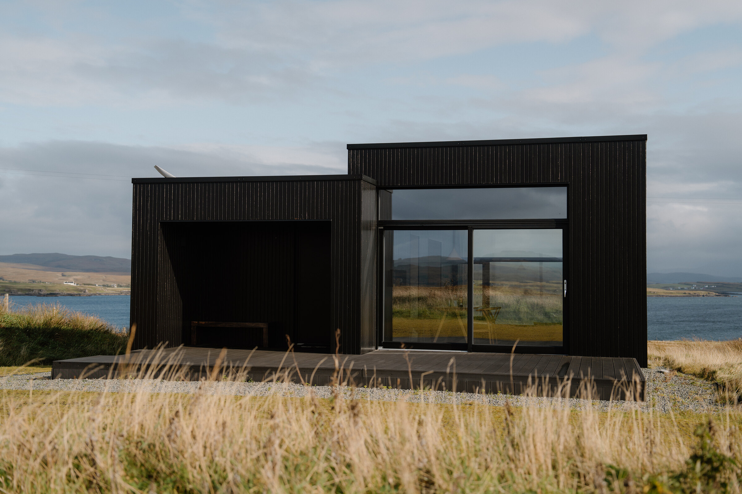 An advert · HarloshHarlosh Black hSleeps 2 · 8 minutes by road
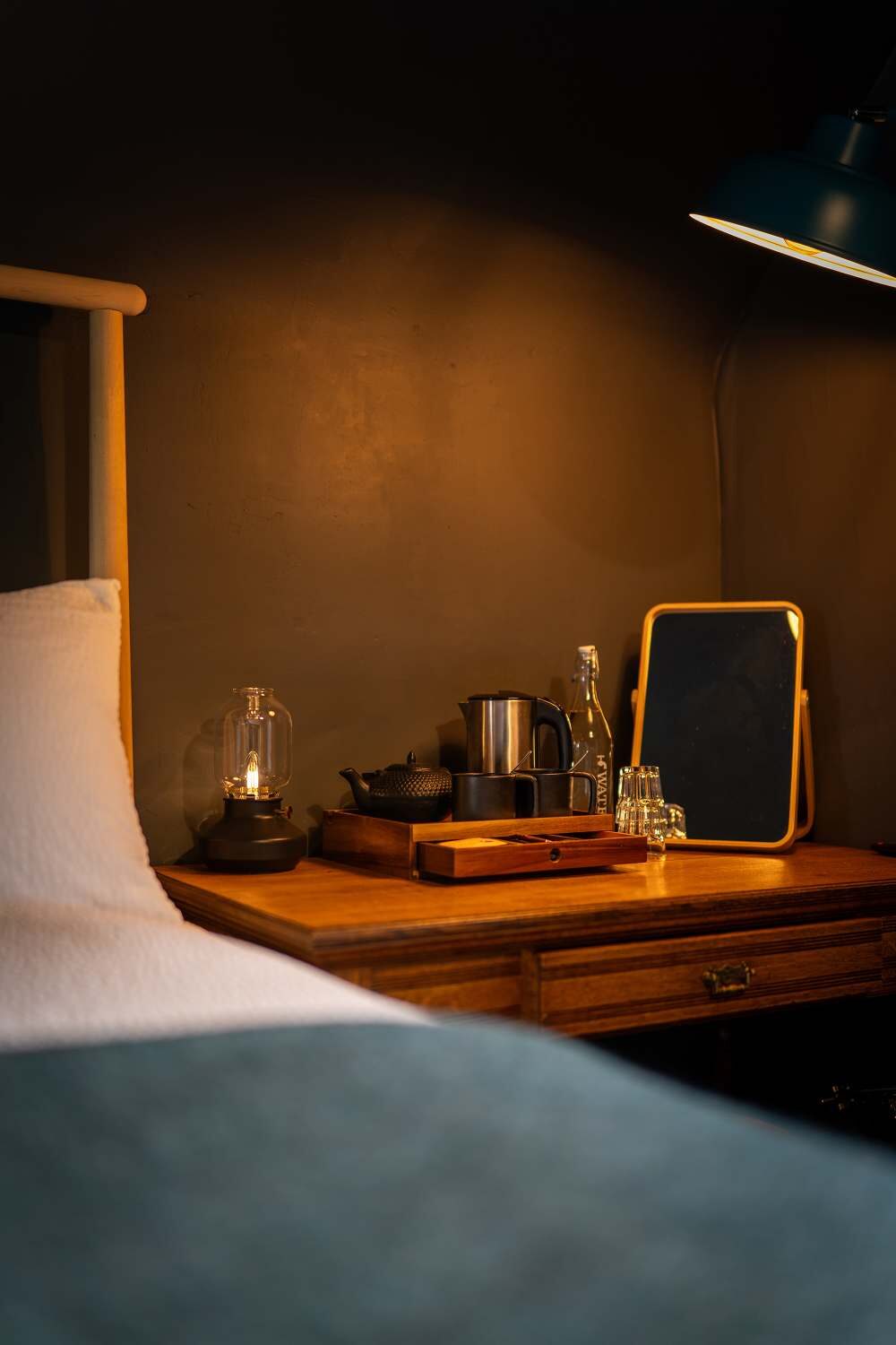 An advert · DunveganThe Dunvegan9 minutes by road
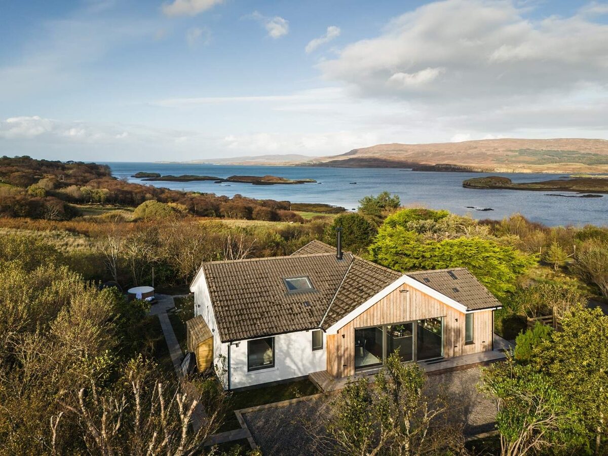 An advertLochviewSleeps 4 · 11 minutes by road
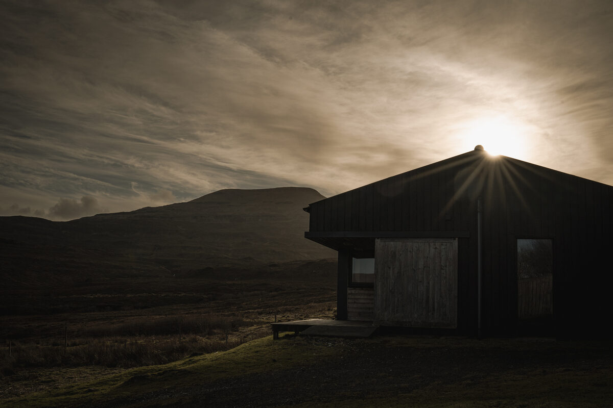 An advert · SkinidinThe Black ShedSleeps 2 · 12 minutes by road
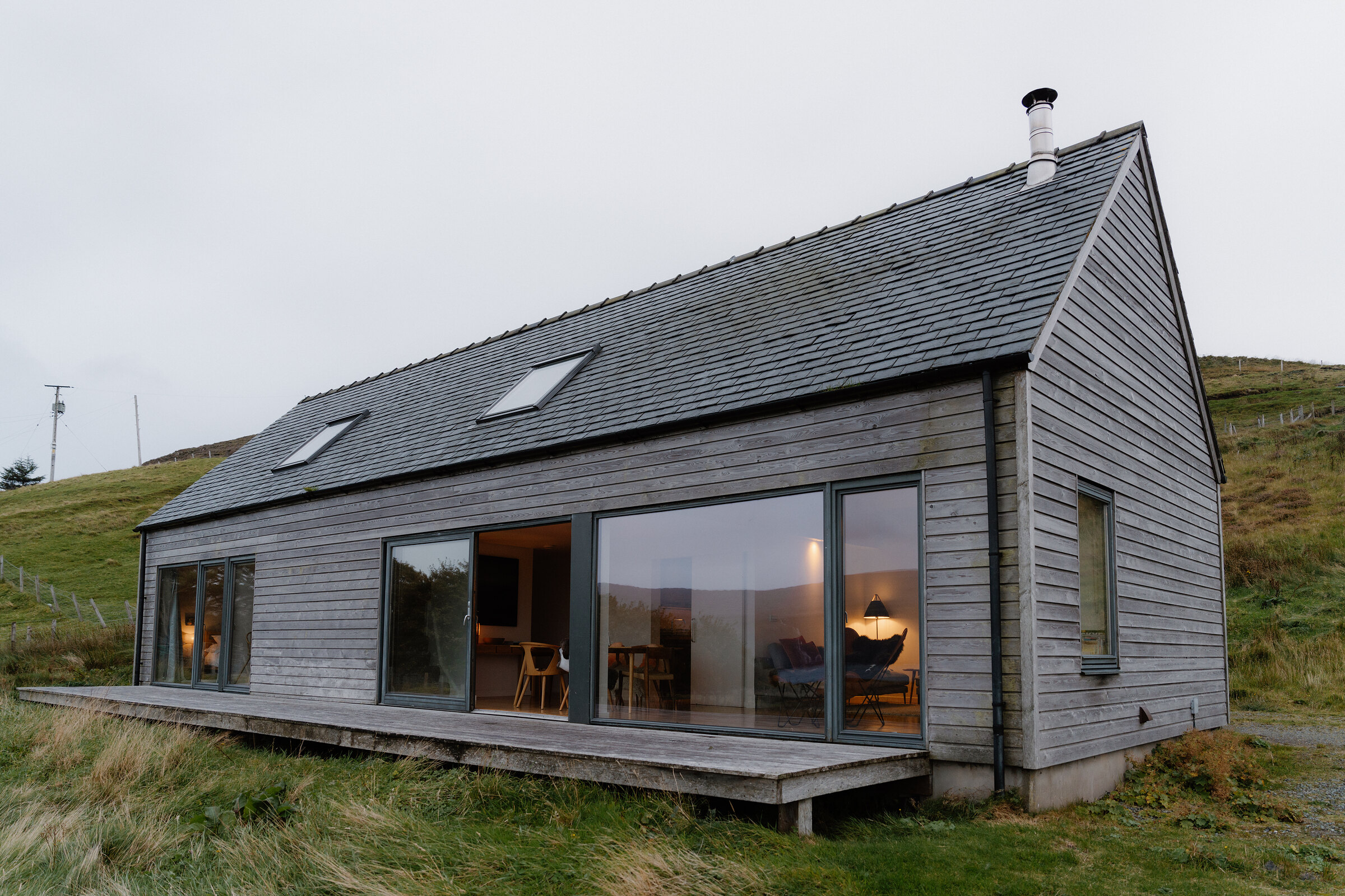 An advert · Lower MilovaigHarlosh Wood hSleeps 6 · 18 minutes by road
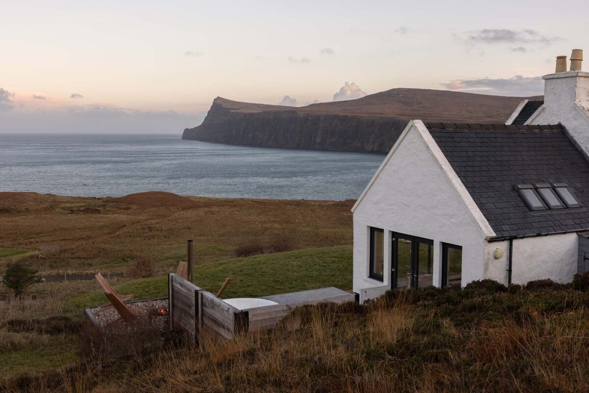 An advert · MilovaigMilovaig HouseSleeps 4 · 19 minutes by road
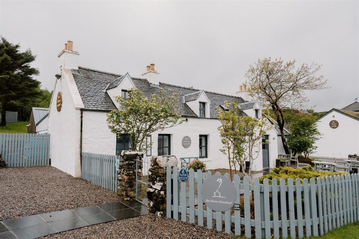 ColbostThe Three Chimneys11 minutes by road
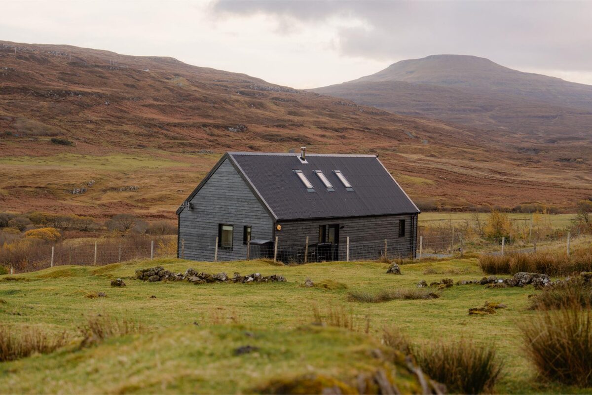 GlendaleBlack Box CabinSleeps 4 · 17 minutes by road
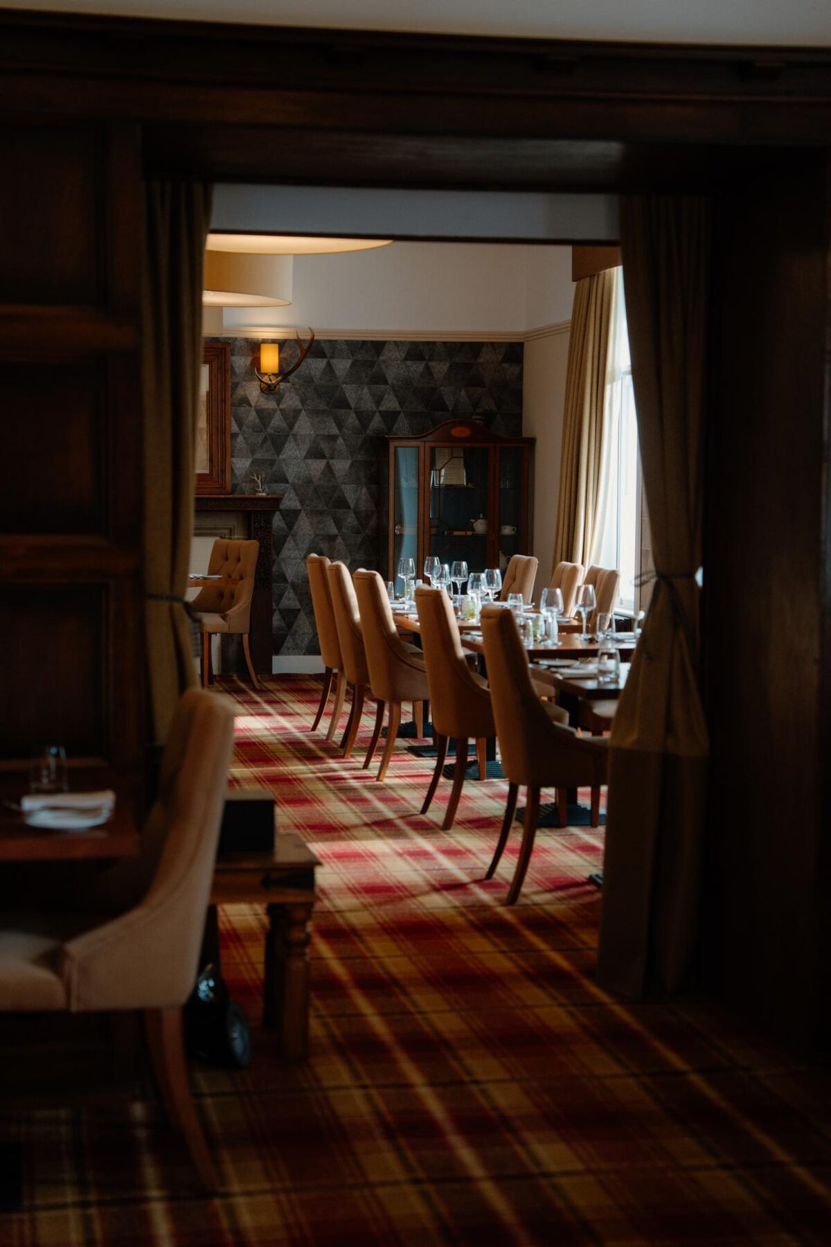 Skeabost BridgeSkeabost House Hotel25 minutes by road
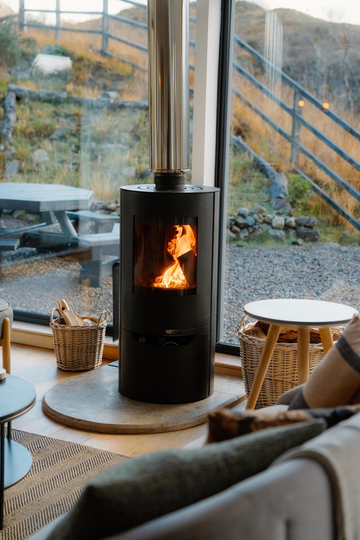 SligachanSligachan BlackhousesSleeps 6 · 28 minutes by road
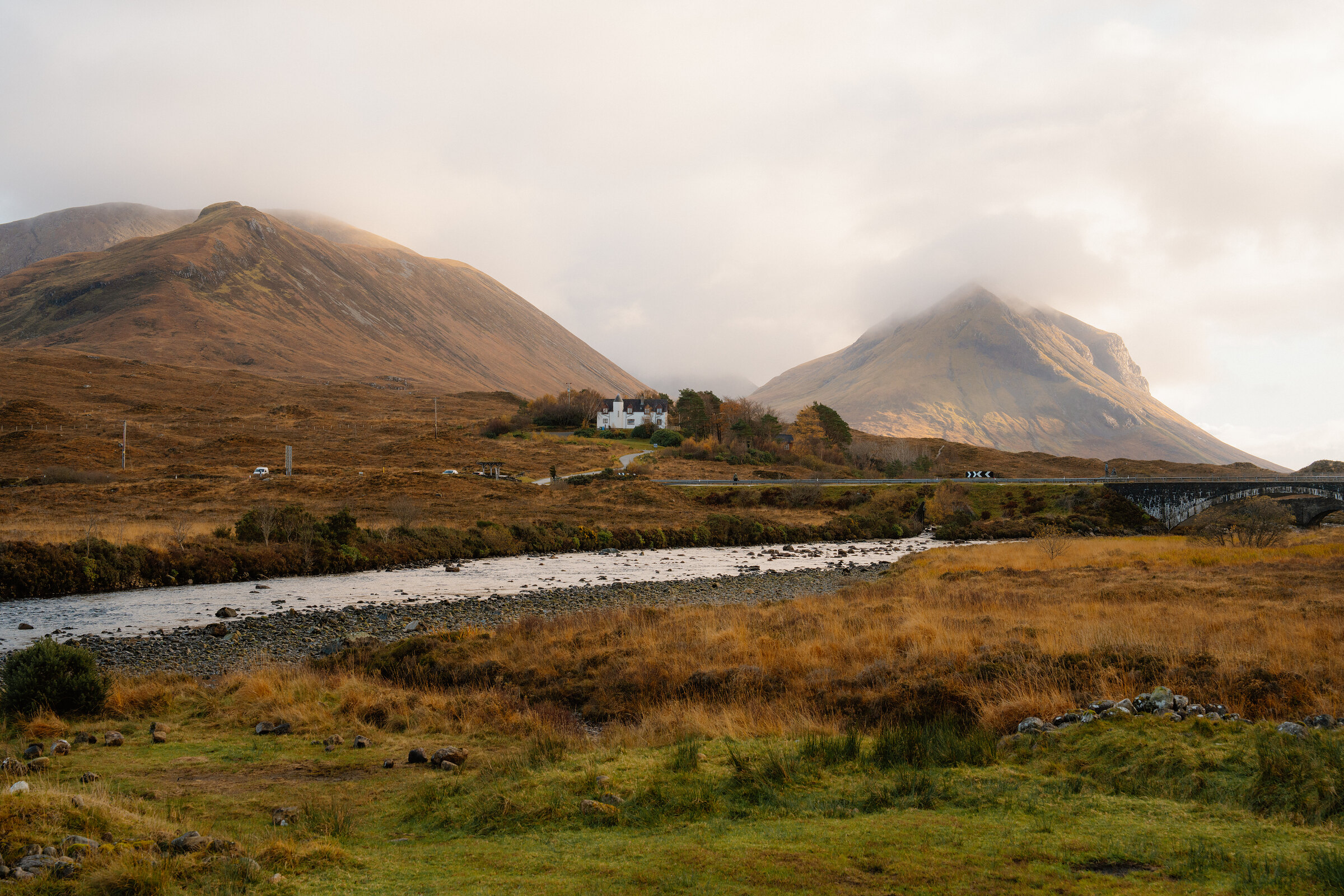 SligachanSligachan Campsite29 minutes by road
More walks near here
Within a short drive of the start.
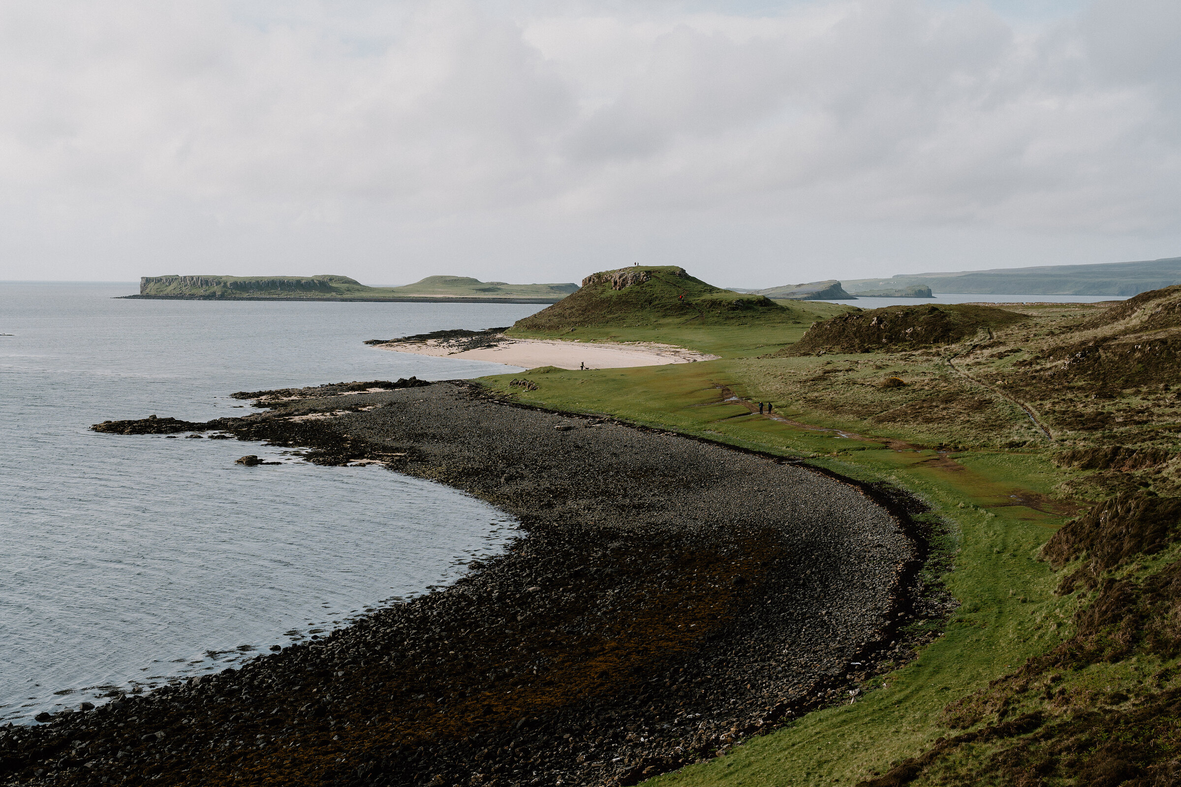 16 min by roadA walkThe Coral Beach2¼ miles, about 45 minutes
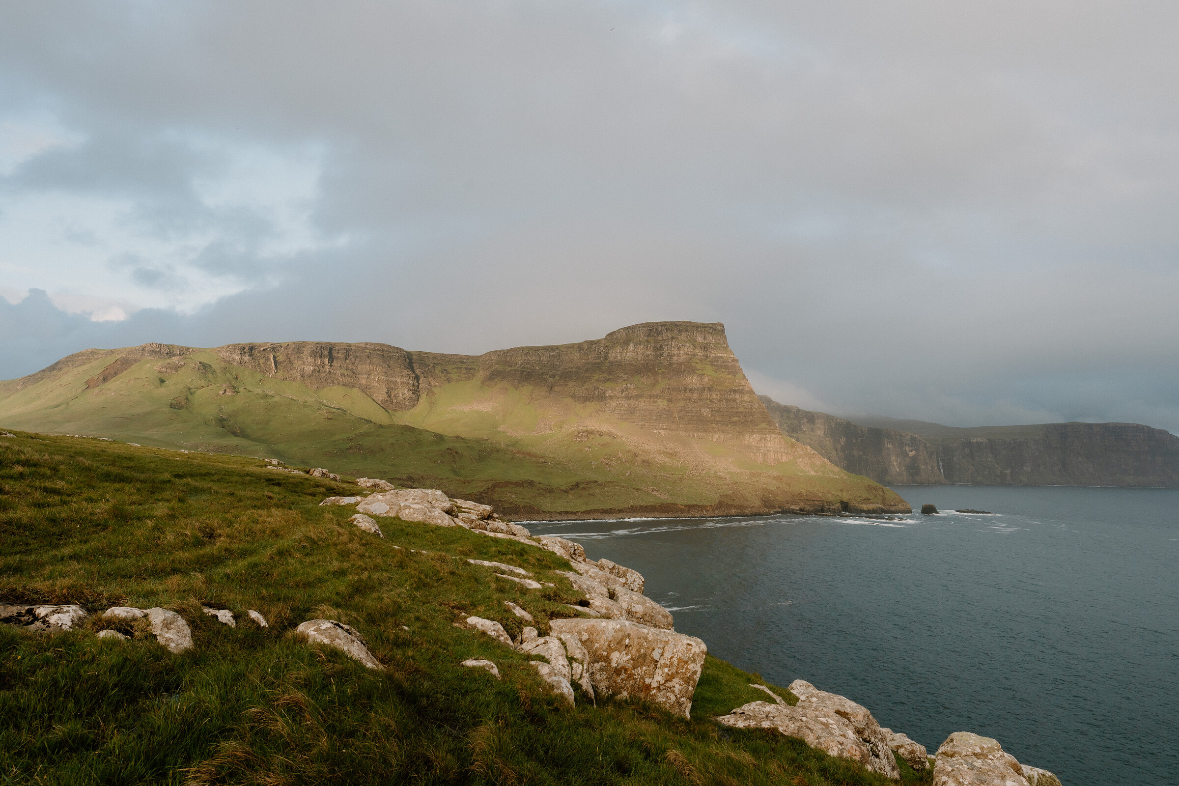 17 min by roadA hillWaterstein Head2½ miles, about two hours
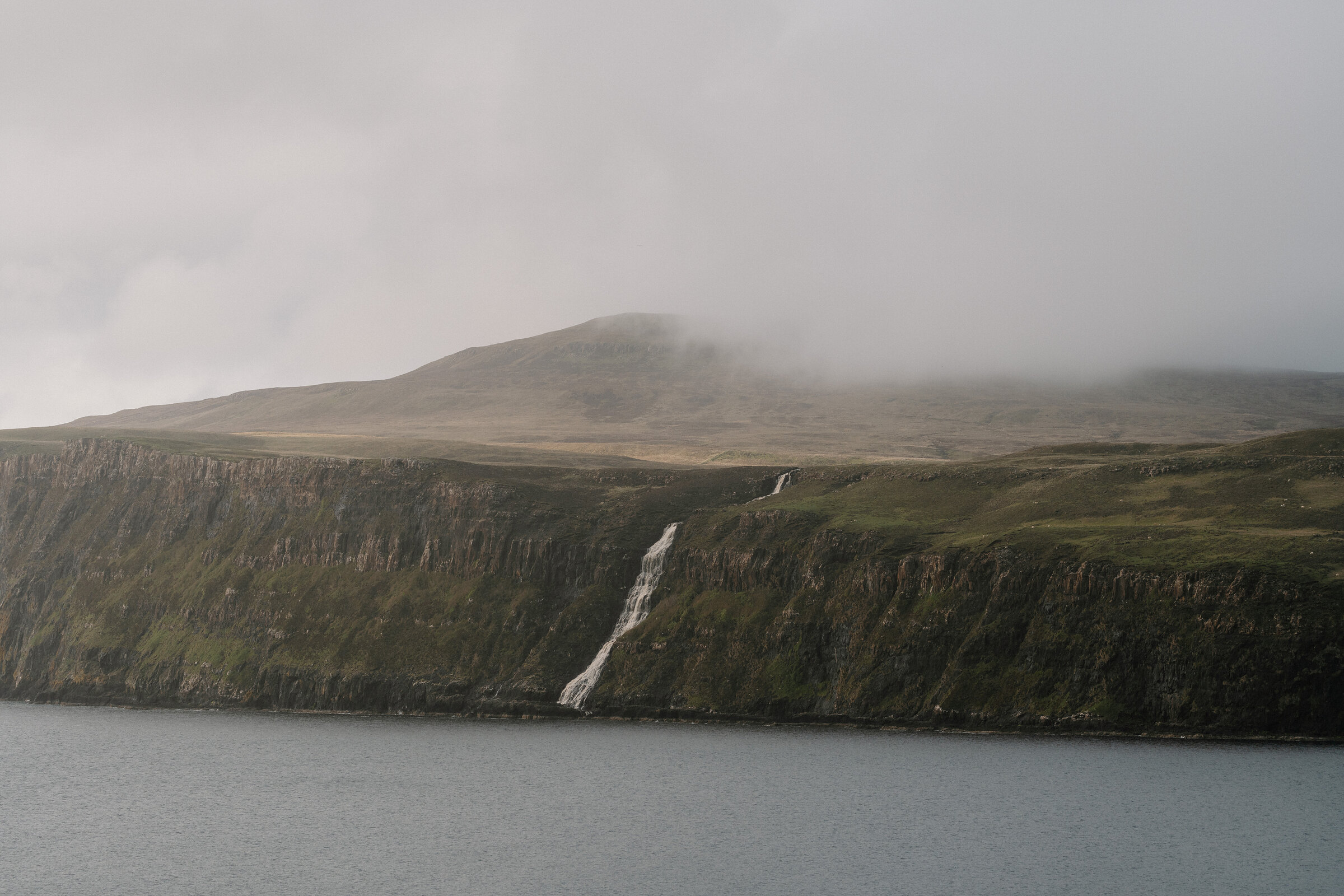 18 min by roadA walkMilovaig2 miles, about an hour
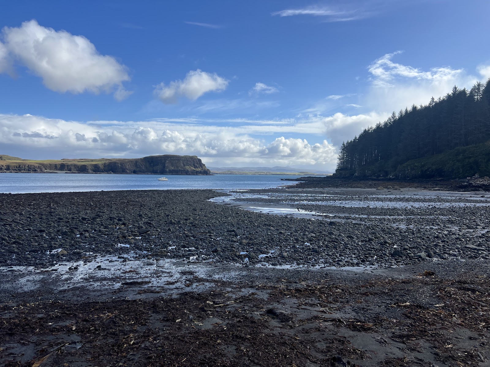 10 min by roadA walkDunvegan4 miles, about three hours
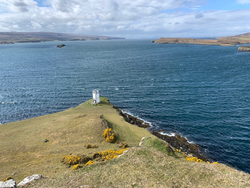 11 min by roadA strollUiginish Point1¼ miles, about two hours
 19 min by roadA long dayWaternish Point8½ miles, about four hours
Did this walk?
Tell the next person how it went. The best go on this page, with your name.
For further reading, before you go.
- Loch Bracadale Aquaculture Framework Plan, the Highland Councilhighland.gov.uk↗
- Dun Neill, the Highland Historic Environment Recordher.highland.gov.uk↗
- Harlosh Island, Wikipediaen.wikipedia.org↗
- Dog walking, the Scottish Outdoor Access Codeoutdooraccess-scotland.scot↗
- Bog Myrtle on Instagraminstagram.com↗
Maps from OpenFreeMap © OpenMapTiles, data © OpenStreetMap contributors; heights from Mapzen's terrain tiles.