
Loch Tay
A Highland loch fourteen and a half miles long between Kenmore and Killin, more than 150 metres deep, with Ben Lawers rising above its north shore.
Welcome
There's something about a long Highland loch on a still morning, and Loch Tay is one of the loveliest in Scotland.
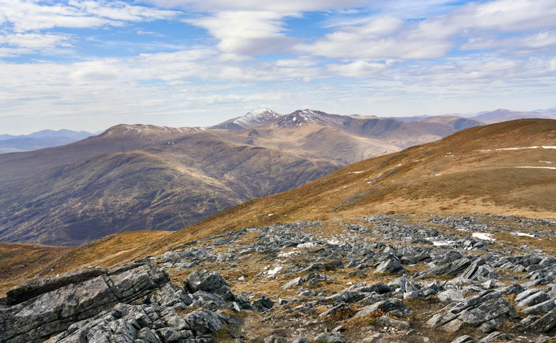
It runs for fourteen and a half miles through the hills of Breadalbane, from Killin at its head, where the River Dochart pours in, to Kenmore, where the River Tay flows out. It's deep, too, at more than 150 metres in places. Ben Lawers, the highest mountain in Perthshire, rises above the north shore, and a road runs along each side, so you can drive right round it in an afternoon. Start at Kenmore, with its white village and the view straight up the loch to the hills, then head west along the north shore to the Scottish Crannog Centre, a living museum of the Iron Age on the water's edge. On the quieter south side, a short walk climbs to the Falls of Acharn. Finish at Killin, where the river rushes white under the old bridge at the Falls of Dochart.
The Daily
Arrives at 5am every day.
A free morning email to see what’s on this week, catch up on what’s happening in Scotland and find somewhere new to go.
Before you go
Open at all times and free, with roads along both shores between Kenmore and Killin.
- Where
- In Highland Perthshire, between Kenmore at the east end and Killin at the west.
- Open
- At any time; free.
- The roads
- A road runs along each shore from end to end, so you can drive round the loch.
- On the shore
- The Scottish Crannog Centre on the north shore at Dalerb, and the Falls of Acharn above the south shore.
- Dogs
- Welcome, under close control.
Been here? Tell others what you know, and the best go on this page with your name.
Add your reviewWhere it is
In Highland Perthshire, fourteen and a half miles from Kenmore in the east to Killin in the west.
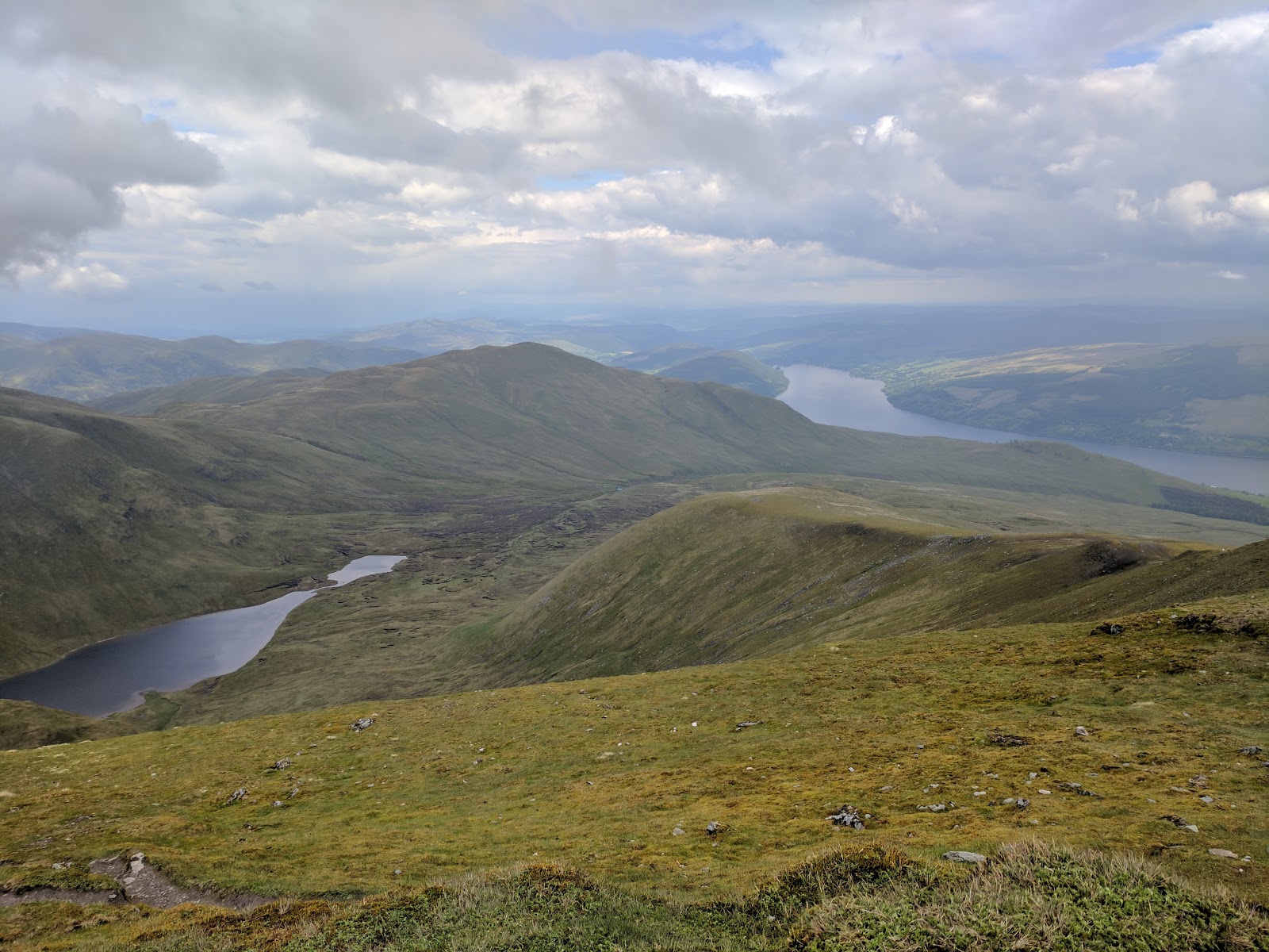
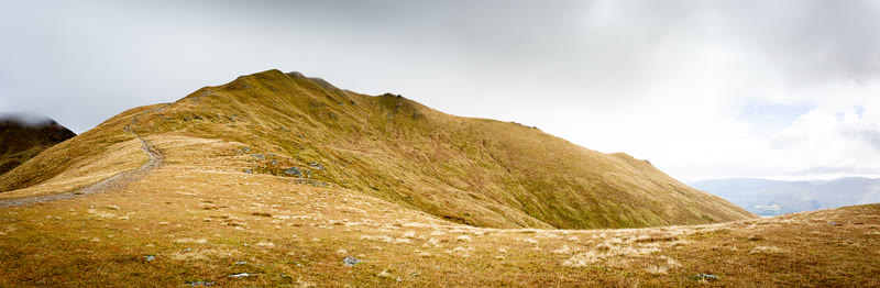
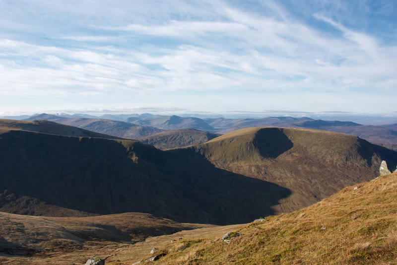
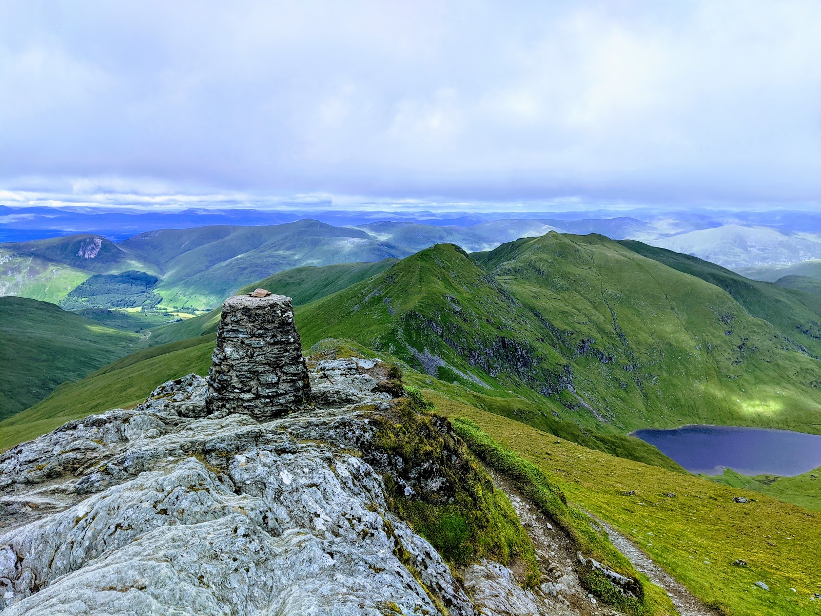 Ben LawersA Munro of 1,214 metres above the north shore of Loch Tay, climbed over Beinn Ghlas from the National Trust for Scotland's car park on the Ben Lawers National Nature Reserve.4 miles as the crow flies
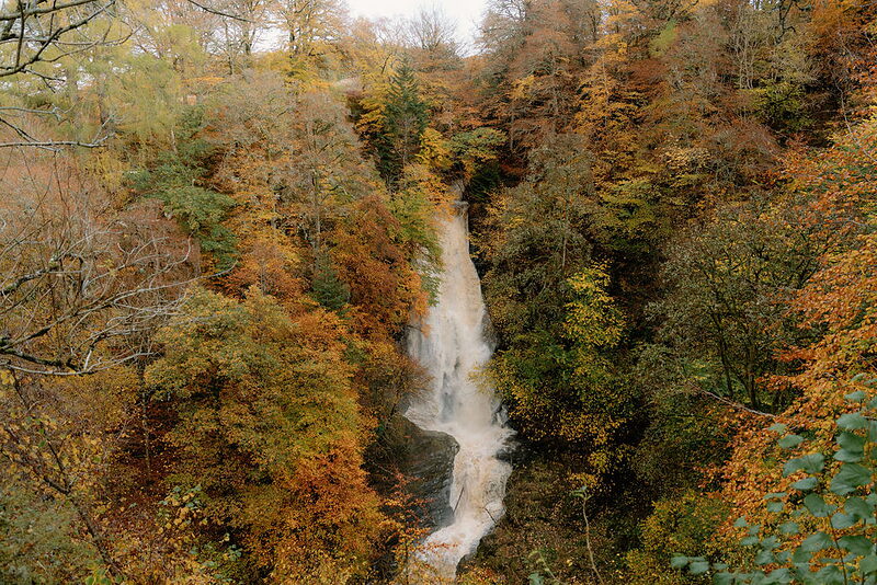 Falls of AcharnTwo waterfalls in a wooded gorge above Loch Tay at Acharn, seen from an eighteenth-century folly, the Hermit's Cave, at the end of a dark stone tunnel.5 miles as the crow flies
 The Scottish Crannog CentreA living museum of the Iron Age on the north shore of Loch Tay at Dalerb, with a rebuilt crannog, roundhouses and ancient crafts shown by hand.6 miles as the crow flies
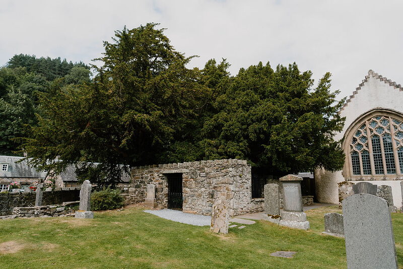 Fortingall Yew TreeAn ancient yew in the churchyard at Fortingall, at the mouth of Glen Lyon, thought to be between two and five thousand years old.6 miles as the crow flies
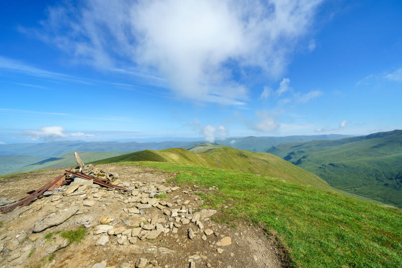
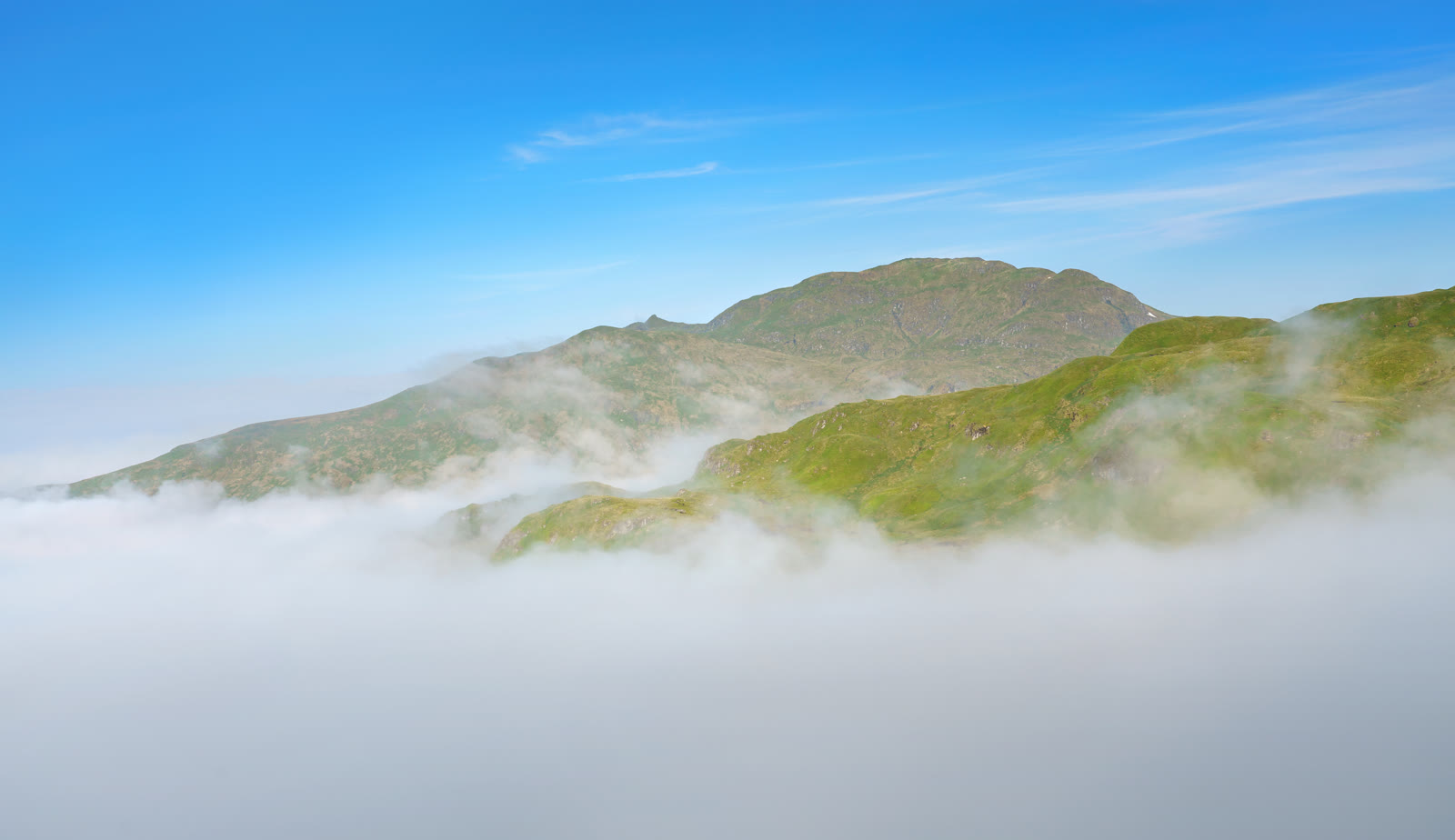 Meall nan TarmachanA Munro of 1,044 metres above Loch Tay, climbed from the hill road between Loch Tay and Glen Lyon by its south-east ridge.6 miles as the crow flies
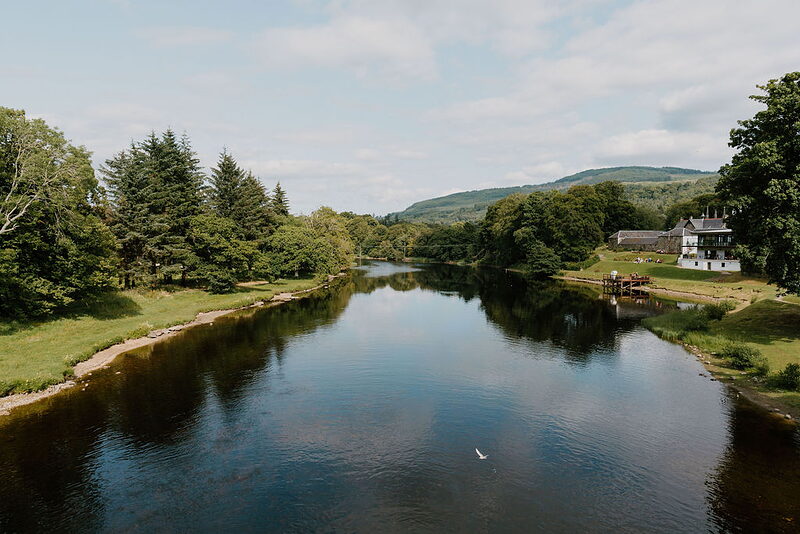 KenmoreA white-harled planned village where the Tay leaves Loch Tay, built by the Earl of Breadalbane after 1755, with an inn dated 1572 and a bridge of 1774.7 miles as the crow flies
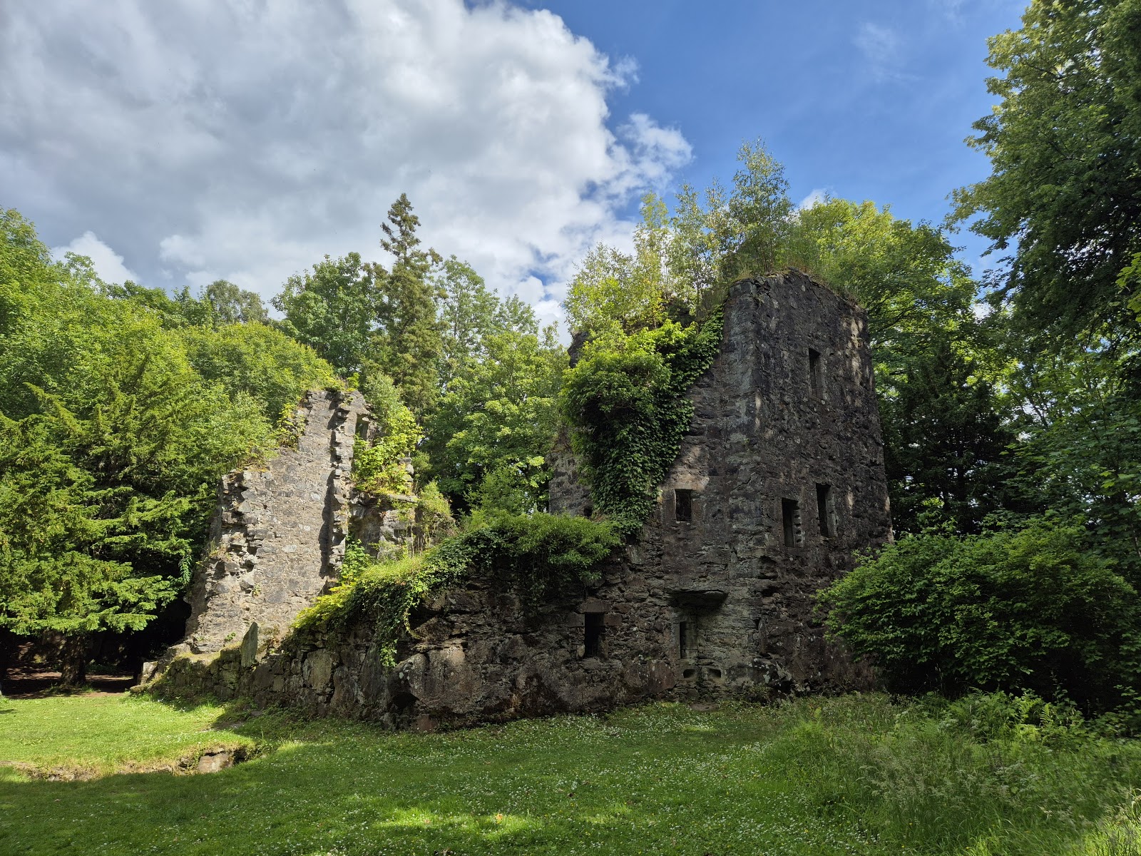 Finlarig CastleThe overgrown ruin of Black Duncan Campbell's castle of the 1620s by Killin, with a stone pit that folklore calls a beheading pit.8 miles as the crow flies
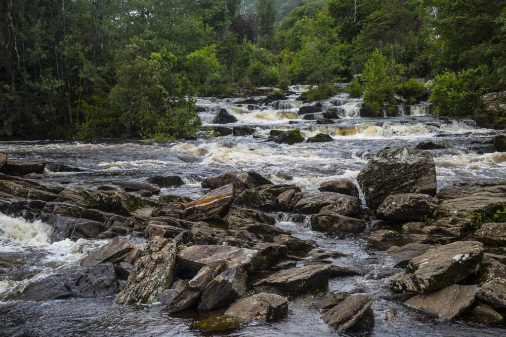 Falls of DochartRapids pouring under the old bridge at Killin, with the MacNab chiefs' burial island in the river.8 miles as the crow flies
Stay nearby
Places to stay near the loch, and when each is next free.
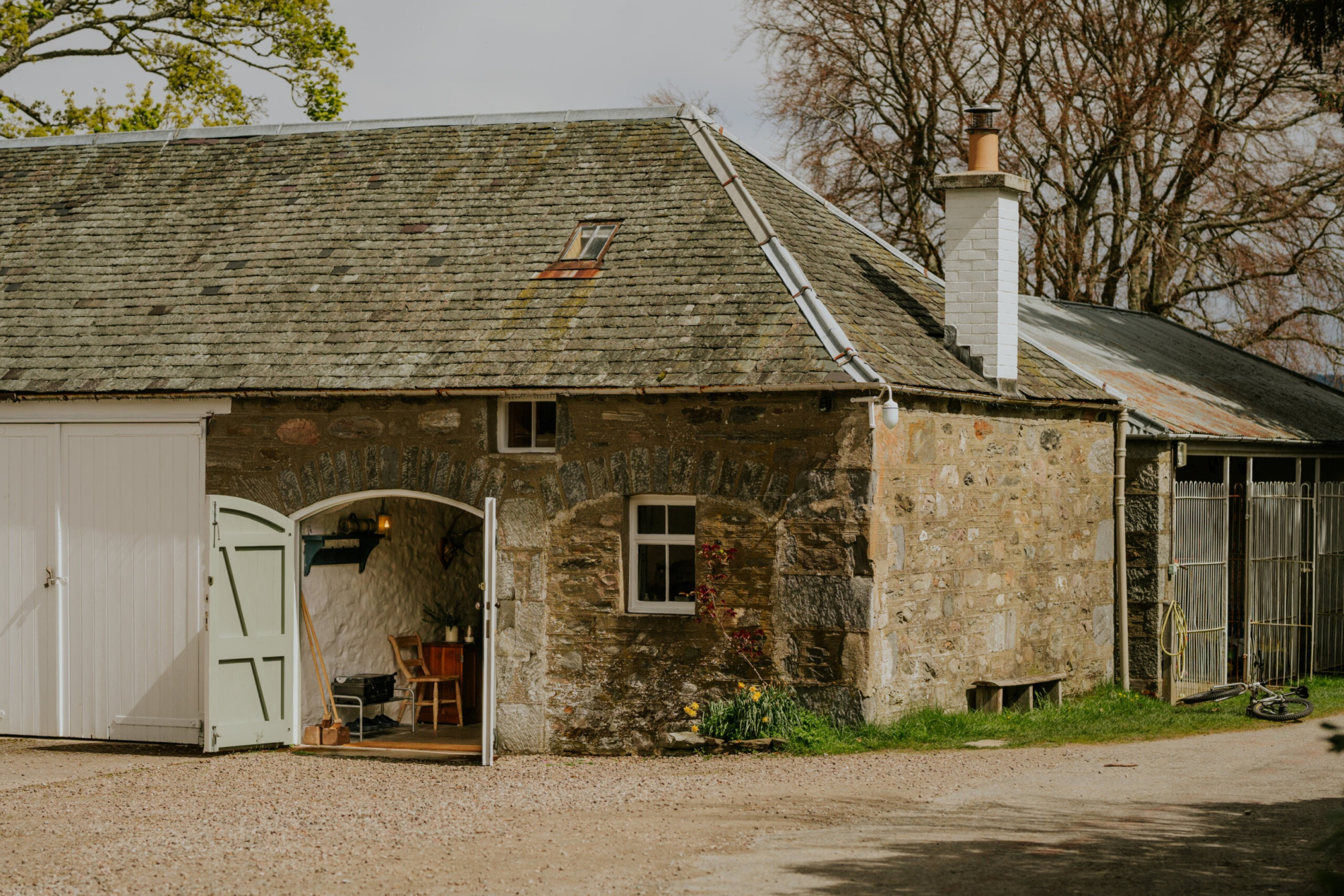 West Tempar Bothy
- Sleeps 2
- In Perthshire
- 12 miles from Loch Tay
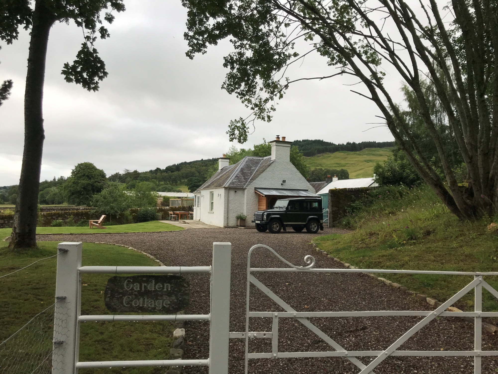 Garden Cottage
- Sleeps 2
- In Perthshire
- 12 miles from Loch Tay
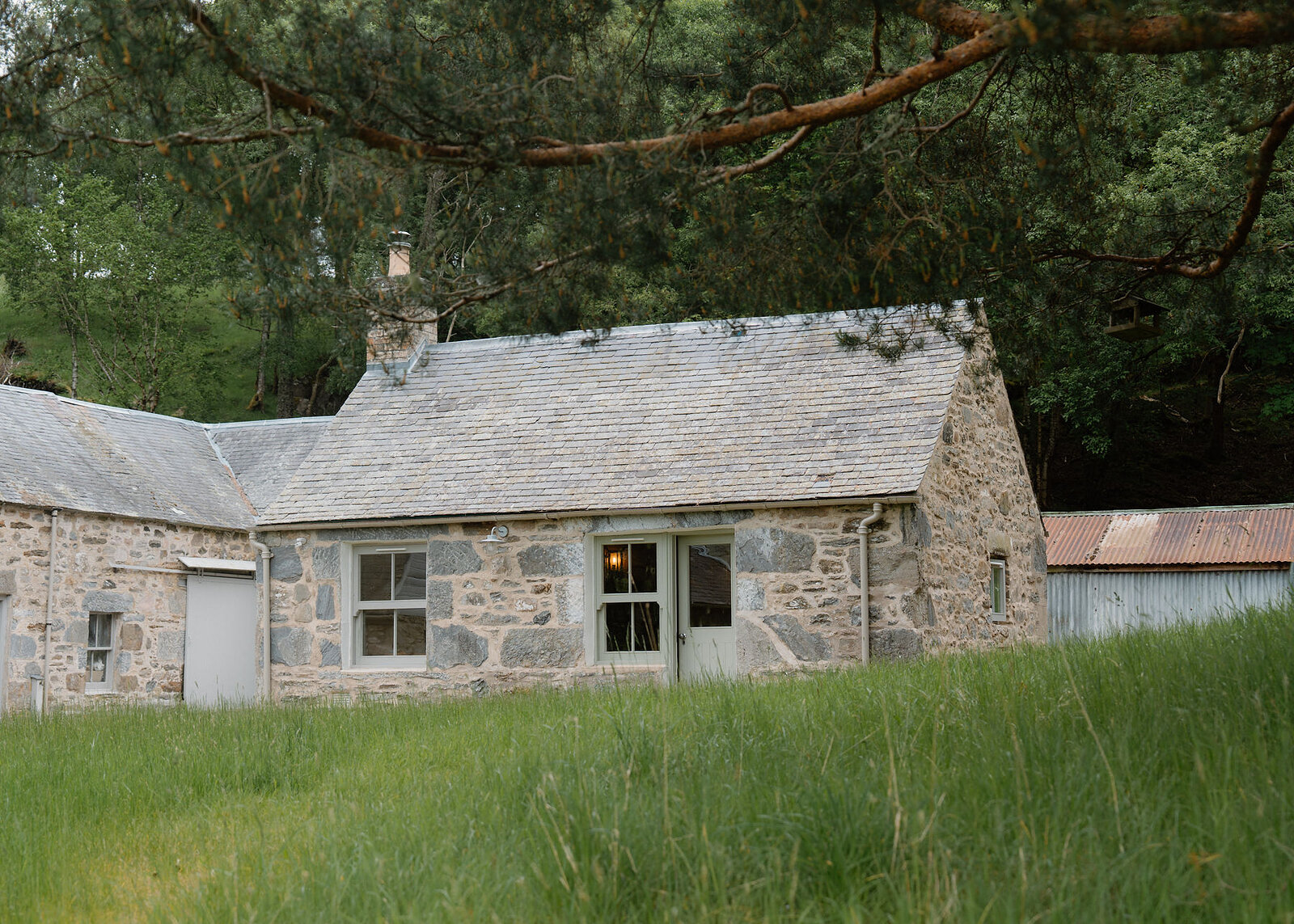 Lassintullich Bothy
- Sleeps 2
- In Perthshire
- 12 miles from Loch Tay
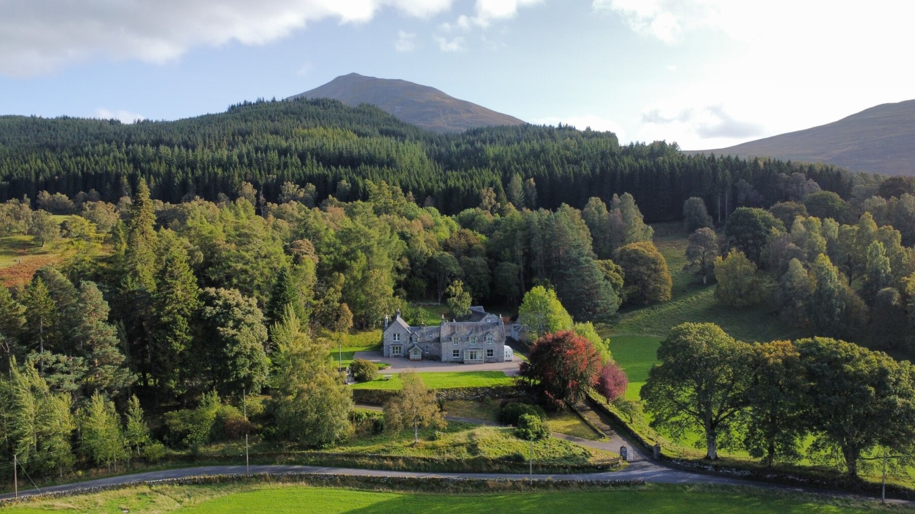 Lassintullich House
- Sleeps 16
- In Perthshire
- 12 miles from Loch Tay
Scotland, in print.
We want to show you the best that Scotland has to offer. The makers and the creatives, the enduring experiences, the evocative tales, the concealed corners. The roads less travelled that take you to places that matter. The adventures that gather you up and sweep you away. The blend of the wild and the artistic that makes Scotland what it is. We’d love for you to join us.
Find out more
For further reading, before you go. The details on this page were checked on .
- Loch TayIts depth, area and water.uklakes.ceh.ac.ukUK Centre for Ecology and Hydrology↗
- Loch Tay, lower sectionThe bathymetrical survey map of 1902.maps.nls.ukNational Library of Scotland↗
- The Scottish Crannog CentreThe Iron Age on the north shore, and its opening times.crannog.co.ukOfficial↗
- Loch Tay on Google MapsThe loch and the roads round it.google.comGoogle↗