
The Loch Ness 360 – Drumnadrochit, Fort Augustus and Foyers
Six days on foot, from Inverness and back.
The route
The Loch Ness 360 is a waymarked walk right round Loch Ness, about 80 miles from Inverness Castle and back to it, and this is the trail's own six-day plan.
The first three days follow the Great Glen Way down the north side, by Abriachan and Drumnadrochit to Invermoriston and Fort Augustus, where the Caledonian Canal meets the loch. The last three come back up the quieter south side on the South Loch Ness Trail, over the hill at Suidhe to Whitebridge and Foyers, then by a high pass to Dores and across the moor to Inverness. The days run from 7.5 to 20 miles. The north side has shops and beds along the road; the south side has few of either, and takes more planning. This plan is for walkers. By mountain bike, on its low routes, the trail takes three to four days.
Before you go
Book a bed near Inverness the night before
Set out walking from Inverness on a Thursday, Friday, Saturday, Sunday or Monday; with day one split at Abriachan, on a Wednesday, Thursday, Friday, Saturday or Sunday. Sleep in Inverness the night before: six nights to book, or seven with the split.
Book a bed near Drumnadrochit
Drumnadrochit has the most beds on the loch: hotels, inns, B&Bs, a hostel and a campsite. To split the 20-mile first day at Abriachan, book two nights here and a taxi down from Abriachan and back up next morning; that makes the walk seven days.
Book this night first on the north side: the Glenmoriston Arms has been closed for refurbishment, which leaves a few B&Bs and guest houses. Ask whether it has reopened, and ask about an evening meal when you book: carry one in if there is none.
Book a bed near Fort Augustus
Fort Augustus has hotels, guest houses, B&Bs and a hostel, and it is busy all summer with people on the road through the Great Glen. Book ahead.
The nearest of ours is The Lovat Hotel in Fort Augustus.
Foyers has only a few places to stay, among them Foyers Lodge and the Craigdarroch Hotel. If they are full, the Whitebridge Hotel, three and a half miles short on the trail, has rooms, though sleeping there makes day five about 17 miles.
Book a bed near Inverness after Dores
Book the fifth night in Inverness, and ask to leave your bag there while you walk the last day. The 302 bus brings you in from Dores in the evening and takes you back out next morning, Monday to Saturday only: check the times. If you miss a bus, book a taxi.
Book a bag carried from bed to bed
Loch Ness Hub and Travel, the community-run firm in Drumnadrochit, moves bags round the Loch Ness 360 from one night's bed to the next, 20 kg a bag at most. Bags go out early: check the operator's times.
Book dinner at Fiddler's in Drumnadrochit
Fiddler's, the restaurant on the green, recommends booking a table for dinner, above all in summer.
Book lunch at the Whitebridge Hotel
The Whitebridge Hotel is the only place to eat between Fort Augustus and Foyers and recommends booking a table: lunch runs from noon to 2.30pm, Tuesday to Saturday, with a roast on Sundays and no lunch on Mondays.
Day one
Drumnadrochit
The longest day comes first. From Inverness Castle the Great Glen Way follows the river and the canal out of the city, then climbs through woods to the open moor and the forest at Abriachan before a steep drop to Loch Ness. It's 20 miles to Drumnadrochit, a full day on your feet.
Inverness
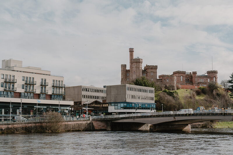
The walk starts at Inverness Castle, above the River Ness, a few minutes from the trains and coaches from Edinburgh and Glasgow: check the times. The Great Glen Way, marked in blue with a thistle, follows the river through the Ness Islands, crosses the Caledonian Canal by the swing bridge at Tomnahurich and turns uphill past a golf course and the houses of Kinmylies. Carry waterproofs, warm layers, a map and compass, and food and water for the whole day: nothing before Drumnadrochit is sure to be open.
Dunain Community Woodland
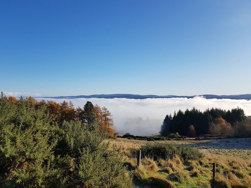
The first climb, about four miles out, is through Dunain Community Woodland. Turn round here: the Moray Firth lies behind you, beyond the city. Ahead the path runs on through forest, with glimpses of Ben Wyvis away to your right, to the few houses at Blackfold, where the trees thin and a well-made path sets out across open moorland. It drops to a quiet road, which the Way follows for two and a half miles. There is no shop or café on this stretch.
Abriachan
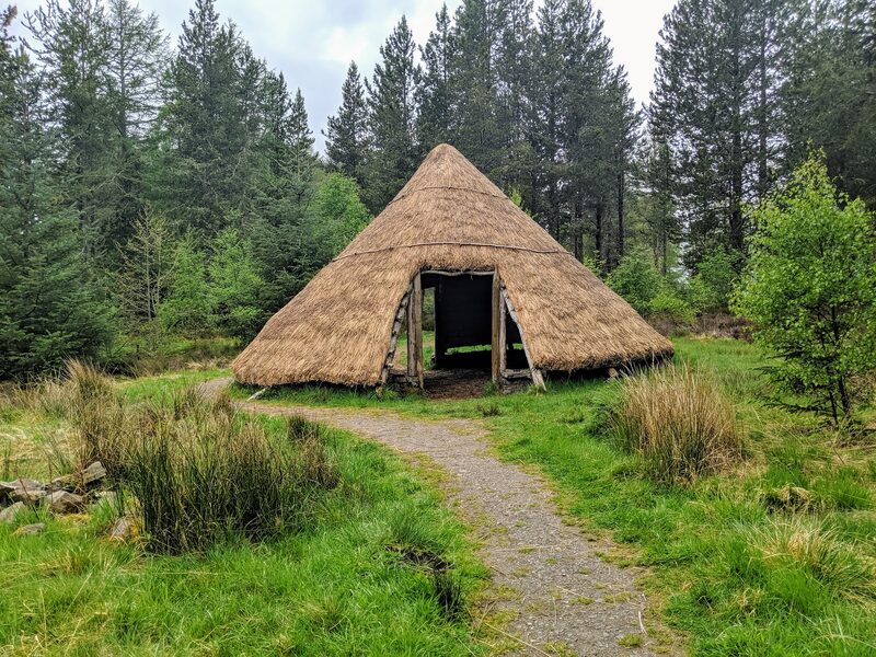
About 12 miles in, some walkers break this day at Abriachan. Its community bought the forest from the Forestry Commission in 1998, and the Abriachan Forest Trust has toilets and picnic tables beside the Way. A café in the woods just before it may be open; don't count on it. A newer high path climbs to 434 metres, the Way's highest point; the forest road below is easier. No bus comes up here: splitting the day means a taxi booked ahead to Drumnadrochit and back, and a seven-day walk.
Drumnadrochit
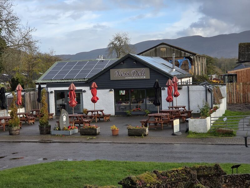
Drumnadrochit is the first night. Where the path leaves the woods at a gate above the village, Loch Ness and Urquhart Castle show on your left: the walk's closest view of the castle. The last mile is a pavement beside the fast A82. The village has a supermarket, a pharmacy and the most beds on the loch, which still need booking. Fiddler's, a restaurant on the green, serves dinner from 5.30pm to 9pm and recommends booking. The castle, two miles down the A82, needs a timed ticket bought well ahead.
If it rains
Most of the day is forest track and it goes in ordinary rain. The moor beyond Blackfold and the high path at Abriachan are open to the wind: in low cloud take the forest road through Abriachan, which is the Way's original line and tops out lower. The last descent to Loch Ness is steep and slippery with leaves when wet. If the day is too long, stop at Abriachan and ring for a taxi from Drumnadrochit; no bus comes up to the forest.
Day two
Invermoriston
A day in the forest high above the loch. The Way climbs out of Drumnadrochit to the road end at Grotaig, under the rounded hill of Meall Fuar-mhonaidh, then keeps to tracks and paths along the hillside, with Loch Ness far below through the trees. It's 14 miles by the low route to Invermoriston, where the River Moriston falls under an old stone bridge.
Grotaig
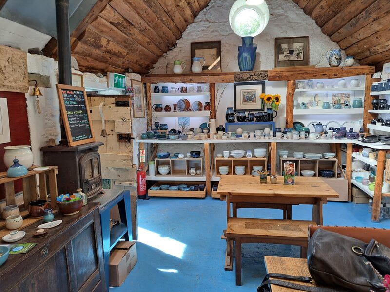
Five miles into the day, the hill road from Drumnadrochit ends at Grotaig. Loch Ness Clay Works, the pottery here, runs a small walkers' café, open every day from 10am to 6pm for tea, coffee and cake. It's the one sure stop before Invermoriston, so carry lunch. A path opened in 2026 keeps the Way off most of the road up. Soon a panel offers two ways on. Plan on the low route, sheltered in the forest; the high route climbs to 420 metres for the wider view.
Alltsigh
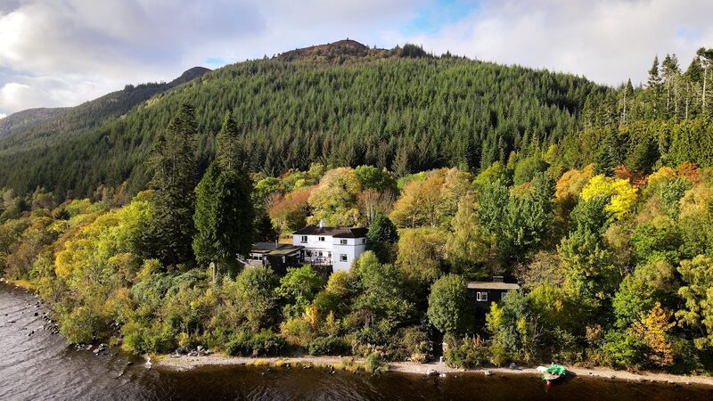
Alltsigh has two places to stay beside the low route: the Lochside Hostel, for guests of 16 and over, and Briar Bank, a B&B a hundred yards from the Way. Citylink's coaches stop at the hostel's door, so this is the way out if the day has gone badly; check the times first. Further on is the Stone Cave, a shelter built in the 19th century for a washerwoman who walked this way to her work at the inn in Invermoriston.
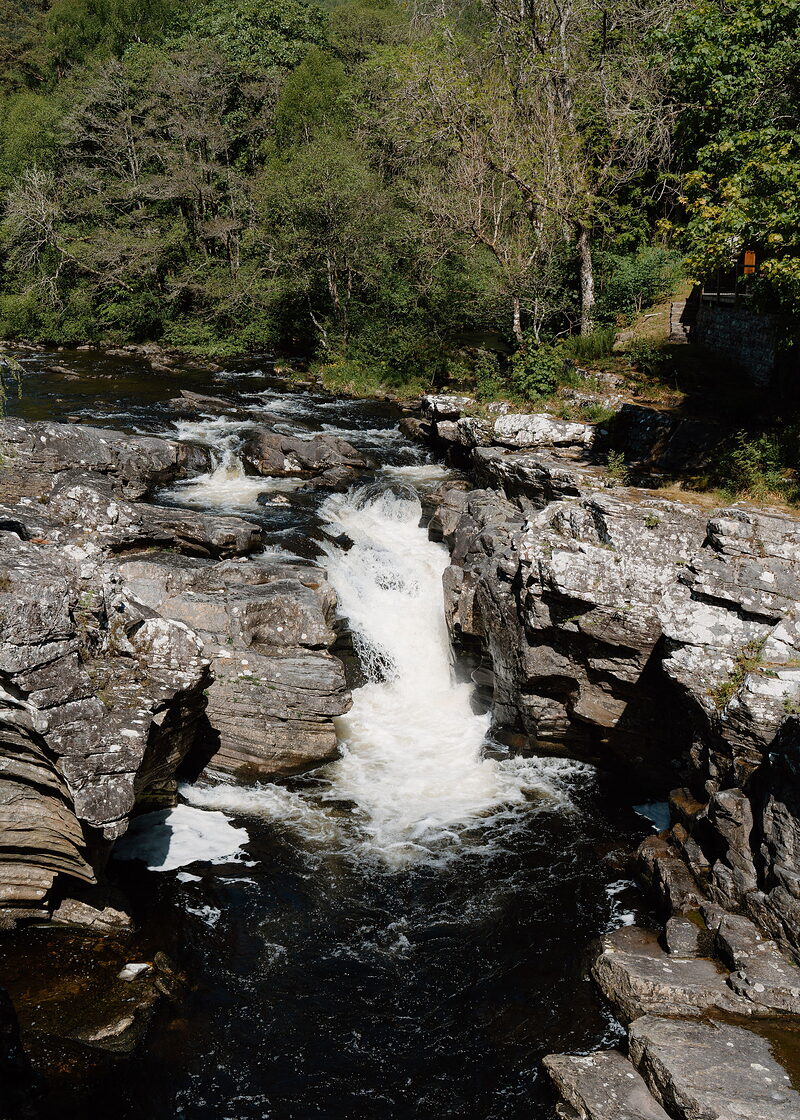
Invermoriston Falls
An attraction
Invermoriston Falls are the end of the day: the River Moriston pouring over rock under an old stone bridge. Invermoriston has a shop, a café and a few guest houses and B&Bs: book well ahead. Its one hotel, the Glenmoriston Arms, has been closed for refurbishment, and the café keeps daytime hours, so no dinner is sure in the village. Ask your B&B about an evening meal when you book, and if it serves none, carry one in from Drumnadrochit.
If it rains
Take the low route, which keeps to forest tracks and paths and is sheltered nearly all the way. The high route is open hillside with no shelter and is not a place for low cloud or a gale. Alltsigh, on the low route beside the A82, has a Citylink coach stop at the hostel door if you want to finish the day by road: check the times.
Day three
Fort Augustus
The shortest day of the six. The Way leaves Invermoriston through tall forest above the loch and comes down, 7.5 miles on, to Fort Augustus, where the Caledonian Canal climbs away from Loch Ness through a flight of locks. That leaves a slow afternoon by the water.
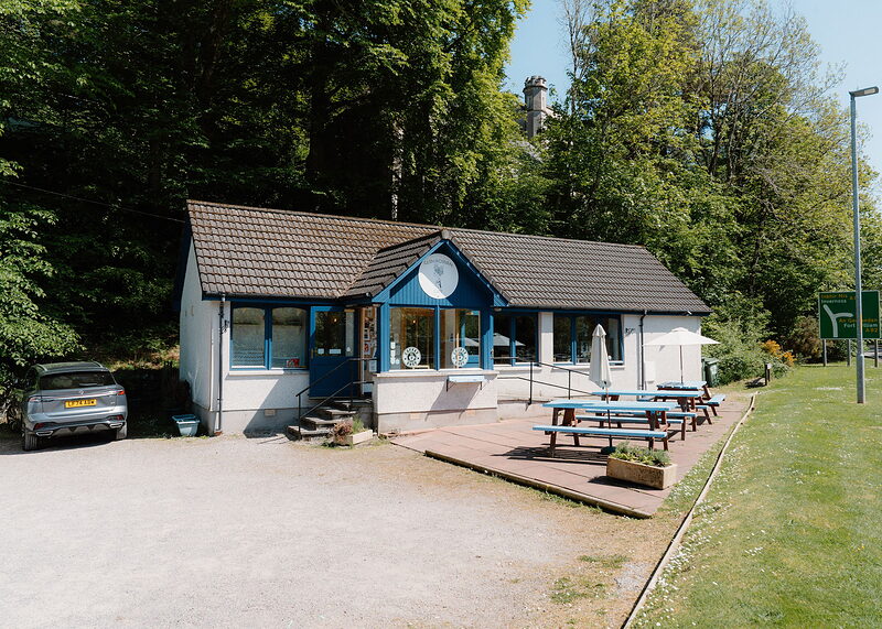
Glen Rowan Cafe
A café
The Glen Rowan Cafe, in Invermoriston, is the place for breakfast and for something to carry, because there is nothing to eat or drink between here and Fort Augustus. It's closed on Mondays. Fill your bottle at the tap on the outside of the village hall. From the village the Way crosses the river and climbs into the forest.
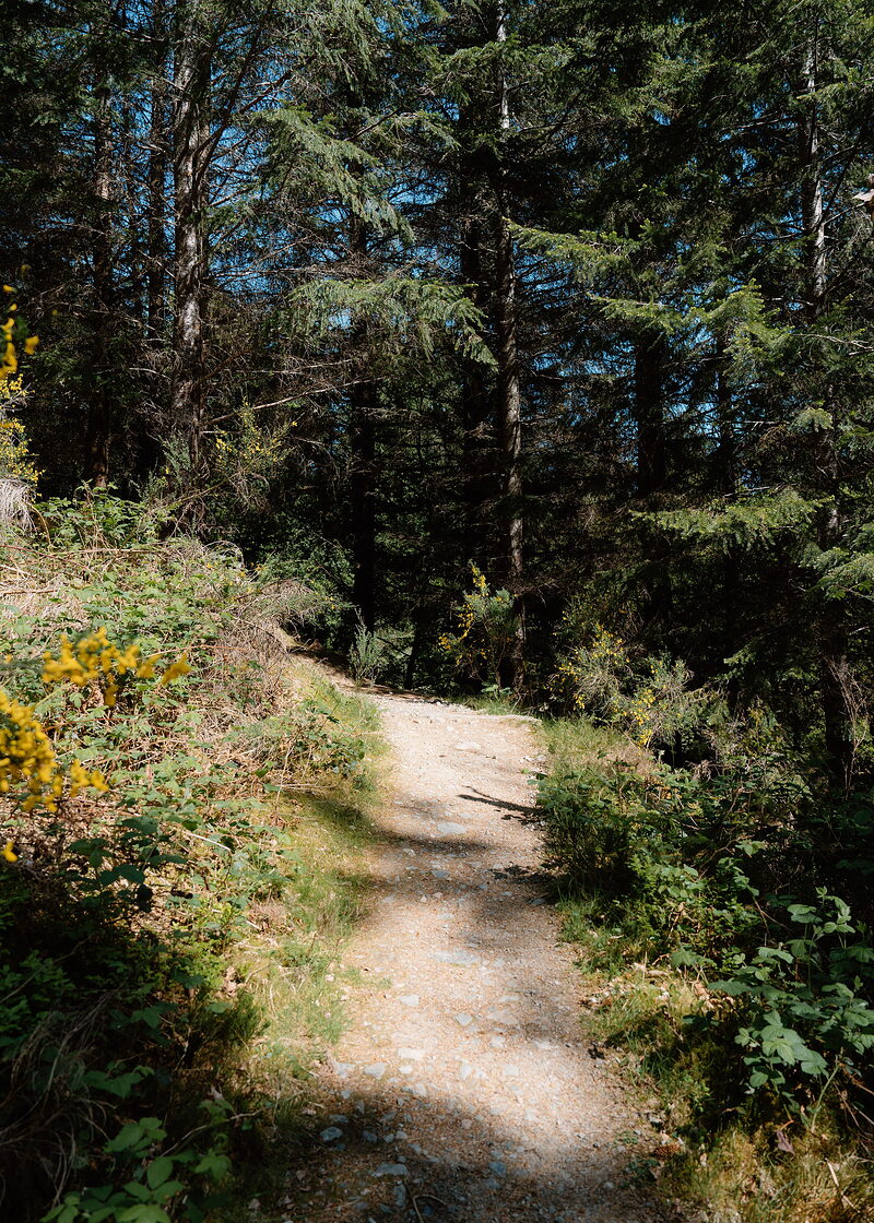
Allt na Criche
The day's two routes part soon after Invermoriston and meet again at Allt na Criche, the forest above Fort Augustus. The low route is the level one and the one to plan on, through the first ground the Forestry Commission planted in Scotland, among huge Douglas firs and Sitka spruce. The high route is longer, with a steep climb above the trees for views down the Great Glen, and can be shut for tree felling: read the notices at the fork. From here the village is close.
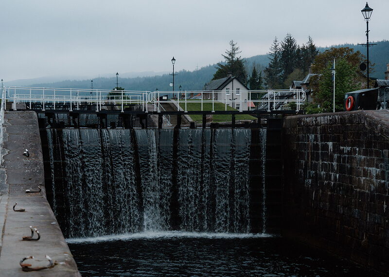
Caledonian Canal
An attraction
The Caledonian Canal comes down to Loch Ness at Fort Augustus through five locks, one above the other in the middle of the village, with a swing bridge at the foot. Thomas Telford was its engineer and it was finished in 1822. From spring to autumn you can watch boats work down the flight. Fort Augustus is tonight's stop, with hotels, guest houses, a hostel, cafés, pubs and a shop. Book your bed ahead, and buy tomorrow's food before the shop shuts.
If it rains
A short day that goes in any weather by the low route, under tall trees almost all the way. Leave the high route for a clear day. If you would rather not walk at all, the Citylink coach runs from Invermoriston to Fort Augustus along the lochside road: check the times.
Where to eat
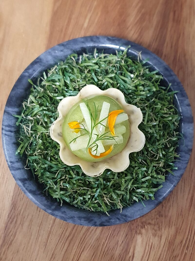
Station Road at The Lovat, brasserie at The Lovat.
Day four
Foyers
Today the walk turns for home down the quiet side of the loch. The South Loch Ness Trail climbs out of Fort Augustus with Loch Ness behind it, passes Loch Tarff and goes over the hill at Suidhe, then drops to Whitebridge and the woods above Foyers. It's 15 miles, much of it empty country.
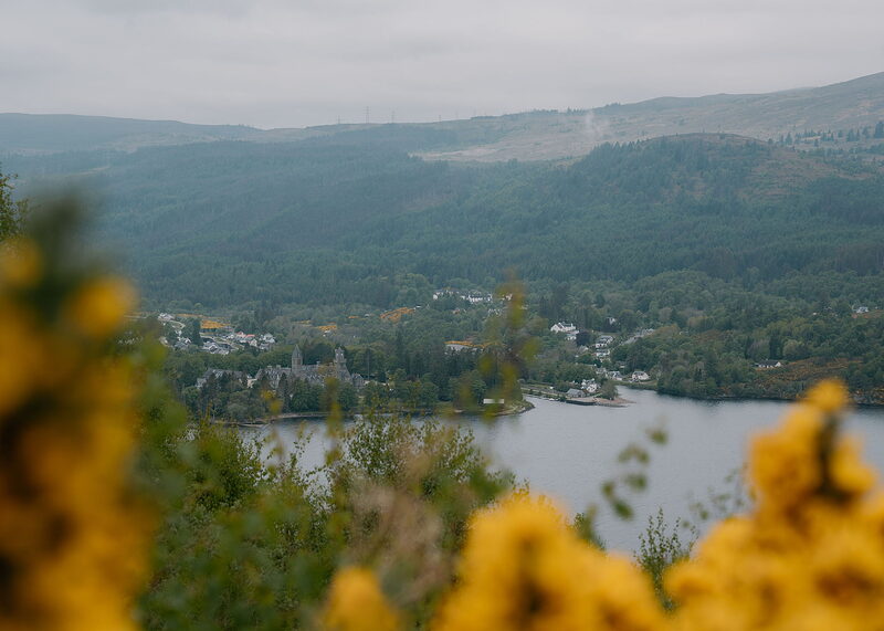
Fort Augustus
An attraction
Fort Augustus is the last place to buy anything for nearly 12 miles, so leave early with the day's food and water: lunch at Whitebridge, best booked, ends at 2.30pm, with none on Mondays. The trail crosses the canal and soon leaves the road for the hill, where squirrel markers take over from the thistles. No bus links Fort Augustus with Whitebridge or Foyers. Until Whitebridge the only ways out are turning back or a taxi.
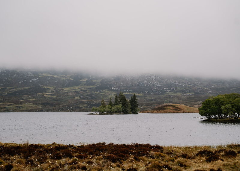
Loch Tarff
After a long, steady climb with Loch Ness spread out behind, the trail reaches Loch Tarff, a small hill loch 292 metres up. The way up crosses the Glendoe estate, where lorries and machinery use the track, and the trail asks that dogs stay on a lead all the way from Fort Augustus to Suidhe. There is no shelter up here. Beyond the loch the path crosses the road and turns rougher for the climb ahead.
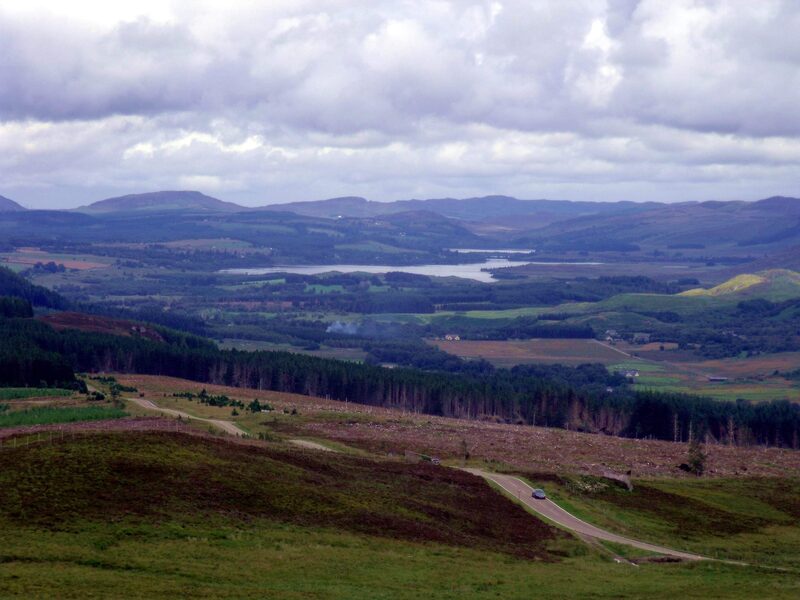
Suidhe Viewpoint
An attraction
Suidhe Viewpoint is the top of the day, with Stratherrick and its lochs laid out ahead and the hills of the Great Glen behind. The road comes close by, so you may not have it to yourself. From the top the trail crosses open moor towards Loch Knockie and joins a wide forest track.
Whitebridge
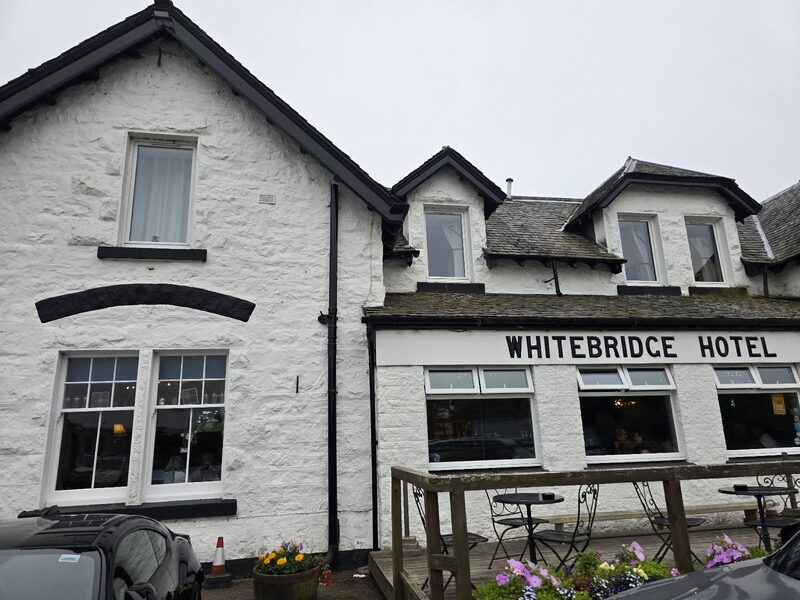
Whitebridge has the old military bridge built under General Wade in 1732, a few houses and the Whitebridge Hotel, the only place to eat on the way: lunch from noon to 2.30pm, Tuesday to Saturday, and a roast on Sundays. Book a table. At the time of writing the Ardochy footbridge was out and the trail came in by road: check its notices, and mind the traffic. A bus runs to Inverness, Monday to Saturday: check the times. Beyond the hotel a farm track leads on by Dell Farm.
Foyers
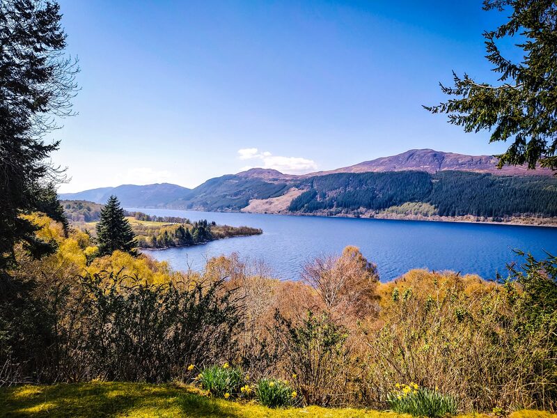
Foyers is tonight's stop. The way in crosses two streams, the second easy in boots but wet after heavy rain, then a bridge over the river above the falls. The village is strung out above Loch Ness, with a shop, two cafés and only a few places to stay, among them Foyers Lodge and the Craigdarroch Hotel, so book ahead. The Craigdarroch serves dinner by reservation only, and not every night: book a table when you book the bed.
If it rains
This is the most exposed day of the six and the hardest to leave. From Fort Augustus to Whitebridge there is no shelter, no shop and no bus, and the hill at Suidhe is open to everything. After heavy rain the second stream beyond Whitebridge can be awkward to cross: wait for the water to drop, or keep to the road into Foyers. On a bad forecast, sit the day out in Fort Augustus, or book a taxi round to Foyers. The B862 is never far from the trail if you need to come off the hill.
Day five
Dores
A day of big views. From the Falls of Foyers the trail takes a rough woodland path to Inverfarigaig, winds up a road of hairpin bends and climbs to the Fair Haired Lad's Pass, where Urquhart Castle shows across the water. Then it's down through the forest and along the shore to the beach at Dores, 13.5 miles in all.
Falls of Foyers
An attraction
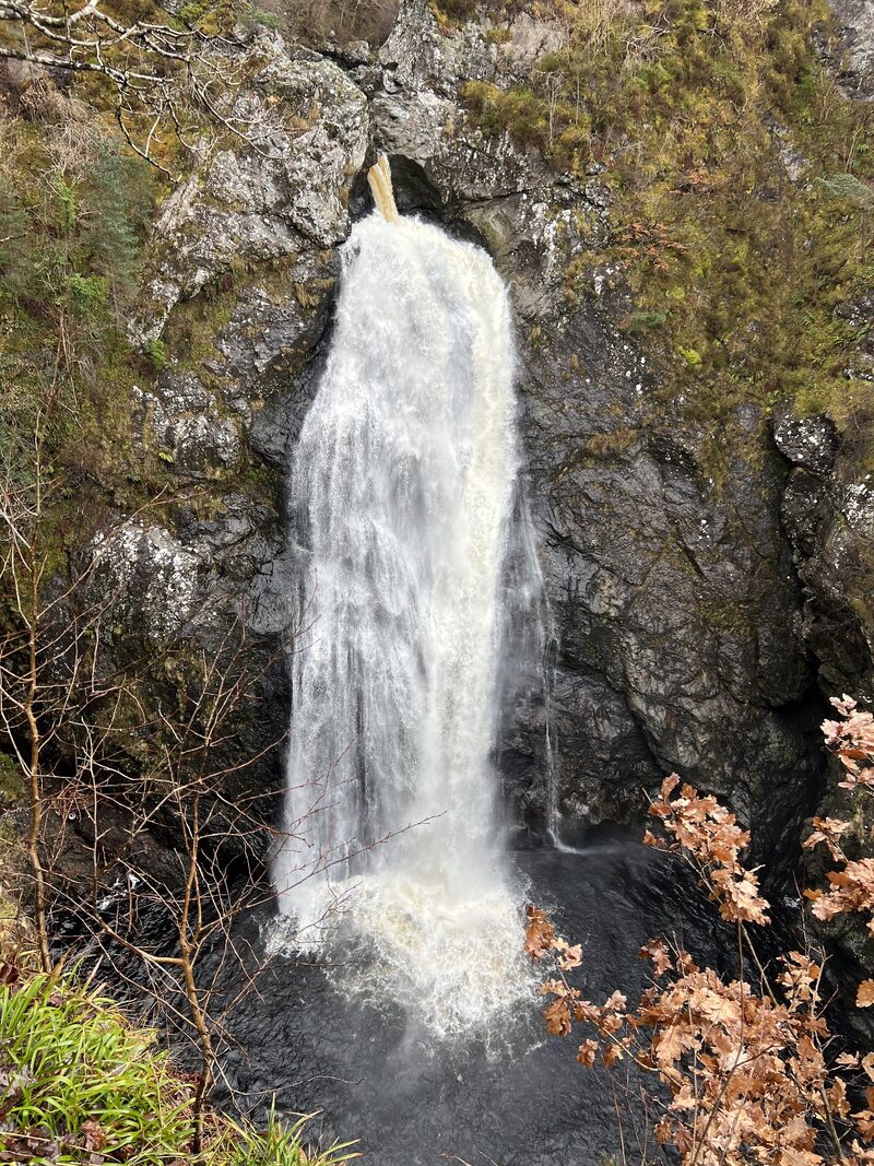
The Falls of Foyers are a short, steep walk down steps from the shop: the main fall drops about 30 metres, and Robert Burns put it into a poem in 1787. See them before you set off. Buy the day's food at the shop the evening before, or ask where you're staying for a packed lunch, as nothing is sure before Inverness. Camerons Tea Room, nearly half a mile along the road towards Fort Augustus, opens from 10am to 3pm, Wednesday to Sunday, and every day from July to September.
Inverfarigaig
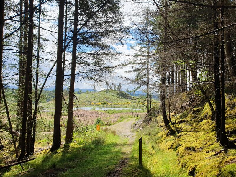
Three and a half miles from Foyers by a rough path, Inverfarigaig is a forest car park with toilets; the 302 bus stops on the shore road below. The trail climbs the Corkscrew, a road of tight bends under the fort of Dun Dearduil, and farm and forest tracks past the cattle at Balchraggan to the Fair Haired Lad's Pass. There Loch Ness lies below, with Urquhart Castle far across the water. The way down is narrow, very steep for half a mile and slippery when wet: take it slowly.
Dores Beach
An attraction
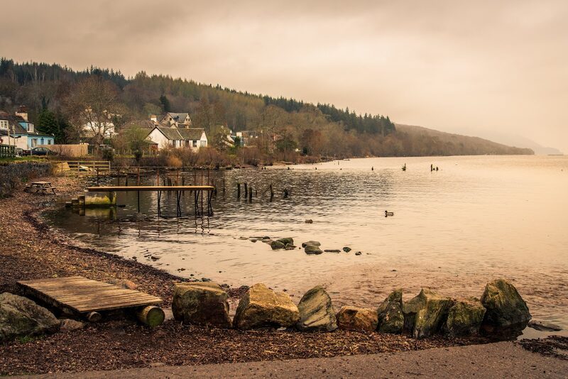
Dores Beach, a long curve of shingle at the north end of the loch, ends the day. The last mile in runs beside the B852 and partly on it, so walk facing the traffic. Dores has toilets. The inn was shut for redevelopment at the time of writing; the trail's page lists a restaurant: check first. Tonight's bed is in Inverness, by the 302 bus, which runs Monday to Saturday only: check the times before you leave Foyers. If you miss the last one, book a taxi from Inverness.
If it rains
The path from Foyers to Inverfarigaig is rough and wet underfoot, and the drop from the Fair Haired Lad's Pass is very steep and slippery in rain: allow extra time and go down slowly. In low cloud the view from the pass is lost. The 302 bus runs along the shore road and stops at Foyers, Inverfarigaig and Dores, a few times a day from Monday to Saturday, so in really foul weather ride it for part of the day: check the times.
Day six
Inverness
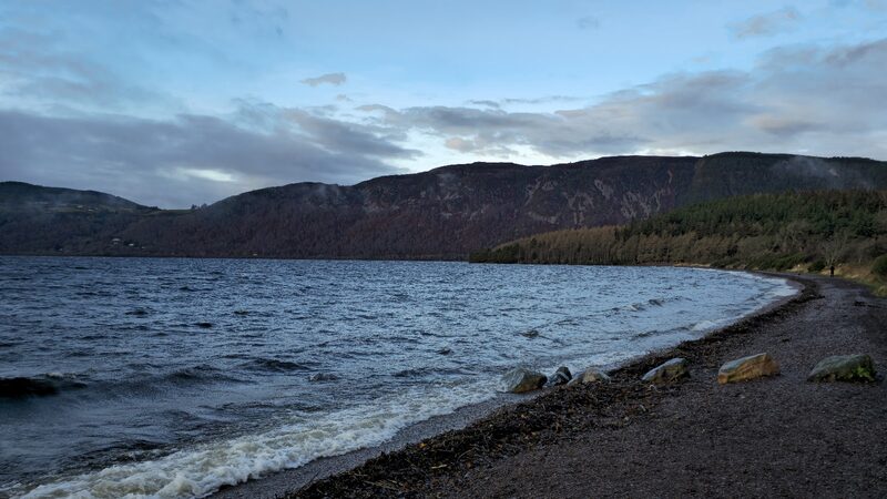
The last day leaves Loch Ness behind. From Dores the trail climbs to Drumashie Moor, crosses it on rough, wet ground and old forest tracks, and comes down through Torbreck Woods to the edge of Inverness, with the Moray Firth ahead. Quiet streets and the River Ness lead back to the castle where the walk began, 10 miles from Dores.
Dores
Dores is where the last day starts, so take the morning 302 bus out from Inverness: it runs Monday to Saturday only, so check the times, and if you miss it, book a taxi. Bring lunch: nothing is sold on the way. The trail follows the pavement to Aldourie school, then a small road that climbs for a last look at Loch Ness, and crosses Drumashie Moor, rough and boggy, to a forest track. The low way round is Cycle Route 78, signed at a fork soon after the school.
Inverness Castle
An attraction
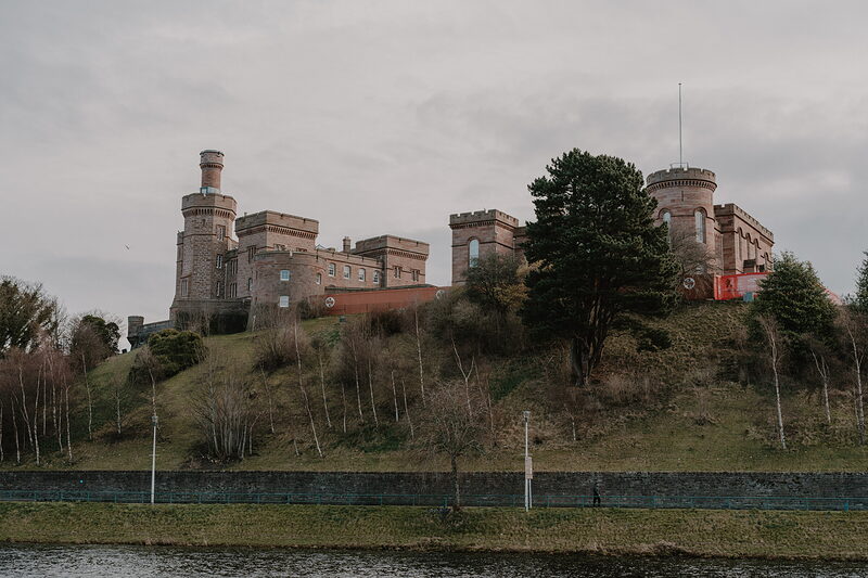
Inverness Castle is the finish. The squirrel markers end on the far side of Torbreck Woods, where the path meets a single-track road. The last stretch is a mile on that road, then streets down through Lochardil to the river at the Ness Islands and along it to the foot of the castle: that's the whole loch walked, about 80 miles. The stations are a few minutes away; book a last night only if you're staying on.
If it rains
Drumashie Moor is boggy and open. In heavy rain or low cloud take the trail's own low way round. It is Cycle Route 78, from a fork soon after Aldourie school to Scaniport by a minor road and the cycle path beside the B862, then a minor road back to the trail at Darris. The 302 bus passes Scaniport from Monday to Saturday: check the times. From Torbreck Woods on, the high way is on roads and pavements too.
Where to eat
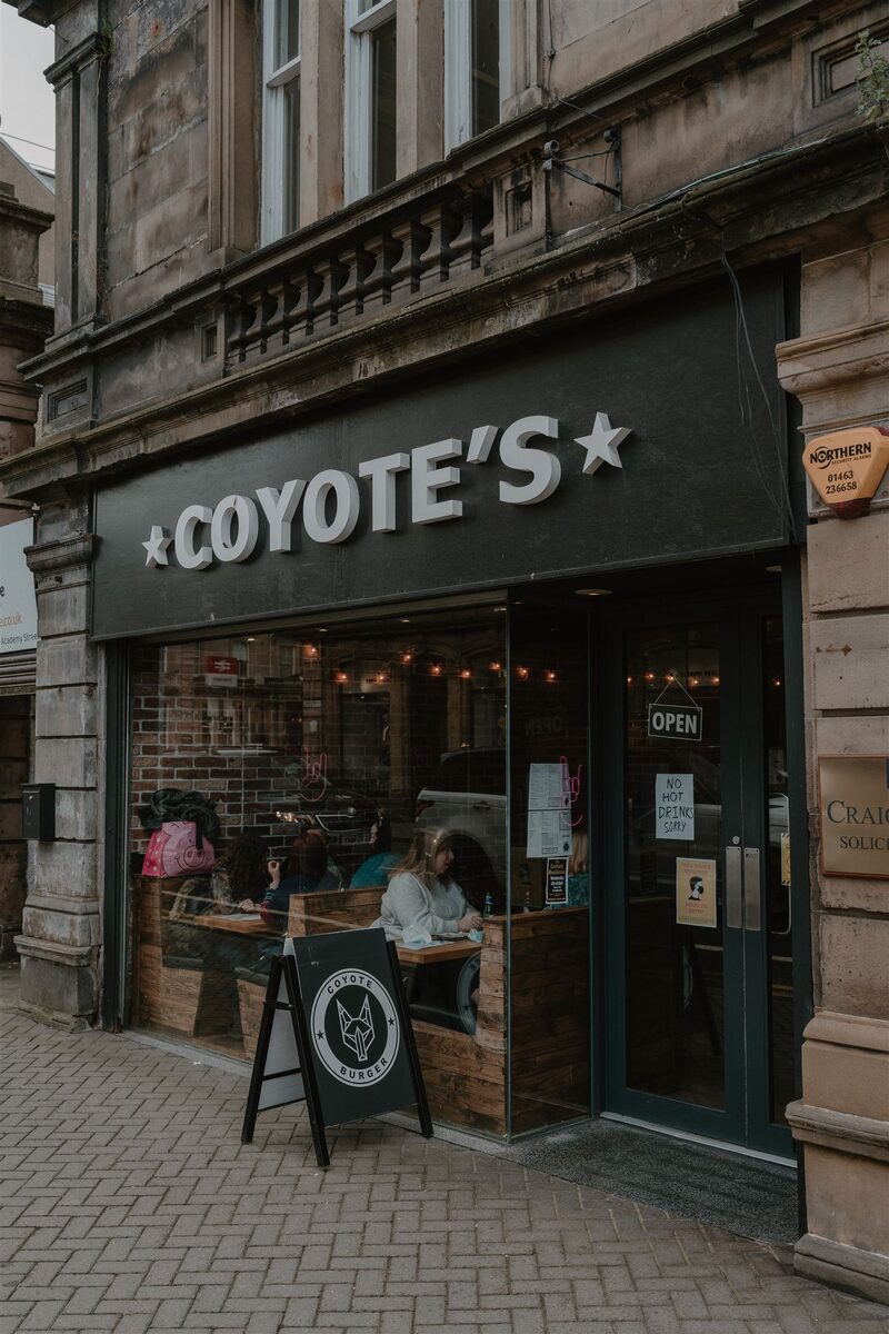 InvernessCoyote BurgerAmerican-style burgers
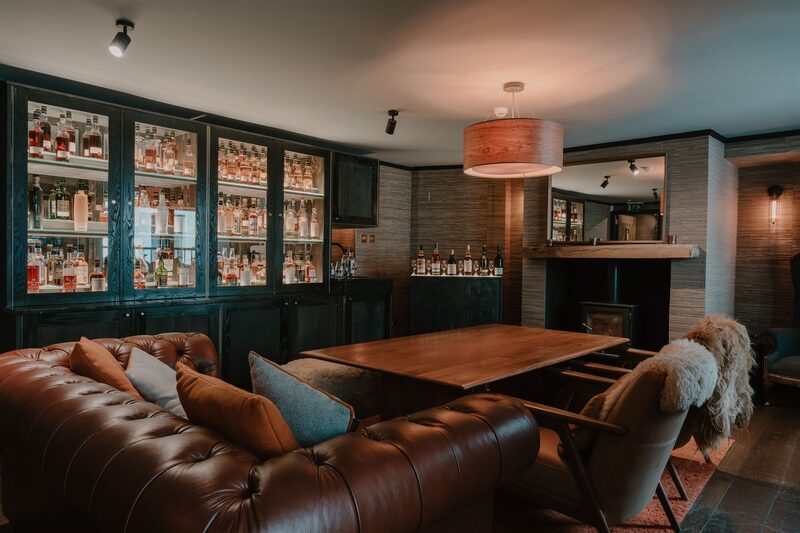 InvernessThe Malt RoomInverness's first whisky bar
 InvernessXOKO BakehouseA café
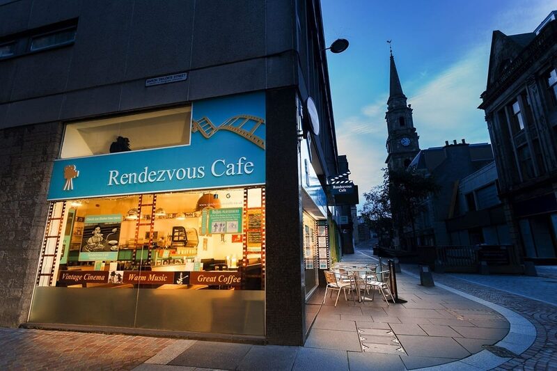 InvernessThe Rendezvous CaféA café
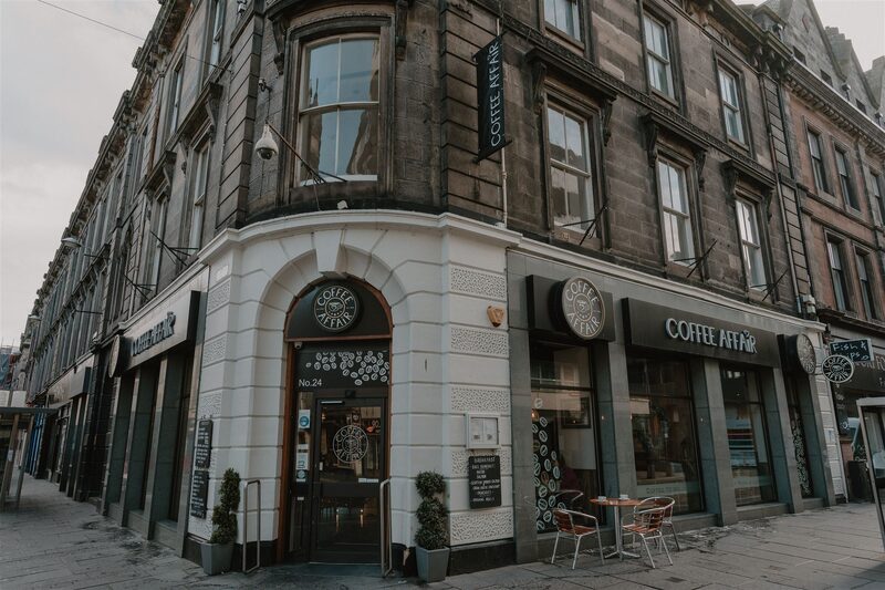 InvernessCoffee AffairA café
 InvernessPERK Coffee & DoughnutsA café
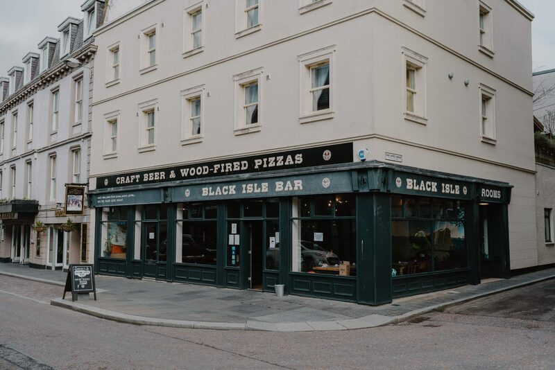 InvernessBlack Isle BarA restaurant
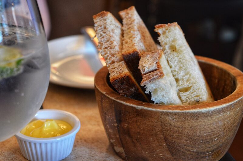 InvernessMcBain's by the RiverA restaurant
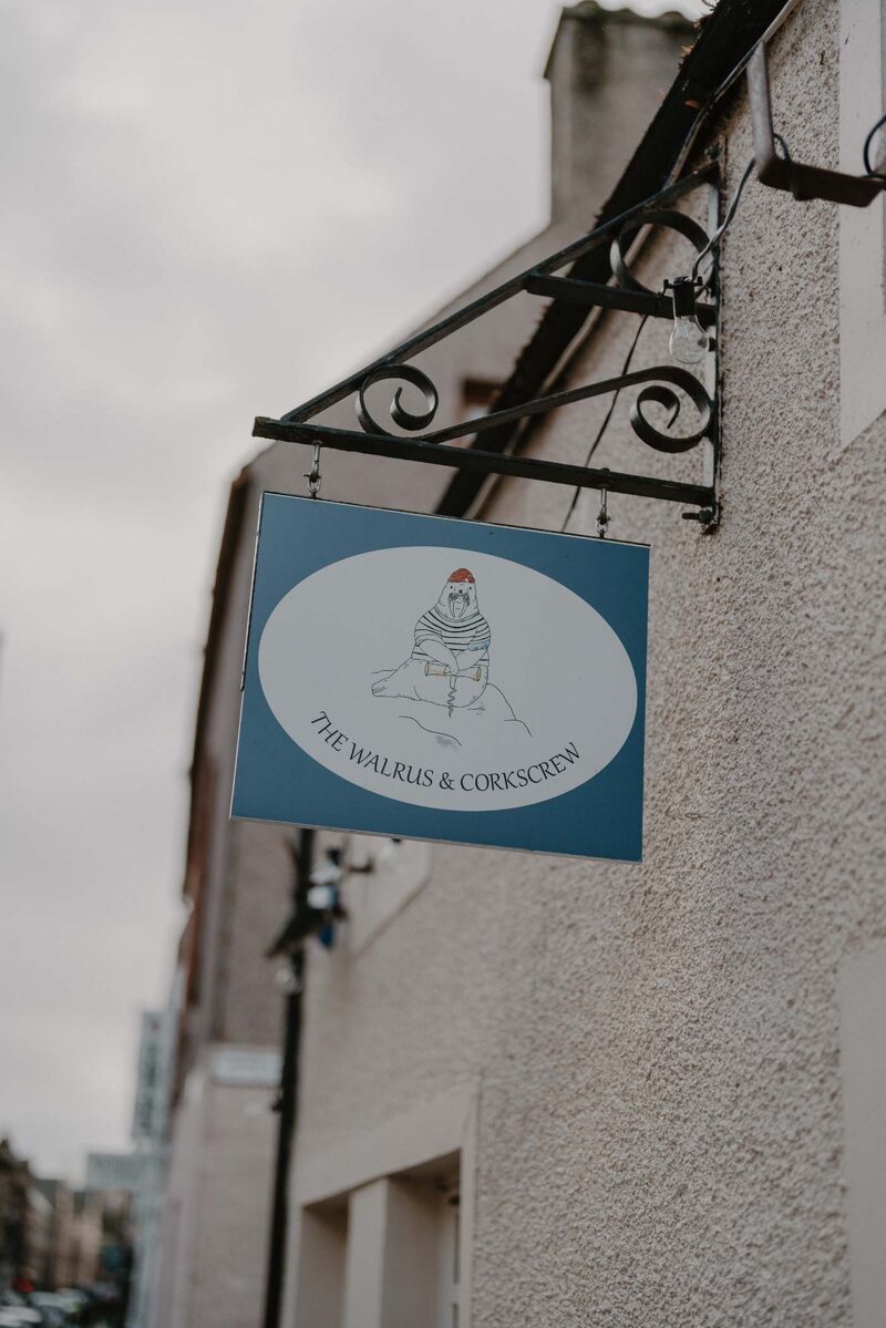 InvernessThe Walrus & CorkscrewA restaurant
 InvernessCafe ArtysansScottish food, local producers
 InvernessInverness Coffee Roasting CoA café
Photographs by W M, Alasdair Sangster, Chris Kelly, Elaine Willmore, Loch Ness, Teslatank 00, David Mcdonald, reece cockram, Christine Gaia, Tomasz Francuz and Methven Forbes via Google; Dave Conner