
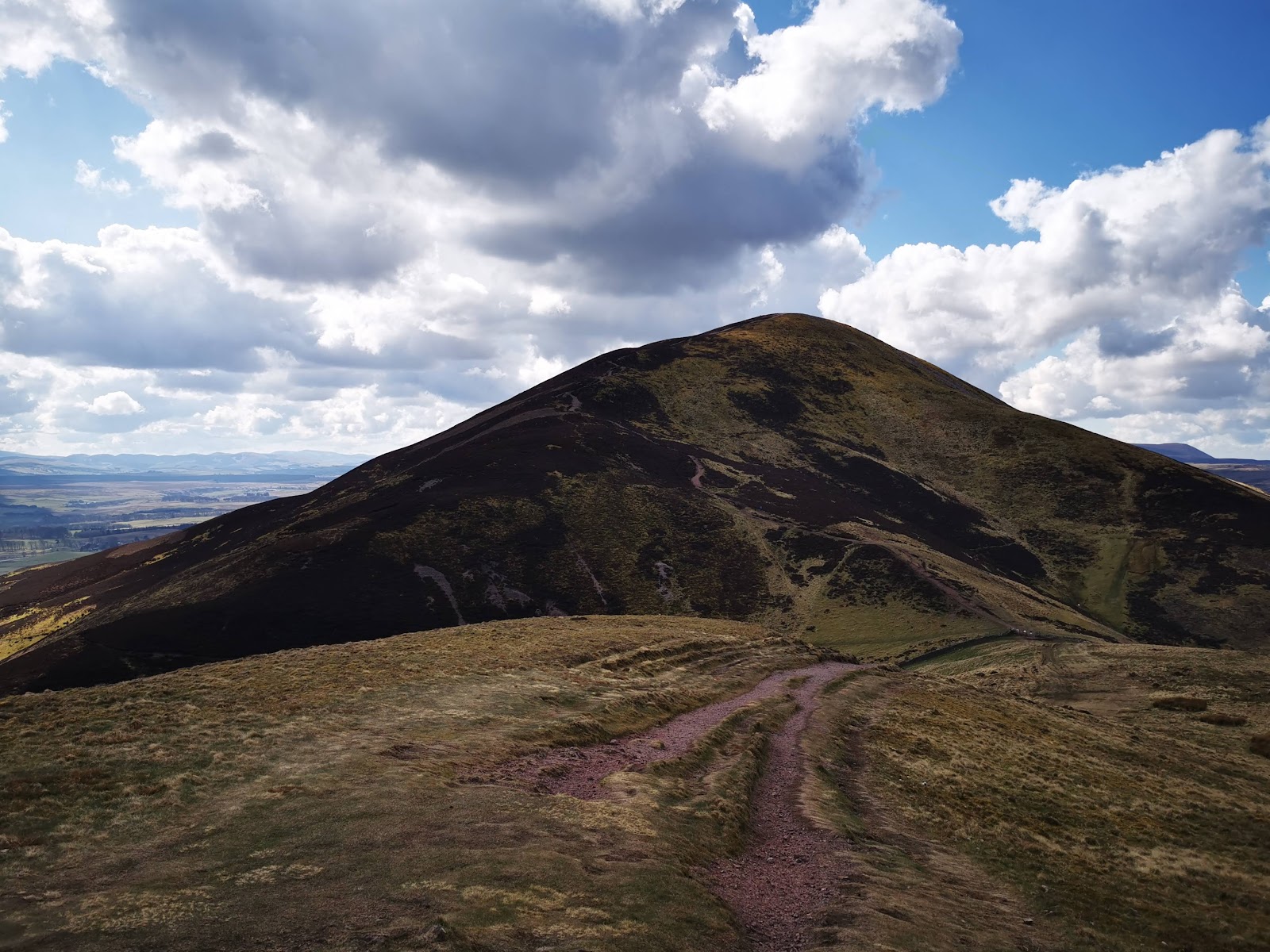
The Kirk Road – An Old Church Path over the Pentlands
2 miles · dogs on a lead · café 5 miles away
A short climb into the Pentland Hills on an old right of way, to a pass under Scald Law, the highest of the range.
Is it for me?
Tap who is coming, or the day you have, for the answer on this walk.
Before you go
On the path
A hill path. For children, a climb to a hill pass.
Good to know
Dogs close and on a lead, with sheep on the hill.
The walk
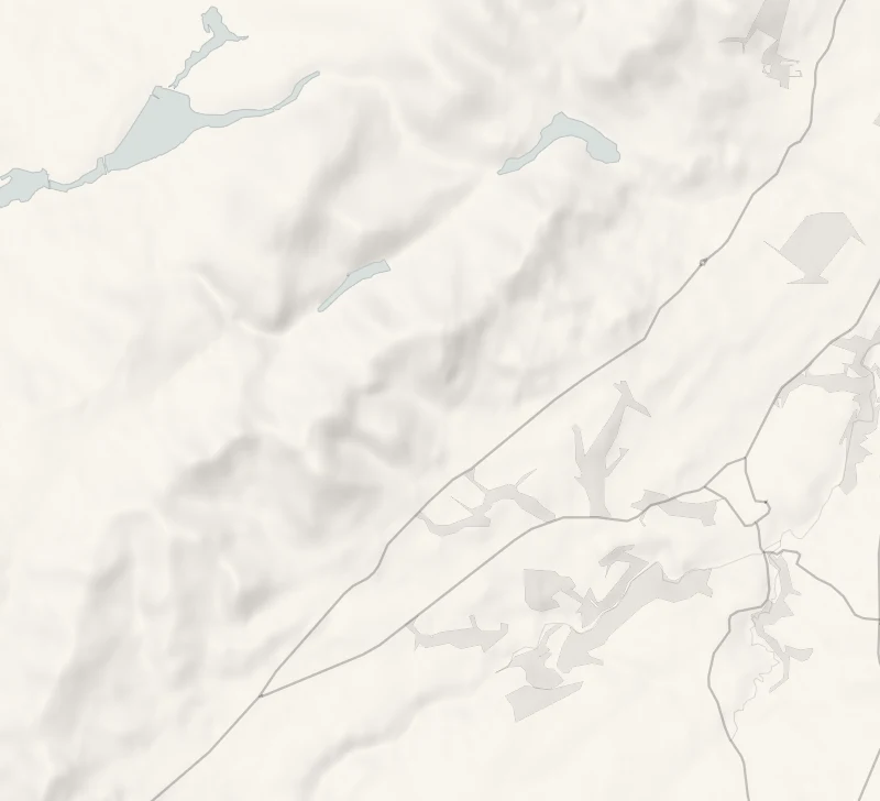
The Kirk Road climbs from Kirk Road End on the A702 to the pass between Carnethy Hill and Scald Law, about 1.7 km, and the walk comes back the same way: about two miles in all. Allow about an hour, longer with stops. The path rises about 170 metres on grass and bare ground, rough in places and boggy when wet. The path's own page, ScotWays', has its story and a map.
At the start, a green fingerpost points over the hill to Balerno, 6 miles by its count. It is one of ScotWays' signs: the society approved its first, in Roslin Glen, in 1885, the Pentlands had theirs soon after, and ScotWays thinks they may have been the first in the UK. A Heritage Path panel beside it tells the road's story.
Bavelaw and Loganlea, over the hills, belonged to Penicuik's parish, and their people walked this road to its church. The parish's entry in the New Statistical Account, written in the 1830s and 1840s, recalls more than twenty households making the crossing regularly; by then two or three families were left on that side.
The path climbs beside the Grain Burn. At the pass, Carnethy Hill rises to the north-east and Scald Law to the south-west, and the glen of the Logan Burn opens on the far side, with Loganlea Reservoir in it. The old road drops steeply from here towards The Howe, a cottage in the glen, so this is the place to turn.
Take warm waterproofs, a torch and a map, and read the forecast first: the Regional Park's own advice is that weather on the hills can change quickly.
For lunch, the Flotterstone Inn is along the A702 to the north-east. It opens every day from noon, serves food until 7.45pm and asks you to book for a meal. The Regional Park's information point at Flotterstone has toilets and a café; check the hours of both before going.
If it rains
On a wet day, the Flotterstone Inn is under cover.
After the walk
Coffee and cake, something to do with the rest of the day, and dinner, nearest the end of the walk first.
Straight after
 15 min by roadA caféAngelina Coffee SnugA small cafe in the golf clubhouse on the Whitehill House estate near Rosewell, baking its cakes and scones fresh every day.
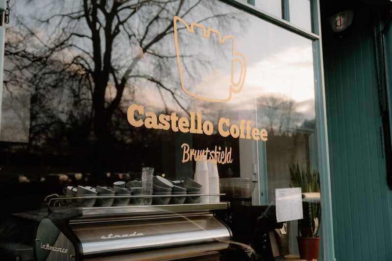 18 min by roadA caféCastello CoffeeA speciality coffee house on Barclay Terrace in Bruntsfield, looking out over the Links, with Allpress espresso and a mezzanine.
With the rest of the day
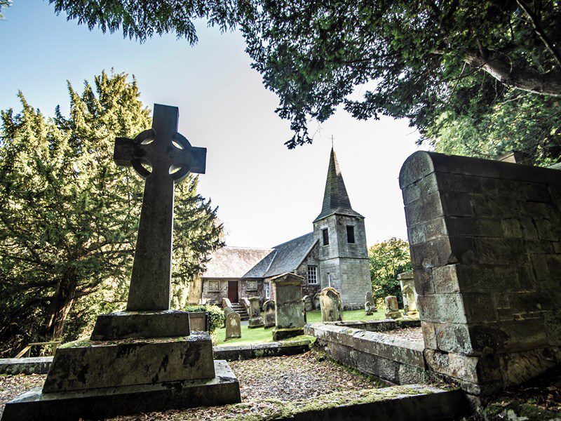 4 min by roadThings to doGlencorse Old KirkA 17th-century kirk in the woods of the Glencorse estate below the Pentlands, which Stevenson wrote about and where Jamie and Claire married in Outlander.
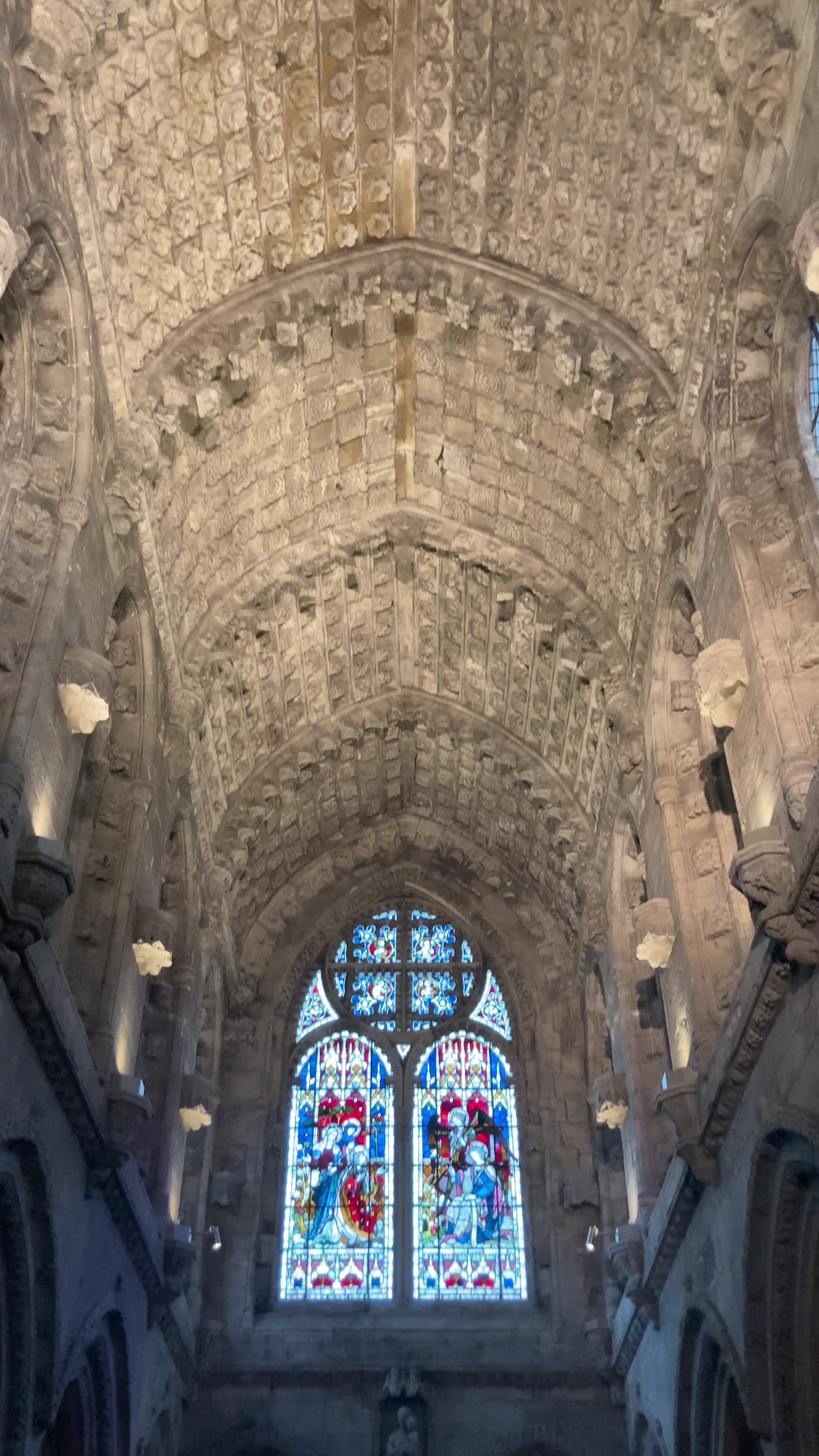 9 min by roadThings to doRosslyn ChapelA 15th-century chapel at Roslin, founded by Sir William St Clair and richly carved inside, famous from The Da Vinci Code.
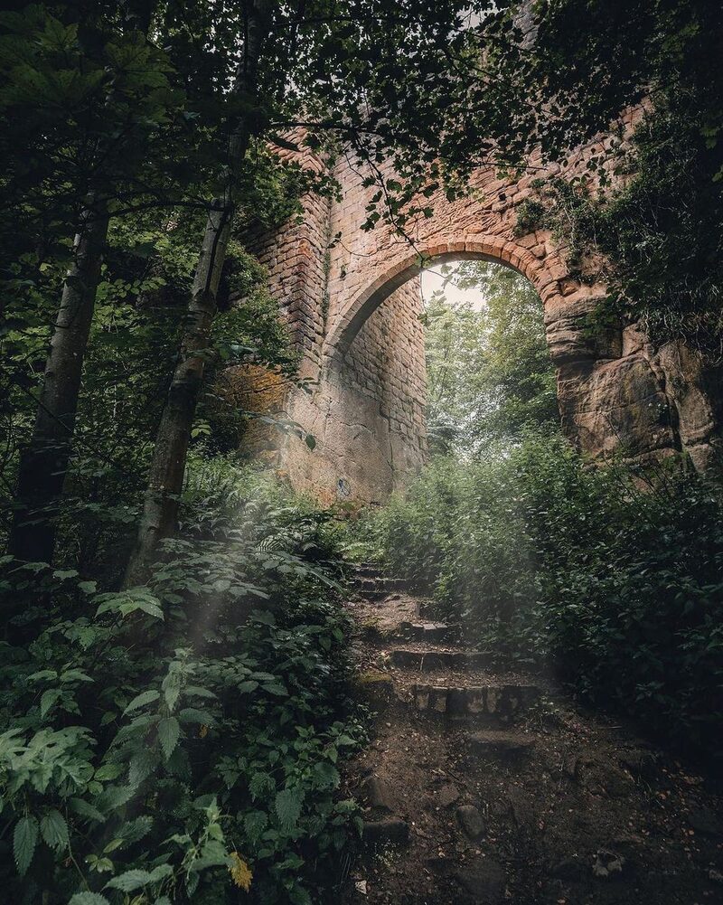 9 min by roadThings to doRosslyn CastleA castle of the Sinclairs on a rock above the River North Esk in Roslin Glen, reached by a high bridge, a short walk from Rosslyn Chapel.
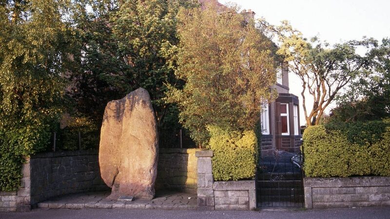 9 min by roadThings to doThe Caiy StaneA standing stone over nine feet tall among the houses of Fairmilehead in south Edinburgh, raised perhaps before 3000 BC.
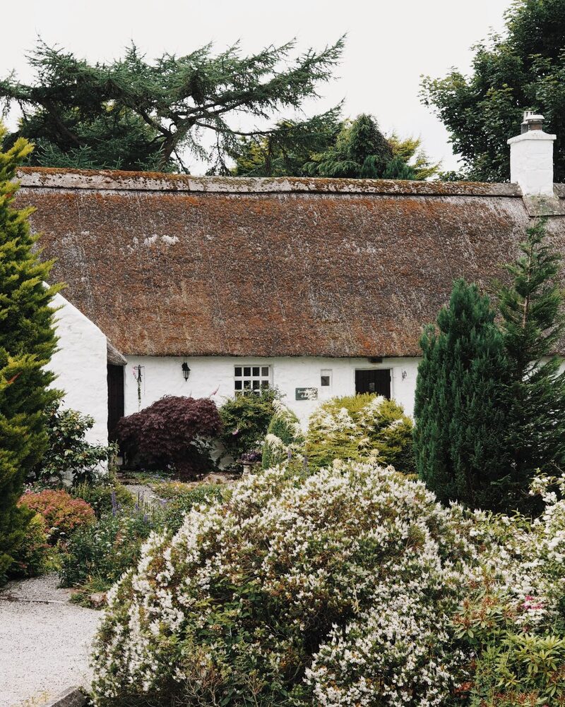 10 min by roadThings to doSwanstonA cluster of whitewashed, thatched cottages under the Pentland Hills on the edge of Edinburgh, where Robert Louis Stevenson spent his summers.
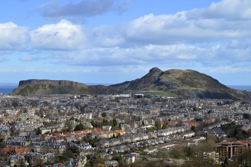 13 min by roadThings to doBlackford Hill and the Braid HillsOne of Edinburgh's seven hills, rising above the wooded glen of the Hermitage of Braid, with the Royal Observatory's domes by its summit.
For dinner
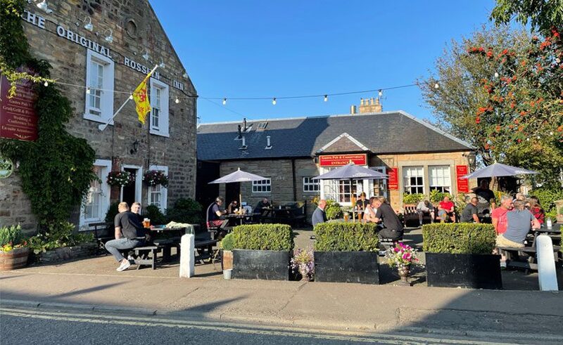
Original Rosslyn Inn in Roslin, 8 minutes by road. A family-run inn in Roslin since 1837, a three-minute walk from Rosslyn Chapel, where Burns, Wordsworth and Scott all stopped.
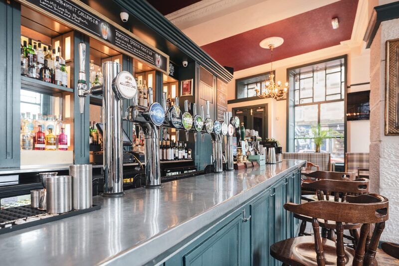
The Hermitage Bar in Edinburgh, 14 minutes by road. A pub in a curving corner building at the heart of Morningside, by the clock, with locally sourced food, live music and a quiz.
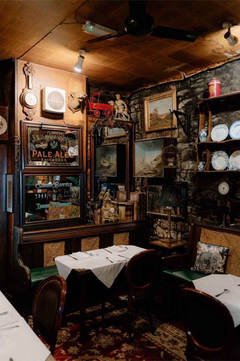
The Canny Man’s in Edinburgh, 16 minutes by road. A Morningside pub founded in 1871 and kept by the same family ever since, its rooms crowded with curios, with a long list of whiskies.
Places to stay near the walk
Our places to stay nearest the start, by road.
An advert · Edinburgh
Moment George IV Bridge
Seven apartments, six studios and a two-bedroom, in a restored building on George IV Bridge in Edinburgh's Old Town, some with the castle in the window.
Sleeps 2 · 21 minutes by road
See Moment George IV Bridge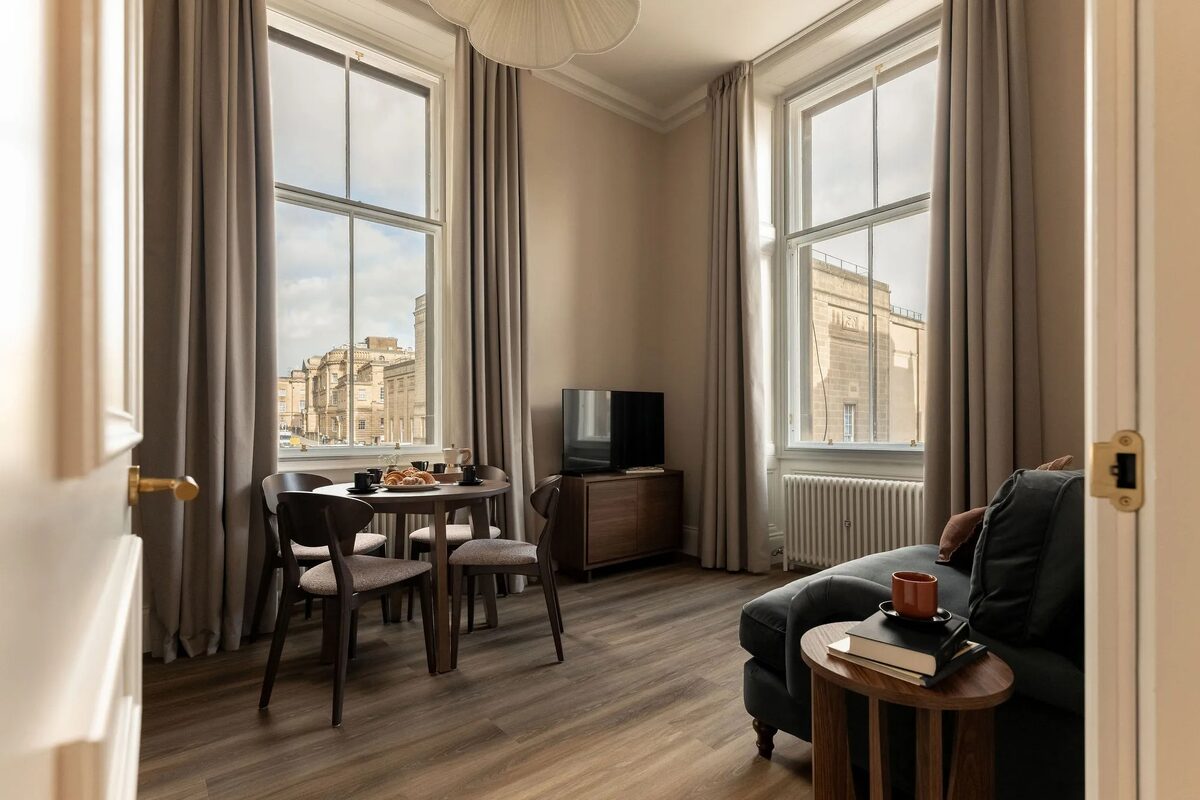
More places to stay near the walk
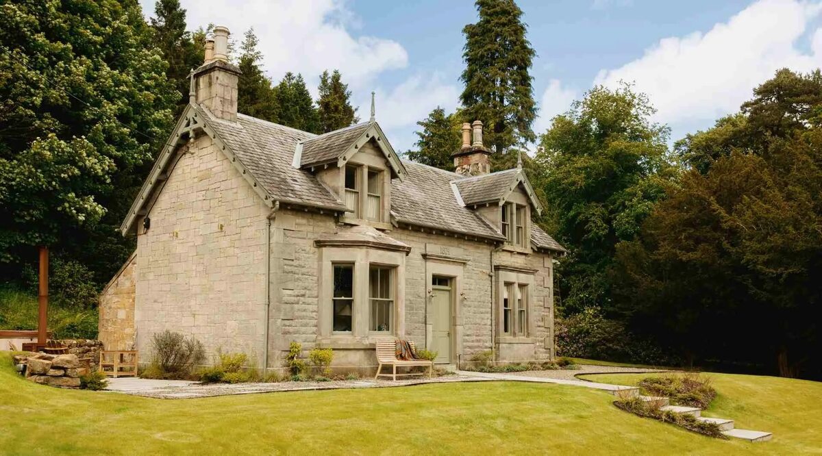 An advert · PenicuikClermount CottageSleeps 2 · 2 minutes by road
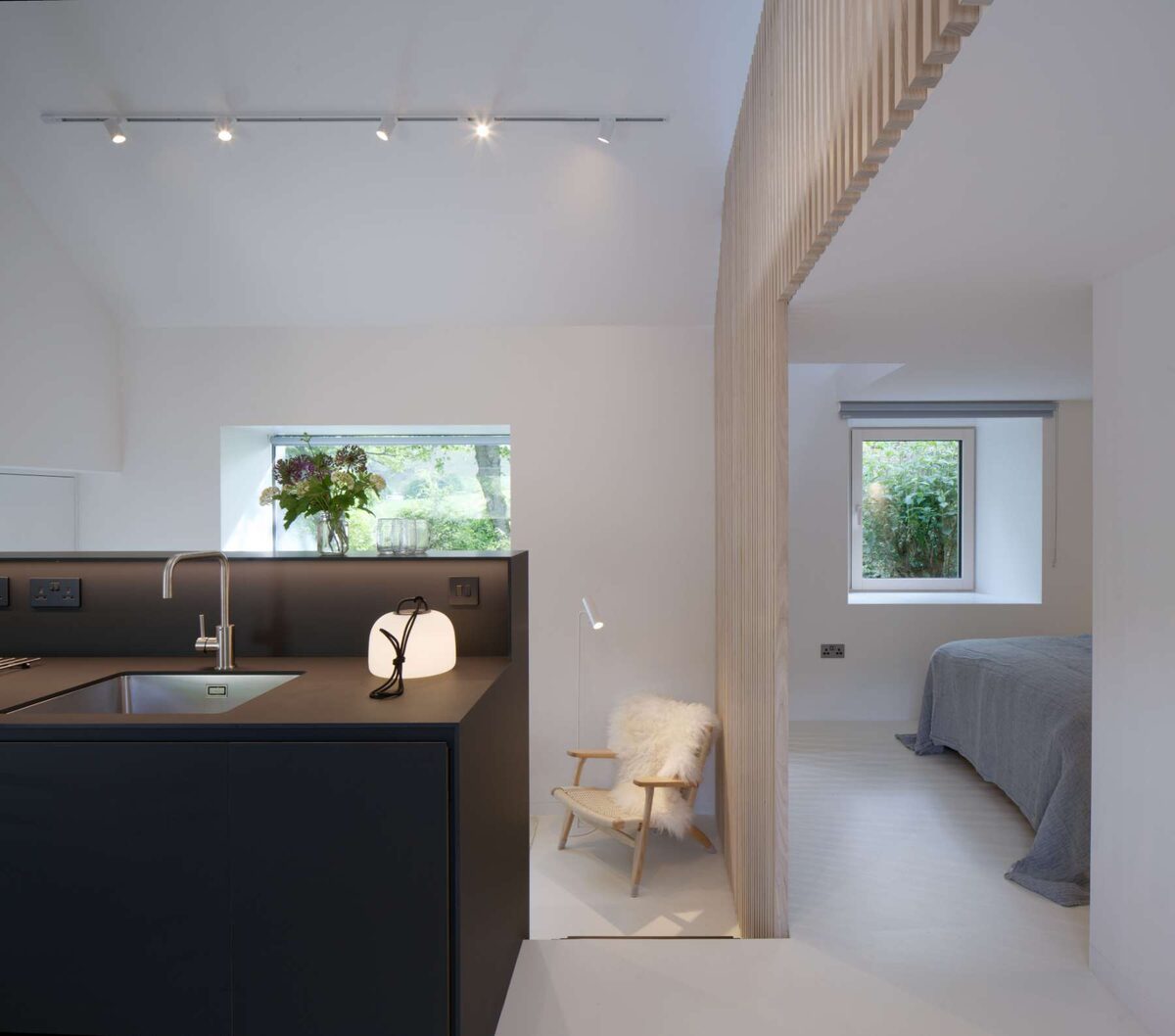 An advert · PenicuikCartshedSleeps 2 · 10 minutes by road
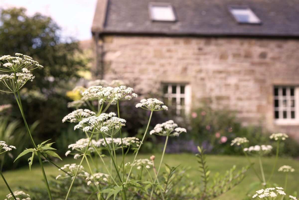 An advert · PenicuikSteadingSleeps 4 · 10 minutes by road
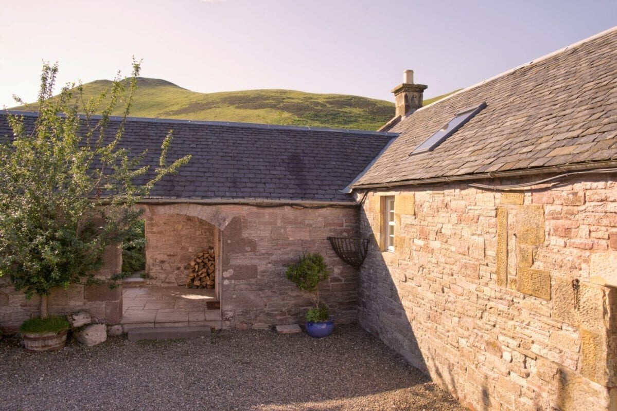 An advert · PenicuikThe ByreSleeps 4 · 10 minutes by road
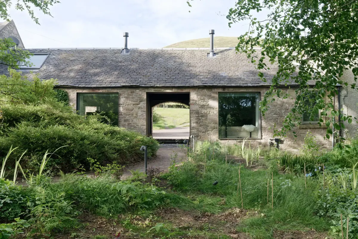 An advert · PenicuikWash HouseSleeps 2 · 10 minutes by road
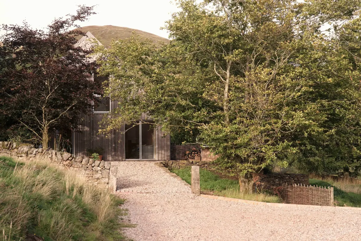 An advert · PenicuikWoodshedSleeps 2 · 10 minutes by road
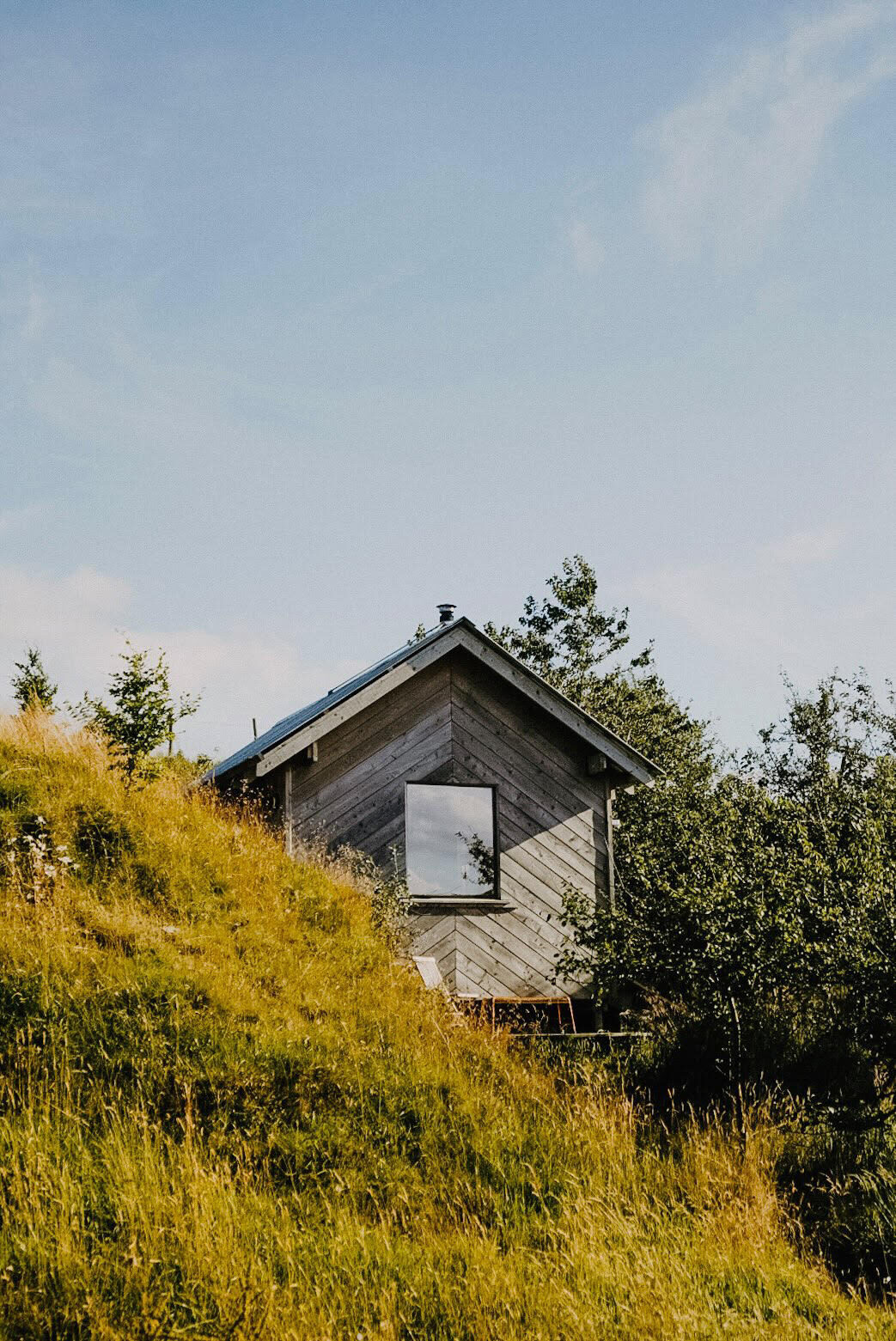 An advert · CarlopsWilderkin CabinSleeps 2 · 11 minutes by road
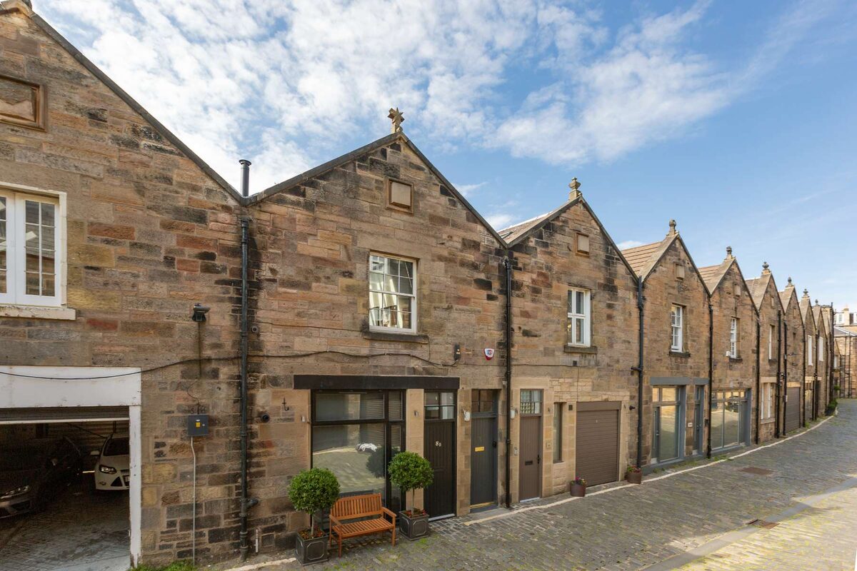 An advertWest End MuseSleeps 4 · 21 minutes by road
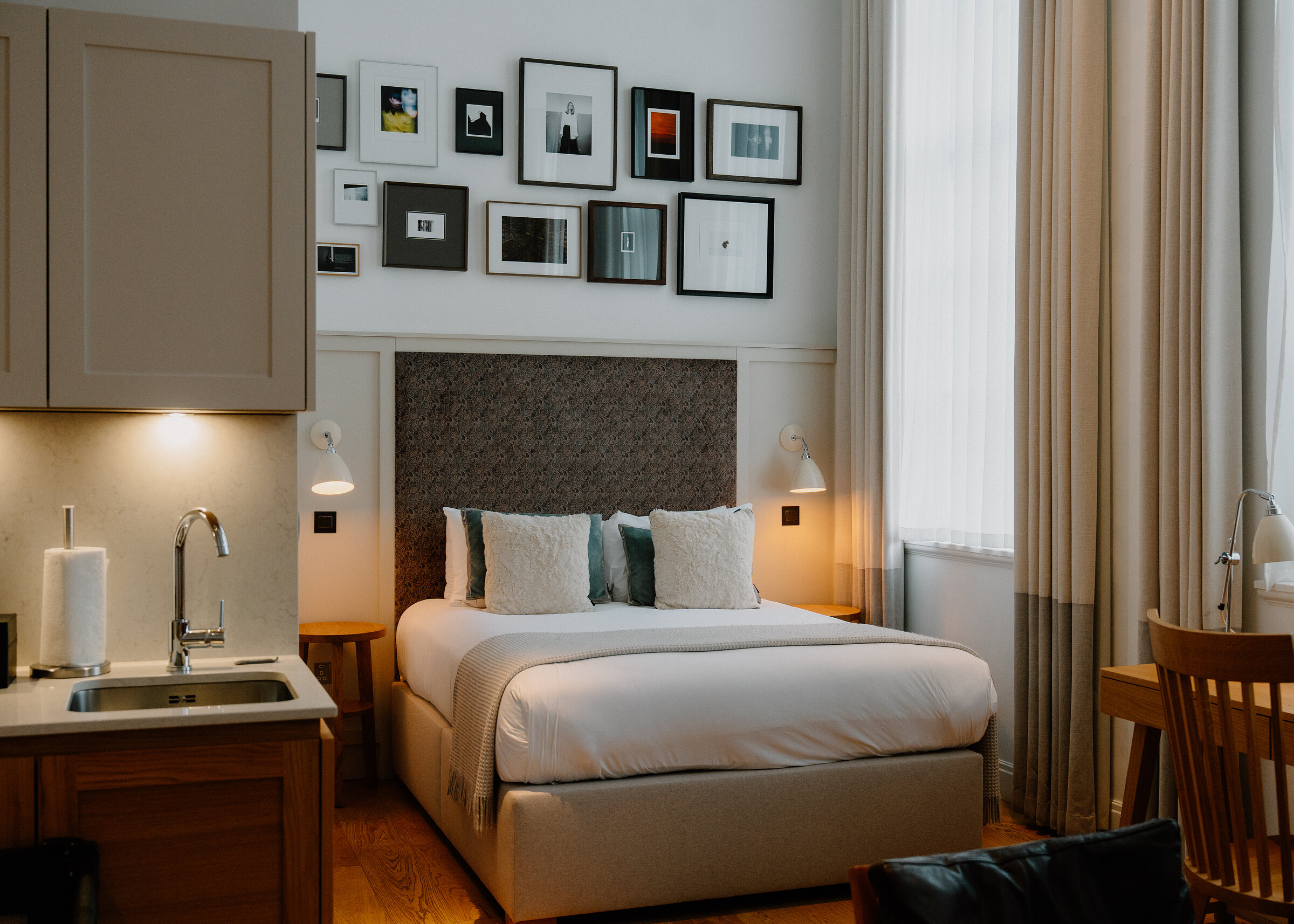 An advert · EdinburghOld Town Chambers22 minutes by road
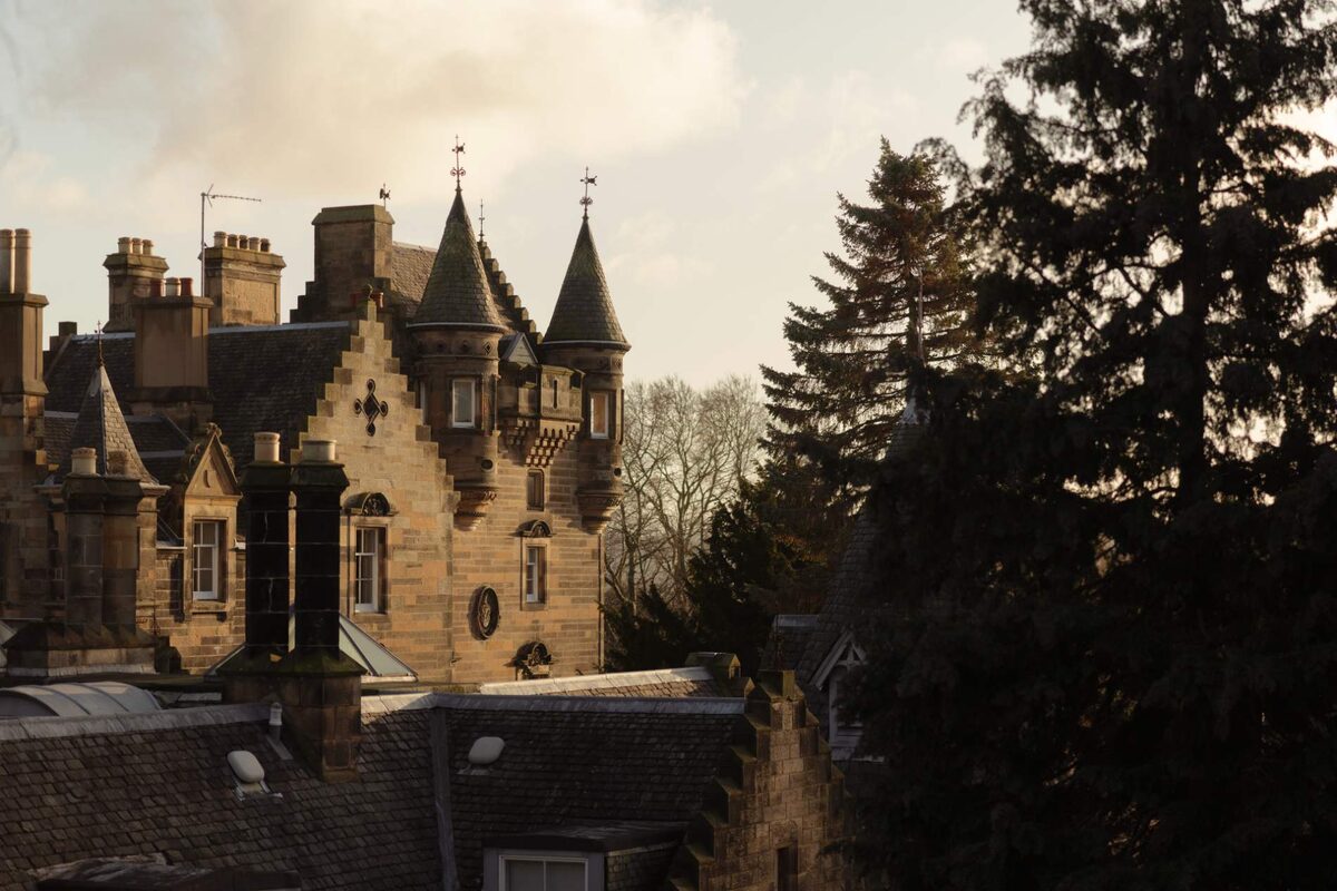 An advert · EdinburghThe Scott Hotel22 minutes by road
More walks near here
Within a short drive of the start.
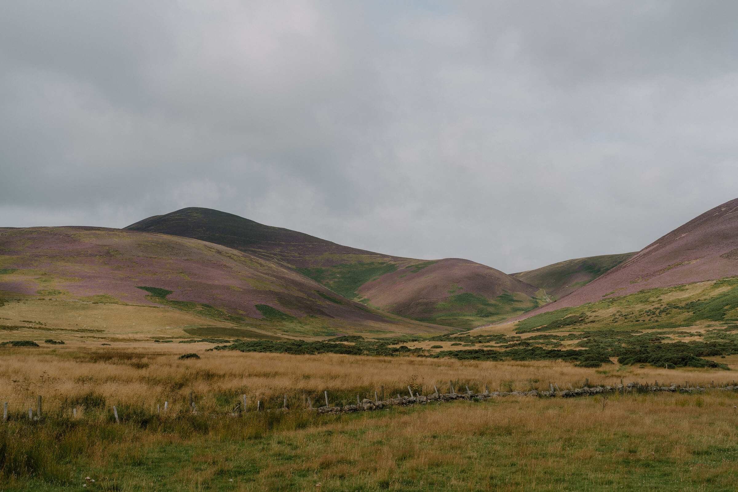 3 min by roadA hillScald Law7½ miles, about five hours
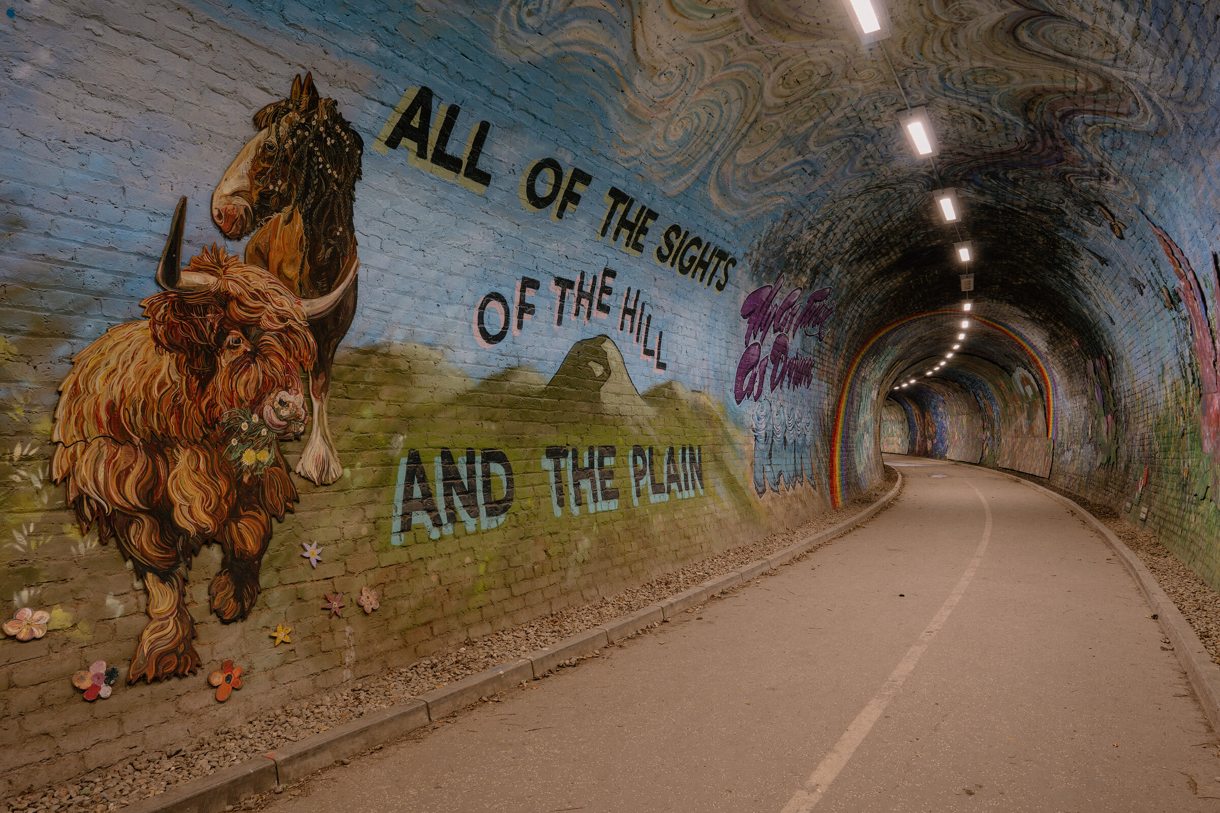 16 min by roadA walkColinton Tunnel3 miles, about 1¼ hours
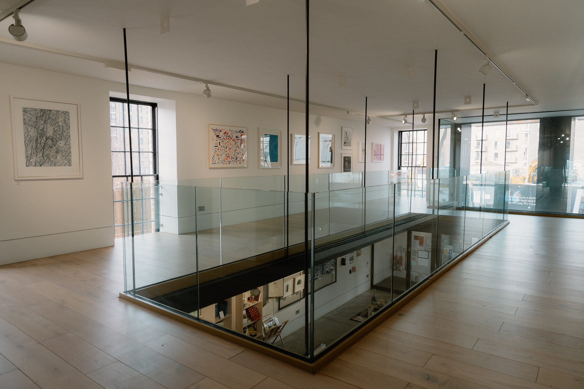 17 min by roadA walkEdinburgh Printmakers2 miles, about 45 minutes
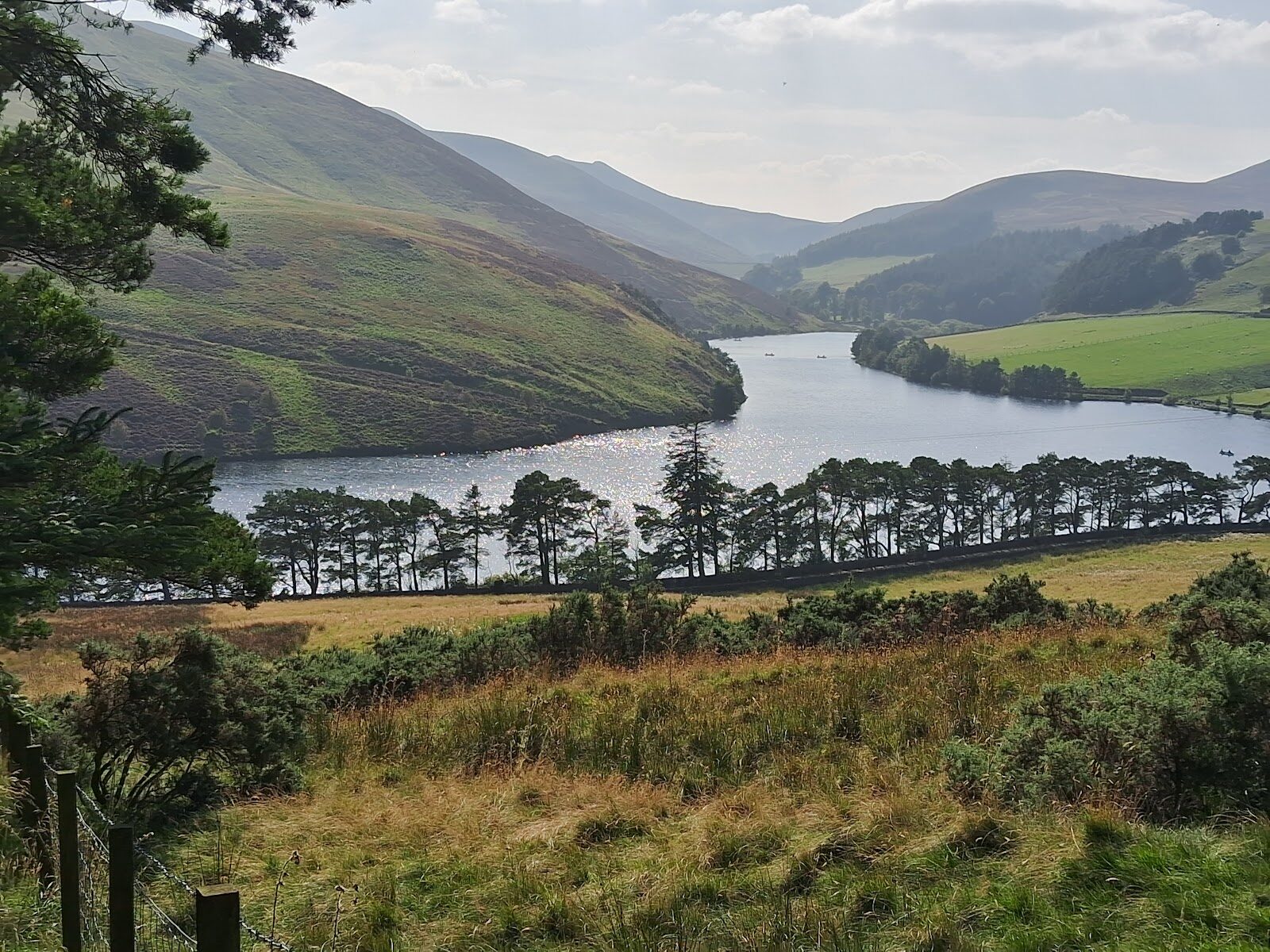 4 min by roadA walkGlencorseAbout an hour and a half
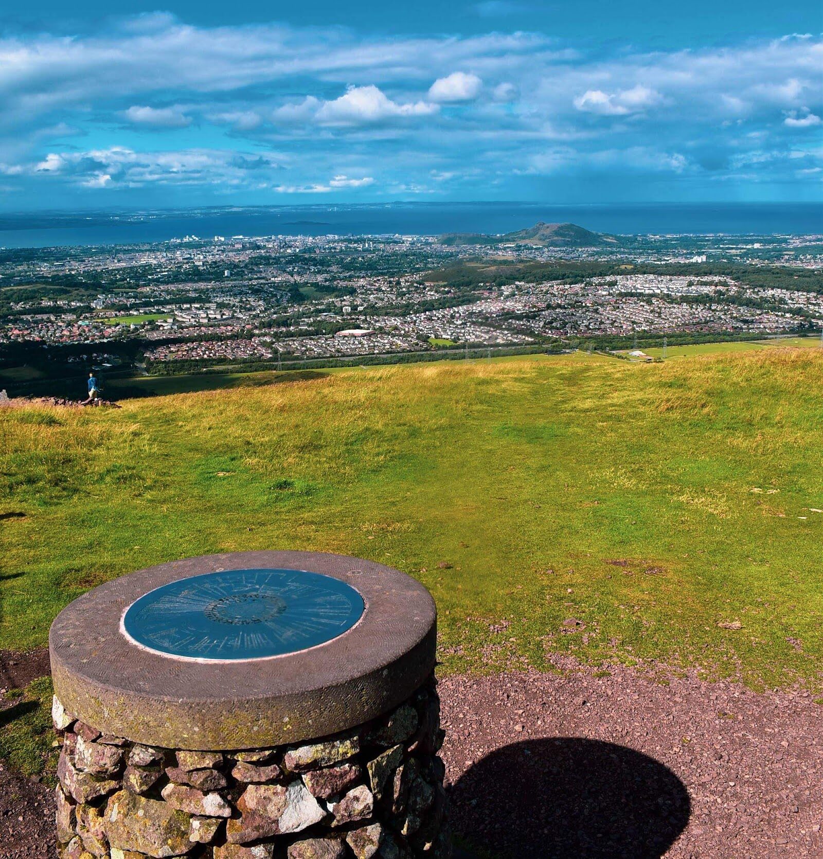 7 min by roadA hillCaerketton and AllermuirAbout three hours for the hill round
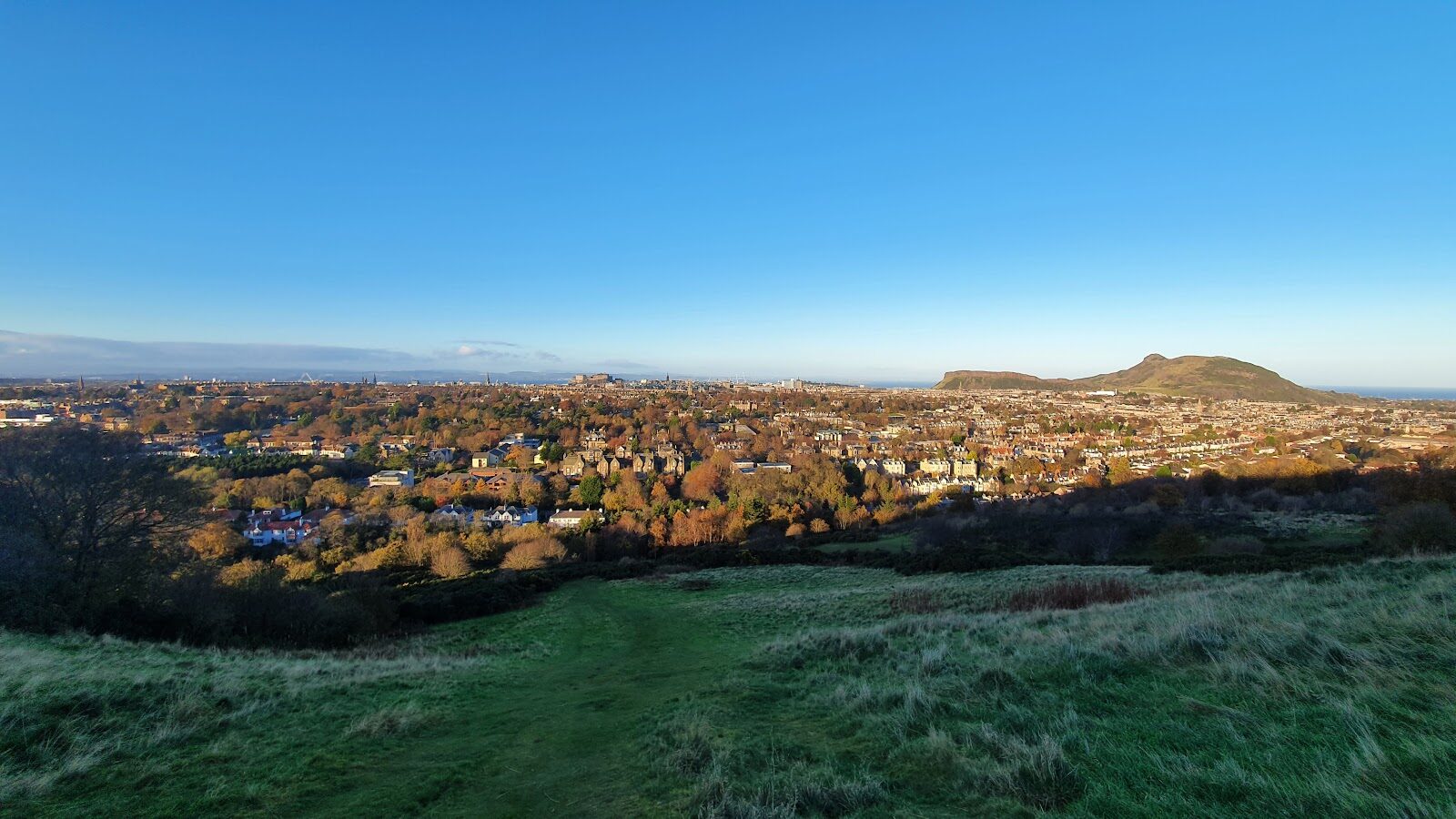 14 min by roadA hillThe Hermitage of Braid2½ miles, about an hour and a half
Did this walk?
Tell the next person how it went. The best go on this page, with your name.
For further reading, before you go.
- Old Kirk Road from Bavelaw to Penicuik, ScotWays Heritage Pathsscotways.com↗
- Signposting, ScotWaysscotways.com↗
- Visitor guide and map, Pentland Hills Regional Parkpentlandhills.org↗
- How to find us, Pentland Hills Regional Parkpentlandhills.org↗
- Walking with dogs, Pentland Hills Regional Parkpentlandhills.org↗
- Safety in the hills, Pentland Hills Regional Parkpentlandhills.org↗
- The Flotterstone Innflotterstone.co.uk↗
Maps from OpenFreeMap © OpenMapTiles, data © OpenStreetMap contributors; heights from Mapzen's terrain tiles.