
Loch an Eilein – Round the Island Castle in the Pines
3 miles · 1 to 1½ hours · flat · a loop
£5 parking · dogs on a lead · toilets
Loch an Eilein lies in the old Caledonian pinewood of Rothiemurchus, just south of Aviemore, with the ruin of a castle on a small island close to its shore.
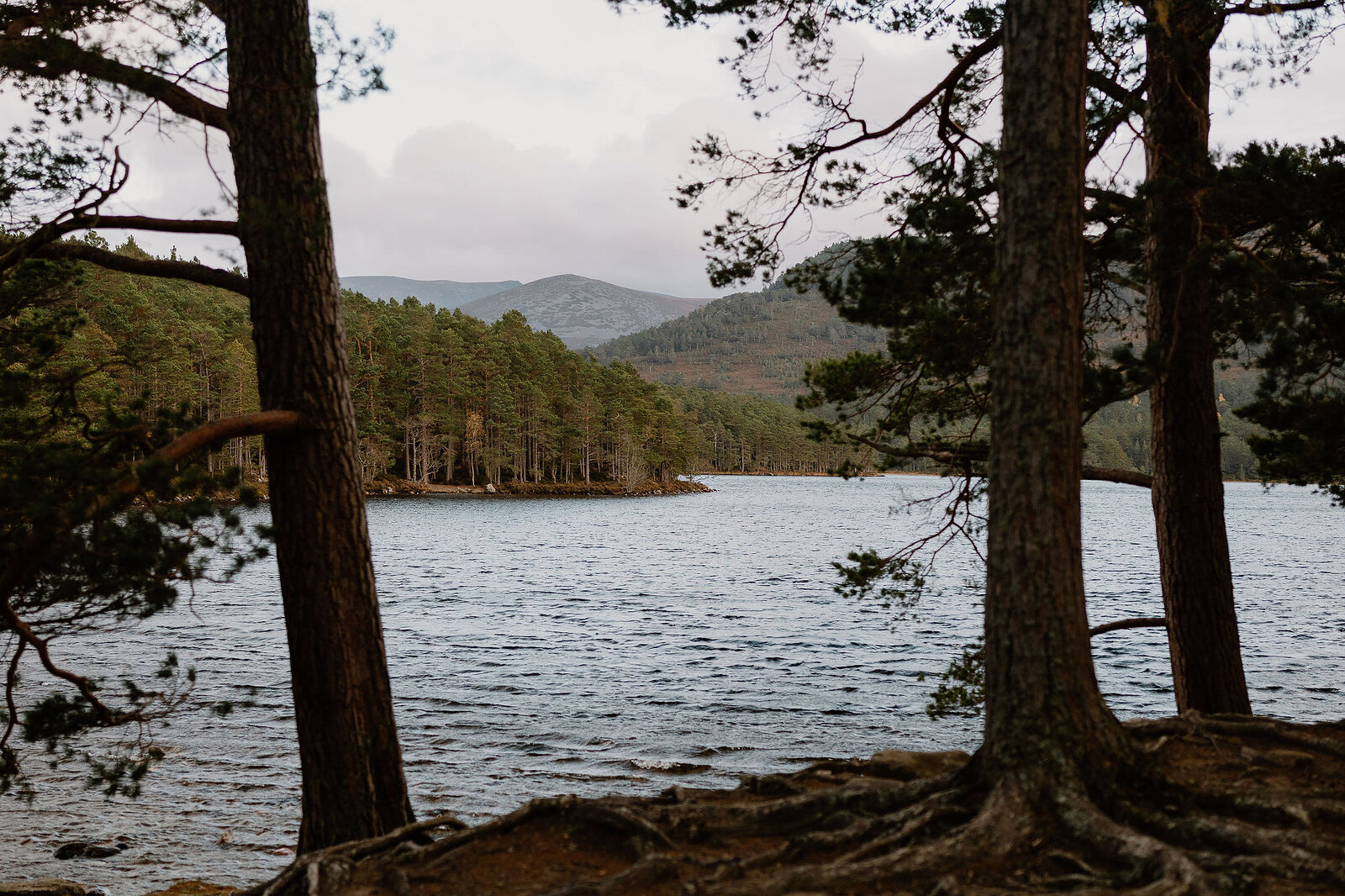
The path round it is level the whole way, under Scots pines that are in places more than three hundred years old, with the hills of the Cairngorms rising beyond the water. The castle, said to have been built for the Wolf of Badenoch and later a refuge from raiders on the Thieves' Road, keeps coming back into view between the trunks.
Say it
Lokh an AY-lin. The name is Gaelic for the loch of the island.
Where it starts
Start at the Rothiemurchus estate's attended car park at the north end of the loch, at the end of the Loch an Eilein road, which is signed from the B970 by Inverdruie.
Is it for me?
Tap who is coming, or the day you have, for the answer on this walk.
Before you go
Getting there
Parking is £2 a person or £5 a car, £15 for a minibus, at the time of writing; Friends of Rothiemurchus park free. The road down is shared with walkers and cyclists at up to 20mph, and its narrow bridge does not suit coaches, motorhomes or caravans. No bus runs to the loch. Stagecoach's 30 from Aviemore station towards Cairngorm stops on the B970 by the Rothiemurchus Centre at Inverdruie, where the estate's longer version of the walk starts (12.6 km there, round the loch and back): check the times.
On the path
An hour to an hour and a half's walking: a loop of about 5 km (just over 3 miles) round the loch. Low-level paths and tracks with no long or steep gradients; they can be muddy or icy, so wear sturdy footwear. For children, no long or steep climbs, and a castle on an island to look out for. The map to carry is OS Explorer OL57, Cairn Gorm & Aviemore (1:25,000); OS Landranger 36, Grantown & Aviemore (1:50,000) shows the country round it.
Good to know
All year, in daylight. The gallery at the car park has opened from early April to the end of October. Keep dogs at heel or on a short lead on the paths: ground-nesting birds live here, above all from April to August. There is an off-lead dog area at Loch an Eilein. Toilets by the Loch an Eilein Centre at the car park. No fires or barbecues: the National Park bans them from 1 April to 30 September, and the estate asks for none at any time.
The walk
The loop is waymarked from the Rothiemurchus estate's car park at the north end of the loch, and the estate's own map is under Find out more, at the foot of this page. The paths are shared with cyclists, runners and the odd horse rider, so be ready to step aside and say hello.
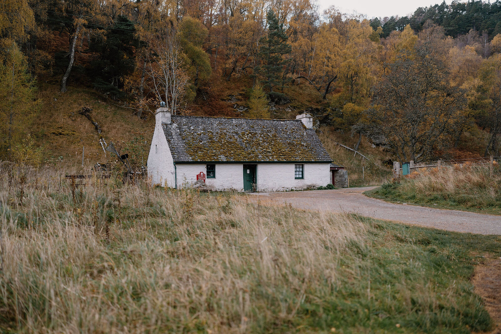
By the car park stands the Loch an Eilein Centre, a whitewashed old cottage turned gallery. The car park attendant can help you spot crested tits, which live in these pines with red squirrels and Scottish crossbills.
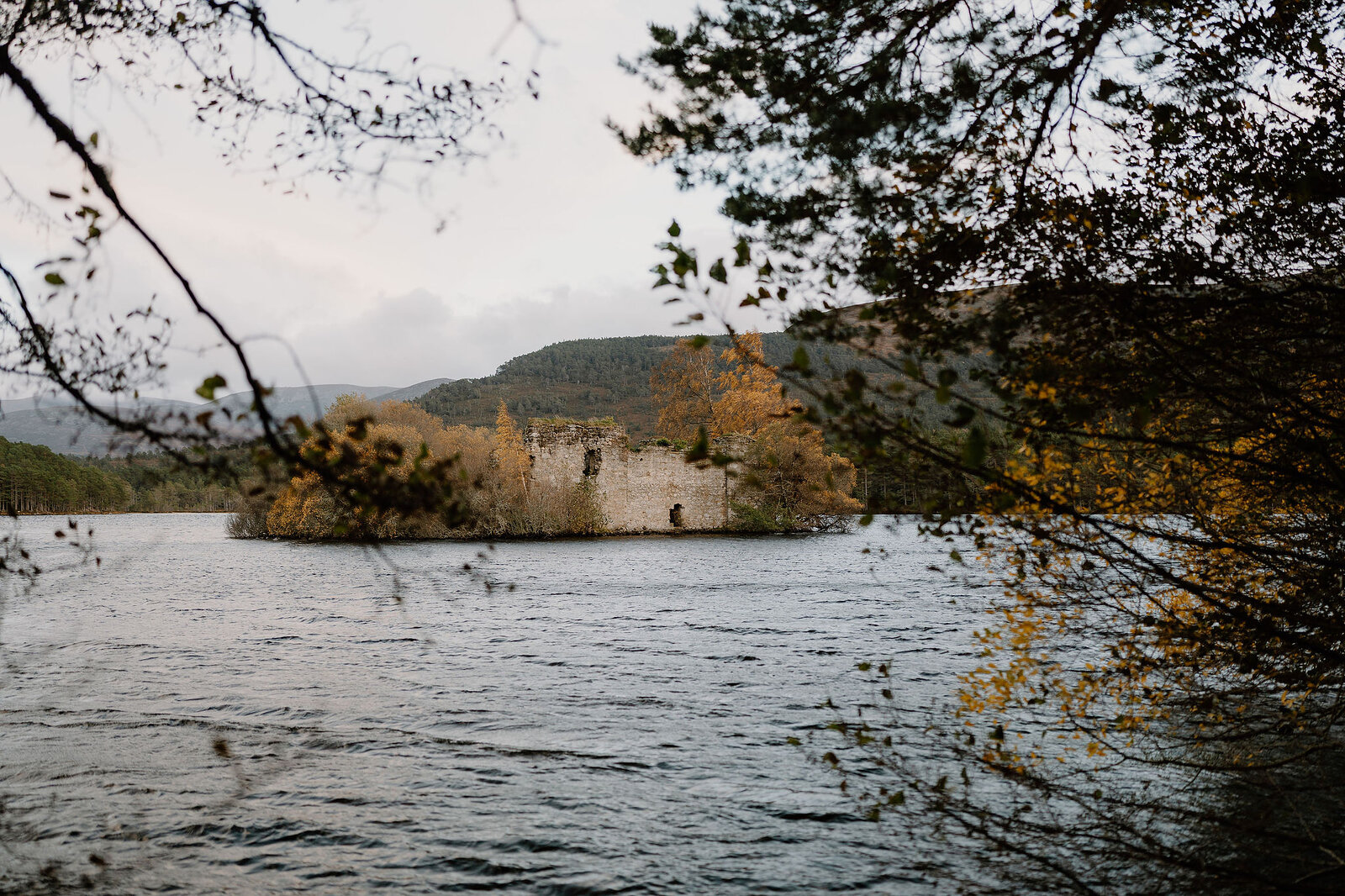
About 650 metres along the west shore you come opposite the castle on its island. The story goes that the Wolf of Badenoch, a son of King Robert, built a tower house here as a hunting lodge in the 1380s. Its walls show five phases of building, the last in the 1600s. It sheltered people from raiders on the Thieves' Road, and when Jacobites attacked it in 1690, one account has the laird's wife, Grizel Mor, casting musket balls for its defenders. On the shore here, look for the monument to General Rice, who drowned while skating.
The path rounds the broad south end and comes back up the east shore, the line of the old Thieves' Road. Some of the Rothiemurchus pines are over three hundred years old. At the north end, a dam and sluice built in the 1700s to float timber down to the Spey raised the loch and hid the zigzag causeway said to have reached the island.
The gallery has opened from early April to the end of October, selling coffee and ice cream: check before counting on it, and in winter bring a flask. There are toilets by the centre. For lunch, the Barn at Rothiemurchus, about 3 km back towards Aviemore, opens every day from 9.30am to 4.30pm, with soups and cakes by a wood-burning stove; its hours change a little over Christmas.
If it rains
Much of the loop runs under old pines, which take the edge off a shower. On a wet day, the walk out to the castle view and back is a short visit in its own right.
Wildlife you might spot
Crested tits, red squirrels and Scottish crossbills make their home in these pines, and ospreys are seen now and then in summer. The car park attendant can help you spot the crested tits.
Ospreys once nested on the castle itself: Elizabeth Grant of Rothiemurchus remembered them on its battlements in her Memoirs of a Highland Lady, looking back to the early 1800s.
After the walk
Coffee and cake, something to do with the rest of the day, and dinner, nearest the end of the walk first.
Straight after
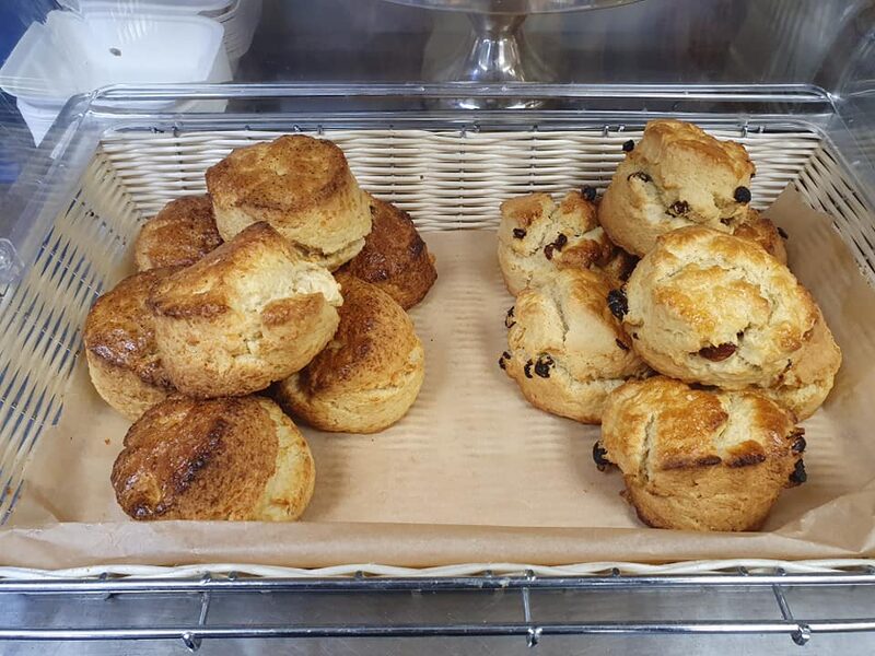
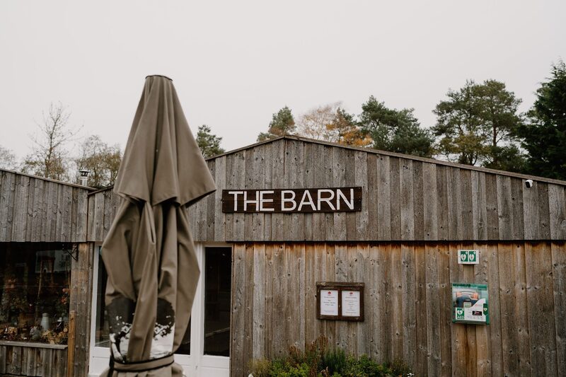 3 min by roadA caféThe Barn at RothiemurchusThe café at the Rothiemurchus Centre by Aviemore, with a wood-burning stove, Cullen skink and cheese scones, and a corner for dogs.
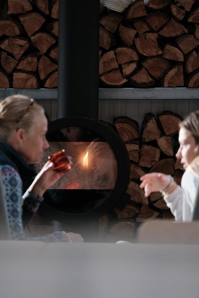
 12 min by roadA caféRoute 7 CaféA family café upstairs on the Dalfaber estate at the edge of Aviemore, with hearty food, lighter dishes and a welcome for dogs.
 12 min by roadA caféFoxfire CoffeeA speciality coffee bar just outside Aviemore, with cinnamon buns baked in house and views towards the northern Cairngorms.
With the rest of the day
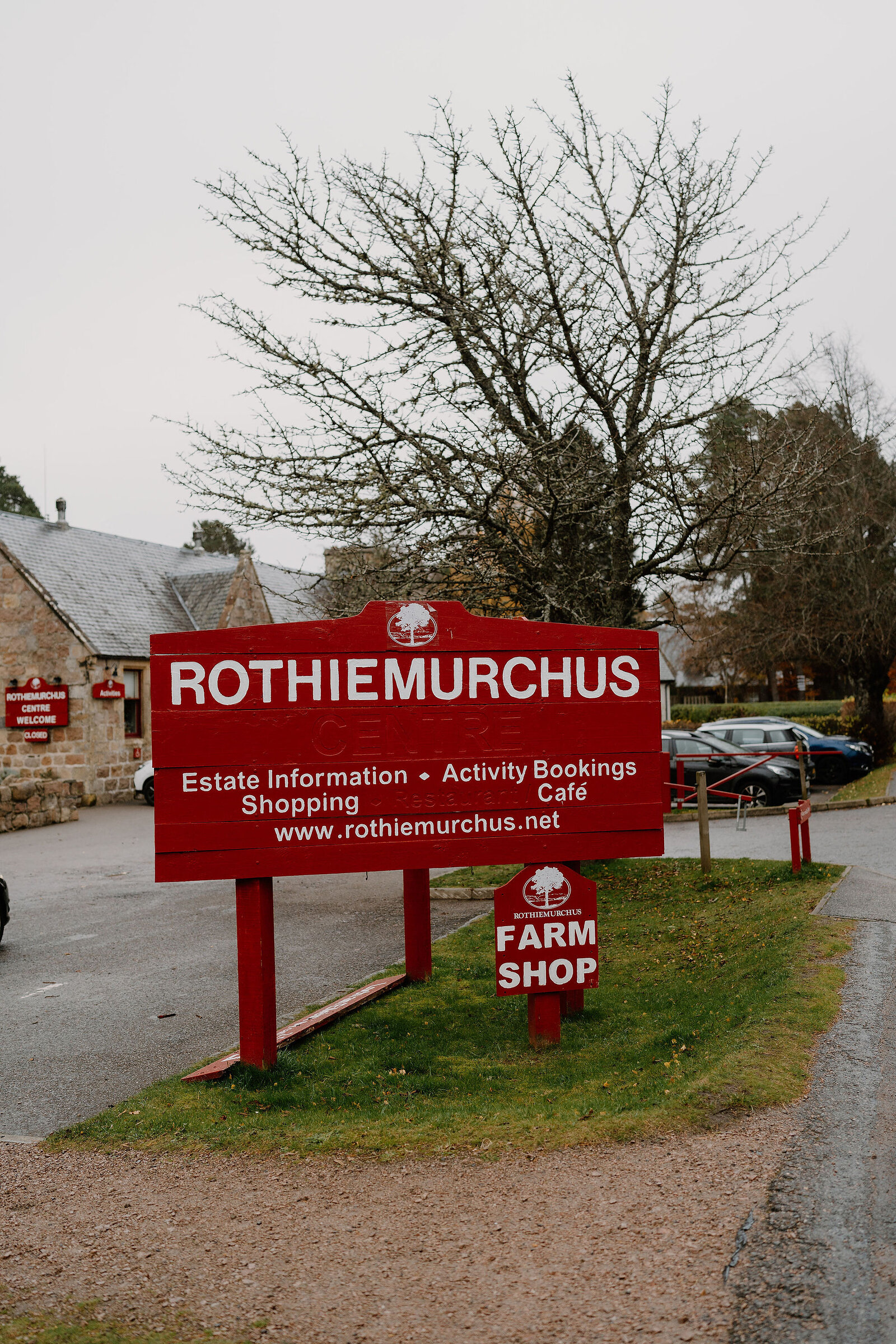 3 min by roadA shopRothiemurchus Farm ShopThe estate's own Highland beef and venison, trout and heather honey, with a deli counter, at the Rothiemurchus Centre by Aviemore.
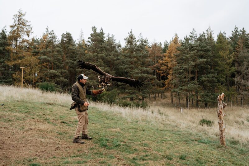 3 min by roadThings to doRothiemurchus FalconryFly owls, hawks and a great eagle yourself on the Rothiemurchus estate near Aviemore, with falconers Jonny and Daisy Ames.
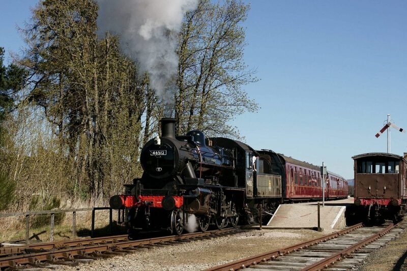 6 min by roadThings to doStrathspey RailwayHeritage steam trains through the Spey Valley from Aviemore to Boat of Garten and Broomhill, running since 1978.
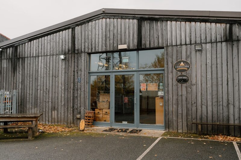 11 min by roadThings to doThe Cairngorm BreweryAviemore's own brewery since 2001, home of Black Gold, Wildcat and Trade Winds, with a shop and a Tap Room by the tanks.
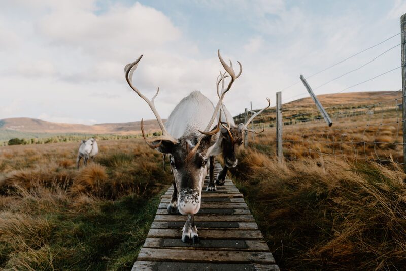 14 min by roadThings to doCairngorm Reindeer CentreBritain's only free-ranging herd of reindeer has roamed the Cairngorms since 1952, and the Reindeer Centre at Glenmore is where you meet them.
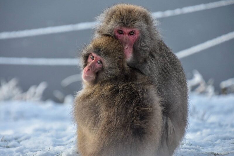 14 min by roadThings to doThe Highland Wildlife ParkThe Royal Zoological Society of Scotland's park at Kincraig, with Scotland's only polar bears, snow leopards, wolves and a drive-through reserve.
For dinner
The Old Bridge Inn in Aviemore, 5 minutes by road. A pub on the bank of the Spey in Aviemore, once a gamekeeper's cottage, with a log fire, seasonal cooking and dinner every evening.
The Rowan Tree Country Hotel in Alvie, 7 minutes by road. A small family-run hotel overlooking Loch Alvie, three miles south of Aviemore, whose restaurant serves dinner every evening to anyone who books.
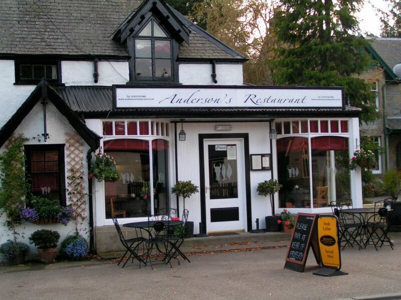
Andersons Restaurant in Boat of Garten, 16 minutes by road. A relaxed evening restaurant in Boat of Garten cooking local Scottish produce in season, with vegan and children's menus.
Places to stay near the walk
Our places to stay nearest the start, by road.
An advert
Killiehuntly Bothy
A stone cottage for a family of four in the old farm courtyard at Killiehuntly, near Kingussie, with a log stove, a bunk room and a welcome for the dog.
Sleeps 4 · 19 minutes by road
See Killiehuntly Bothy
More places to stay near the walk
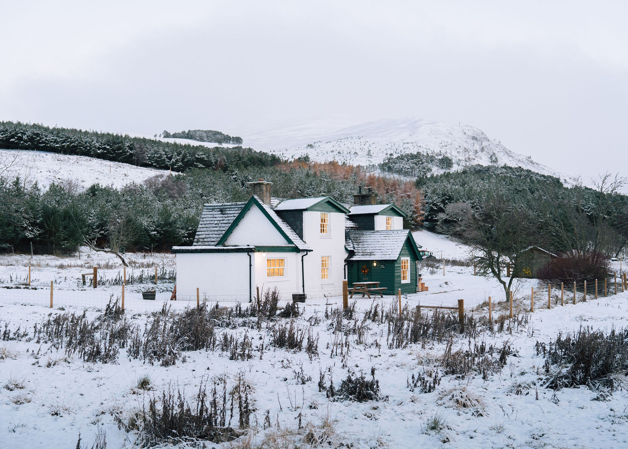 An advert · KincraigPark CottageSleeps 6 · 14 minutes by road
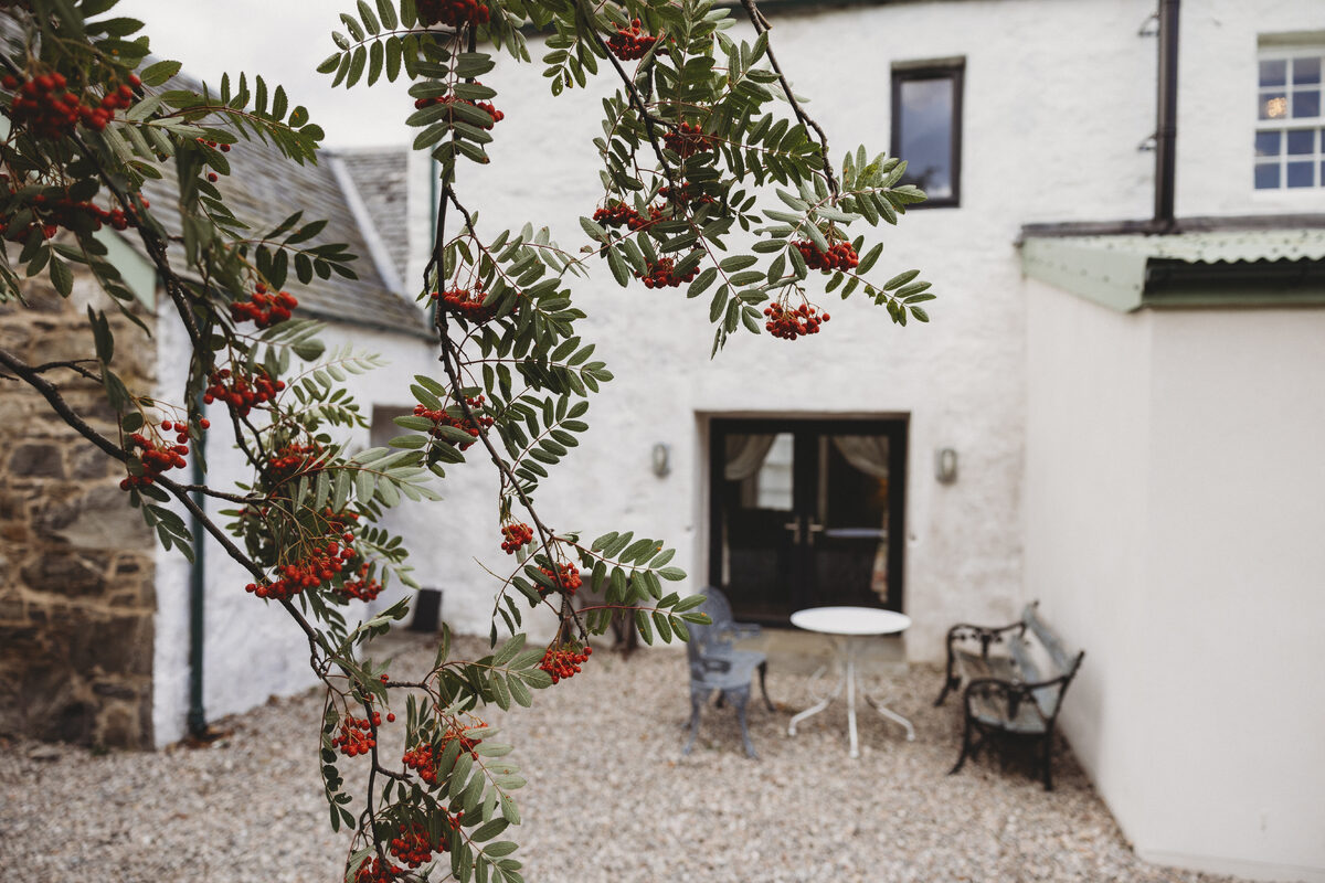 An advert · KingussieCairngorms Church Hill HouseSleeps 4 · 19 minutes by road
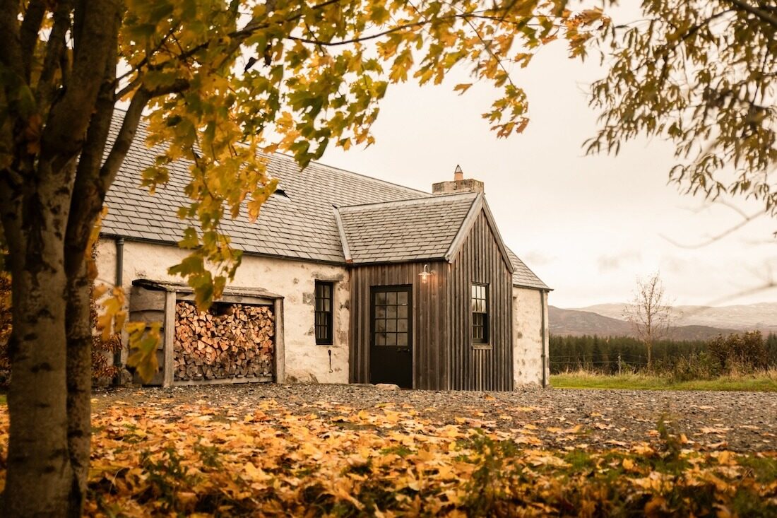 An advertGeordie’s CottageSleeps 5 · 19 minutes by road
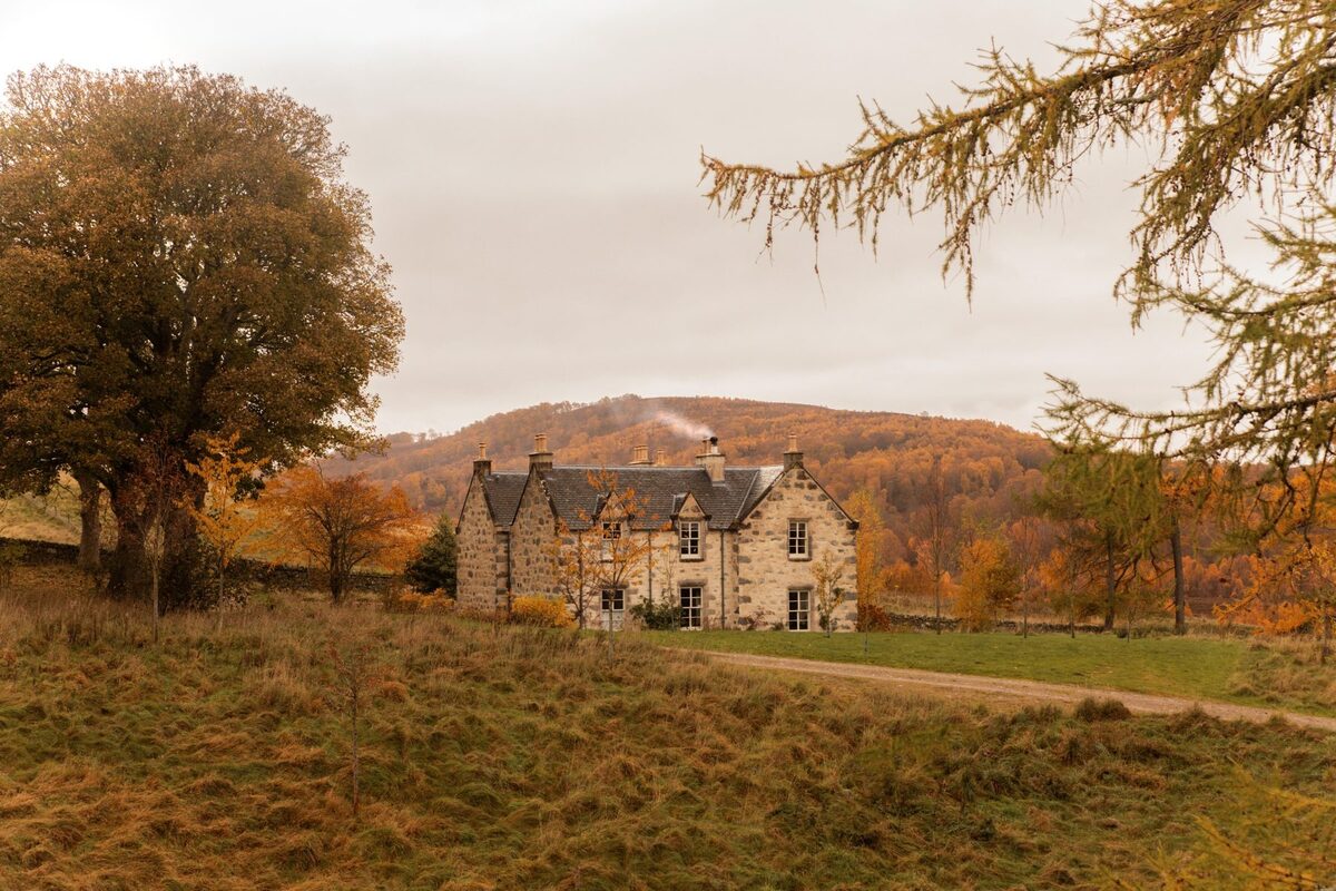 An advertKilliehuntly FarmhouseSleeps 10 · 19 minutes by road
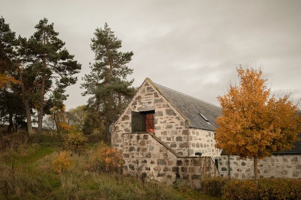 An advertThe HayloftSleeps 2 · 19 minutes by road
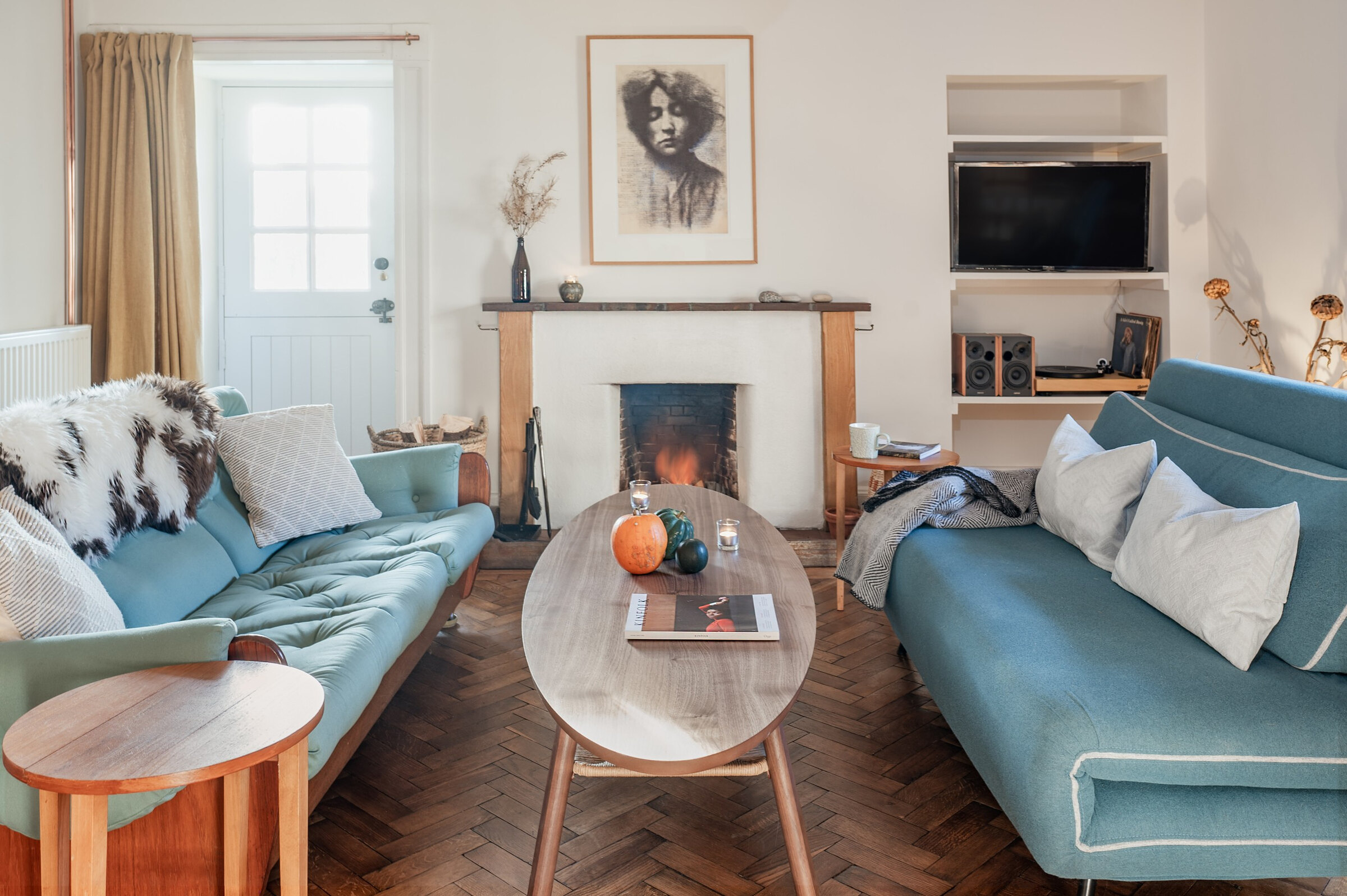 An advert · Nethy BridgeDell CottageSleeps 2 · 23 minutes by road
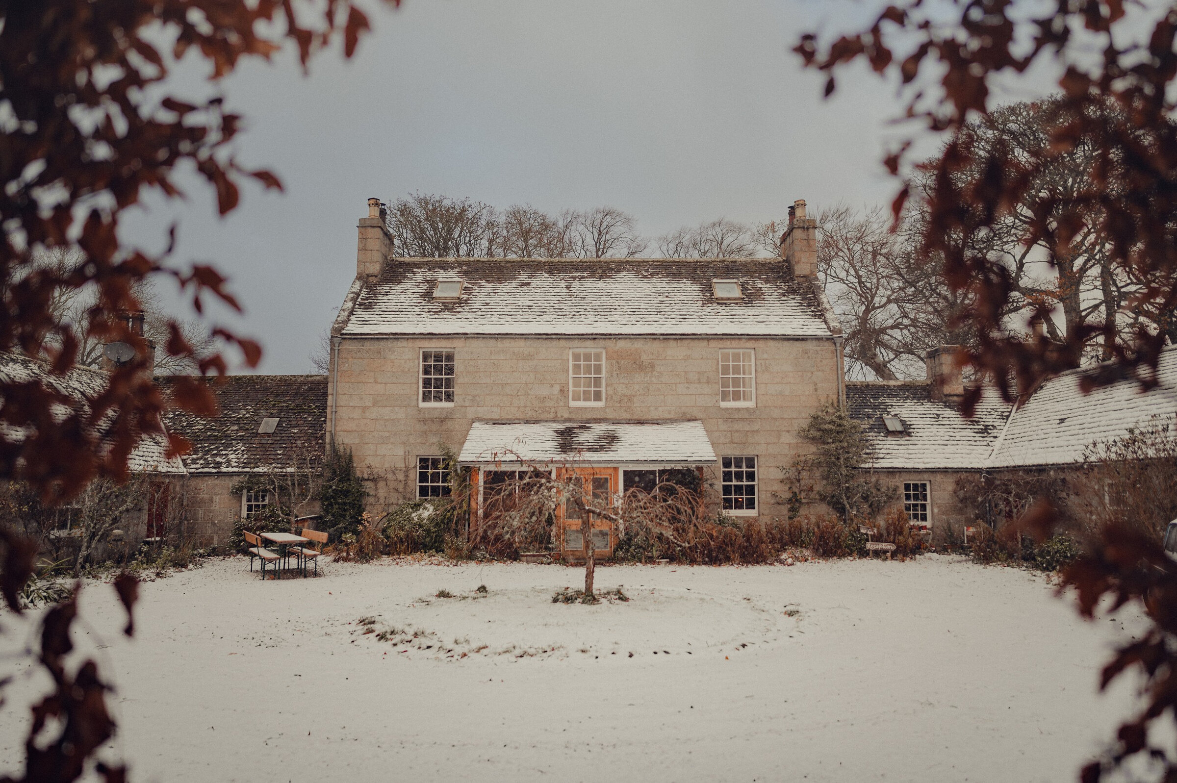 An advert · Nethy BridgeDell LodgeSleeps 8 · 23 minutes by road
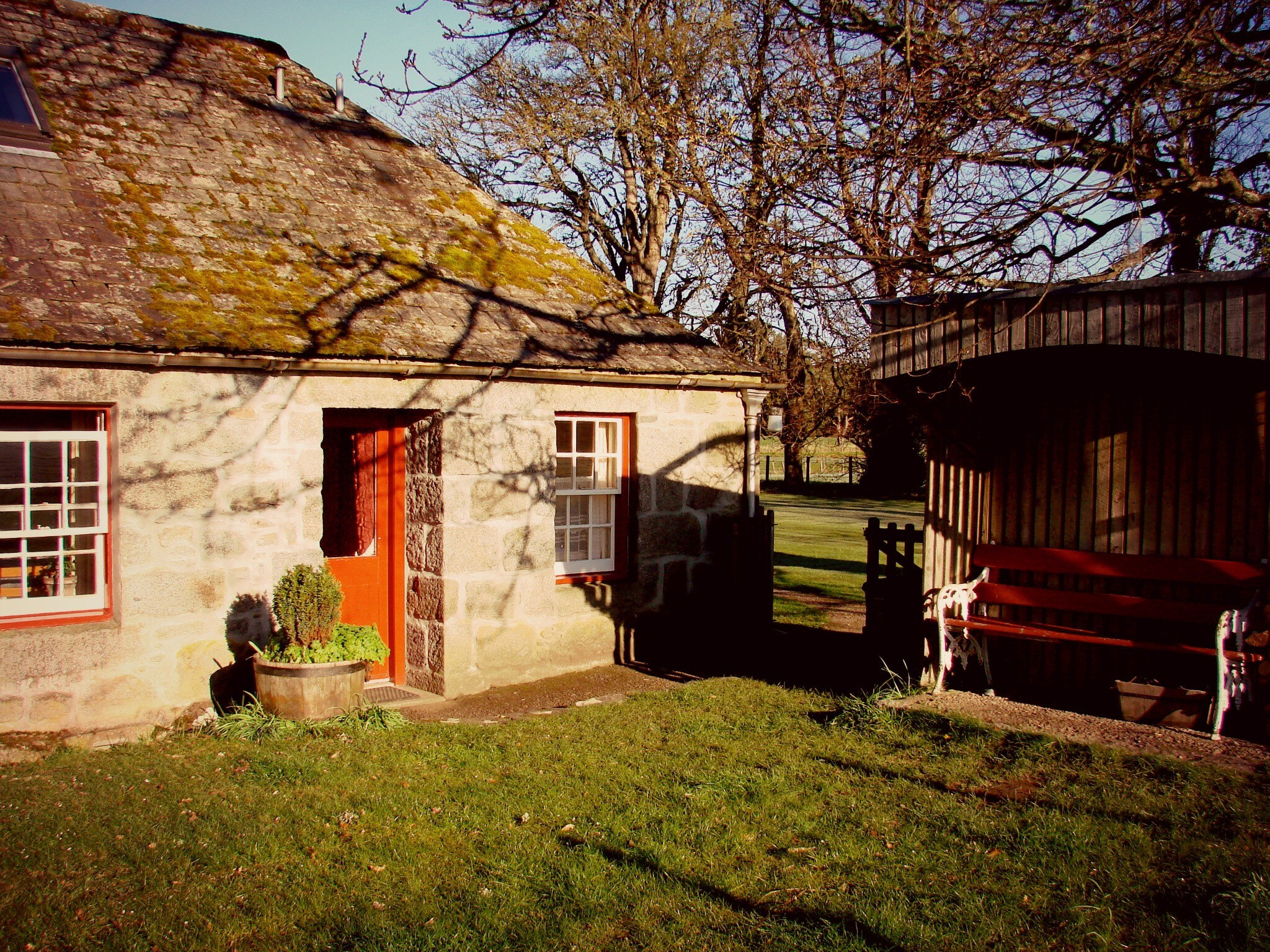 An advert · Nethy BridgeEast DellSleeps 5 · 23 minutes by road
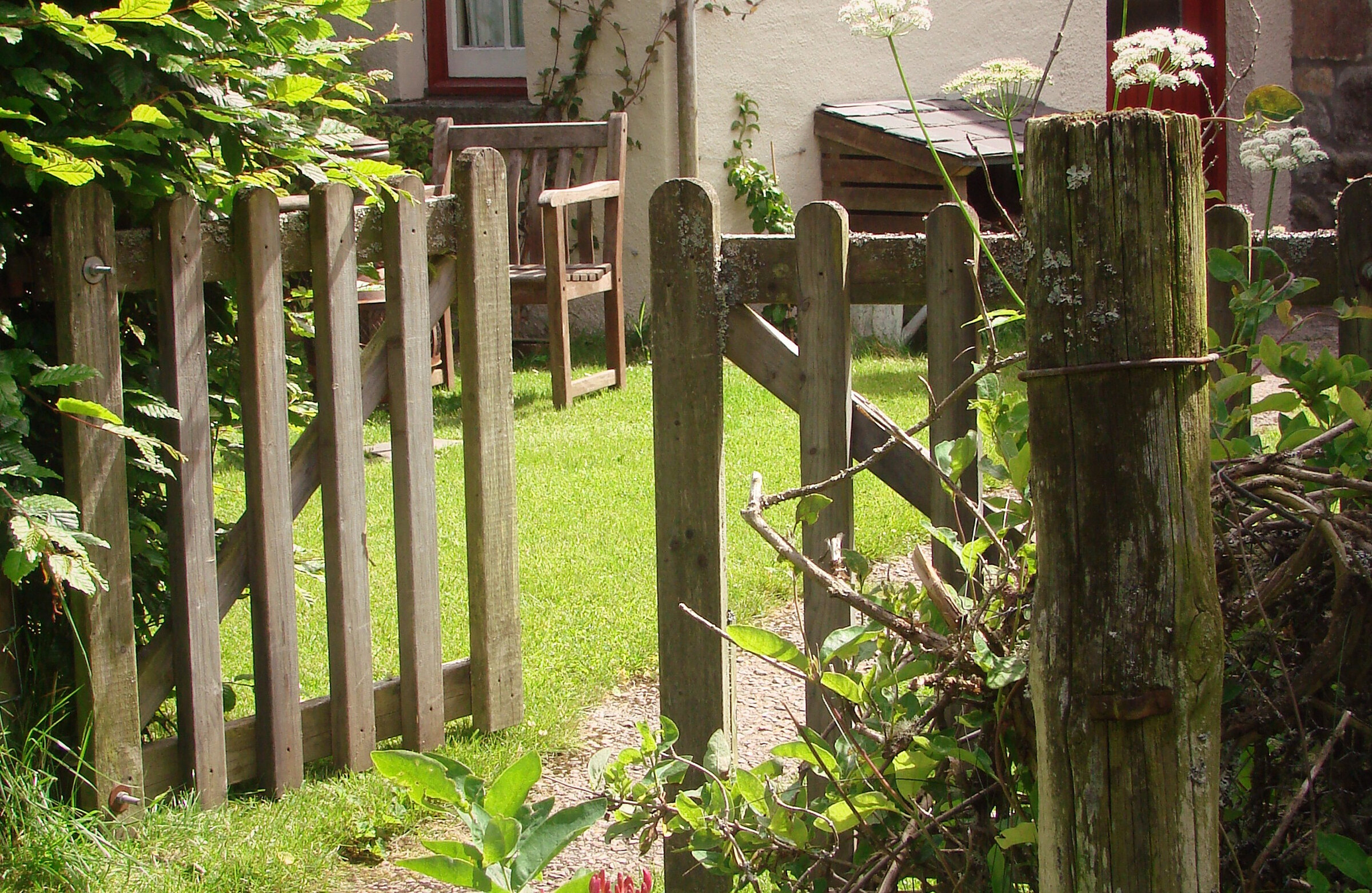 An advert · Nethy BridgeLittle DellSleeps 2 · 23 minutes by road
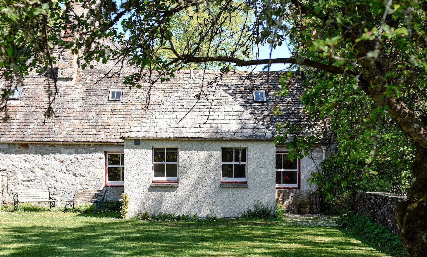 An advert · Nethy BridgeSouth DellSleeps 6 · 23 minutes by road
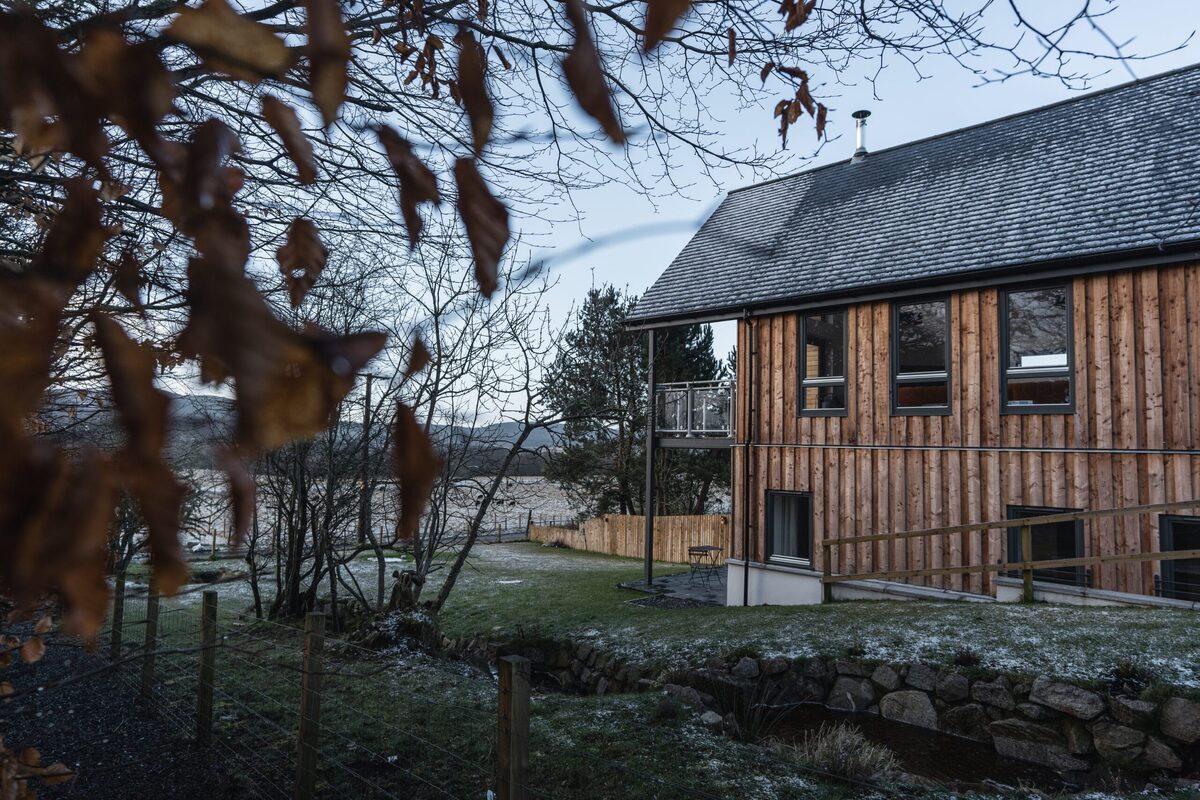 An advert · CarrbridgeStrathspey LodgeSleeps 8 · 23 minutes by road
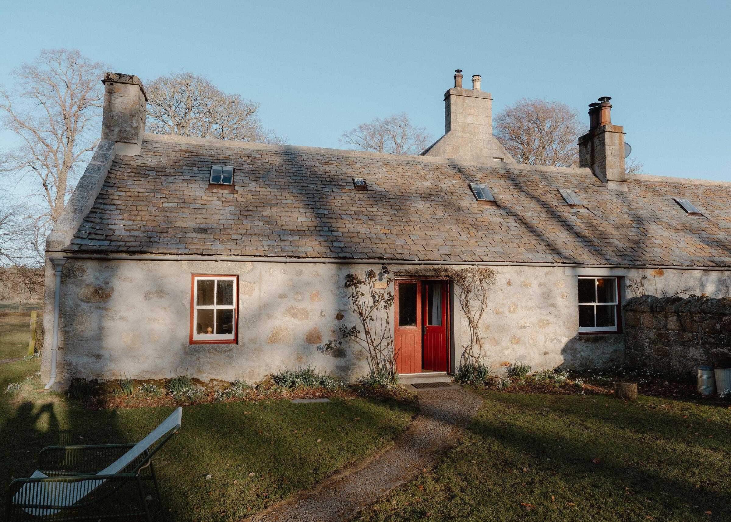 An advert · Nethy BridgeWest DellSleeps 6 · 23 minutes by road
More walks near here
Within a short drive of the start.
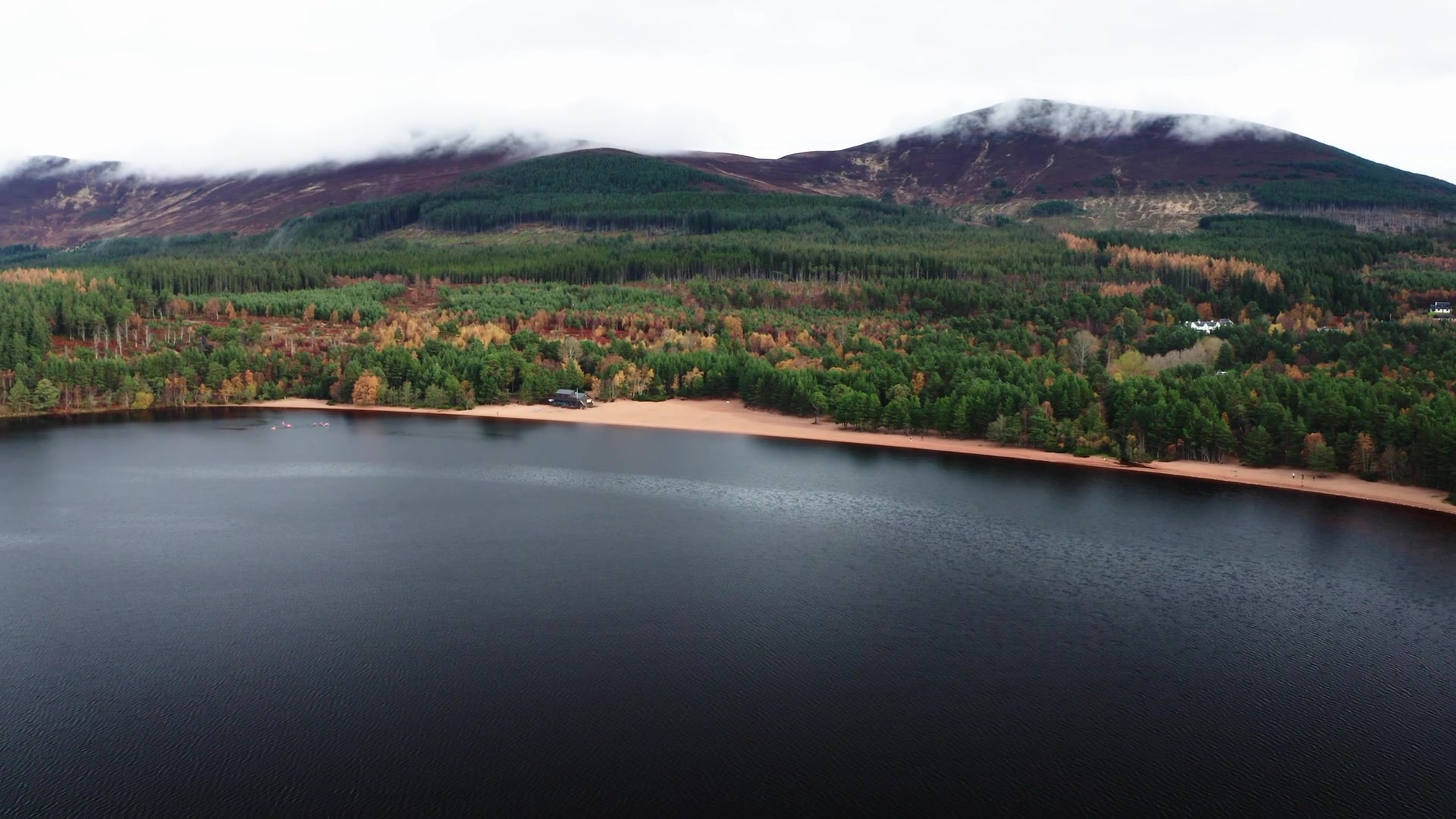 3 min by roadA long dayThe Old Logging Way5½ miles, about 3¾ hours, one way
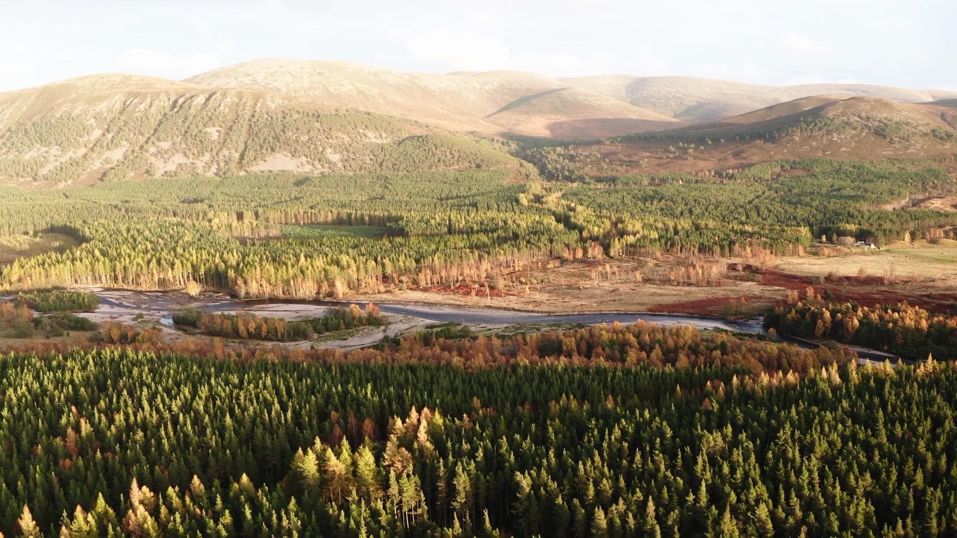 8 min by roadA walkRiver Feshie1¼ miles, about an hour
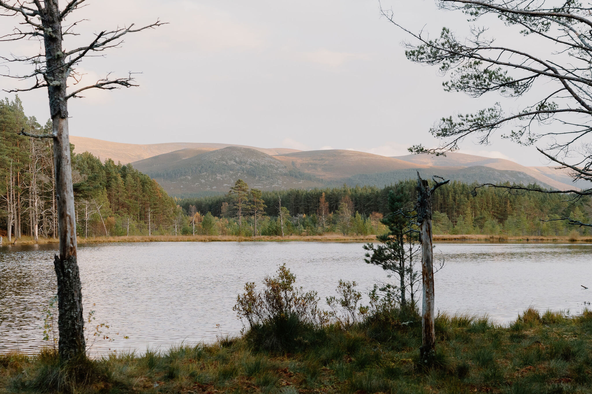 12 min by roadA walkUath Lochans3½ miles, 2 to 2½ hours for both trails
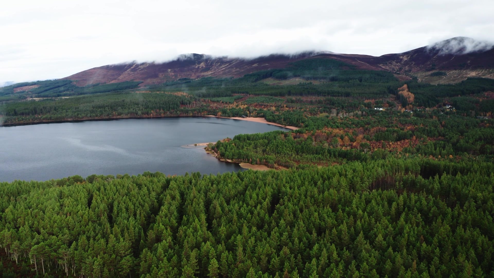 13 min by roadA walkLoch Morlich3½ miles, about two hours
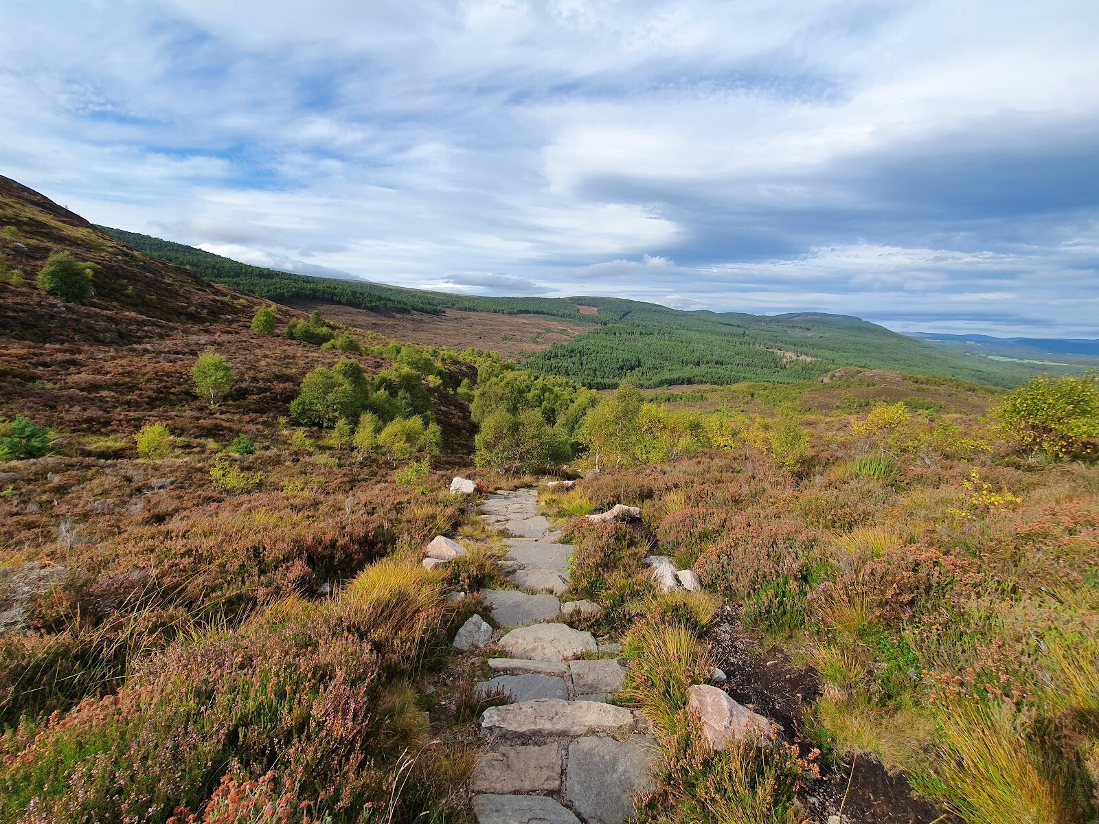 6 min by roadA hillCraigellachie2¾ miles, about two hours
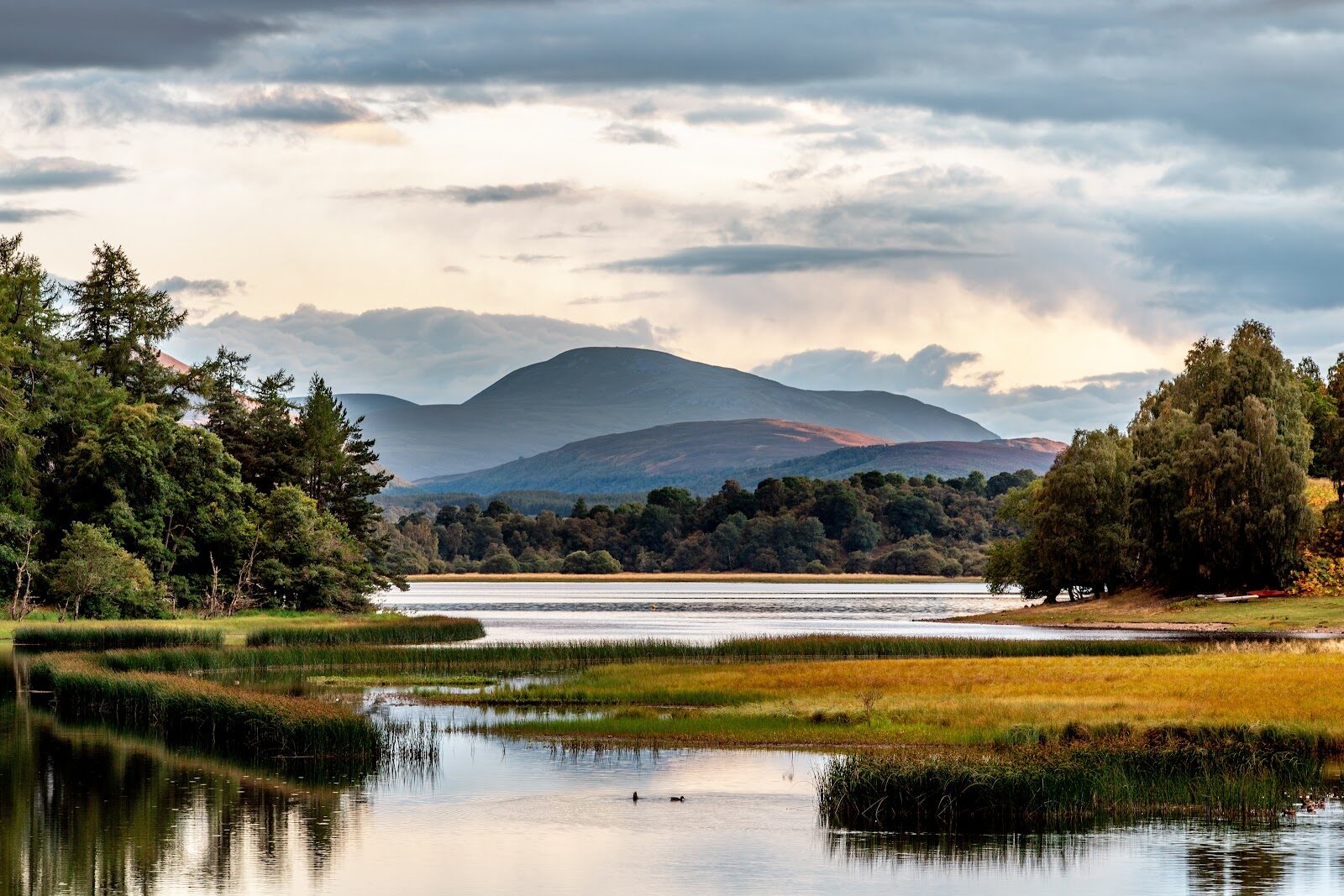 10 min by roadA strollLoch Insh1½ miles, about an hour
Did this walk?
Tell the next person how it went. The best go on this page, with your name.
For further reading, before you go.
- The Loch an Eilein Trail and its map, Rothiemurchusrothiemurchus.net↗
- Loch an Eilein, its history and parking, Rothiemurchusrothiemurchus.net↗
- Walking with your dog, Cairngorms National Park Authoritycairngorms.co.uk↗
- Loch an Eilein Castle, Highland Historic Environment Recordher.highland.gov.uk↗
- The route in detail, Walkhighlandswalkhighlands.co.uk↗
- Walkers' recordings and reviews, AllTrailsalltrails.com↗
Maps from OpenFreeMap © OpenMapTiles, data © OpenStreetMap contributors; heights from Mapzen's terrain tiles.