
Sutherland. Sutherland guide
Lone mountains, white-sand bays and the empty roads of the far north, from Dornoch to Cape Wrath.
The four parts of Sutherland
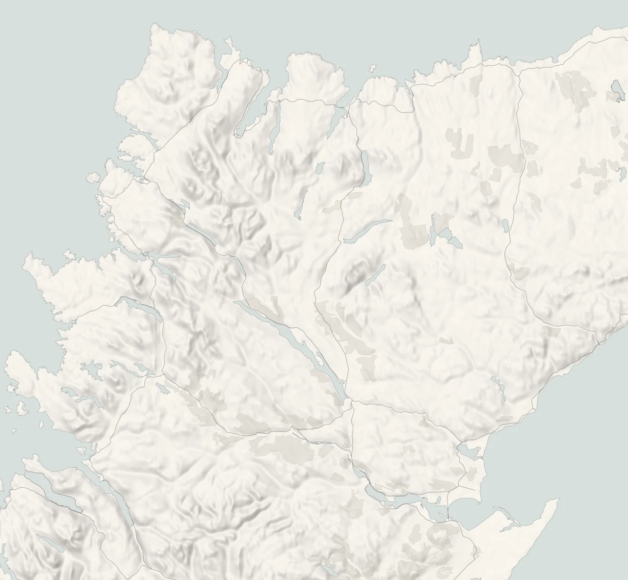
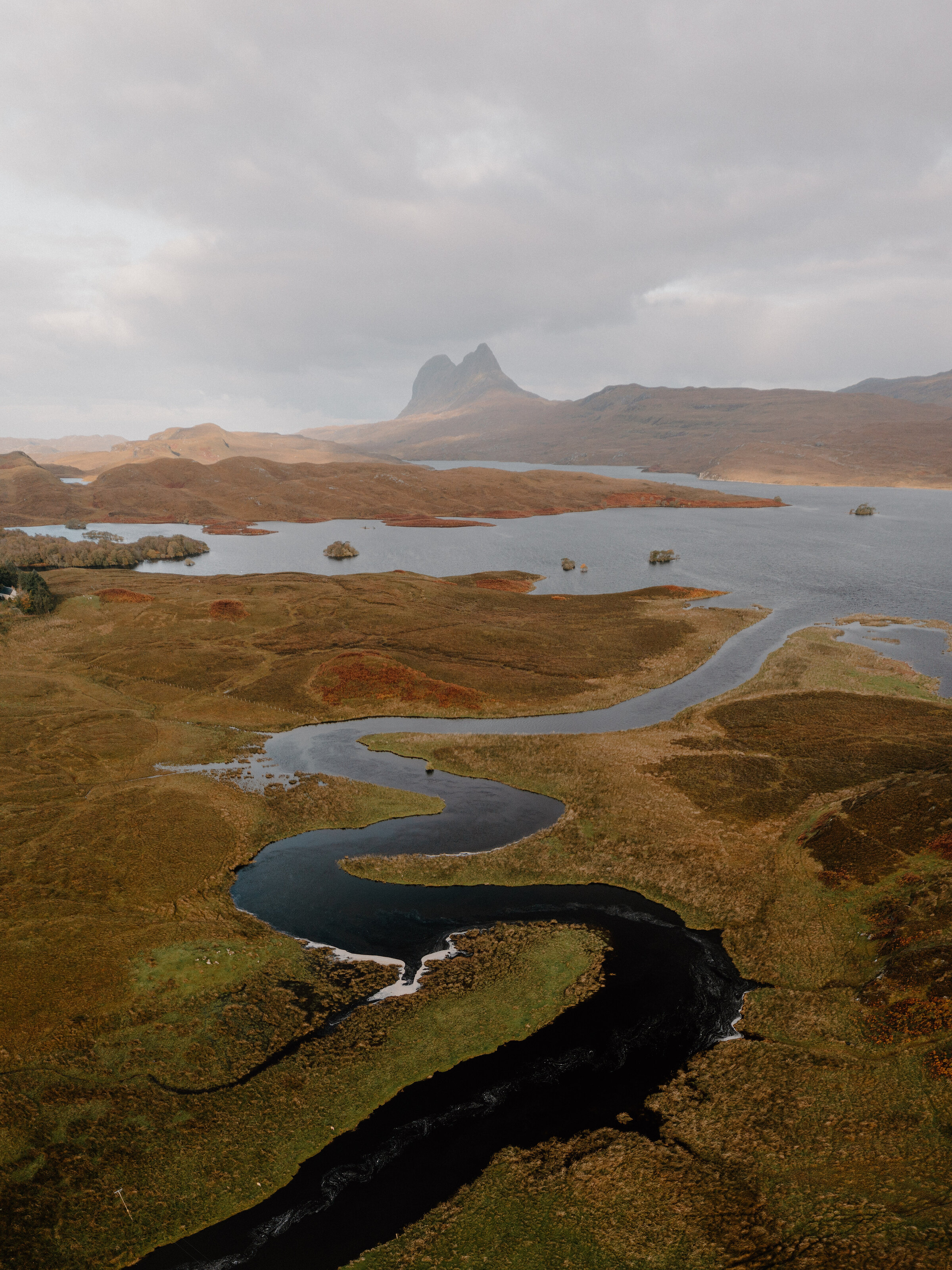
Sutherland is the top left-hand corner of mainland Scotland, and it has the feel of the edge of the map. It reaches from the Dornoch Firth in the south-east all the way round to Cape Wrath, then east along the north coast towards Caithness. Most of it is wide, open country. Lone mountains stand up out of the moor, lochs fill every hollow, and single-track roads wind for miles between passing places. The Norse earls of Orkney called it the southern land, which says a good deal about how far north they lived. Come for the space, the light and the quiet, and leave yourself plenty of time.
Lochinver and Assynt
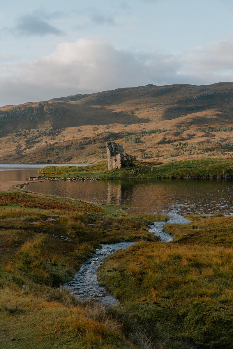
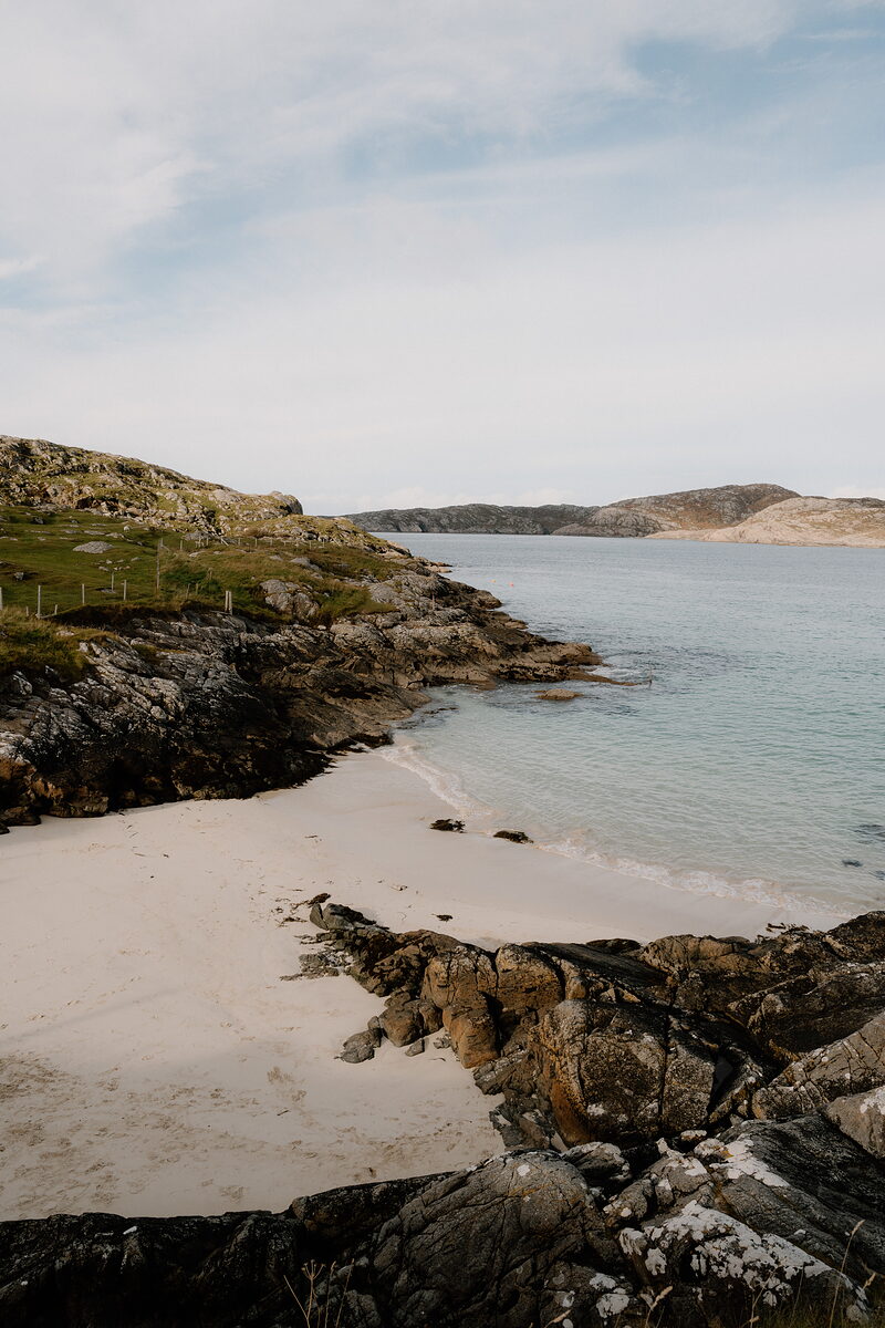
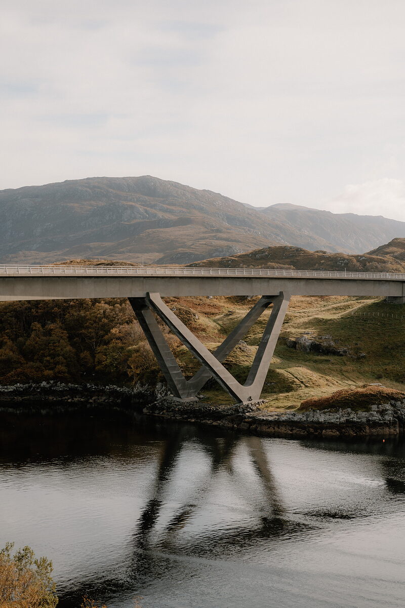
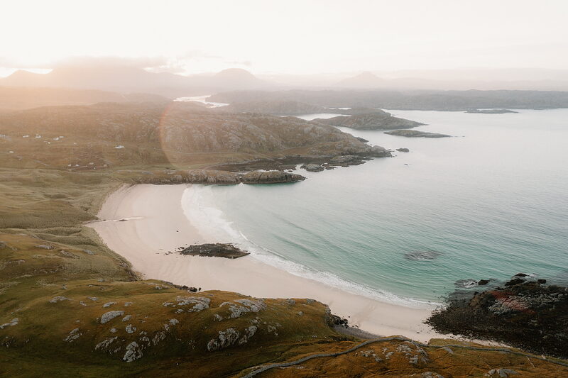
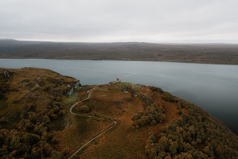
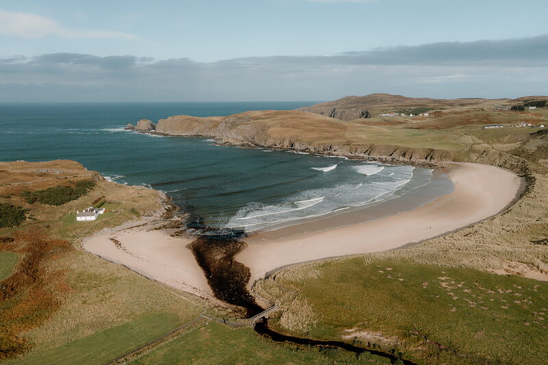
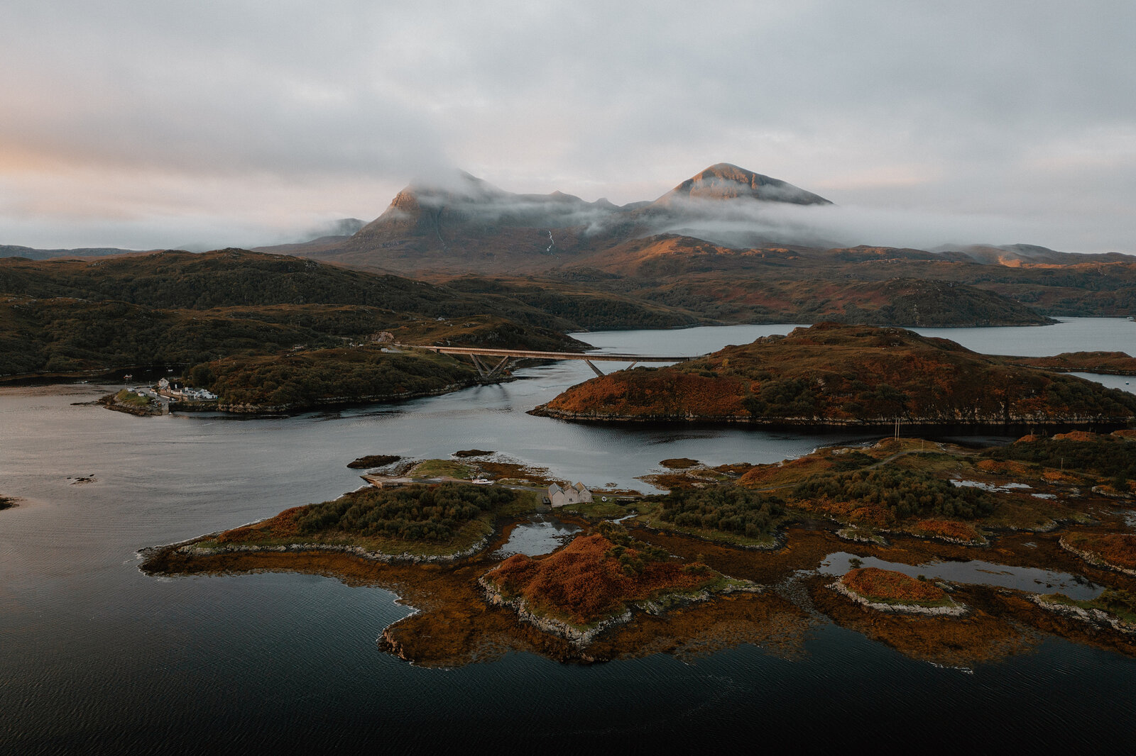
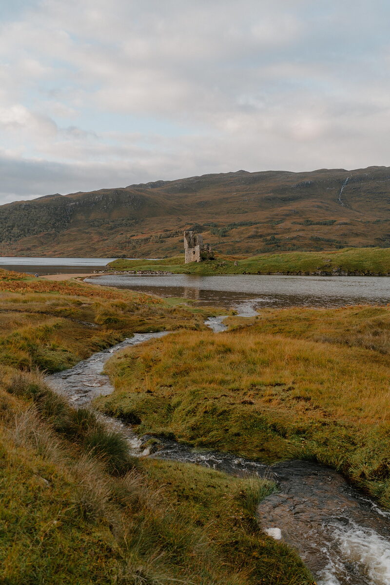
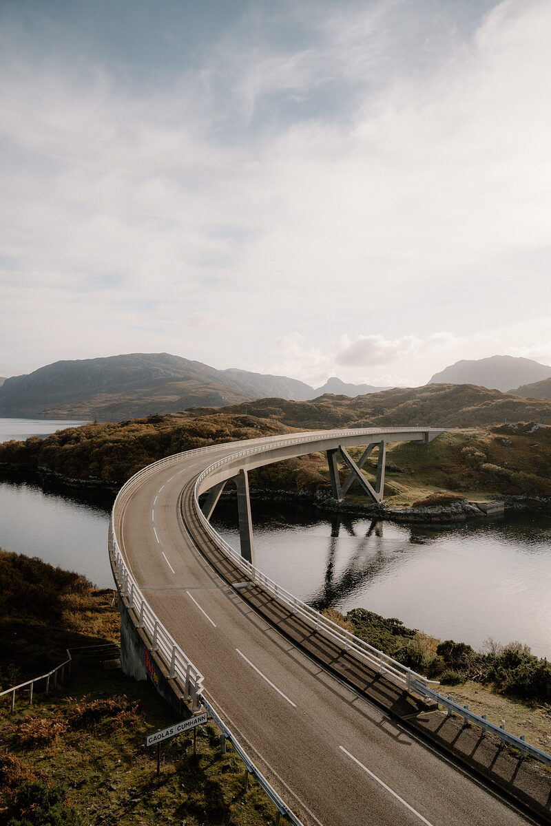
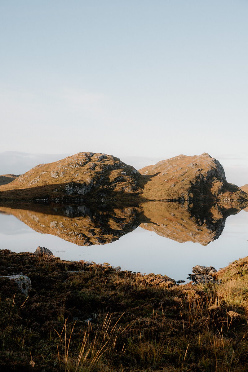
Assynt is a wild land of lochans and lone mountains, Suilven, Canisp and Quinag among them, with Lochinver's harbour on its coast. Achmelvich has white sand and turquoise water, Ardvreck Castle stands ruined on Loch Assynt, and at Kylesku a curved bridge crosses the narrows, with boats up the loch towards Britain's highest waterfall.
Durness and the far north-west
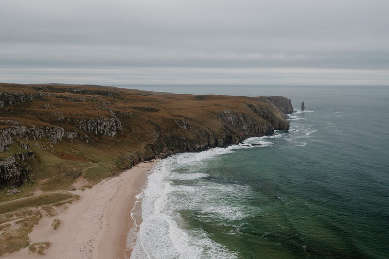
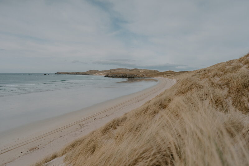
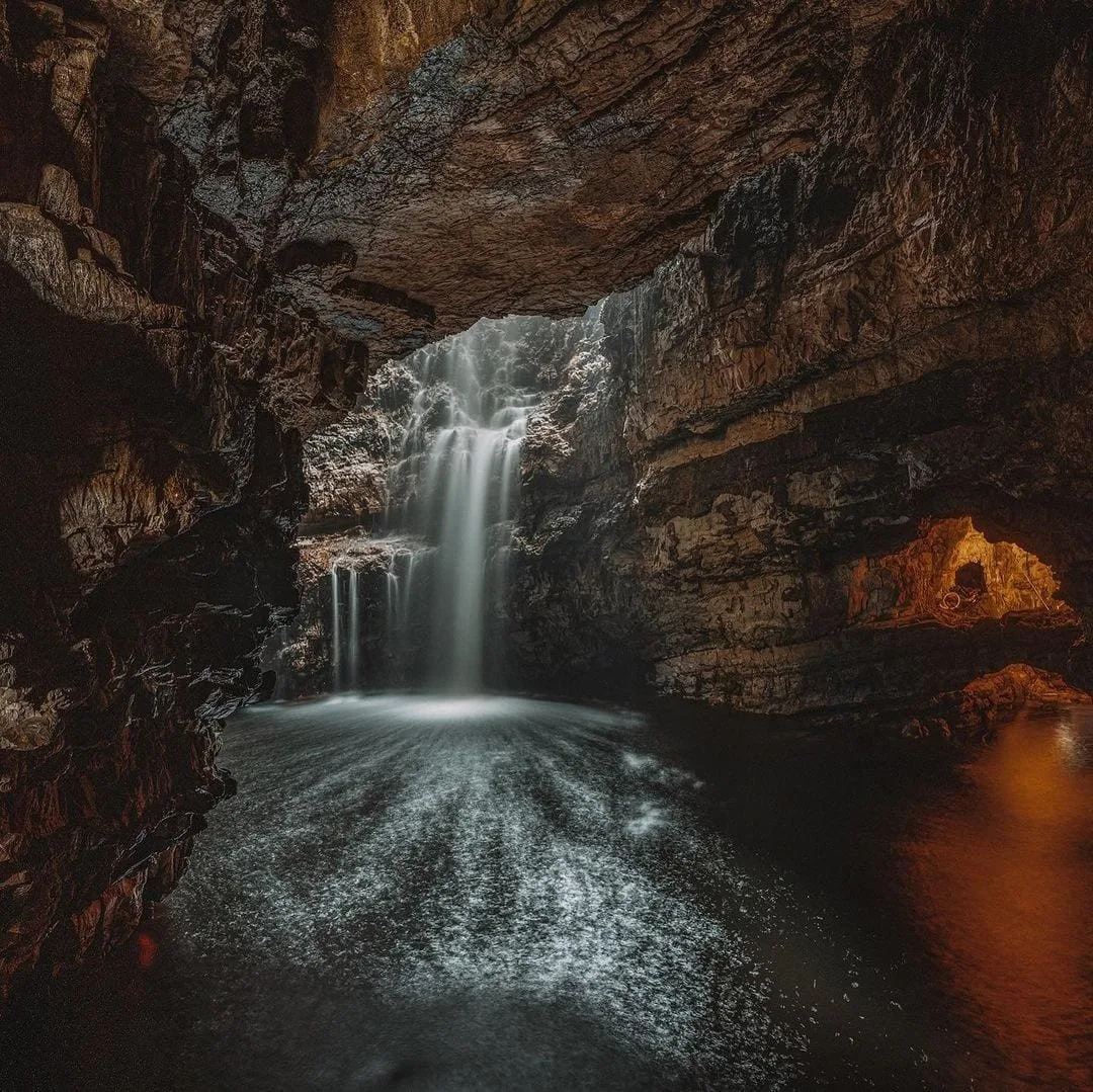
The road runs north past Scourie and Kinlochbervie into the emptiest country of all. A four-mile path crosses the moor to Sandwood Bay and its sea stack. At Durness there's Smoo Cave, the dunes of Balnakeil, a craft village and hot chocolate, and a little ferry over the Kyle of Durness on the way to Cape Wrath.
Tongue and the north coast
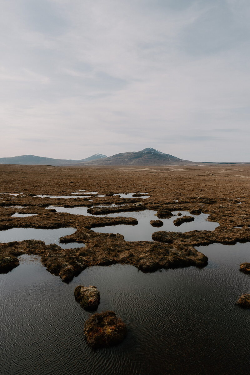
East of Loch Eriboll, the road crosses the Kyle of Tongue on a causeway, under Ben Loyal and the ruin of Castle Varrich. Bettyhill tells the story of the Strathnaver clearances in its old white church, golden beaches lie at Torrisdale, Farr and Melvich, and inland the Flow Country stretches away to Forsinard.
Dornoch and the east
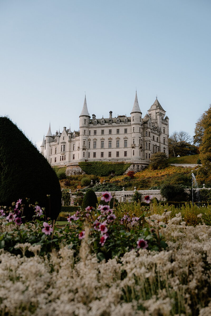
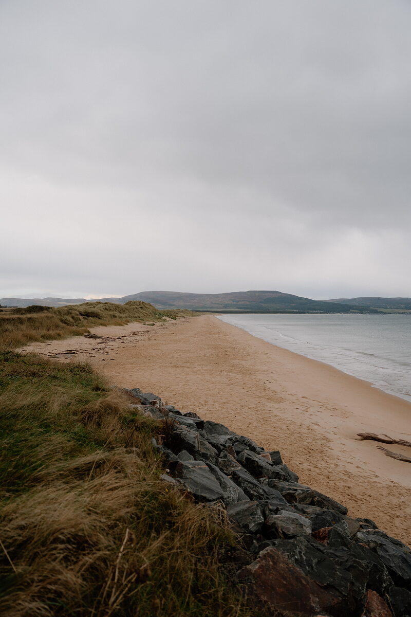
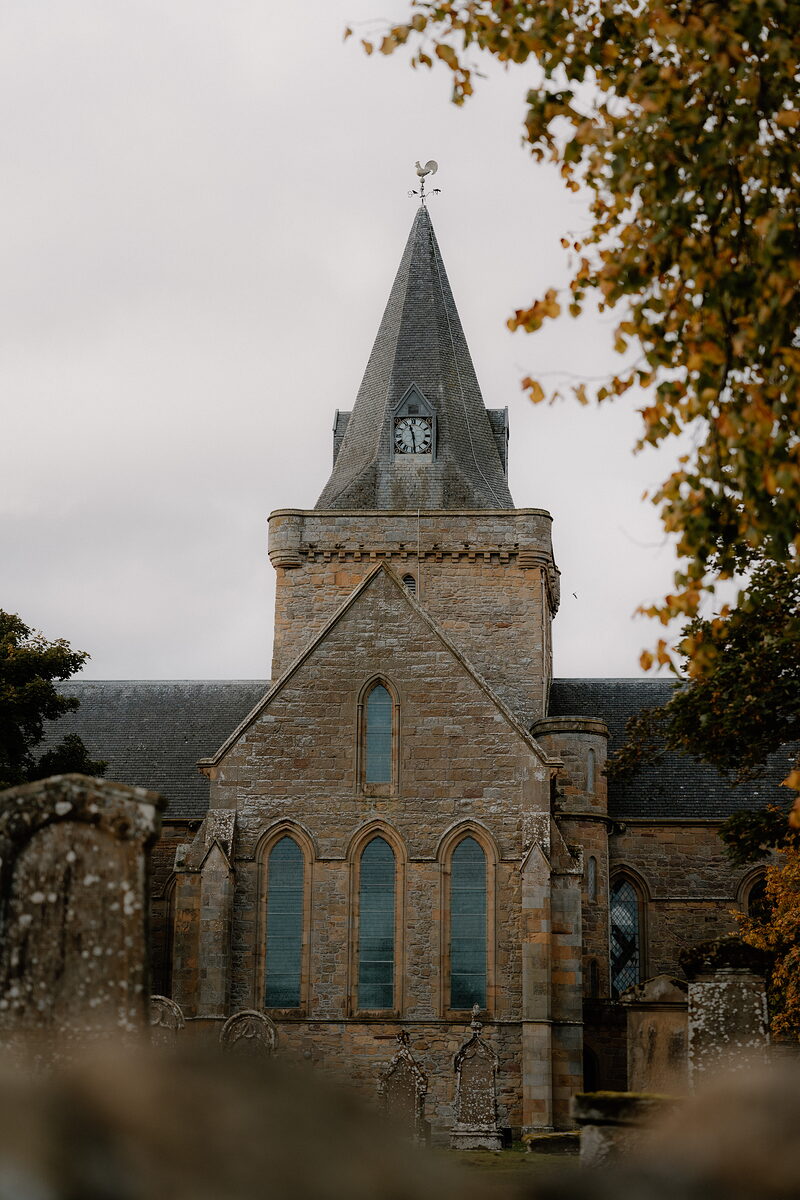
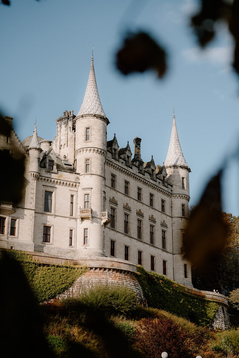
The east coast is gentler, with long beaches and dunes at Dornoch and Embo and seals on the sandbanks of Loch Fleet. Dornoch has its honey-coloured cathedral and famous links, Dunrobin Castle rises like a French chateau above the sea at Golspie, and inland Lairg sits at the foot of Loch Shin.
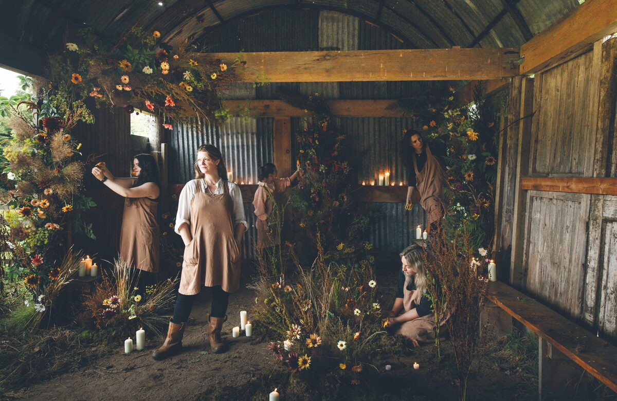
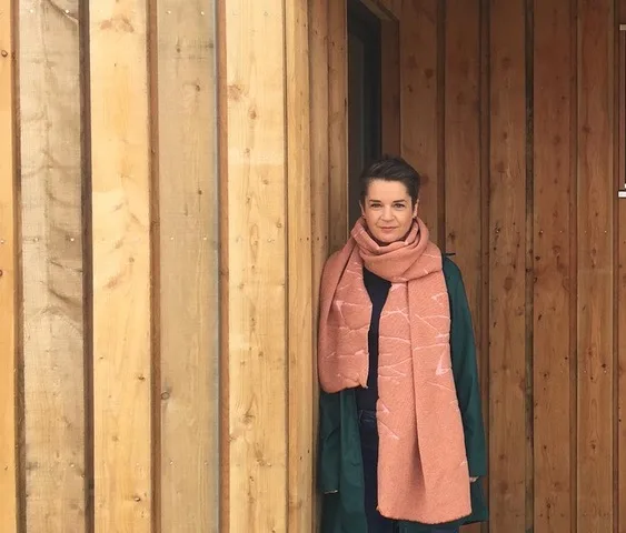
“When you think about being out in the wild, the predominant colours that come to mind are nature’s greens, blues and greys. However a closer observation discovers the jewels within heather, lichens, gorse and other vegetation, together with the variations of seaweed, pebbles and rusted metal.”
Catherine Sinclair
Textile designer, at her studio on the loch at Kylesku
Best known for.
Sutherland is known for its space. Its mountains stand alone, its beaches are often empty, and the peatlands of the Flow Country became a UNESCO World Heritage Site in 2024, the first anywhere chosen for its peatland. Geologists come to Knockan Crag, where the puzzle of the Moine Thrust was worked out. The county is remembered, too, for the Clearances, which emptied its straths in the early 1800s. Golfers know Royal Dornoch, where golf on the links was first written about in 1616, and most visitors meet the region on the North Coast 500.
More about Sutherland
The west is all rock and water. In Assynt, Suilven and Quinag rise from a country of lochans, the rocks underfoot are among the oldest in Europe, and beaches such as Achmelvich and Oldshoremore have white sand and clear green water. Further north, a long path crosses the moor to Sandwood Bay. Along the top of the country, the road from Durness to Tongue and Bettyhill runs round deep sea lochs and past wide sandy bays, with Ben Hope and Ben Loyal standing back from the shore. Inland lies the Flow Country, a great spread of bog and shining pools under enormous skies.
The east coast is gentler and greener. Dornoch is a small town of honey-coloured stone with a cathedral, a famous golf links and miles of sand. Just up the coast, Dunrobin Castle stands over its gardens at Golspie, all turrets and spires, and further north Helmsdale is an old herring port at the mouth of its strath. In the middle of it all, Lairg sits at the foot of Loch Shin, where the roads of the north meet. Distances look short on the map, but the roads are slow, and the stops along the way are a big part of the pleasure.
What would you like to look at?
 See and doCastles, a great cave and the Strathnaver story
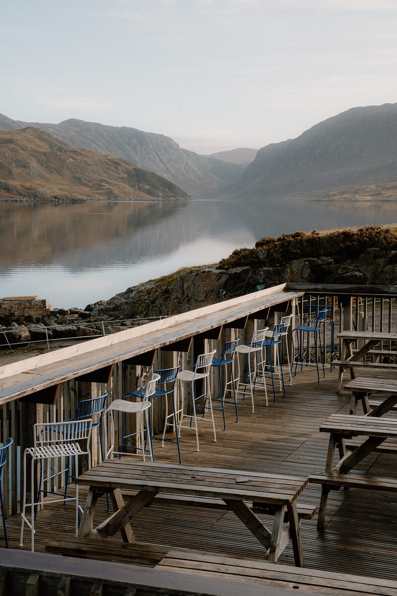 Eat, drink and shopSeafood by the loch and hot chocolate at Balnakeil
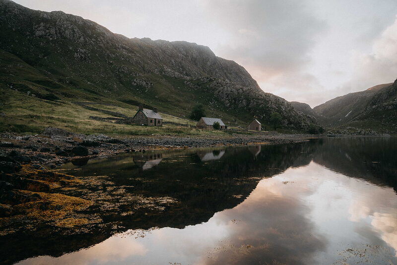 Where to stayStone cottages by the lochs and a hotel by the links
 History and storiesPicts, Norse earls, clan feuds and the Clearances
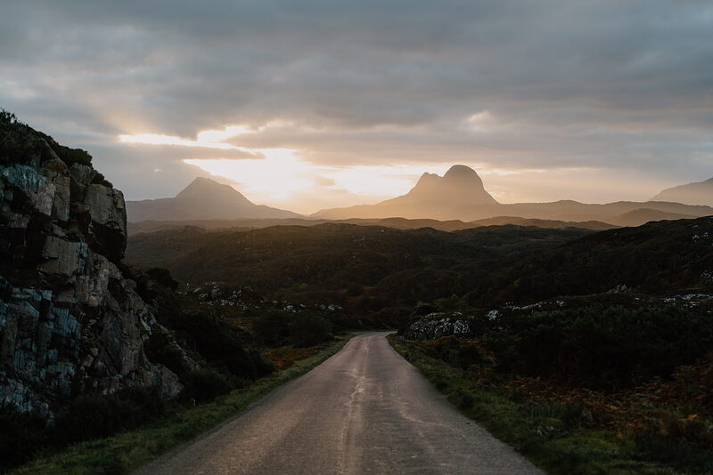 ItinerariesDays we have driven, stop by stop
 Getting hereThe Far North Line, the A9 and the roads west
 What is on in SutherlandSomething new from the region every day
What is on in Sutherland
Friday the 16th of October.
Sunrise 07:56, sunset 18:11.
Things you might not know.
Legend says the holes in the roof of Smoo Cave were made by the Devil and two witches, who shot up through the rock when a cockerel crowed at dawn.
From Smoo Cave and The Wizard of ReayIt's thought that at least half of the underwater tunnels of Smoo Cave have never been explored.
From Smoo Cave and The Wizard of Reay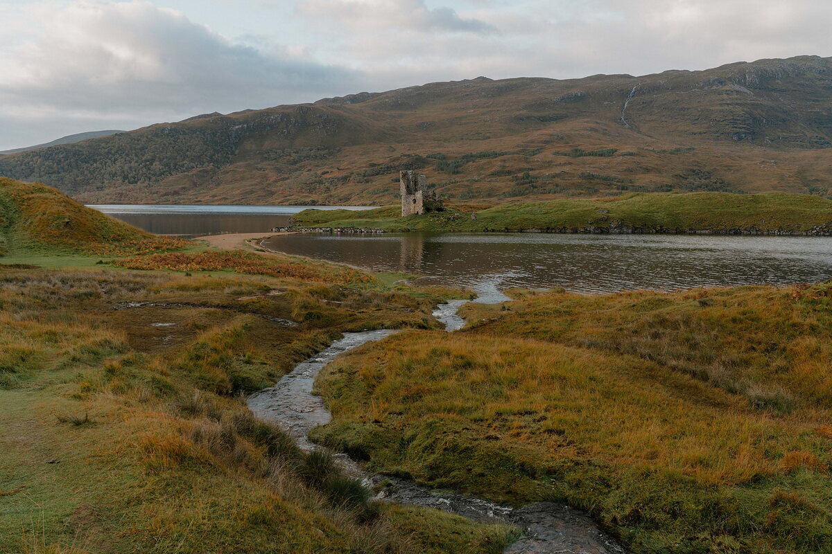
The story goes that the laird's daughter at Ardvreck threw herself into Loch Assynt and became a mermaid, and the loch still rises and falls with her crying.
From Exploring Scotland's Far NorthwestEas a' Chual Aluinn, at the head of Loch Glencoul near Kylesku, is the highest waterfall in the UK.
From Turning PointThe Cape Wrath Trail runs about 240 miles from Fort William to Cape Wrath, the most north-westerly point of mainland Britain, and takes more than two weeks on foot.
From Turning Point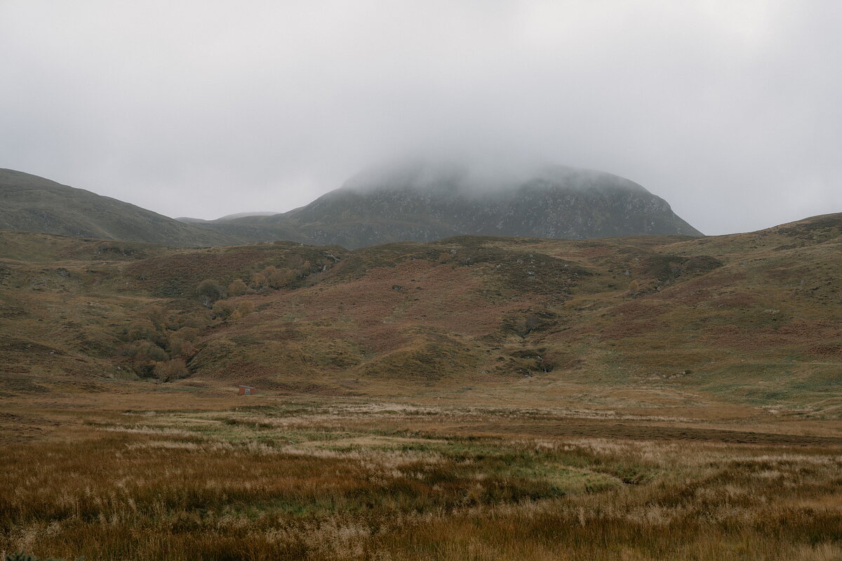
The bedrooms at Kinloch Lodge, the Duke of Sutherland's old hunting lodge under Ben Loyal, are all named after native plants and wildflowers, from myrtle to eyebright.
From Wild at Heart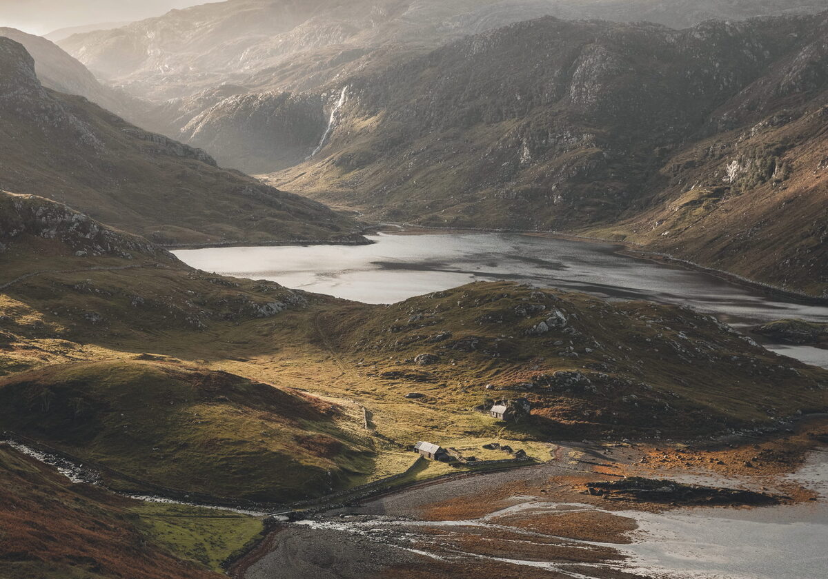
Photographs by David Cameron, Allison McKie, Norman Jones and Just Me via Google