

Getting to Sutherland and around.
The Far North Line, the A9 and the roads west
Road travel is essential in Sutherland. The A9 reaches as far as the Dornoch Firth, but beyond that, most journeys rely on winding single-track roads, especially in the west. The A836 and A838 make up the spine of the north and west coast routes, with passing places and scenic laybys but limited services.
Rail services are limited to the Far North Line, with stations in Lairg, Rogart, Golspie and Helmsdale. Trains run between Inverness and Thurso/Wick, but only a few times daily.
Buses operate between larger settlements, such as Lairg, Dornoch, and Tongue, but services are infrequent and not practical for in-depth exploration. The Northlink ferry from Scrabster (Caithness) to Orkney is nearby for those combining mainland and island travel.
Cycling is possible and increasingly popular, though it requires planning and confidence on narrow roads. Walkers will find everything from short clifftop trails to serious hill days, particularly in Assynt and the far northwest.
By train
The Far North Line runs from Inverness through Lairg, Golspie, Helmsdale and Forsinard on its way to Thurso and Wick.
Trains run only a few times a day, so plan your days around them.
By road
The A9 crosses the Dornoch Firth into the east of the county, and from Ullapool the A835 and A837 lead north into Assynt.
Beyond them, the A838 and A836 carry you round the west and north coasts, mostly on single-track roads with passing places.
Getting around
Buses link Lairg, Dornoch and Tongue but they are few and far between, so a car makes all the difference here.
Fill up with fuel whenever you can, and expect your phone signal to come and go.
Lochinver is the base for Assynt, and Durness for the far north-west. Tongue and Bettyhill suit the north coast, and Dornoch, with its cathedral and beaches, is the place for the east.
A week lets you take it slowly round the west and north coasts on single-track roads. With three or four days, pick one coast rather than trying to see it all.
Walk in from the car park at Blairmore, near Kinlochbervie, about four miles each way on a clear track across the moor. There's no road to the beach, which is why it stays so empty.
The weather comes straight off the Atlantic in the west and the north, so it changes fast and the wind can be strong. The east, round Dornoch, is drier and milder, and midges are out on still summer evenings.
On clear, dark nights from autumn to spring, the north coast is one of the best places on the mainland to see them, with almost no light from towns. Watch the aurora forecasts and head for a north-facing beach.
Yes. The beaches at Achmelvich, Durness and Dornoch are sandy and safe, Smoo Cave has a boat trip into its waterfall chamber in summer, and Cocoa Mountain near Durness makes hot chocolate people drive a long way for.
Photographs by David Cameron, Allison McKie, Norman Jones and Just Me via Google
More of Sutherland.
 See and doCastles, a great cave and the Strathnaver story
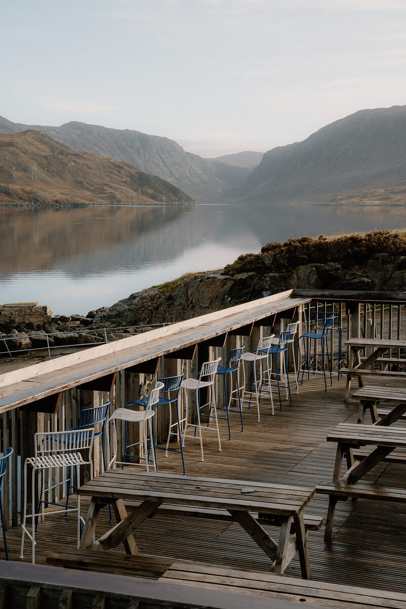 Eat, drink and shopSeafood by the loch and hot chocolate at Balnakeil
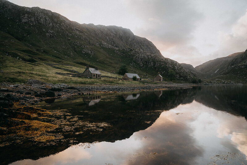 Where to stayStone cottages by the lochs and a hotel by the links
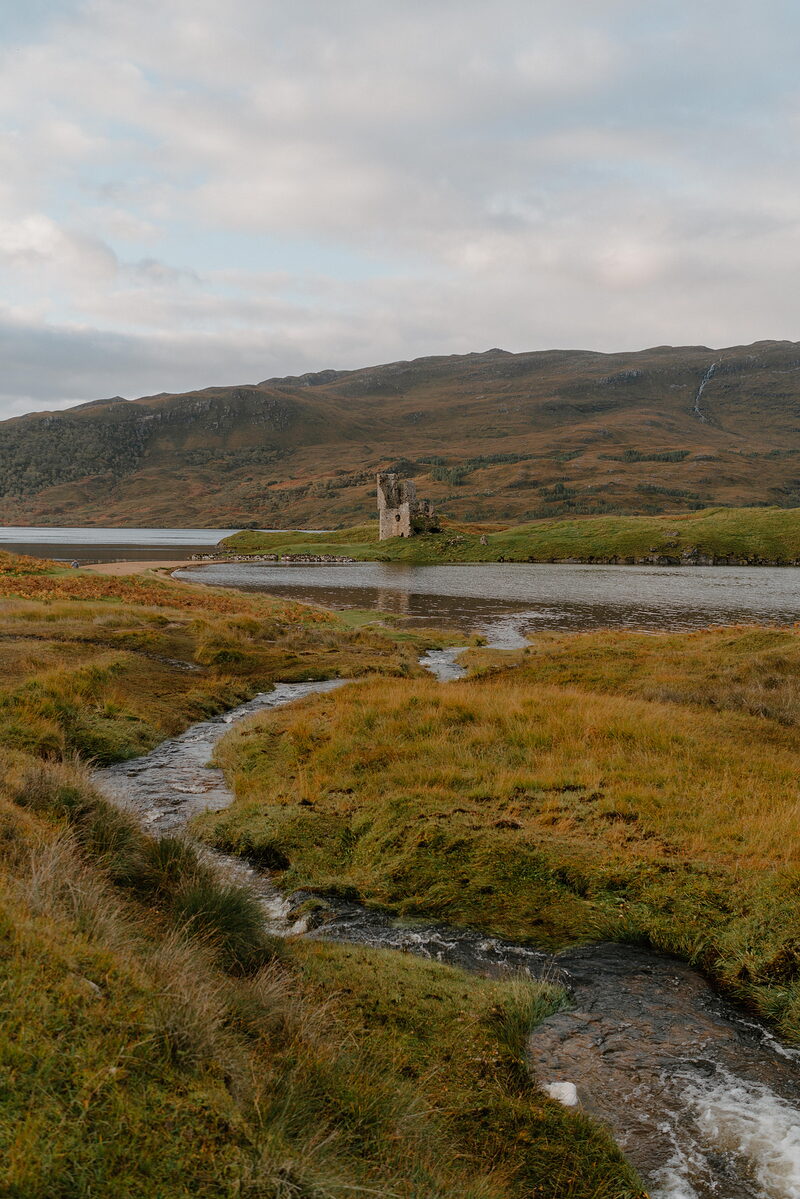 History and storiesPicts, Norse earls, clan feuds and the Clearances
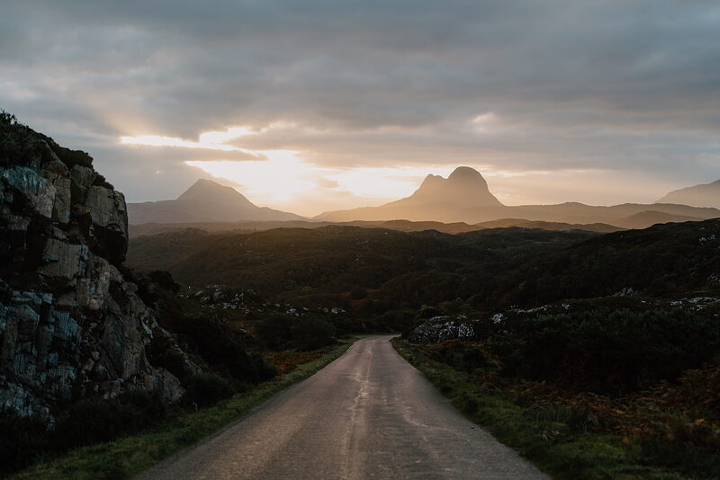 ItinerariesDays we have driven, stop by stop
 What is on in SutherlandSomething new from the region every day