
Lochaber. Lochaber guide
Ben Nevis, Glen Coe, the Road to the Isles and the boats to Eigg, Rum, Canna and Muck.
The four parts of Lochaber
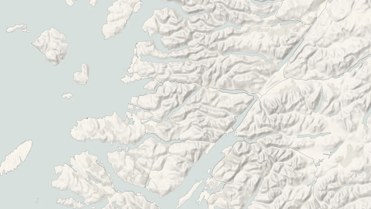
Lochaber takes in a huge sweep of the west. It runs from the moor at the head of Glencoe to the sea lochs of Moidart and Knoydart, and from the Great Glen out to the lighthouse at the tip of Ardnamurchan. Ben Nevis stands over all of it, the highest mountain in Britain, with Fort William at its foot on the shore of Loch Linnhe. If you like your scenery on the grand scale, with mountains coming straight down to the water and roads winding for miles between them, you're in the right place. Out to the west, beyond Mallaig, the Small Isles of Eigg, Rum, Canna and Muck sit on the horizon, and they belong to this coast too.
Fort William and Glen Coe
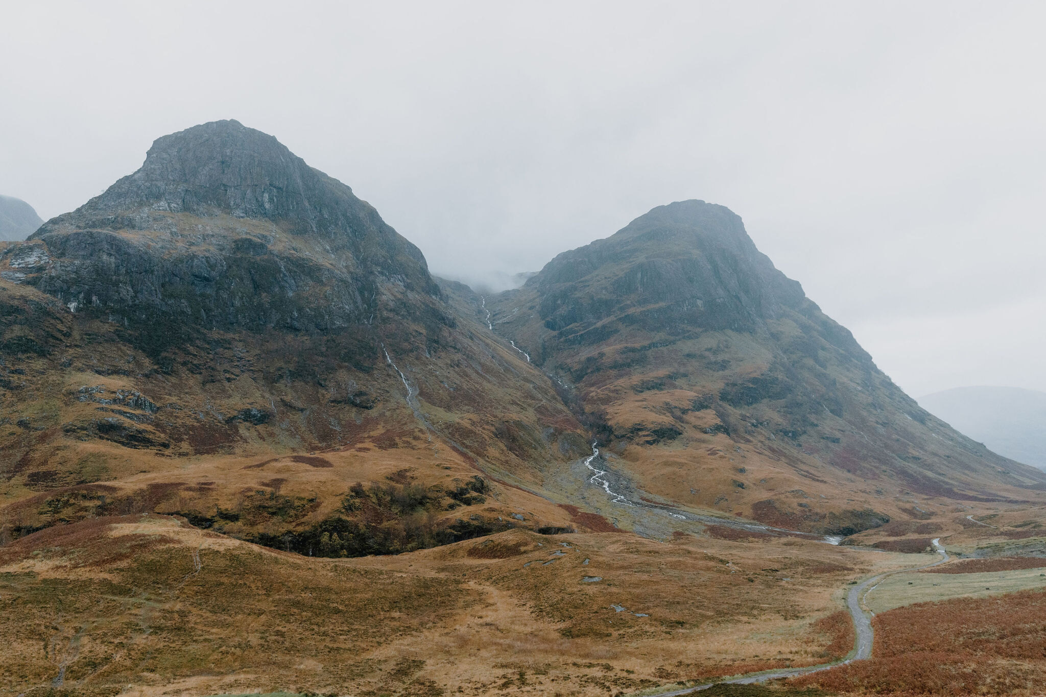
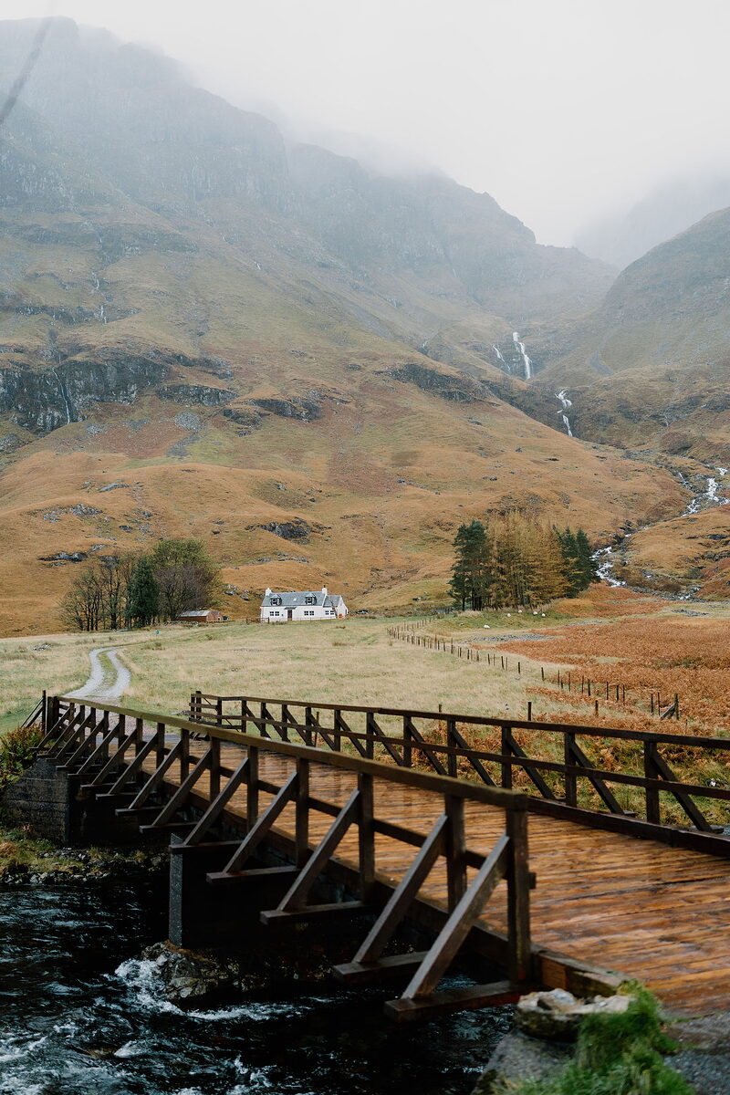
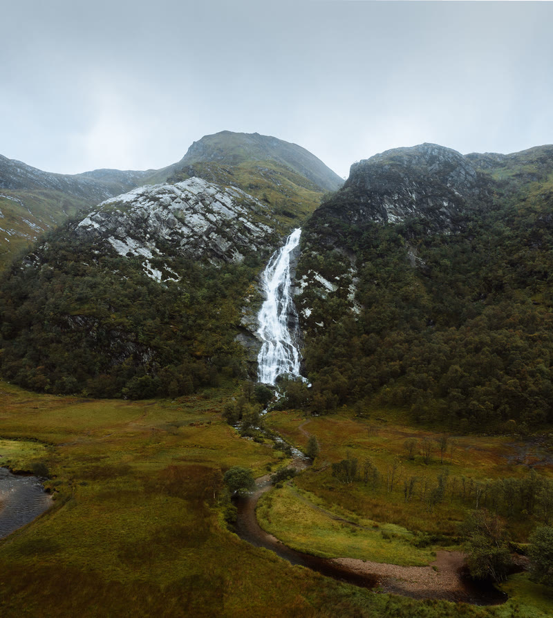
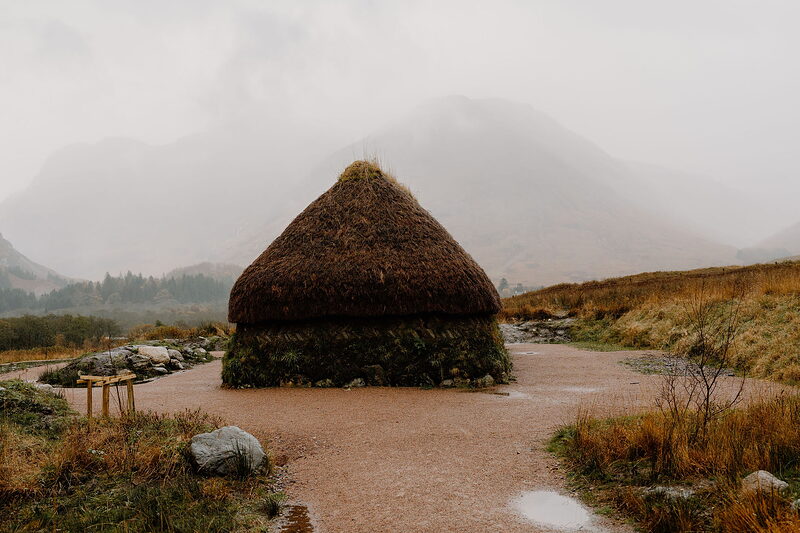
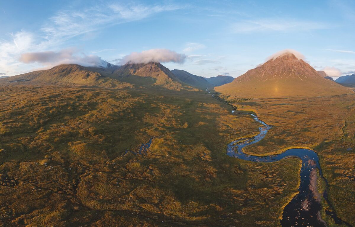
Fort William sits at the head of Loch Linnhe under Ben Nevis, with Steall Falls up Glen Nevis and the gondola climbing Aonach Mòr. To the south, the road through Glen Coe passes the Three Sisters and the Lost Valley, the Pap of Glencoe stands over the village, and the West Highland Way climbs over to Kinlochleven.
Mallaig and the west
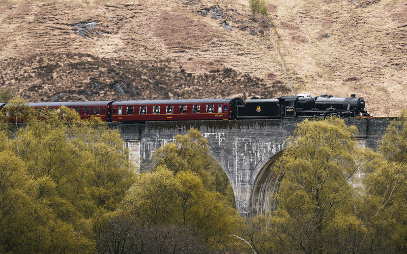
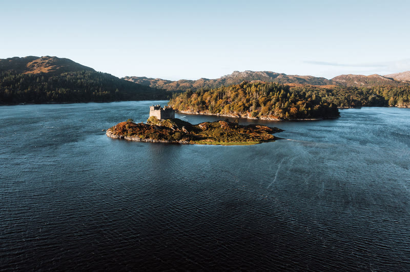
The Road to the Isles runs past Glenfinnan and its viaduct to the white sands of Arisaig and Morar and the fishing port at Mallaig, where a boat crosses to Knoydart. South of it lie Moidart, with Castle Tioram on its tidal island, and the long, quiet Ardnamurchan road out to Sanna Bay and the lighthouse.
Eigg and Muck
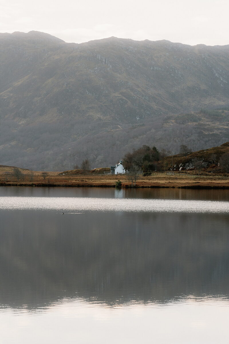
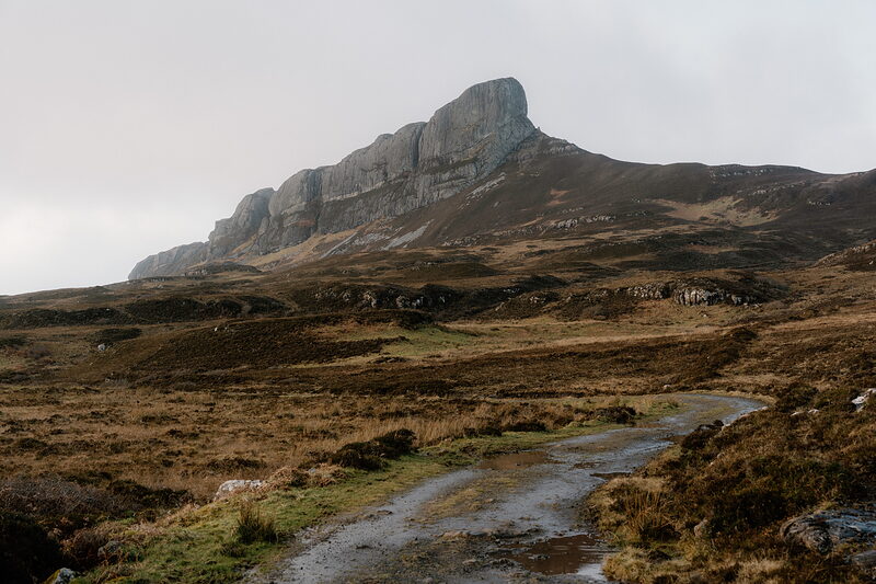
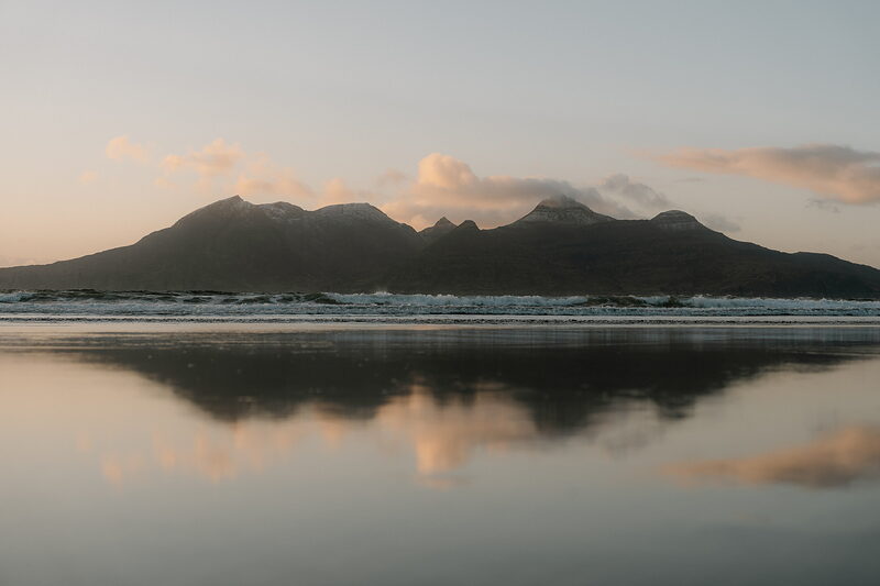
Eigg is a community-owned island of crofts, sandy bays and the great pitchstone ridge of An Sgùrr, with bikes to hire at the pier and a cooperative brewery. Muck, the smallest of the four Small Isles, is a farming island of white-sand bays and seals, with views across the water to Rum and Eigg.
Canna and Rum
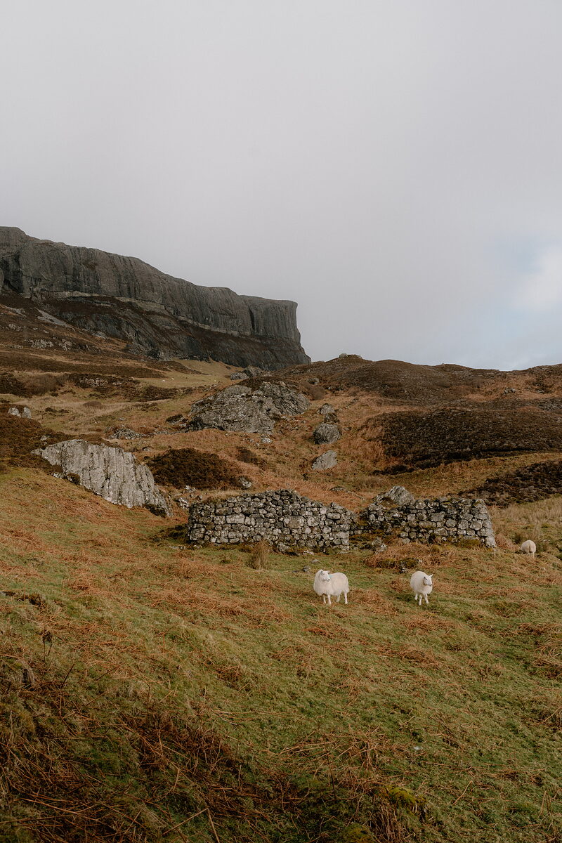
Canna is a small island of basalt cliffs, sandy bays and a sheltered harbour, where Café Canna cooks almost entirely from the island and its waters. A bridge crosses to Sanday and its lighthouse, and next door is Rum, the largest of the Small Isles, a mountain island of red deer and wild coast.
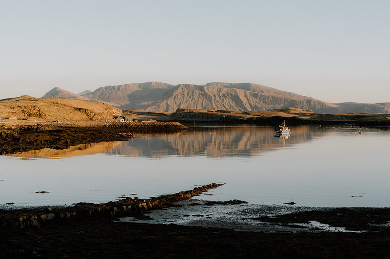
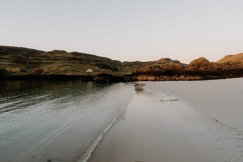
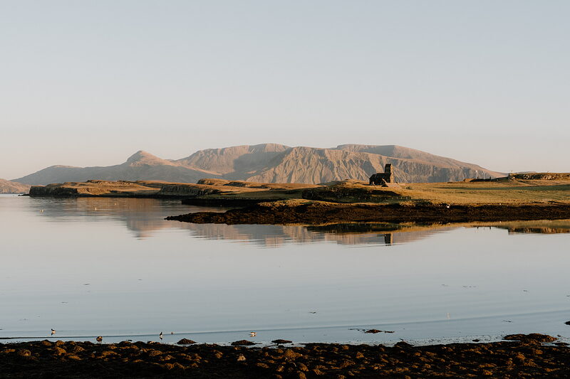
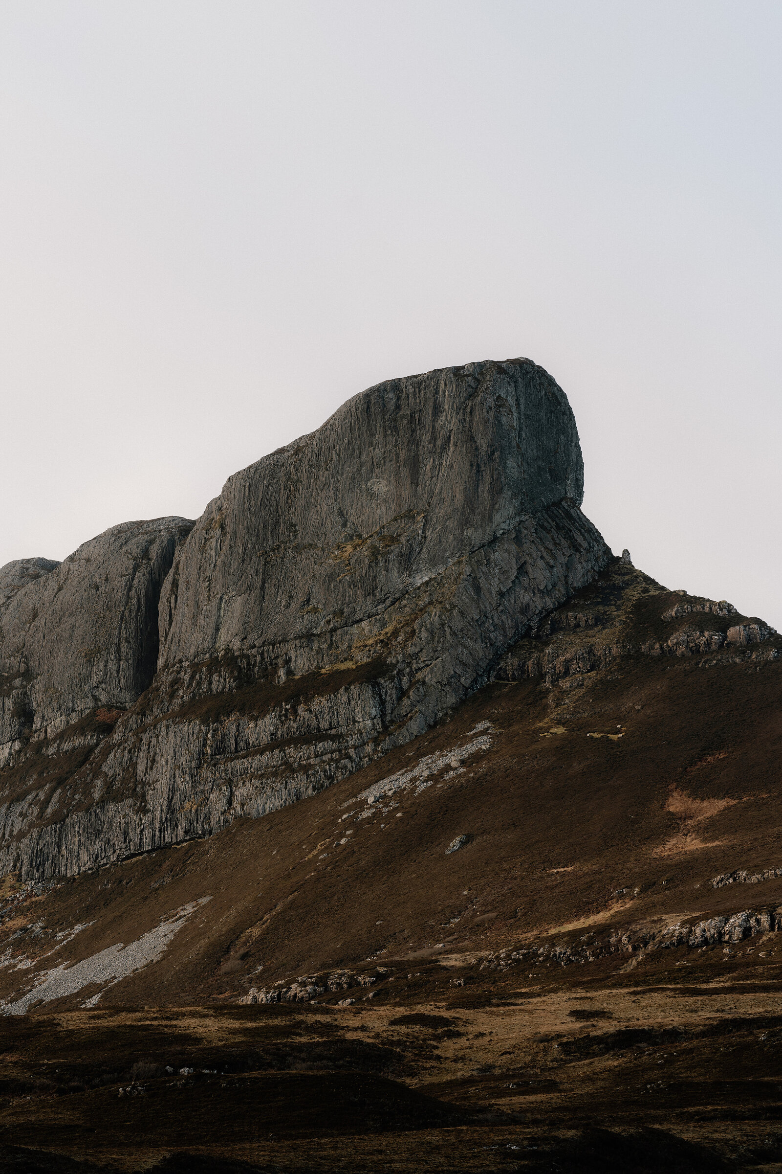
“The Small Isles don’t draw the same attention as some of the larger islands off the west coast, but that doesn’t make them any less memorable.”
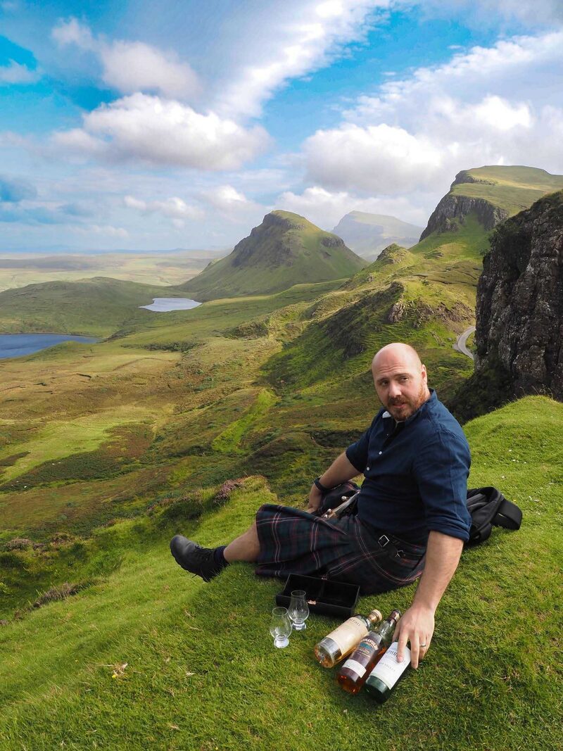
Graeme Johncock
Tour guide and writer, on a spring trip round the Small Isles
Best known for.
Lochaber is known first for its mountains. Ben Nevis rises to 1,345 metres above Fort William, and Glencoe is famous both for its great walls of rock and for the massacre of 1692. Walkers know the region as the end of the West Highland Way and the start of the Great Glen Way. Film fans know it from the Glenfinnan Viaduct, Glen Etive and the beaches at Morar. History lovers come for the Jacobites, who raised their standard at Glenfinnan in 1745. Then there's the coast, with its sandy bays, fresh seafood and ferries to the islands.
More about Lochaber
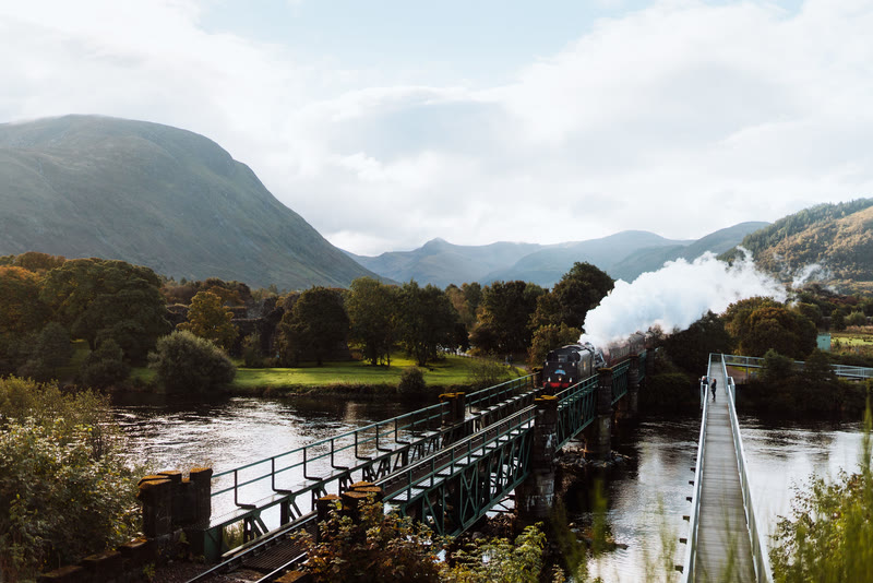
Most people arrive along one of two great roads. The A82 crosses Rannoch Moor and drops through Glencoe, past the Buachaille and the Three Sisters, before following the shore of Loch Linnhe to Fort William. From there the Road to the Isles heads west by Glenfinnan, Loch Eilt and Arisaig to the harbour at Mallaig, with the railway running beside it all the way. Every summer the Jacobite steam train makes the same journey, crossing the curving viaduct at Glenfinnan with a plume of smoke behind it. Further south, the single-track roads of Sunart, Morvern and Ardnamurchan are slower and quieter, and that is a large part of their charm.
This is a place to be outdoors. Fort William has long been the base for walkers, climbers, mountain bikers and kayakers, and the hills around it are busy with them in every season. Yet you don't need to climb a Munro to love it here. There are white beaches at Morar and Sanna, a castle on a tidal island, seafood straight off the boats at Mallaig and a pub on Knoydart that you can only reach by boat or on foot. Add the story of Bonnie Prince Charlie, which begins and ends on these shores, and a week here goes very quickly.
What would you like to look at?
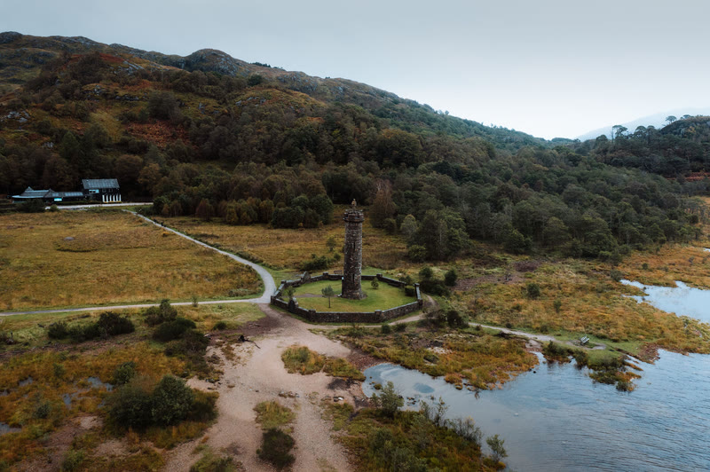 See and doGlenfinnan, island churches and castles
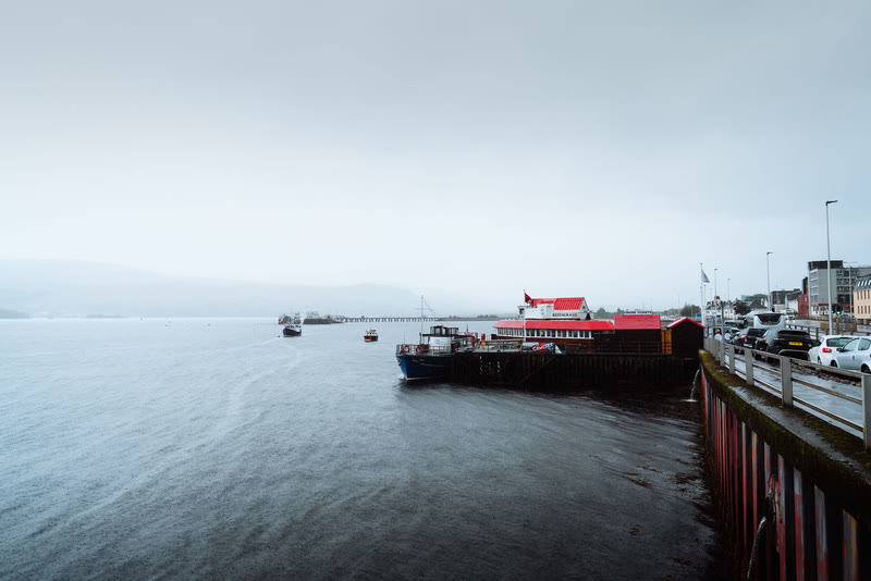 Eat, drink and shopSeafood by the harbour and island kitchens
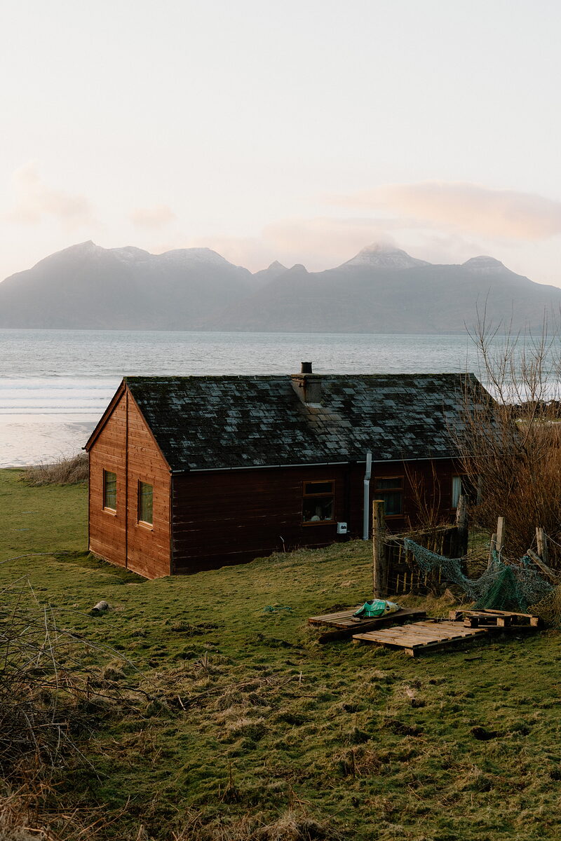 Where to stayCabins, cottages and a lodge by the loch
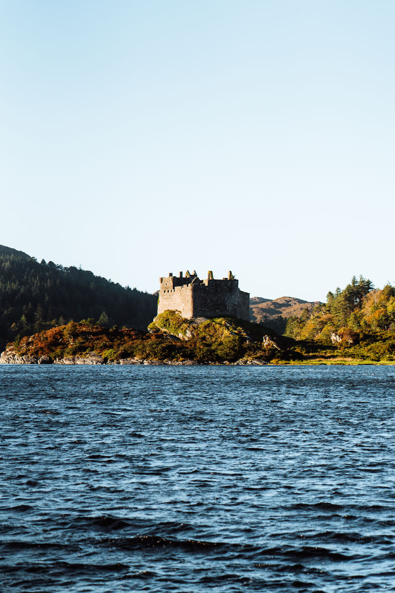 History and storiesClan feuds, Glencoe and the last Jacobite rising
 ItinerariesDays we have driven, stop by stop
 Getting hereThe trains, the roads and the ferries
 What is on in LochaberSomething new from the region every day
What is on in Lochaber
Friday the 16th of October.
Sunrise 07:57, sunset 18:18.
Things you might not know.
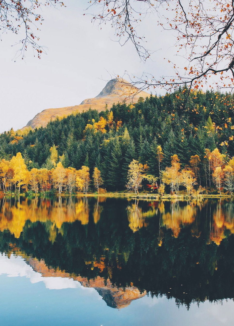
The woods around Glencoe Lochan were planted by Lord Strathcona in the 1890s with trees shipped from British Columbia, in the hope of curing his wife's longing for Canada.
From Glencoe Lochan, A Canadian Love Letter
Glen Nevis is said to be a haunt of the Cailleach, the blue-skinned goddess who carved Scotland's mountains with her hammer and watches over the deer.
From The Cailleach and the Hunter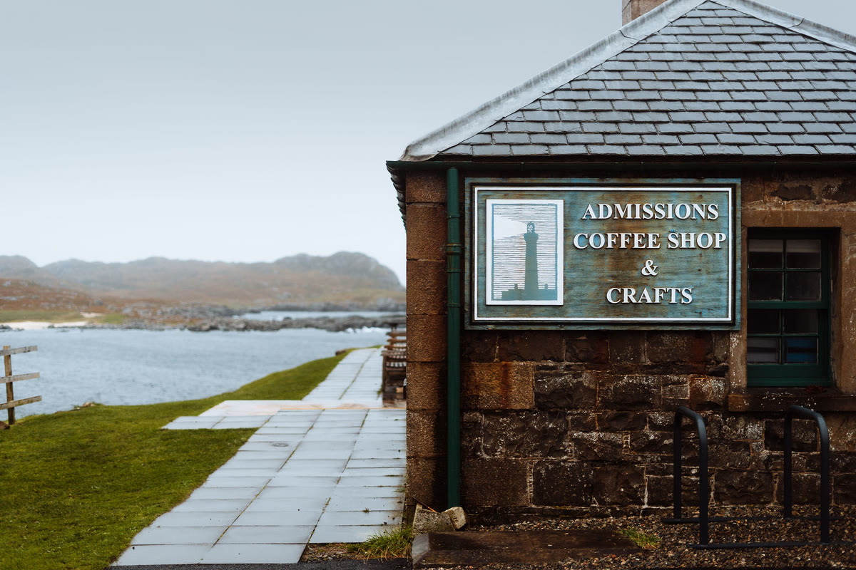
The climb to the top of Ardnamurchan Lighthouse, out at the western end of the Scottish mainland, is 152 steps and two ladders.
From Harris, Lewis and the Long Road to Ardnamurchan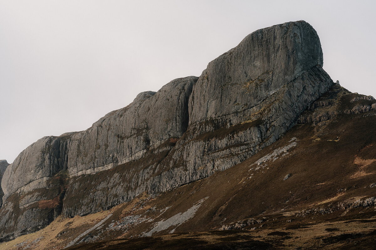
An Sgùrr, the pitchstone ridge that is the highest point on Eigg, is the result of a volcanic eruption around 60 million years ago.
From Documenting the Small IslesThe MacEwen family bought the Isle of Muck's 1,400 fertile acres in 1896, and its late laird, Lawrence MacEwen, was the subject of the documentary film The Prince of Muck.
From Documenting the Small Isles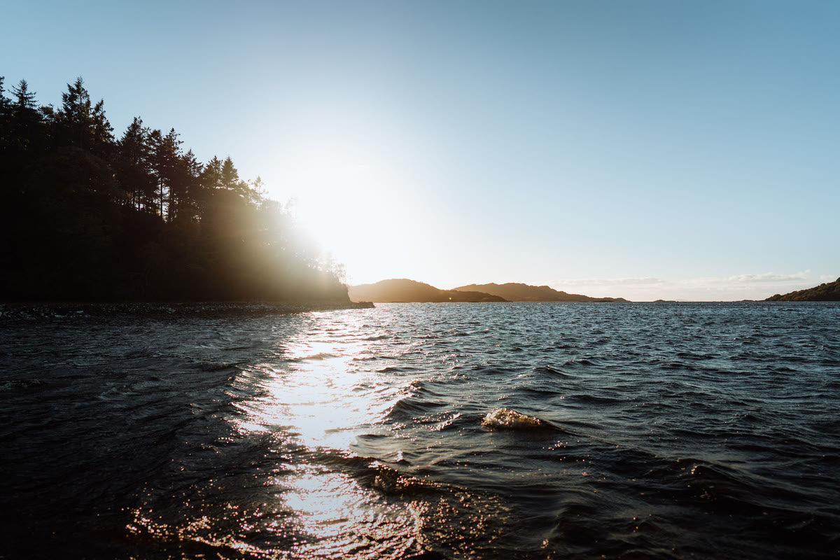
JM Barrie spent the summer of 1920 on Eilean Shona, the car-free island in Loch Moidart, and wrote to a friend that it was a wild, rocky, romantic island.
From Neverland Found, Eilean Shona Island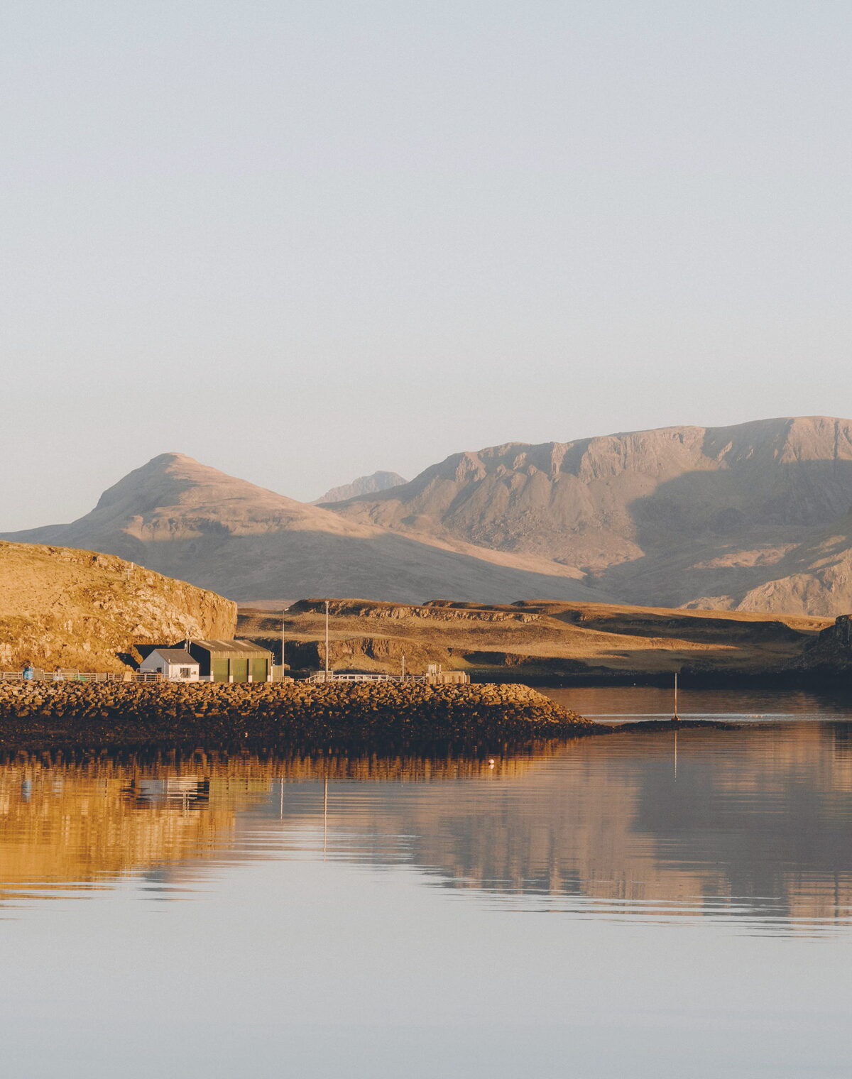
Photographs by ncnean; Leah Chappell via Google