
Isle of Skye
Waternish Point
Key Information
Distance 13.5km Ascent 415m Time 4 hours
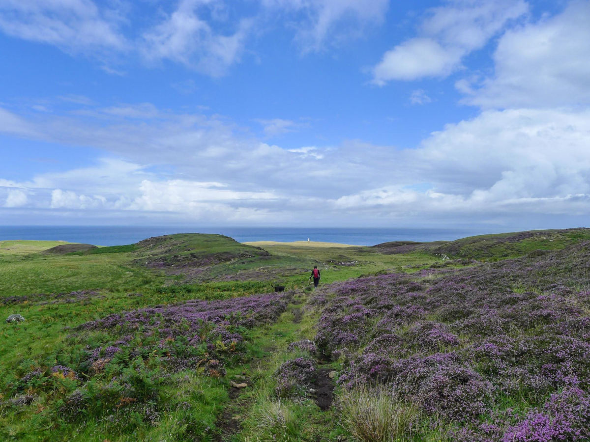
Terrain Much of the outward route follows a farm track, which can be very boggy in places. The final section to Waternish Point crosses largely pathless, grassy and heathery ground. The return along the grassy clifftops is generally firm and dry.
Map OS Explorer 407 Access No public transport. Parking opposite burial ground at Trumpan Church
The Walk
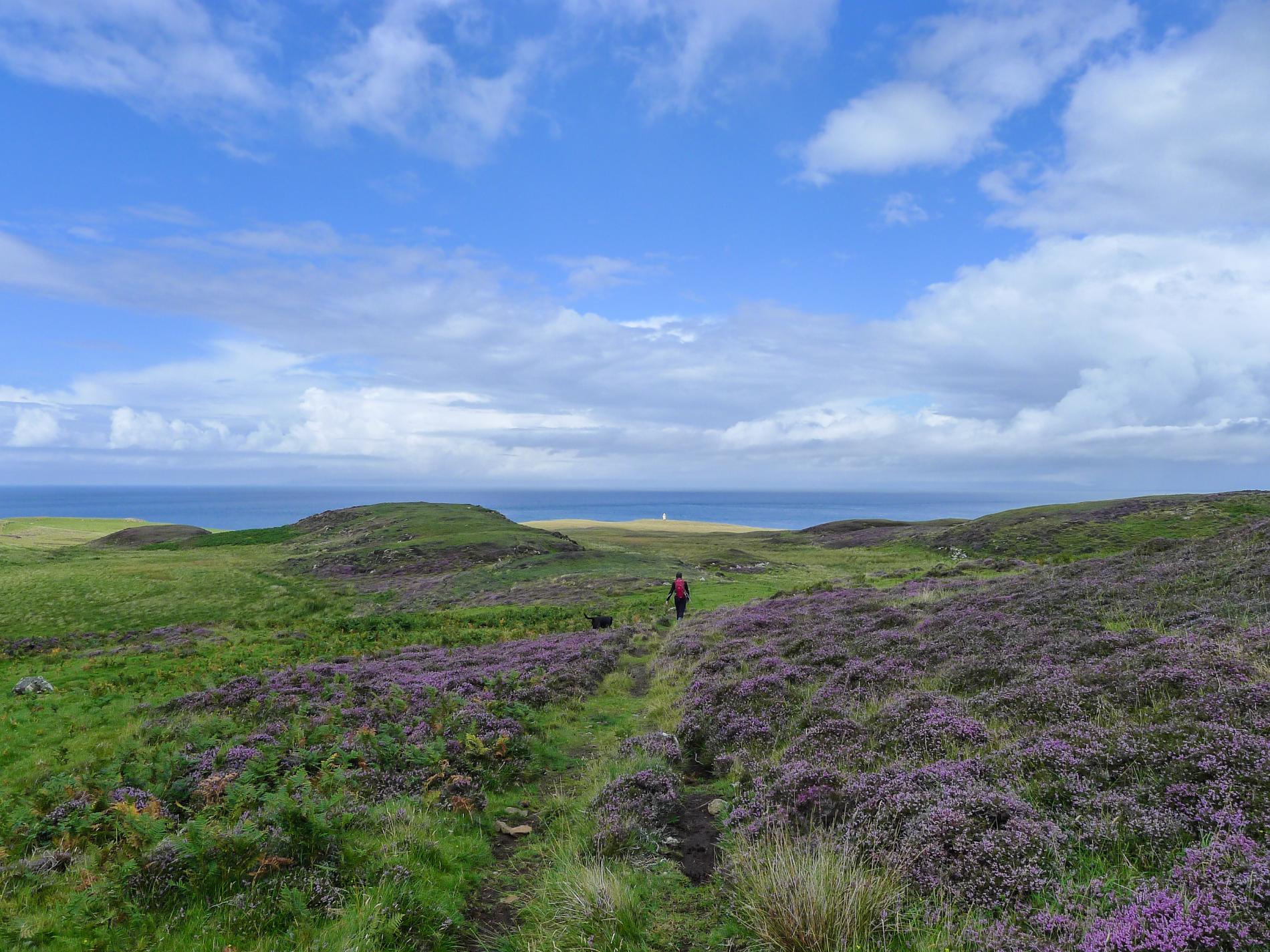
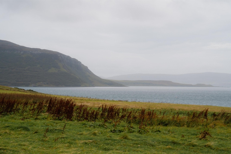
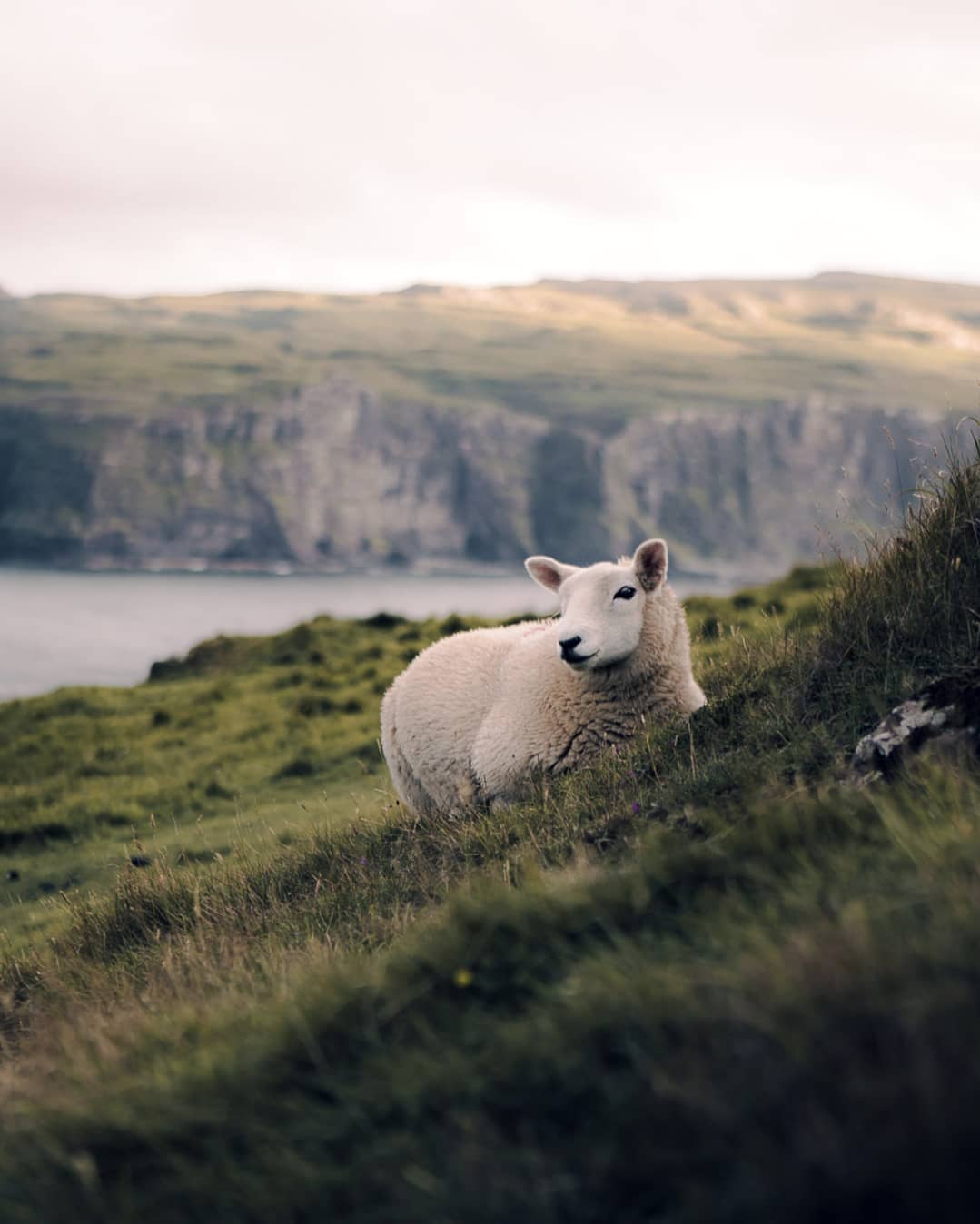
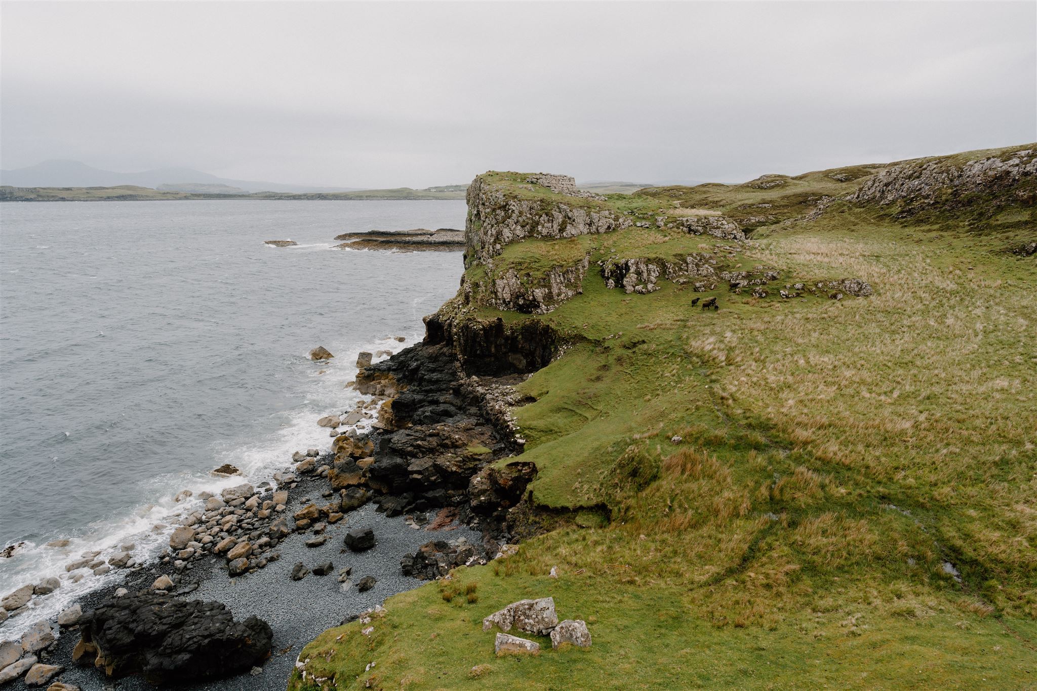
On fine days the unpopulated northernmost part of the Waternish peninsula has a tangible air of tranquillity. The lack of roads combined with expansive seascapes and big skies make for a peaceful atmosphere, belied by its often brutal history. This half-day walk passes the sites of battles, a massacre and a township abandoned during the Clearances. A pair of ruined Iron Age brochs add to the palpable presence of history on the peninsula. In late summer and early autumn a dense purple carpet of flowering heather sets the headland aglow. Waternish Point is a great spot for cetacean watching with whales and dolphins frequently spotted in the waters of the Little Minch. This route, which largely follows a farm track and grassy clifftop paths is generally easy going, though the track and the moorland between Bail 'an Tailleir and the lighthouse can be boggy in places after wet weather. Plenty of sheep and cattle are grazed here so keep dogs leashed.
The walk starts opposite the forlorn ruin of Trumpan Church, which serves as a monument to one of the bloodiest episodes in Skye's history. Trumpan was once a thriving medieval township and it's simple rectangular church, founded in the 1300s, was its focal point until the first Sunday in May 1578. While the local MacLeods gathered in the church, the MacDonalds of Uist moored their boats in nearby Ardmore Bay. The previous year 395 MacDonalds were massacred in a cave on the Isle of Eigg by MacLeods. Taking their revenge, the MacDonalds barricaded the doors of the packed church and set the roof thatch ablaze. All within perished, save for a young girl who escaped through a window. She fled to Dunvegan and raised the alarm, whereafter an army of MacLeods set forth for Trumpan and massacred the MacDonalds in turn. The MacDonald corpses were lined up behind a drystane dyke, which was then toppled over on them hence the battle became known as The Spoiling of the Dyke.
The Route
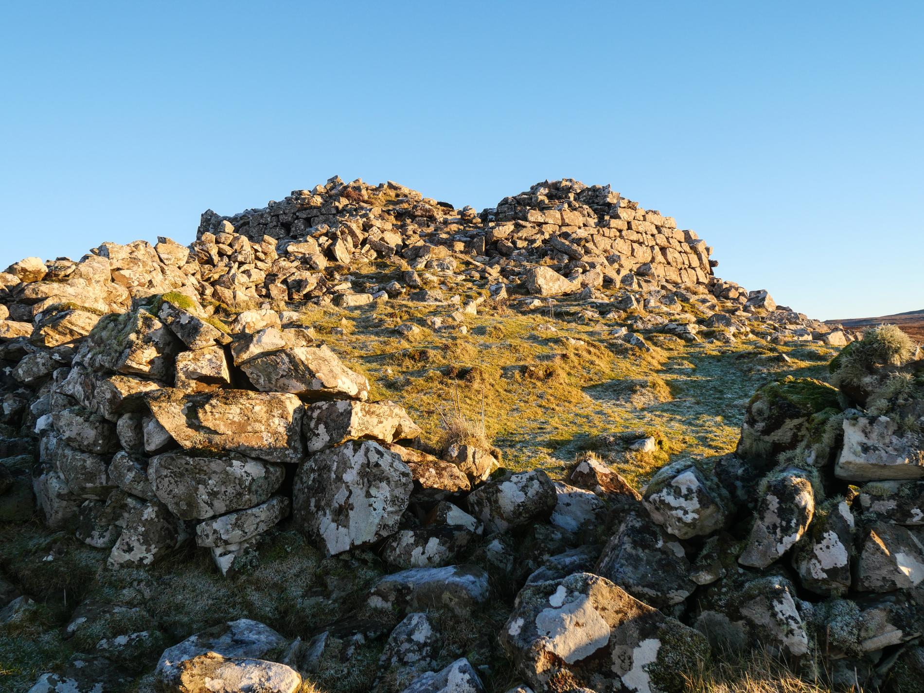
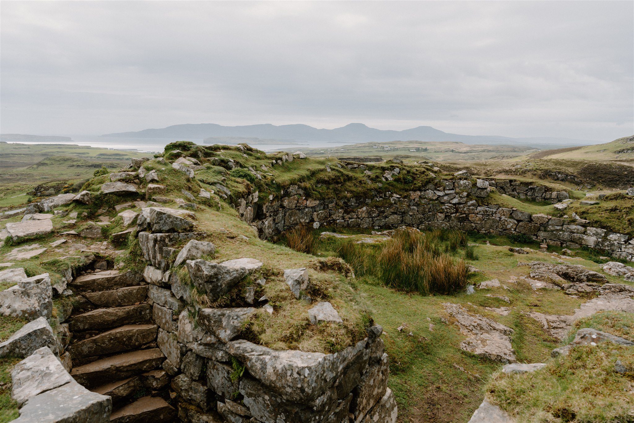
1. From the parking area opposite the church head north-east along the road, passing several houses before reaching a sharp right-hand bend after 500 metres. Turn left here through a gate along the farm track. The track is initially well-drained, but can be boggy in places further out into the heather-cloaked moorland. Go through an old metal gate and after a kilometre and a half, a cairn is reached to the left of the track. A plaque commemorates the death of Roderick MacLeod, killed during the second Battle of Waternish in 1530. A short distance further along the track, a large stone ruin is visible up on the moor to the right. It is worth making a detour to visit Dùn Borrafiach, an iron-age broch with its great stone walls still standing to over three metres
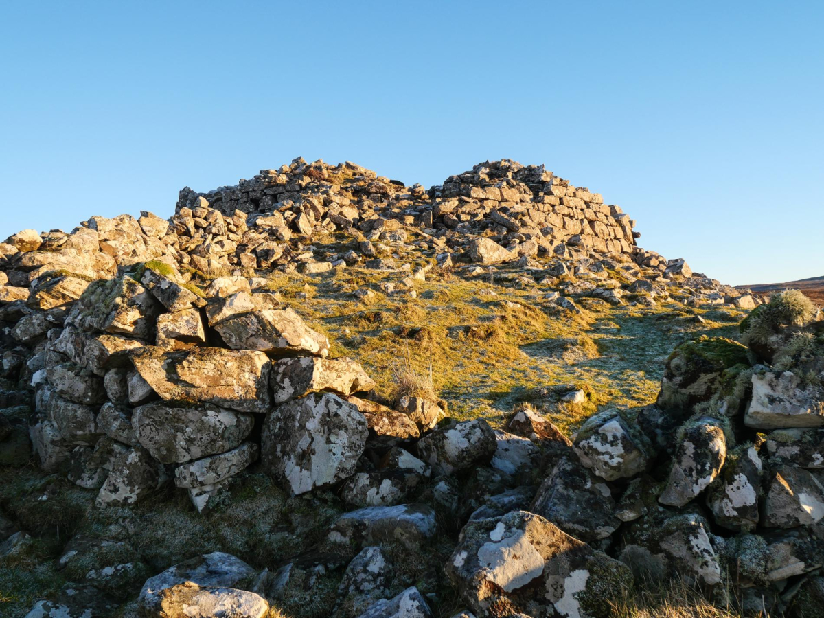
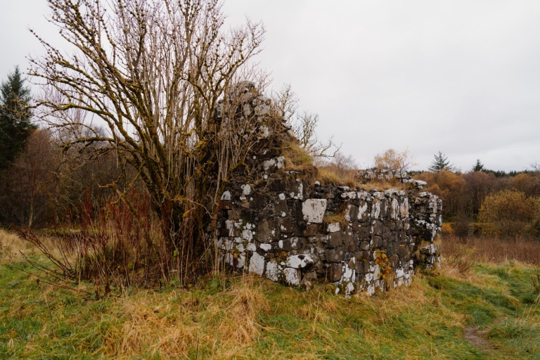
2. Return to the track and continue northwards for another kilometre or so before passing the ruin of another broch up on a grassy mound on the right. It is considerably more dilapidated than Dùn Borrafiach with only the first course or two of the walls surviving. As is often the case with the strategic positioning of brochs, Dùn Gearymore provides a wonderful viewpoint, particularly across the Little Minch towards the Outer Isles. Return once again to the track and continue northwards.
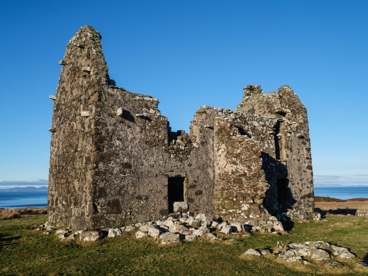
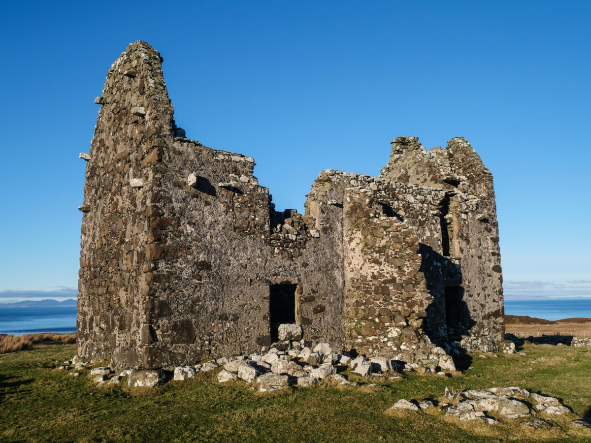
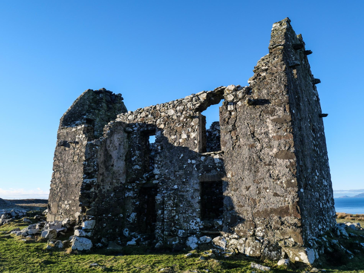
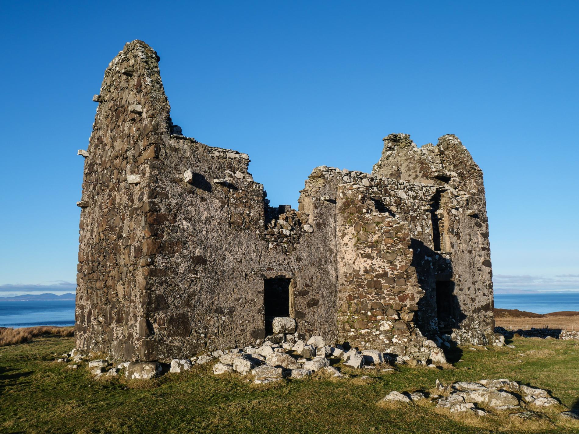
3. The track soon swings north-eastwards as it continues across the moorland. Pass some ruined black houses and continue through a gap in a dry stone wall – which is often very boggy – to grazing pasture with ruins of an abandoned settlement. Continue following a grassy path diagonally right across the pasture, crossing a drainage channel, to the gaunt ruin of Unish House.
Once the most significant house in Waternish, it was originally built around 1605 before being renovated in the early 18th century. It was likely built by one of the so-called Fife Adventurers, lowland noblemen who were encouraged by King James VI to colonise parts of north-west Scotland. Built without defences or battlements, Unish was said to have been the earliest domestic residence in Skye. The sizeable township that grew up around the big house; Bail 'an Tailleir or Tailor's Town included some 47 buildings, although the settlement was relatively short-lived as the area was subjected to the 19th century Clearances visited on much of the Highlands and Islands. The house was abandoned and fell in to disrepair in the late 19th century; it is now in a very poor state so care should be taken around the building.
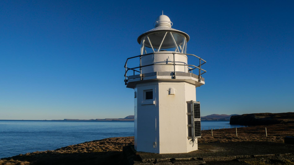
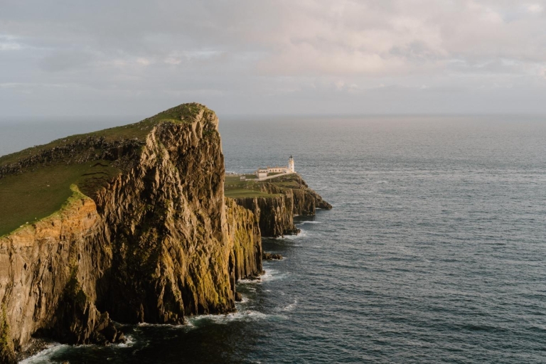
4. From the ruins of Unish House continue north-westwards across the pasture, go through a stock gate on the right then soon cross a gap in an old drystane dyke. Now follow paths through the heather-cloaked moorland, which is a riot of purple in late summer and early autumn – although the ground can be boggy in places. Continue all the way to the white-painted automated lighthouse. Waternish Point is a place of expansive island-dotted seascapes. This is also an excellent site for cetacean-spotting. Minke whales, dolphins and porpoises are frequently seen here, while orca have also occasionally been spotted. There are also sea birds aplenty to be seen including gannets with their impressive dive-bombing displays.
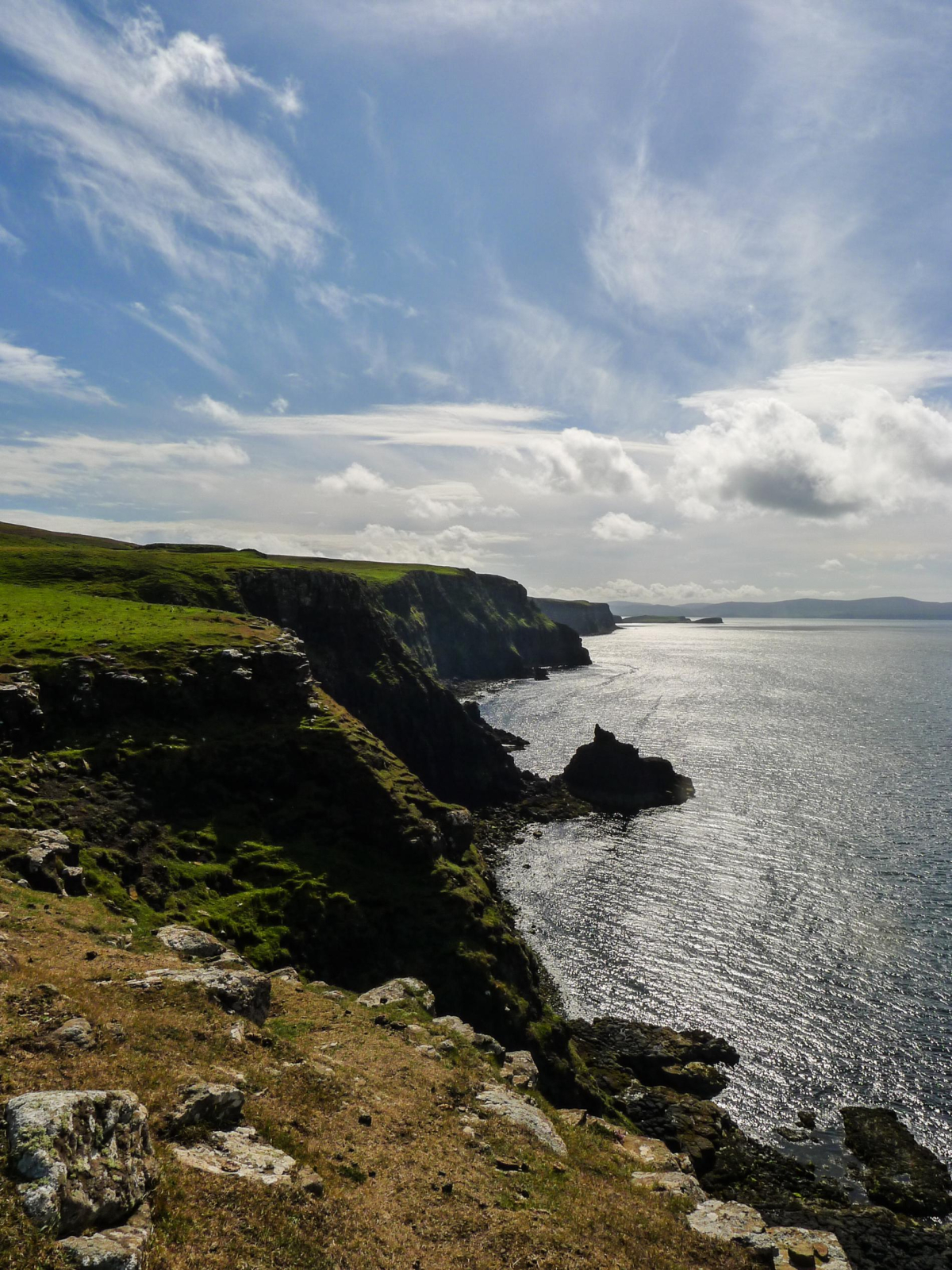
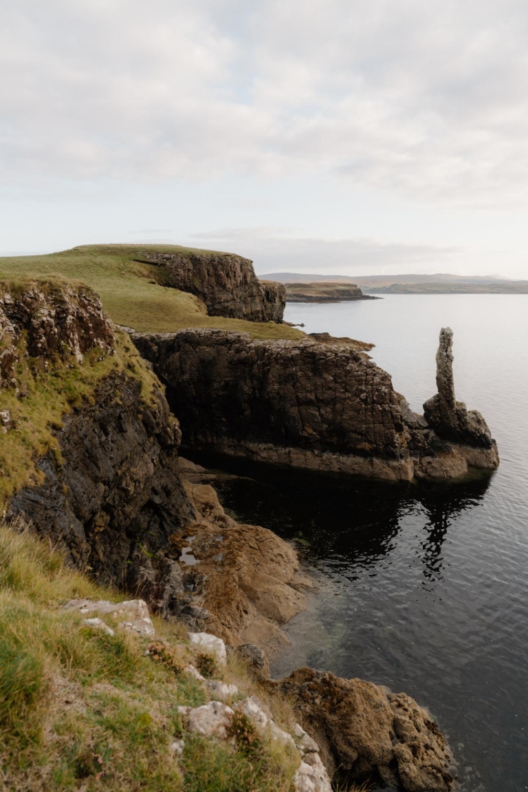
5. For the return leg of the walk it is worth staying along the clifftops on the western side of the peninsula for the springy turf underfoot and the superb views south along the coast to Dunvegan Head and west across the Little Minch to Uist. Continue southwards, soon passing through a gate in a stock fence. Follow the paths along the clifftops with care, crossing occasional burns, for around 4km until a deeper gully bearing the Borrafiach Burn is reached, a natural barrier diverting you across the moor towards the memorial cairn passed on the outward route.
6. On regaining the track, retrace your outward route back to the start.
Location
What's nearby

-medium-large-1776345505.jpg)
-medium-large-1736459220.jpg)

-medium-large-1736370118.jpg)
Where to stay nearby






 Sign in with Google
 Sign in with Email