
Isle of Skye
Oronsay Walk
Key information
Distance 5km Ascent 190m Time 2 hours 30
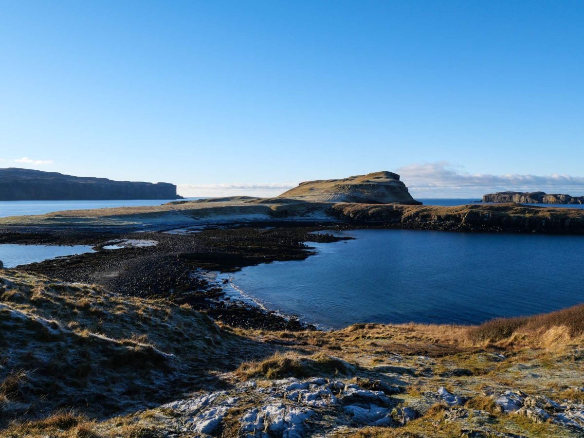
Terrain The track and path to the island is easy to follow across occasionally boggy moorland. The causeway connecting Oronsay to Ullinish Point is submerged for a couple of hours or so either side of high tide. Well-drained, springy turf on Oronsay
Map OS Explorer 410 Access Bus 56A to the Ullinish House Hotel; buses are infrequent, but it is possible to fit the walk in between services from and to Portree – should the tides align.
The Walk
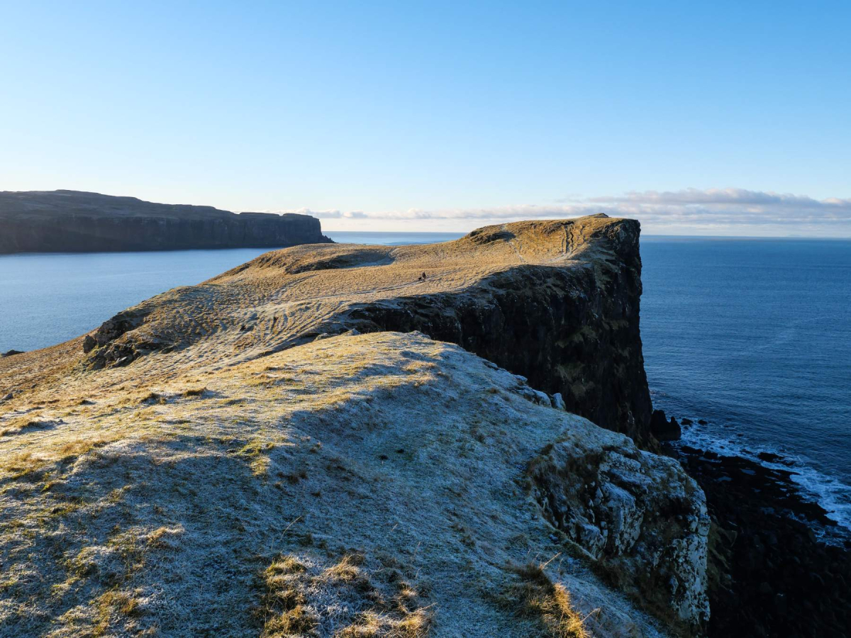
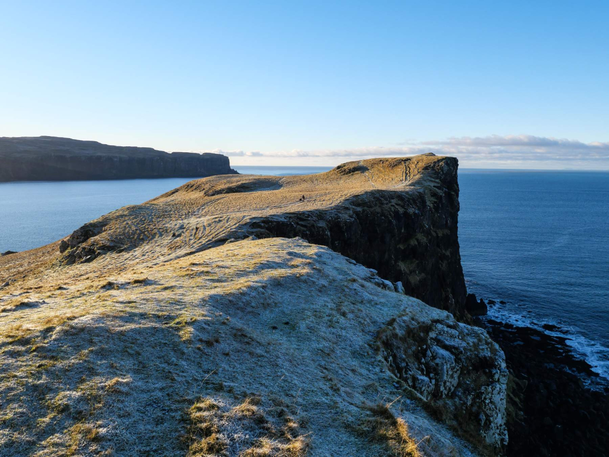
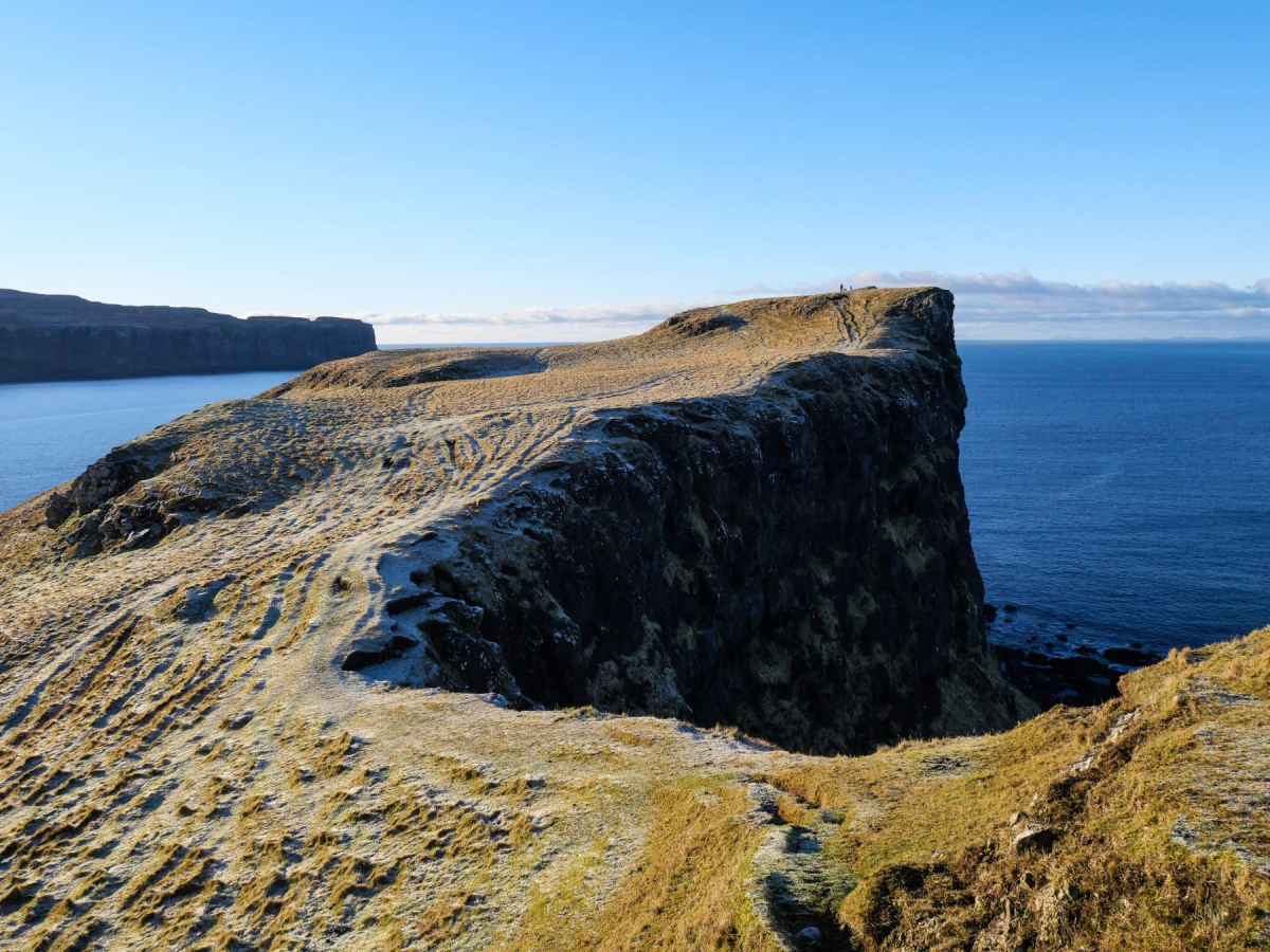
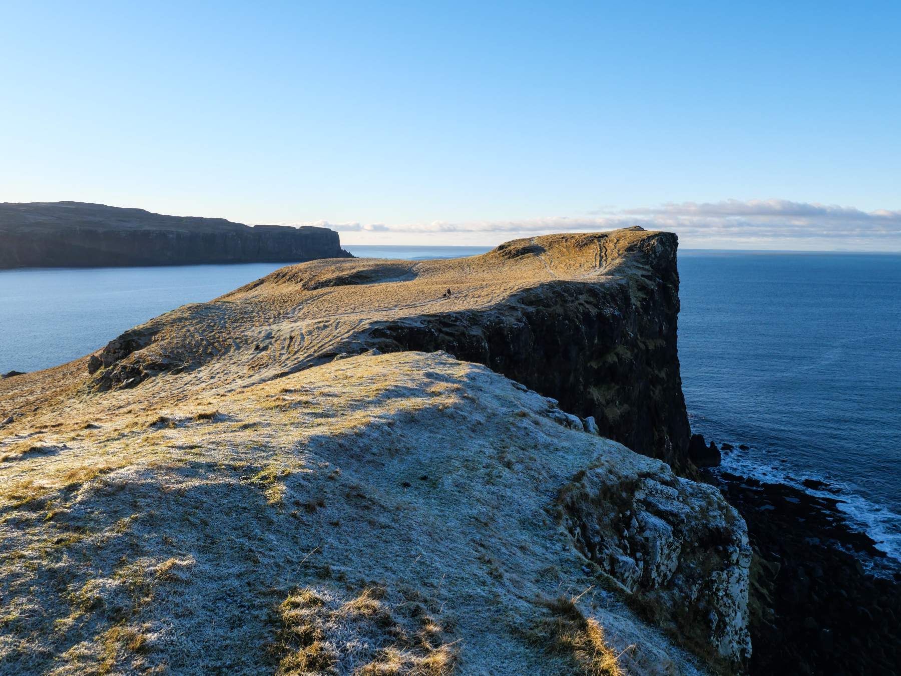
The small, verdant island of Oronsay is one of a number of islands scattered about Loch Bracadale, but unlike its near neigbours it has the distinct advantage of being accessible at low tide via a narrow causeway. Oronsay is a sloping green wedge of an island, rising from Loch Bracadale to vertical cliffs more than seventy metres high; it's a joy to walk around, taking in the expansive views and the impressive cliffs and other coastal features, but it's also a great spot for pausing to watch for seals, sea birds and other wildlife. However, it is important to check the tide times to ensure that you cross to Oronsay as the tide is going out, if you want to avoid becoming stranded. Oronsay is uninhabited and there is no water source on the island. There is good signage to get to the start of the walk and the route is quite straightforward and fairly undemanding.
If driving, take the minor road off the A863 Sligachan–Dunvegan Road, signposted for Ullbhinnis (Ullinish) – there is also sign for Ullinish Country Lodge. After 1.5km turn left where a signpost indicates 'Oronsay Path (tidal) 600m' At the end of the road where it forks between a few houses there is a small parking area on the left.
1. If starting the walk from Ullinish Lodge (which adds a few hundred metres each way to the route), where a signpost indicates 'Oronsay Path 850m' to the left and 'Alternative Start to Oronsay Path (No Vehicle Access) to the right, turn right down a narrow tarmac lane, pass a house on the right and another on the left then just before the next house on the left, turn left (a small sign indicates 'footpath') along a fenced-in path. At its end turn right alongside another fence to reach a narrow tarmac lane. Turn right, walk along the road to its end where it forks between a few of houses and bear left by a small parking area.
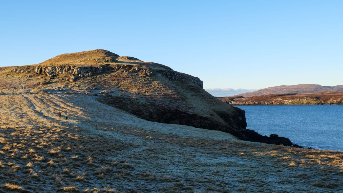
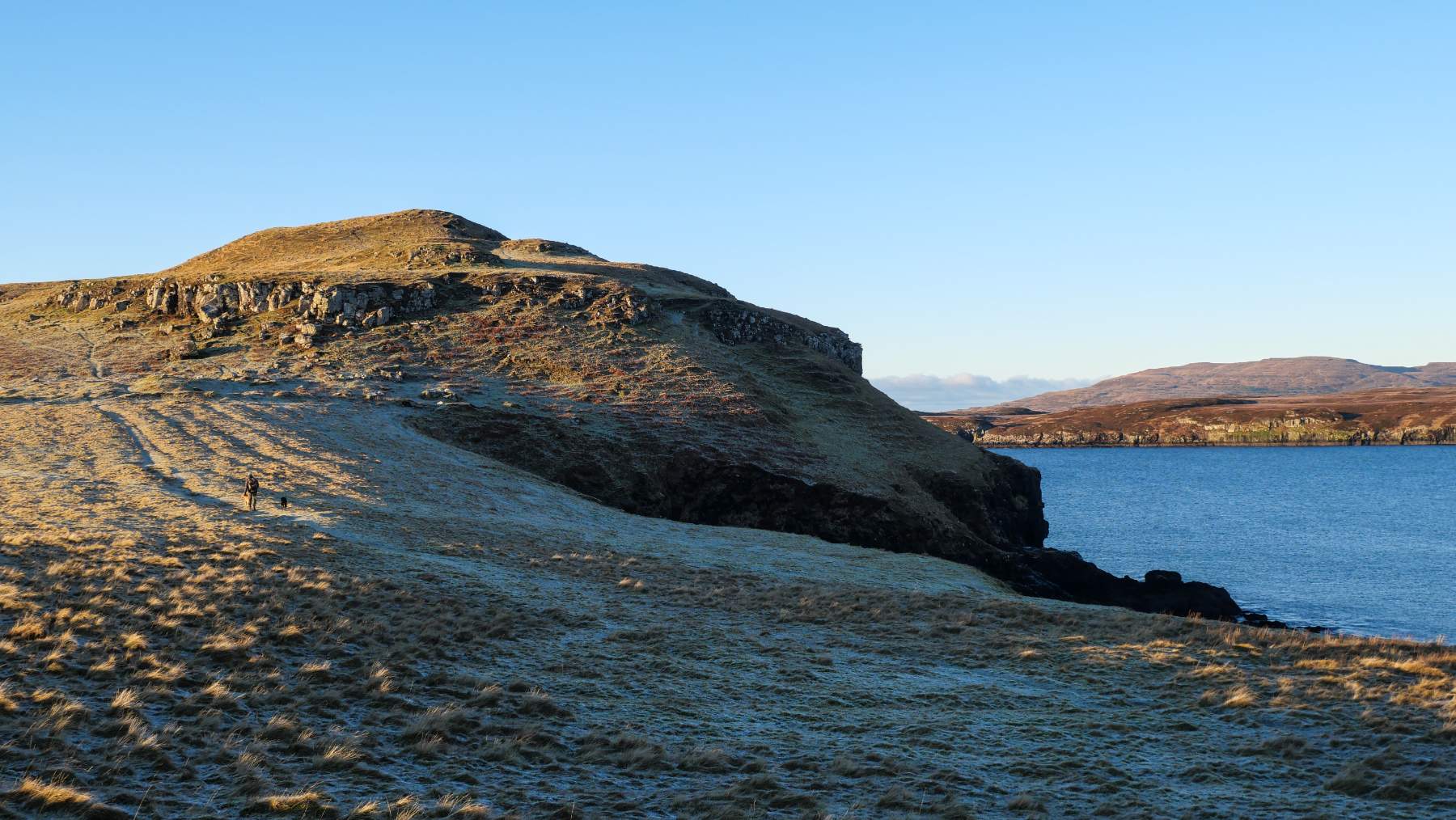
2. Just beyond the parking area a signpost indicates 'Oronsay via Tidal Causeway 2.5km'. Go through the adjacent kissing-gate then another by a small fank and follow the old track across a field, with views opening up west and north-west to MacLeod’s Tables and the islands of Loch Bracadale. At the far side of the field the path continues through another gate in an old wall and continues around a small bay; there are good views of Tarner Island with its impressive arch to the north. The deteriorating path gently climbs the rise of Àrd nan Gamhan ahead, then crosses some boggy ground approaching another gate looking over Oronsay across the causeway below. Go through and follow the path down through a rocky gully to the boulder-strewn shore.
There are likely more than 20 Oronsays, Oransays or Ornsays in the Hebrides, including two on Skye – the other being Isle Ornsay in Sleat. The name may derive from the Old Norse term for a tidal island, Örfirisey meaning 'island of the ebb tide'.
3. The stones on the tidal causeway are slippery so pick your way across with care. Once over the causeway the springy turf makes for easy going underfoot. Climb a grassy slope and bear right to follow paths along the north side of the island, making for Oronsay's high points. Continue along the path to the far end of Oronsay, detouring to visit the high points atop impressive cliffs – there is no protection against falling in the event of a slip, so keep well back from the edge. There are grand views of the other islands in Loch Bracadale and across to the north coast of Minginish – MacLeod's Maidens visible off Idrigill Point. At the furthest south-west point of the island some sea stacks can be seen far below.
4. When returning, head back the way you came a short way until you can descend to the lower, southern coast of the island without difficulty. Continue along the coast to reach a steep-sided geo (inlet) cutting inland. Continue around the head of the geo and look back along the coast from the far side to see an impressively deep, tunnel-like natural arch.
5. The path along the south coast leads back to the causeway where, assuming you noted the tide times correctly, you can return across the narrows and retrace your outward route back to the start.
Location
What's nearby

Where to stay nearby






 Sign in with Google
 Sign in with Email