The Moray Pictish Trail – 50 Miles of Stones, Forts, and Forgotten Symbols

Written by Jack Cairney
This route through Moray follows the echoes of a people who left no written records, but carved their presence into slabs of sandstone and the bones of old strongholds. The Picts weren’t a single tribe or kingdom, but a loose weave of communities across northern Scotland, active from the Late Iron Age through to the early medieval period. What they left behind is scattered, fragmentary — but if you know where to look, it’s enough to map a day around.
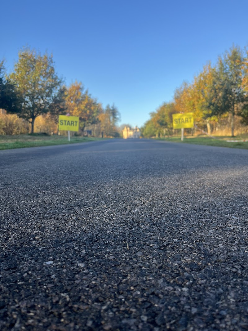
The trail begins quietly near Forres and ends at the harbour in Portsoy. Along the way, it passes standing stones, fortified headlands, ritual spaces and ruined towers — and just enough sea air to blow the dust off the early parts of the day. You’ll cover around 50 miles, mostly on quiet A-roads and coastal lanes. It’s possible to complete it in one unhurried day, with six main stops and a well-timed lunch.
There are no admission fees except your own attention span. Interpretation is light in some places, so bring a sense of curiosity and shoes you don’t mind getting wet. If the tide’s right, you’ll walk into a cave marked with symbols that outlived the culture that carved them. If not, there’s still more than enough above ground.
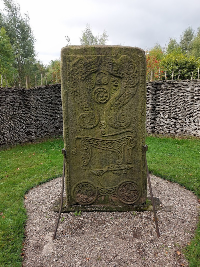
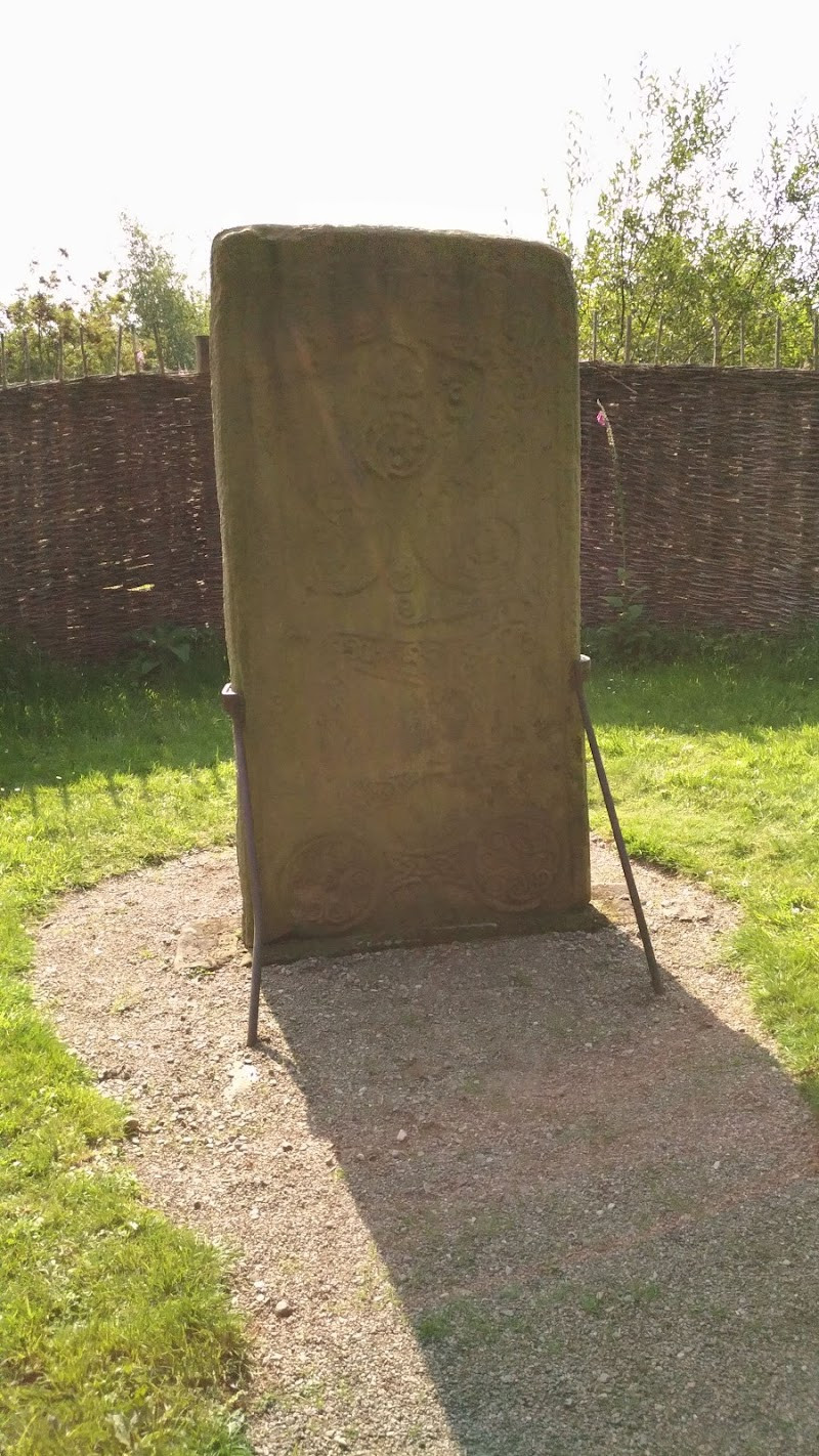
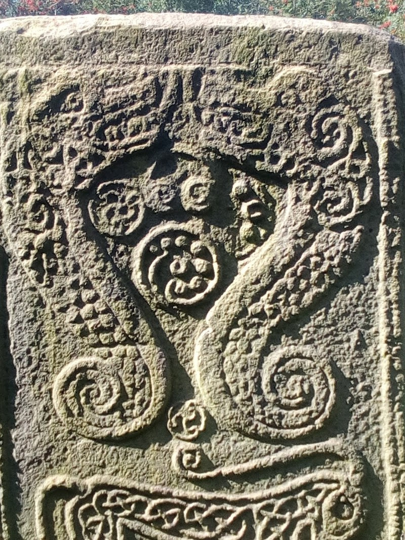
Rodney’s Stone
There’s nothing grand about the setting — a small patch of grass beside the village road, partway between Dyke and Brodie. But this stone is one of the most important Pictish cross-slabs still standing in Scotland. Over 1,200 years old, Rodney’s Stone bears a rare combination of pagan and Christian...
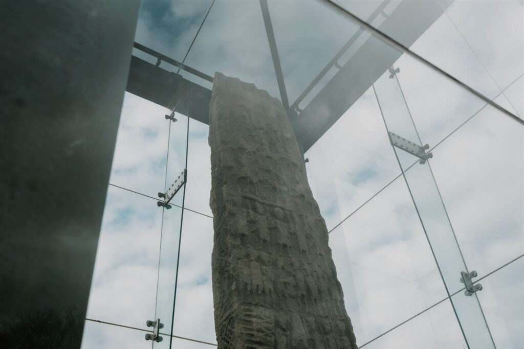
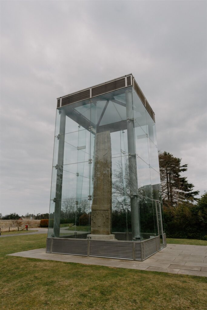
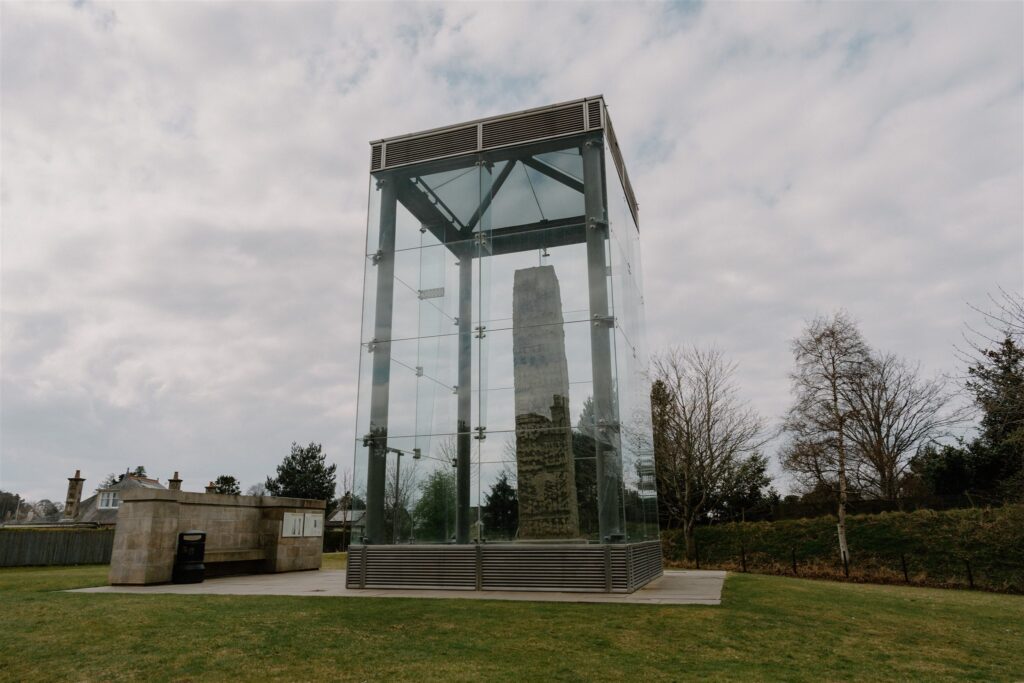
Sueno’s Stone
If Rodney’s Stone shows the quiet collision of old belief and new faith, Sueno’s Stone reveals the fallout. Just ten miles east, at the edge of Forres, this massive sandstone cross-slab stands over 20 feet tall — the largest of its kind in Scotland. It’s not only remarkable for its...
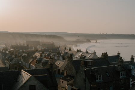
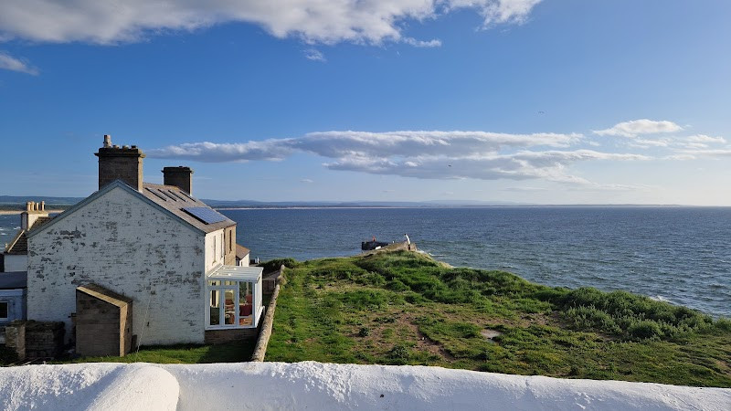
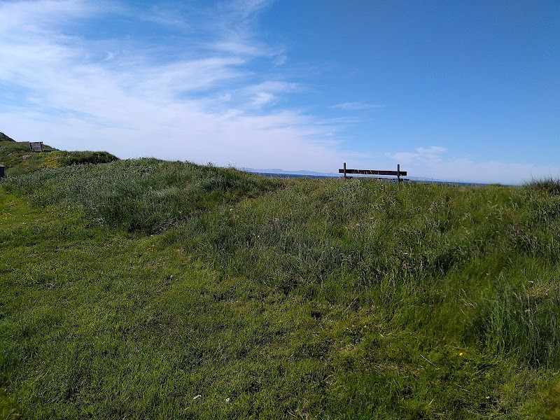
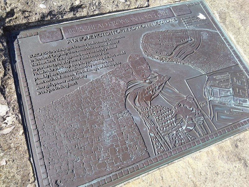
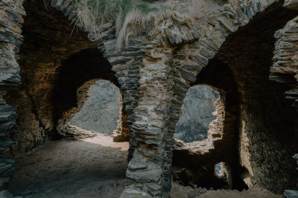
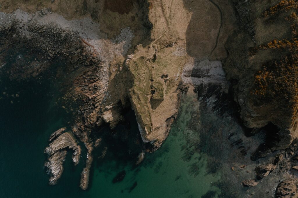
Burghead Pictish Fort
From Forres, the road east curves towards the coast. And at the end of a narrow promontory, caught between two sweeping bays, lie the buried remains of what was once the largest Pictish fort in Scotland. Most of Burghead Fort is gone — carved away by later development or lost...
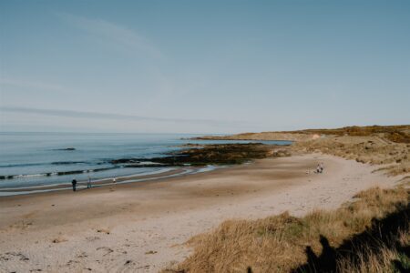
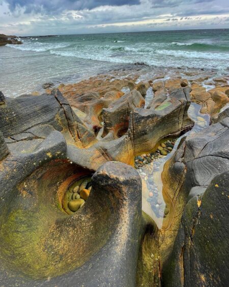
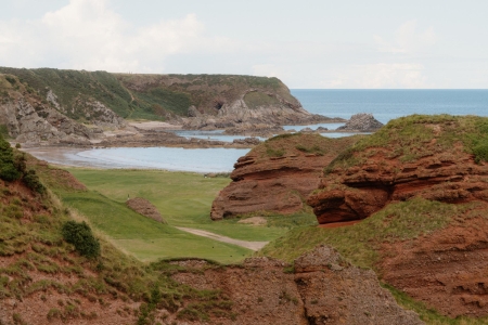
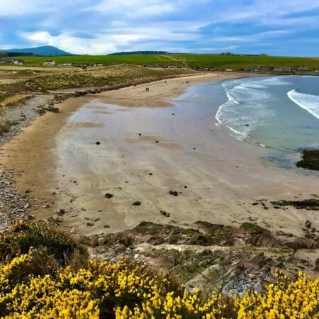
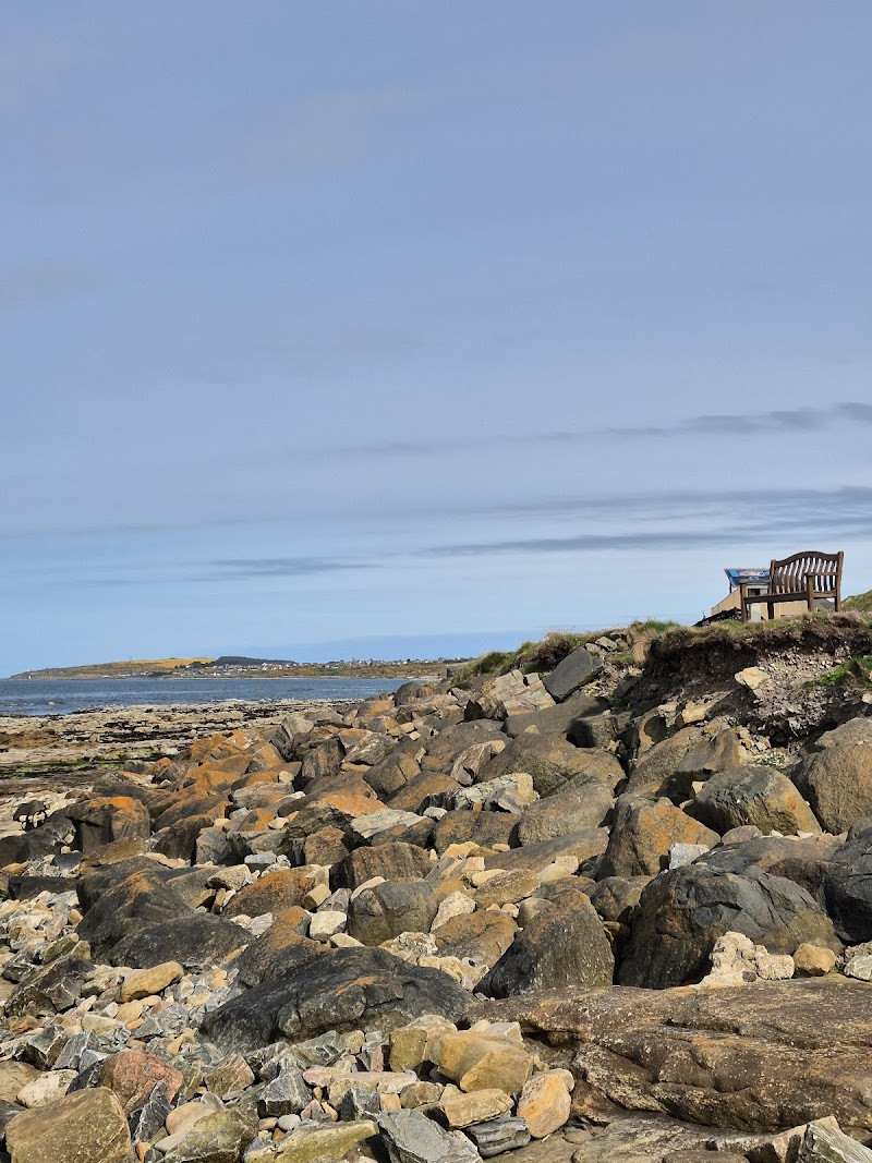
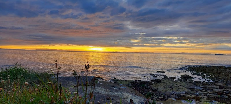
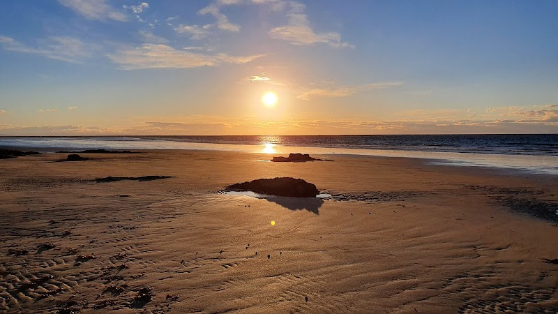
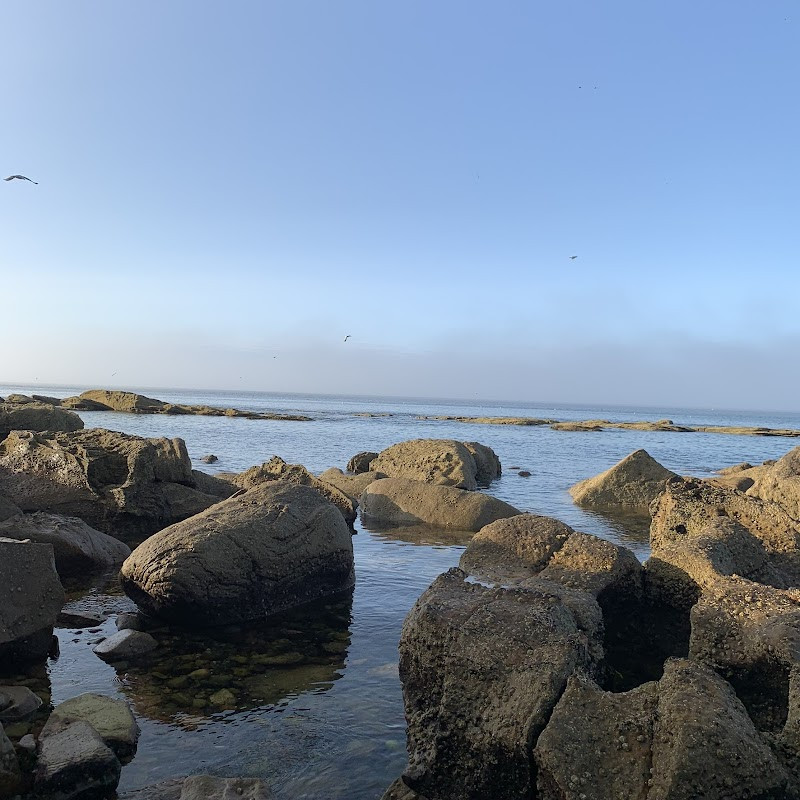
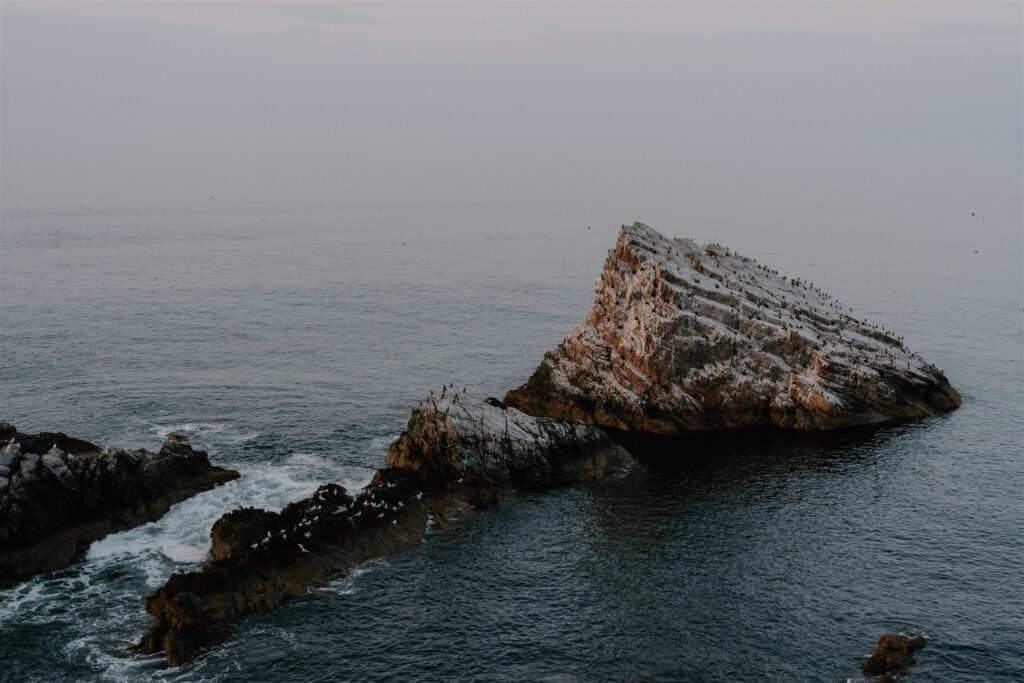
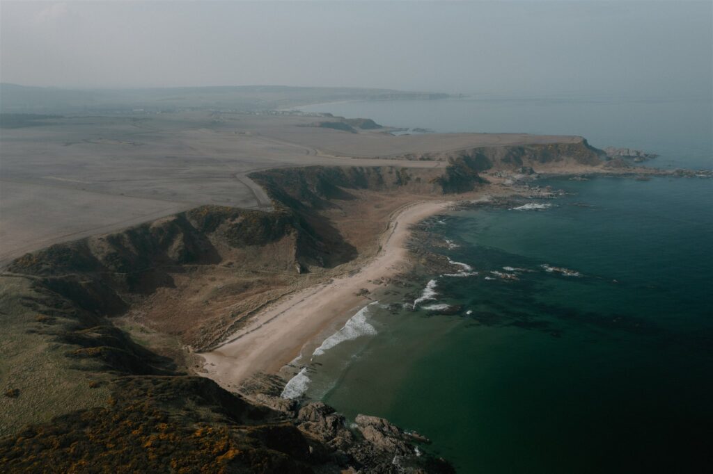
Sculptor’s Cave
From Burghead, the route follows the coast eastwards, past Lossiemouth’s harbour and dunes, to a more hidden spot below the cliffs. The Sculptor’s Cave sits at the base of a sandstone headland west of Covesea. It’s tidal — only accessible at low water — and there’s no signage or barrier...
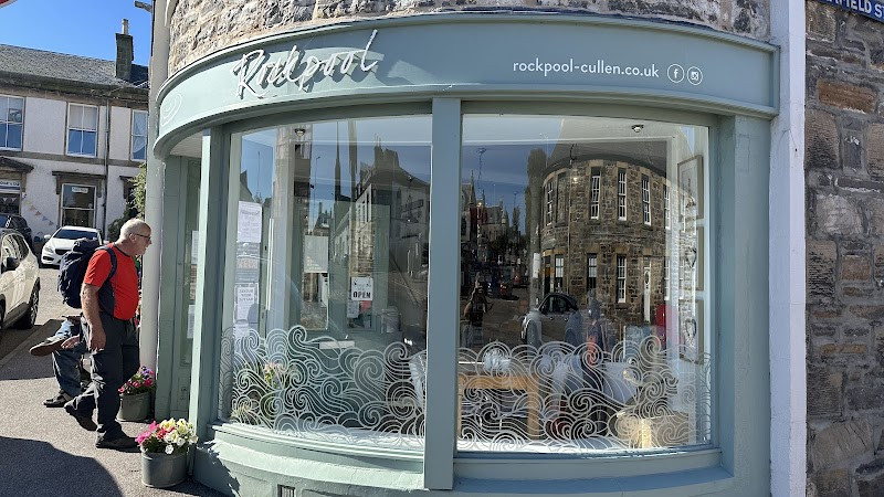
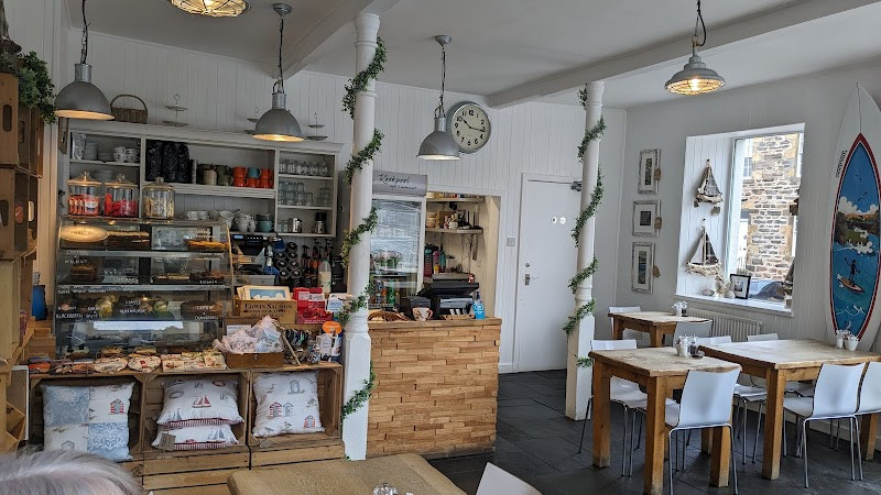
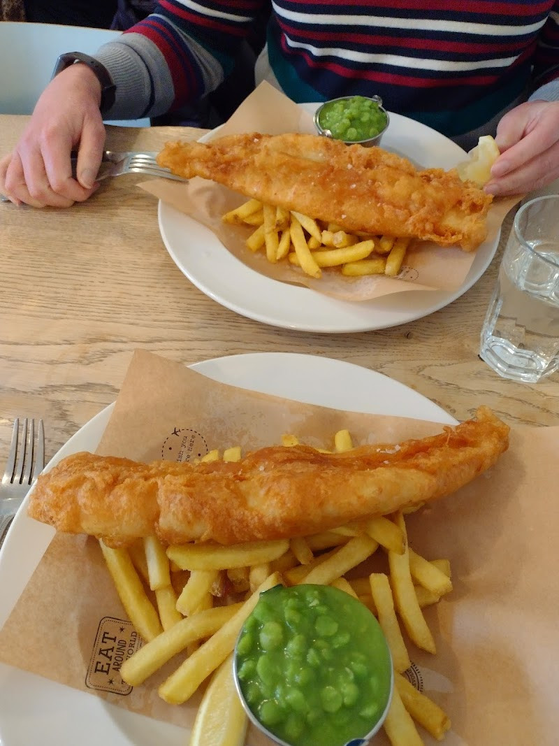
Lunch at Rockpool Café
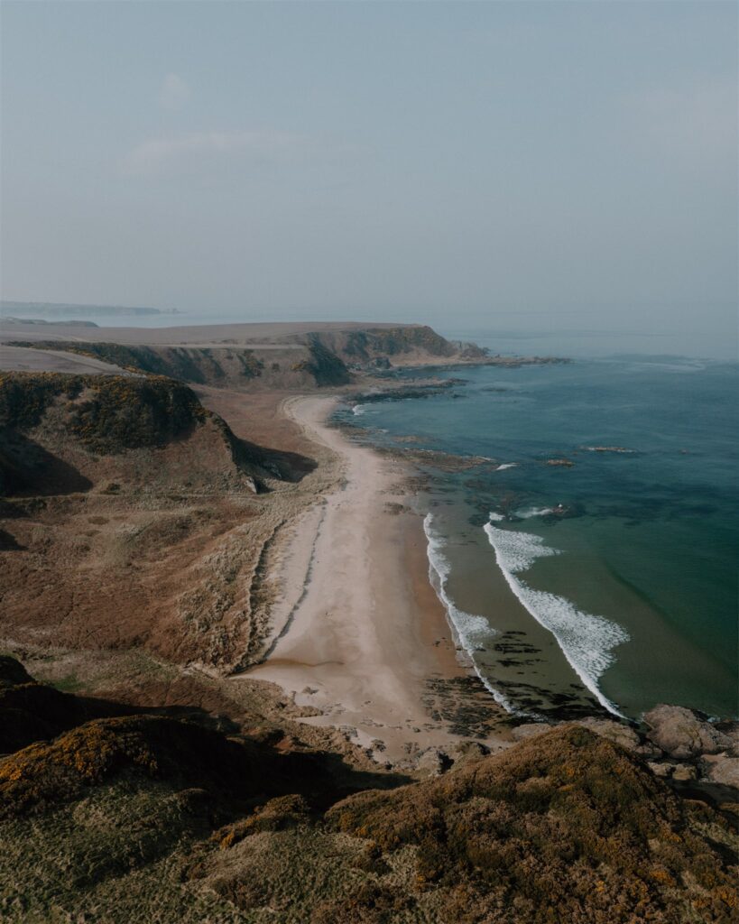
From Covesea, the route leaves the Lossie coastline behind and swings east through Buckie and along the quiet B roads that skirt the edge of Cullen Bay. Cullen itself feels like a natural midpoint — not just geographically, but in pace. The town has long been shaped by the sea:...
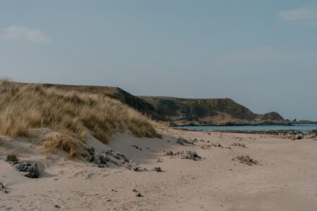
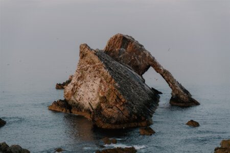
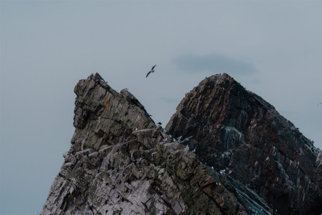
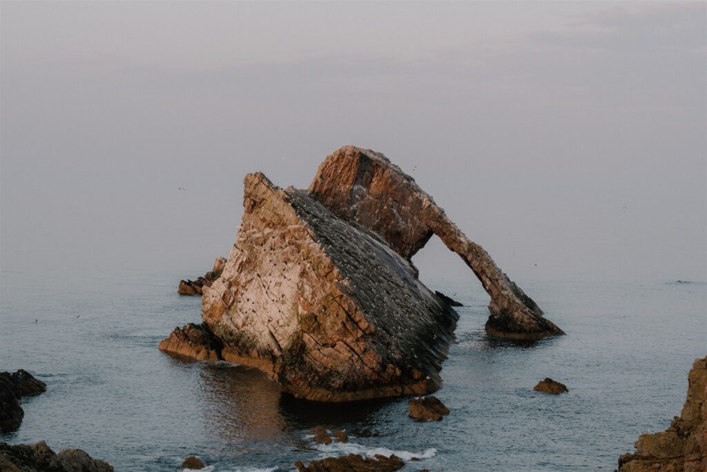
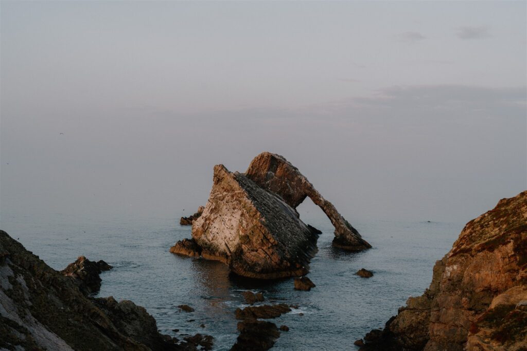
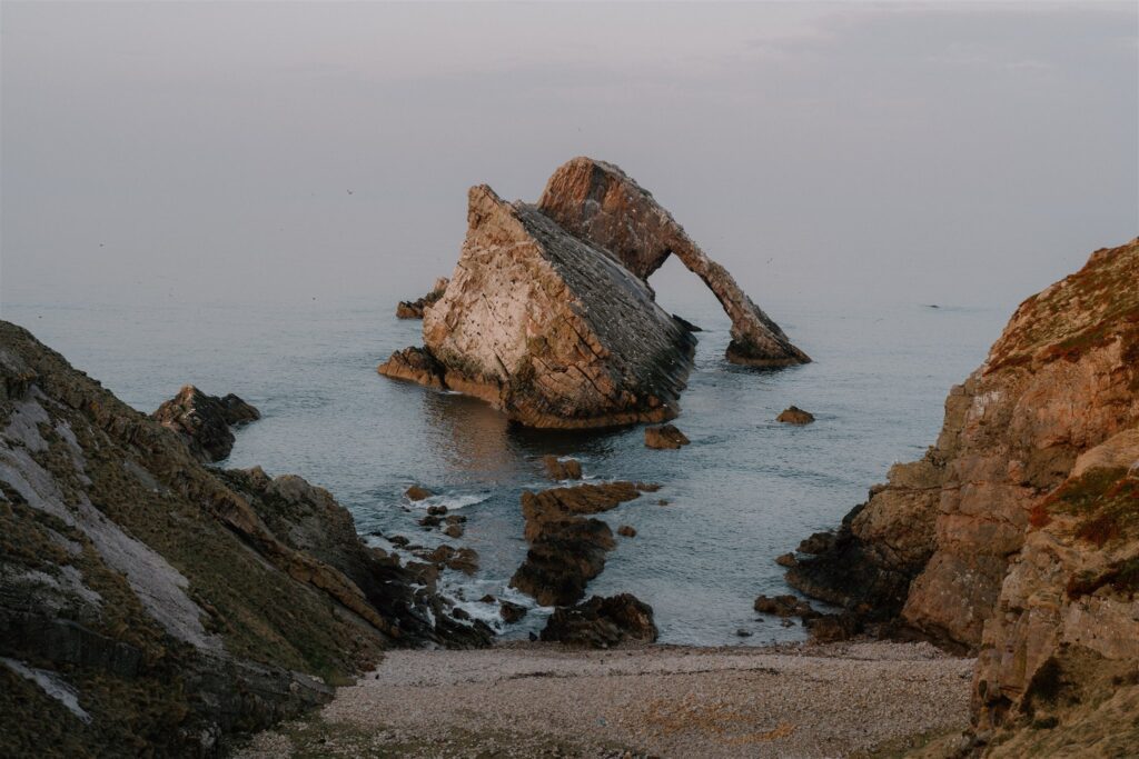
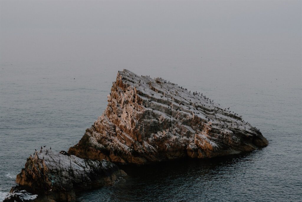
Bow Fiddle Rock
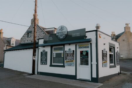
The road from Cullen to Portknockie takes minutes. The walking route between them — along the old railway line above the sea — takes longer, but rewards you with uninterrupted views over Cullen Bay, cliffs, and salt-stained outcrops. Just beyond the village edge, a short turn leads to a small...
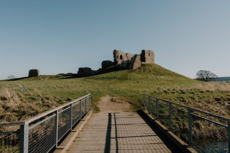
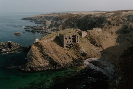
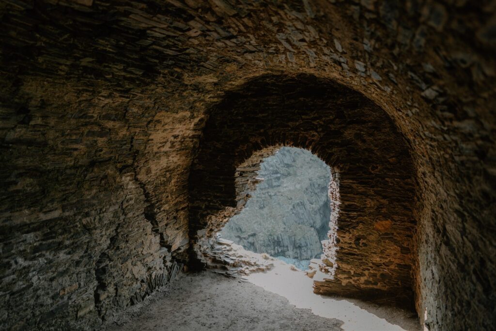
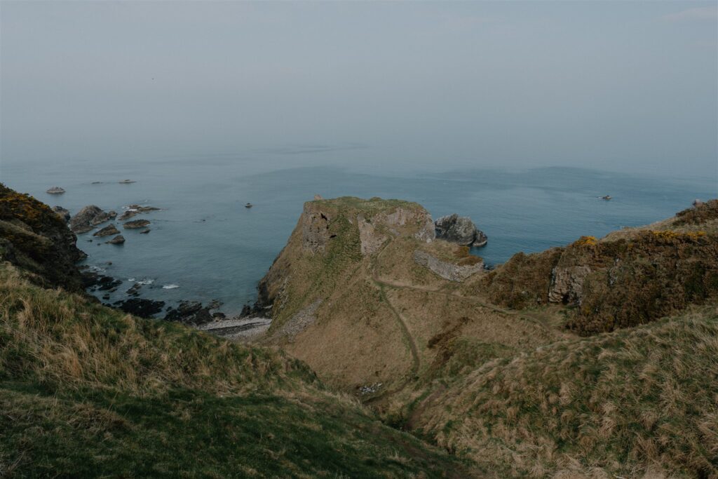
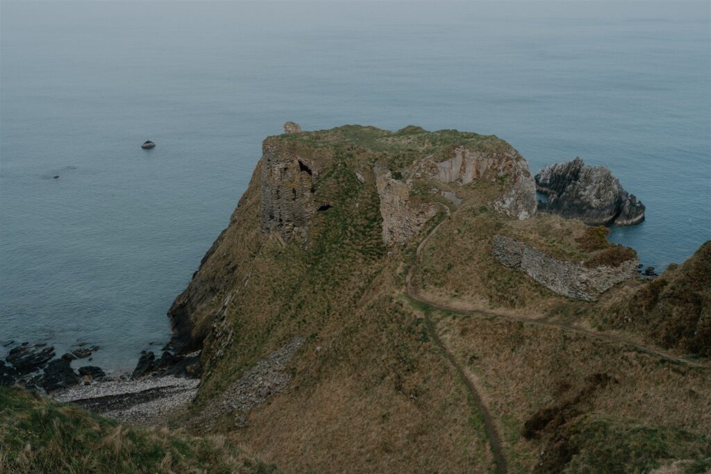
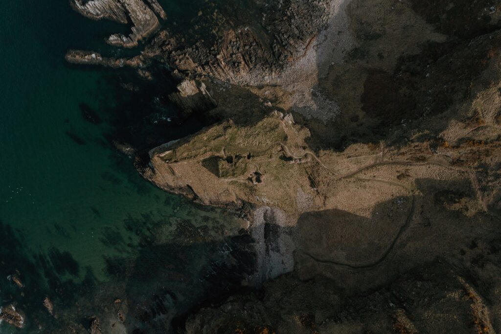
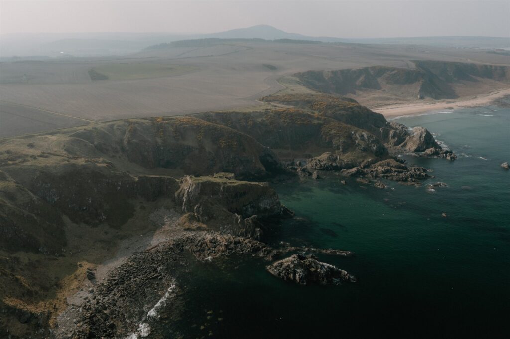
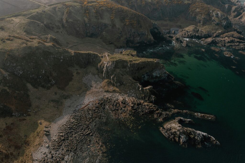
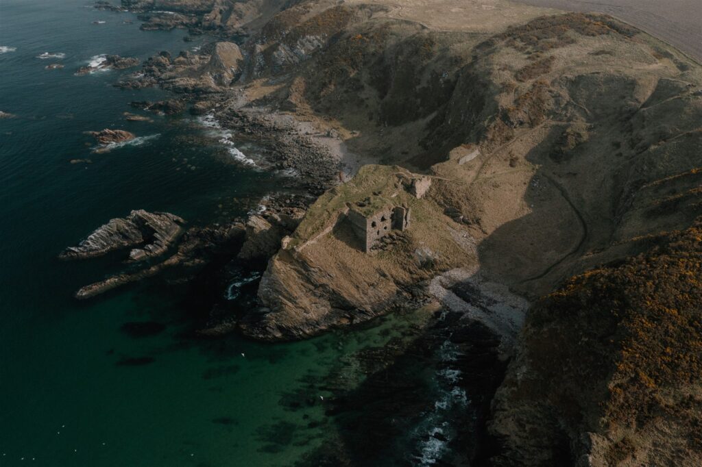
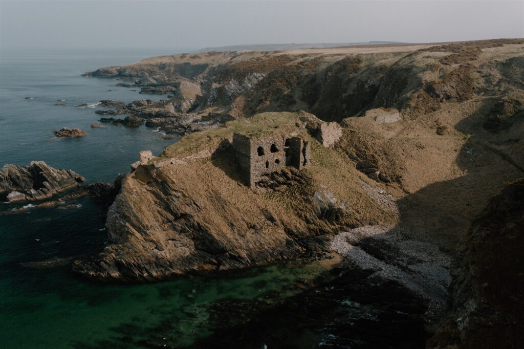
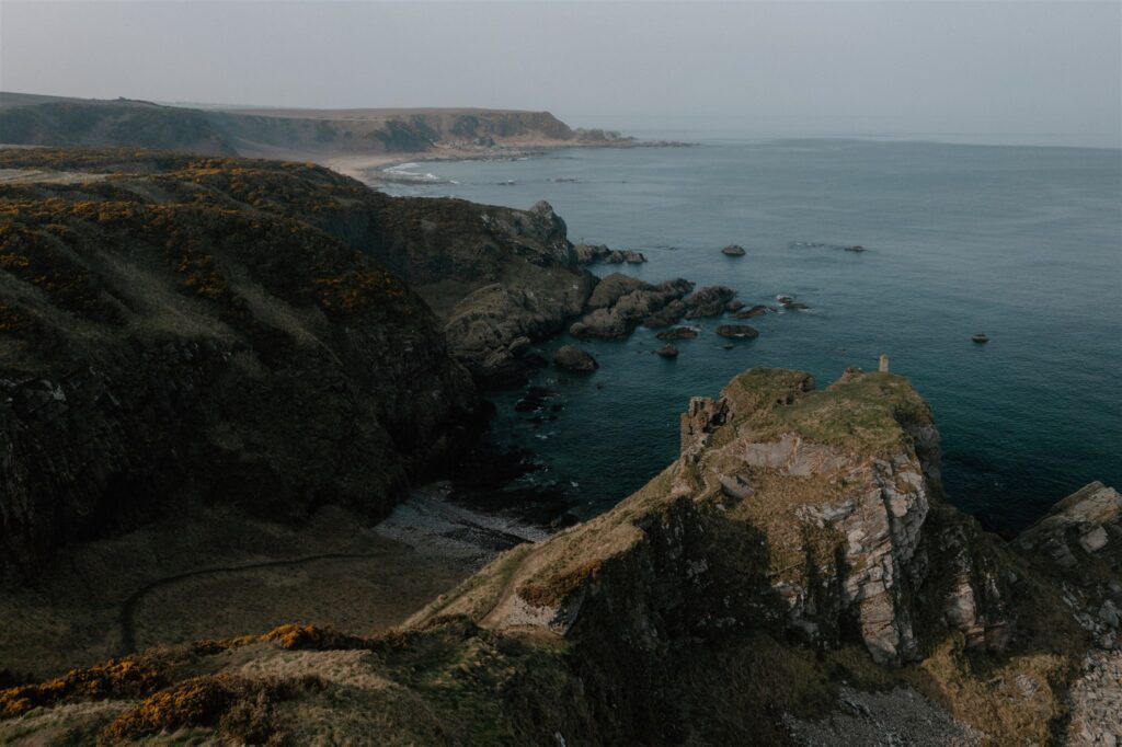
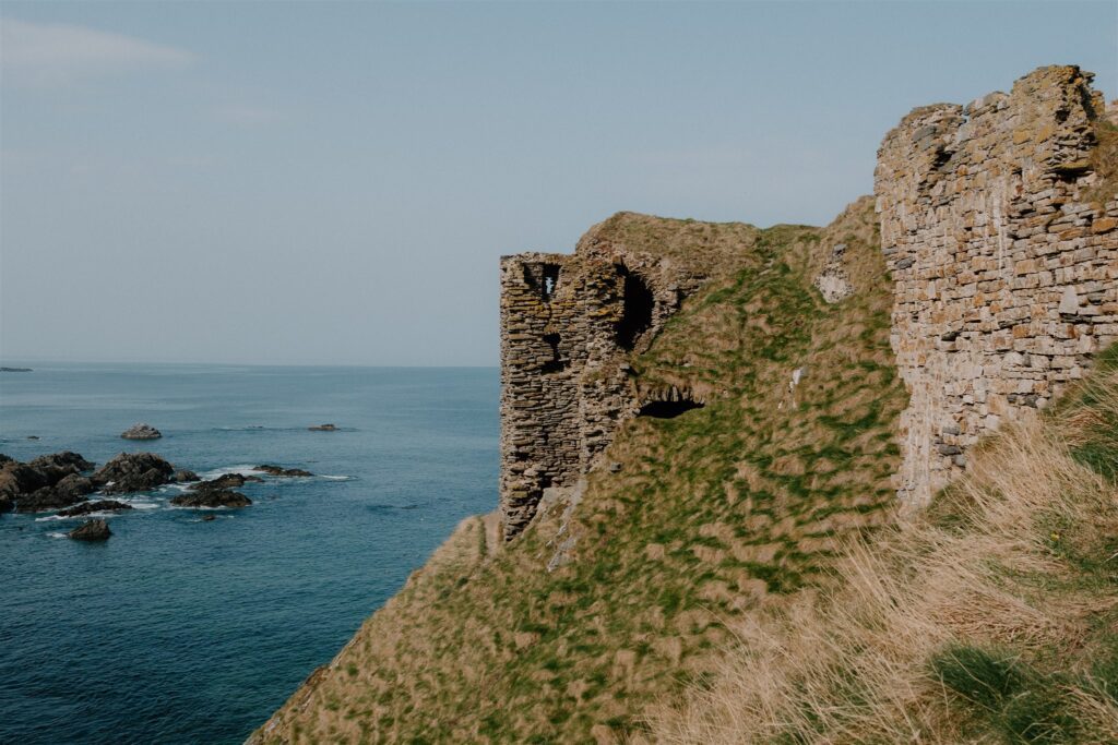
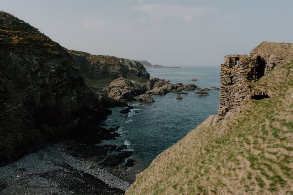
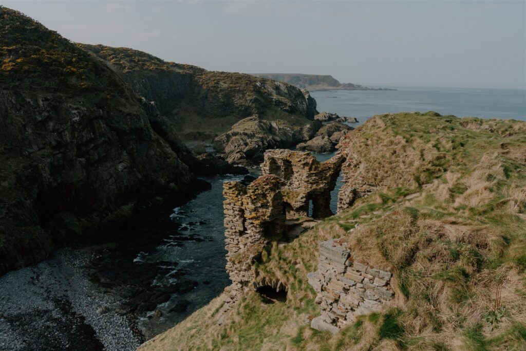
Findlater Castle
Perched on a narrow clifftop west of Sandend, the ruins of Findlater Castle seem stitched into the rock itself — grey stone rising from grey cliff, barely separated from the sea below. Little remains beyond broken walls and half-buried vaults, but the approach alone is worth the stop: a short...
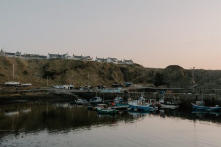
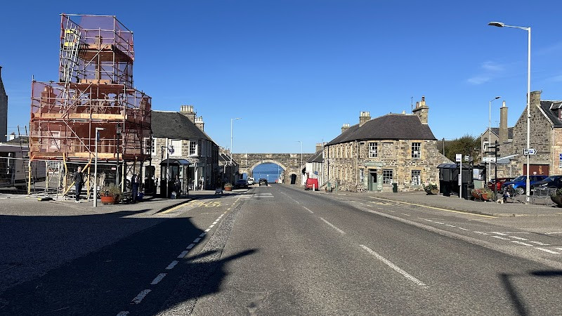
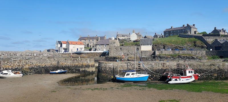
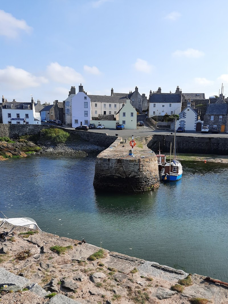
Portsoy
The road ends at the harbour — not just any harbour, but one of the oldest in Scotland still in working use. Built in the late 1600s, Portsoy’s curved stone basin has weathered centuries of North Sea wind, trade, and repair. The original stonework remains in place, patched in places,...


 Sign in with Google
 Sign in with Email