
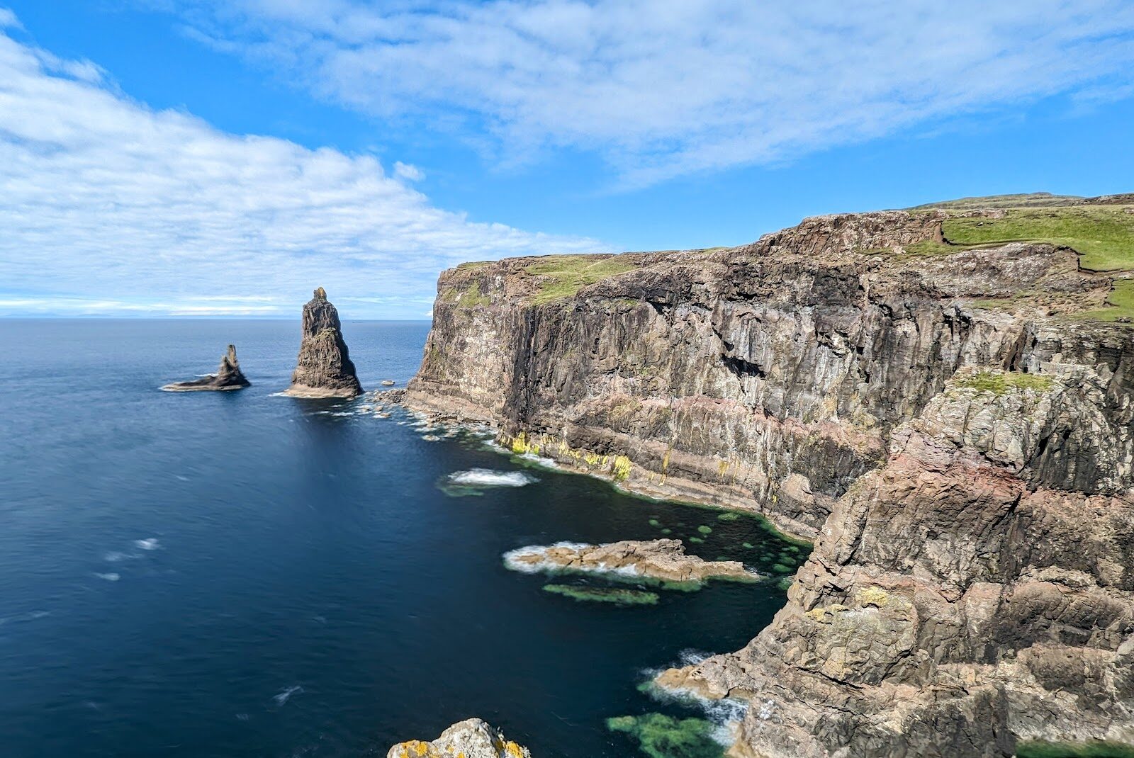
MacLeod's Maidens – Three Sea Stacks at the End of Duirinish
11 miles · 5 to 6 hours · there and back
dogs on a lead
MacLeod's Maidens are three sea stacks off Idrigill Point, the southern tip of Duirinish, and the tallest stands more than seventy metres out of the water.
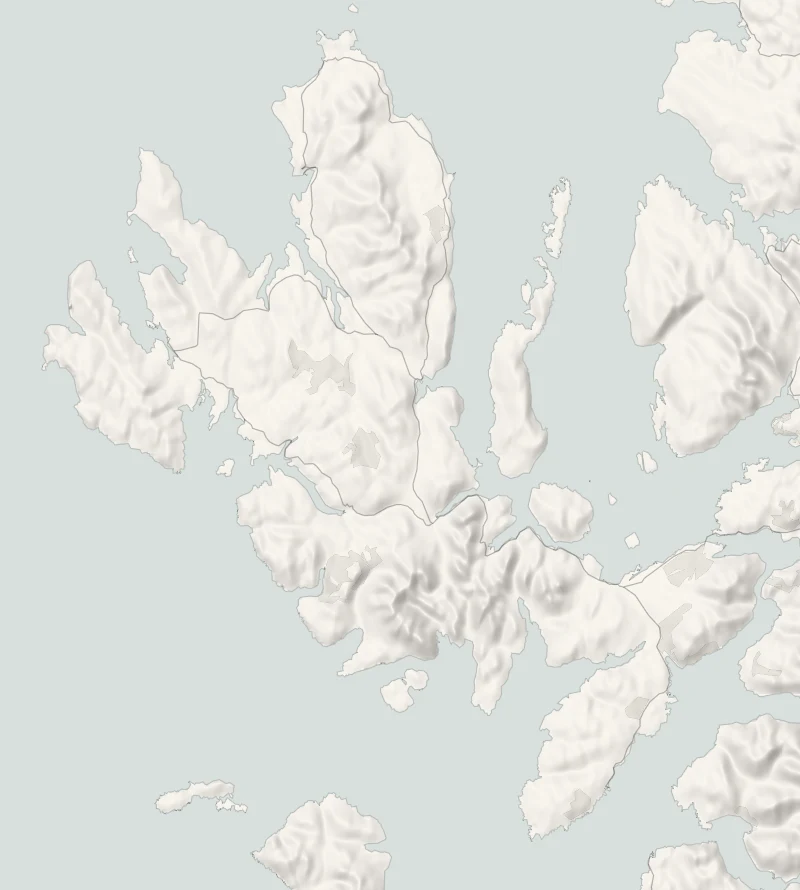
They're reached on foot from Orbost: 17 km there and back along the coast, past two ruined townships. It takes five to six hours and there's nothing out there, so it wants a dry day and an early start.
Where it starts
Start at the small gravel car park at Orbost, at the end of the minor road south of Dunvegan: about five cars, on private ground.
Is it for me?
Tap who is coming, or the day you have, for the answer on this walk.
Before you go
On the path
Five to six hours: 17 km there and back with 589 m of climbing, on a clear path that fades near the stacks. A long, fairly strenuous day. A track round the bay, then a rough path over moor, boggy in places; pathless near the stacks. Too long for young children, with sheer, undercut cliffs at the end.
Good to know
All year in daylight, on a dry day. From November to January be walking by 9.30am. Dogs on a lead near the sheep and deer. Toilets none on the walk. No shelter and no water on the walk. The cliffs at Idrigill Point are sheer and undercut, and the last stretch has no path.
The walk
Park in the small gravel car park at Orbost, at the end of the minor road, south of Dunvegan. It has room for about five cars and stands on private ground, so park tidily and leave the farm's gates clear. Walkhighlands gives the walk as 17 km there and back with 589 metres of climbing, five to six hours. The way goes past Orbost House to the shore of Loch Bharcasaig, round the bay and through a plantation behind a deer fence. Beyond it lie two shoulders of moor, the ruins of Brandarsaig and Idrigill, and the cliffs at Idrigill Point. The path is clear and good for most of the way and boggy in places.
It fades for the last stretch near the stacks, where you cross open ground above a long drop. The first thing you see is the top of the tallest stack. She is the Mother, and the two beside her are the Daughters: in island tradition, the drowned wife and daughters of a MacLeod chief. Go carefully near the edge. The cliffs are sheer and undercut, and the best view is from well back. Idrigill was still a township on a map of 1824 and was empty by 1877.
There's no shelter, no water to rely on and no shorter way back than the way you came, so carry food, drink and waterproofs. Sheep and deer are on the ground, so keep dogs on a lead. From November to January, be walking by 9.30am. At midwinter the walk uses nearly all the daylight there is.
If it rains
Six hours with no shelter is a long time in rain, the moor path turns to bog, and the pathless ground above the cliffs is no place to be in poor visibility. Keep it for a settled day.
After the walk
Something to do with the rest of the day, nearest the end of the walk first.
With the rest of the day
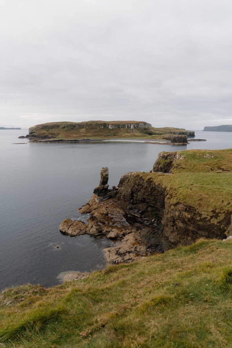 6 min by roadThings to doHarlosh PointA low headland on Loch Bracadale looking across to Harlosh Island, with the Cuillin behind.
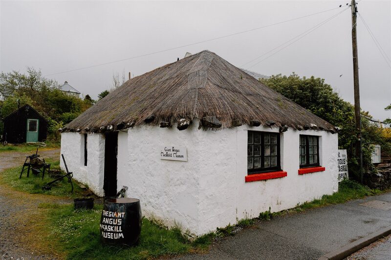 7 min by roadThings to doGiant MacAskill MuseumA small museum in a thatched cottage on Dunvegan's main street, with a life-size figure of Angus MacAskill, the Hebridean giant who grew to nearly eight feet.
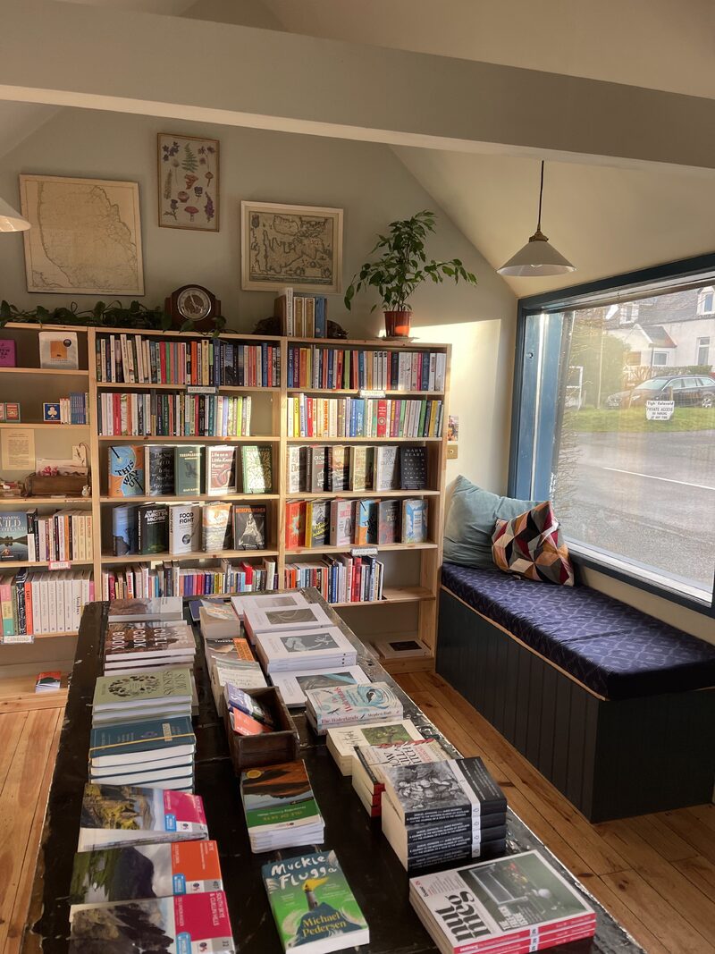 7 min by roadA shopWaystone BooksA small independent bookshop and coffee stop in a whitewashed cottage in Dunvegan.
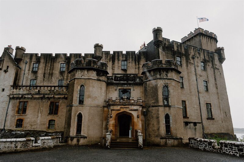 9 min by roadThings to doDunvegan CastleThe seat of the chiefs of MacLeod for 800 years, on a rock above Loch Dunvegan, with the Fairy Flag inside.
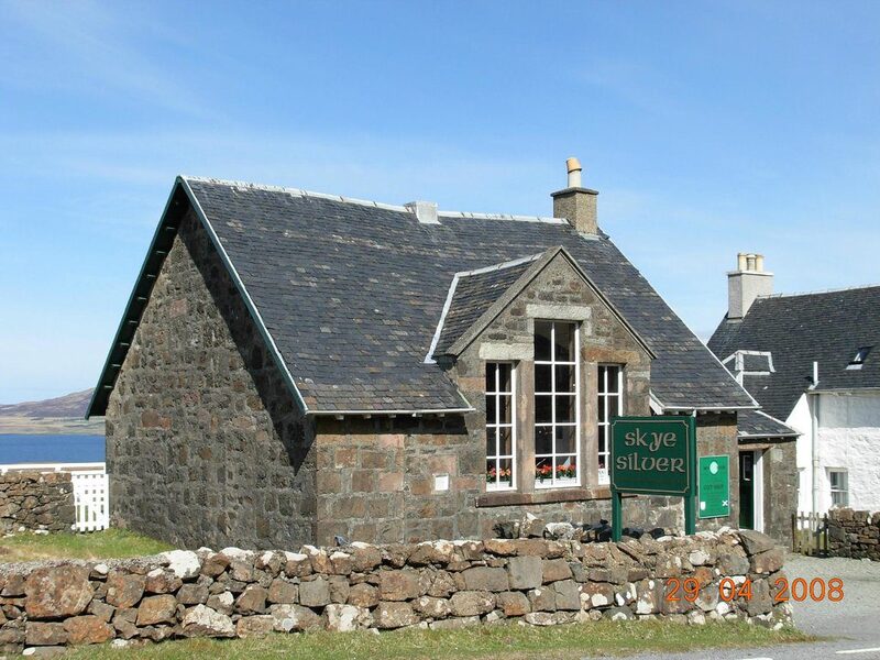 9 min by roadA shopSkye SilverA jewellery maker in the Old School at Colbost near Dunvegan, designing in silver and gold for fifty years.
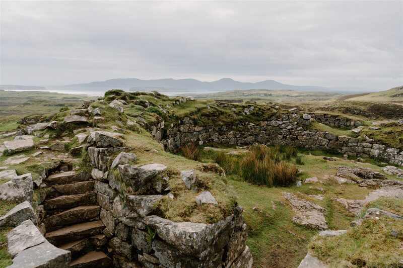 11 min by roadThings to doDun Beag BrochOne of the best-kept brochs on Skye, an Iron Age tower on a knoll above Loch Bracadale, free and open all year.
Places to stay near the walk
Our places to stay nearest the start, by road.
An advert · Colbost
Tigh an Tobair
A four-bedroom house for eight at Colbost, near Dunvegan on Skye, with floor-to-ceiling windows over Loch Dunvegan and a wood-fired hot tub on the deck.
Sleeps 8 · 7 minutes by road
See Tigh an Tobair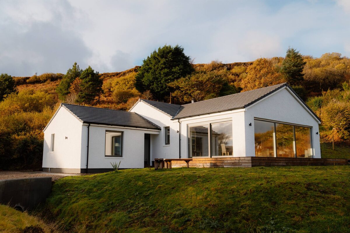
More places to stay near the walk
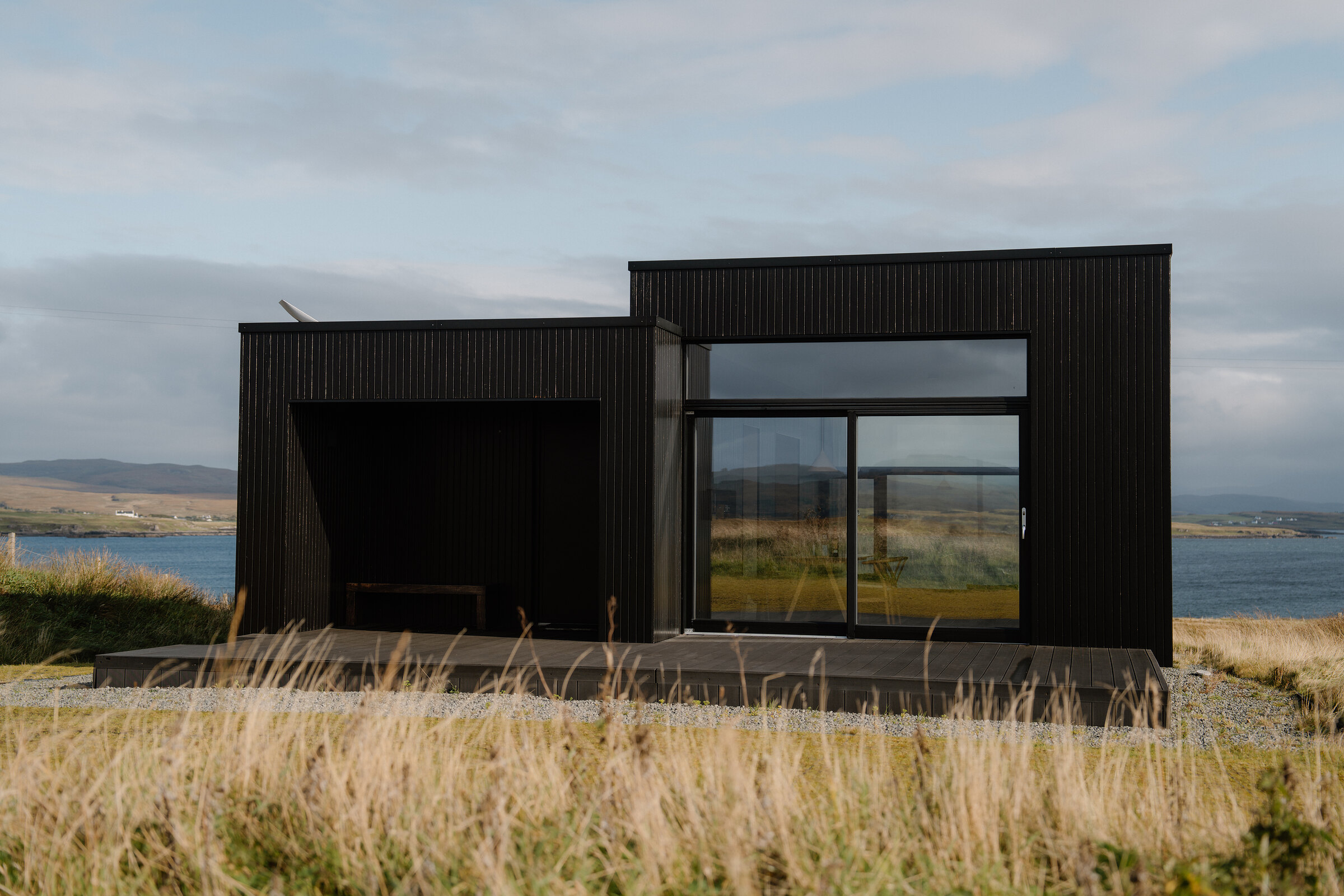 An advert · HarloshHarlosh Black hSleeps 2 · 4 minutes by road
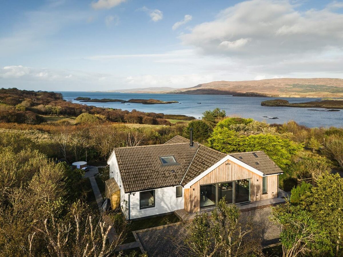 An advertLochviewSleeps 4 · 7 minutes by road
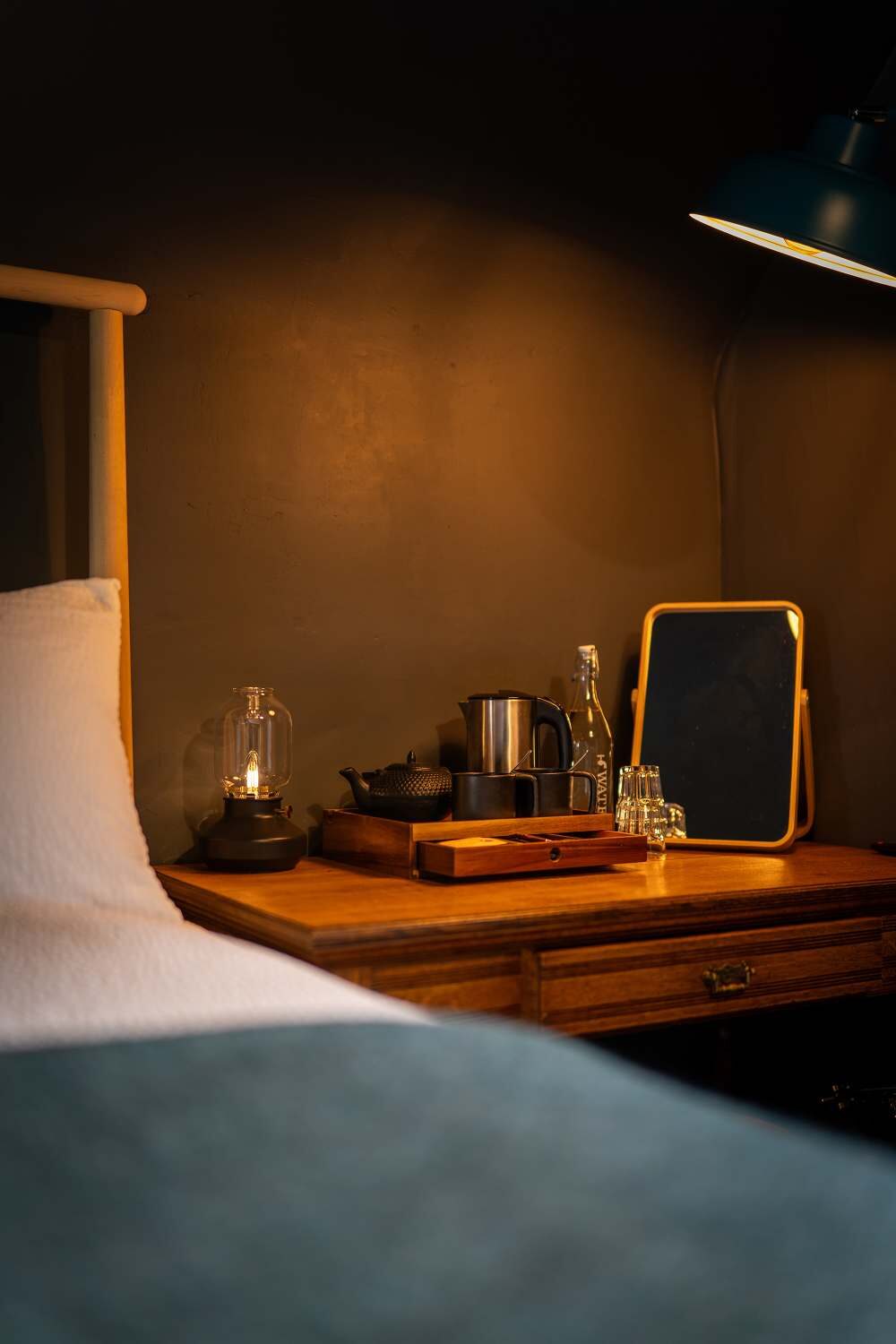 An advert · DunveganThe Dunvegan7 minutes by road
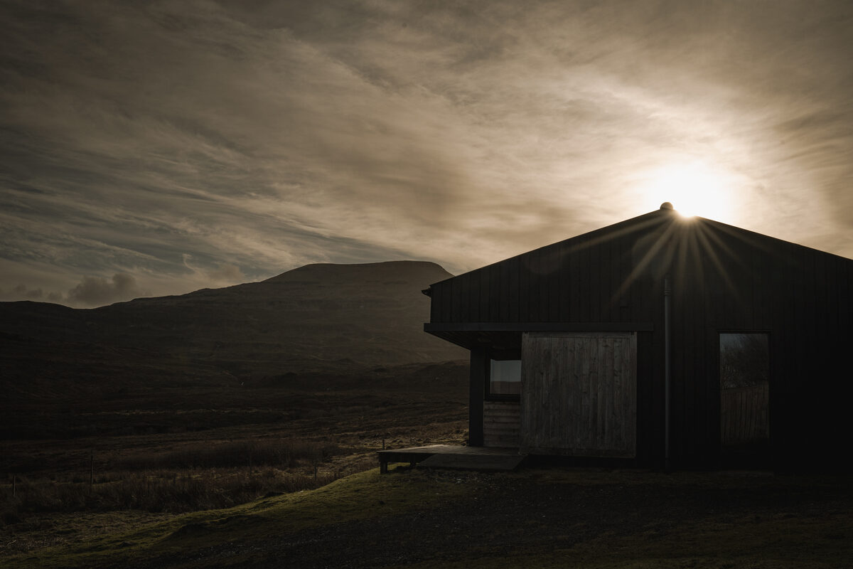 An advert · SkinidinThe Black ShedSleeps 2 · 8 minutes by road
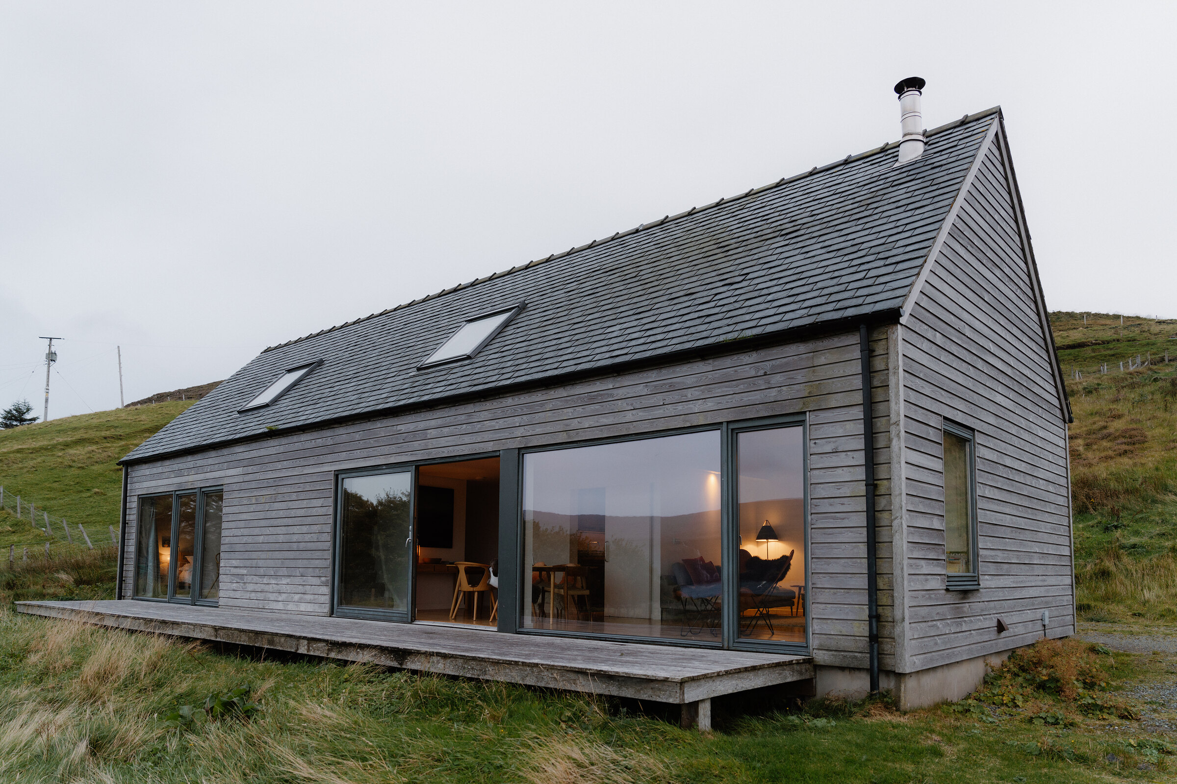 An advert · Lower MilovaigHarlosh Wood hSleeps 6 · 14 minutes by road
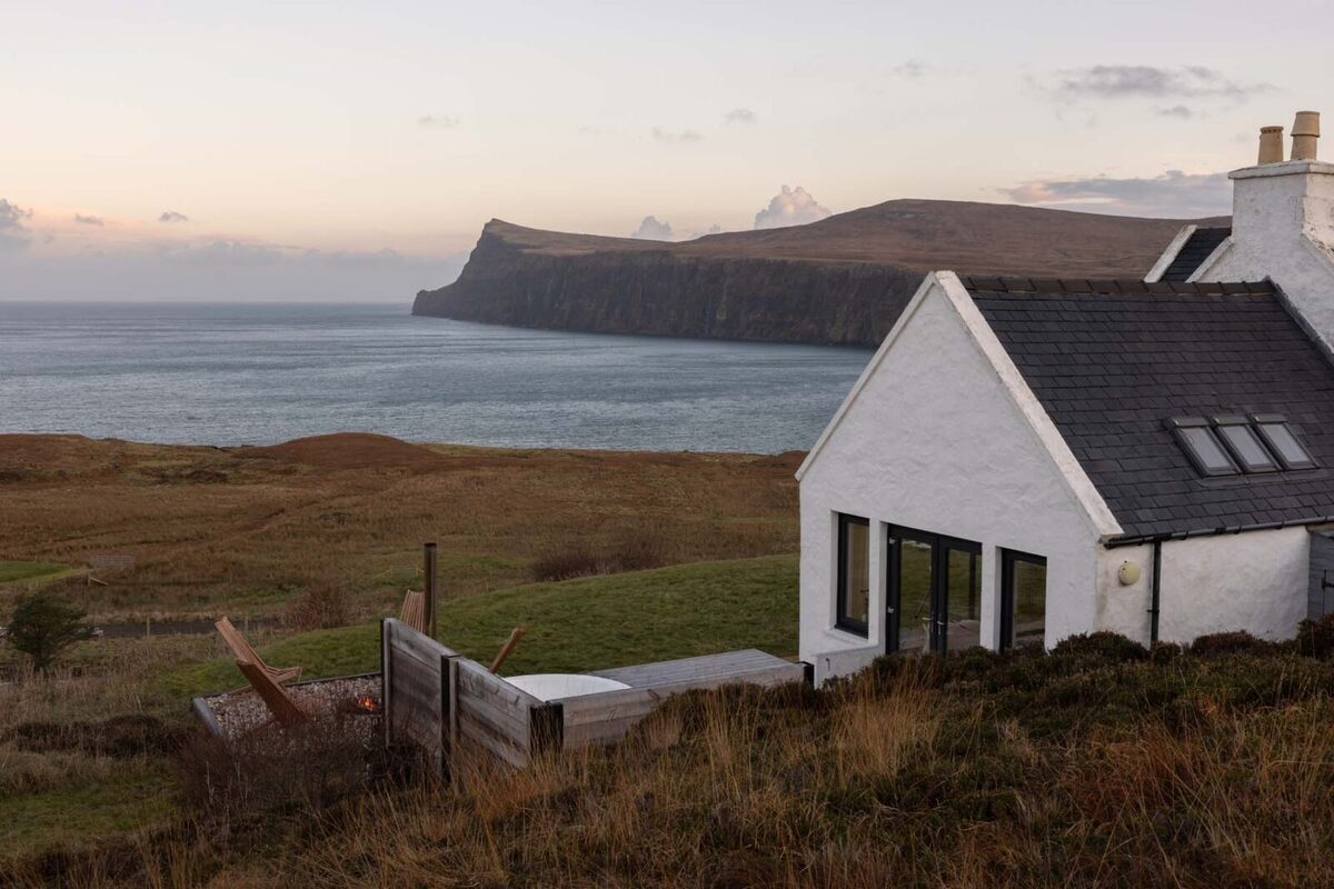 An advert · MilovaigMilovaig HouseSleeps 4 · 15 minutes by road
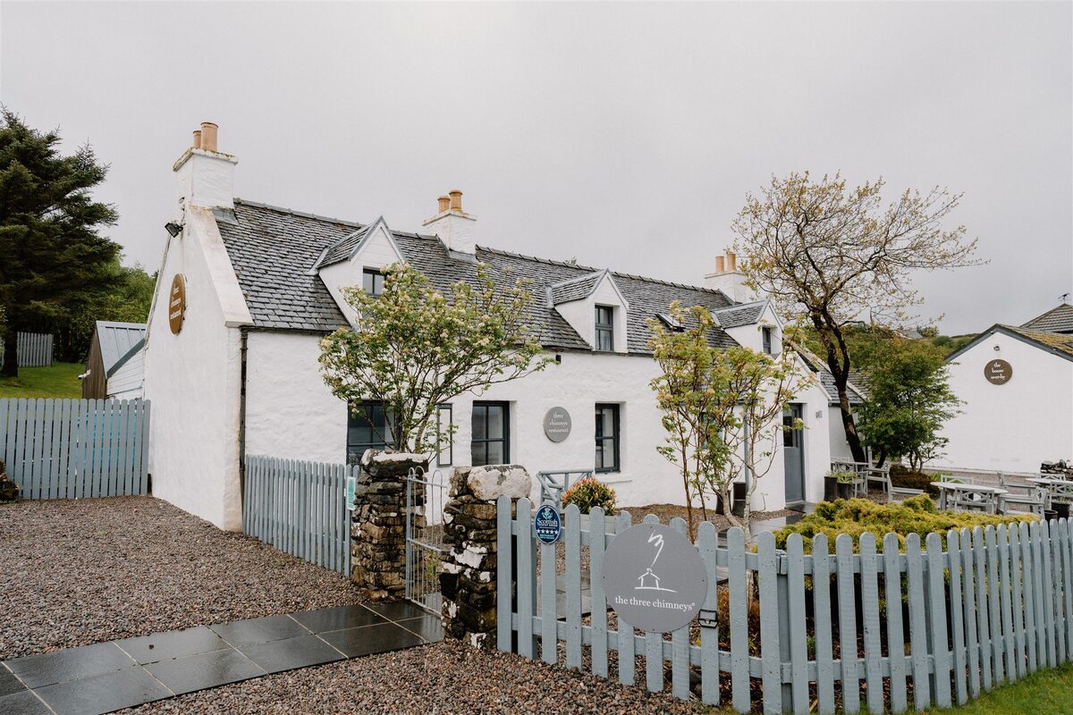 ColbostThe Three Chimneys7 minutes by road
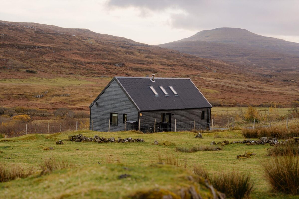 GlendaleBlack Box CabinSleeps 4 · 13 minutes by road
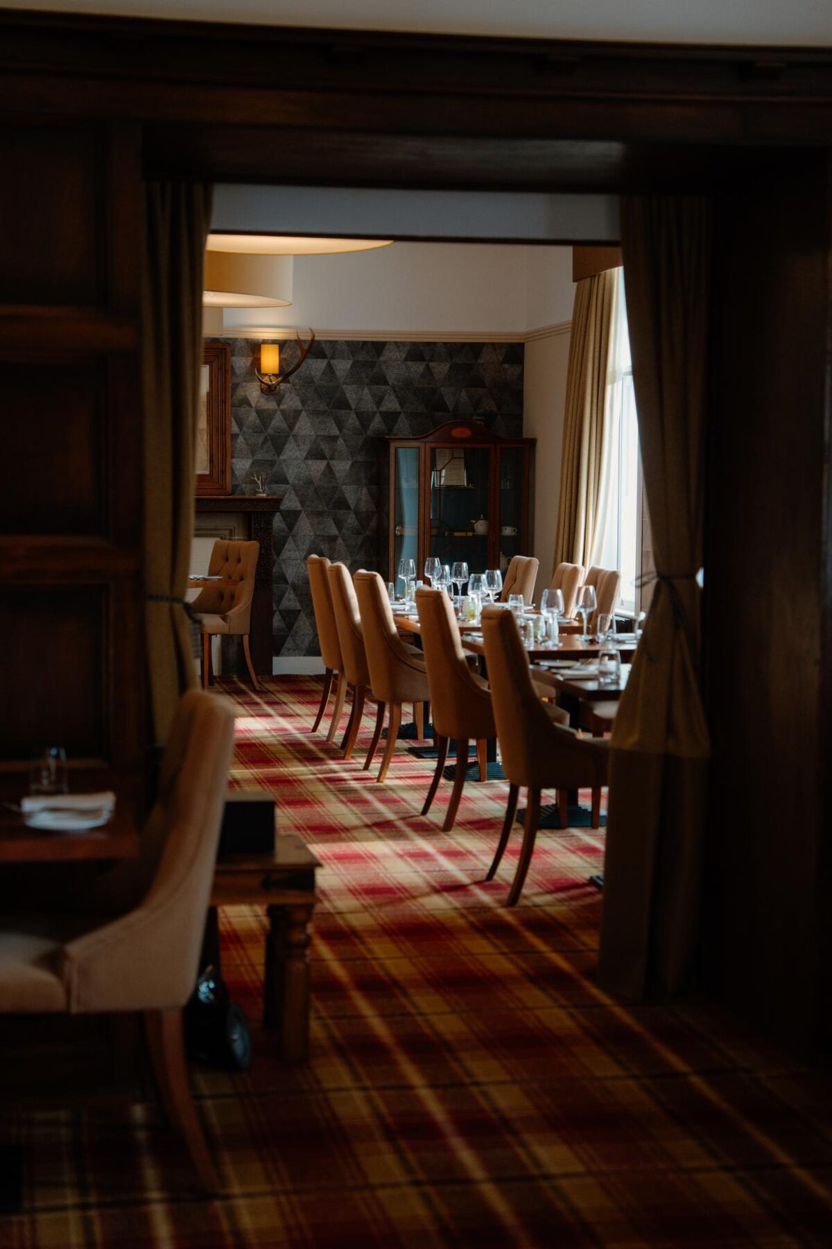 Skeabost BridgeSkeabost House Hotel24 minutes by road
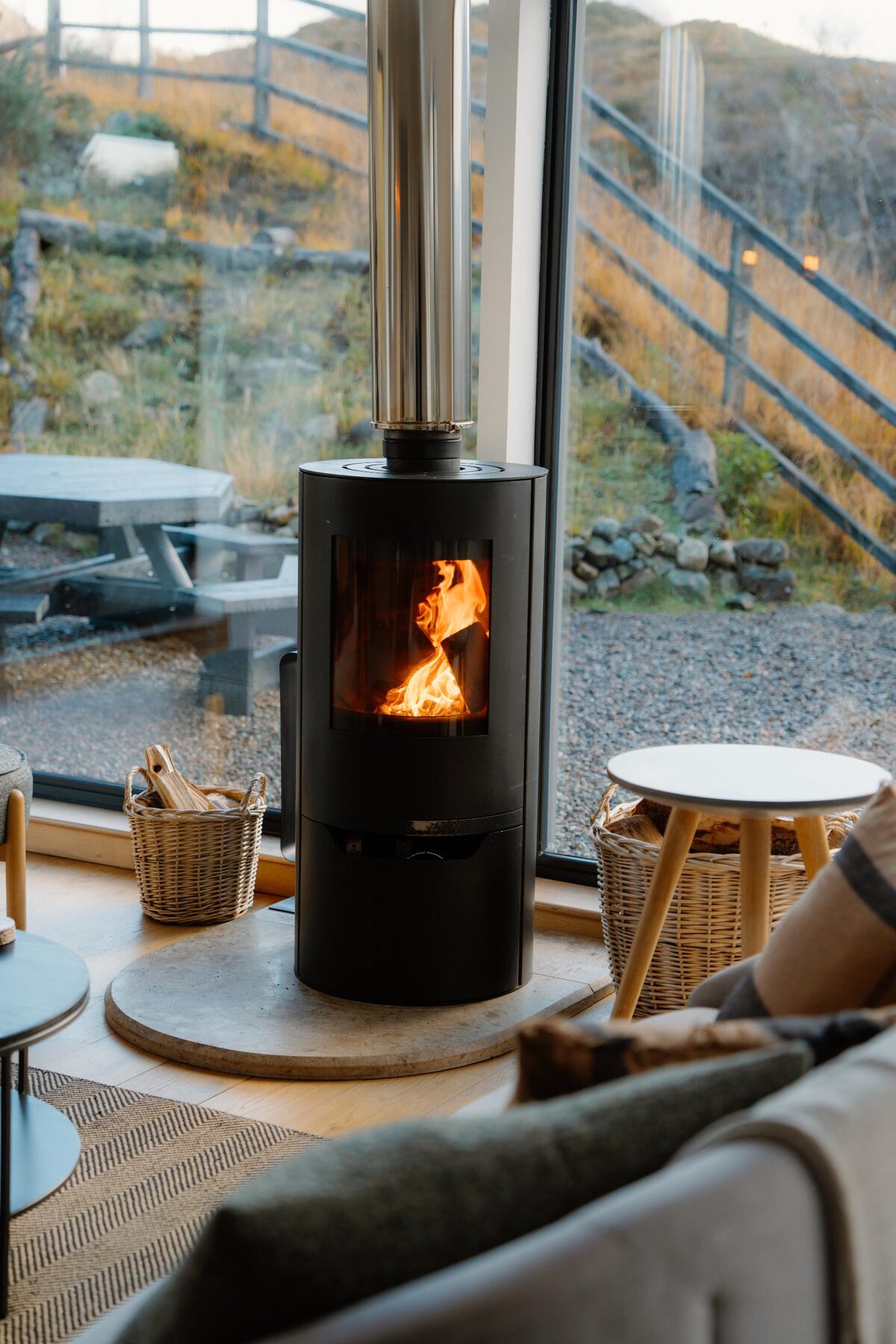 SligachanSligachan BlackhousesSleeps 6 · 30 minutes by road
More walks near here
Within a short drive of the start.
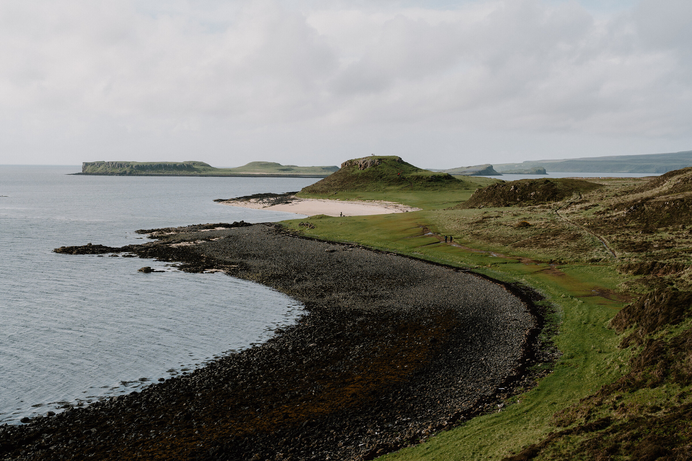 13 min by roadA walkThe Coral Beach2¼ miles, about 45 minutes
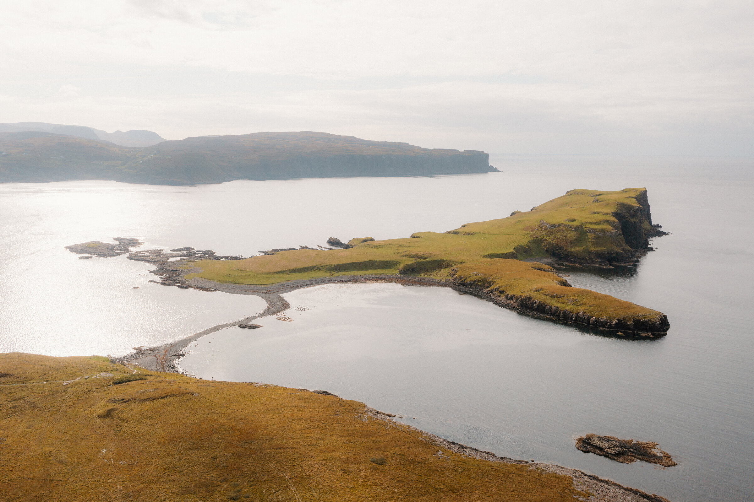 13 min by roadA hillOronsay3 miles, 5 km (3 miles) there and back by the Skye geology guide, with the island walked round; the Isle of Skye tourism site gives 3 km. No source gives a time for the walk. Over croft land and a stony tidal bar to the island's top at 72 m, a walk ruled by the tide
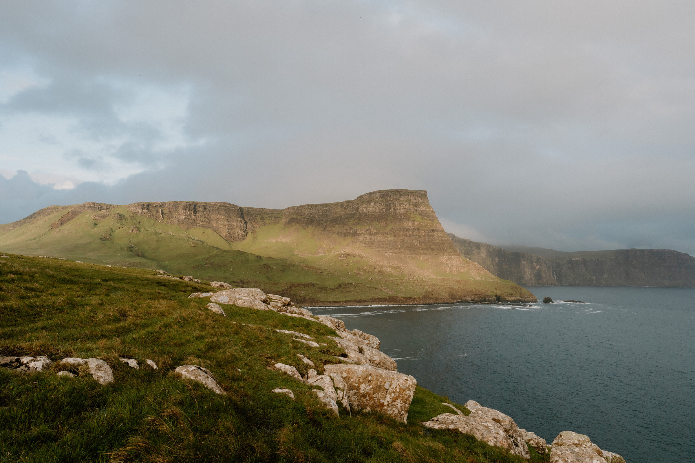 14 min by roadA hillWaterstein Head2½ miles, about two hours
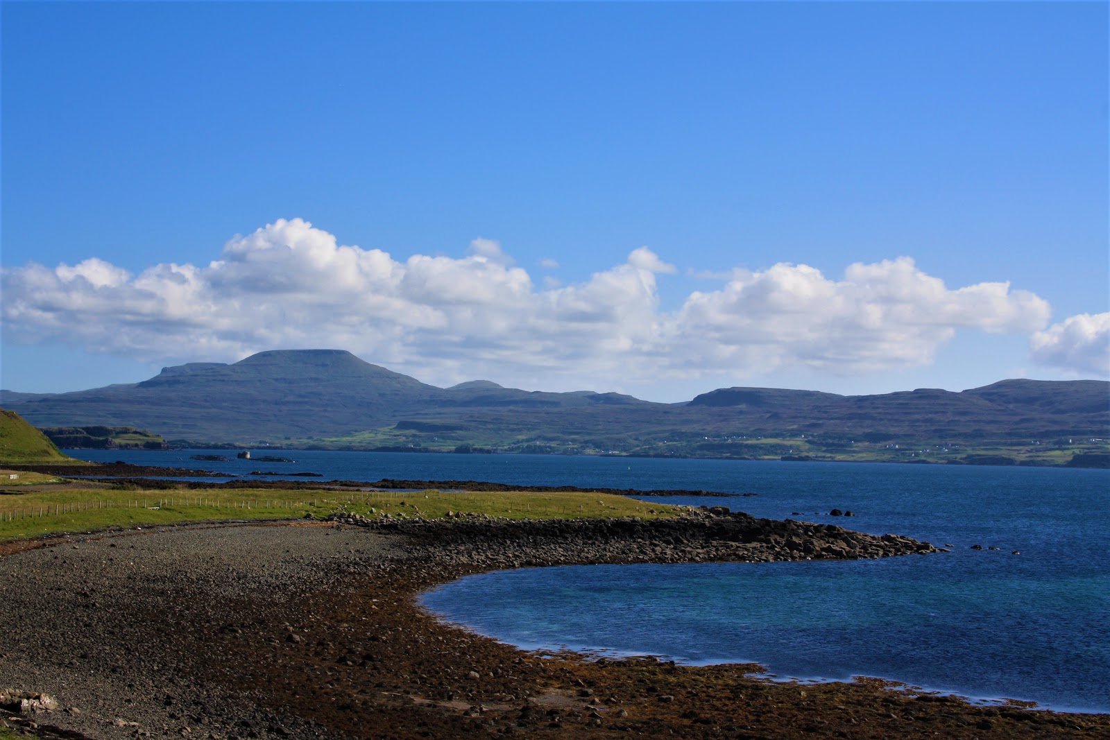 0 min by roadA hillMacLeod's Tables7 miles, four to seven hours
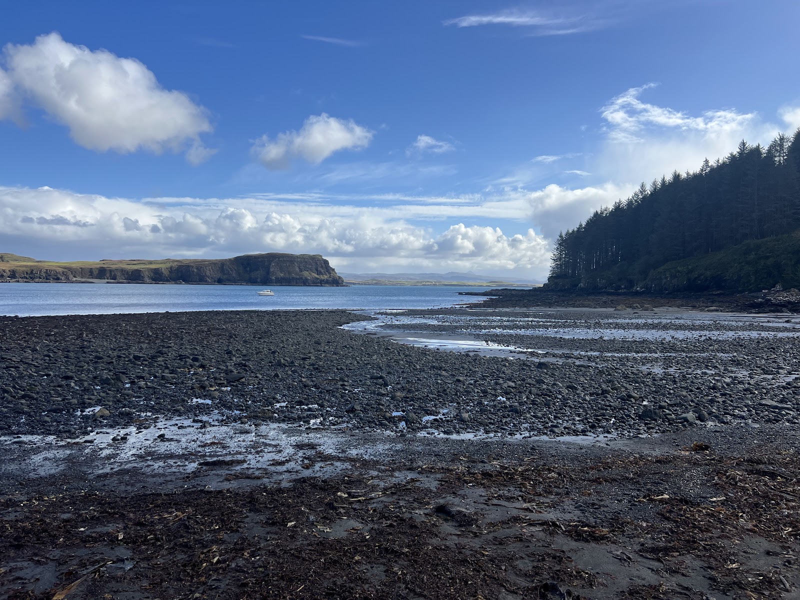 7 min by roadA walkDunvegan4 miles, about three hours
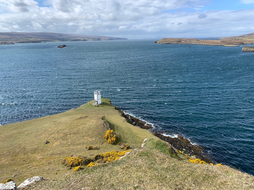 8 min by roadA strollUiginish Point1¼ miles, about two hours
Did this walk?
Tell the next person how it went. The best go on this page, with your name.
For further reading, before you go.
Photograph by The Lookout Skye via Google
Maps from OpenFreeMap © OpenMapTiles, data © OpenStreetMap contributors; heights from Mapzen's terrain tiles.