
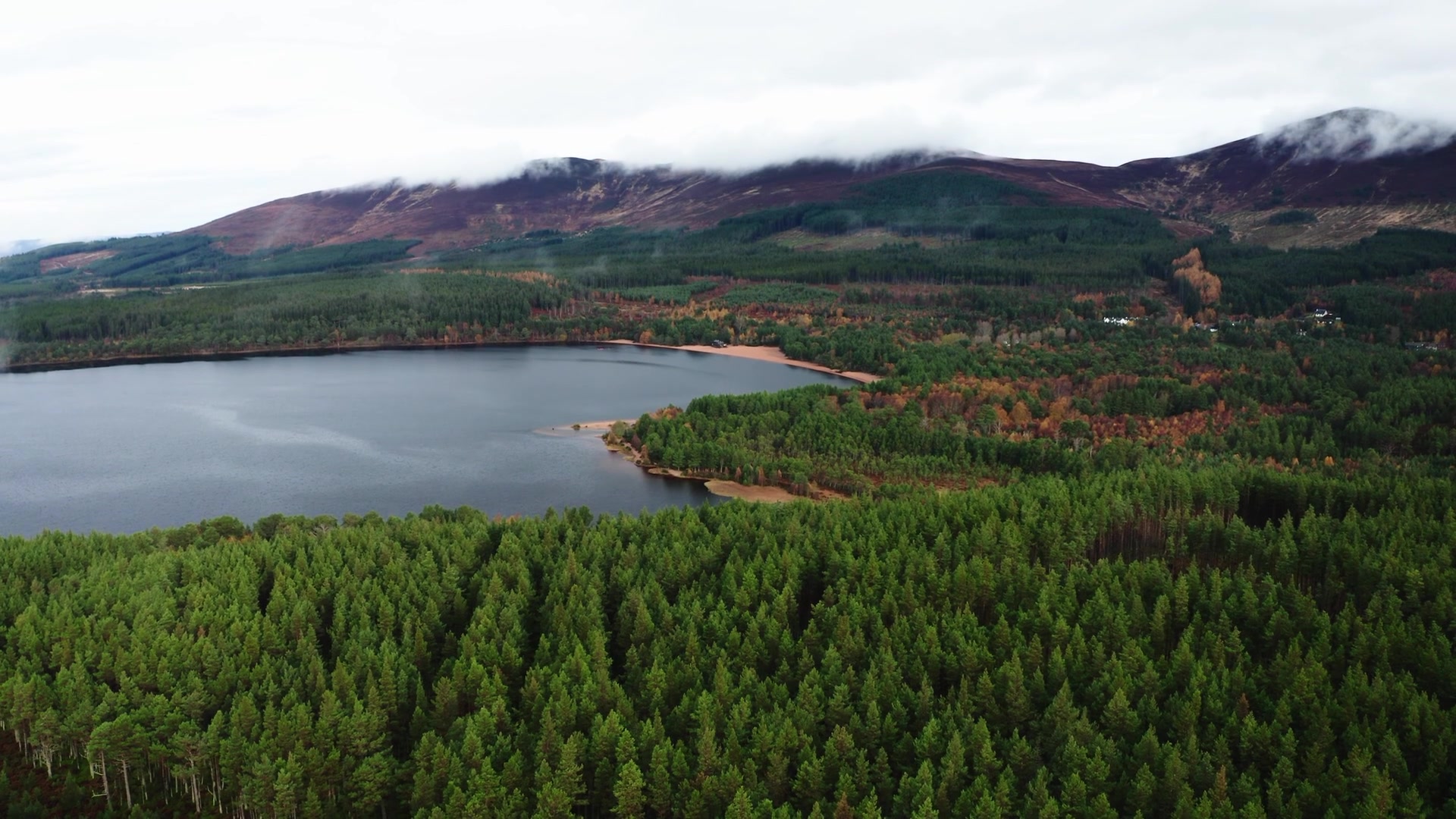
Loch Morlich – A Walk Round the Water and a Wartime Memorial
3½ miles · 2 hours · a loop
paid parking · dogs on a lead in nesting season · toilets
Loch Morlich lies among the pinewoods of Glenmore at the foot of the Cairngorms, and a waymarked trail takes you right round it, with the mountains rising above the water.
In the Second World War, Norwegian resistance fighters trained in secret in these woods and on this shore, and their memorial stands outside the Glenmore Visitor Centre, where the café is the place for lunch.
Where it starts
Start at the Highland Council's Beach car park at the east end of Loch Morlich (75 spaces), signed for Loch Morlich Watersports: pay and display 8am to 10pm every day, no staying overnight; Forestry and Land Scotland passes are not valid.
Is it for me?
Tap who is coming, or the day you have, for the answer on this walk.
Before you go
On the path
About two hours: the trail is 5.8 km. Mostly wide, smooth and flat gravel, with some uneven gravel and earth sections and muddy patches, short moderate slopes, one steep ramp and two road crossings. For children, a moderate 5.8 km circuit on mostly flat gravel. The map to carry is OS Explorer OL57, Cairn Gorm & Aviemore (1:25,000); OS Landranger 36, Grantown & Aviemore (1:50,000) shows the country round it.
Good to know
Any day of the week, all year. Dogs on a lead from 1 April to 31 August where signs ask, for ground-nesting birds. Toilets at the Beach car park, open 24 hours from 1 April to 31 October; in Glenmore village all year. No fires or barbecues anywhere at this site.
The walk
Park in the council's Beach car park at the east end of Loch Morlich, signed for Loch Morlich Watersports: £3 covers three hours and £5 the whole day. The Loch Morlich Trail sets off from the car park and goes right round the loch, 5.8 km (about 3½ miles) in about two hours, through the woods, with glimpses of the water and the mountains above. It is mostly wide gravel, with short slopes and one steep ramp.
There is a good chance of goldeneye and red-throated divers on the water, and even otters, and you can look out for dippers, wagtails and herons by the burns that feed the loch. This was a working loch once. By 1784 the Glenmore Company had set up a shipyard at the mouth of the Spey, and logs were stored on the loch until there was water enough to float them down to it.
The timber built 47 large ships before the company's contract ended in 1805, one of them named Glenmore.
If it rains
The walk is out of doors all the way, so bring waterproofs; the café at the end is under a roof.
Afterwards
6 min on foot
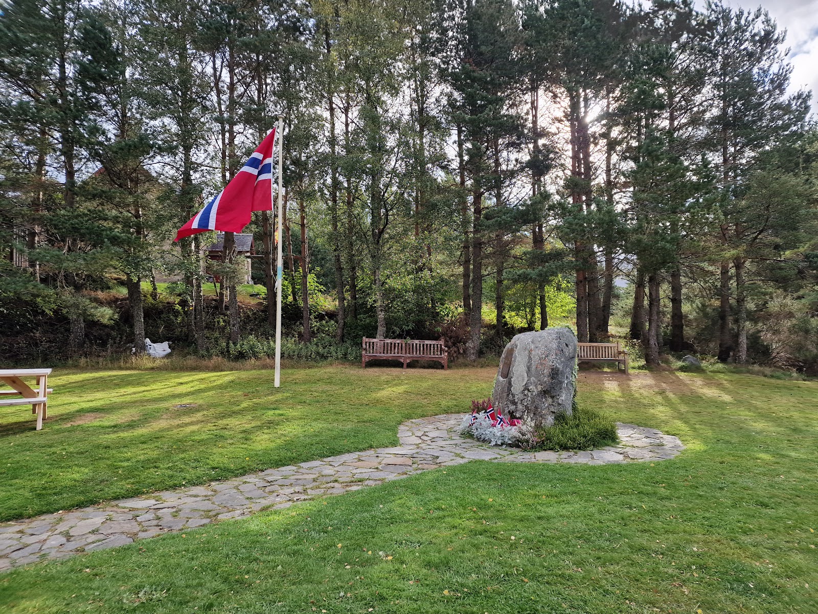
The Kompani Linge Memorial
It's 6 minutes' walk east from the car park, across the road, to the Glenmore Visitor Centre. Just outside it is the memorial to Kompani Linge, the Norwegian resistance fighters who were stationed in Glenmore in the Second World War. Part of the secret Special Operations Executive, they readied themselves here for raids on occupied Norway, in the forest and along the shore of the loch you have just walked round. The stone was put up by the people of Badenoch in 1973, for the Norwegians who lived among them and trained in these mountains from 1941 to 1945; the plaque names their raids and says 37 men of the company gave their lives.
6 min on foot
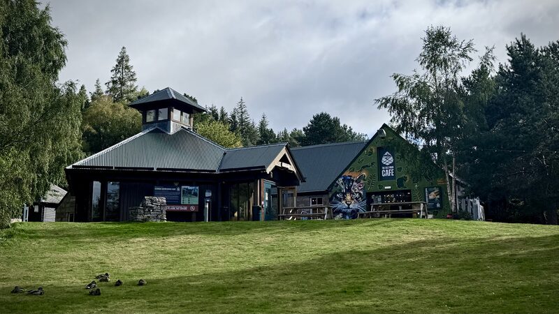
Allt Mor Café
Lunch
Lunch is a few steps away in the Allt Mor Café, inside the visitor centre, which the Aviemore and Glenmore Community Trust has owned since November 2024. It serves coffee, cake, breakfast rolls and lunches, and it opens every day: 10am to 4pm from November to March, and 9am to 5pm from April to October, with any changes posted on its social media. Dogs are welcome inside, there's seating outdoors too, and the toilets, accessible ones among them, are in the café. The Beach car park is 6 minutes' walk back, which brings the walking to about 4.2 miles in all.
After the walk
Coffee and cake, something to do with the rest of the day, and dinner, nearest the end of the walk first.
Straight after
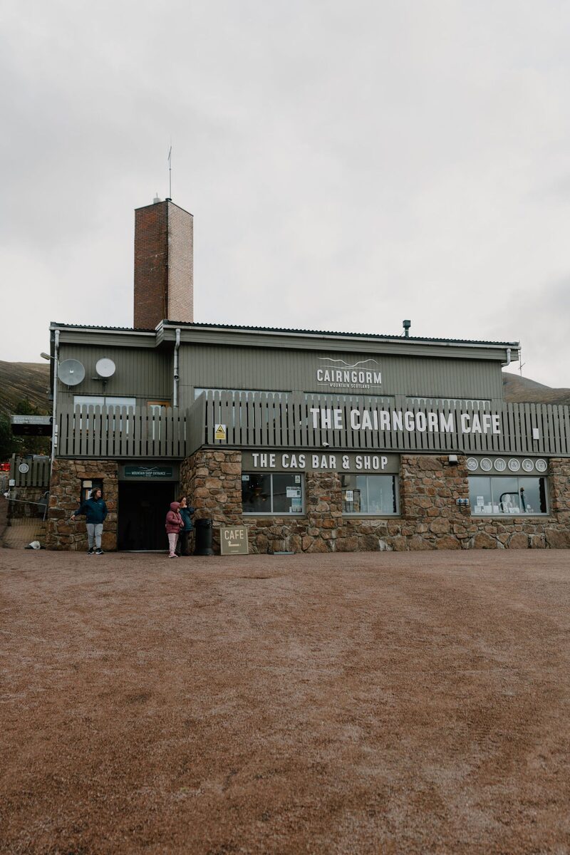 9 min by roadA caféCairngorm CaféThe café at the foot of Cairngorm Mountain, with wood-burning fires, a terrace over the hills and hot food after a day on the hill.
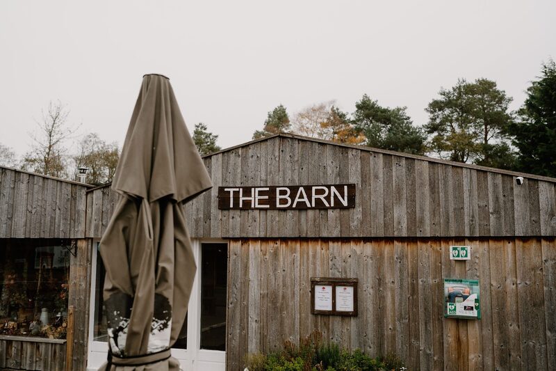 10 min by roadA caféThe Barn at RothiemurchusThe café at the Rothiemurchus Centre by Aviemore, with a wood-burning stove, Cullen skink and cheese scones, and a corner for dogs.
 19 min by roadA caféRoute 7 CaféA family café upstairs on the Dalfaber estate at the edge of Aviemore, with hearty food, lighter dishes and a welcome for dogs.
With the rest of the day
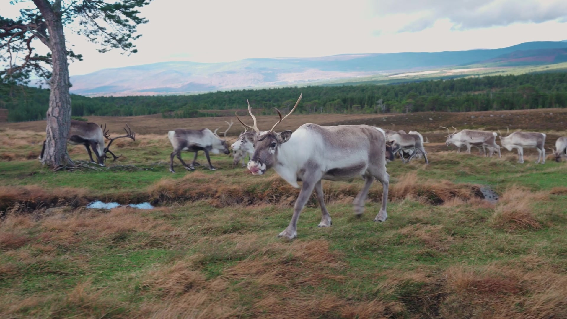 1 min by roadThings to doCairngorm Reindeer CentreBritain's only free-ranging reindeer, on the Cairngorm slopes above Glenmore, brought back in 1952, with guided Hill Trips most days.
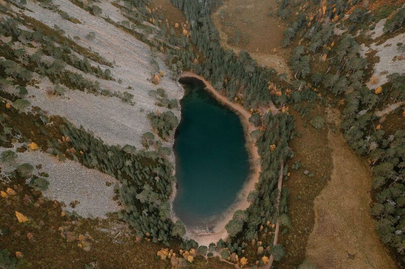 2 min by roadThings to doAn Lochan UaineThe green lochan of the Ryvoan Pass above Glenmore, reached by the Ryvoan Trail from the visitor centre and said to be the fairies' washing place.
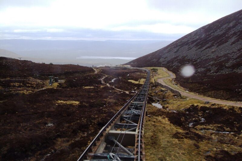 9 min by roadThings to doCairngorm MountainScotland's only mountain railway, climbing to the Ptarmigan Top Station at 1,097 metres, home of the UK's highest restaurant, above Glenmore.
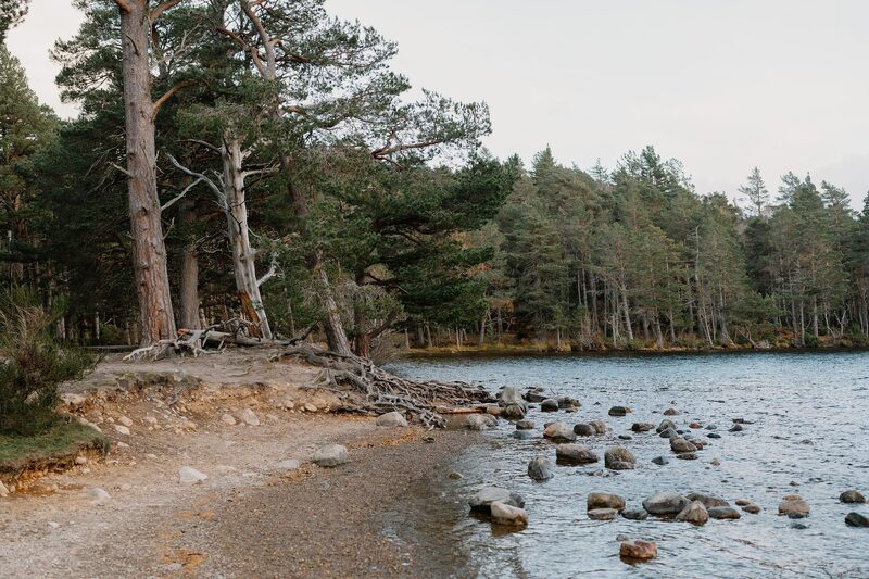 10 min by roadThings to doRothiemurchusA Highland estate of ancient pinewood, lochs and hill by Aviemore, cared for by the Grant family since the 16th century.
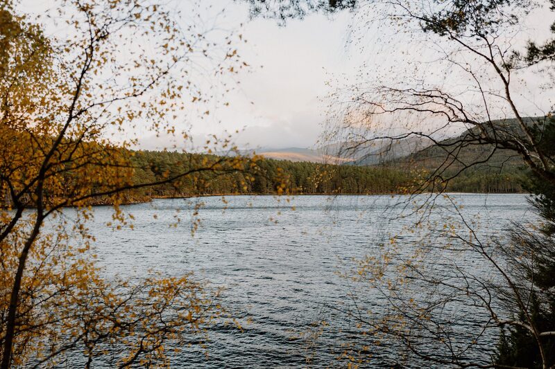 13 min by roadThings to doLoch an EileinA loch in the Rothiemurchus pinewoods, with a castle ruin on its island and a three-mile path round the shore.
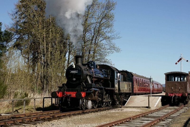 13 min by roadThings to doStrathspey RailwayHeritage steam trains through the Spey Valley from Aviemore to Boat of Garten and Broomhill, running since 1978.
For dinner
The Old Bridge Inn in Aviemore, 12 minutes by road. A pub on the bank of the Spey in Aviemore, once a gamekeeper's cottage, with a log fire, seasonal cooking and dinner every evening.

La Taverna in Aviemore, 12 minutes by road. A family-run Italian restaurant and pizzeria at the south end of Aviemore, facing the Cairngorms, open Thursday to Monday.
Delaneys' in Aviemore, 15 minutes by road. A small-plates restaurant on Aviemore's Grampian Road, opened in 2024, cooking with Speyside meat and local fish, with dinner every day except Thursday.
Places to stay near the walk
Our places to stay nearest the start, by road.
An advert · Nethy Bridge
East Dell
The most tucked-away cottage at the Dell of Abernethy near Nethy Bridge, for five, with a garden that catches the morning sun.
Sleeps 5 · 25 minutes by road
See East Dell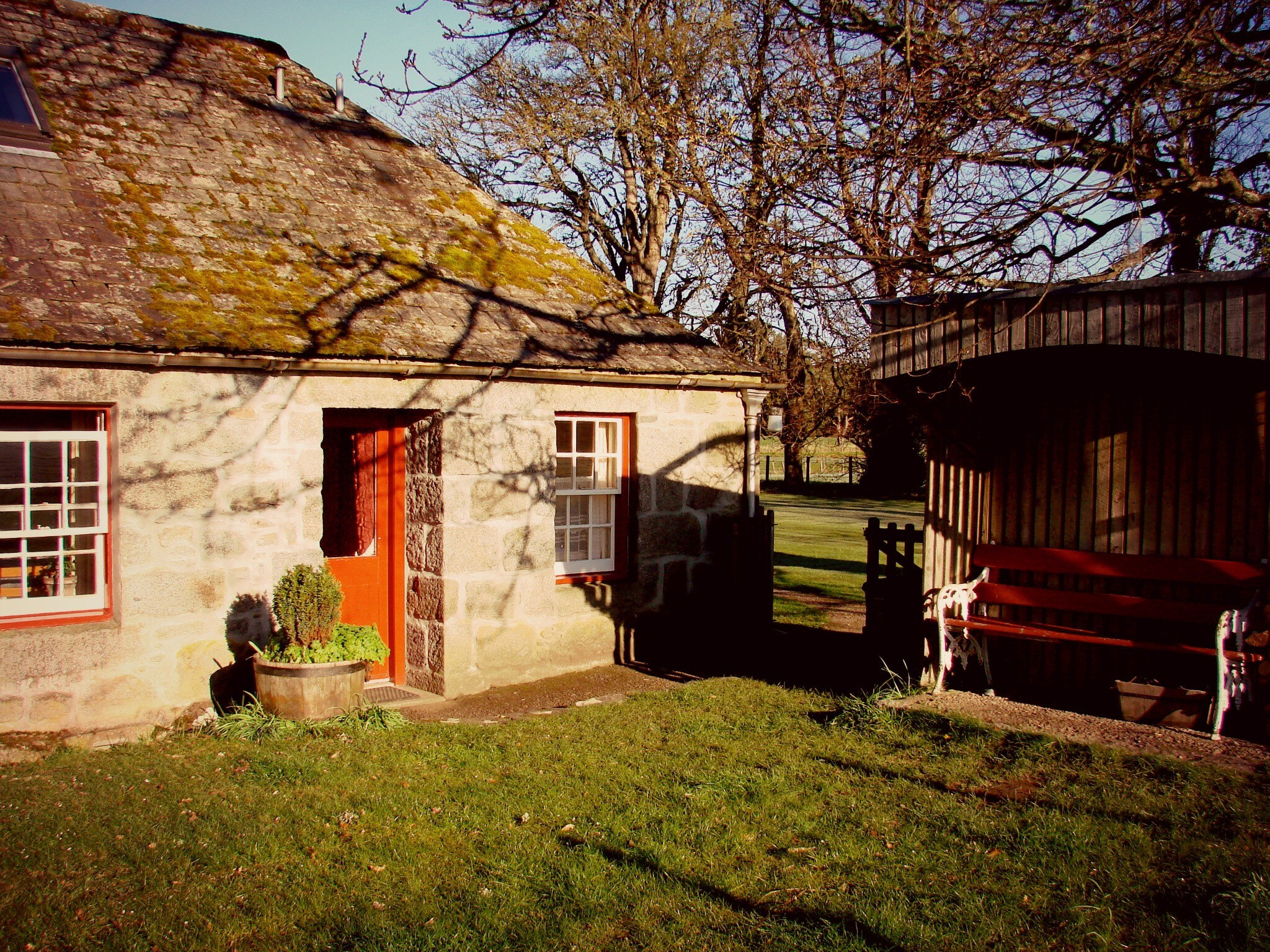
More places to stay near the walk
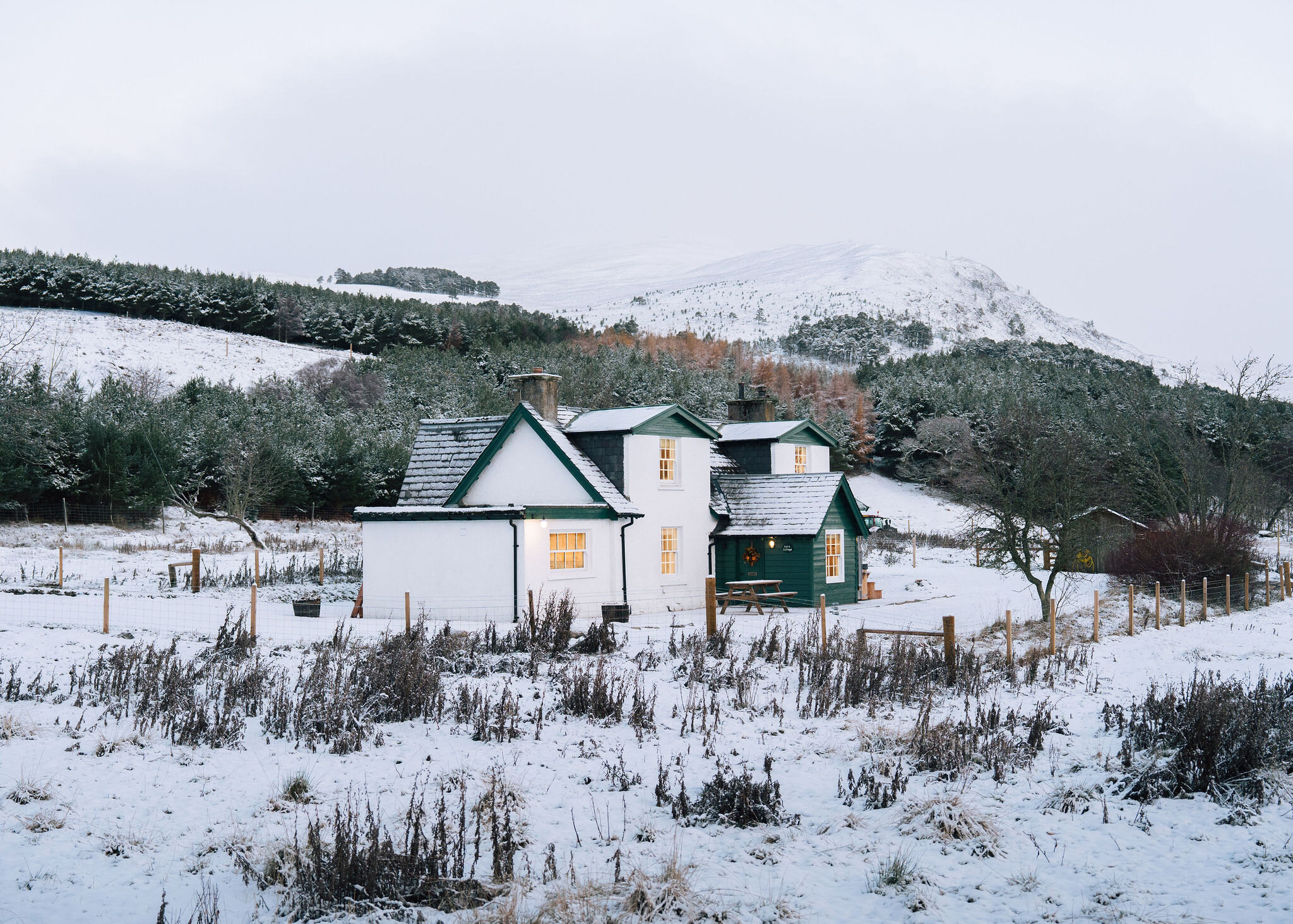 An advert · KincraigPark CottageSleeps 6 · 21 minutes by road
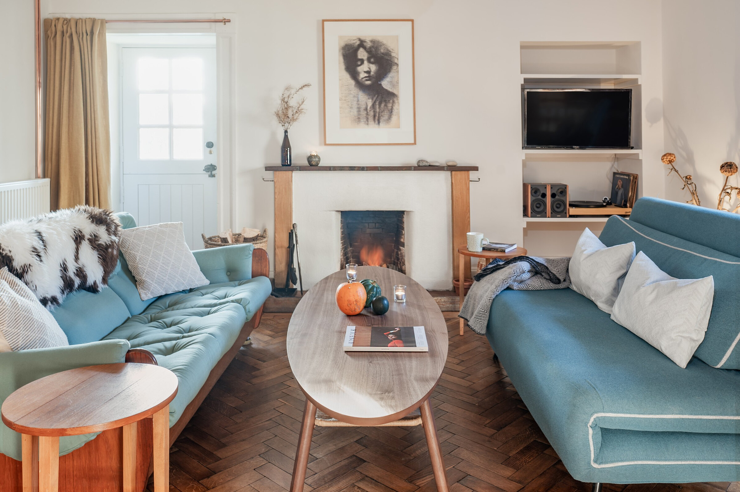 An advert · Nethy BridgeDell CottageSleeps 2 · 25 minutes by road
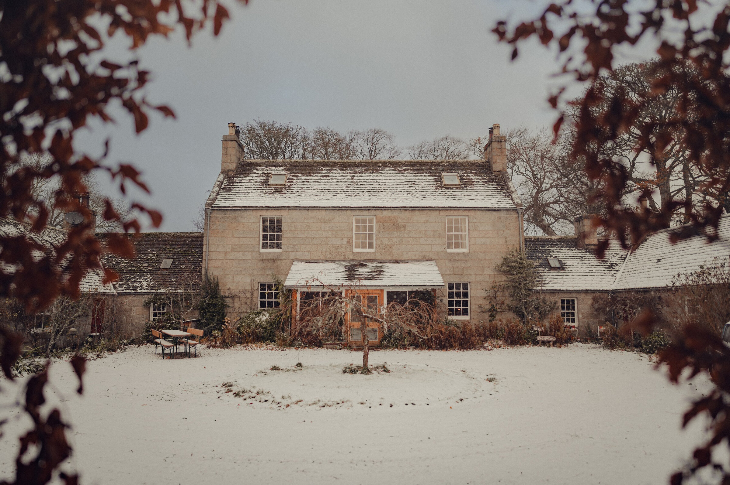 An advert · Nethy BridgeDell LodgeSleeps 8 · 25 minutes by road
 An advert · Nethy BridgeLittle DellSleeps 2 · 25 minutes by road
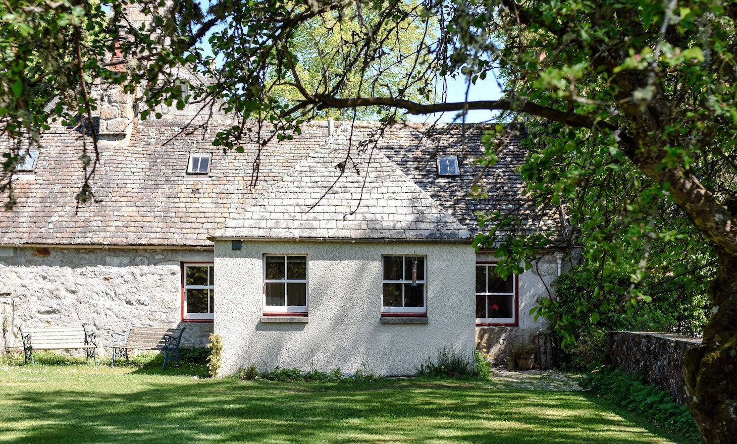 An advert · Nethy BridgeSouth DellSleeps 6 · 25 minutes by road
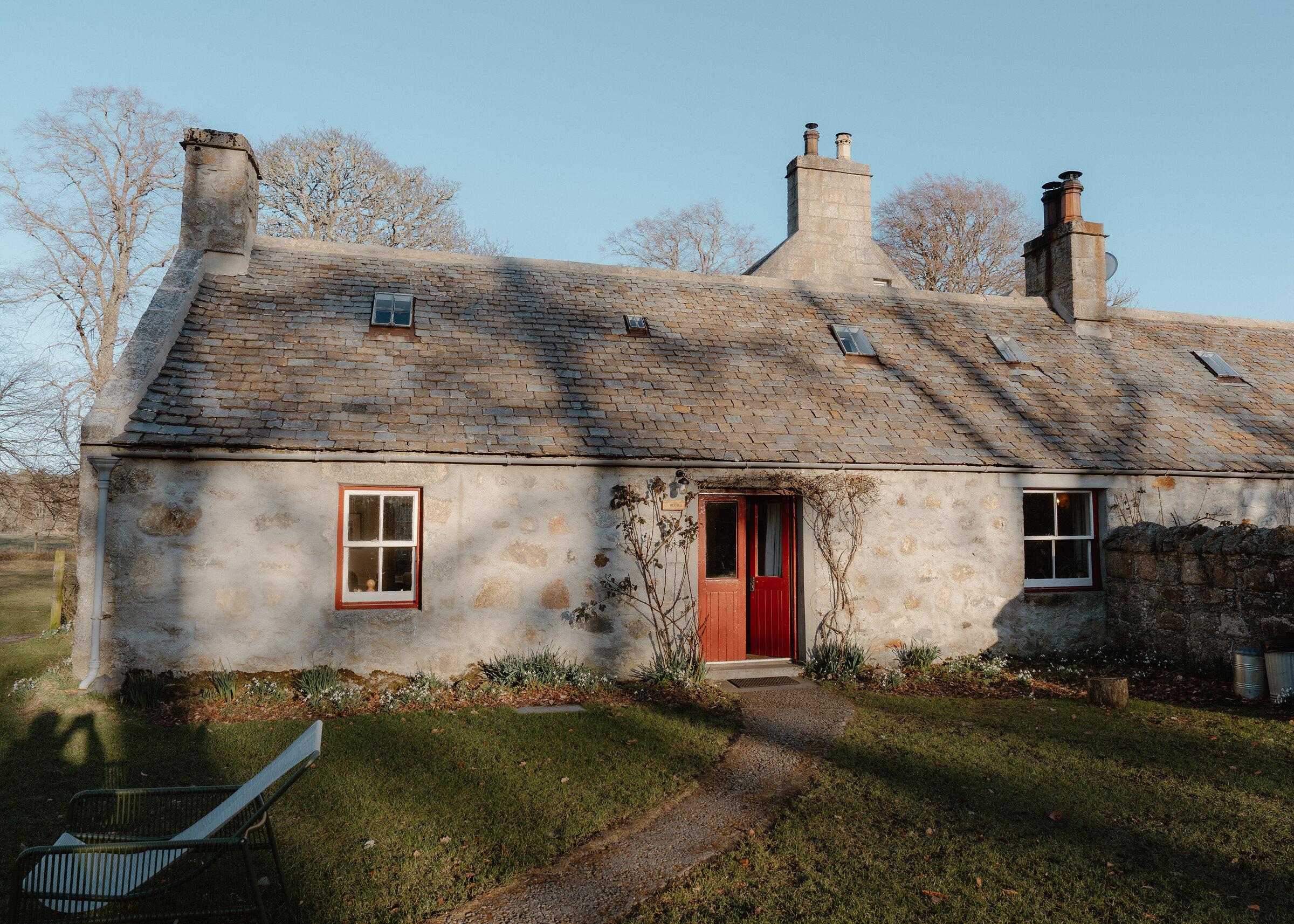 An advert · Nethy BridgeWest DellSleeps 6 · 25 minutes by road
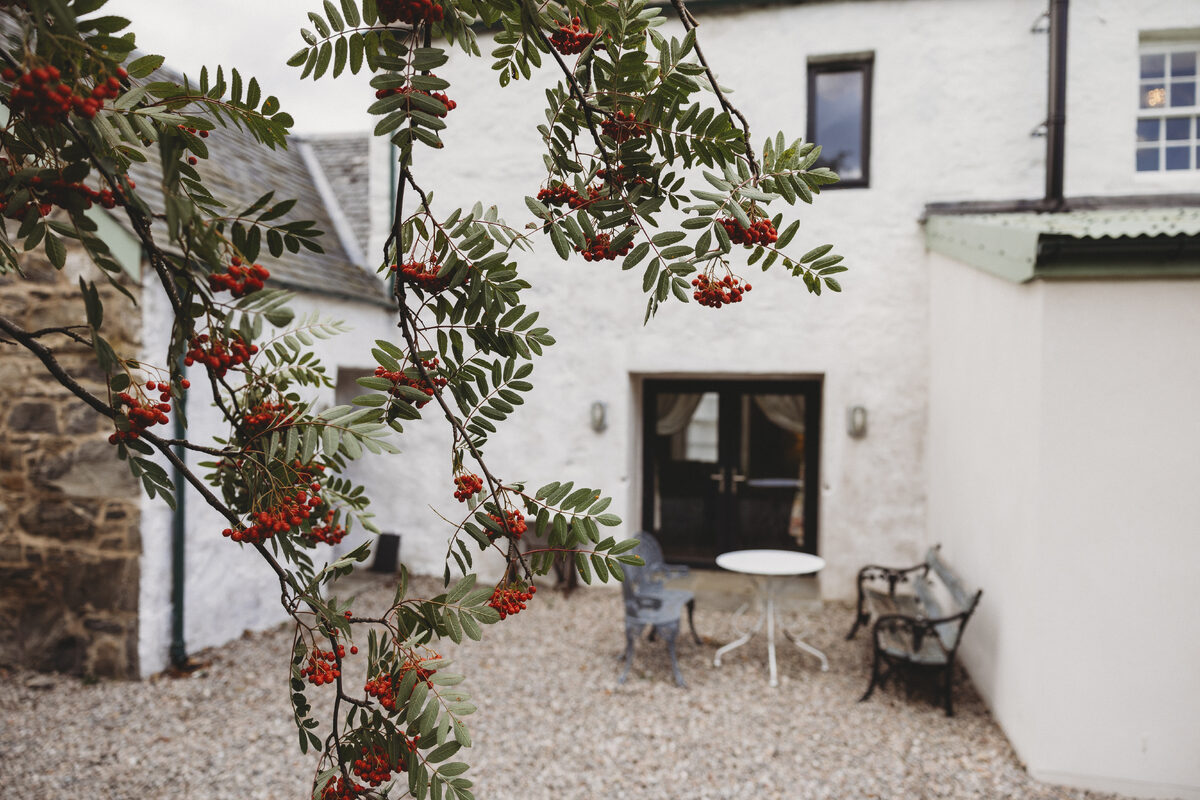 An advert · KingussieCairngorms Church Hill HouseSleeps 4 · 27 minutes by road
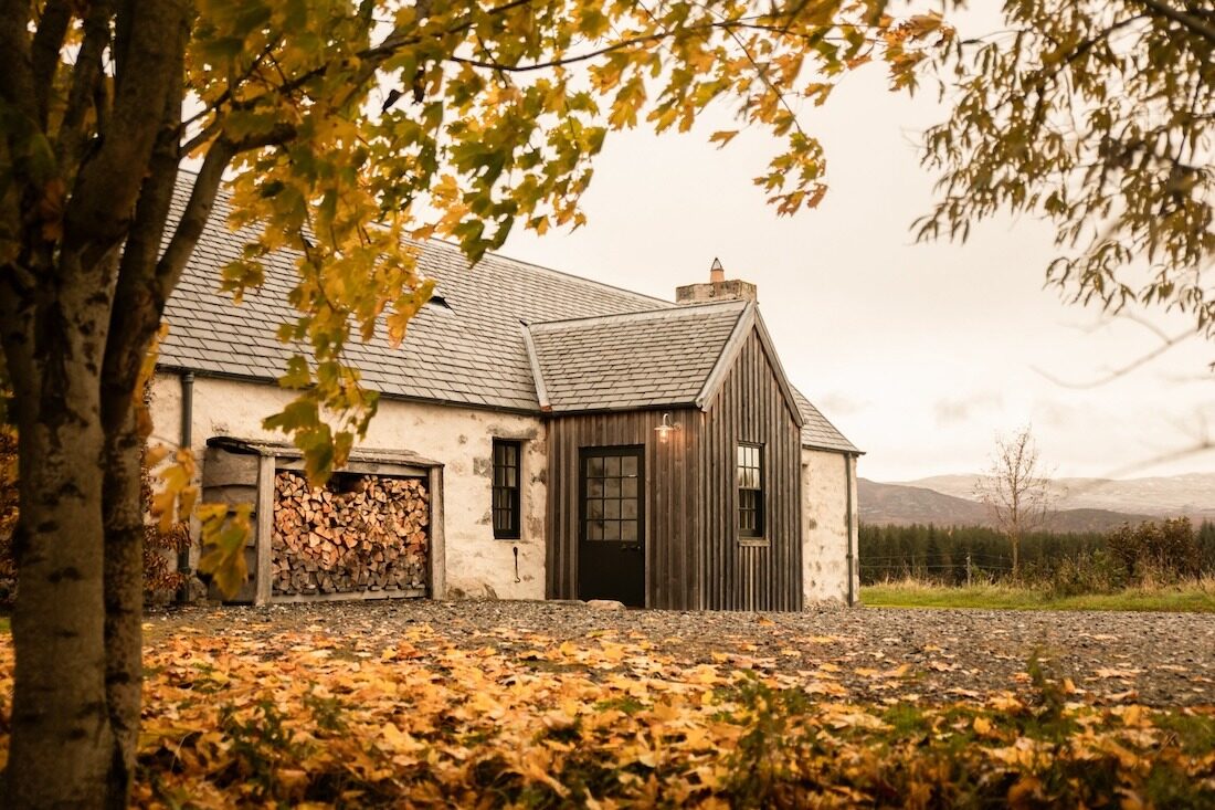 An advertGeordie’s CottageSleeps 5 · 29 minutes by road
 An advertKilliehuntly BothySleeps 4 · 29 minutes by road
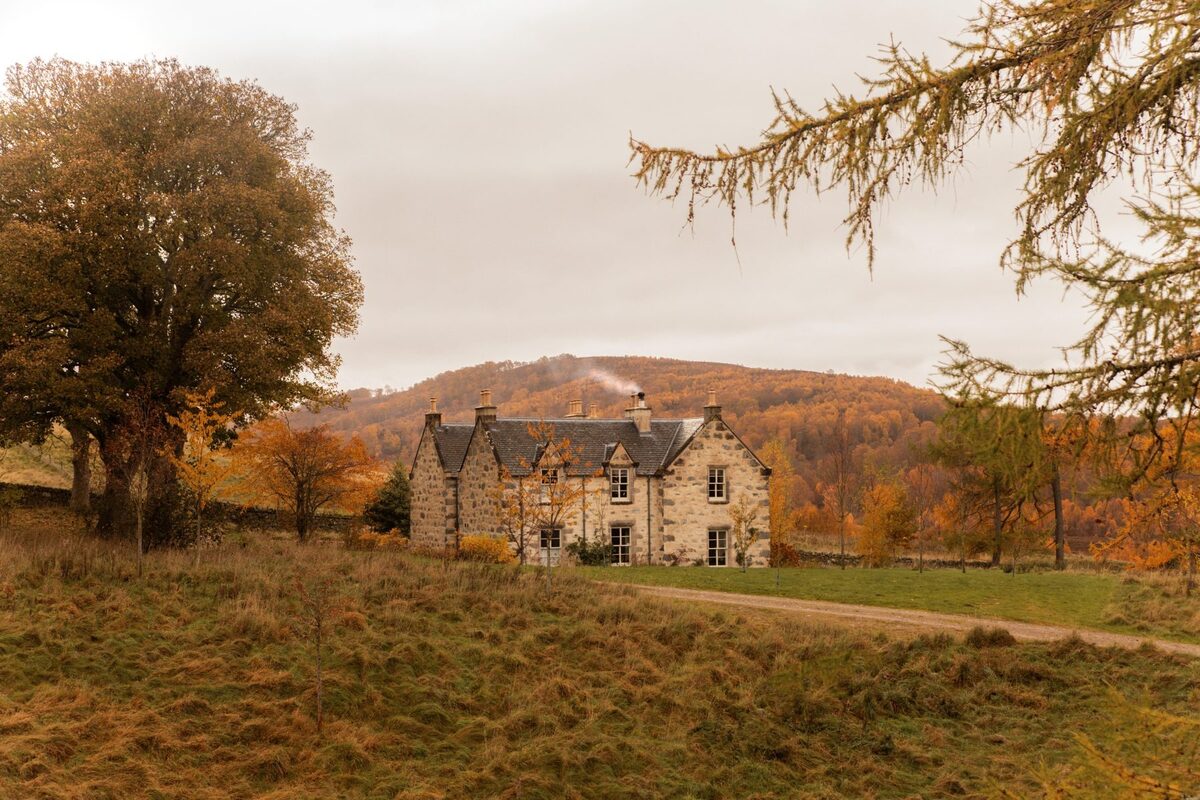 An advertKilliehuntly FarmhouseSleeps 10 · 29 minutes by road
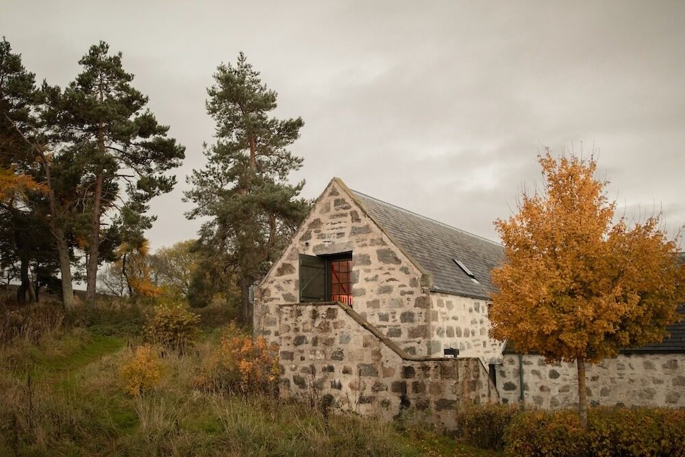 An advertThe HayloftSleeps 2 · 29 minutes by road
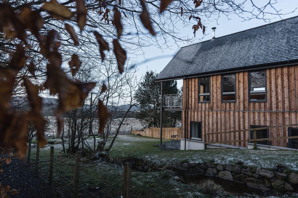 An advert · CarrbridgeStrathspey LodgeSleeps 8 · 30 minutes by road
More walks near here
Within a short drive of the start.
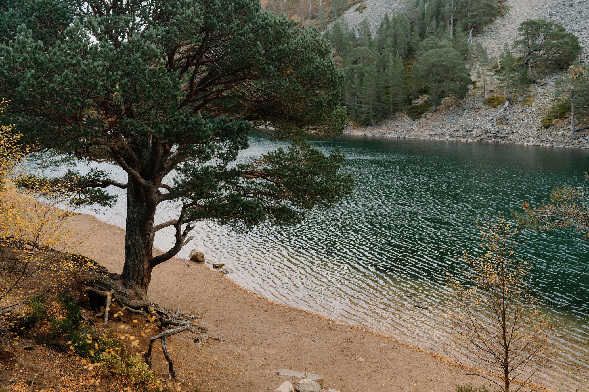 1 min by roadA walkThe Green Lochan3½ miles, about two and a half hours
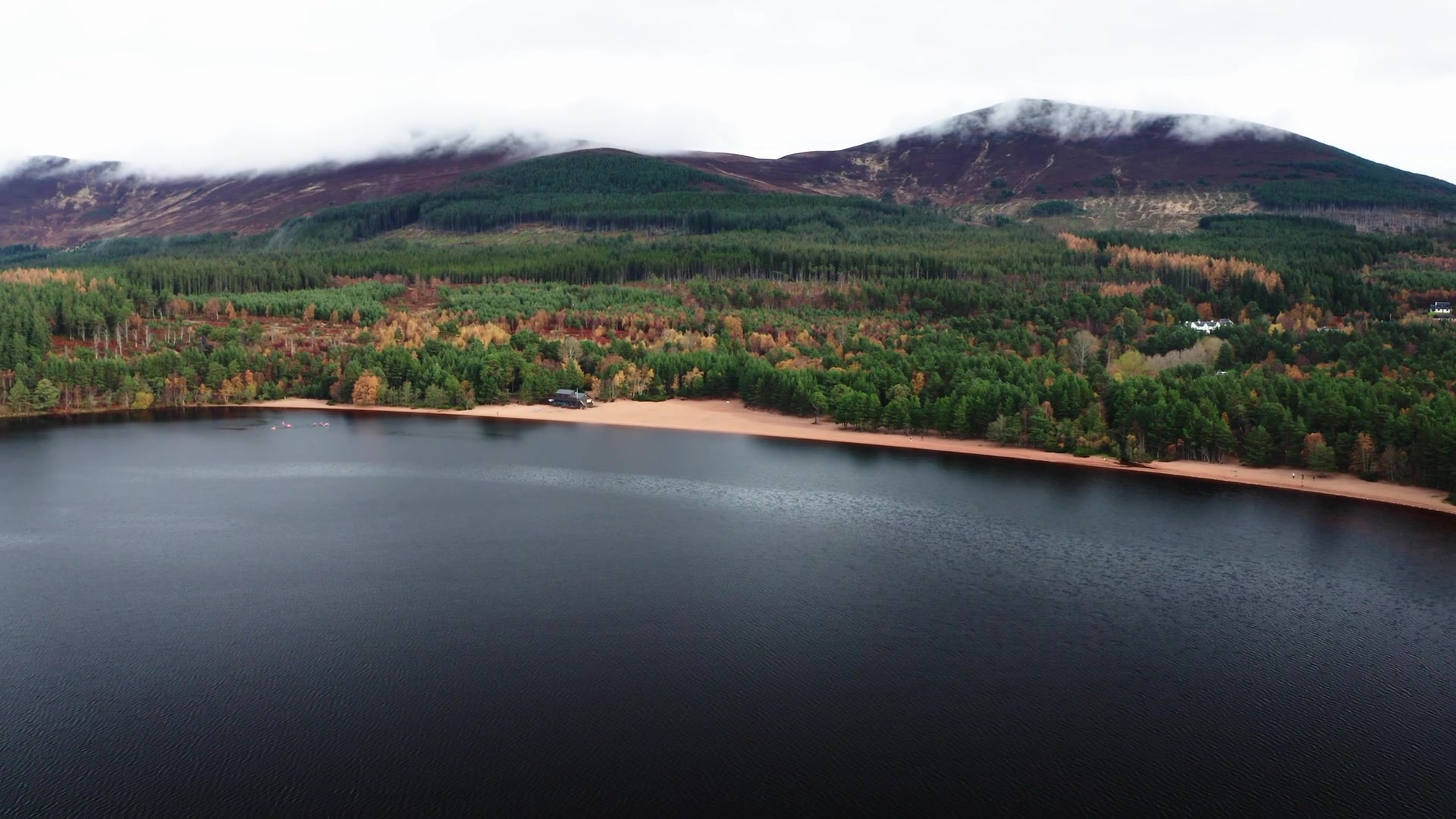 10 min by roadA long dayThe Old Logging Way5½ miles, about 3¾ hours, one way
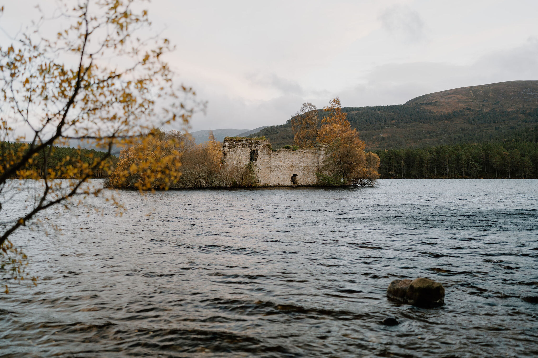 13 min by roadA walkLoch an Eilein3 miles, an hour to an hour and a half
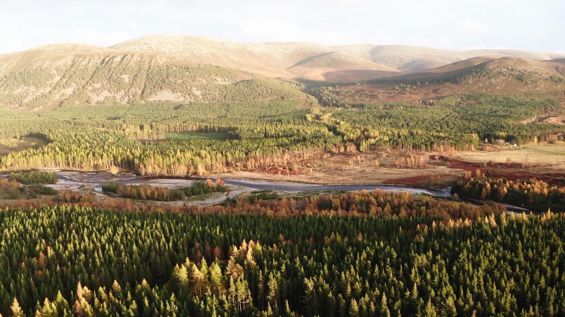 18 min by roadA walkRiver Feshie1¼ miles, about an hour
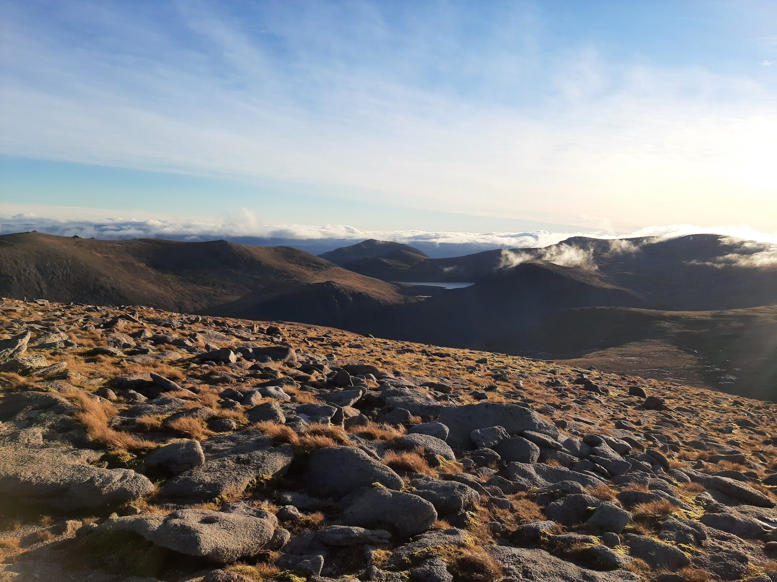 9 min by roadA hillCairn Gorm2¾ miles, about five hours
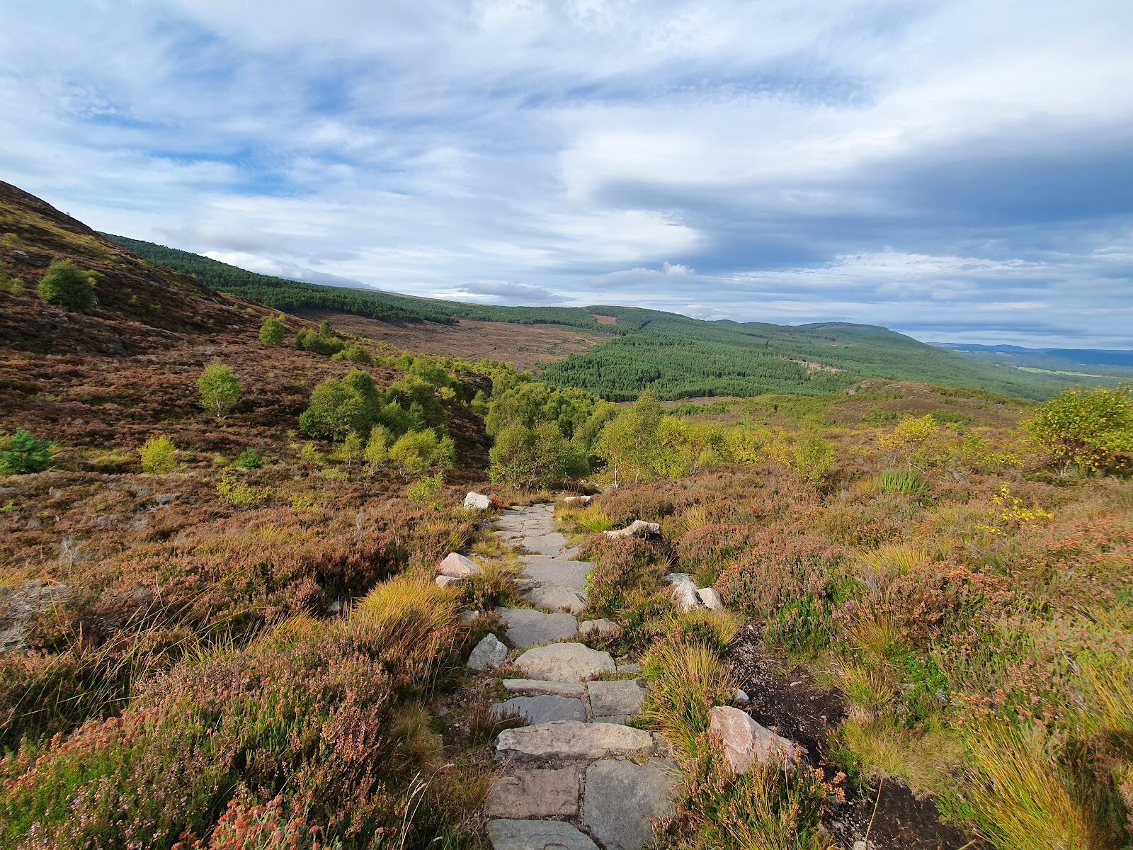 13 min by roadA hillCraigellachie2¾ miles, about two hours
Did this walk?
Tell the next person how it went. The best go on this page, with your name.
For further reading, before you go.
- Loch Morlich trails, Forestry and Land Scotlandforestryandland.gov.scot↗
- Glenmore Forest Park route card, Forestry and Land Scotlandforestryandland.gov.scot↗
- Heritage in Glenmore Forest Park, Forestry and Land Scotlandforestryandland.gov.scot↗
- Glenmore Visitor Centre and Allt Mor Caféglenmorevisitorcentre.com↗
- Path closures, Cairngorms National Parkcairngorms.co.uk↗
Photographs by Vicky Dunbar and Matt Hart via Google
Maps from OpenFreeMap © OpenMapTiles, data © OpenStreetMap contributors; heights from Mapzen's terrain tiles.