
Caithness. Caithness guide
Big skies, sea stacks and clifftop castles at the top of the mainland, from Wick to Dunnet Head.
The four parts of Caithness
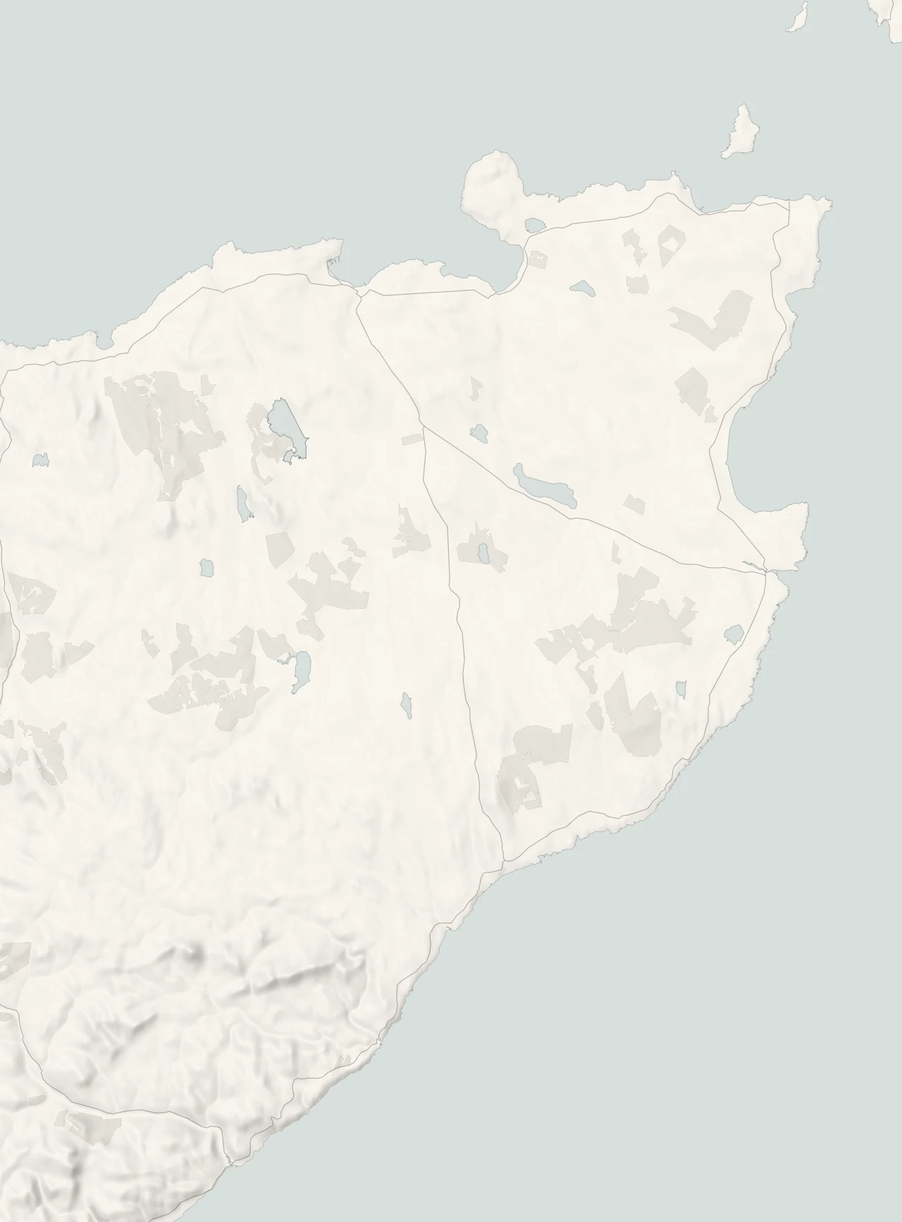
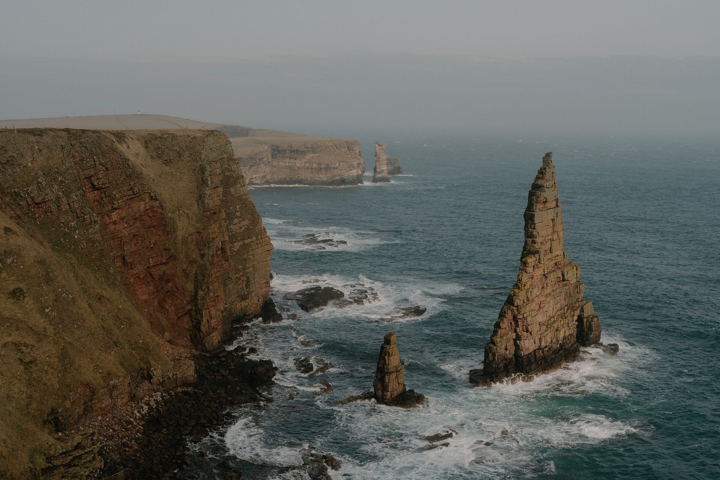
Caithness is a place on the edge. Roughhewn cliffs and windswept gorse characterise this far-flung corner of the map, the so-called ‘Land Beyond the Highlands’, the place where the north-eastern tip of the mainland reaches out into the wild waves of the North Sea. It’s a region where the rocks, moors and hills have an elemental rawness to them, a semi-mystical feel that can sometimes make the whole headland seem closer in spirit to Orkney and Shetland – both of which lie off its coast – than to the rest of the country.
Wick and the east coast
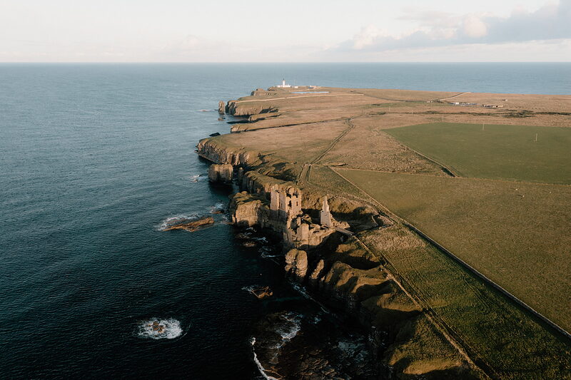
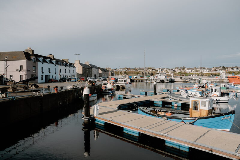
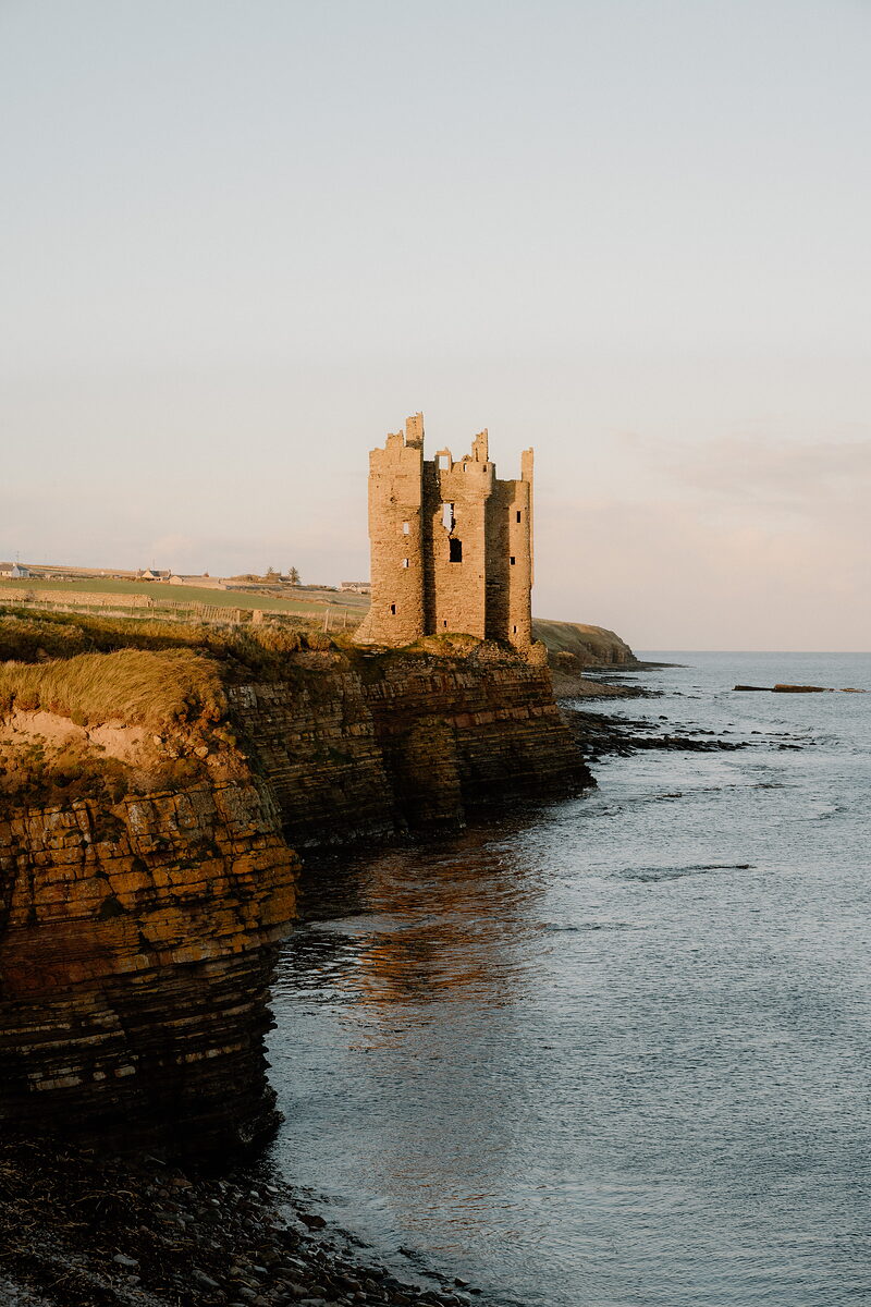
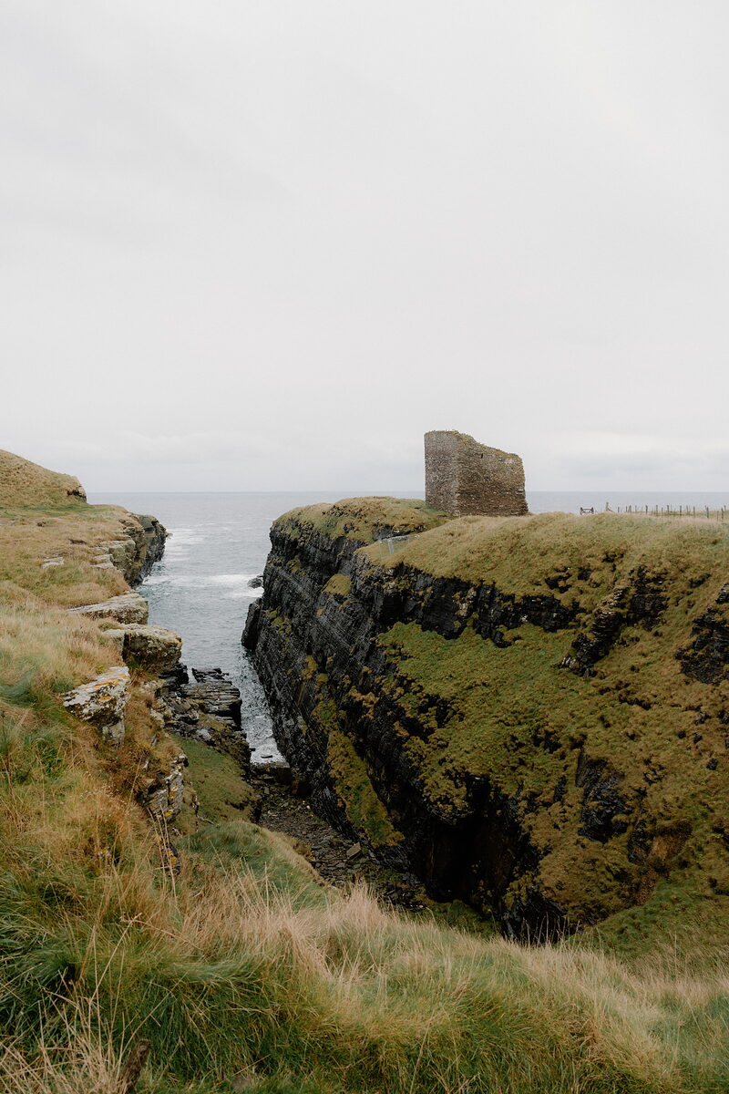
Wick grew rich on herring, and its harbour and Telford's Pulteneytown still tell that story, along with the Old Pulteney distillery and the world's shortest street. On the cliffs to the south stand the Castle of Old Wick and the Brig o' Stack, and to the north Castle Sinclair Girnigoe, Noss Head lighthouse and the long sands of Sinclair's Bay.
John o' Groats and Duncansby
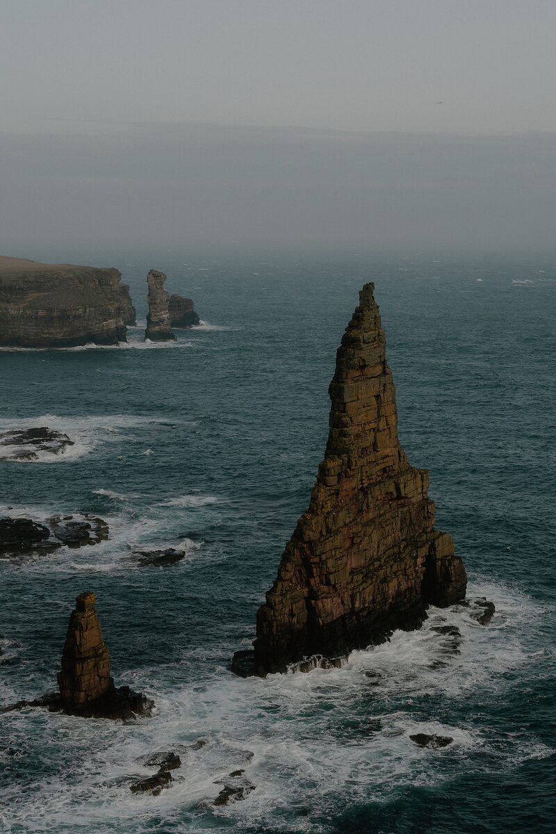
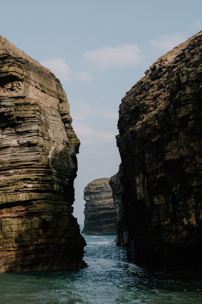
John o' Groats is the end of the road from Land's End, with its famous signpost, a little harbour and boats across to Orkney in summer. Walk on to Duncansby Head for the lighthouse and the great stacks off the cliffs, look for seals in the Bay of Sannick, and visit the Queen Mother's Castle of Mey along the Pentland Firth.
Thurso and the north coast
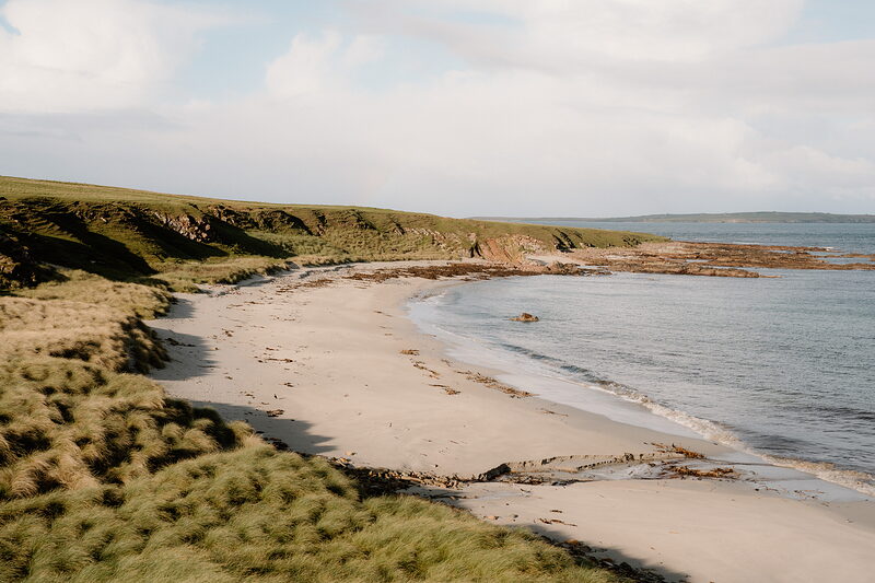
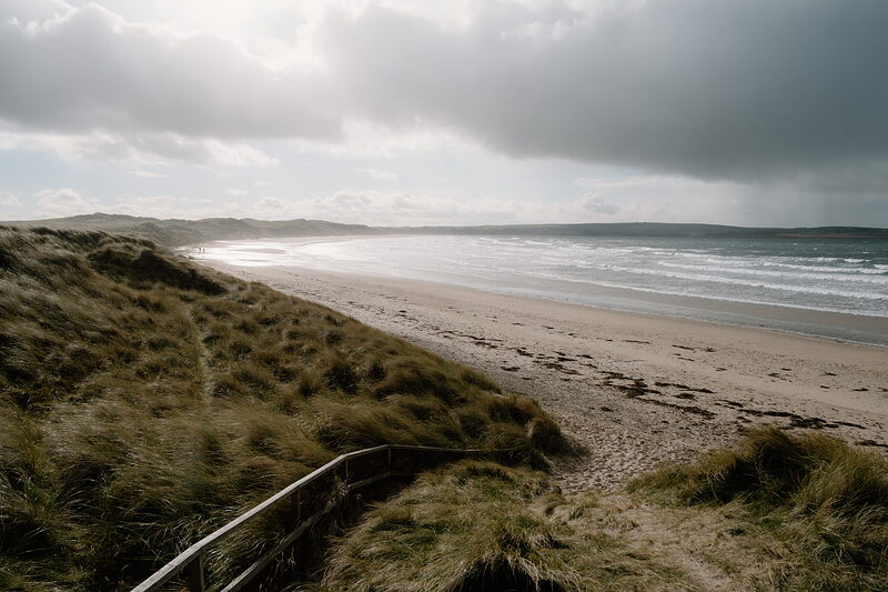
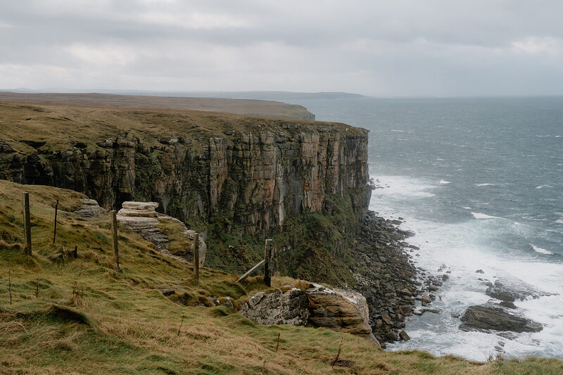
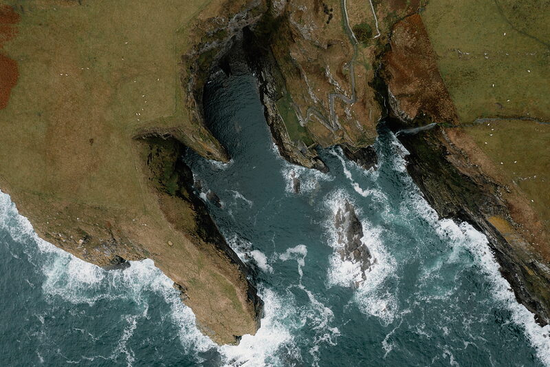
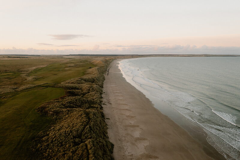
Thurso is the mainland's most northerly town, with Scrabster's harbour and the ferry to Orkney just beyond it. East along the coast, Dunnet Bay has two miles of white sand and surf, and Dunnet Head is the most northerly point of mainland Britain, with puffins on its cliffs. West towards Sutherland, deep geos cut into the striped cliffs at Drumhollistan.
Lybster and the south
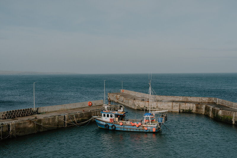
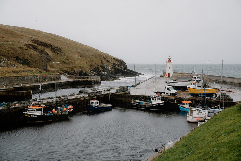
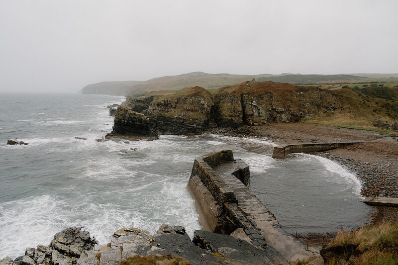
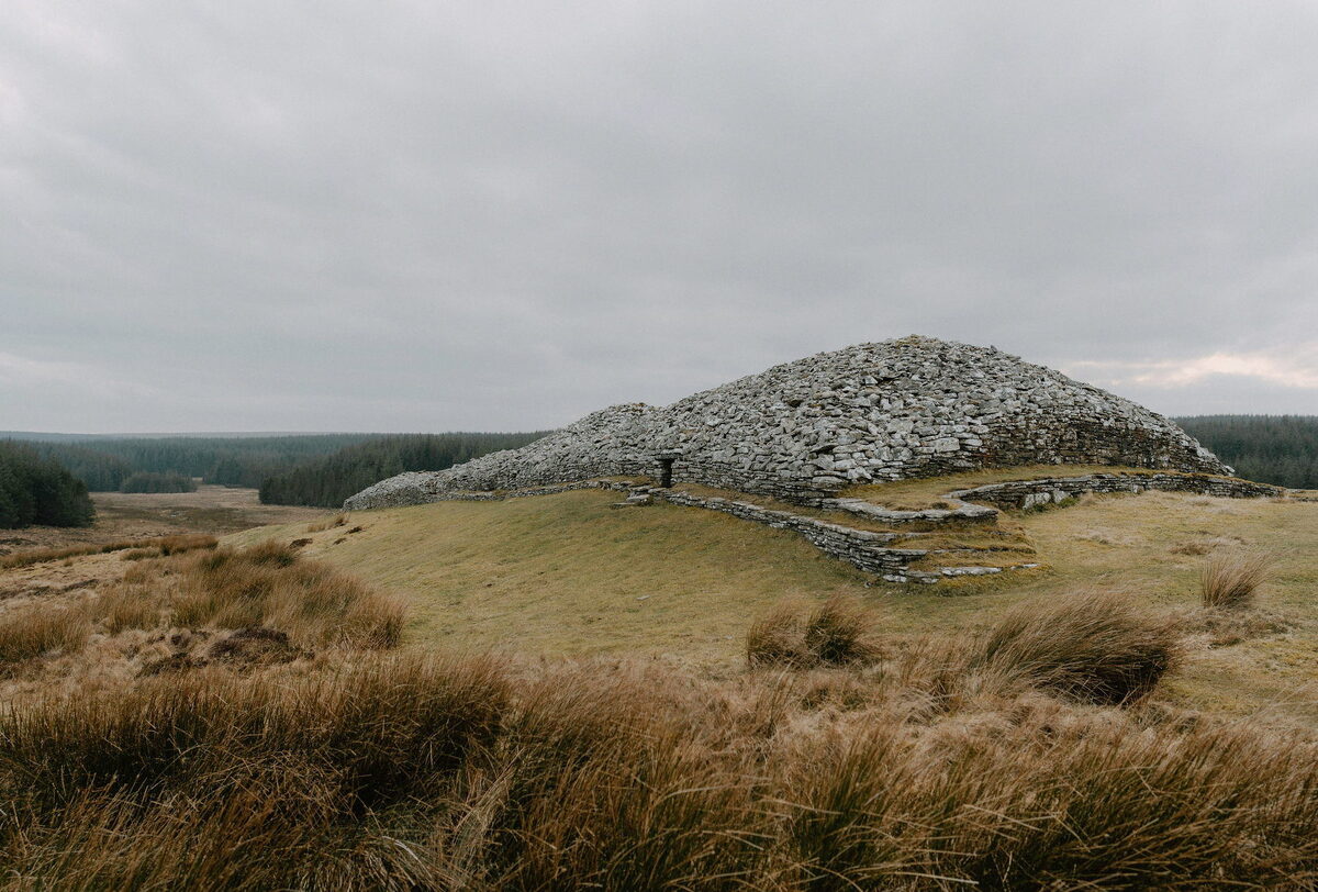
South of Wick, the Whaligoe Steps zigzag down the cliffs to a tiny natural harbour. Lybster was built as a fishing village, with a stone harbour and a little lighthouse, and inland you'll find the Grey Cairns of Camster, more than 5,000 years old, and the rows of the Hill o' Many Stanes. Dunbeath has its white castle and its old herring harbour.
Best known for.
Viking history, fishing harbours and a sense of faraway adventure. To the average traveller, John O’Groats is a more famous name than Caithness itself, which says something about the region’s place in public consciousness. But for those who make the effort to journey here – and its position on the North Coast 500 route means there are plenty who do – the rewards are substantial.
More about Caithness
But while this is a remote land almost entirely bound in by the sea – the only exception being its western edge, which forms a land boundary with neighbouring Sutherland – its human history is pronounced. Today some 25,000 people live up here, concentrated on the small towns of Wick and Thurso and a scattering of smaller villages and coastal settlements, among them the iconic outpost of John O’Groats. Edinburgh feels a long way away indeed.
This is, however, no mountainous retreat – instead you’ll find jagged sea stacks, stony outcrops and rolling farmland, as well as a character and prehistory that is very much Caithness’ own. Its location also means there’s plenty of Norse heritage to explore. Back in 2016, when a new county flag was unveiled, the chosen design centred on a blue and gold Nordic cross – blue for the sea, gold for the beaches – on a black background that represents the dark local stone. In the corner of the flag, meanwhile, stands a galley, its sails billowing, providing a reminder that the local gaze remains a seaward one.
What would you like to look at?
 See and doCastles on the cliffs, steps and cairns
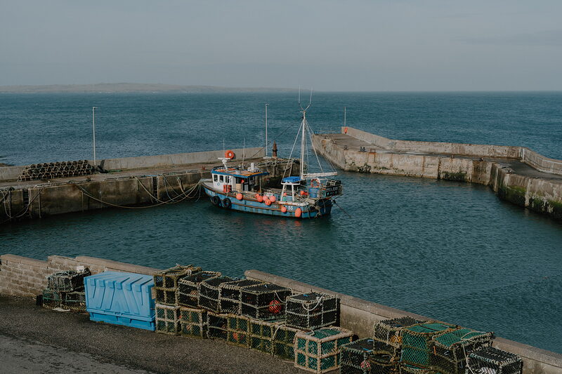 Eat, drink and shopSeafood by the harbour and a French kitchen
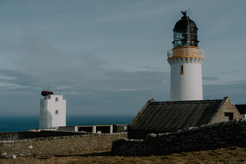 Where to stayLighthouse cottages and rooms by the sea
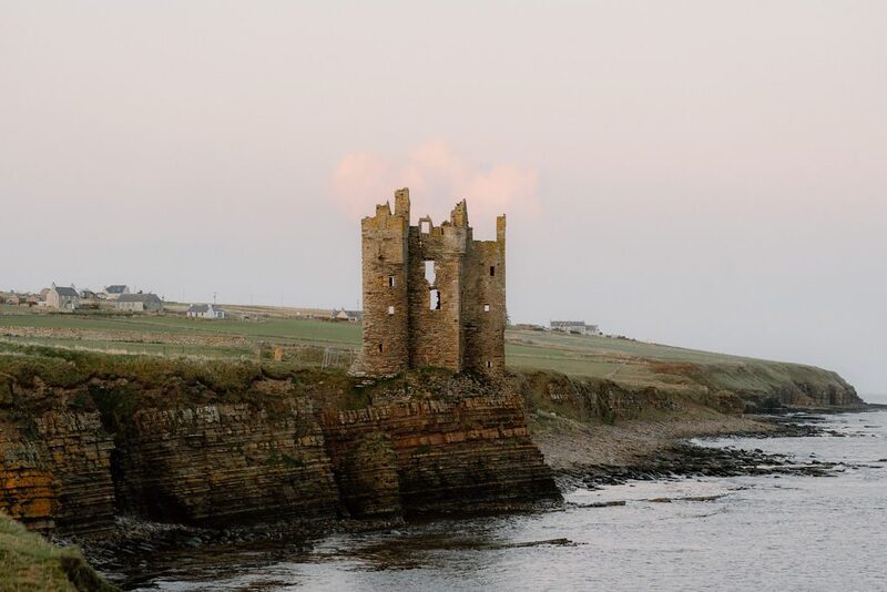 History and storiesBrochs, Vikings and the herring boom
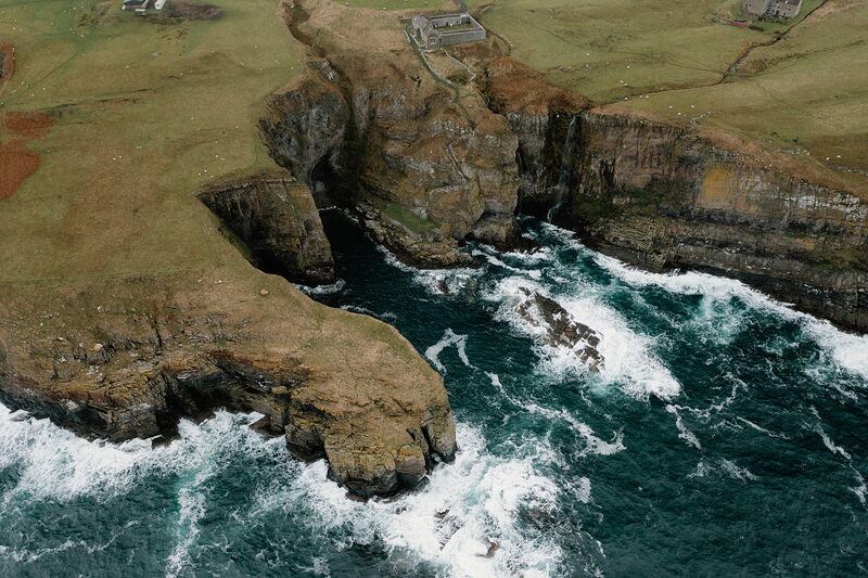 ItinerariesDays we have driven, stop by stop
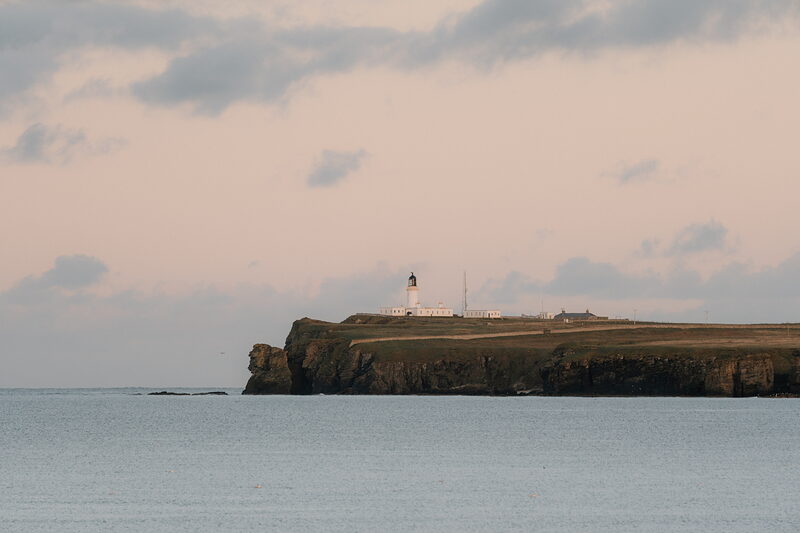 Getting hereThe Far North Line, the A9 and the Orkney boats
 What is on in CaithnessSomething new from the region every day
What is on in Caithness
Friday the 16th of October.
Sunrise 07:51, sunset 18:05.
Things you might not know.
Graeme Johncock
Graeme is the writer and storyteller behind Scotland’s Stories, sharing Scotland’s traditional folklore and legends.
Possession of the Isle of Stroma was disputed by the Earls of Orkney & Caithness. Since it was widely accepted that snakes lived on the mainland, but not Orkney, legend says that the Earl of Caithness shipped the reptiles in to prove that Stroma was his.
Find out moreThe Flow Country is an enormous area of peat bog and at roughly 4000 sq km, it’s the largest in Europe.
Find out more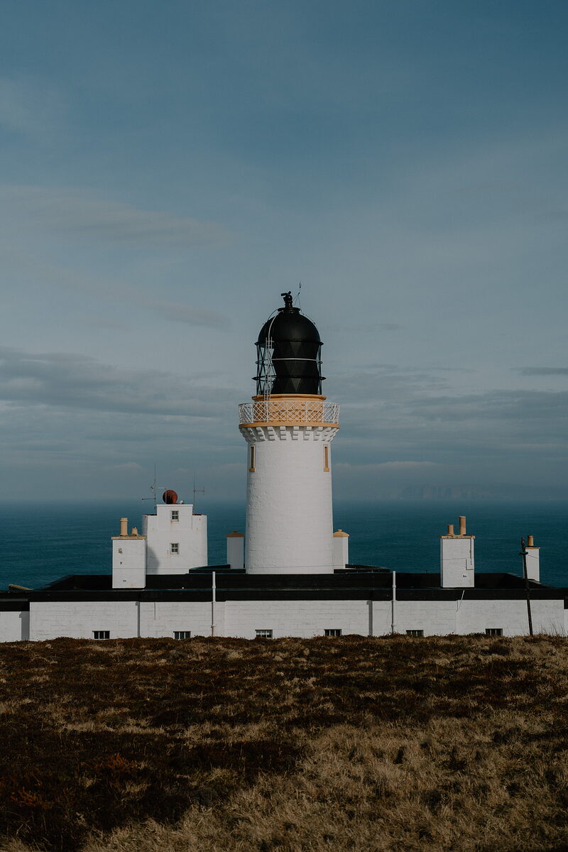
While John O’ Groats is world-famous, Dunnet Head is actually the most northerly point of the British mainland.
Find out more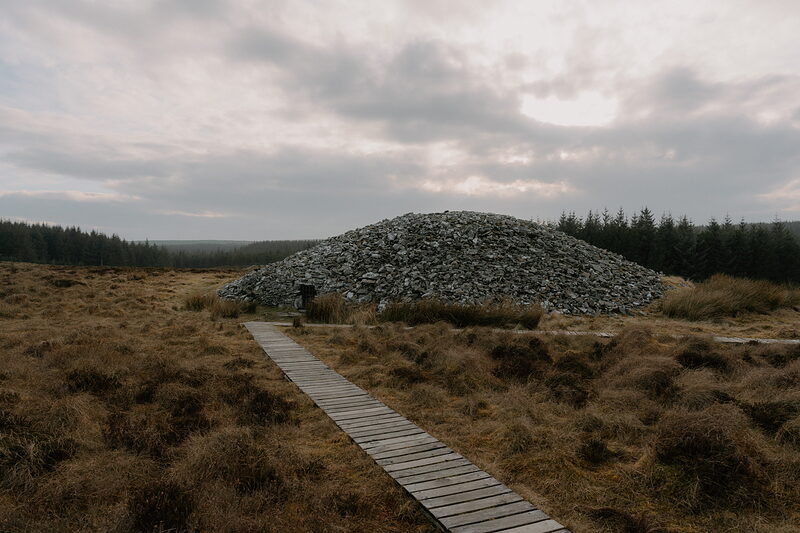
The hole in the top of the round Camster Cairn was made after a Victorian woman got stuck inside and needed to be hoisted out.
Find out moreBetween 1922 and 1947, the temperance movement took hold in Wick and it became an alcohol-free town.
Find out moreThe Battle of Altimarlach, which took place between the Campbells and Sinclairs near Wick in 1680, is regarded as the last clan battle in Scotland without government involvement.
Find out moreTrees aren’t abundant in Caithness, but stone is plentiful and so fields around the region are often seen bordered with upturned flagstones instead of fences.
Find out more
While often claimed to be two separate strongholds, Castle Sinclair Girnigoe is actually just one castle known by two titles until they were merged into a single name to ease confusion.
Find out more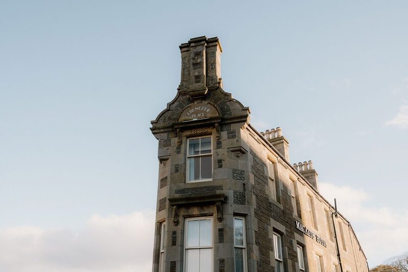
The world’s shortest street is Ebenezer Place in Wick at 2 metres long, containing just 1 door.
Find out moreThe name Caithness means Headland of the Cat.
Find out more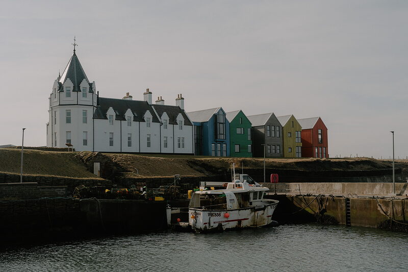
The Pentland Firth separating Caithness from Orkney is an incredibly dangerous stretch of water with one of the strongest tidal currents in the world.
Find out more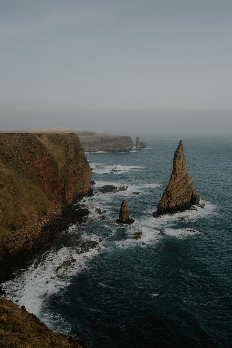
The iconic Duncansby Stacks were almost destroyed as part of an Atomic Bomb experiment in 1953 but fortunately the weather was too wet for the electronics.
Find out moreRead about Caithness.
Photographs by Mackays Hotel, Ana Marrie, L.M. de Groot, Forss House Hotel, North Coast Watersports and The View From Bide Hotels via Google