
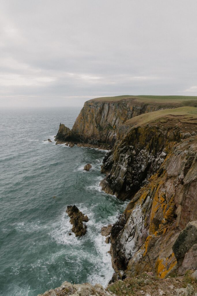
Rhins of Galloway
The peninsula at Scotland's south-west tip, circled by an 83-mile waymarked coast path from Stranraer to the Mull of Galloway and back.
The Rhins of Galloway is the peninsula at the far south-west tip of Scotland, running south from Loch Ryan, with the windswept cliffs of the Mull of Galloway at its southern end.
The best way to know it is on foot. The Rhins of Galloway Coast Path runs for eighty-three miles in a great loop from Stranraer and back, past the sheltered waters of Loch Ryan, Corsewall, Portpatrick, Port Logan and the Mull. It is waymarked, with panels telling the story of the places along the way, and it divides into six sections, each a day's walk.
For something shorter, five circular walks give a taste of the coast: Wig Bay Sands, Dunskey Glen, Ardwell Bay, the Mull of Galloway and Sandhead.
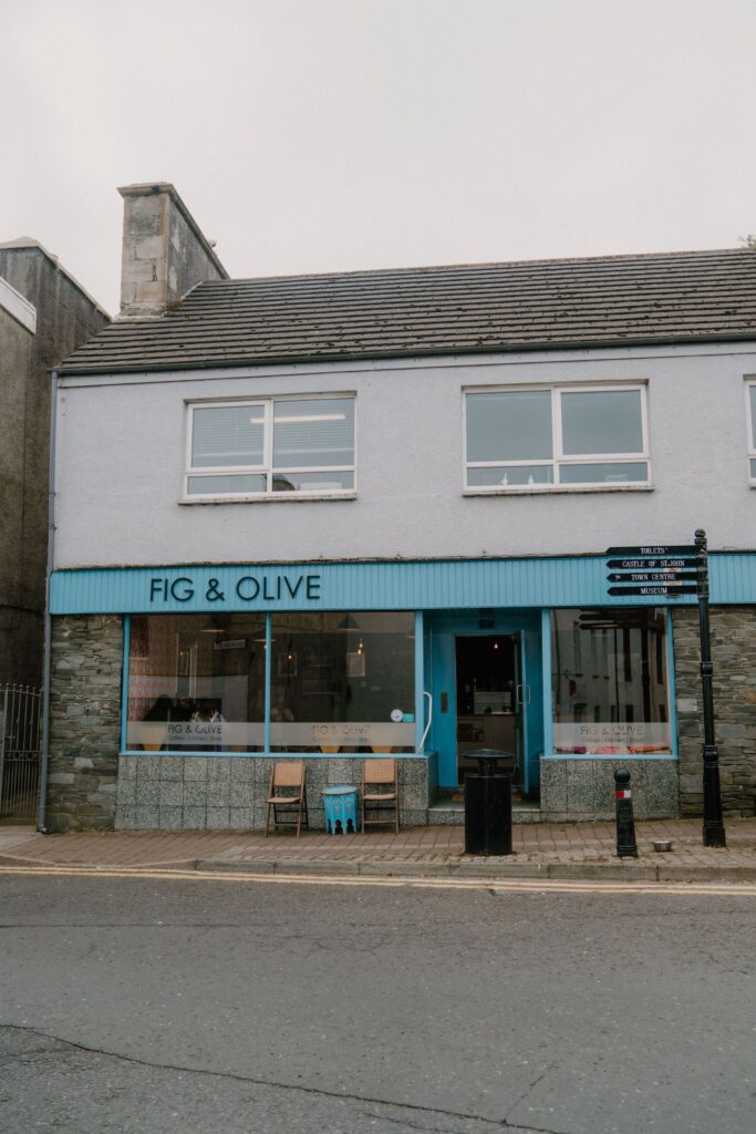
Open at all times; each section of the path makes a day's walk.
- Path
- 83 miles, circular.
- Starts
- Stranraer.
- Sections
- Six, one a day.
The peninsula west of Stranraer; the path starts and ends in the town.
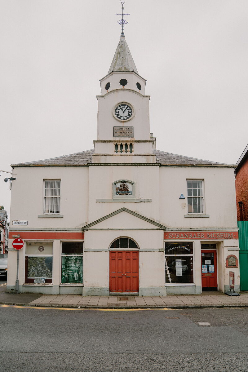 Stranraer MuseumWigtownshire's story in Stranraer.6 miles11 min by road
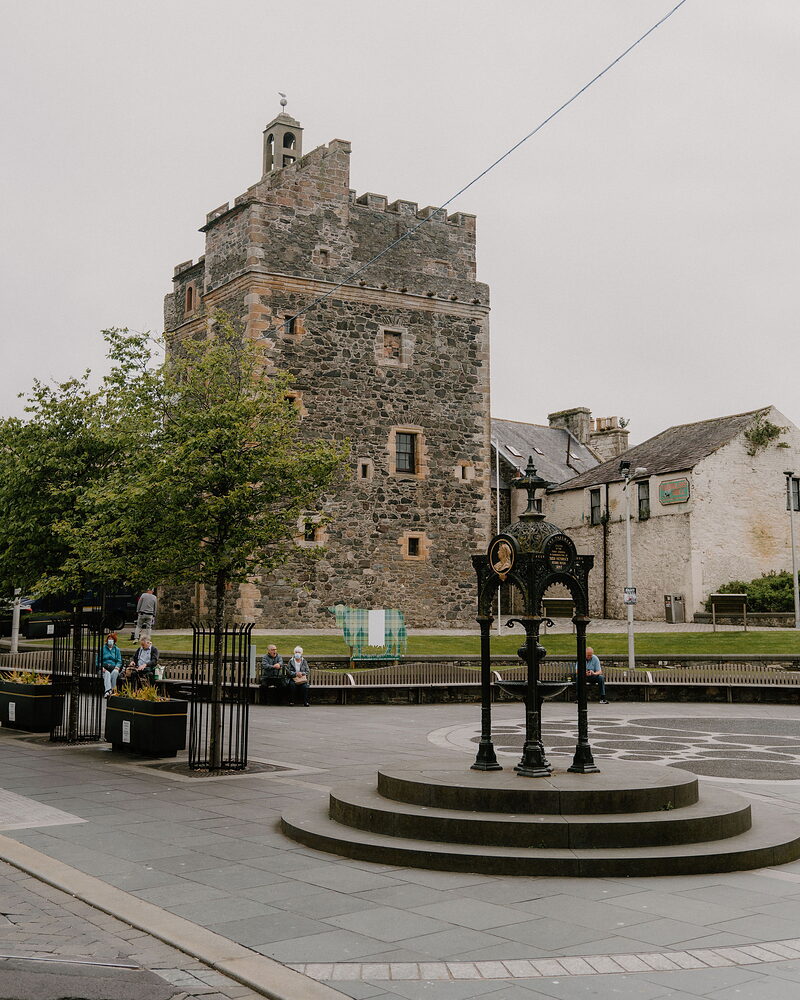 Castle of St JohnA tower house in the middle of Stranraer that has been nearly everything.6 miles11 min by road
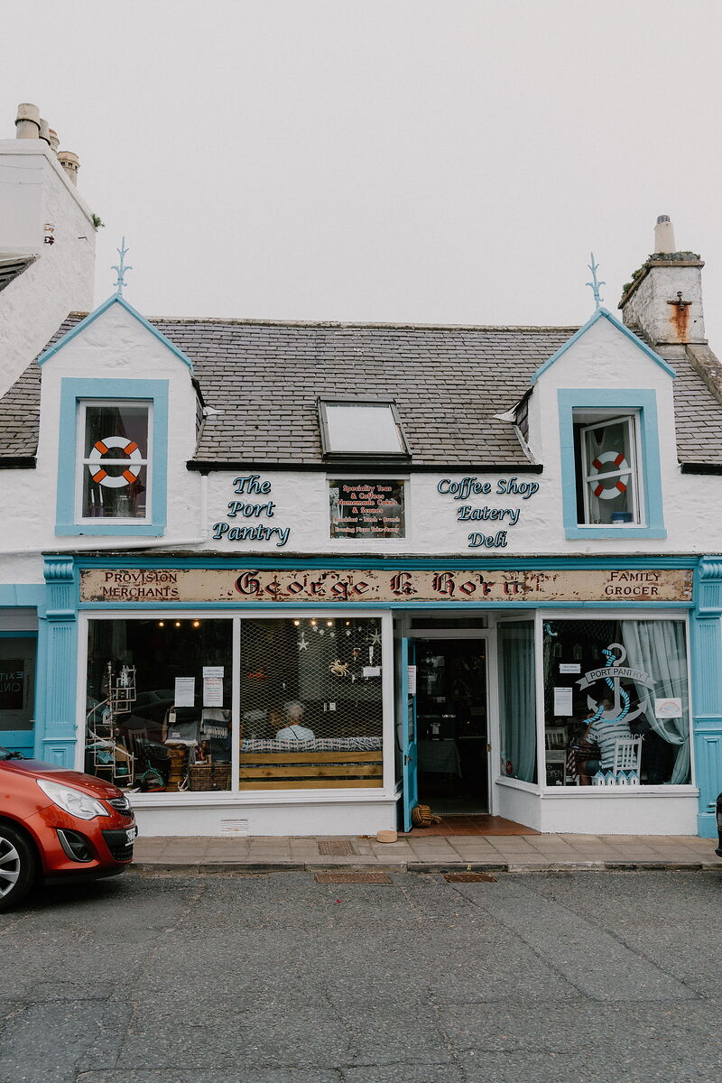 The Port Pantry, PortpatrickA cafe on Portpatrick harbour.7 miles13 min by road
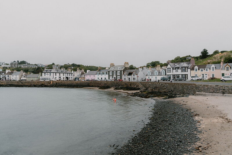 PortpatrickA painted harbour on the Rhins, and mile nought of the Southern Upland Way.7 miles13 min by road
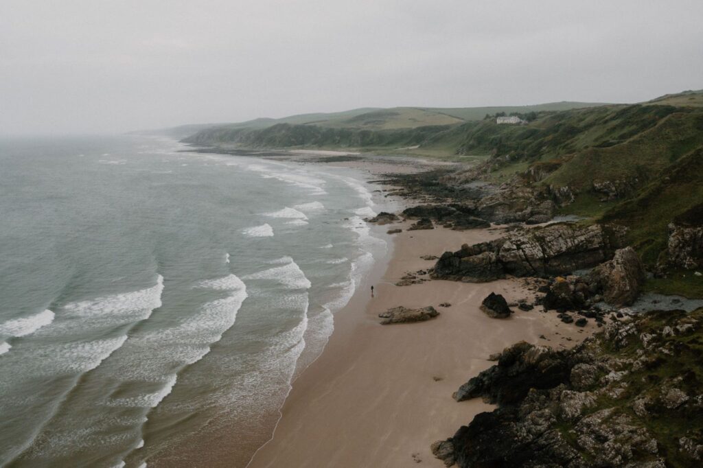 Killantringan Lighthouse and BayA lighthouse and bay on the west coast.9 miles20 min by road
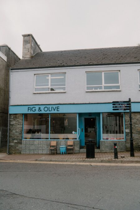
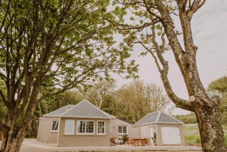
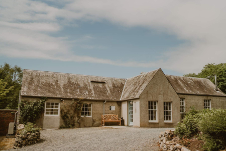
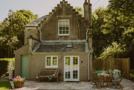
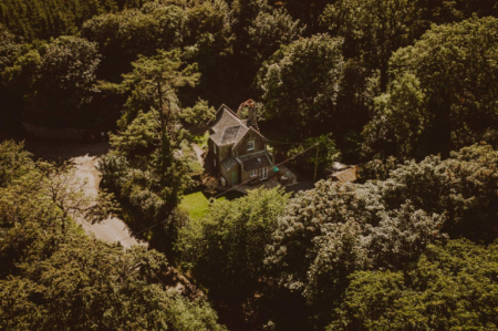
Places to stay near the peninsula, and when each is next free.
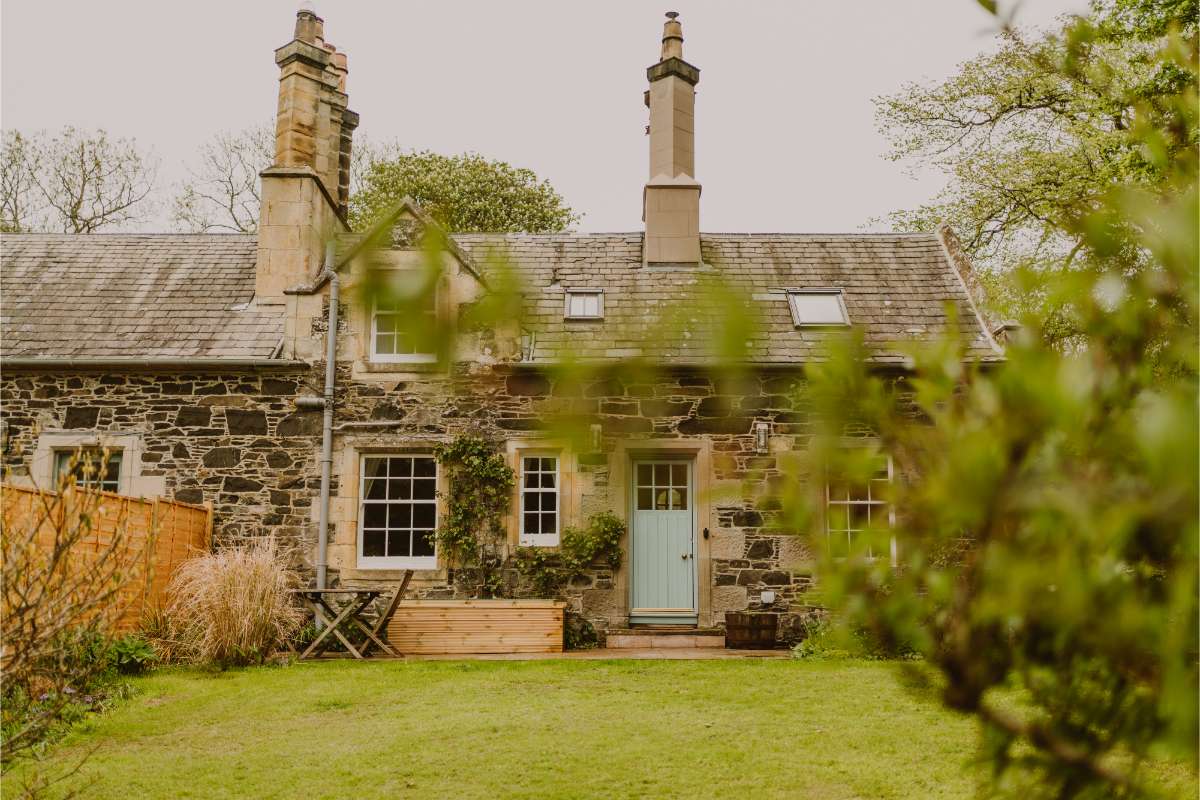 Wren's Nest
- Sleeps 2
- In Portpatrick
- 5 miles from the Rhins of Galloway
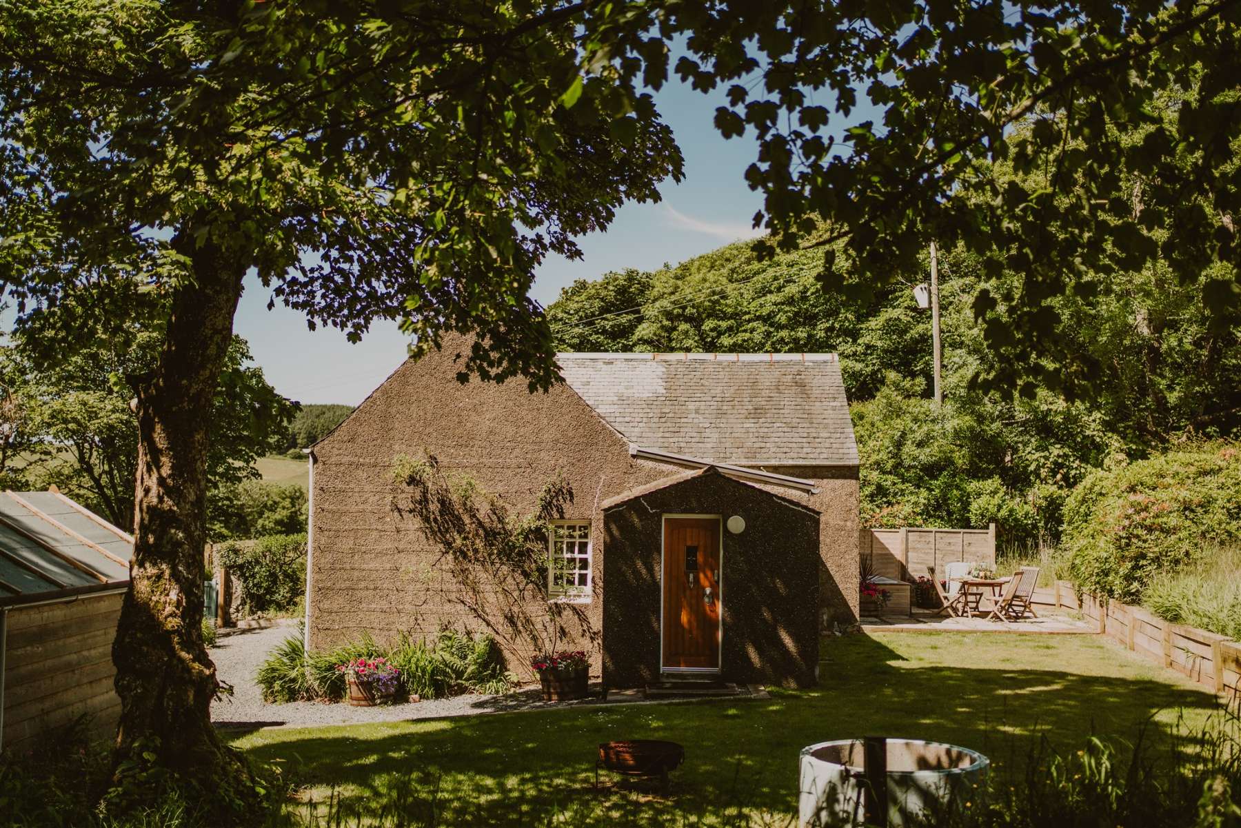 Rose Blair Lodge
- Sleeps 2
- In Dumfries and Galloway
- 5 miles from the Rhins of Galloway
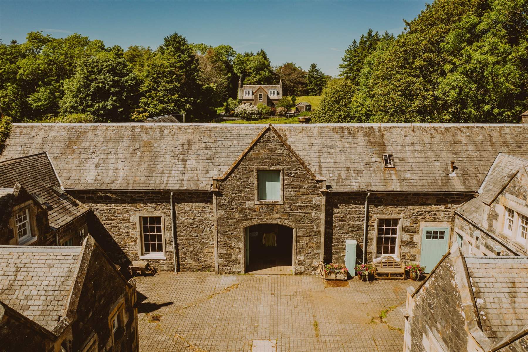 Heritage Coachman Lodge
- Sleeps 4
- In Dumfries and Galloway
- 5 miles from the Rhins of Galloway
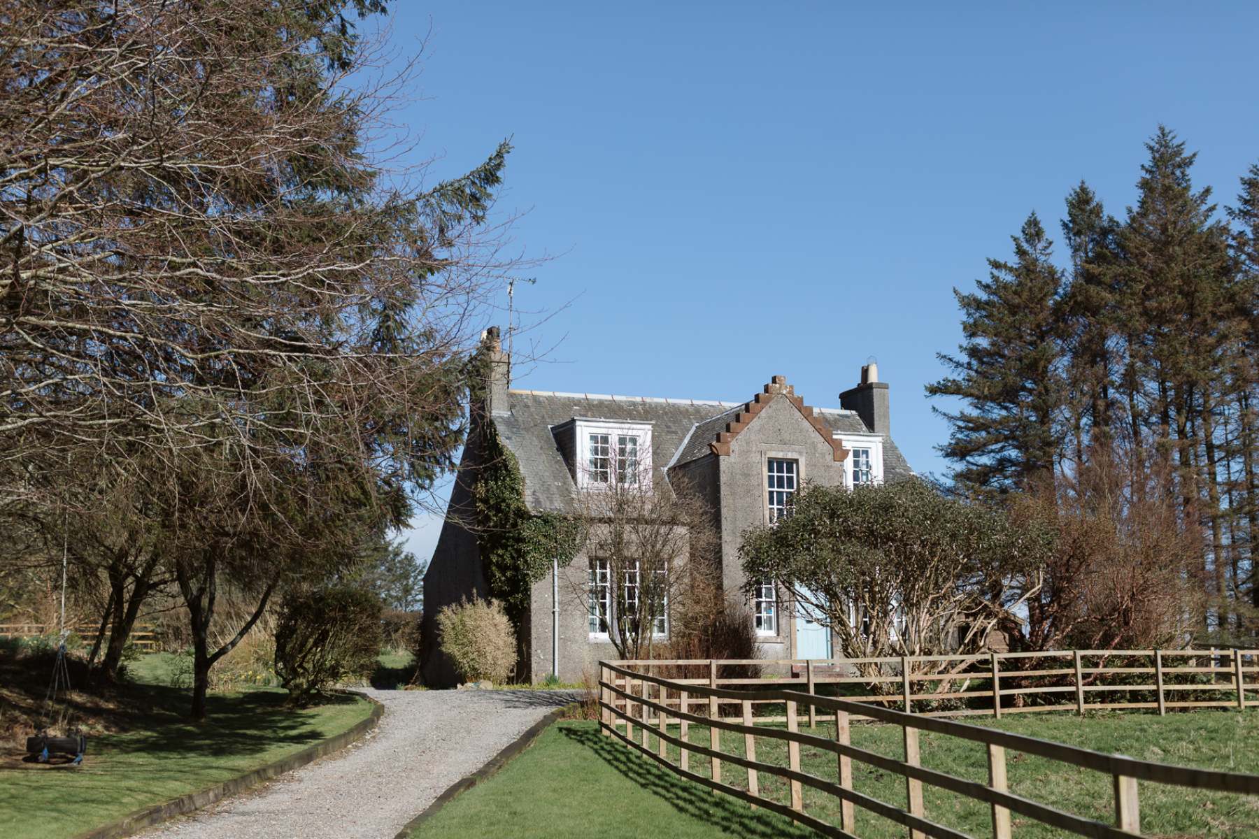 Fern Forest House
- Sleeps 6
- In Dumfries and Galloway
- 5 miles from the Rhins of Galloway
Scotland, in print.
Every photograph commissioned, every word written by somebody who went. Printed twice a year, made in Scotland.
For further reading, before you go.