
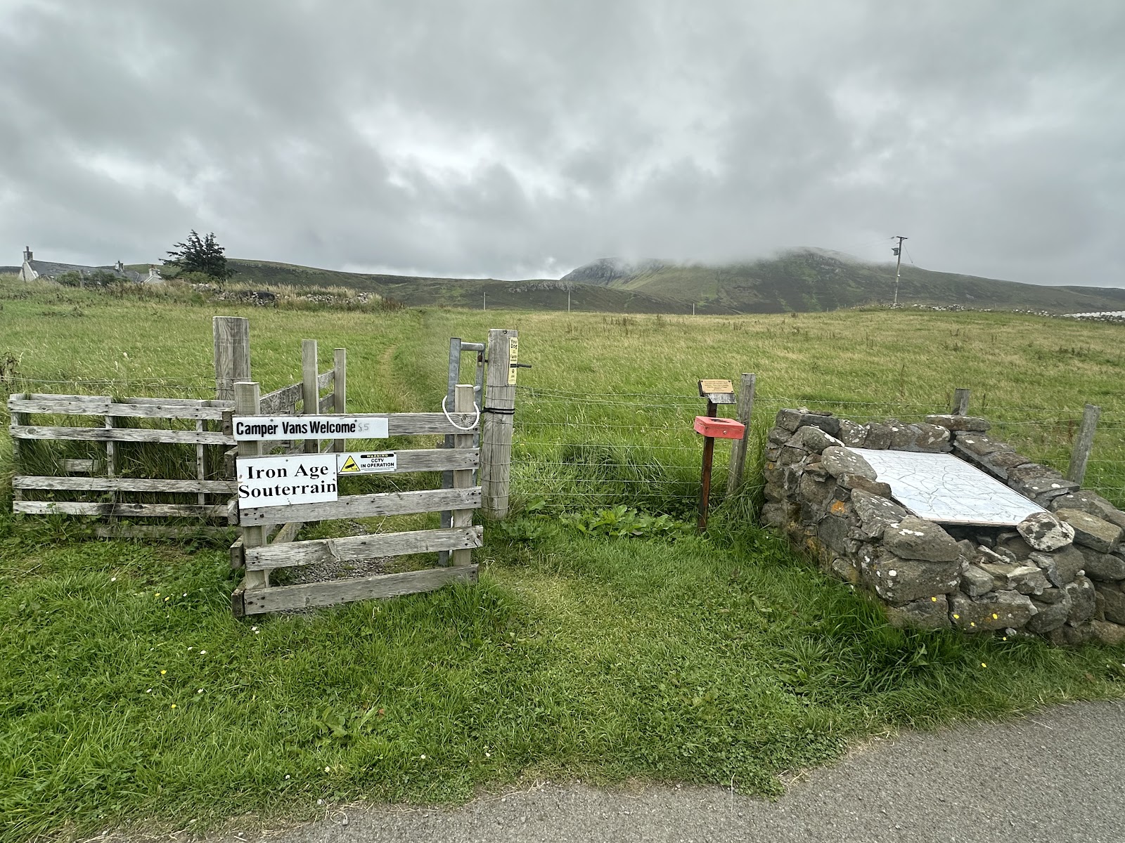
Kilvaxter Souterrain
An Iron Age passage cut into a field at Kilmuir, about 17 metres of it, roofed with slabs and open to anyone who walks across from the road.
Across a field at Kilvaxter, with a car park on the road and a few hundred metres of grass between, a slab-roofed passage runs into the ground for about seventeen metres.
It does not go straight: it curves as it goes, narrowing to three-quarters of a metre in places, so from the middle of it you can see neither end. The walls are rubble and the roof is a run of slabs nearly two metres long, wedged in place with stones jammed between their ends.
A farmer found it in the spring of 2000, when one of those slabs gave way. Roger Miket excavated it that summer for the community council, the roof was made safe, and it opened to visitors in 2006. The dig turned up four cup-marked stones, one of them reused as packing in the kerb of the yard outside, and above the Iron Age layers a platform of boulders with a small hoard of thirteenth-century coins. What souterrains were for is still argued over: storage, refuge and ritual are the usual three.

There is a car park on the Kilmuir road and the souterrain is a few hundred metres across the field from it, with boards at the site explaining what you are looking at.
You can go down into it: the entrance is lower than the passage, and there is about 1.6 metres of headroom at best, so most people go in bent forward rather than crawling. A torch is usually left at the entrance, but take your own. Wellingtons if it has rained.
- Where
- Kilmuir, north Trotternish. Car park on the Kilmuir road at NG 389 696.
- Getting to it
- A few hundred metres across the field. Boots or wellingtons after rain.
- Inside
- About 1.6 m of headroom at most, and lower at the entrance.
- Take
- A torch. One is often left there, but do not count on it.
At Kilvaxter in Kilmuir, north Trotternish, off the Kilmuir road, with its own car park at NG 389 696.
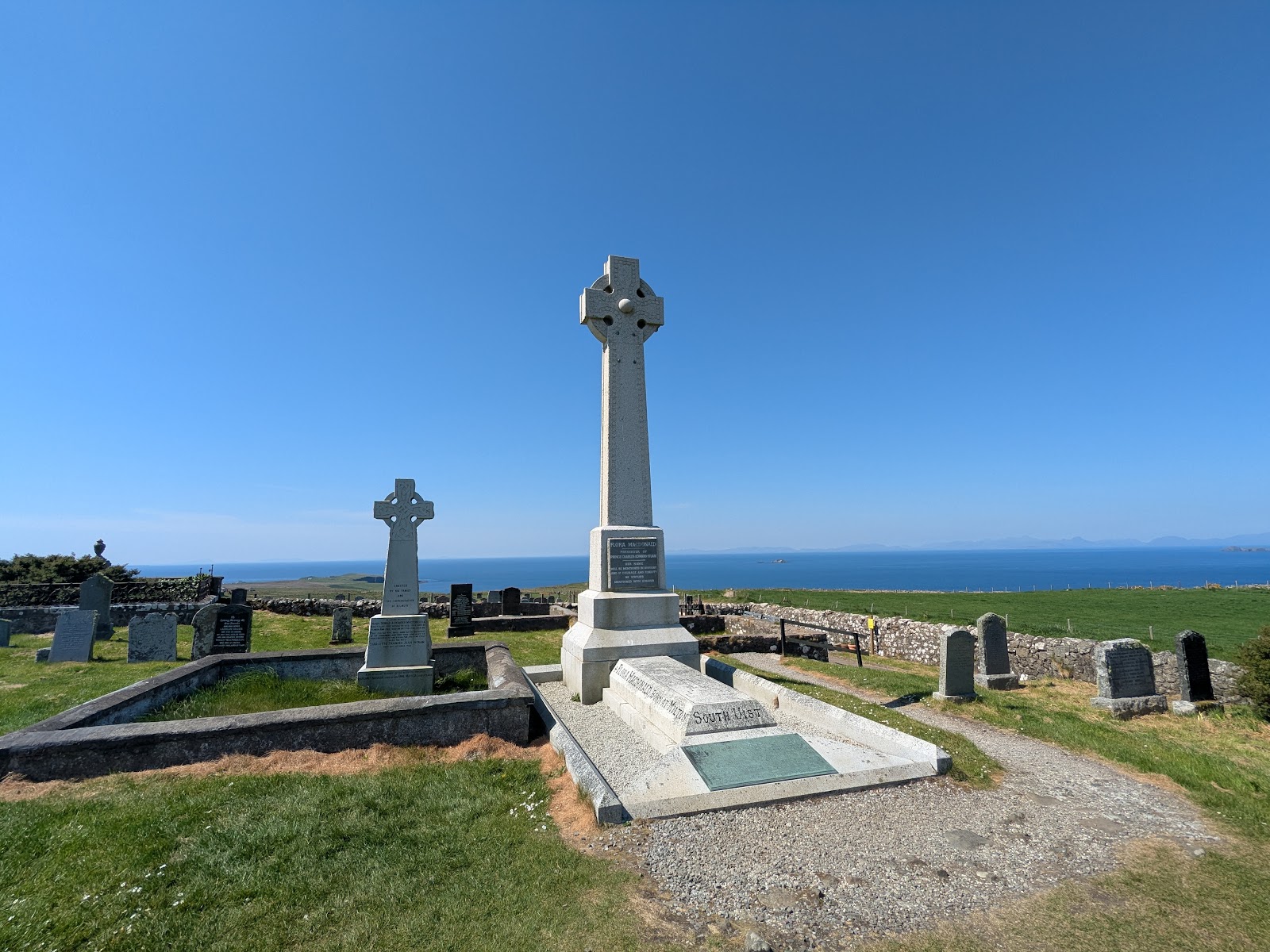
 The Grave of Flora MacDonaldThe Kilmuir churchyard above the Minch, with the tall Celtic cross.2 miles3 min by road
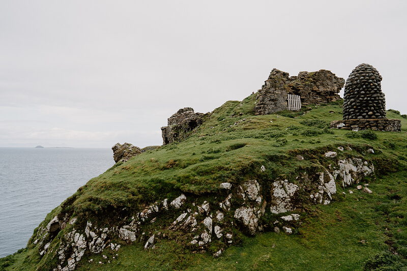 Duntulm CastleA Macdonald ruin on the cliff at the top of the peninsula.3 miles4 min by road
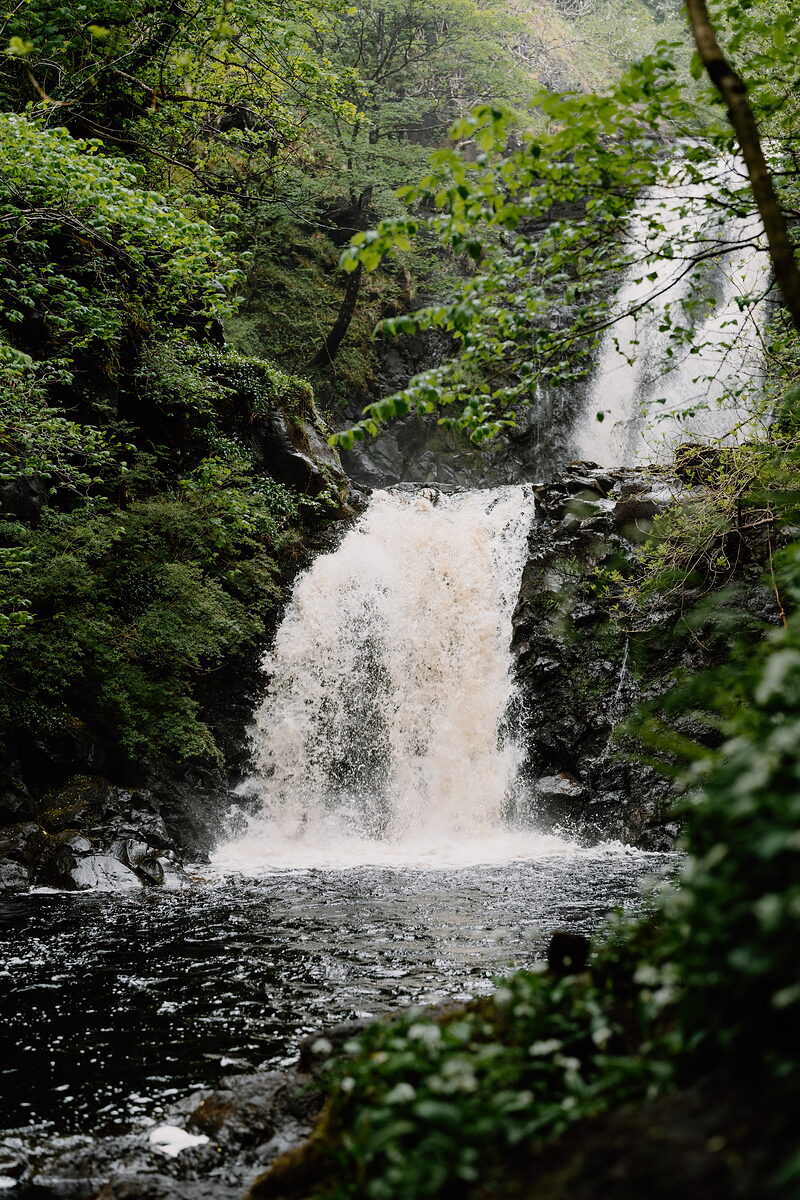
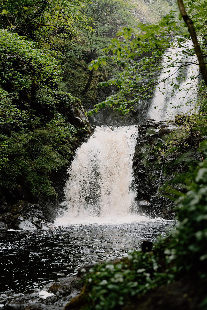 Rha WaterfallTwo falls in a wooded gorge at Uig, a few minutes down the road.5 miles7 min by road
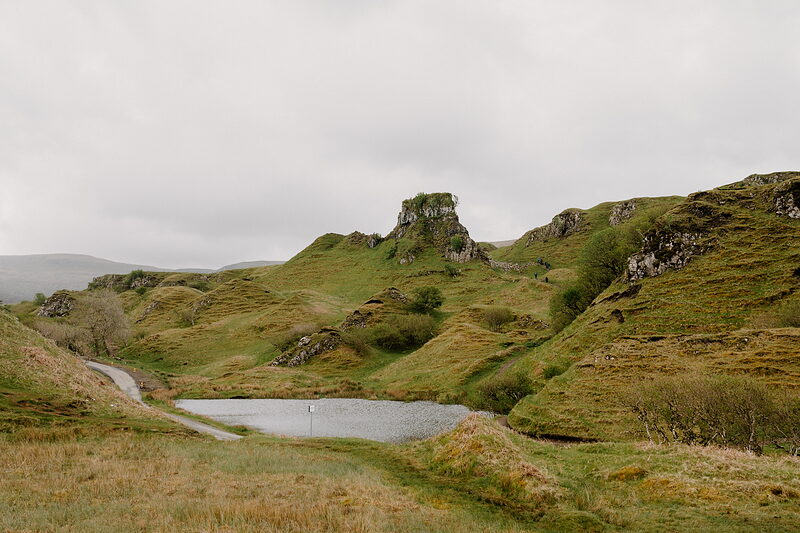 Fairy GlenHillocks and lochans left by landslips above Uig, south along the coast.6 miles12 min by road
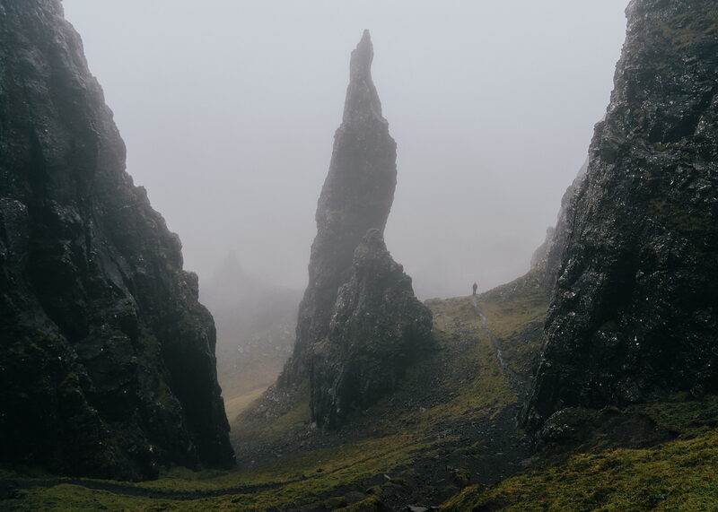
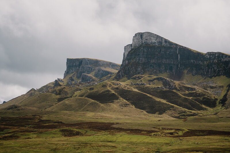 The QuiraingThe great landslip on the other side of the ridge.8 miles11 min by road
Places to stay near the souterrain, and when each is next free.
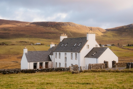
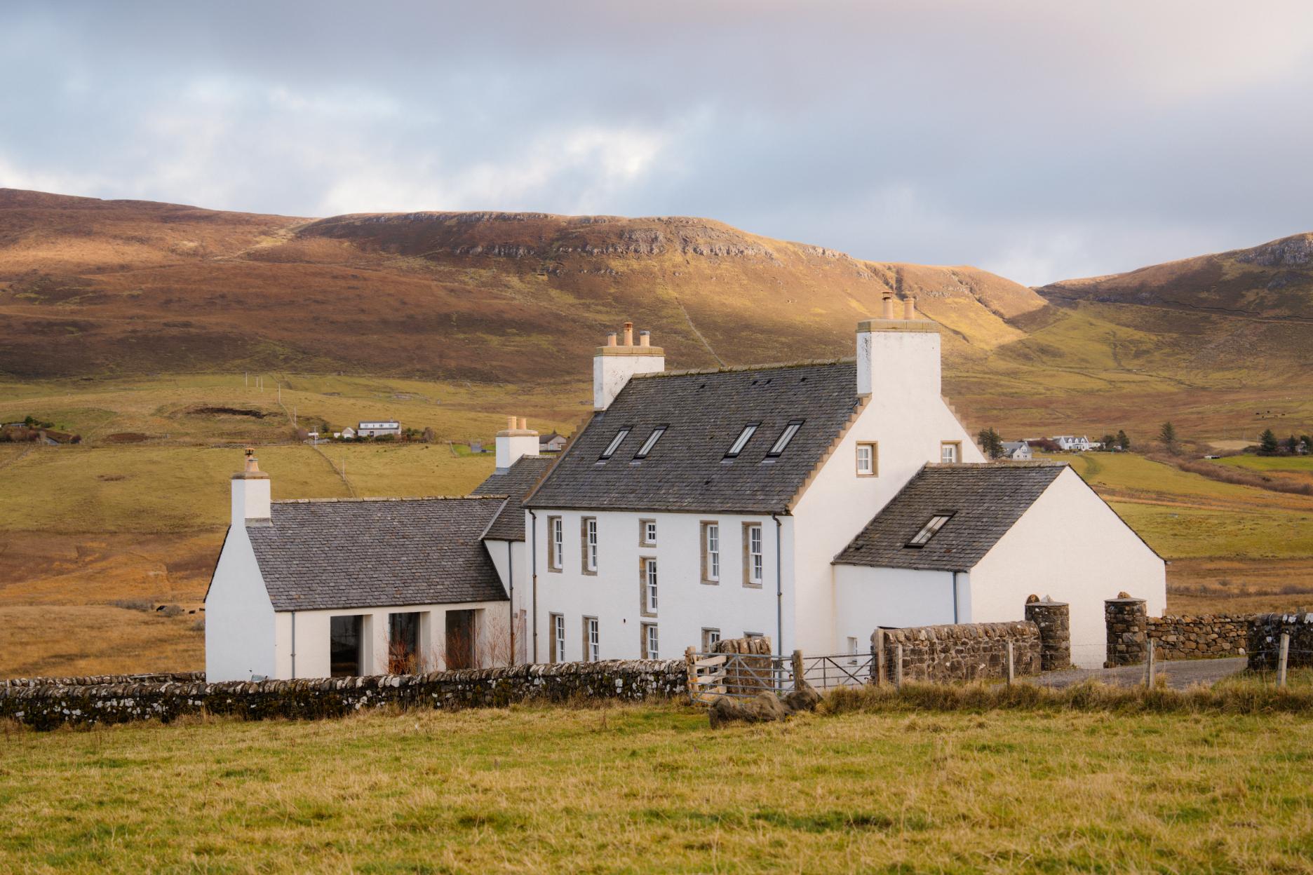 Monkstadt 1745
- To stay
- In Linicro
- 2 miles from the souterrain
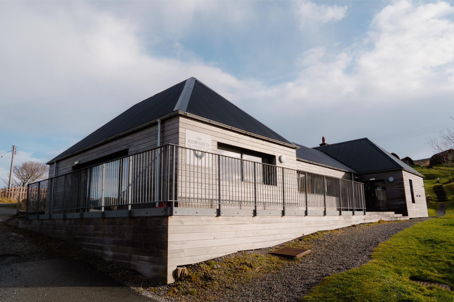 The Cowshed Boutique Bunkhouse
- Sleeps 1
- In the Isle of Skye
- 4 miles from the souterrain
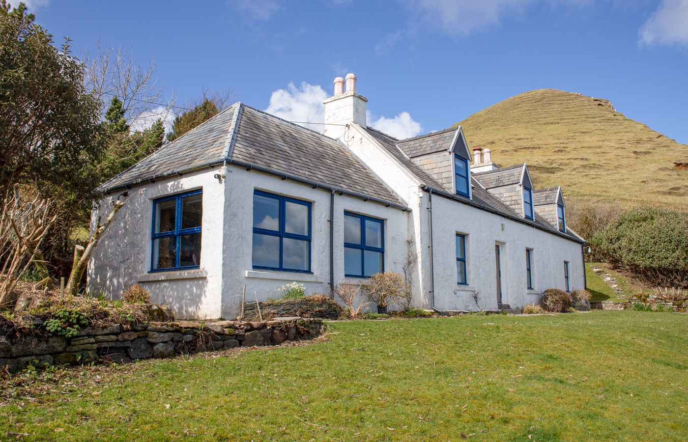 Half of One
- Sleeps 8
- In the Isle of Skye
- 9 miles from the souterrain
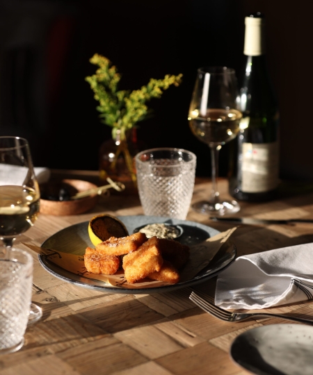
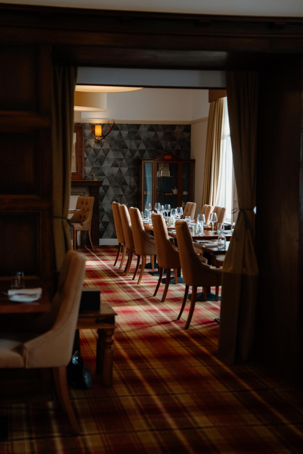 Skeabost House Hotel
- A hotel
- In Skeabost Bridge
- 13 miles from the souterrain
Scotland, in print.
Every photograph commissioned, every word written by somebody who went. Printed twice a year, made in Scotland.
For further reading, before you go.
- Kilvaxter souterrainThe monument record: the passage, the lintels, the excavation and everything the dig turned up.her.highland.gov.ukHighland Historic Environment Record↗
- The souterrain at KilvaxterThe community trust's own page: how it was found, how it was restored, and what to bring.urraschillemhoire.co.ukUrras Chille Mhoire↗
- SouterrainsWhat these passages were for, and how long the argument has run.scarf.scotScottish Archaeological Research Framework↗