
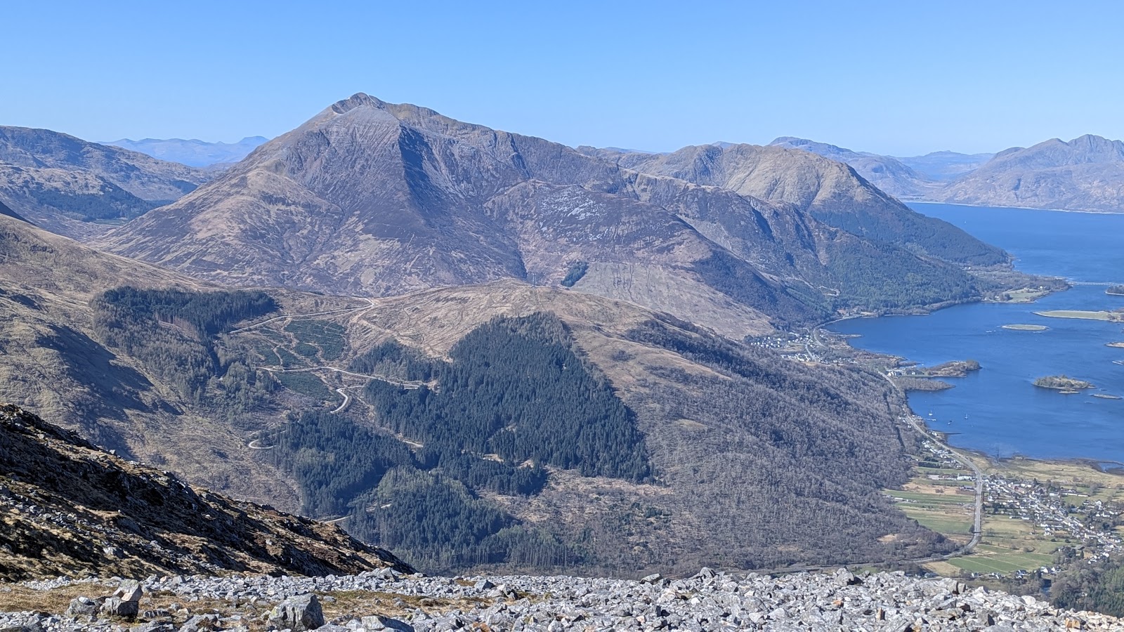
Sgorr Dhearg – Through the Forest and up the West Ridge
6½ miles · 4½ to 5½ hours · a hill · there and back
dogs welcome
Sgorr Dhearg, 1,024 metres, is the higher of the two Munros of Beinn a' Bheithir, the mountain above Ballachulish.
This way up follows a waymarked path from the Gleann a' Chaolais car park through the forest and up the corrie to the col between the two Munros. It then climbs east up a ridge of boulders and scree to the summit, and comes back the same way. By our map it is about 10.6 km there and back with about 1,010 metres of climb, and it takes about 4½ to 5½ hours. It is a rough, wet, stony mountain, where mist and winter come in fast: for hillwalkers who can find their way with a map and compass.
Where it starts
Start at the Gleann a' Chaolais car park, a rough car park in the trees at the top of the narrow Glenachulish road, signed off the A828 about 0.5 km west of the Ballachulish Hotel, Steven Fallon says.
Is it for me?
Tap who is coming, or the day you have, for the answer on this walk.
Before you go
Getting there
Forestry and Land Scotland named it the climbers' car park in 2022. The start is reached by the A828 from the Ballachulish roundabout, under the Ballachulish bridge, then the Glenachulish road. Shiel Buses' routes 44 and 144 between Fort William and Kinlochleven stop at Ballachulish Square, in the village east of the bridge: check the times and stops with the operator.
On the path
About 4½ to 5½ hours there and back: about 10.6 km (6½ miles) and 1,010 metres of climb by our map. From the Gleann a' Chaolais car park up through the forest to the col and up the west ridge to the summit, 1,024 metres, and back the same way. A forest track, then a path through the forest across two tracks and eight small burns with no bridge, with more burns above the trees. Then a very wet path up the corrie by old fence posts, and a steep ridge of grass, boulders and scree to the summit. About 10.6 km of rough, wet walking with 1,010 metres of climb, burns to cross and a steep ridge of boulders and scree: for children used to big hill days, with an adult who can navigate. The map to carry is OS Explorer 384, Glen Coe & Glen Etive (Ballachulish & Kinlochleven) (1:25,000); OS Landranger 41, Ben Nevis, Fort William & Glen Coe (1:50,000) shows the country round it.
Good to know
Summer and early autumn in daylight, on a clear, dry day with a good forecast, little wind and the burns low. Keep dogs under close control: watch for forest traffic on the tracks, and mind the boulders and scree near the summit. No guide read names toilets at the car park, and there are none on the hill, so plan for none. Forestry and Land Scotland is felling parts of the forest over the coming years: follow any diversion and safety signs. Munro Magic points walkers to the Hillphones service for stalking in the area: follow any signs. Under snow it is a winter mountain: read the Scottish Avalanche Information Service's Glencoe forecast, which does not name Beinn a' Bheithir, but the risk is here all the same.
The walk
This way up Sgorr Dhearg, the higher of Beinn a' Bheithir's two Munros, starts at the Gleann a' Chaolais car park above Ballachulish. A waymarked path climbs through the forest and up the corrie to the col between the two Munros, then east up the west ridge to the summit, and comes back the same way. By our map it is about 10.6 km (6½ miles) there and back, with about 1,010 metres of climb. Allow about 4½ to 5½ hours, more with stops, in poor weather or under snow. The summit is 1,024 metres up, and the car park only about 40 metres.
Beinn a' Bheithir is a horseshoe of ridges round Gleann a' Chaolais, just south of Ballachulish, and most walkers climb both its Munros in one day. Sgorr Dhonuill, the other one, stands west of the col; this walk does not go up it. Many walkers go up the north-east ridge of Sgorr Bhan from Ballachulish village instead. Munro Magic calls it the most common way up, with an easy scramble at the top of Sgorr Bhan, and Steven Fallon grades that scramble, on Schoolhouse Ridge, at Grade 1. This walk does not take that ridge, up or down. It goes by Gleann a' Chaolais, which Steven Fallon calls the most direct way onto the mountain and which needs no scramble, to Sgorr Dhearg's summit and back, and no further.
To reach the car park, Steven Fallon says, take the A828 from the Ballachulish roundabout, under the Ballachulish bridge and past the Ballachulish Hotel. About 0.5 km further west a sign for Glenachulish marks a narrow tarred road to the south. Drive up it past several houses, keeping left, to a rough car park in the trees. Forestry and Land Scotland named it the Gleann a' Chaolais climbers' car park in 2022. No guide read today names toilets there, so plan for none.
Before you set off, check the mountain forecast: the Mountain Weather Information Service's West Highlands forecast takes in the mountains around Glencoe, and the Met Office has a forecast for the summit. Carry a map and compass and know how to use them: Munro Magic says the way needs map reading and the ability to navigate with a compass. On open ground in poor visibility, it warns, following paths without a compass can get you lost. Munro Magic points walkers to the Hillphones service for stalking in the area, so follow any signs.
From the car park walk up the forest track, past a small hydro building. After about 700 metres a bridge leads off to the left over the burn: cross it and turn right, following the signs for Sgorr Dhearg. The way climbs through the forest for about 1 km to a forest track, and across the track a sign points walkers straight uphill on a path. The path crosses a second track, then climbs more steeply through a gap in the trees and into dark, dense forest. Steven Fallon says it is well built here, with boulders and log edges.
Glenachulish forest belongs to Forestry and Land Scotland, which calls it a key way in to the nearby Munros. Its plan for 2023 to 2033 replaces the conifers with native woodland, felling the steep slopes in the north-west of the forest first. In 2022 felling closed another path up the hill for a season. Tracks and signs change with the felling: follow any diversion and safety signs, and watch for forest traffic on the tracks.
Small burns run across the path through the forest and above it. OpenStreetMap maps eight fords with no bridge between about 1.2 and 3.2 km out, and one footbridge higher up. After heavy rain they can rise fast: if one is too full to cross safely, turn back.
The path leaves the trees by a gate, about 3.5 km out by our map, and follows an old fence line above the edge of the plantation. Steven Fallon calls the path beyond very wet, and Scotland's Hills found it wet and boggy, with old fence posts marking the way. It rises gently to the foot of the col, then steepens. The col between Sgorr Dhearg and Sgorr Dhonuill is at about 760 metres, about 4.3 km out by our map.
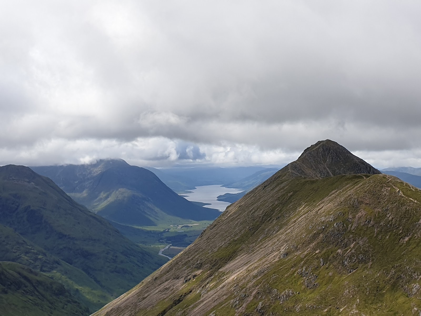
At the col turn left, east, up an obvious path over grass. Higher up the grass gives way to a boulder field and scree, with a path zigzagging through to the summit, Steven Fallon says. By our map the last 600 metres of the ridge rise about 30 metres in every 100. Munro Magic warns of steep slopes and of stony, rocky slopes on or near the ways up. The ridge takes the full force of the wind, and Scotland's Hills was brought to a standstill by gusts on it: in strong wind, turn back.
The summit, 1,024 metres, is mostly scree, with a cairn and a broken trig point. Three ridges meet here: west to the col, east along a curving ridge to Sgorr Bhan, and a north spur. Steven Fallon says the north spur is steep on both sides and rarely walked. OpenStreetMap maps crags about 150 metres north-west of the summit.
In mist, mind the way off the summit. Go back west down the ridge to the col, then north down the corrie by the old fence posts to the gate into the forest. Do not follow the ridge east to Sgorr Bhan or the north spur, and at the col do not carry on west up Sgorr Dhonuill. If the cloud comes down, the wind rises or anyone is tiring, turn back by the way you came.
Under snow Sgorr Dhearg is a winter mountain, and 360munros warns that winter Munro routes with ice and snow can be extremely challenging and dangerous. The nearest avalanche forecast is the Scottish Avalanche Information Service's for Glencoe. Its core area runs from Bidean nam Bian to Buachaille Etive Mor and does not name Beinn a' Bheithir. Snow brings the risk here all the same.
The way down is the way you came: down the west ridge to the col, down the wet corrie path to the gate, and back down through the forest to the car park. The boulders and scree are slow going down and the forest path is long, so allow time for it. In an emergency call 999 or 112 and ask for Police and Mountain Rescue, Mountaineering Scotland says. Give a six-figure grid reference and a named feature if you can. Phone signal in the Highlands is often patchy: to be able to text 999, register first by texting the word register to 999.
If it rains
None on this walk: in rain, low cloud or a high wind, leave the summit for another day. The eight small burns across the forest path have no bridge and rise fast after rain, and the corrie above the trees is very wet. In mist go back from the summit west down the ridge to the col and north down the corrie, never east to Sgorr Bhan or down the north spur. If the cloud comes down, turn back by the way you came.
After the walk
Something to do with the rest of the day, nearest the end of the walk first.
With the rest of the day
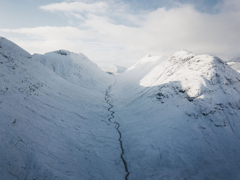 7 min by roadThings to doGlencoeA deep Highland glen walled in by the Three Sisters and the Aonach Eagach, cared for by the National Trust for Scotland, with a visitor centre off the A82.
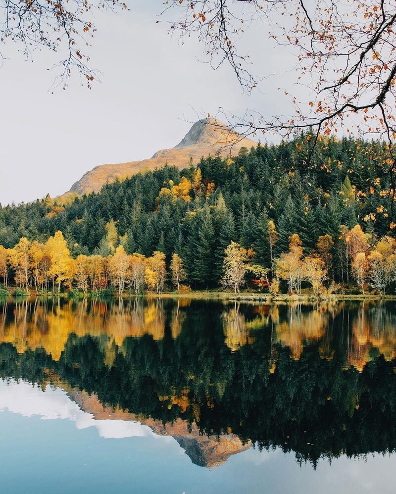 8 min by roadThings to doGlencoe LochanA still lochan in the woods above Glencoe village, planted with North American trees by Lord Strathcona for his homesick Canadian wife.
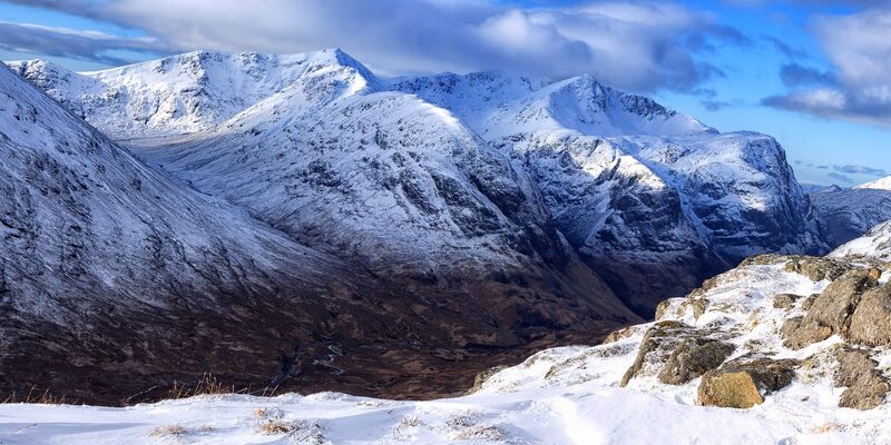 9 min by roadThings to doThe Lost ValleyThe hidden valley among the Three Sisters of Glen Coe where the MacDonalds kept their rustled cattle, reached by a short, rough climb.
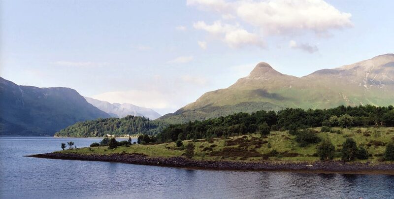 9 min by roadThings to doThe Pap of GlencoeThe pointed hill above Glencoe village, a steep, rough walk of about seven kilometres to a wide view along Loch Leven.
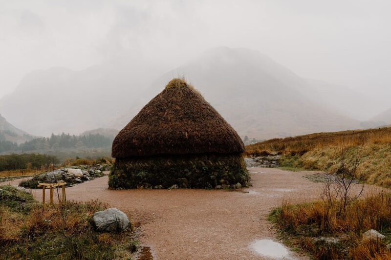 10 min by roadThings to doGlencoe Visitor CentreThe National Trust for Scotland's eco-friendly visitor centre in Glencoe, with a giant 3D map of the glen, an exhibition, a cafe and a reconstructed turf house.
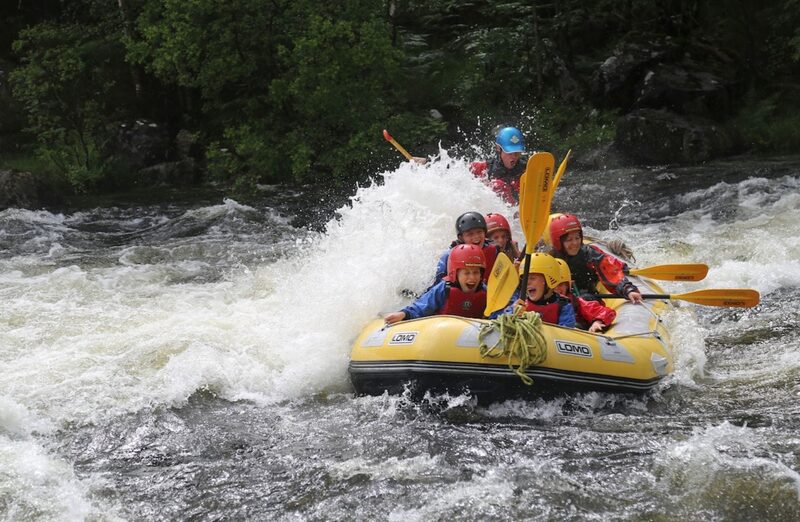 10 min by roadThings to doVertical DescentsVertical Descents Scotland is an adventure activity centre near Fort William, with a mobile base that covers the east of Scotland.
Places to stay near the walk
Our places to stay nearest the start, by road.
An advert · Ballachulish
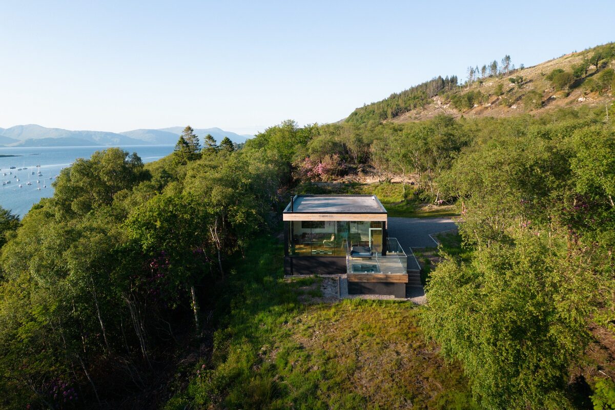
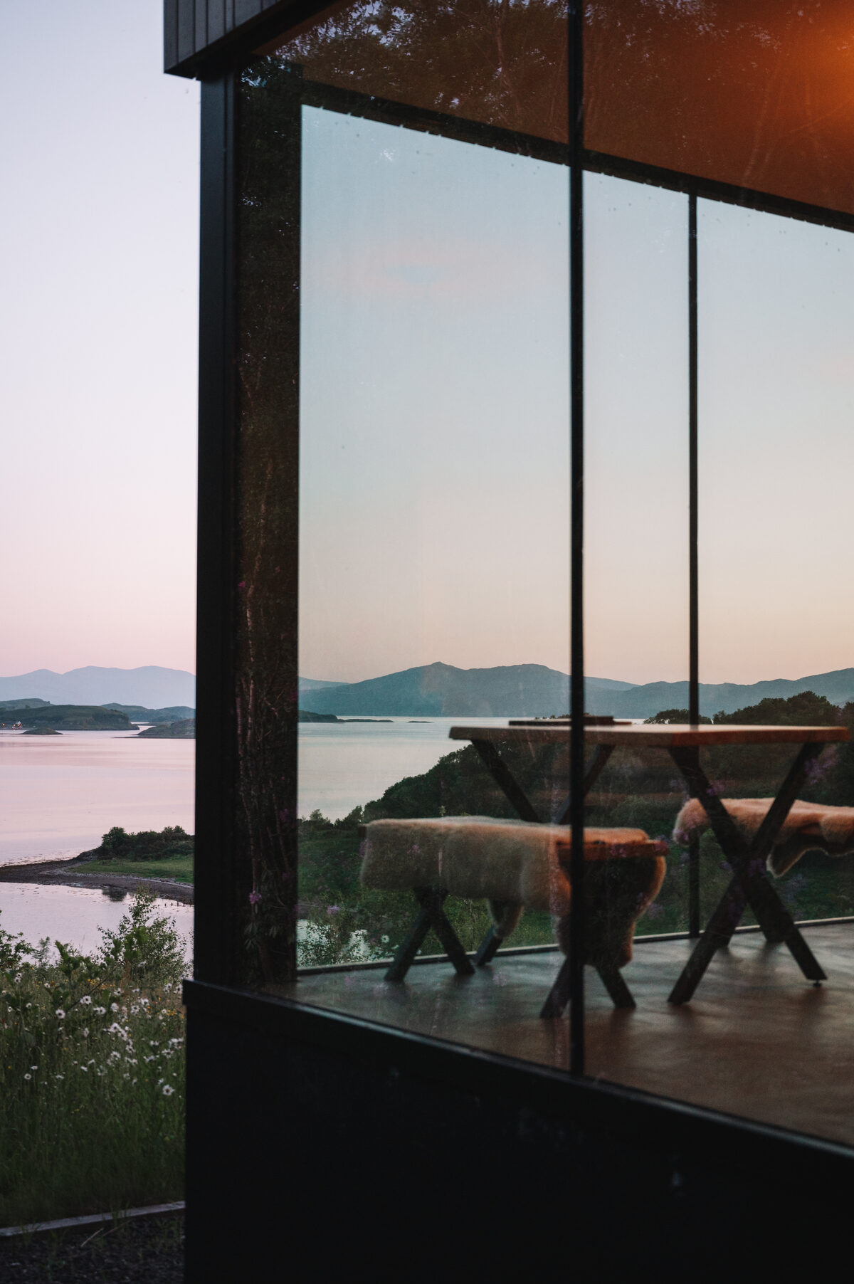
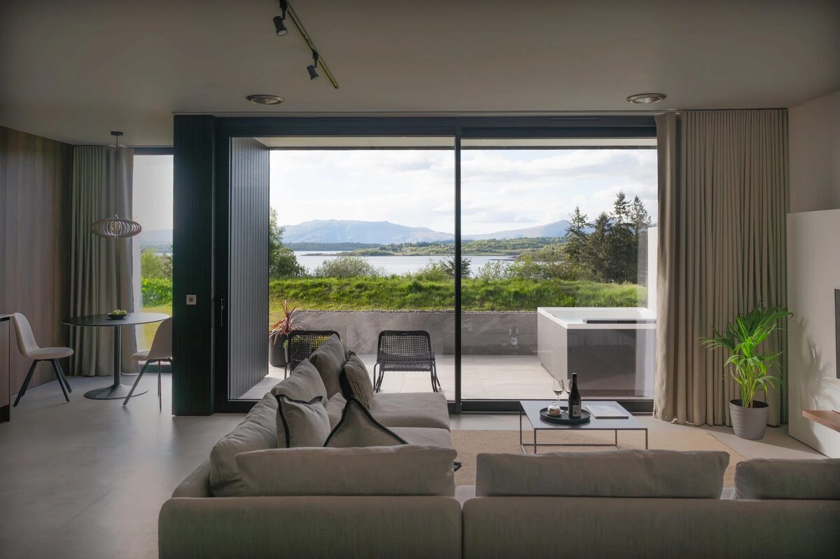
RiverBeds at Woodlands Glencoe
RiverBeds, the wee lodges for two at Woodlands Glencoe near Ballachulish, each with its own Jacuzzi hot tub on a veranda over the river.
Sleeps 2 · 2 minutes by road
See RiverBeds at Woodlands Glencoe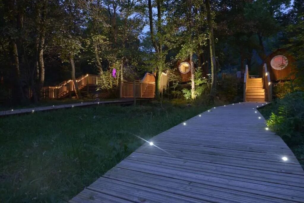
More walks near here
Within a short drive of the start.
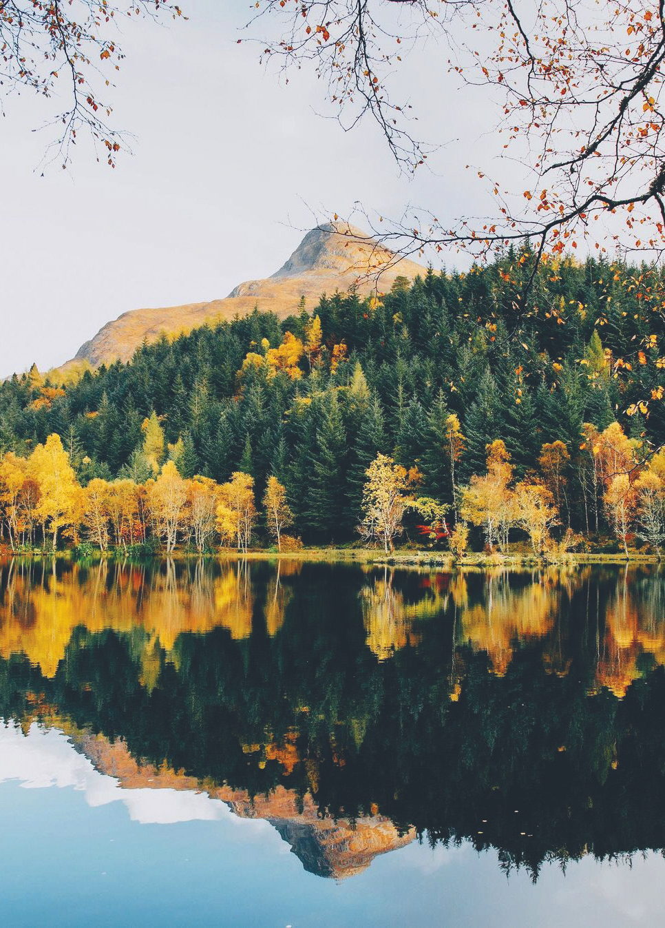 8 min by roadA hillThe Pap of Glencoe4½ miles, about six hours
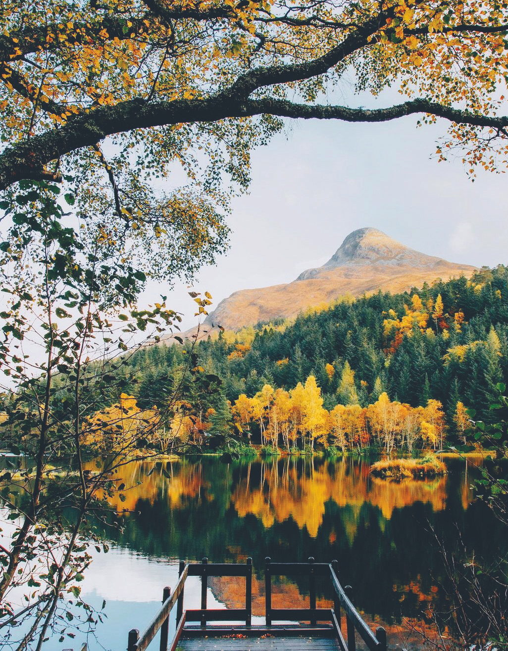 8 min by roadA strollGlencoe LochanA mile, half an hour to an hour
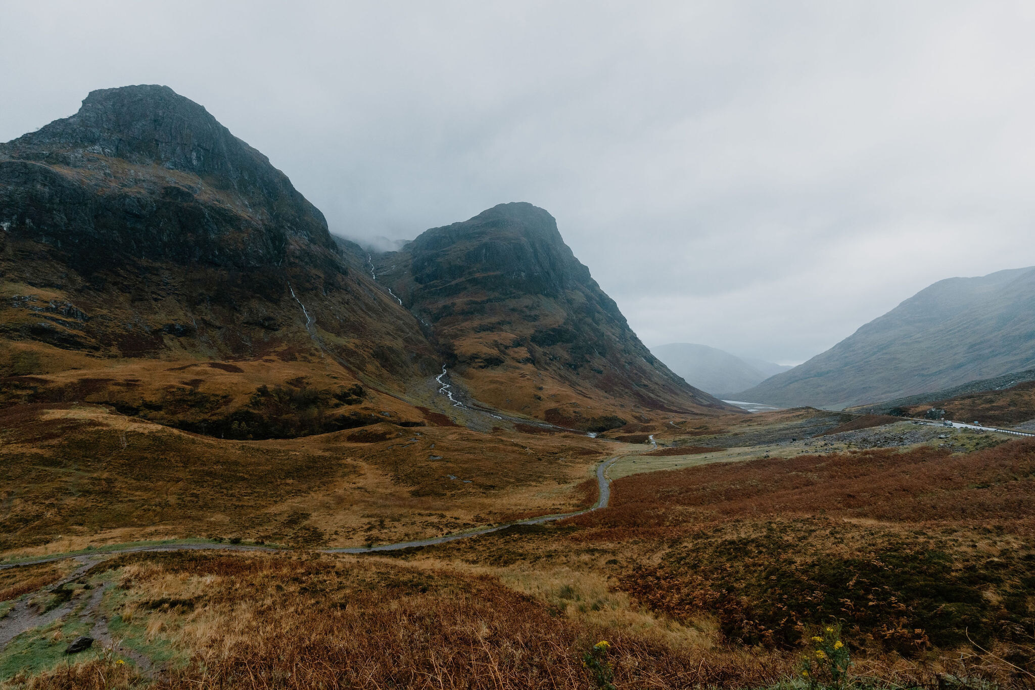 13 min by roadA hillBidean nam Bian6 miles, about 6 to 7 hours
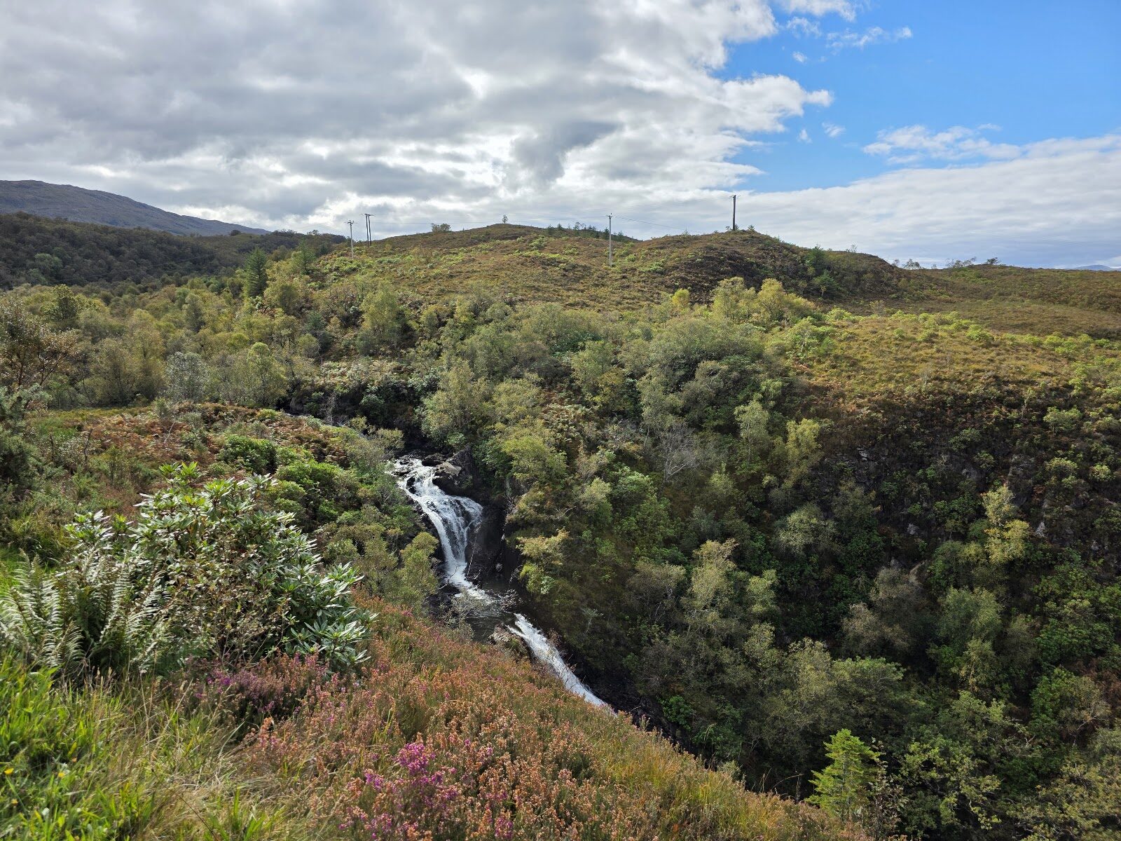 10 min by roadA walkGlen RighAbout an hour, or two and a half hours with both trails
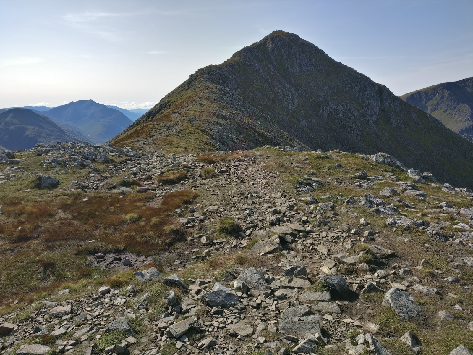 15 min by roadA hillStob Coire Raineach3 miles, about 3 to 4 hours
 15 min by roadA hillStob Dubh4 miles, about 4 to 5 hours
Did this walk?
Tell the next person how it went. The best go on this page, with your name.
Find out more
For further reading, before you go.
- Sgorr Dhearg, the Munro page, Hidden Scotland↗
- Beinn a' Bheithir from Ballachulish, Steven Fallonstevenfallon.co.uk↗
- Sgorr Dhearg, Steven Fallonstevenfallon.co.uk↗
- The West Highlands forecast, Mountain Weather Information Servicemwis.org.uk↗
- Sgorr Dhearg summit forecast, Met Officeweather.metoffice.gov.uk↗
- Glencoe avalanche forecast, Scottish Avalanche Information Servicesais.gov.uk↗
- Calling for help, Mountaineering Scotlandmountaineering.scot↗
Photograph by Craig Cherrie via Google
Maps from OpenFreeMap © OpenMapTiles, data © OpenStreetMap contributors; heights from Mapzen's terrain tiles.