
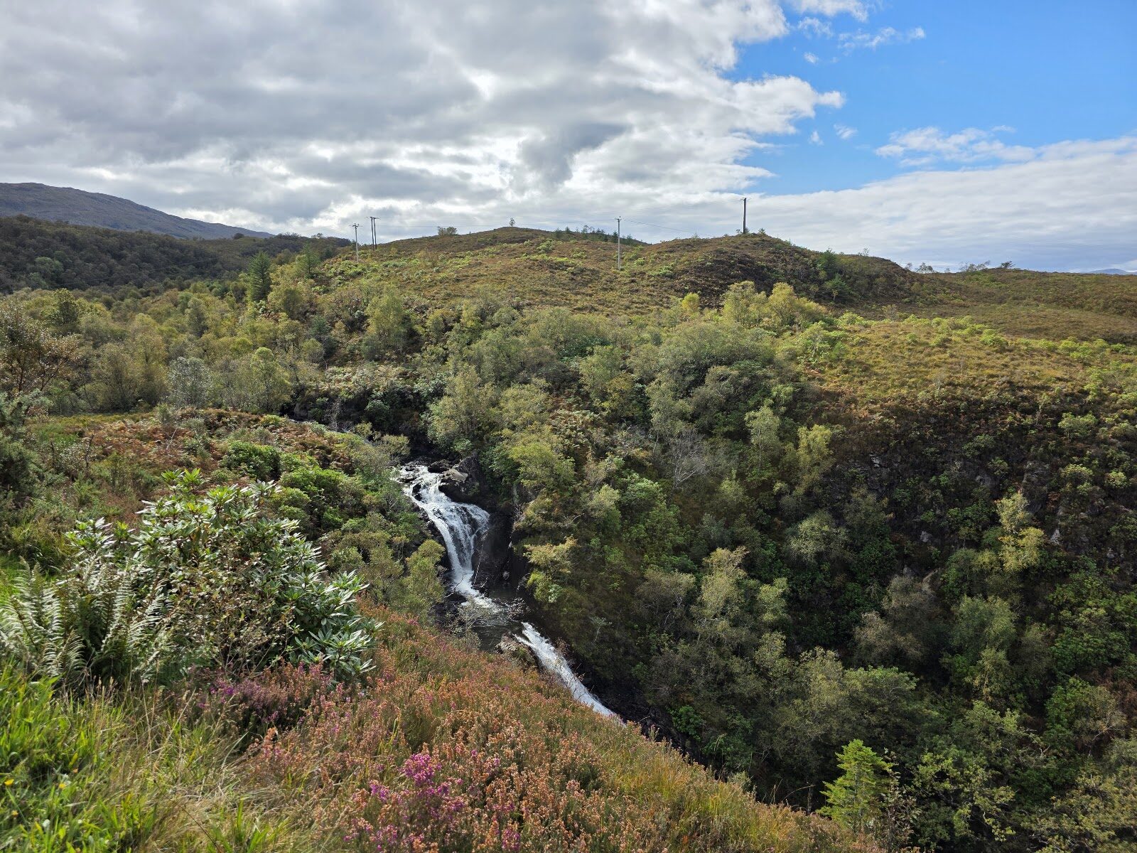
Glen Righ – Inchree Falls and Wade's Road
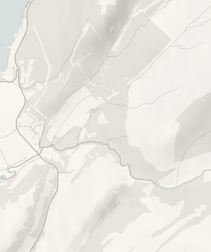
Glen Righ is a forested glen above Loch Linnhe at Onich, where the Abhainn Righ comes down a gorge in eight falls.
Forestry and Land Scotland has two waymarked trails from one car park: a short, steep one to the falls, and a longer one along an 18th-century military road to open hillside with views out to the west. Do one or both. Together they take about two and a half hours.
- Time
- About an hour by Forestry and Land Scotland's Waterfall Trail, 2 km; about an hour and a half by its Wade's Road Trail, 3.6 km. Short, steep forest walks.
- The path
- Uneven gravel with long steep slopes, rocky steps, exposed tree roots and bridges.
- Where to start
- Glen Righ car park, at the end of the public road through Inchree, off the A82 half a mile south of the Corran Ferry: £1 for up to an hour, £3 all day, Blue Badge holders free; card or RingGo. PH33 6SG is the nearest postcode.
- When to go
- All year in daylight. From November to January set off by 12.30pm to walk both.
- Dogs
- On a lead beside the gorge.
- Children
- Steep steps beside a gorge and fast water: older children, held close.
- Toilets
- The nearest public toilets are at the Corran Ferry.
- Before you set out
- The Wade's Road Trail's footbridge over the Allt a' Chailleach has a weight restriction: follow the notices on the bridge, by Forestry and Land Scotland's notice of 8 October 2026.
The walk
The Glen Righ car park is at the end of the public road through Inchree, which leaves the A82 half a mile south of the Corran Ferry. PH33 6SG is the nearest postcode. Parking is £1 for up to an hour or £3 for the day, by card or RingGo. Forestry and Land Scotland's Waterfall Trail is 2 km and takes about an hour. It climbs beside the gorge of the Abhainn Righ, which comes down the hill in eight falls, and they're at their most impressive after heavy rain.
Higher up, you look out across Loch Linnhe. The trail is graded strenuous: one long steep slope on uneven gravel, with rocky steps, tree roots and two bridges. The Wade's Road Trail is 3.6 km and takes about an hour and a half, through shady larch forest and out onto open hillside with views towards the Atlantic. It follows a road built for soldiers after the Jacobite rising of 1715. These roads carry General Wade's name, though this one was built by his successor, General Caulfield.
The footbridge over the Allt a' Chailleach on this trail has a weight limit at present, so read the notice on the bridge and do as it says. The nearest public toilets are at the Corran Ferry. Buses on the A82 stop at the road end, fifteen minutes' walk from the car park. Hold on to children near the gorge, and keep dogs on a lead beside it. From November to January, set off by 12.30pm if you mean to walk both.
If it rains
The falls are at their best after heavy rain, and the Waterfall Trail is short enough to walk in waterproofs. The steps are slippery when wet, so take them slowly, and leave Wade's Road for a clearer day.
Before you go
Book accommodation nearby
If you are staying over: here are ours nearest where the day starts and ends.
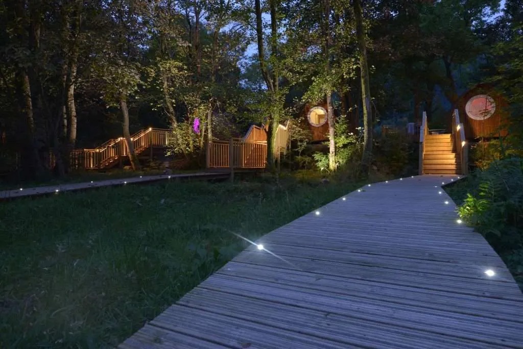
The nearest of ours is Woodlands Glencoe, 3 miles away. Sleeps 2.
For further reading, before you go.
Photograph by John Coomber via Google