
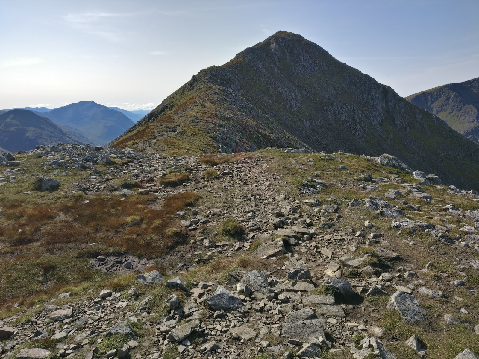
Stob Coire Raineach – By the Lairig Eilde path
3 miles · 3 to 4 hours · a hill · there and back
free parking · dogs welcome
Stob Coire Raineach, 925 metres, is the northern and lower of the two Munros on Buachaille Etive Beag, at the head of Glen Coe.
Climbed on its own, the usual way leaves the A82 on the Lairig Eilde path and climbs a built path to the bealach between the hill's two tops. It goes north-east up a stony ridge to the summit, and back the same way. By our map it is about 5.5 km there and back with about 670 metres of climb, and it takes about 3 to 4 hours. It is a short Munro, but a steep one, from beside a fast, busy road: for hillwalkers who can find their way with a map and compass.
Where it starts
Start at the car park at the foot of the Lairig Eilde, on the south side of the A82 at the head of Glen Coe, at grid reference NN 188 562.
Is it for me?
Tap who is coming, or the day you have, for the answer on this walk.
Before you go
Getting there
Parking is free, by our map. One guide warns it is very busy in summer and at weekends, with a lay-by uphill and another towards The Study when it is full. The start is reached by the A82 at the head of Glen Coe, about 7 km west of the Kingshouse Hotel, one guide says. No bus stop is mapped at the car park.
On the path
About 3 to 4 hours there and back: about 5.5 km (3½ miles) and 670 metres of climb by our map. From the A82 a short way along the Lairig Eilde path, up a built path to the bealach between the two tops of Buachaille Etive Beag, then north-east to the summit, 925 metres, and back the same way. A built path, steep in its upper half and eroded in places, with small burns to ford, then a worn path over scree, small boulders and loose ground to the summit. It climbs about 435 metres from the Lairig Eilde path to the bealach in about 1.6 km. A short Munro, but a steep one with loose ground near the top, a fast road at the start and weather that can close in fast: for older children used to hill days, with an adult who can navigate. The map to carry is OS Explorer 384, Glen Coe & Glen Etive (Ballachulish & Kinlochleven) (1:25,000); OS Landranger 41, Ben Nevis, Fort William & Glen Coe (1:50,000) shows the country round it.
Good to know
Summer and early autumn in daylight, on a clear, dry day with a good forecast: the car park fills in summer and at weekends. Keep dogs close in the car park and beside the A82, a fast trunk road, and under control on the hill. No source read lists toilets at the car park, and one guide says it has no facilities, so plan for none. Heading for the Scottish Hills lists no stalking issues on Buachaille Etive Beag, which the National Trust for Scotland manages. Under snow it is a winter mountain, in the Glencoe avalanche forecast's area.
The walk
The usual way up Stob Coire Raineach on its own starts at the car park at the foot of the Lairig Eilde, on the A82 at the head of Glen Coe. It follows the Lairig Eilde path a short way, climbs a built path to the bealach between the two tops of Buachaille Etive Beag, and goes north-east up a stony ridge to the summit. By our map it is about 5.5 km (3½ miles) there and back, with about 670 metres of climb. Allow about 3 to 4 hours, more with stops, in poor weather or under snow. The summit is 925 metres up, and the walk starts about 250 metres up, beside the road. No public body publishes a route, a distance or a time for it. From the bealach a path climbs south-west over a top of 902 metres to Stob Dubh, at 958 metres the higher of the hill's two Munros. Most walkers climb both, Wikipedia says: this walk keeps to Stob Coire Raineach. Wikipedia and MunroMagic also name a way up to the bealach from the Lairig Gartain, on the east side of the hill.
The car park is on the south side of the A82, at grid reference NN 188 562. Steven Fallon puts it just east of The Study and about 7 km west of the Kingshouse Hotel, and by our map it is free. A round stone cairn stands beside it, which ScotWays calls a coffin cairn. The car park can be very busy in summer and at weekends, Steven Fallon warns. When it is full, he says, there is a lay-by just uphill from it and another towards The Study. No source read lists toilets, and one guide says there are no facilities, so plan for none. No bus stop is mapped at the car park.
The A82 through Glen Coe is a fast trunk road: by our map it has a 60 mph limit and no lighting. Wikipedia records concern over its tourist traffic, with coaches and lorries causing congestion. It says the A82 has often been called one of the most dangerous roads in Scotland, and that gates close it in severe weather. Turn in and out of the car park with care. If you park in a lay-by, walk to the car park in single file, well in to the verge, and keep children and dogs close. Take the same care at the end of the day, on tired legs.
Before you set off, check the mountain forecast. The Mountain Weather Information Service's West Highlands forecast covers the hill, and the Met Office gives a forecast for the summit itself. Under snow, check the Scottish Avalanche Information Service's Glencoe forecast too. Carry a map and compass and know how to use them: MunroMagic says these hills need map reading and the skill to navigate with a compass.
From the car park a short path joins the Lairig Eilde path, which a branch from the signpost on the road soon meets. The path climbs gently south-west, by our map past a small crag about 20 metres to its right, about 300 metres out. About 600 metres out by our map it forks: Steven Fallon puts the fork about half a kilometre in, and Get Lost Mountaineering about 800 metres. Keep left, uphill. The right fork is the Lairig Eilde path itself, which goes on through the pass to Glen Etive and crosses the main burn.
The left fork crosses a small burn about 800 metres out, and another about 1 km out, by our map with no bridge on either. One walker found the first ground boggy. After the burn, Steven Fallon says, the path climbs more steeply for about 200 metres of height. By our map it climbs about 435 metres from the fork to the bealach in about 1.6 km, and about 43 metres in its steepest 100 metres, just above the burn. It crosses four more small streams on the way up, with no bridge. The National Trust for Scotland has rebuilt sections of the path, Steven Fallon says, and one walker found a stairway of boulders up the steepest parts. Erosion is taking its toll in places, he warns, and another walker found the path fairly steep and eroded below the bealach. One guide calls it a consistently steep ascent to the bealach, hard going in wet or windy weather. Streams can rise markedly in a day after rain, MunroMagic warns. Take it slowly, and keep to the built path.
The path tops out at the bealach, about 2.2 km out and about 750 metres up, where Get Lost Mountaineering found a small cairn on a flat outcrop. The map names the ground here Mam Buidhe. Paths meet here: one climbs south-west to Stob Dubh, and another drops south-east to the Lairig Gartain. Turn left, north-east, for Stob Coire Raineach. Note the cairn: in mist it is the place to find again, as the way down to the car park leaves the ridge here, heading north.
From the bealach a worn path climbs north-east up the hill's south-west ridge to the summit. By our map it is about 600 metres on and about 170 metres higher. Steven Fallon describes scree and small boulders, a path that splits and joins again near the top, and some loose ground where care is needed. One guide finds this the more challenging of the hill's two tops. MunroMagic marks stony and rocky slopes, crags near the summit and a steep, craggy north side. By our map short cliffs lie about 110 metres north-west of the path near the top, and about 170 metres east of the summit. Keep to the path, away from the steep north side. A large cairn marks the summit, 925 metres up.
In mist the ridge and the bealach can be hard to read. Visibility can change markedly with the cloud level, MunroMagic warns. On open ground in poor visibility, following a path without your compass may get you lost, it says. If the cloud comes down, the wind rises or anyone is tiring, turn back by the way you came.
The Heading for the Scottish Hills tables say the National Trust for Scotland manages Buachaille Etive Beag, both its tops, with no stalking issues.
Under snow Stob Coire Raineach is a winter mountain, and the Glencoe avalanche forecast takes it in. In the winter of 2010, the avalanche service records, a large natural avalanche swept across the path up to the bealach. Nobody was on that stretch at the time. One winter party found the built path a strip of black ice, and the climb from the bealach a slog in deep snow. One guide adds two hours in wintry conditions. Go then only with winter gear and the experience to use it.
The way down is the way you came. From the summit follow the path back south-west down to the bealach and its small cairn. There turn right, north, down the built path: the path straight on climbs to Stob Dubh, and the one to the left drops to the Lairig Gartain. Go down the steep path with care, back across the burns. At the Lairig Eilde path turn right, north-east, for the car park, and keep right where a branch climbs left to the road. In an emergency call 999 or 112 and ask for Police and Mountain Rescue, Mountaineering Scotland says. Give a six-figure grid reference and a named feature if you can. To be able to text 999 where a call will not connect, register first by texting the word register to 999.
If it rains
None on this walk: in rain, low cloud or a high wind, leave the summit for another day. The path is steep, and the burns can rise fast after rain. If the cloud comes down, turn back by the way you came.
After the walk
Something to do with the rest of the day, nearest the end of the walk first.
With the rest of the day
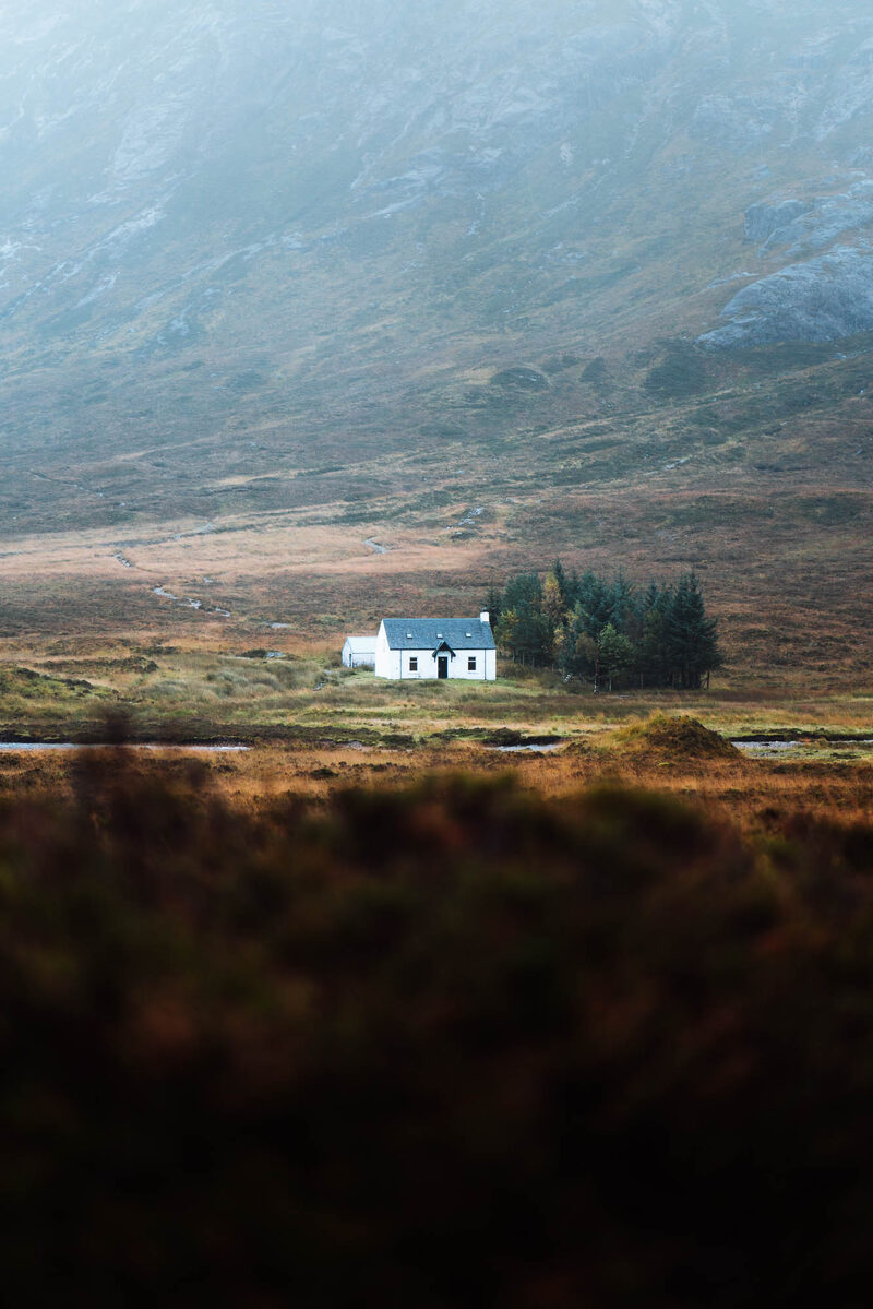 3 min by roadThings to doLagangarbhA small white climbers' hut at the foot of Buachaille Etive Mor at the head of Glen Coe, one of the most photographed buildings in Scotland.
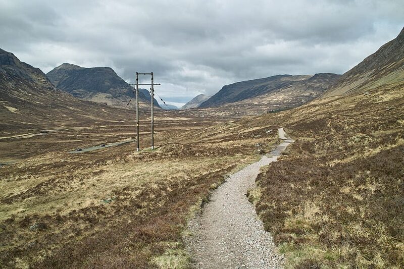 3 min by roadThings to doThe Devil’s StaircaseThe zigzag path from Altnafeadh up to 550 metres, the highest point of the West Highland Way, with the Buachaille behind you.
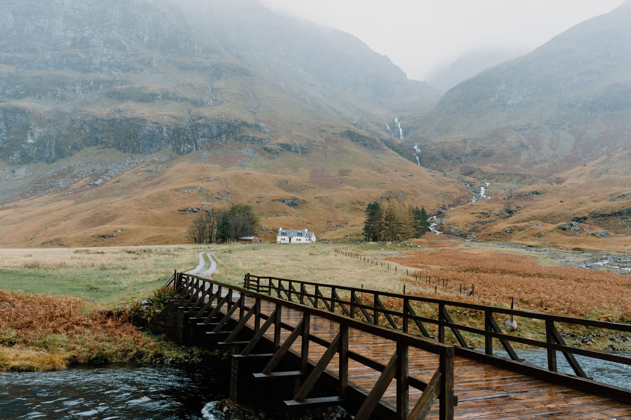 3 min by roadThings to doLoch AchtriochtanA small loch on the floor of Glen Coe below the Three Sisters, with Ossian's Cave high on the cliff above.
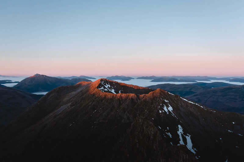 4 min by roadThings to doAonach EagachGlen Coe's northern wall, famed as the narrowest ridge on the British mainland: a serious scramble between two Munros.
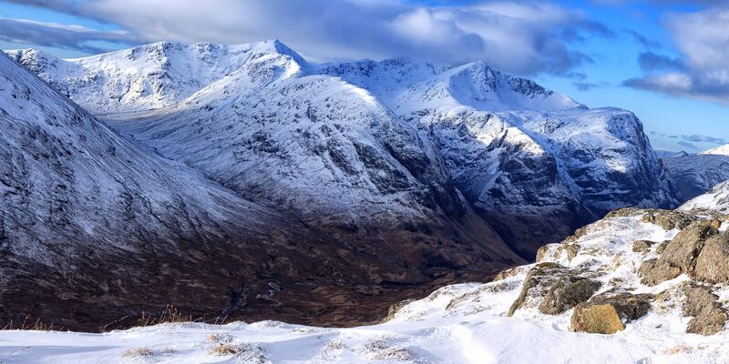 6 min by roadThings to doThe Lost ValleyThe hidden valley among the Three Sisters of Glen Coe where the MacDonalds kept their rustled cattle, reached by a short, rough climb.
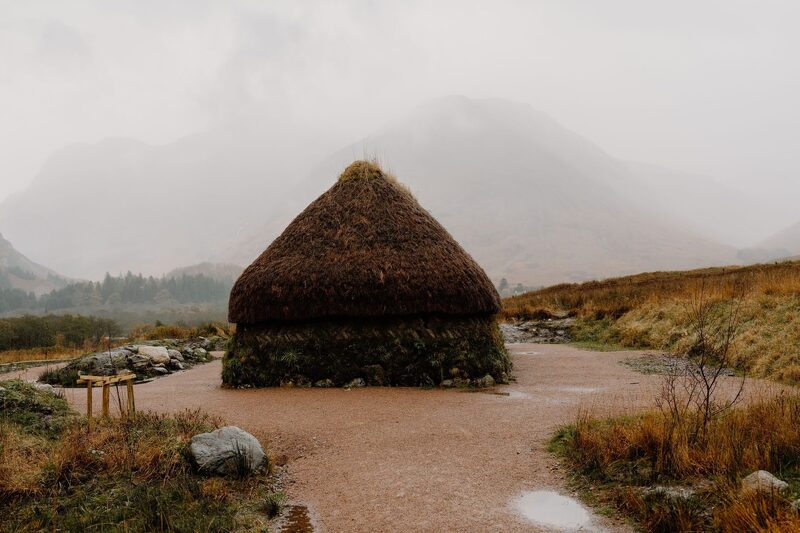 9 min by roadThings to doGlencoe Visitor CentreThe National Trust for Scotland's eco-friendly visitor centre in Glencoe, with a giant 3D map of the glen, an exhibition, a cafe and a reconstructed turf house.
Places to stay near the walk
Our places to stay nearest the start, by road.
An advert · Ballachulish
RiverBeds at Woodlands Glencoe
RiverBeds, the wee lodges for two at Woodlands Glencoe near Ballachulish, each with its own Jacuzzi hot tub on a veranda over the river.
Sleeps 2 · 14 minutes by road
See RiverBeds at Woodlands Glencoe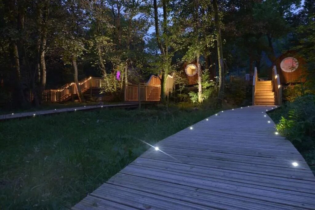
More walks near here
Within a short drive of the start.
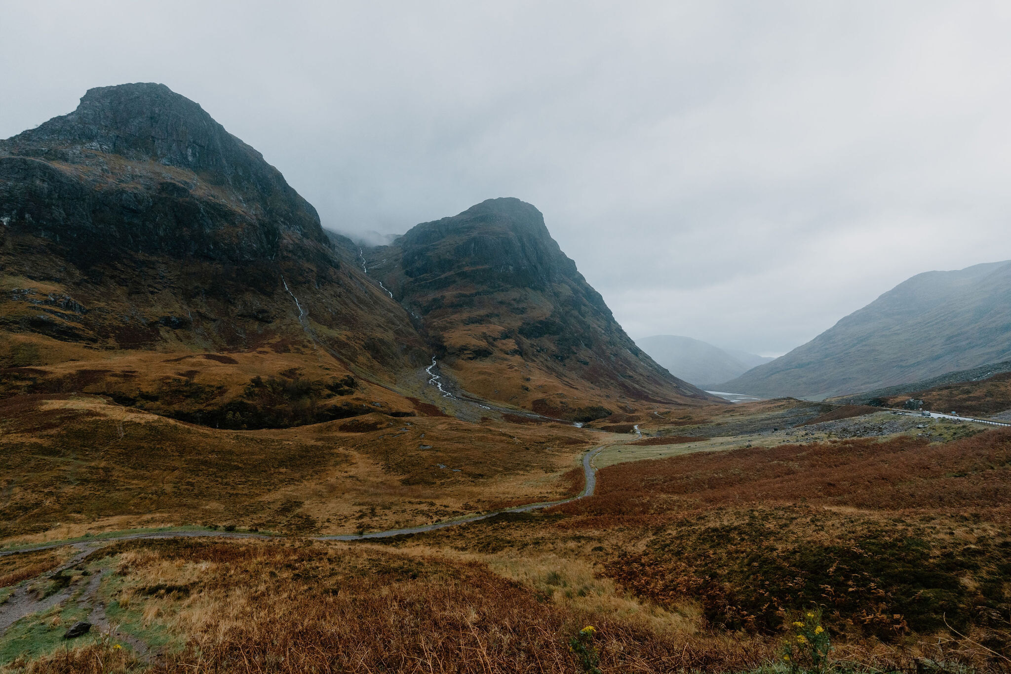 2 min by roadA hillBidean nam Bian6 miles, about 6 to 7 hours
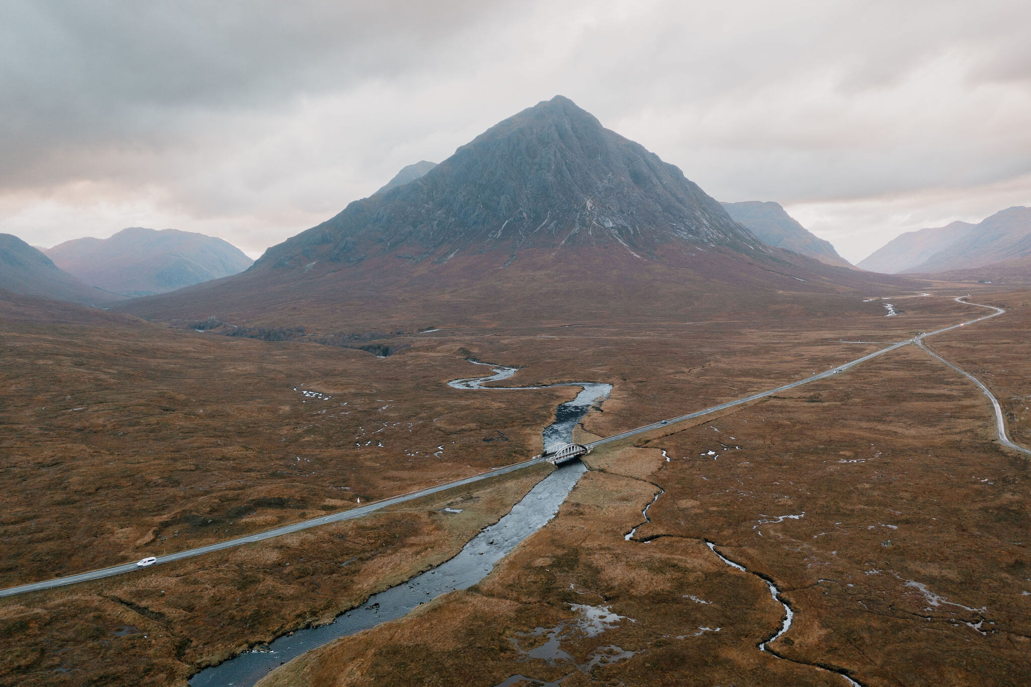 3 min by roadA hillStob Dearg4 miles, about 4 to 5 hours
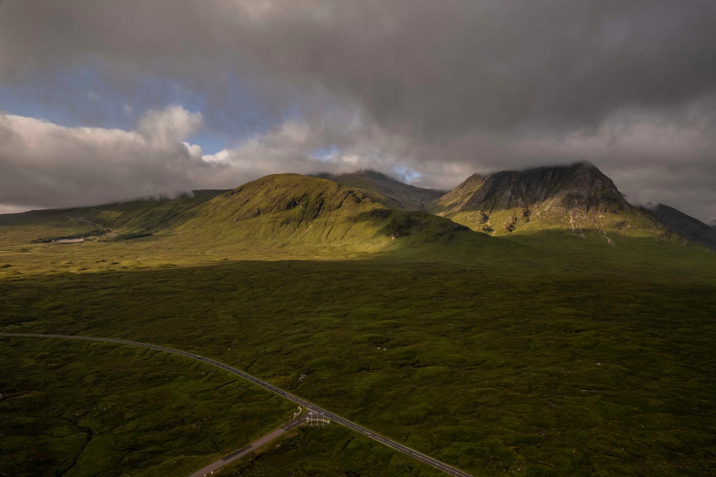 9 min by roadA hillMeall a' Bhuiridh4 miles, about 3 to 4 hours
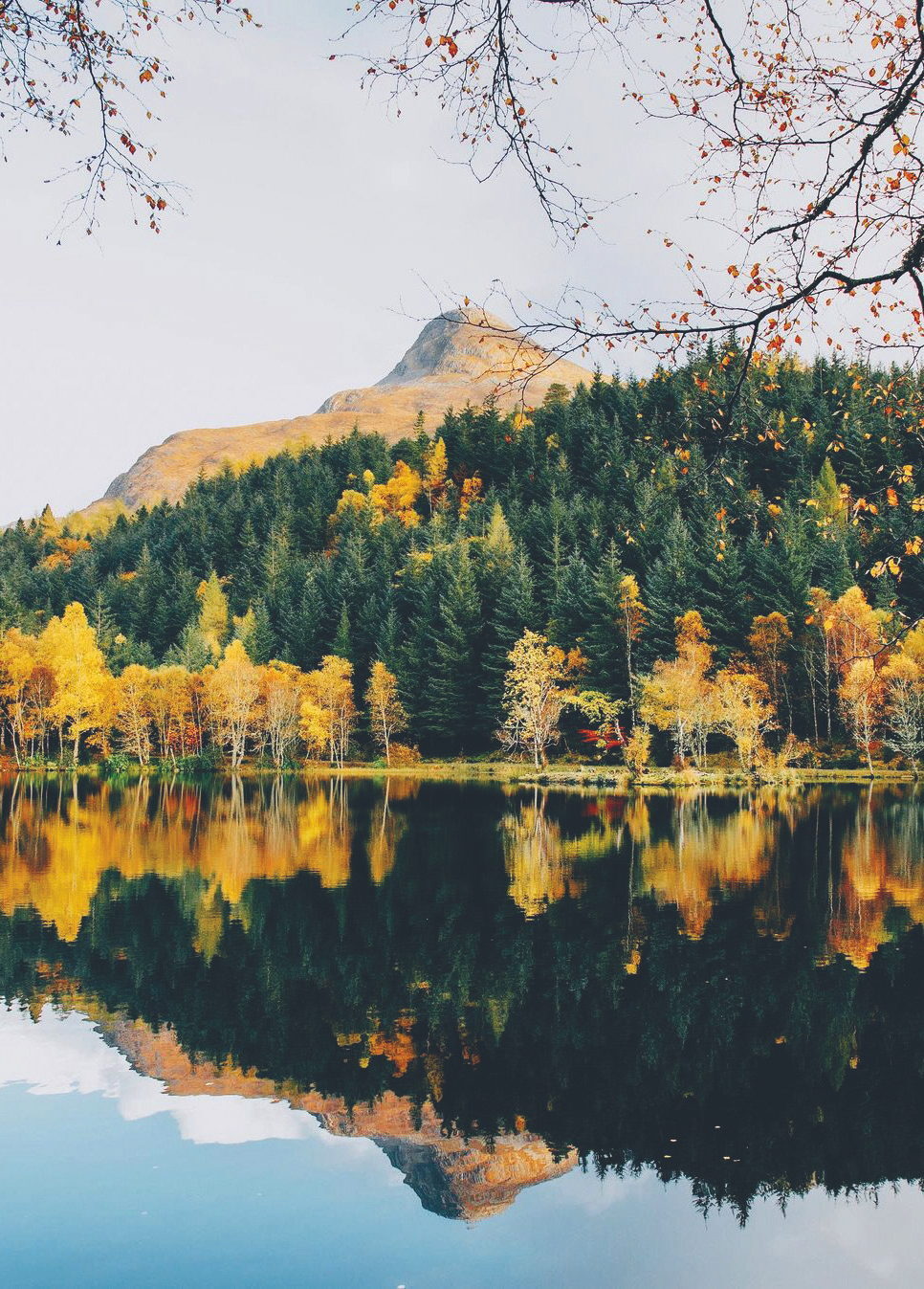 11 min by roadA hillThe Pap of Glencoe4½ miles, about six hours
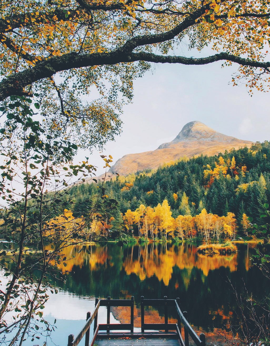 11 min by roadA strollGlencoe LochanA mile, half an hour to an hour
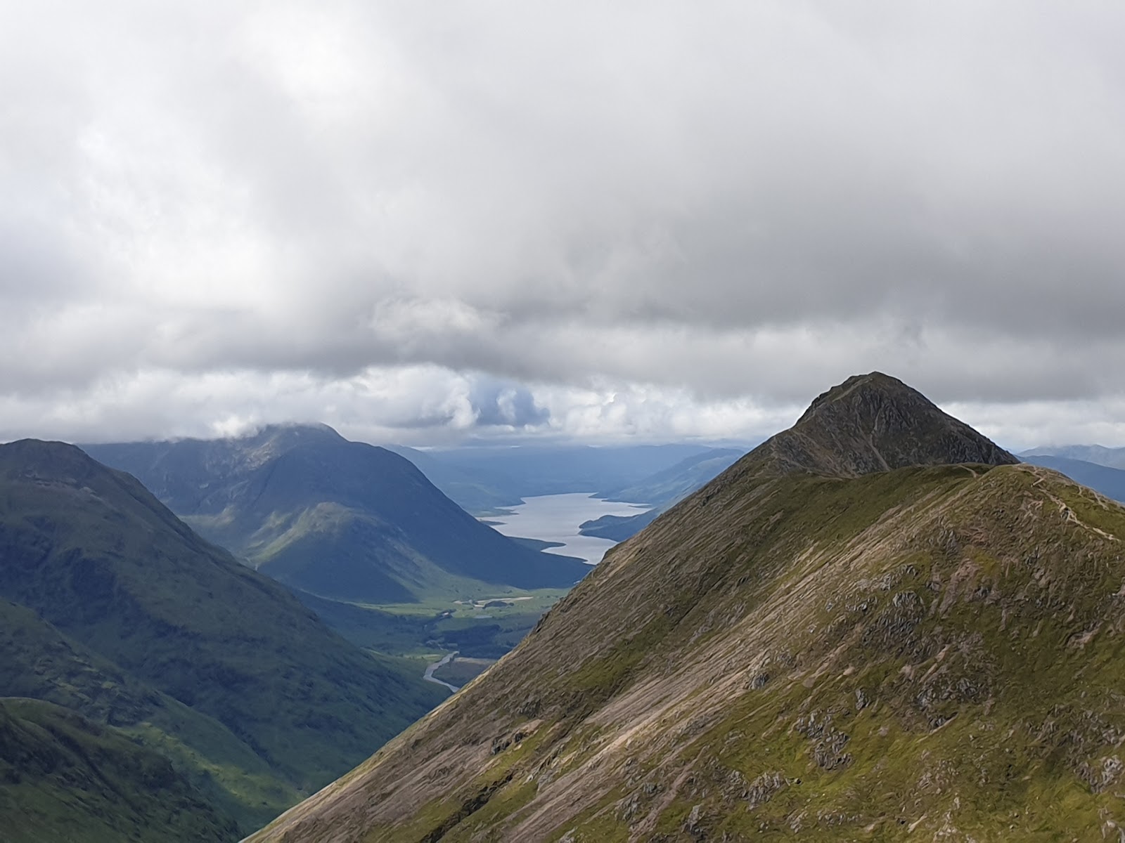 0 min by roadA hillStob Dubh4 miles, about 4 to 5 hours
Did this walk?
Tell the next person how it went. The best go on this page, with your name.
Find out more
For further reading, before you go.
- Stob Coire Raineach, the Munro page, Hidden Scotland↗
- West Highlands forecast, Mountain Weather Information Servicemwis.org.uk↗
- Stob Coire Raineach summit forecast, Met Officeweather.metoffice.gov.uk↗
- Glencoe avalanche forecast, Scottish Avalanche Information Servicesais.gov.uk↗
- Stalking tables for the Central Highlands, Heading for the Scottish Hillsoutdooraccess-scotland.scot↗
- The Lairig Eilde, ScotWaysscotways.com↗
- Glencoe Mountain Rescue Teamglencoemountainrescue.org.uk↗
- Calling for help, Mountaineering Scotlandmountaineering.scot↗
Photograph by Neil Purves via Google
Maps from OpenFreeMap © OpenMapTiles, data © OpenStreetMap contributors; heights from Mapzen's terrain tiles.