
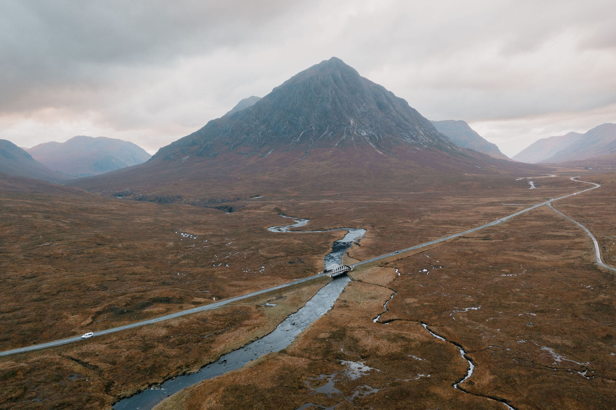
Stob Dearg – Up Coire na Tulaich from Altnafeadh
4 miles · 4 to 5 hours · a hill · there and back
free parking
Stob Dearg, 1,021 metres, is the higher of the two Munros on Buachaille Etive Mor, the mountain at the eastern end of Glen Coe.
Its usual way up leaves the A82 at Altnafeadh, crosses the River Coupall and climbs the steep, loose corrie of Coire na Tulaich to the ridge. It goes east up a stony path to the summit, and back the same way. By our map it is about 6.75 km there and back with about 770 metres of climb, and it takes about 4 to 5 hours. It is a serious hill, with a loose headwall, cliffs beside the summit and a corrie known for avalanches: for experienced hillwalkers who can find their way with a map and compass.
Where it starts
Start at the parking area at Altnafeadh, on the south side of the A82 about 4 km west of the Kingshouse Hotel, at grid reference NN 220 563, with a smaller lay-by across the road.
Is it for me?
Tap who is coming, or the day you have, for the answer on this walk.
Before you go
Getting there
Parking is free, by our map. It is very busy in summer and at weekends, and Mountaineering Scotland calls the parking there inadequate and increasingly dangerous. The start is reached by the A82 at the head of Glen Coe, about 4 km west of the Kingshouse Hotel, one guide says. No bus stop is mapped at Altnafeadh.
On the path
About 4 to 5 hours there and back: about 6.75 km (4¼ miles) and 770 metres of climb by our map. From Altnafeadh on the A82 over the River Coupall by a footbridge, past Lagangarbh and up the steep, loose corrie of Coire na Tulaich to the ridge, then east to the summit, 1,021 metres, and back the same way. A track and a footbridge with steps, then a rough, rebuilt path up the corrie with a burn to ford. The headwall is steep and loose, with scree and rock where hands are needed now and then. It climbs about 470 metres from the burn to the ridge in about 1.3 km. A steep, serious Munro with a loose headwall, cliffs beside the summit and a fast road at the start: for older children used to rough hill days, with an adult who can navigate. The map to carry is OS Explorer 384, Glen Coe & Glen Etive (Ballachulish & Kinlochleven) (1:25,000); OS Landranger 41, Ben Nevis, Fort William & Glen Coe (1:50,000) shows the country round it.
Good to know
Summer and early autumn in daylight, on a clear, dry day with a good forecast: the parking at Altnafeadh fills in summer and at weekends. Keep dogs close at the parking and beside the A82, a fast trunk road, and under control on the hill. The loose headwall is hard going for a dog. No source read lists toilets at Altnafeadh, so plan for none. Heading for the Scottish Hills lists no stalking issues on Buachaille Etive Mor, which the National Trust for Scotland manages. Under snow Coire na Tulaich is an avalanche blackspot, in the Glencoe avalanche forecast's area.
The walk
The usual way up Stob Dearg starts at Altnafeadh, on the A82 at the head of Glen Coe. It crosses the River Coupall by a footbridge, passes the Lagangarbh hut and climbs the steep, loose corrie of Coire na Tulaich to the ridge. Then it turns east up a stony path to the summit. By our map it is about 6.75 km (4¼ miles) there and back, with about 770 metres of climb. Allow about 4 to 5 hours, more with stops, in poor weather or under snow. The summit is 1,021 metres up, and the walk starts about 290 metres up, beside the road. No public body publishes a route, a distance or a time for it. Stob Dearg is the higher of the two Munros on Buachaille Etive Mor. Steven Fallon, MunroMagic and Get Lost Mountaineering go on along the ridge to Stob na Broige, the other, and down to the Lairig Gartain. This walk keeps to Stob Dearg, there and back.
This is a serious hill. Coire na Tulaich is the only way up this side for walkers, Get Lost Mountaineering says. The craggy north-east face above the road, with Curved Ridge and Crowberry Ridge, is ground for climbers and scramblers, Wikipedia says. The Mountaineering Council of Scotland's safety adviser has named the corrie among the main accident blackspots in the Highlands. Wikipedia records deaths on the mountain in avalanches, in a fall and from the cold.
Altnafeadh is on the A82 about 4 km west of the Kingshouse Hotel, Steven Fallon says. By our map the walk starts in the larger parking area on the south side of the road, a little below it, at grid reference NN 220 563. A smaller lay-by lies across the road. By our map the larger one is free, and Stunning Outdoors warns it may be unsuitable in freezing conditions or snow. It is very busy in summer and at weekends, Steven Fallon says, with more parking about 1 km further west. Mountaineering Scotland calls the parking at Altnafeadh inadequate and increasingly dangerous. No source read lists toilets, so plan for none. No bus stop is mapped at Altnafeadh.
The A82 here is a fast trunk road: by our map it has a 60 mph limit and no lighting. By our map it is closed to traffic in snow, and Wikipedia says permanent gates are shut across it in severe weather. Wikipedia records concern over its tourist traffic, with coaches and lorries causing congestion. It says the A82 has often been called one of the most dangerous roads in Scotland. Stunning Outdoors warns against walking along it, as it gets very busy from late morning. If you park in the lay-by across the road, cross with great care, and keep children and dogs close. Take the same care at the end of the day, on tired legs.
Before you set off, check the mountain forecast. The Mountain Weather Information Service's West Highlands forecast covers the hill, and the Met Office gives a forecast for the summit itself. Under snow, check the Scottish Avalanche Information Service's Glencoe forecast too. Carry a map and compass and know how to use them: MunroMagic says the route needs map reading and the skill to navigate with a compass.
From the parking area a short path joins the track that runs south from the road towards Lagangarbh. About 270 metres out the track crosses the River Coupall by a wooden footbridge, with a few steps at each end on our map. The path goes on past Lagangarbh, the white hut at the foot of the hill. It belongs to the National Trust for Scotland, and members of Mountaineering Scotland and its clubs book it ahead. It is not a public shelter, and there is no camping and no fires near it. About 200 metres past the hut the path forks. Keep right, for Coire na Tulaich. The left fork heads south-east under the north-east face, and is not this walk.
The path climbs south into Coire na Tulaich and crosses its burn, the Allt Coire na Tulaich, about 1.3 km out, by our map with no bridge. From there, Walking Britain says, it keeps to the west bank of the burn. It is steep in places but well made, with rock steps along most of it, one walker found. Steven Fallon warns of loose ground and rough slabs in the corrie that can catch hillwalkers out. Streams can rise markedly in a day after rain, MunroMagic warns. By our map short crags lie about 30 metres east of the path near the burn, and a bigger cliff about 100 metres south-east, a little higher.
The corrie steepens at its head, under the ridge. By our map the path climbs about 470 metres from the burn to the ridge in about 1.3 km, and about 50 metres in its steepest 100 metres, high on the headwall. Get Lost Mountaineering says hands will be needed on occasion, though it would not call it scrambling. Higher up, it says, the path keeps right, above the floor of the gully on grey rock, away from the red scree in the middle. Near the top it goes back left onto red rock and picks its way to the crest. Stunning Outdoors calls the very last climb to the ridge a short scramble, and MunroMagic marks minor scrambling, steep slopes and crags. One walker found the last climb to the ridge loose and slippery, and slipped and fell more than once on the way down. Take it slowly, and keep to the path.
The path tops out on the ridge at the head of the corrie, about 2.6 km out and about 870 metres up, where a cairn marks the top of the way down. A path goes on west along the ridge to Stob na Doire and Stob na Broige. Turn left, east, for Stob Dearg. Note the cairn: in mist it is the place to find again, as the way down the corrie leaves the ridge here, heading north.
From the head of the corrie a clear path zigzags up onto the crest of Stob Dearg, Steven Fallon says, and the ground turns from grass to pink, loose rock and scree. By our map it is about 770 metres on and about 140 metres higher. Get Lost Mountaineering finds a large summit cairn, with a shelter cairn, at the end of the ridge. By our map the north and east sides of the summit fall away in crags and cliffs to the north-east face. By our map Rannoch Wall lies among them, beside Crowberry Ridge: climbers' ground, and never the way. The worn path runs on about 130 metres north-east beyond the summit to the top of Curved Ridge. That is a grade 3 scramble up the face, Steven Fallon says, and never a way down. Keep back from the edges, and come back the way you came.
In mist the ridge and the head of the corrie can be hard to read. Visibility can change markedly with the cloud level, MunroMagic warns, and on open ground in poor visibility a path alone may get you lost. In January 1983, the Glencoe Mountain Rescue Team records, three young men died in Coire na Tulaich coming down in a gale, driving snow and poor visibility. If the cloud comes down, the wind rises or anyone is tiring, turn back by the way you came.
The Heading for the Scottish Hills tables say the National Trust for Scotland manages Buachaille Etive Mor, both its Munros, with no stalking issues.
Under snow Stob Dearg is a winter mountain, and Coire na Tulaich is one of the most dangerous places on it. Get Lost Mountaineering says the corrie is very prone to avalanches when it holds snow and should then be avoided, after many deaths in winter. The Glencoe Mountain Rescue Team calls it well known as a Scottish avalanche blackspot. Mountaineering Scotland names it as a terrain trap, where avalanche debris piles up rather than running away downhill. An avalanche in the corrie killed three people in January 2009, Wikipedia records. In February 2014 two avalanches crossed the main path up and down, and the avalanche service warns that the guard may drop on the way down. The top of the corrie may be corniced in winter, Steven Fallon warns. Check the Glencoe avalanche forecast: before its full winter service begins, no forecast does not mean no risk. Go then only with winter gear and the experience to use it.
The way down is the way you came, and it needs as much care as the way up. From the summit follow the path back west to the cairn at the head of the corrie, and turn right, north, down into Coire na Tulaich. The path straight on goes along the ridge to Stob na Doire. Walking Britain warns that the first steep section down into the corrie needs care. Go down slowly over the loose ground, then on down the corrie, back across the burn and past Lagangarbh, keeping on where a path joins from the right. Cross the footbridge and walk up the track to the road. In an emergency call 999 or 112 and ask for Police and Mountain Rescue, Mountaineering Scotland says. Give a six-figure grid reference and a named feature if you can. To be able to text 999 where a call will not connect, register first by texting the word register to 999.
If it rains
None on this walk: in rain, low cloud or a high wind, leave the summit for another day. The headwall of the corrie is steep and loose, and slippery when wet, and the burn can rise fast after rain. If the cloud comes down, turn back by the way you came.
After the walk
Something to do with the rest of the day, nearest the end of the walk first.
With the rest of the day
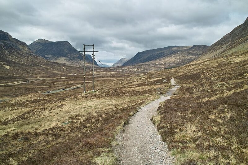 0 min by roadThings to doThe Devil’s StaircaseThe zigzag path from Altnafeadh up to 550 metres, the highest point of the West Highland Way, with the Buachaille behind you.
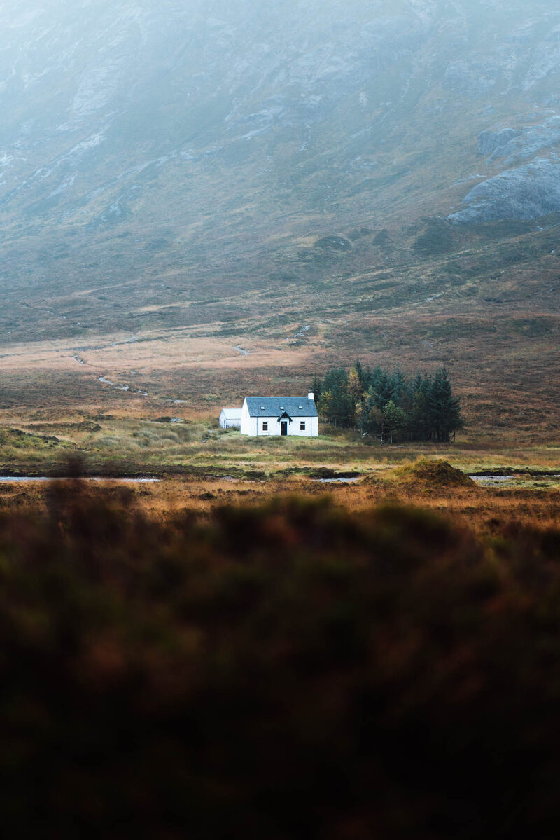 0 min by roadThings to doLagangarbhA small white climbers' hut at the foot of Buachaille Etive Mor at the head of Glen Coe, one of the most photographed buildings in Scotland.
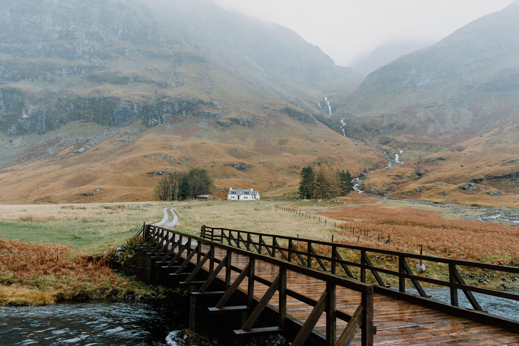 6 min by roadThings to doLoch AchtriochtanA small loch on the floor of Glen Coe below the Three Sisters, with Ossian's Cave high on the cliff above.
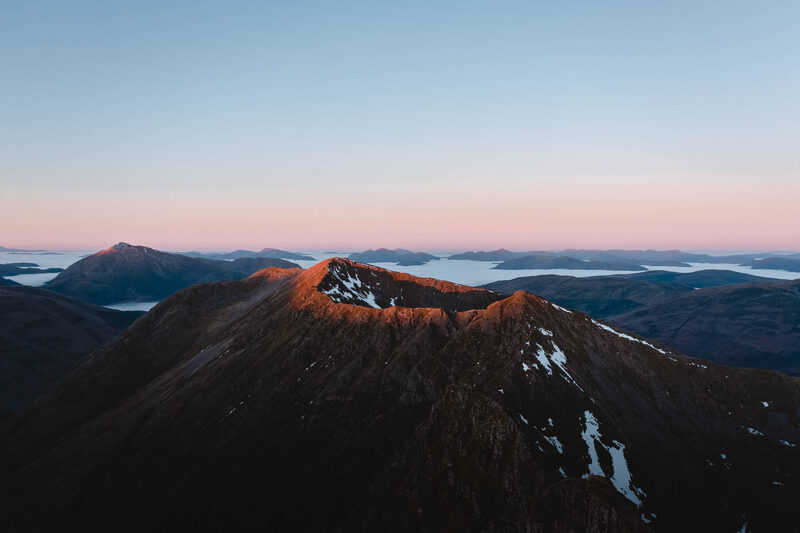 7 min by roadThings to doAonach EagachGlen Coe's northern wall, famed as the narrowest ridge on the British mainland: a serious scramble between two Munros.
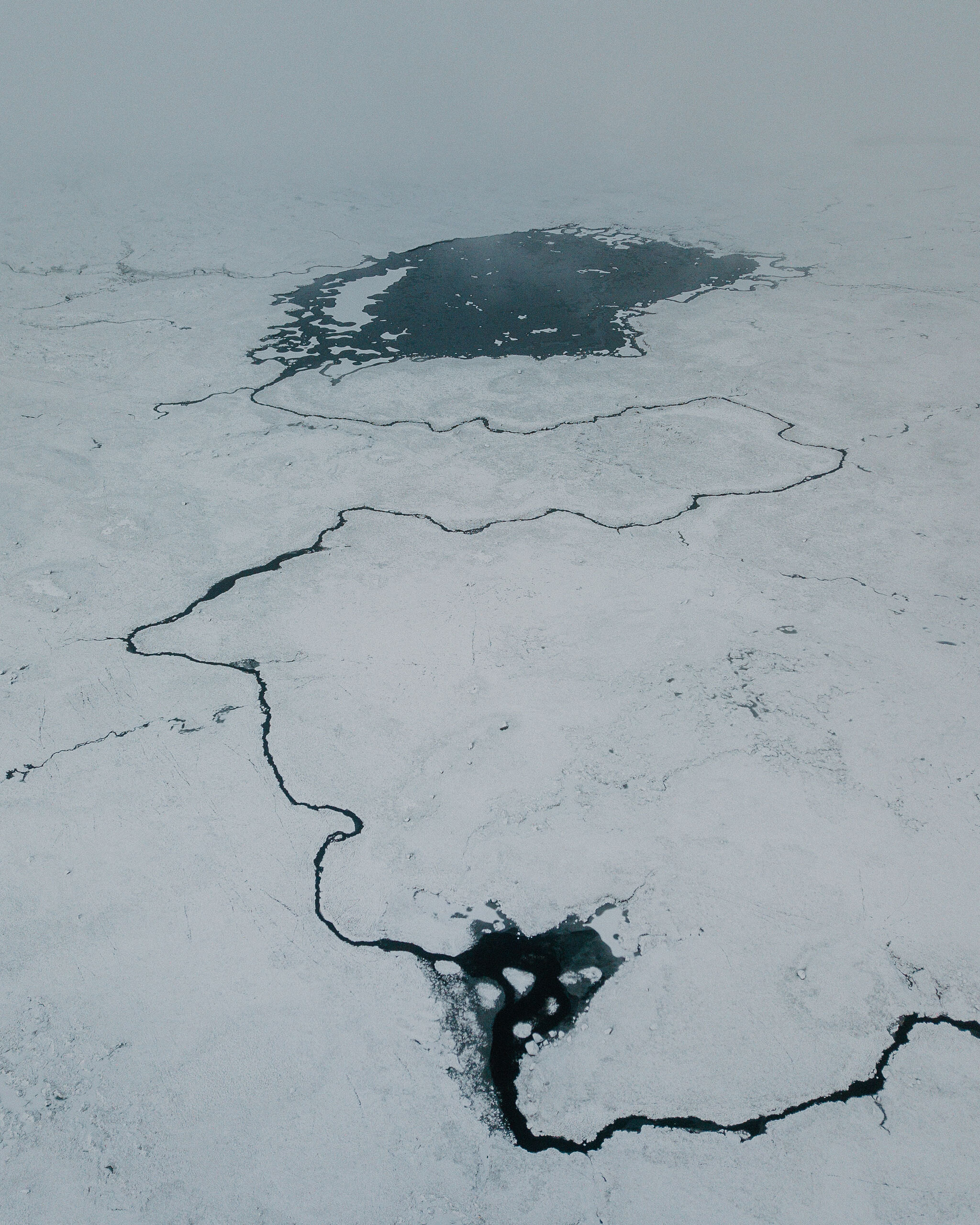 8 min by roadThings to doRannoch Moor ViewpointLay-bys on the A82 across Rannoch Moor, looking over lochans and bog to the Black Mount, with pines on islets of peat.
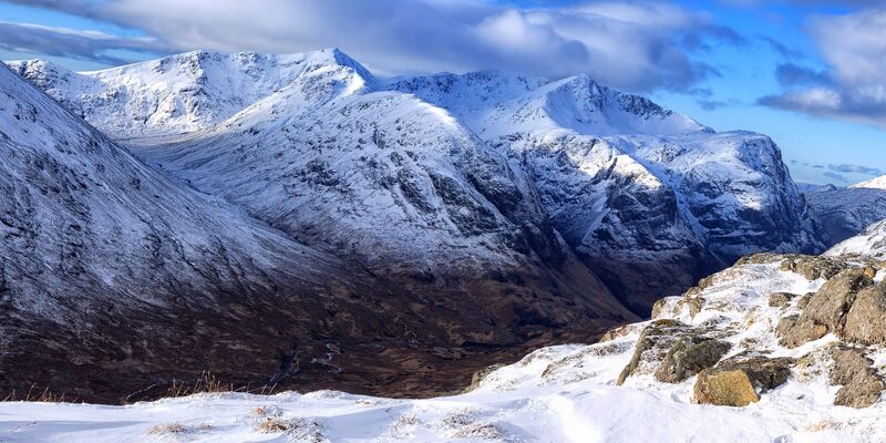 8 min by roadThings to doThe Lost ValleyThe hidden valley among the Three Sisters of Glen Coe where the MacDonalds kept their rustled cattle, reached by a short, rough climb.
Places to stay near the walk
Our places to stay nearest the start, by road.
An advert · Ballachulish
RiverBeds at Woodlands Glencoe
RiverBeds, the wee lodges for two at Woodlands Glencoe near Ballachulish, each with its own Jacuzzi hot tub on a veranda over the river.
Sleeps 2 · 17 minutes by road
See RiverBeds at Woodlands Glencoe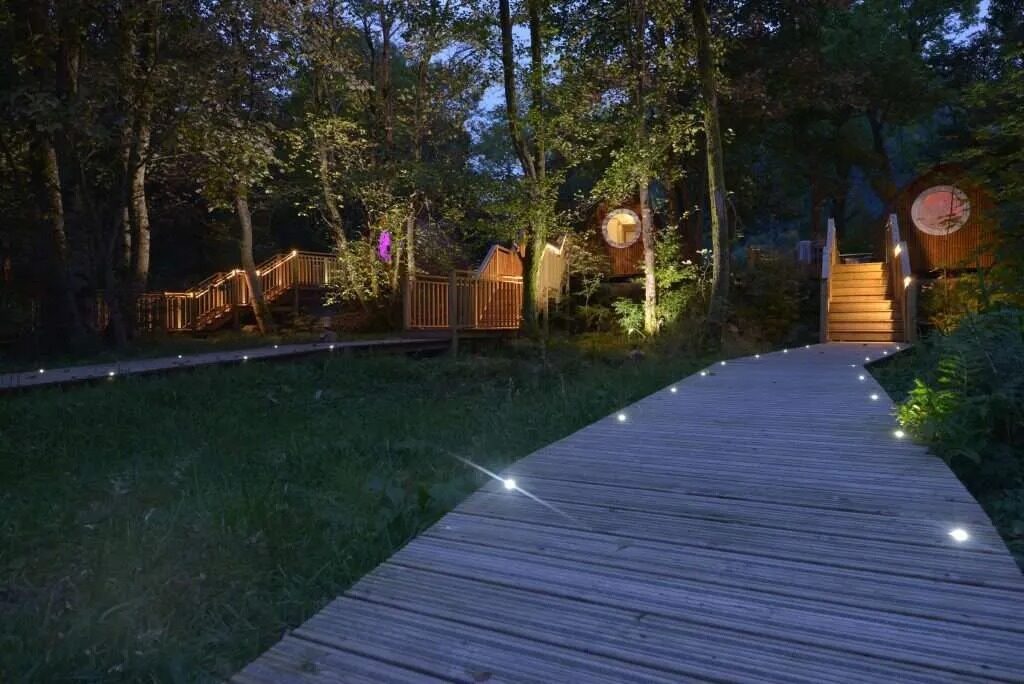
More walks near here
Within a short drive of the start.
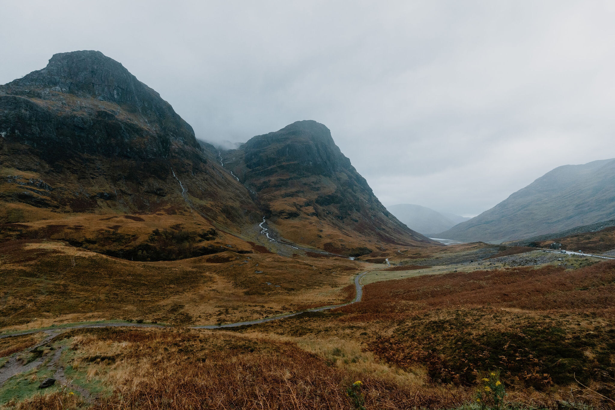 5 min by roadA hillBidean nam Bian6 miles, about 6 to 7 hours
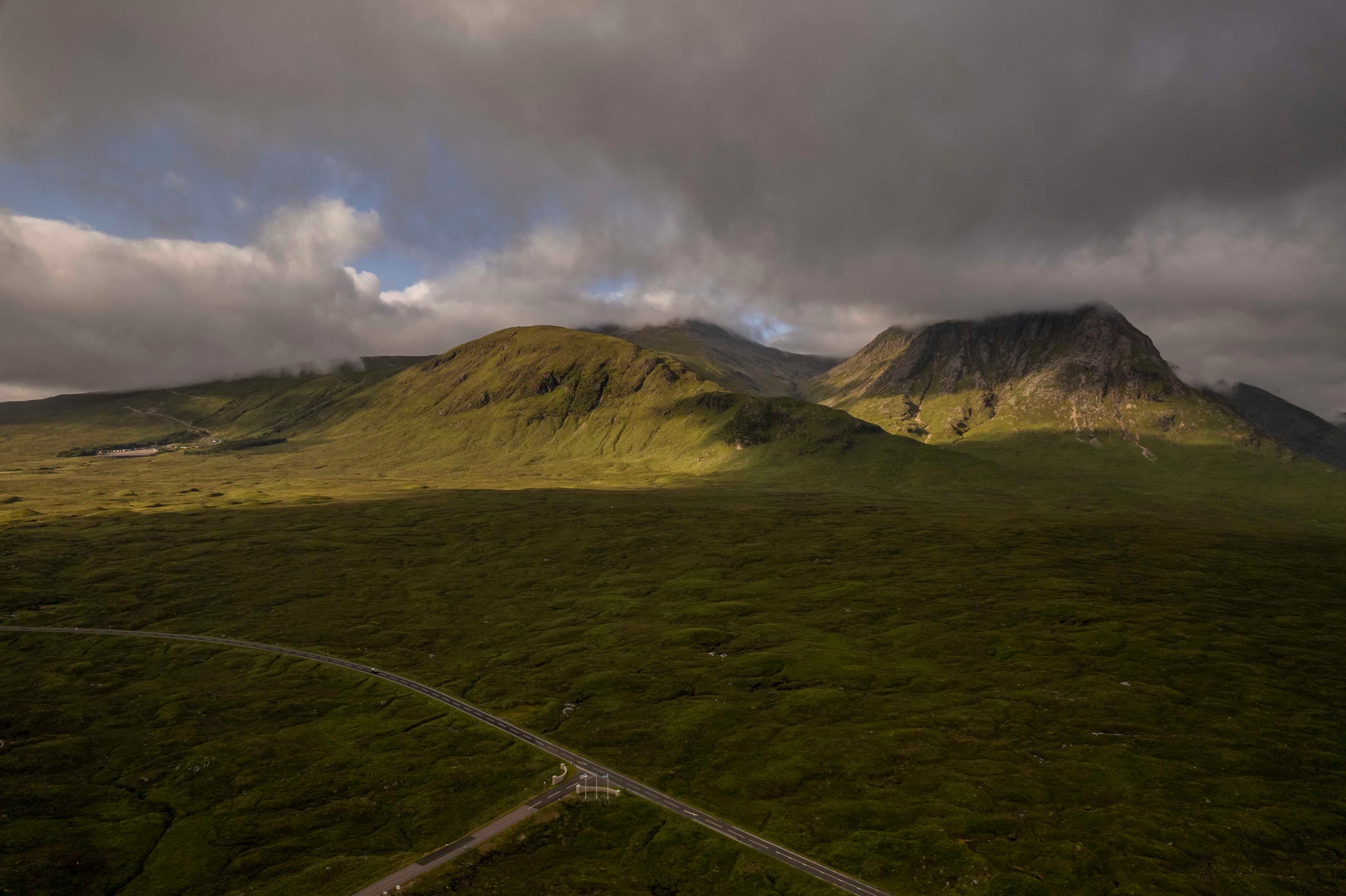 6 min by roadA hillMeall a' Bhuiridh4 miles, about 3 to 4 hours
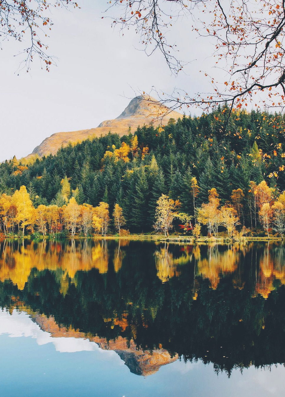 13 min by roadA hillThe Pap of Glencoe4½ miles, about six hours
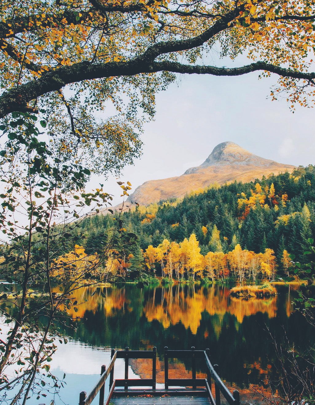 14 min by roadA strollGlencoe LochanA mile, half an hour to an hour
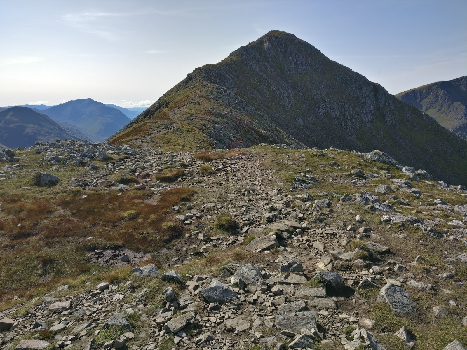 3 min by roadA hillStob Coire Raineach3 miles, about 3 to 4 hours
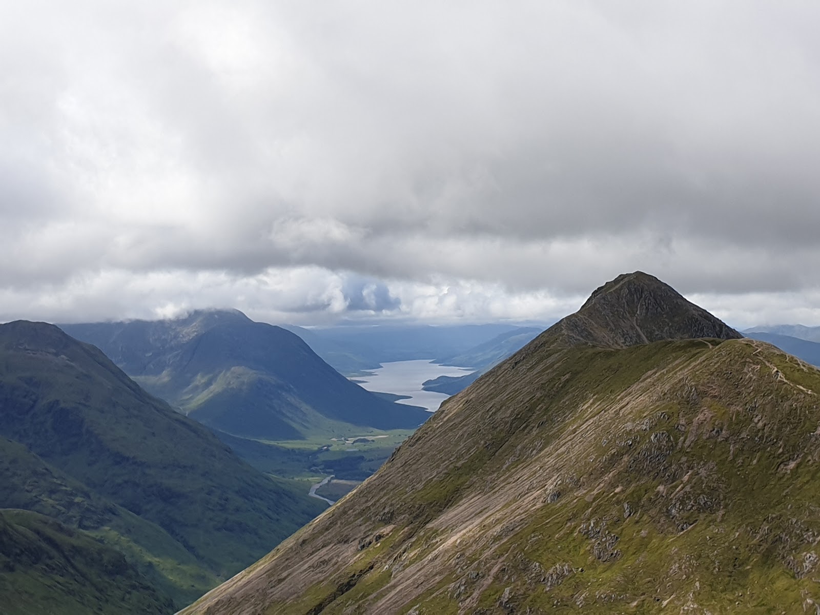 3 min by roadA hillStob Dubh4 miles, about 4 to 5 hours
Did this walk?
Tell the next person how it went. The best go on this page, with your name.
Find out more
For further reading, before you go.
- Stob Dearg, the Munro page, Hidden Scotland↗
- West Highlands forecast, Mountain Weather Information Servicemwis.org.uk↗
- Stob Dearg summit forecast, Met Officeweather.metoffice.gov.uk↗
- Glencoe avalanche forecast, Scottish Avalanche Information Servicesais.gov.uk↗
- Avalanche terrain traps, Mountaineering Scotlandmountaineering.scot↗
- Stalking tables for the Central Highlands, Heading for the Scottish Hillsoutdooraccess-scotland.scot↗
- Glencoe Mountain Rescue Teamglencoemountainrescue.org.uk↗
- Calling for help, Mountaineering Scotlandmountaineering.scot↗
Maps from OpenFreeMap © OpenMapTiles, data © OpenStreetMap contributors; heights from Mapzen's terrain tiles.