
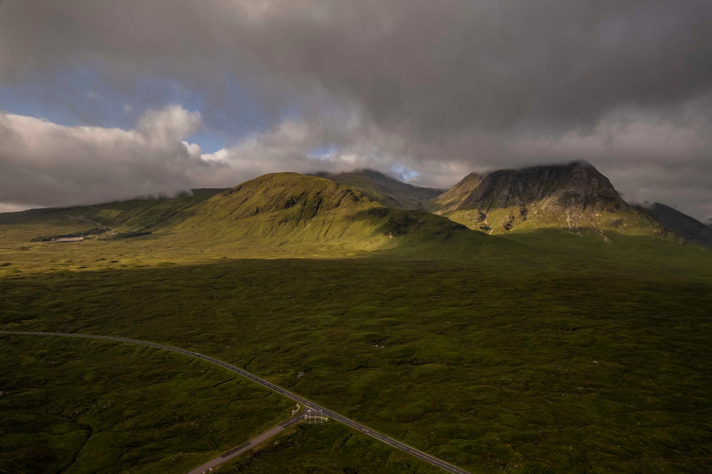
Meall a' Bhuiridh – Up the North Ridge from the Ski Centre
4 miles · 3 to 4 hours · a hill · there and back
toilets
Meall a' Bhuiridh, 1,108 metres, is the hill of the Glencoe Mountain resort, on the edge of Rannoch Moor above the A82.
Climbed on its own, the usual way goes up a footpath under the resort's chairlift, across Coire Pollach and up the broad north ridge to the summit, and back the same way. By our map it is about 6.75 km there and back with about 750 metres of climb, and it takes about 3 to 4 hours. It is a big, bouldery hill above a ski area, with a sheer drop beyond the summit and avalanche ground under snow: for hillwalkers who can find their way with a map and compass.
Where it starts
Start at the Glencoe Mountain resort's car park at the end of its road off the A82, grid reference NN 266 525.
Is it for me?
Tap who is coming, or the day you have, for the answer on this walk.
Before you go
Getting there
The resort's pages give no price for parking; Scottish Adventures says charges may apply in the ski season, and gave a donation of two pounds. The start is reached by the resort's road, which leaves the A82 about a mile west-north-west of the Kingshouse Hotel. By our map buses on the A82 stop at the foot of the road, about 1.2 km from the car park: check the timetable.
On the path
About 3 to 4 hours there and back: about 6.75 km (4¼ miles) and 750 metres of climb by our map. From the Glencoe Mountain resort's car park up the footpath under the chairlift, across Coire Pollach and up the north ridge to the summit, 1,108 metres, and back the same way. A steep, rough, rubbly footpath under the chairlift, crossing the downhill bike track; boggy ground in Coire Pollach; then a broad ridge that grows steep and bouldery to a bouldery summit with a sheer drop beyond it. Still a big mountain, with a steep, rough path, a bouldery ridge and a sheer drop beyond the summit, where mist comes in fast: for children used to hill days, with an adult who can navigate. The map to carry is OS Landranger 41, Ben Nevis, Fort William & Glen Coe (1:50,000).
Good to know
Summer and early autumn in daylight, on a clear day with a good forecast. Scottish Adventures finds the path manageable for fit dogs in summer, and the winter hill too demanding for most. Keep dogs close. By our map toilets stand by the base café and near the chairlift's top station. None on the hill. In winter the hill's northern slopes are a working ski area: ask at the resort before you go up, and keep clear of the runs and tows. Under snow it is a winter mountain in the core of the Glencoe avalanche forecast: read it before you go. Deer management may take place at any time of year.
The walk
The usual way up Meall a' Bhuiridh starts at the Glencoe Mountain resort's car park, off the A82 on the edge of Rannoch Moor. It climbs a signed footpath under the resort's chairlift to the plateau by its top station. Then it crosses Coire Pollach and climbs the hill's broad north ridge to the summit. By our map it is about 6.75 km (4¼ miles) there and back, with about 750 metres of climb. Allow about 3 to 4 hours, more with stops, in poor weather or under snow. The summit is 1,108 metres up, and the walk starts about 360 metres up. No public body publishes this way up, a distance or a time for it. Most walkers go on west along the ridge to Creise, about 1.2 km away, over a steep, loose descent and a short scramble. Some come the other way, up Sron na Creise and over Stob a' Ghlais Choire, a scramble in places. This walk keeps to Meall a' Bhuiridh, there and back.
The resort gives its car park's grid reference as NN 266 525. It lies at the end of a minor road that leaves the A82 about a mile west-north-west of the Kingshouse Hotel, Get Lost Mountaineering says, and Steven Fallon calls the parking ample. The resort's pages read today give no charge. Scottish Adventures says charges may apply in the ski season, and paid a £2 donation. By our map there are toilets by the base café, a few metres from the start. Its White Corries Café is beside the car park, with hours that change through the year and in bad weather. By our map buses on the A82 stop at the foot of the resort's road, about 1.2 km from the car park as the crow flies: check the timetable.
Before you set off, check the mountain forecast: the Mountain Weather Information Service's West Highlands forecast, and the Met Office's for the summit itself. Under snow, read the Scottish Avalanche Information Service's Glencoe forecast too. Carry a map and compass and know how to use them: visibility can change markedly with the cloud level, Munro Magic warns. Deer management may take place at any time of year, the Heading for the Scottish Hills tables say, though walkers are welcome and there are no access restrictions.
The resort's Access Chairlift runs all year from beside the car park to the plateau, at 2,200 feet, in 12 minutes, it says. It is not part of this walk. Its page read today gives the last ride up as 3.45pm in one place and 4.15pm in another, and a return as £20 for adults. The summit is far above the top station on open mountain, so plan the whole hill on foot, up and down, in case the lift has stopped. The chairlift takes walkers down only if the operators allow it, and there is no guarantee. One party caught the last chairs down only because the operators let them on just before closing, Scottish Adventures says.
From the car park, walk past the lower station of the chairlift and up the resort's road on its right-hand side, Steven Fallon says. The road ends by the resort's buildings, about 200 metres out, where a sign marks the start of the footpath. Scottish Adventures took the wrong path here at first: go between the two buildings, and look for the sign marked Footpath.
The path climbs south-west under the chairlift, beside the Allt nan Giubhas. It is very steep and rough in places, one walker found, rubbly and muddy, another says, and in wet weather it can be more of a tumbling waterfall. By our map it climbs about 46 metres in 100 metres at its steepest, about 650 metres out. Early on it crosses the resort's downhill bike track, which runs close beside the path for much of the way. The resort calls its bike tracks extremely steep, and tells riders there may be walkers on them: look both ways before you cross. Higher up the path turns rougher and looser, Steven Fallon says, then levels out and turns damp underfoot near the top station. That is about 1.1 km out and, by our map, about 660 metres up.
By the top station the resort has a viewpoint, the Eagles Rest, and by our map toilets. Its Plateau Café opens only when sledging or snowsports are running, it says. A path goes west past the top station and crosses a burn by a footbridge, about 1.3 km out. A fainter path leaves on the left just beyond it and rejoins about 2 km out: keep to the main path. It bends north-west, then west under the south side of Creag Dubh, into Coire Pollach. About 1.5 km out the path to the resort's viewpoint on Creag Dubh leaves on the right. The ground in the corrie is boggy, two walkers' reports say. Steven Fallon describes a more direct line from the top station, south-west by a track to the foot of the Cliffhanger chairlift and up grassy ground west of it. Our map has no path on that line, so this walk keeps to the mapped path by Coire Pollach, the way Munro Magic gives.
At the foot of the north ridge, about 2 km out and about 730 metres up by our map, the path turns south and climbs. The broad ridge grows steeper and more bouldery as it goes, one walker found, with a scree route of sorts zigzagging up through the boulders. By our map it climbs about 364 metres in the last 1.3 km, up to about 41 metres in 100 metres, and crosses two ski runs on the way. The remains of the ski area are scattered over the hill. In mist the lines of the lifts' supports can draw you off the path, Steven Fallon warns, and rocks surround the small burn coming down from the summit. Higher up, he says, some posts help to show the way.
The summit, 1,108 metres up and about 3.4 km out by our map, is bouldery, with a large, wide cairn. A mast and the tops of the ski tows stand a little to the east, about 120 to 140 metres from the path by our map. Beyond the summit cairn, one walker found, the ground drops sheer towards Lochan Easain in the corrie below: keep back from that side. Munro Magic warns of crags within a kilometre of the summit. From the summit a loose path goes on west down a ridge towards Creise, where the guides describe crags and scrambling: it is not this walk. Come back the way you came.
In mist the summit and the ridge are hard to read, and the ski area's tows and runs lead off in every direction. Before you leave the summit, take a bearing north for the ridge. One party who cut down towards the upper ski tows met rubble, rotten wood and scrap metal across the hillside, and warns walkers not to go that way. Keep to the path you came up. If the cloud comes down, the wind rises or anyone is tiring, turn back by the way you came.
In winter the hill's northern slopes are a working ski area, with tows, chairlifts and groomed runs, and the paths of this walk cross several runs. The resort's pages read today give no rules for walkers in the ski season: ask at the resort before you go up, and keep well clear of the runs and the tows. Its daily snow report says what is running.
Under snow Meall a' Bhuiridh is a winter mountain, and its upper slopes are avalanche ground. The Scottish Avalanche Information Service counts the hill in the core of its Glencoe forecast. In February 2010 a slide about 200 metres wide on the Cam Ghleann side, near the summit, carried two skiers about 610 metres down the hill, grough reported. The leader of the Glencoe Mountain Rescue Team said they were lucky to survive. In winter crampons and an ice axe are essential, Scottish Adventures says. It calls the ridge on to Creise exposed in winter. Check the Glencoe avalanche forecast: before its full winter service begins, no forecast does not mean no risk. Go then only with winter gear and the experience to use it.
The way down is the way you came, and it needs as much care as the way up. Go north down the ridge, then north-east and east through Coire Pollach and round Creag Dubh, where the path to its viewpoint joins on the left. Cross the footbridge to the top station, and take the footpath down under the chairlift. It is steep and rough: take your time, and watch for bikes where it crosses the bike track. In an emergency call 999 or 112 and ask for Police and Mountain Rescue, Mountaineering Scotland says. Give a six-figure grid reference and a named feature if you can. To be able to text 999 where a call will not connect, register first by texting the word register to 999.
If it rains
None on this walk: in rain, low cloud or a high wind, leave the summit for another day. The ski area's tows and runs lead off in every direction in mist, and beyond the summit the ground drops sheer. If the cloud comes down, turn back by the way you came.
After the walk
Something to do with the rest of the day, nearest the end of the walk first.
With the rest of the day
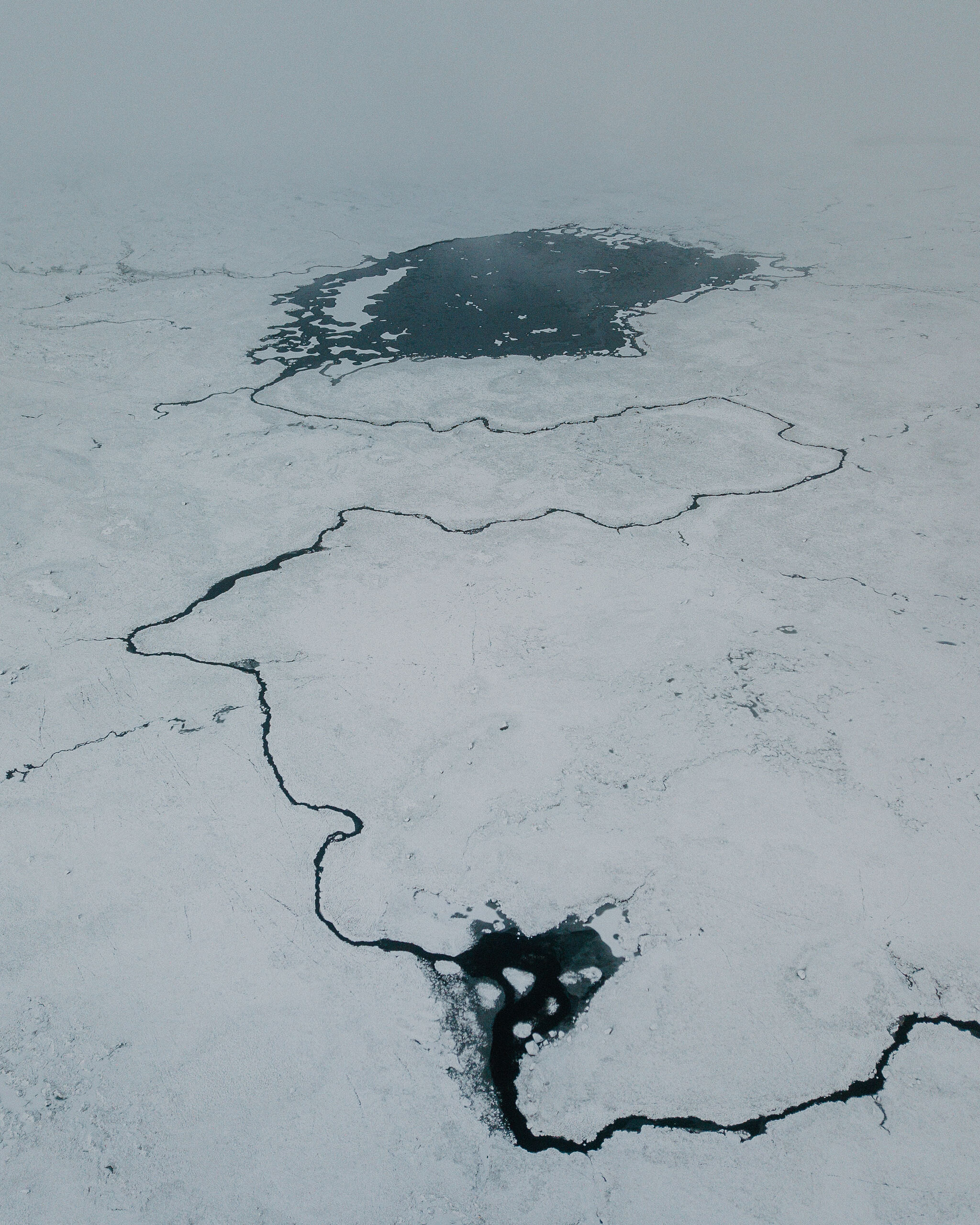 5 min by roadThings to doRannoch Moor ViewpointLay-bys on the A82 across Rannoch Moor, looking over lochans and bog to the Black Mount, with pines on islets of peat.
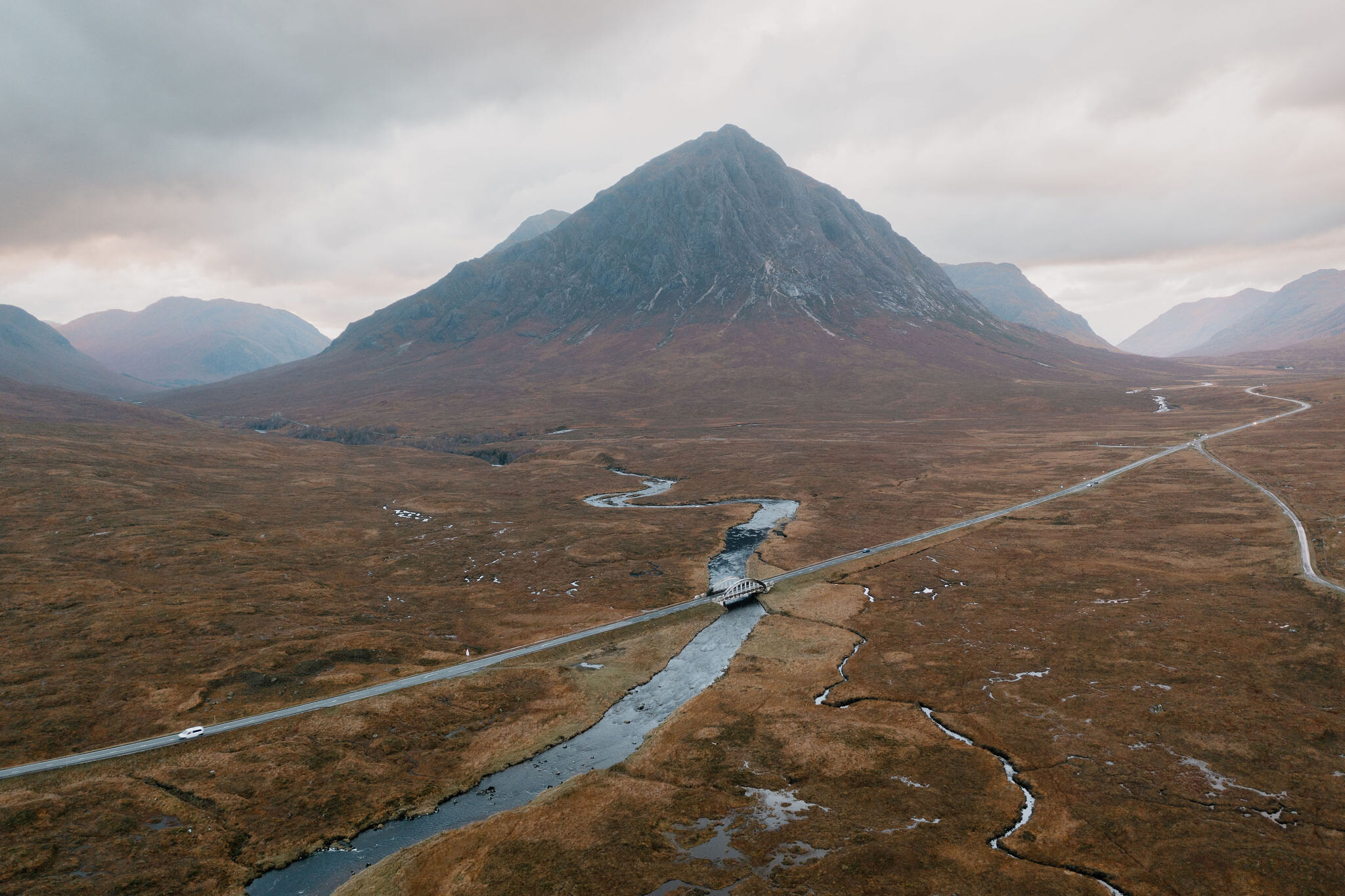
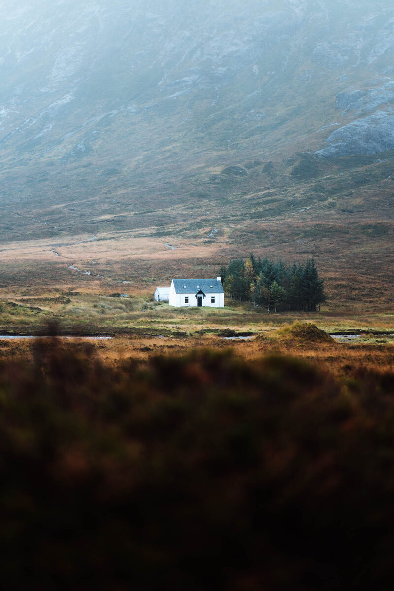 6 min by roadThings to doLagangarbhA small white climbers' hut at the foot of Buachaille Etive Mor at the head of Glen Coe, one of the most photographed buildings in Scotland.
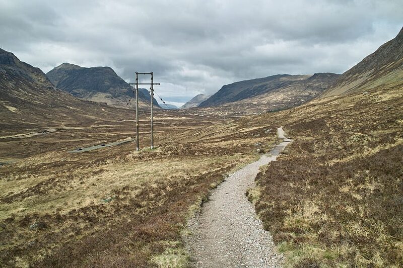 6 min by roadThings to doThe Devil’s StaircaseThe zigzag path from Altnafeadh up to 550 metres, the highest point of the West Highland Way, with the Buachaille behind you.
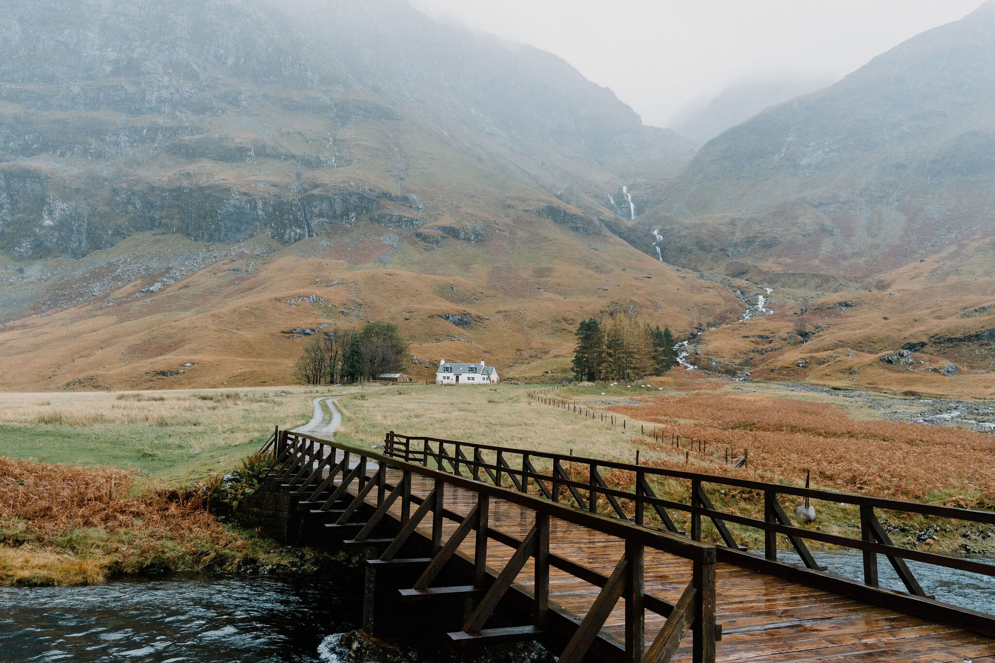 12 min by roadThings to doLoch AchtriochtanA small loch on the floor of Glen Coe below the Three Sisters, with Ossian's Cave high on the cliff above.
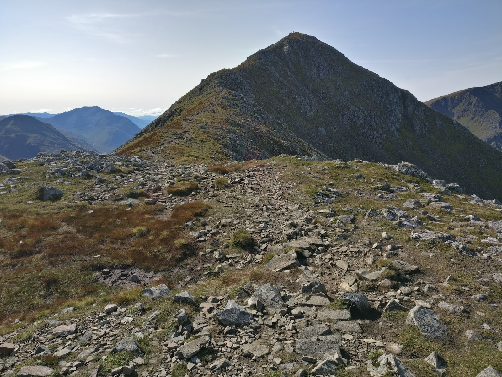
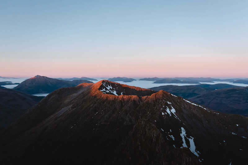 13 min by roadThings to doAonach EagachGlen Coe's northern wall, famed as the narrowest ridge on the British mainland: a serious scramble between two Munros.
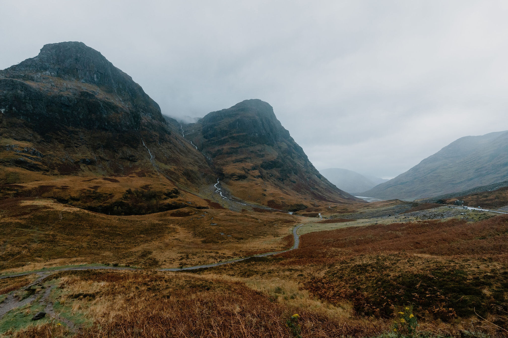
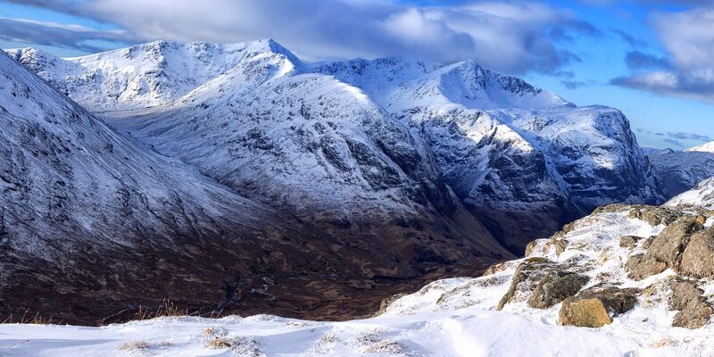 14 min by roadThings to doThe Lost ValleyThe hidden valley among the Three Sisters of Glen Coe where the MacDonalds kept their rustled cattle, reached by a short, rough climb.
Places to stay near the walk
Our places to stay nearest the start, by road.
An advert · Ballachulish
RiverBeds at Woodlands Glencoe
RiverBeds, the wee lodges for two at Woodlands Glencoe near Ballachulish, each with its own Jacuzzi hot tub on a veranda over the river.
Sleeps 2 · 23 minutes by road
See RiverBeds at Woodlands Glencoe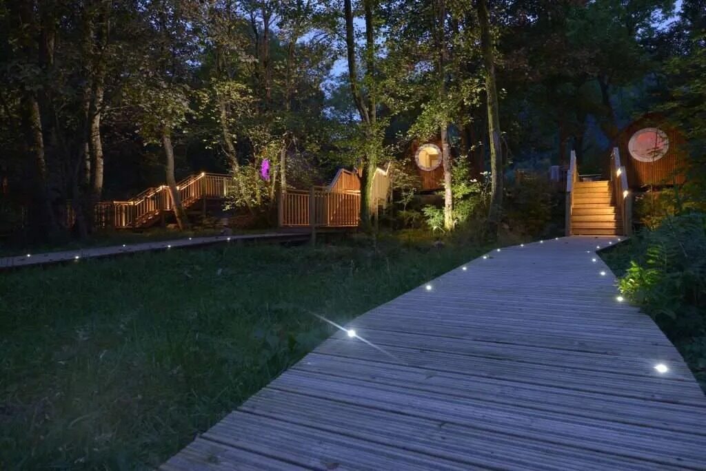
More walks near here
Within a short drive of the start.
Did this walk?
Tell the next person how it went. The best go on this page, with your name.
Find out more
For further reading, before you go.
- Meall a' Bhuiridh, the Munro page, Hidden Scotland↗
- Chairlift rides, Glencoe Mountainglencoemountain.co.uk↗
- Snow report, Glencoe Mountainglencoemountain.co.uk↗
- West Highlands forecast, Mountain Weather Information Servicemwis.org.uk↗
- Meall a' Bhuiridh summit forecast, Met Officeweather.metoffice.gov.uk↗
- Glencoe avalanche forecast, Scottish Avalanche Information Servicesais.gov.uk↗
- Heading for the Scottish Hills, central Highlands, Outdoor Access Scotlandoutdooraccess-scotland.scot↗
- Calling for help, Mountaineering Scotlandmountaineering.scot↗
Maps from OpenFreeMap © OpenMapTiles, data © OpenStreetMap contributors; heights from Mapzen's terrain tiles.