
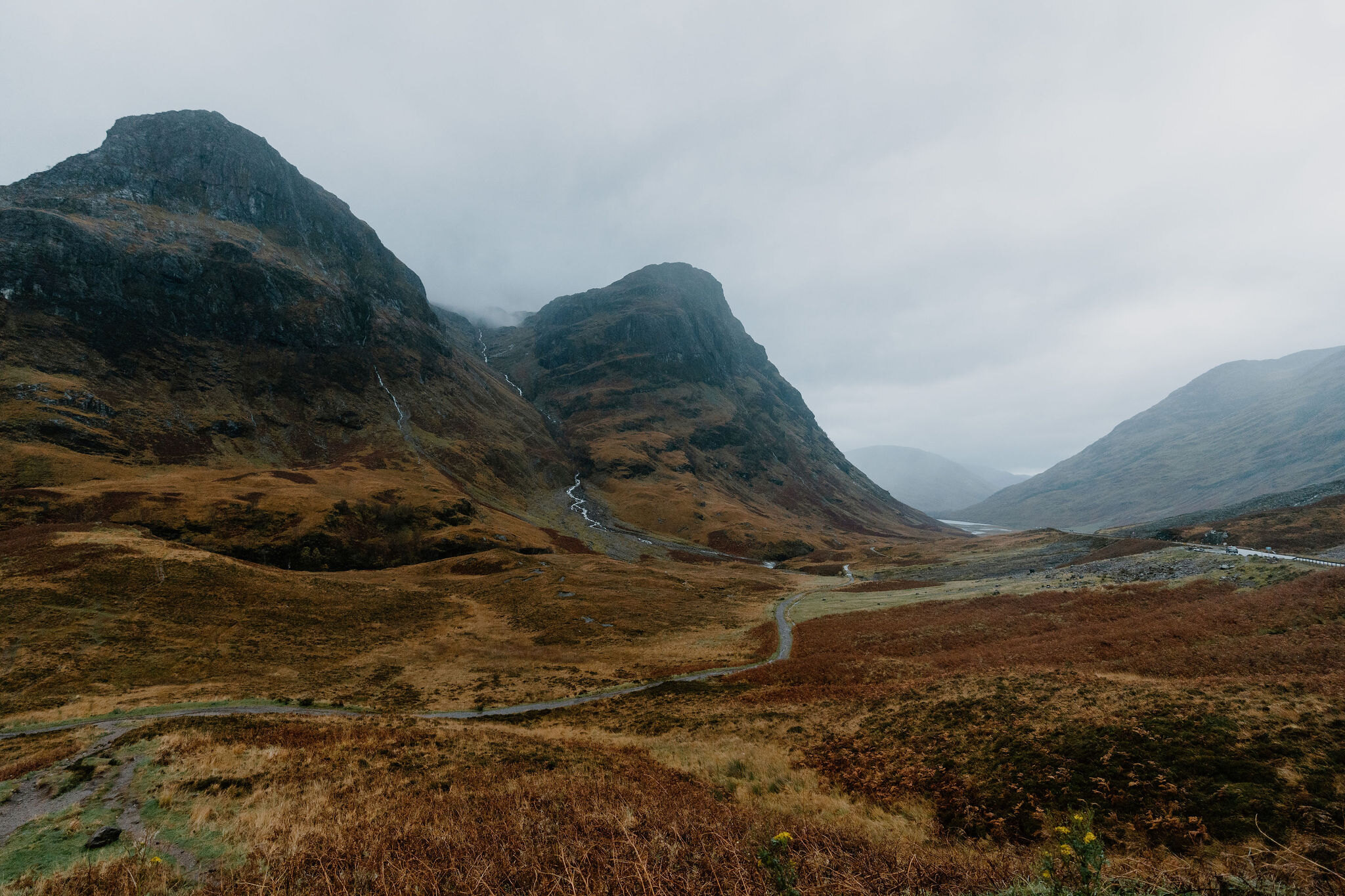
Bidean nam Bian – Up Coire nan Lochan from Glen Coe
6 miles · 6 to 7 hours · a hill · there and back
free parking
Bidean nam Bian, 1,149 metres, is the highest point in Argyll, hidden behind the Three Sisters on the south side of Glen Coe.
This is a serious mountain day, with some easy scrambling and close drops on narrow ridges, for experienced hillwalkers with a head for heights. Its usual way up leaves the A82 at the Three Sisters car park, crosses the River Coe and climbs Coire nan Lochan between two of the Sisters. It goes up a rocky ridge over Stob Coire nan Lochan and along the ridge to the summit, and back the same way. By our map it is about 10 km there and back with about 1,300 metres of climb, and it takes about 6 to 7 hours. It has burns to ford and a corrie that avalanches, and it needs a map and compass and the skill to use them.
Where it starts
Start at the Three Sisters car park, on the south side of the A82 in the Pass of Glencoe at grid reference NN 170 568, with more lay-bys a little to the west.
Is it for me?
Tap who is coming, or the day you have, for the answer on this walk.
Before you go
Getting there
Parking is free, by our map. It is the main tourist viewpoint and can be full as early as 8am, Walking Britain says. The start is reached by the A82 through Glen Coe: the car park is the big viewpoint below the Three Sisters. No bus stops there; Shiel Buses' route 44 stops at Glencoe village.
On the path
About 6 to 7 hours there and back: about 10 km (6 miles) and 1,300 metres of climb by our map. From the Three Sisters car park on the A82 over the River Coe, up Coire nan Lochan and over Stob Coire nan Lochan to the summit, and back the same way. A path and an old road down to a footbridge, then a rocky, steep corrie path with small burns to ford. Above it, grass, scree, boulders and bare rock on narrow ridges, with some easy scrambling: hands are needed now and then, and the drops are close. A long, serious Munro with rocky scrambling, close drops on the ridges and burns to ford: for older children used to big hill days, with an adult who can navigate. The map to carry is OS Explorer 384, Glen Coe & Glen Etive (Ballachulish & Kinlochleven) (1:25,000); OS Landranger 41, Ben Nevis, Fort William & Glen Coe (1:50,000) shows the country round it.
Good to know
Summer and early autumn in daylight, on a clear, dry day with a good forecast and little wind; start early, as the car park fills. Keep dogs close in the car park beside the A82, a fast trunk road, and under control on the hill. The scrambly ridge and boulders are hard going for a dog. No source read lists toilets at the Three Sisters car park, so plan for none. Heading for the Scottish Hills lists no stalking issues on the land north of the ridge, which the National Trust for Scotland manages. Under snow it is serious winter ground, in the Glencoe avalanche forecast's area, and Coire nan Lochan has avalanched.
The walk
The usual way up Bidean nam Bian from Glen Coe starts at the Three Sisters car park on the A82. It crosses the River Coe by a footbridge, climbs into Coire nan Lochan between two of the Three Sisters and goes up a rocky ridge over Stob Coire nan Lochan. Then it follows the ridge south-west to the summit, and comes back the same way. By our map it is about 10 km (6 miles) there and back, with about 1,300 metres of climb. Allow about 6 to 7 hours, more with stops, in poor weather or under snow. The summit is 1,149 metres up, the highest point in Argyll, Wikipedia and Steven Fallon say, and the car park is about 170 metres up. This is a serious mountain day, with some easy scrambling and drops close to the path on narrow ridges. It is for experienced hillwalkers with a head for heights, who can find their way with a map and compass.
No public body publishes a route, a distance or a time for it. Most walkers climb Bidean with Stob Coire Sgreamhach, its other Munro just over a kilometre to the south-east, as one round. grough and 10Adventures go up this way and come down Coire Gabhail, the Lost Valley; Steven Fallon and Munro Magic go up Coire nam Beitheach, further west. Walking Britain gives this way there and back, as this walk does. It keeps to Bidean: it does not go on to Stob Coire Sgreamhach or down the Lost Valley.
This is a serious, complex mountain. From the road its summit hides behind high and intimidating cliffs and buttresses, Steven Fallon says, and the Three Sisters are its steep spurs. Munro Magic marks steep slopes, stony and rocky ground on the ways up, and crags near the summit. Wikipedia records four deaths in an avalanche on the hill's north side in January 2013. In 2024, it says, a father and son were found dead near Stob Coire nan Lochan after they were fatally injured while hillwalking.
The Three Sisters car park is on the south side of the A82 in the Pass of Glencoe, at grid reference NN 170 568. It is the main tourist viewpoint, Walking Britain says, and can be full as early as 8am, so start early. More lay-bys lie along the road a little to the west: the National Trust for Scotland names two, for Coire Gabhail and Coire nan Lochan, and calls them busy. By our map the car park is free. No source read lists toilets, so plan for none, and no bus stops at the car park.
The A82 here is a fast trunk road: by our map it has a 60 mph limit and no lighting. Wikipedia notes the road's poor accident record and says it is often called one of the most dangerous roads in Scotland. Gates close the road between Tyndrum and Glencoe in severe weather. The path leaves from inside the car park, so by our map the walk never crosses the road. Keep children and dogs close in the car park, and take care pulling out at the end of a long day.
Before you set off, check the mountain forecast. The Mountain Weather Information Service's West Highlands forecast covers the hill, and the Met Office gives a forecast for the summit itself. Under snow, check the Scottish Avalanche Information Service's Glencoe forecast too. Navigation is fair in good visibility but challenging in mist, grough says, and the ground is complex in parts. Carry a map and compass and know how to use them, as Munro Magic advises.
From the car park a path drops to the old road below. Follow it west for about 200 metres by our map, then take the path down to the River Coe, fording a small burn on the way, with no bridge: if it is too full to cross safely, turn back. About 550 metres out, by our map, it crosses the river by a wooden footbridge over a gorge.
Over the river the path climbs south-west into Coire nan Lochan, between Aonach Dubh on the right and Geàrr Aonach on the left. It is rocky, steady and steep in places, with slabby sections, grough says, and well made in parts. By our map it climbs about 650 metres in 2.3 km and fords four small burns with no bridge. 10Adventures warns of minor scrambling where the path nears the stream. Waterfalls pour from the lip of the corrie. Walking Britain warns that walks here can be impassable during or after heavy rain, and Munro Magic that streams can rise markedly in a day. If any of them is too full to cross safely, turn back.
The path levels out a little into the upper corrie, where a headwall blocks the way straight on. Walking Britain warns against the scree ahead, though it looks the obvious line. Bear left, east, on a fainter path up grass and scree towards the north-east ridge of Stob Coire nan Lochan. A scramble can be expected at times on this stretch, Walking Britain says, though a mild one. By our map a path goes off to the right here, deeper into the corrie, and a fainter one north-east along the crest of Geàrr Aonach. That one heads for the Zig-Zags, a rock scramble with exposed pitches that Steven Fallon grades 1 to 2, and is not this walk.
Higher up the path turns west up the north-east ridge of Stob Coire nan Lochan. By our map it climbs about 310 metres in about 950 metres, at its steepest about 40 metres in every 100, over bare rock and boulders. Higher up the paths disappear into boulderfield, Steven Fallon says. grough calls it scrambling at the mild end of the scale. It finds the short climb onto the top of Stob Coire nan Lochan the most exposed part of its whole round, though nothing beyond a hillwalker with a reasonable head for heights. One of its readers warns of a tricky scramble over an oversized boulder onto the top by the Pinnacle or South Buttress, worse under snow. Walking Britain calls the ridge impressive and narrow. Hands are needed now and then: take it slowly.
Stob Coire nan Lochan, 1,115 metres, is a top of Bidean nam Bian, not a Munro. The walls of the corrie below it are climbers' ground, with gullies and buttresses that the avalanche service has watched climbers on. Keep back from the edge. From the top the ridge drops steeply south-west to a col, by our map about 120 metres, then climbs about 145 metres to the summit. grough calls the climb from the col steep, with no technical difficulties, and a path in its upper part. Get Lost Mountaineering says the path keeps off the crest, which is quite complex, and below it on the east side, your left on the way up.
The summit, 1,149 metres, is the easterly of two heights, with a small cairn, Steven Fallon says. Paths leave it in three directions. One runs north-west to Stob Coire nam Beith, and one south-east along a narrow ridge to Stob Coire Sgreamhach, with some scrambling. Neither is this walk: the second is the narrow way to another Munro. The third, north-east, is the way you came. Before you leave, find that path, towards Stob Coire nan Lochan.
In mist the ridges are hard to read, and the drops are close. Walking Britain warns that care is needed in poor conditions not to stray from the route, with many precipitous drops close to the path, worse on the way back. Visibility can change markedly with the cloud, Munro Magic warns, and in poor visibility a path alone may get you lost. If the cloud comes down, the wind rises or anyone is tiring, turn back by the way you came.
Heading for the Scottish Hills says the National Trust for Scotland manages the land north of the ridge, with no stalking issues. It lies in the Trust's Glencoe National Nature Reserve, which asks for no campfires.
Under snow Bidean is a winter mountain, and Steven Fallon says it is renowned for winter hillwalking and climbing accidents. The avalanche service has recorded slab avalanches in Coire nan Lochan: one in February 2014, probably set off by falling cornice, and two in February 2016. Steep, craggy ground is one of the hazards of Glen Coe, it warns, where even a minor avalanche is likely to have very serious consequences. Snow can lie on the ridges well into summer, 10Adventures and Travel Made Me Do It found. Check the Glencoe avalanche forecast: before its full winter service begins, no forecast does not mean no risk. Go then only with winter gear and the experience to use it.
The way down is the way you came, and needs as much care. From the summit go north-east down to the col and back up over Stob Coire nan Lochan. Coming off its top the path can be hard to find at first, Get Lost Mountaineering says, weaving through rocky outcrops where care is needed. Keep to the line you came up, down the ridge, across the upper corrie and down the corrie path. Then cross the burns with care, as they may have risen since the morning, and the footbridge and the old road, and climb the path to the car park. In an emergency call 999 or 112 and ask for Police and Mountain Rescue, Mountaineering Scotland says. Give a six-figure grid reference and a named feature if you can. Phone signal is often patchy: to be able to text 999, register first by texting the word register to 999.
If it rains
None on this walk: in rain, low cloud or a high wind, leave the summit for another day. The corrie's burns have no bridges and rise fast after rain, and the slabs and boulders are slippery when wet. In mist the ridges are hard to read and the drops are close: if the cloud comes down, turn back by the way you came.
After the walk
Something to do with the rest of the day, nearest the end of the walk first.
With the rest of the day
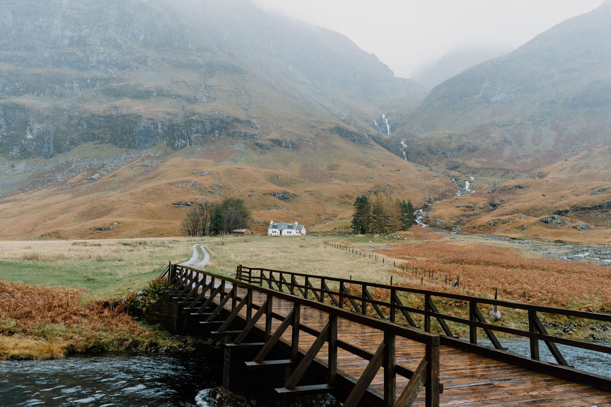 2 min by roadThings to doLoch AchtriochtanA small loch on the floor of Glen Coe below the Three Sisters, with Ossian's Cave high on the cliff above.
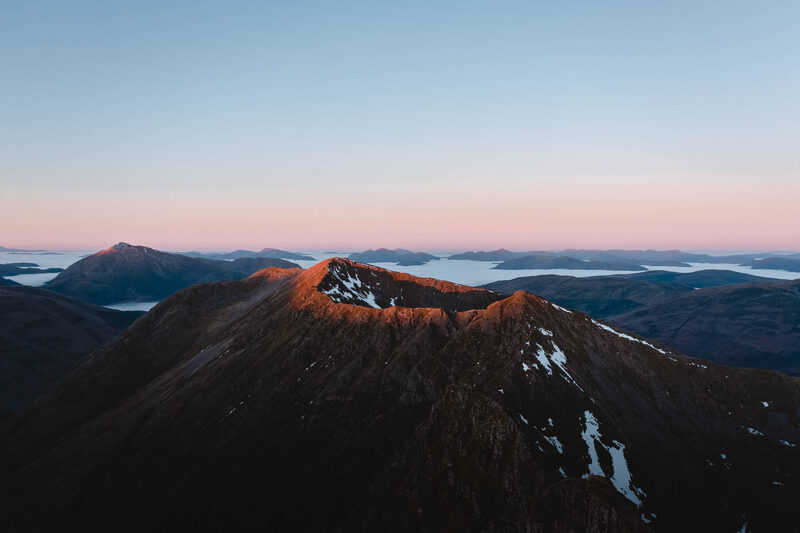 2 min by roadThings to doAonach EagachGlen Coe's northern wall, famed as the narrowest ridge on the British mainland: a serious scramble between two Munros.
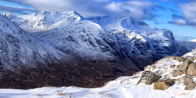 4 min by roadThings to doThe Lost ValleyThe hidden valley among the Three Sisters of Glen Coe where the MacDonalds kept their rustled cattle, reached by a short, rough climb.
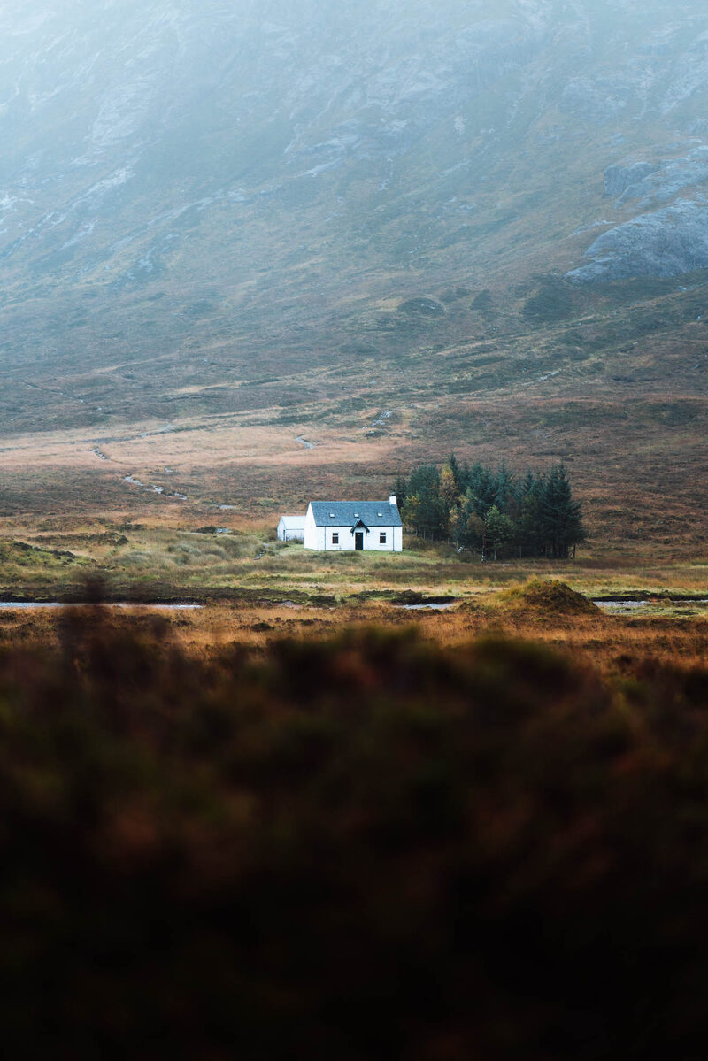 5 min by roadThings to doLagangarbhA small white climbers' hut at the foot of Buachaille Etive Mor at the head of Glen Coe, one of the most photographed buildings in Scotland.
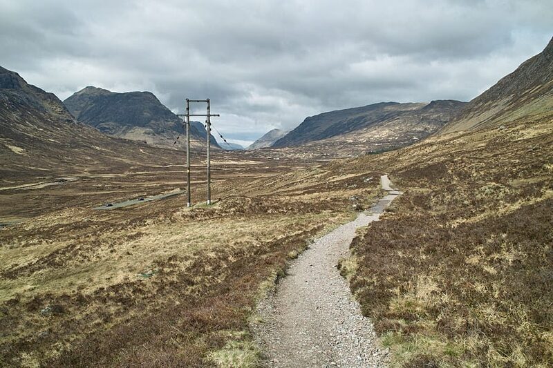 5 min by roadThings to doThe Devil’s StaircaseThe zigzag path from Altnafeadh up to 550 metres, the highest point of the West Highland Way, with the Buachaille behind you.
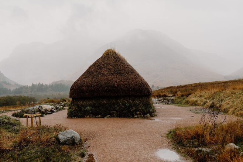 7 min by roadThings to doGlencoe Visitor CentreThe National Trust for Scotland's eco-friendly visitor centre in Glencoe, with a giant 3D map of the glen, an exhibition, a cafe and a reconstructed turf house.
Places to stay near the walk
Our places to stay nearest the start, by road.
An advert · Ballachulish
RiverBeds at Woodlands Glencoe
RiverBeds, the wee lodges for two at Woodlands Glencoe near Ballachulish, each with its own Jacuzzi hot tub on a veranda over the river.
Sleeps 2 · 13 minutes by road
See RiverBeds at Woodlands Glencoe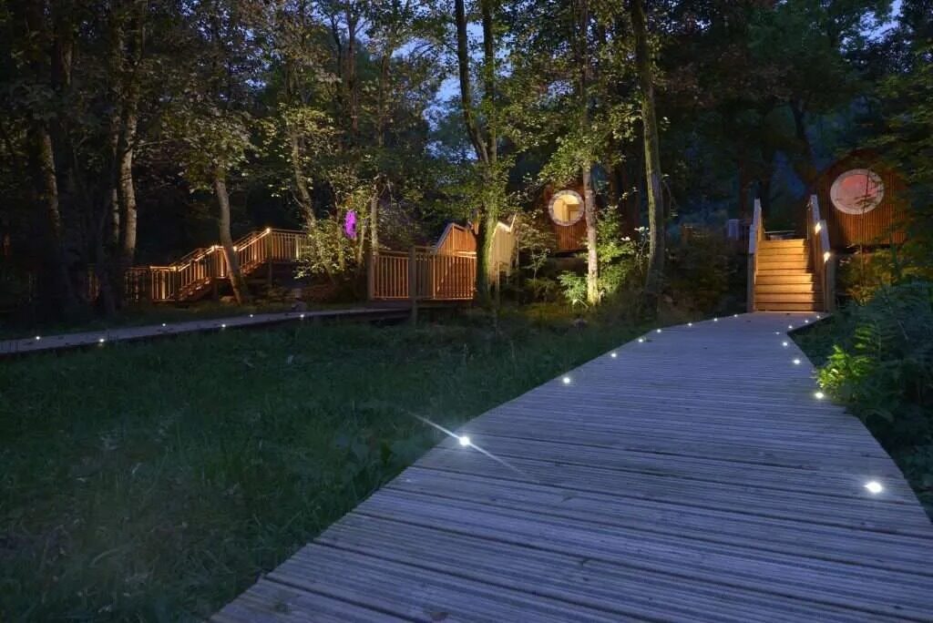
More walks near here
Within a short drive of the start.
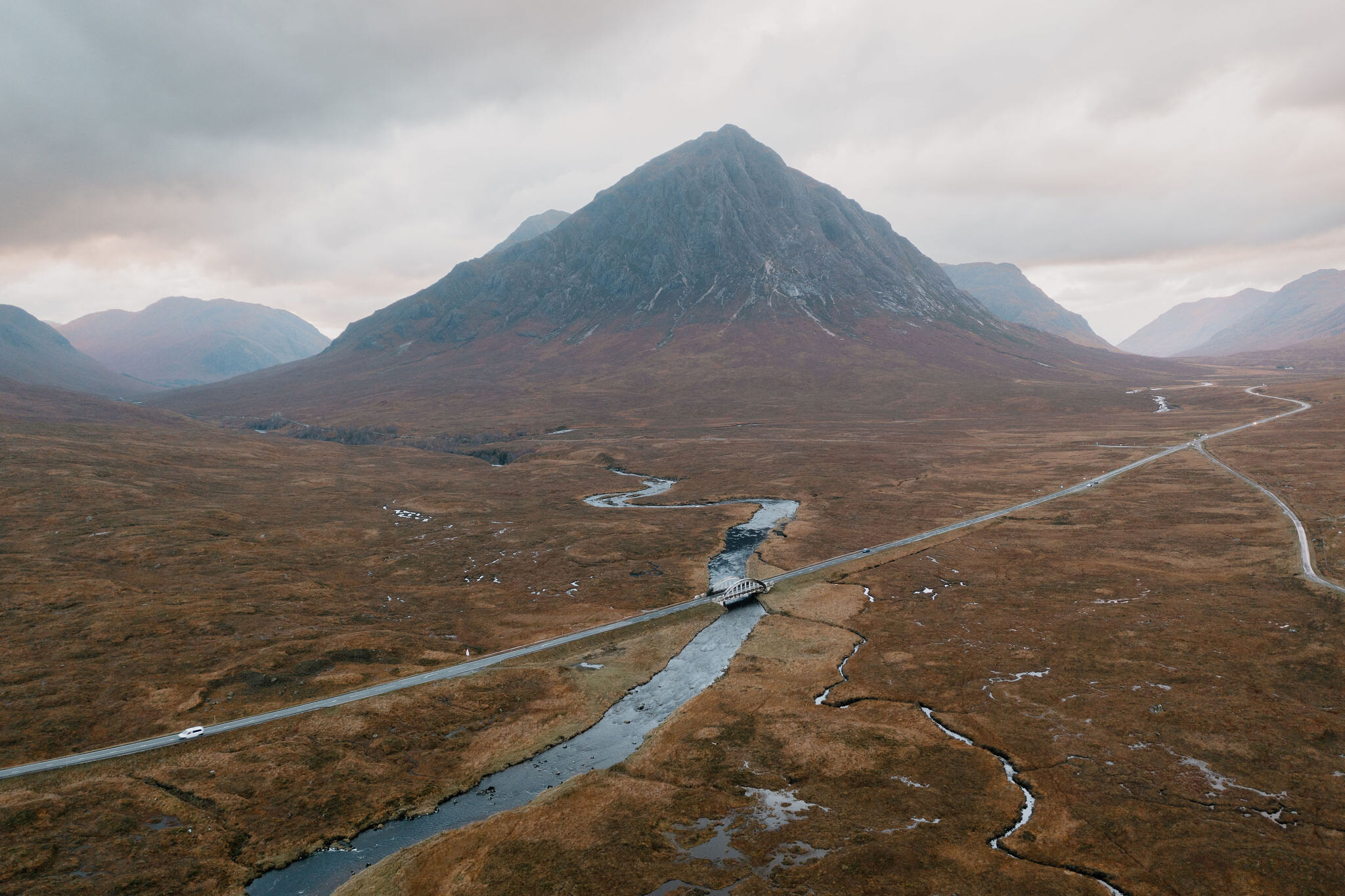 5 min by roadA hillStob Dearg4 miles, about 4 to 5 hours
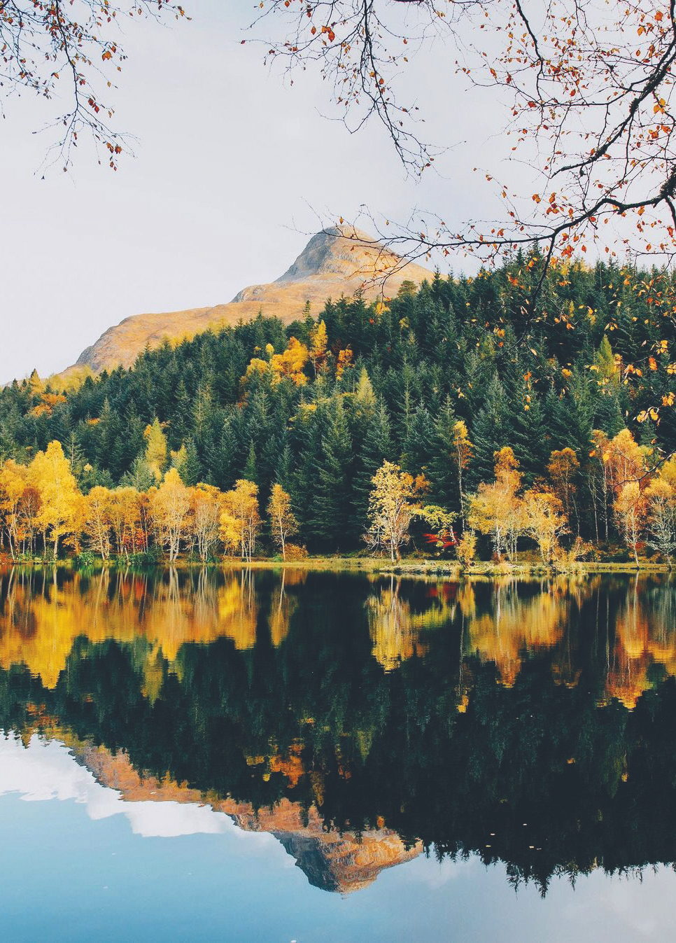 9 min by roadA hillThe Pap of Glencoe4½ miles, about six hours
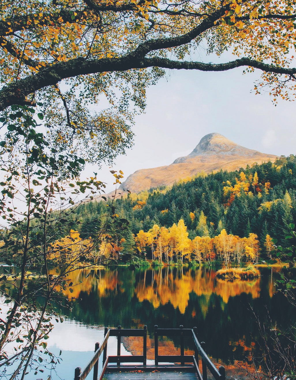 9 min by roadA strollGlencoe LochanA mile, half an hour to an hour
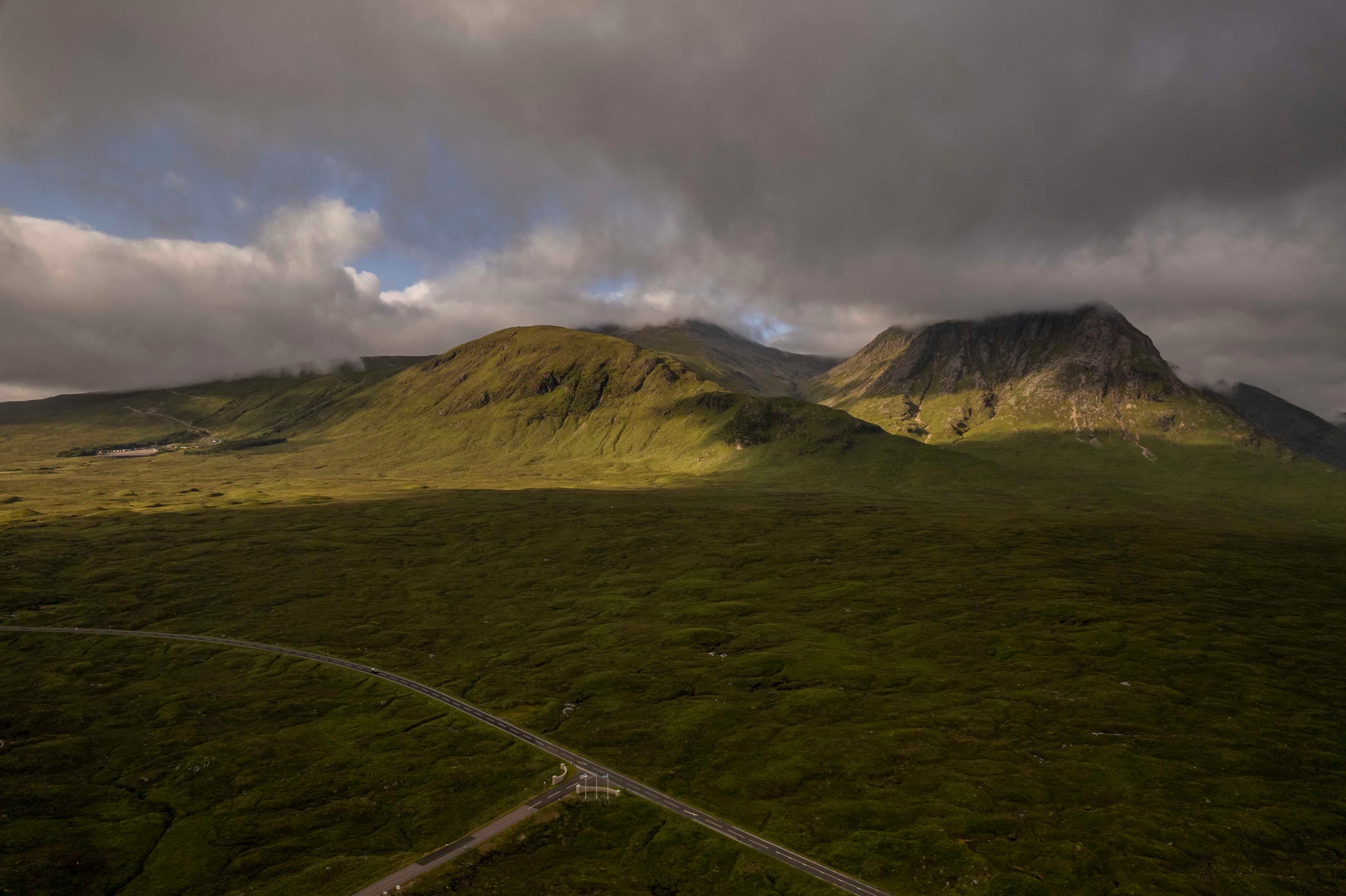 10 min by roadA hillMeall a' Bhuiridh4 miles, about 3 to 4 hours
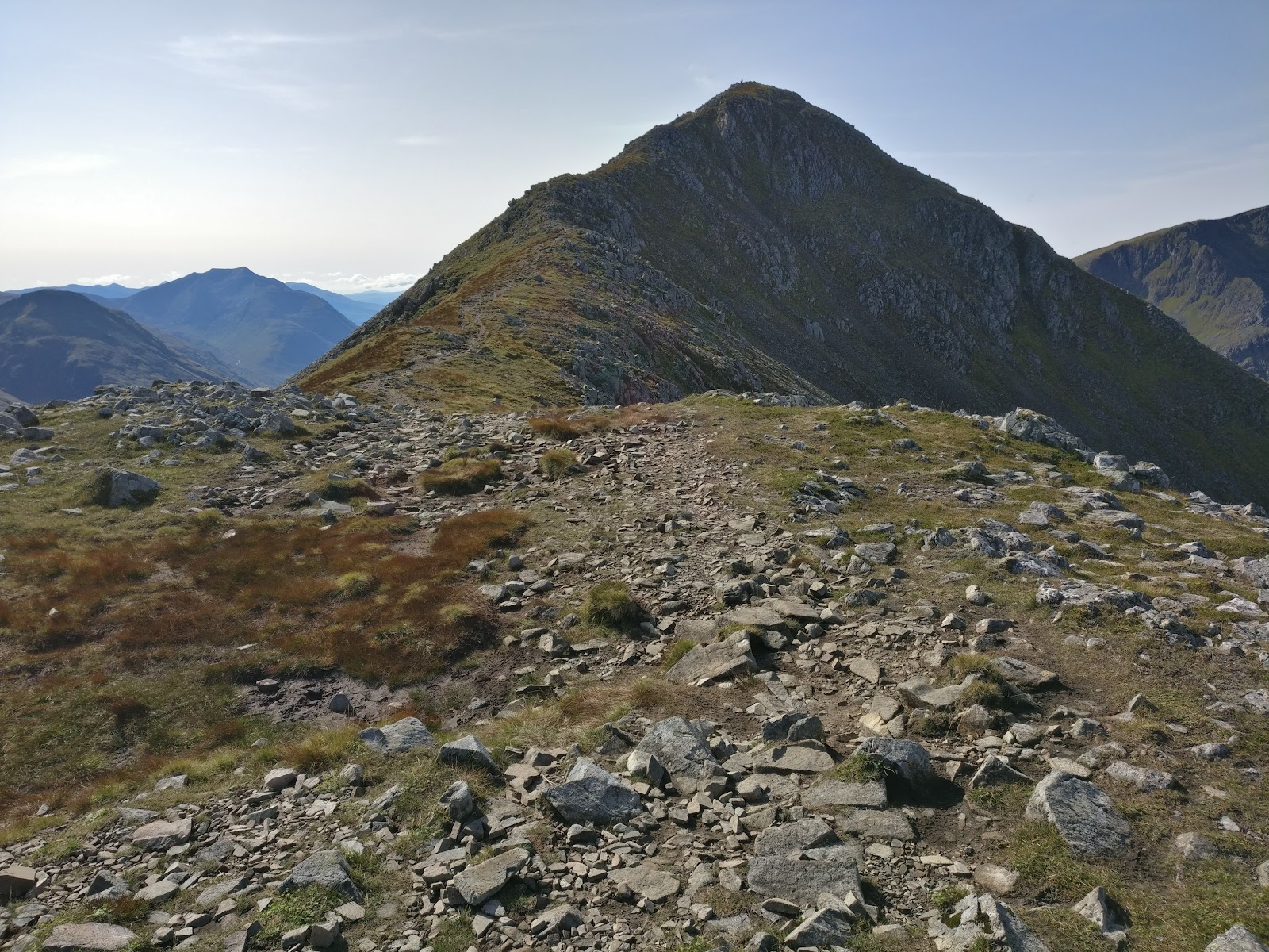 2 min by roadA hillStob Coire Raineach3 miles, about 3 to 4 hours
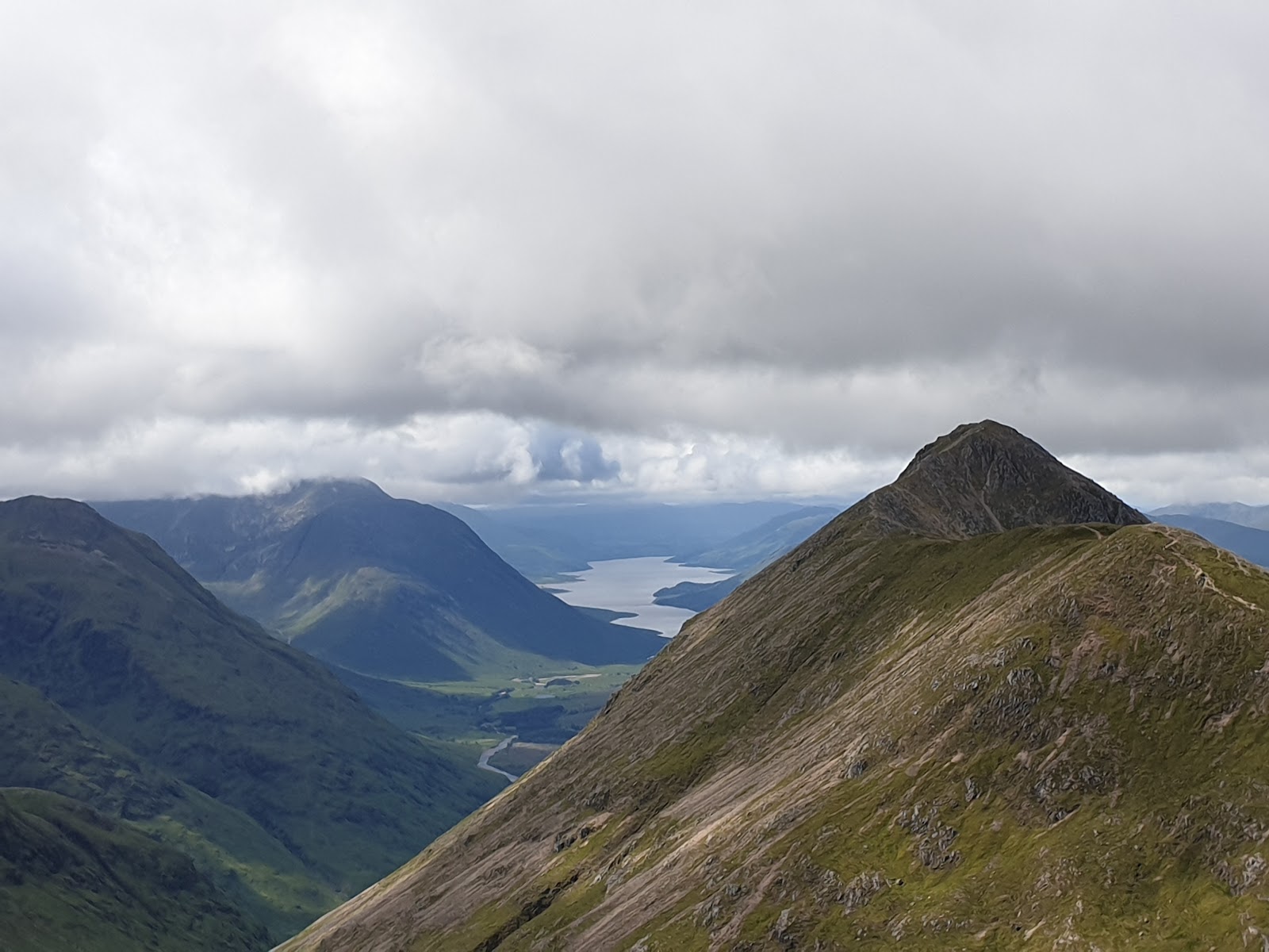 2 min by roadA hillStob Dubh4 miles, about 4 to 5 hours
Did this walk?
Tell the next person how it went. The best go on this page, with your name.
Find out more
For further reading, before you go.
- Bidean nam Bian, the Munro page, Hidden Scotland↗
- Bidean nam Bian via Stob Coire nan Lochan, Walking Britainwalkingbritain.co.uk↗
- Bidean nam Bian, Steven Fallonstevenfallon.co.uk↗
- West Highlands forecast, Mountain Weather Information Servicemwis.org.uk↗
- Bidean nam Bian summit forecast, Met Officeweather.metoffice.gov.uk↗
- Glencoe avalanche forecast, Scottish Avalanche Information Servicesais.gov.uk↗
- Stalking tables for the Central Highlands, Heading for the Scottish Hillsoutdooraccess-scotland.scot↗
- Glencoe Mountain Rescue Teamglencoemountainrescue.org.uk↗
- Calling for help, Mountaineering Scotlandmountaineering.scot↗
Maps from OpenFreeMap © OpenMapTiles, data © OpenStreetMap contributors; heights from Mapzen's terrain tiles.