At One with the Mountains - An interview with Nick Gardner
Issue 6: Nick Gardner and his wife Janet were living an idyllic life on a croft…
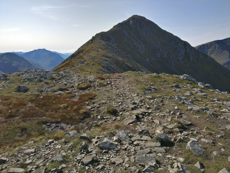
A Munro of 925 metres, number 264 of the 282.
Stob Coire Raineach is the northern of the two Munros on Buachaille Etive Beag, the top nearest the A82 at the head of Glen Coe.
It is the lower of the pair, and its partner, Stob Dubh, is about two kilometres to the south-west.
Buachaille Etive Mor is its close neighbour, with Stob na Broige about two kilometres to the south and Stob Dearg about three kilometres to the east.
Below it runs the Lairig Eilde, the pass through to Glen Etive, which ScotWays describes as rugged mountain country with huge screes of rock on both sides. A coffin cairn stands at its north end, and ScotWays takes that as a sign the old path was a coffin road.
West wind to 14 mph, gusting 31
Rain, about 5 mm
Light from 7.53am to 6.16pm, ten hours
A weather model's forecast for the height of the summit, not a report from the hill. Read the mountain forecast the evening before: West Highlands forecast, Stob Coire Raineach, Glencoe avalanche forecast.
Choose the day you mean to climb.Near or far: the light you will have, and what the summit is likely to be doing.
Photographs by Neil Purves, Craig and Alexander Lonnie, via Google
Under snow and ice this is a different day, with short light and the risk of avalanche. It needs an ice axe, crampons, winter boots and the skill to use them.
The summit is optional. Turning back is the right decision whenever the cloud, the wind or the light say so.
How to call for help in the hills · Safety and skills for the hills · ThinkWINTER
Nobody has written from Buachaille Etive Beag - Stob Coire Raineach yet. If you were up, yours would be the first.
Were you up? Three words is enough.A free account, a word for the weather and a line if you like.
Issue 6: Nick Gardner and his wife Janet were living an idyllic life on a croft…
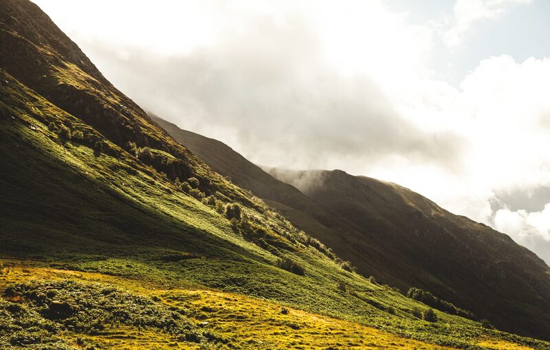
Issue 13: Scotland's mountains can reveal their challenges as quickly as their…
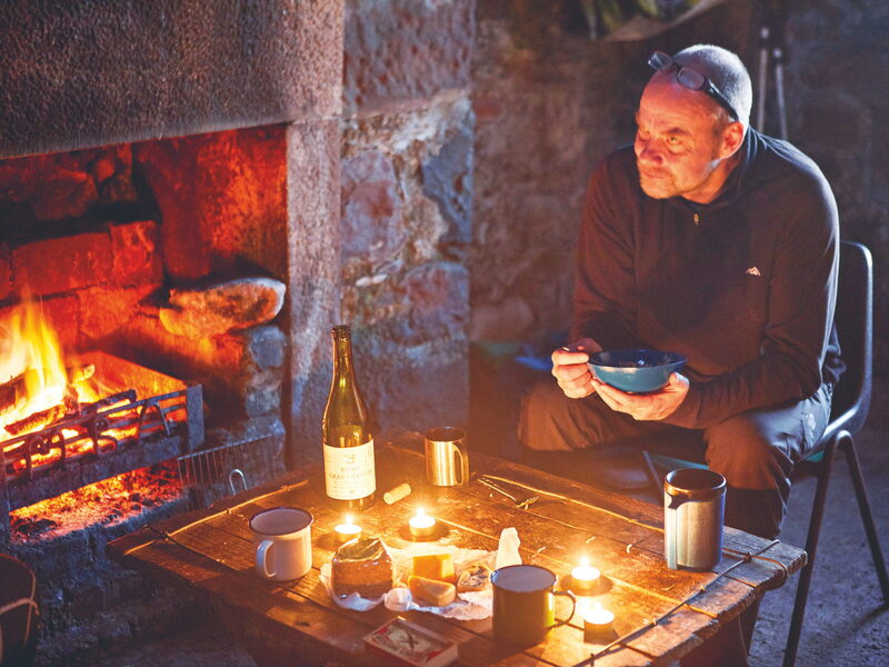
Issue 5: Here are six of my favourite bothies, all great locations for a…
For the route itself, take the map and read these.
Next along: Buachaille Etive Beag - Stob Dubh, Buachaille Etive Mor - Stob na Broige, Buachaille Etive Mor - Stob Dearg, Stob Coire Sgreamhach. Checked on 10 October 2026. The facts on this page are ScotWays', the National Trust for Scotland's, Shiel Buses' and the Scottish Avalanche Information Service's, which also gives the avalanche forecast; the weather forecasts are the Mountain Weather Information Service's and the Met Office's. Height and position from The Database of British and Irish Hills, v18.3, adapted, CC BY 4.0. This page is not a route description and does not replace a map.