Did you know
Weighing the world.
In 1774 Nevil Maskelyne used Schiehallion's pull on a plumb line to work out the density of the Earth.
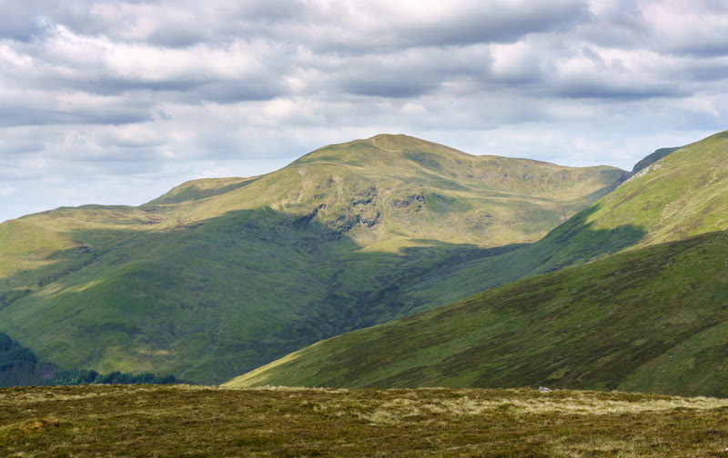
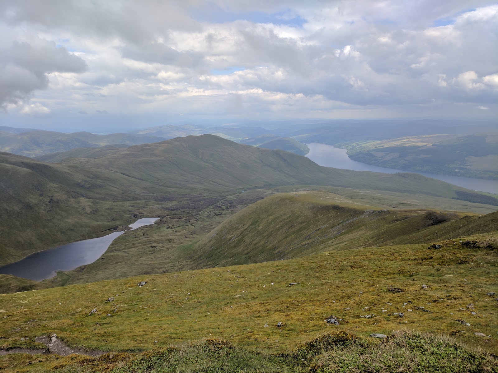
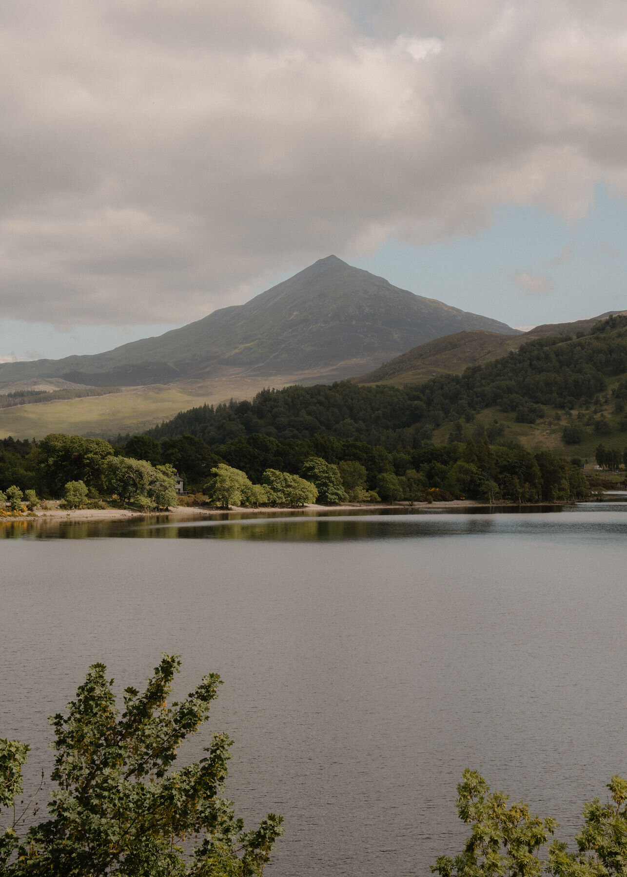
The shapely peak between Loch Tay and Loch Rannoch, 1,083 metres high, where Nevil Maskelyne weighed the Earth in 1774 and contour lines were first drawn.
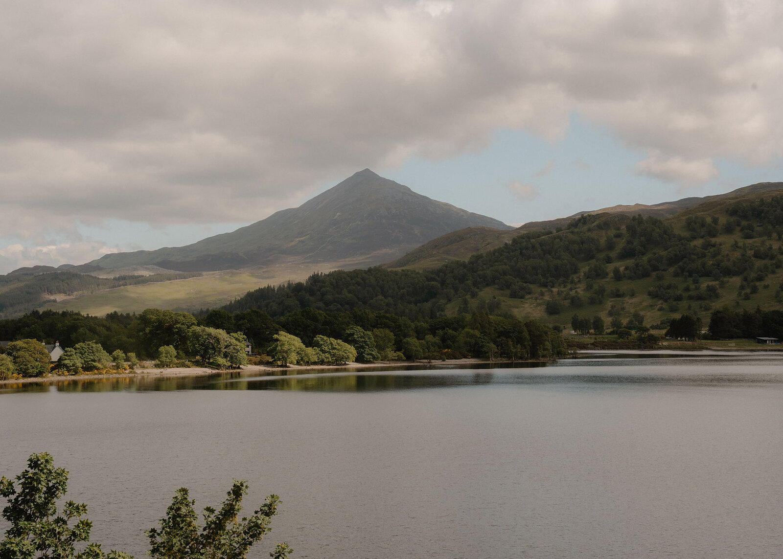
Seen from Loch Rannoch or from Queen's View, Schiehallion is the perfect mountain: a lone, shapely peak rising to 1,083 metres between Loch Tay and Loch Rannoch, a steep cone from the side and a long whaleback ridge from end to end.
Visited and photographed by Jack Cairney
Its Gaelic name is often said to mean the fairy hill of the Caledonians.
In 1774 it became the most famous mountain in science. The Astronomer Royal, Nevil Maskelyne, chose it because it stood alone and was so regular in shape, and camped on its slopes for months, measuring how the mountain's mass pulled his plumb lines aside. From that pull the density, and so the weight, of the whole Earth was worked out. To map the hill's shape, the surveyors joined points of equal height, and so drew the first contour lines.
The usual climb starts at Braes of Foss on the east side, following a good path and then a long, bouldery ridge to the summit, with views across half of Scotland.
The Daily
Arrives at 5am every day.
A free morning email to see what’s on this week, catch up on what’s happening in Scotland and find somewhere new to go.
Free, at any time.
It is a hill day, needing boots, warm clothing and a map.
Been here? Tell others what you know, and the best go on this page with your name.
Add your reviewIn 1774 Nevil Maskelyne used Schiehallion's pull on a plumb line to work out the density of the Earth.
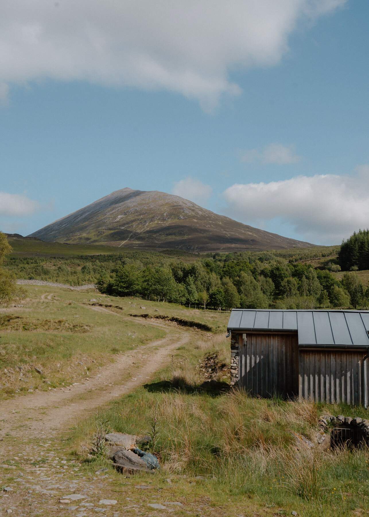
The surveyors mapping the mountain joined points of equal height, drawing the first contour lines.
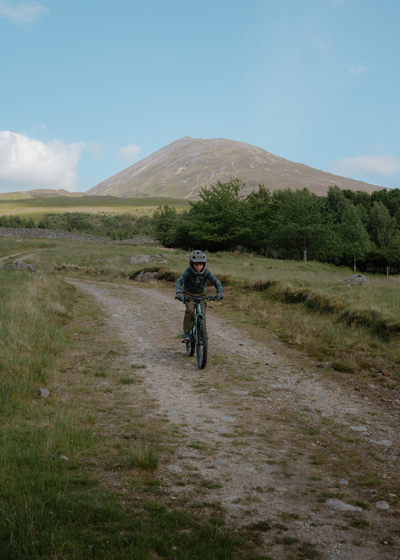
The mountain was picked because it stood alone and was so regular in shape.
In 1774, Schiehallion was used to weigh the world. Its steep, symmetrical sides and isolation from other hills made it a perfect candidate for scientists to record the mountain’s volume, density, how strong its gravitational pull was and therefore the mass of Earth.
Read moreNew places, news and stories, as we find them.
What is on in PerthshireBetween Loch Tay and Loch Rannoch, in Highland Perthshire.
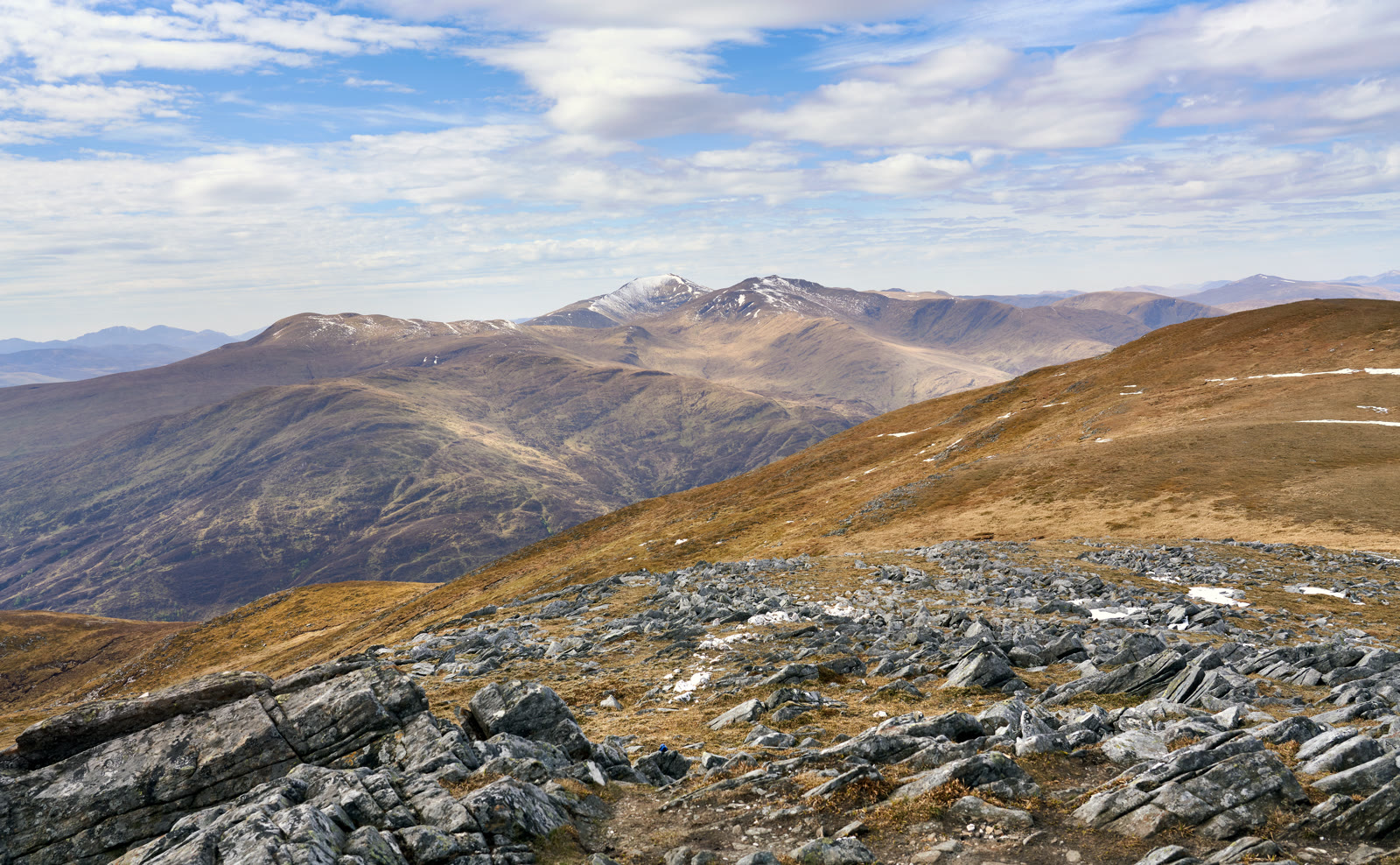 Meall na AigheanA Munro of 981 metres on the north side of Glen Lyon, climbed from Invervar by its west ridge.3 miles as the crow flies
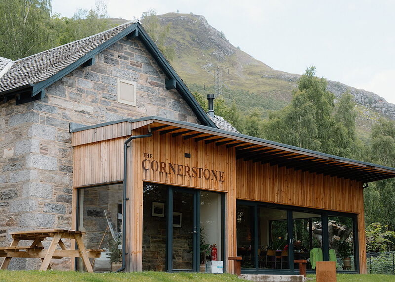 The Cornerstone5 miles 7 min by road
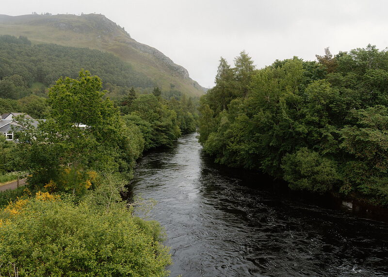 Kinloch RannochThe Highland village below the mountain's northern side.5 miles 7 min by road
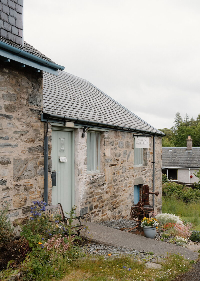 The Shed Gallery5 miles 7 min by road
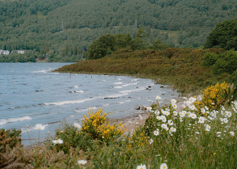 Loch RannochA long Highland loch below the mountain.10 miles 13 min by road
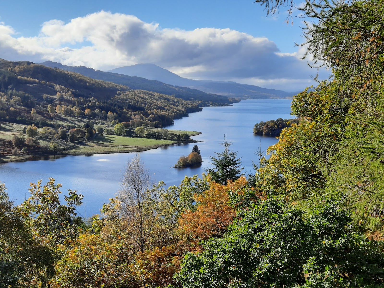 Queen’s ViewThe view along Loch Tummel to Schiehallion.15 miles 21 min by road
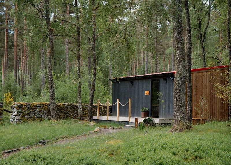
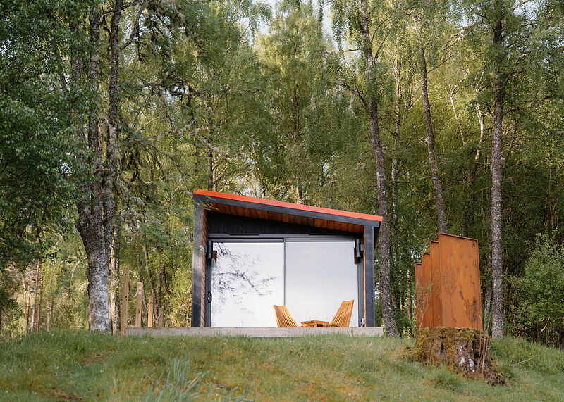
Places to stay near the mountain, and when each is next free.
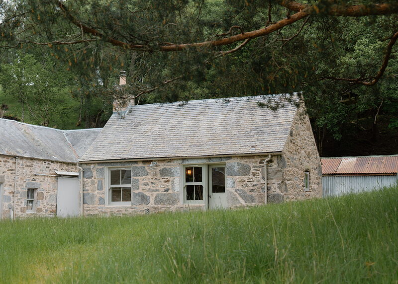
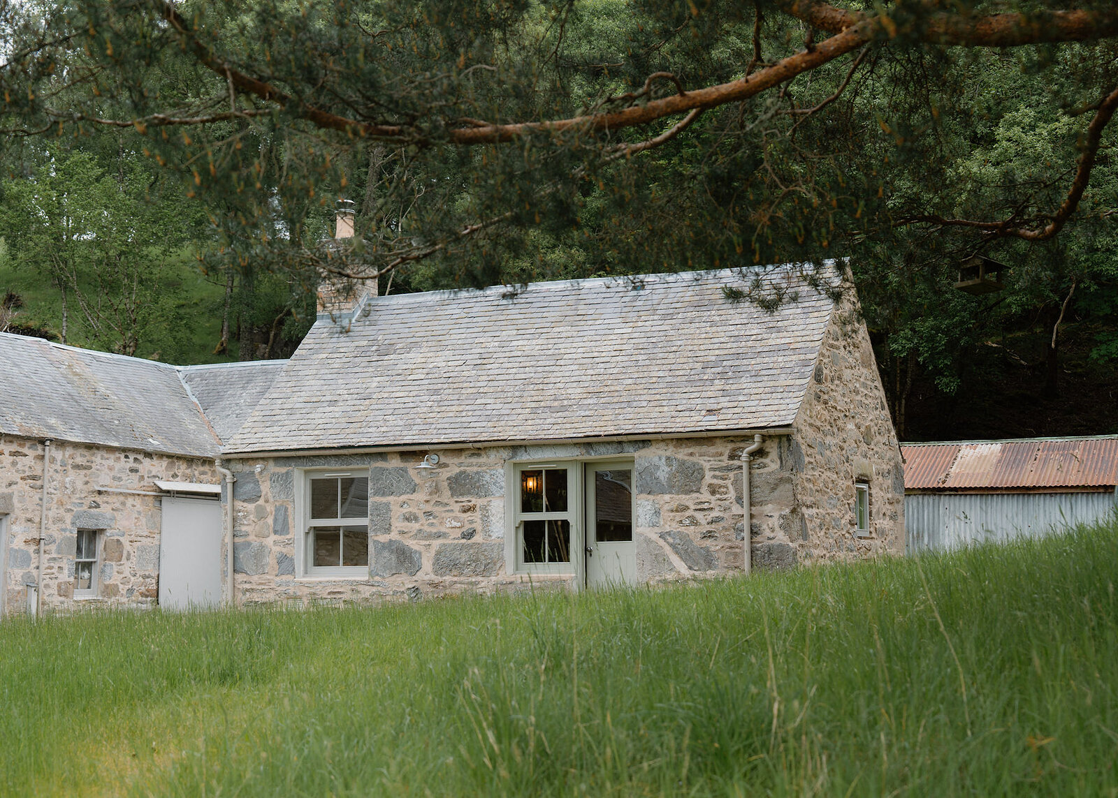 Lassintullich Bothy
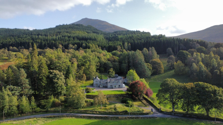
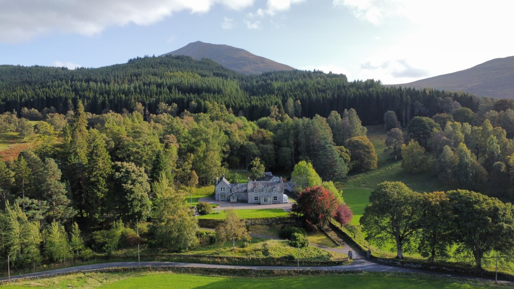 Lassintullich House
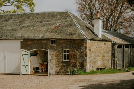
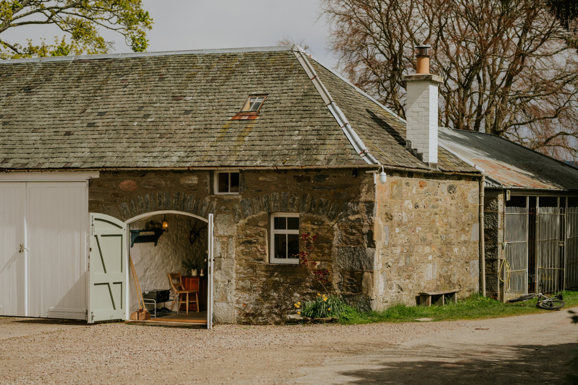 West Tempar Bothy
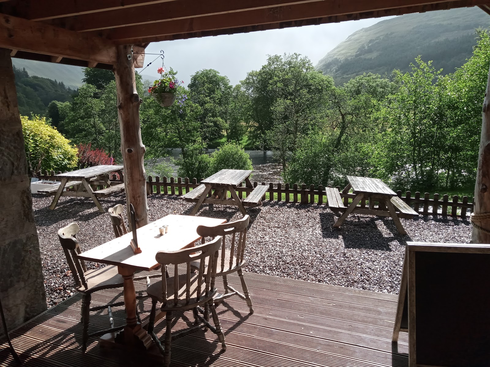
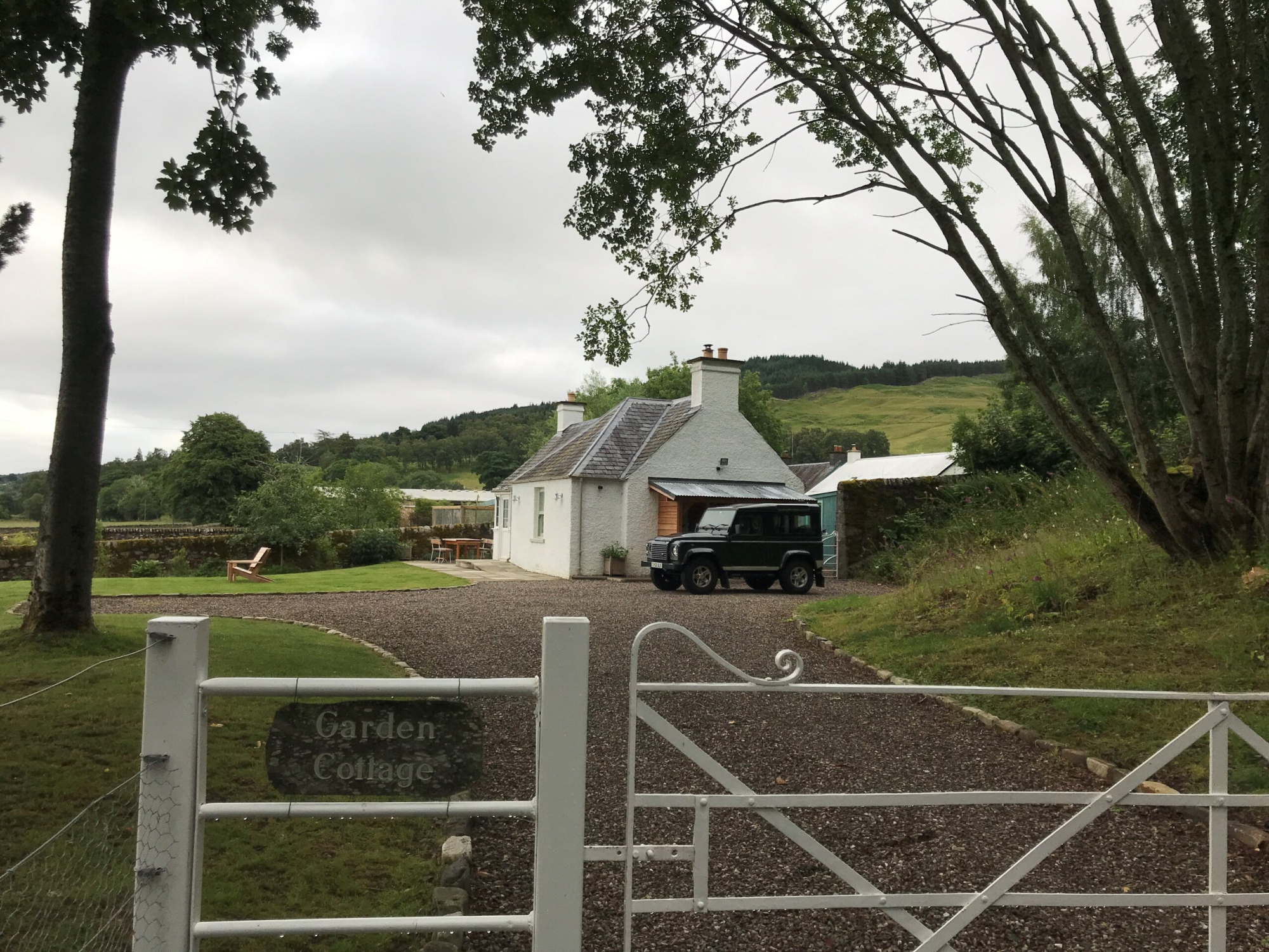 Garden Cottage
We want to show you the best that Scotland has to offer. The makers and the creatives, the enduring experiences, the evocative tales, the concealed corners. The roads less travelled that take you to places that matter. The adventures that gather you up and sweep you away. The blend of the wild and the artistic that makes Scotland what it is. We’d love for you to join us.
What we have written about it and more in Perthshire.
For further reading, before you go. The details on this page were checked on .