
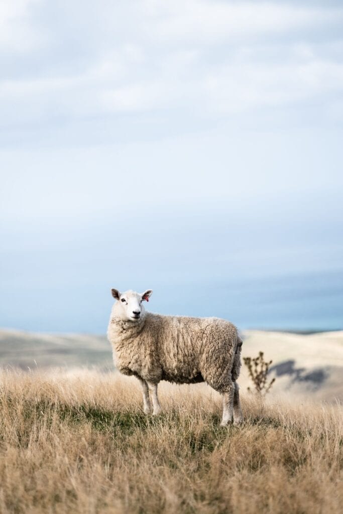
Ramasaig to Orbost Coastal Walk
Fourteen miles of cliff top down the west and south coast of Duirinish, from the road end at Ramasaig to Orbost, with 974 metres of climb and no way back but the other car.
It takes eight to ten hours, with 974 metres of climb in the rise and fall of the cliffs.
Much of it is firm turf along the edge and very fine going; the rest is pathless and boggy, with burns that are hard work after rain.
It passes the Hoe, the second highest cliff on the island, and a sea tunnel bored clean through a headland that a kayaker can paddle through on a calm day. Halfway along is Lorgill, a township cleared in 1830 and its people put aboard ship for Nova Scotia, its croft houses still lining the valley. At the far end stand MacLeod's Maidens. It is linear, neither end has a bus, and the footbridge the map shows over the Lorgill burn washed away years ago.
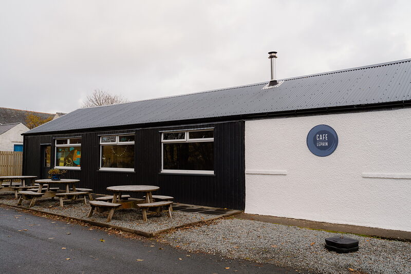
Twenty-two and a half kilometres, 974 metres of climb and eight to ten hours, one way.
Much of it is firm turf along the cliff edge and very good going; the rest is pathless, boggy and rough, with a couple of burns that are hard work in spate. The footbridge the Ordnance Survey still shows over the Lorgill burn was washed away long ago, so expect wet feet. There is no bus to either end and no way to make a circuit of it, so two cars, or somebody willing to drive round.
- Distance
- 22.5 km, 14 miles, one way from Ramasaig to Orbost.
- Time
- Eight to ten hours, with 974 m of climb.
- Ground
- Firm cliff-top turf for much of it; pathless, boggy and rough for the rest.
- Getting back
- Two cars. Neither end has a bus, and it does not make a circuit.
- The burns
- The Lorgill footbridge on the map is gone. Wet feet, and harder work in spate.
The minor road to Ramasaig leaves the B884 past Glendale and is in poor repair, so a car with little clearance will not enjoy it; park by the cottage at the road end, or earlier in the old quarry.
At the far end, park at Orbost Farm just short of Orbost House. There is nothing on the route: no shelter but the Ollisdal bothy half a kilometre up its glen, no water you would drink without treating, and no way off the coast once you are on it.
- Start
- The road end at Ramasaig, off the B884 beyond Glendale. Grid reference NG 165 441.
- Finish
- Orbost Farm, just before Orbost House. Grid reference NG 257 433.
- The road in
- Public but in poor condition. Not for a car with little clearance.
- Shelter
- Ollisdal, an open bothy half a kilometre up the glen from the coast. No dogs.
Down the west and south coast of the Duirinish peninsula, from the road end at Ramasaig beyond Glendale to Orbost, near Dunvegan.
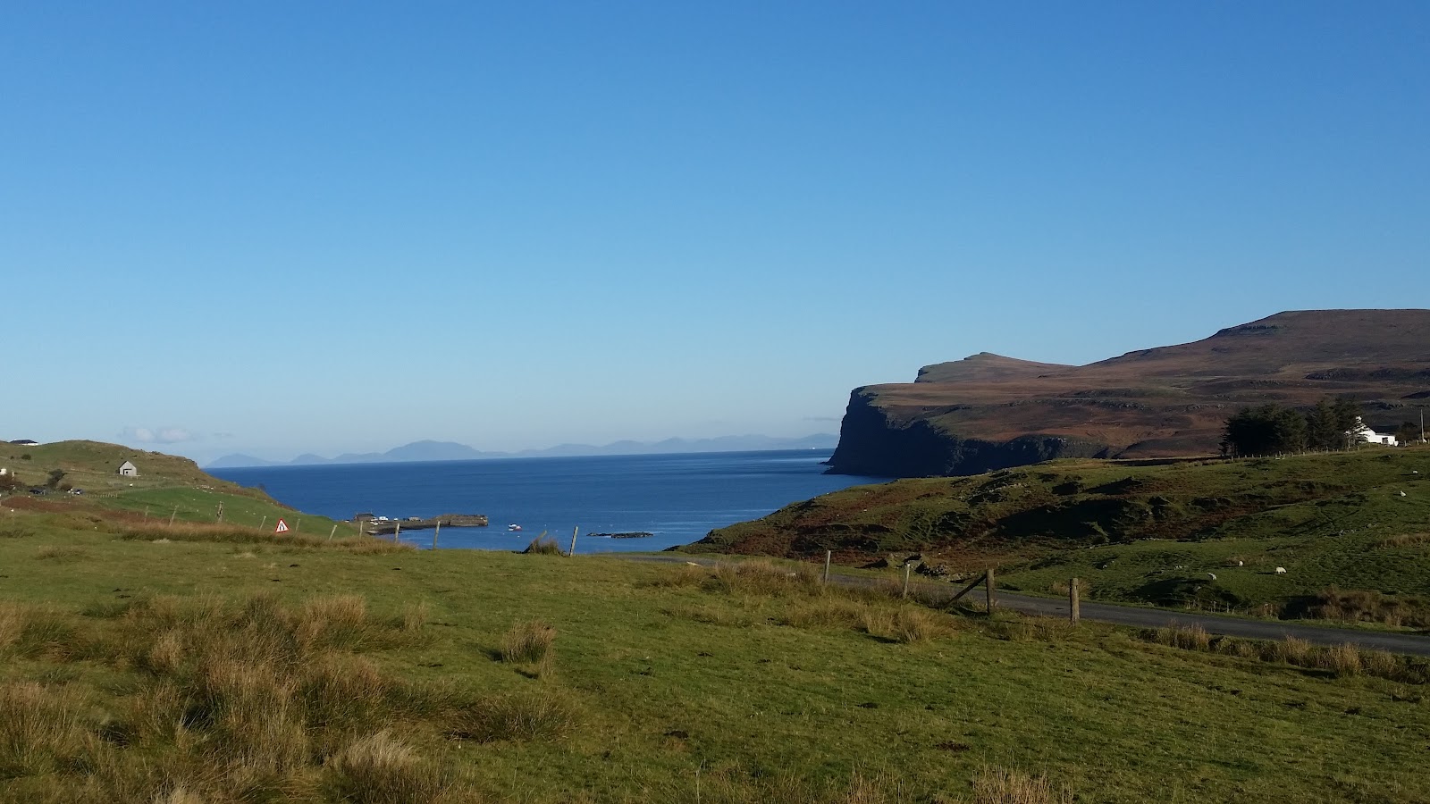 GlendaleThe township the road in passes through, and the last shop before Ramasaig.4 miles 5 min by road
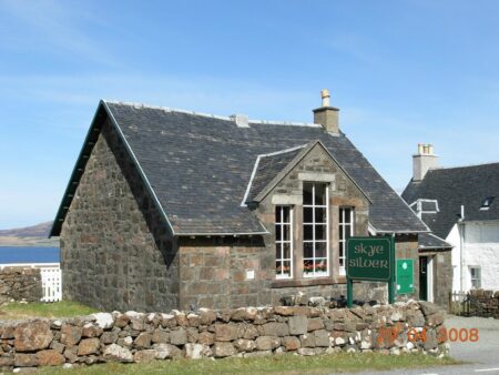
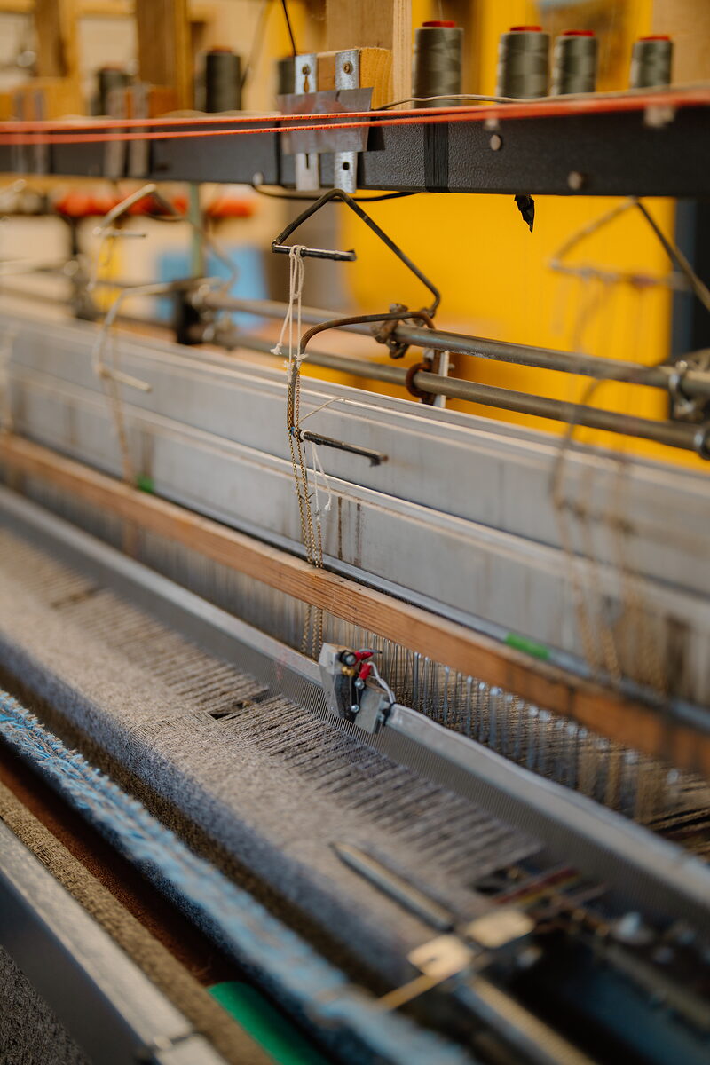 Skye WeaversCloth made on a bicycle-powered loom at Fasach in Glendale.5 miles 7 min by road
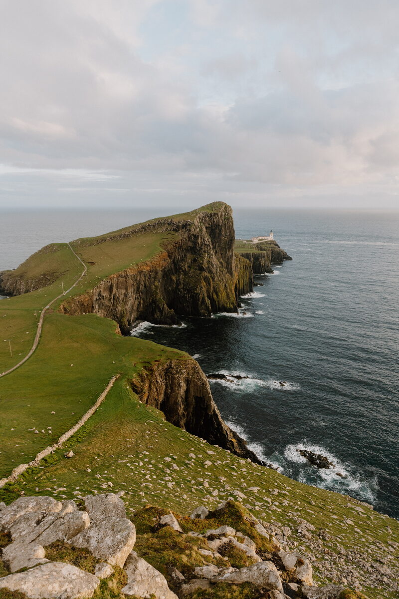 Neist PointThe lighthouse at the far west of Duirinish, north of the start.6 miles 8 min by road
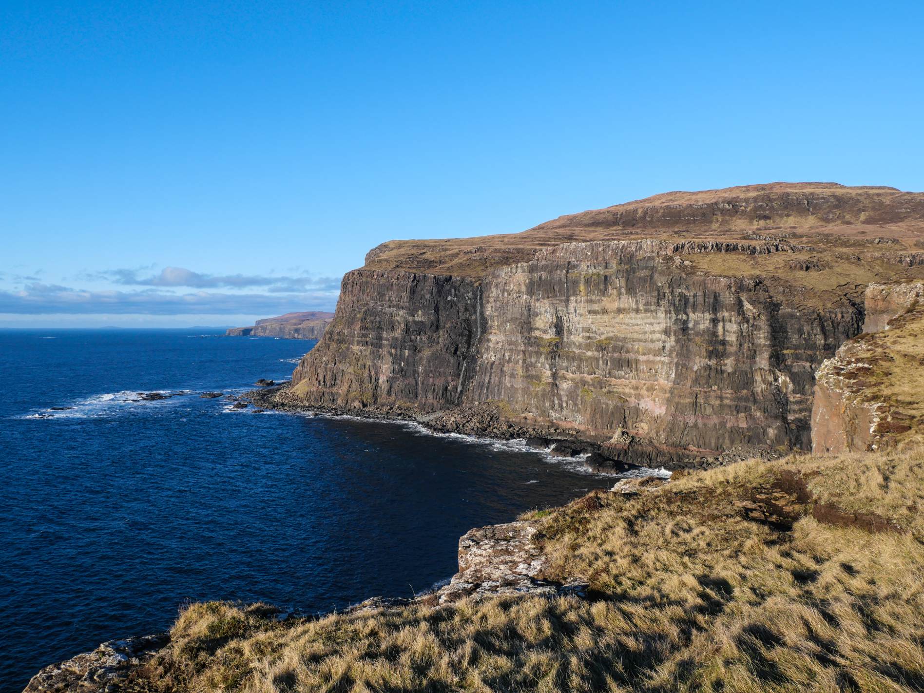 Idrigill Point and Macleod's MaidensThe three stacks at the far end, and a shorter way to reach them.16 miles 20 min by road
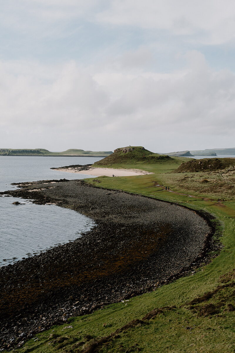 Coral BeachWhite shell sand north of Dunvegan, near the Orbost end.16 miles 24 min by road
The Daily
Arrives at 5am every day.
A free morning email to see what’s on this week, catch up on what’s happening in Scotland and find somewhere new to go.
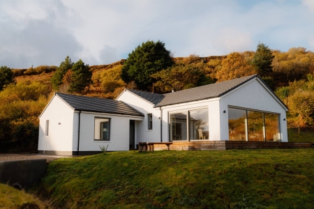
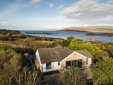
Places to stay near the walk, and when each is next free.
 Black Box Cabin
- Sleeps 4
- In Glendale
- 3 miles from the walk
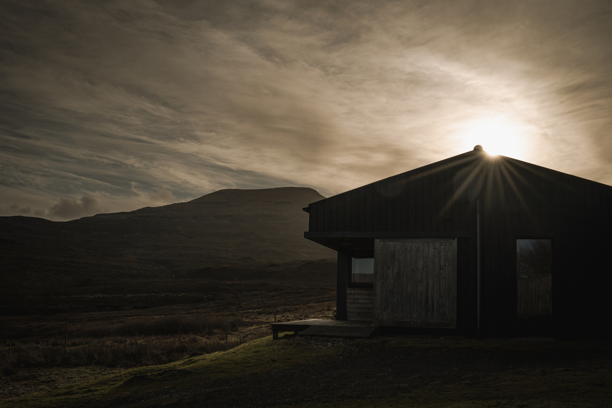 The Black Shed
- Sleeps 2
- In Skinidin
- 4 miles from the walk
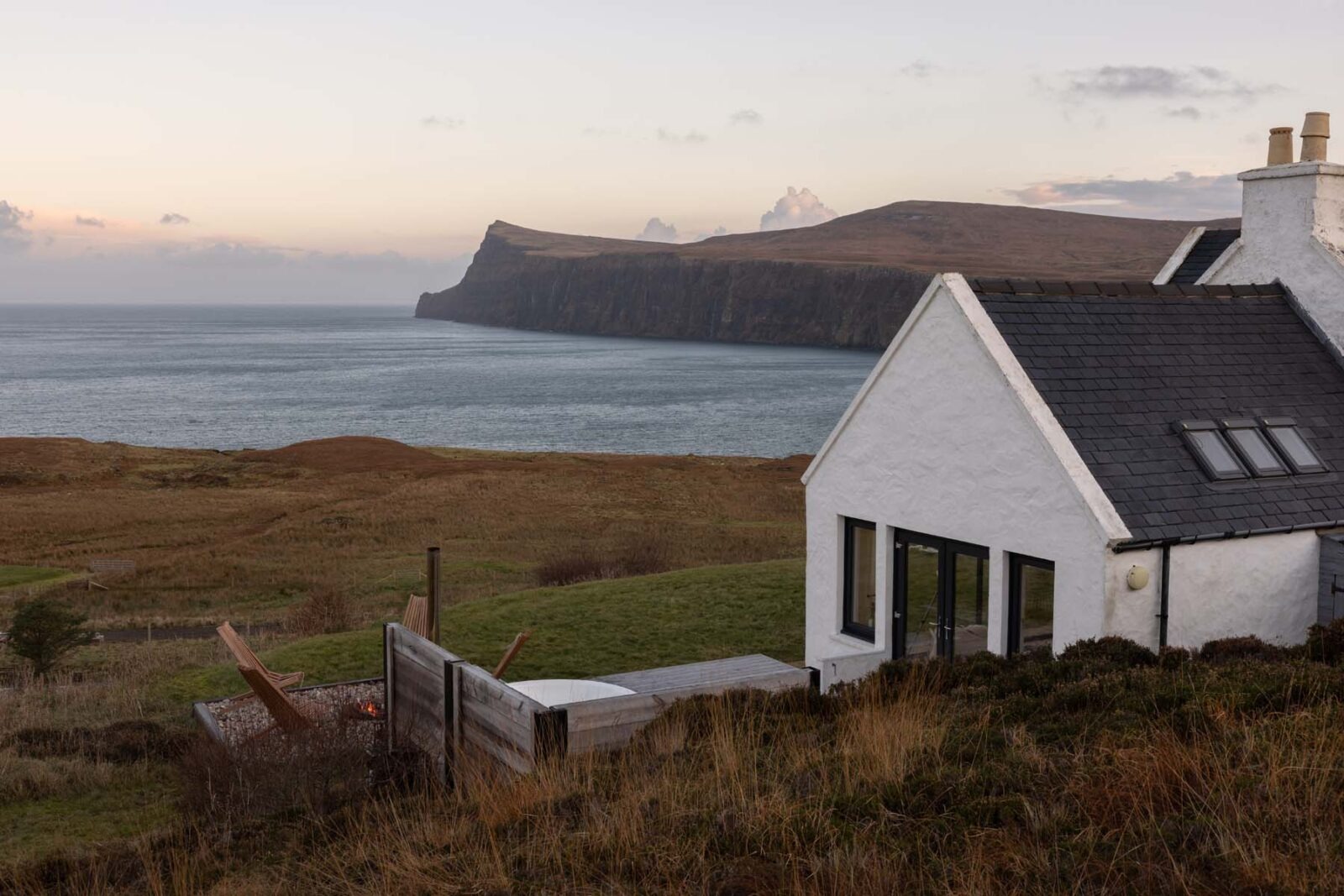 Milovaig House
- Sleeps 4
- In Milovaig
- 4 miles from the walk
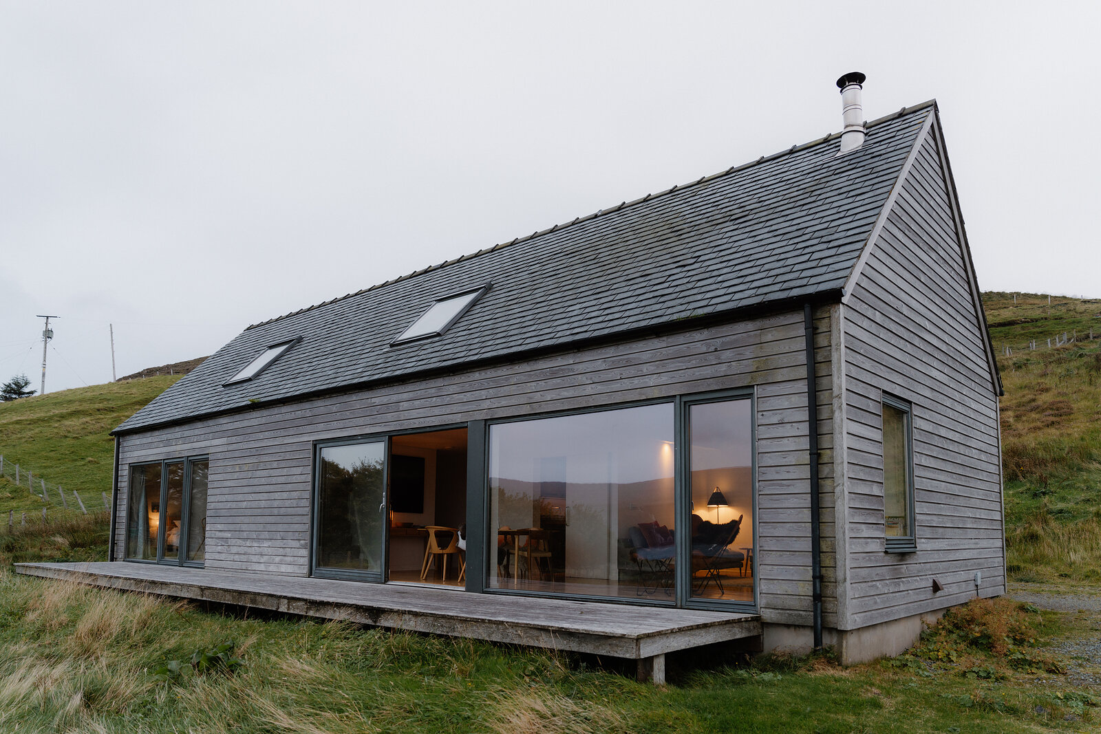 Harlosh Wood h
- Sleeps 6
- In Lower Milovaig
- 4 miles from the walk
Scotland, in print.
We want to show you the best that Scotland has to offer. The makers and the creatives, the enduring experiences, the evocative tales, the concealed corners. The roads less travelled that take you to places that matter. The adventures that gather you up and sweep you away. The blend of the wild and the artistic that makes Scotland what it is. We’d love for you to join us.
For further reading, before you go.
- Ramasaig to OrbostThe walk stage by stage, with distance, climb, the ground and both road ends.walkhighlands.co.ukWalkhighlands↗
- Ollisdal bothyThe open shelter half a kilometre up its glen from the coast.mountainbothies.org.ukMountain Bothies Association↗
- Duirinish Wild Land AreaWhy this coast feels the way it does, and who walks it.nature.scotNatureScot↗
- Lorgill townshipThe record of the cleared village the walk passes through.her.highland.gov.ukHighland Historic Environment Record↗