
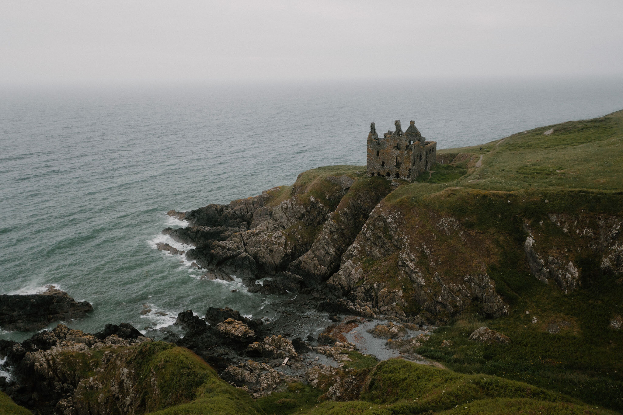
Dunskey Castle – A Cliff Walk from Portpatrick
1¼ miles · there and back
free parking · toilets
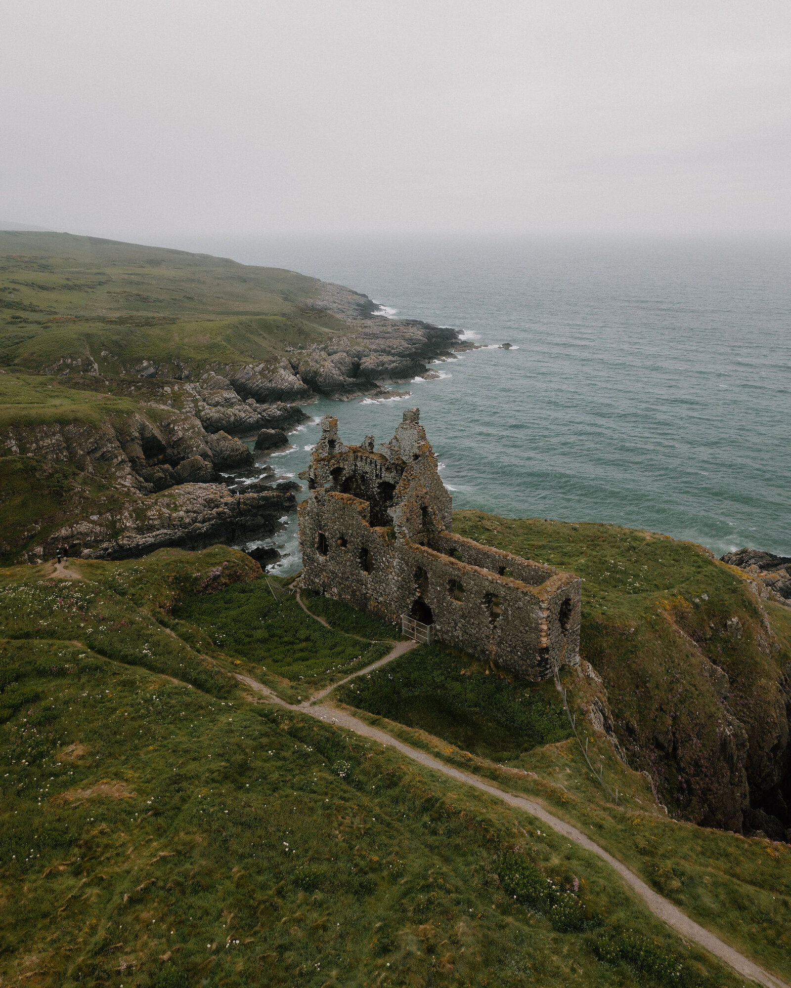
Dunskey Castle stands roofless on the very edge of the cliffs just south of Portpatrick, a tower house of the 1500s, the Adairs of Kinhilt's, on a promontory cut off by a ditch in the rock.
A short cliff path, about 1 km each way with a steep flight of steps, takes you there from the harbour, with Ireland across the water on a clear day, and lunch is back on the harbour front at the Harbour House Hotel.
Where it starts
Parking is free parking on Portpatrick's harbour front, and an overspill car park on South Crescent; then on foot.
Is it for me?
Tap who is coming, or the day you have, for the answer on this walk.
Before you go
Getting there
On foot from Portpatrick harbour: south along South Crescent to where the road ends, about 300 metres, then up the steps and along the Rhins of Galloway Coast Path.
On the path
About an hour there and back from the harbour, with time at the castle: GPS Routes gives 15 to 20 minutes each way for the walk itself, about 1 km (just over half a mile) each way. 126 steep steps up with no handrail, by OpenStreetMap's count, and a few more with handrails at the footbridge, then a narrow clifftop path and uneven ground. A ruin on a promontory the estate puts about a hundred feet above the sea, reached by a narrow clifftop path: keep children close. The map to carry is OS Explorer 309, Stranraer & The Rhins (1:25,000).
Good to know
The cliff path is open ground at all times: go in daylight and dry, still weather; on 21 December the sun rises at 8.42am and sets at 3.54pm. The Harbour House Hotel serves food every day, 10am to 9pm. The castle itself cannot be entered; the view is from the cliffs to the south.
The walk
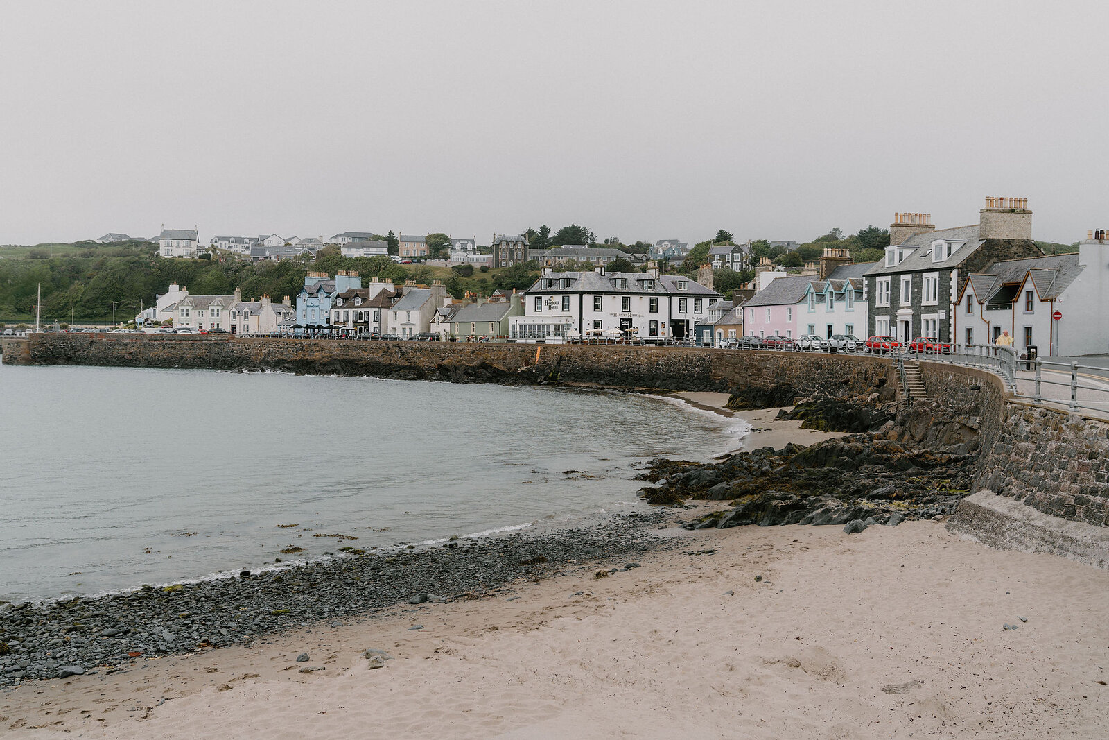
Portpatrick's harbour is community owned, with free parking on the harbour front and an overspill car park further along South Crescent, and there are public toilets at the north end of the harbour. The Southern Upland Way begins here and heads north; this walk goes the other way, south on the Rhins of Galloway Coast Path to Dunskey Castle. Walk along South Crescent, past the beach, to where the road ends after about 300 metres, and a short gravel footway leads to the steps.
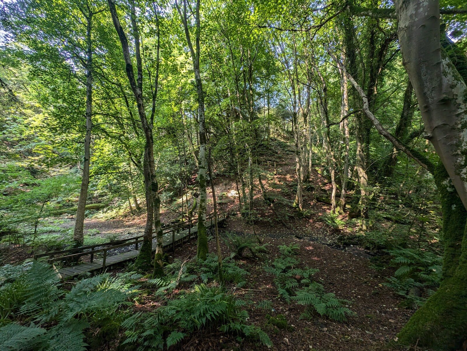
The steps climb steeply to the cliff top: OpenStreetMap counts 126 of them, with no handrail. At the top the view opens out across the sea to Ireland on a clear day. The path then crosses a wooden footbridge over the cutting of the old Portpatrick and Wigtownshire Joint Railway, closed in 1965, with a few steps down and up again, these with handrails, and runs on along a ridge between the sea and the cutting.
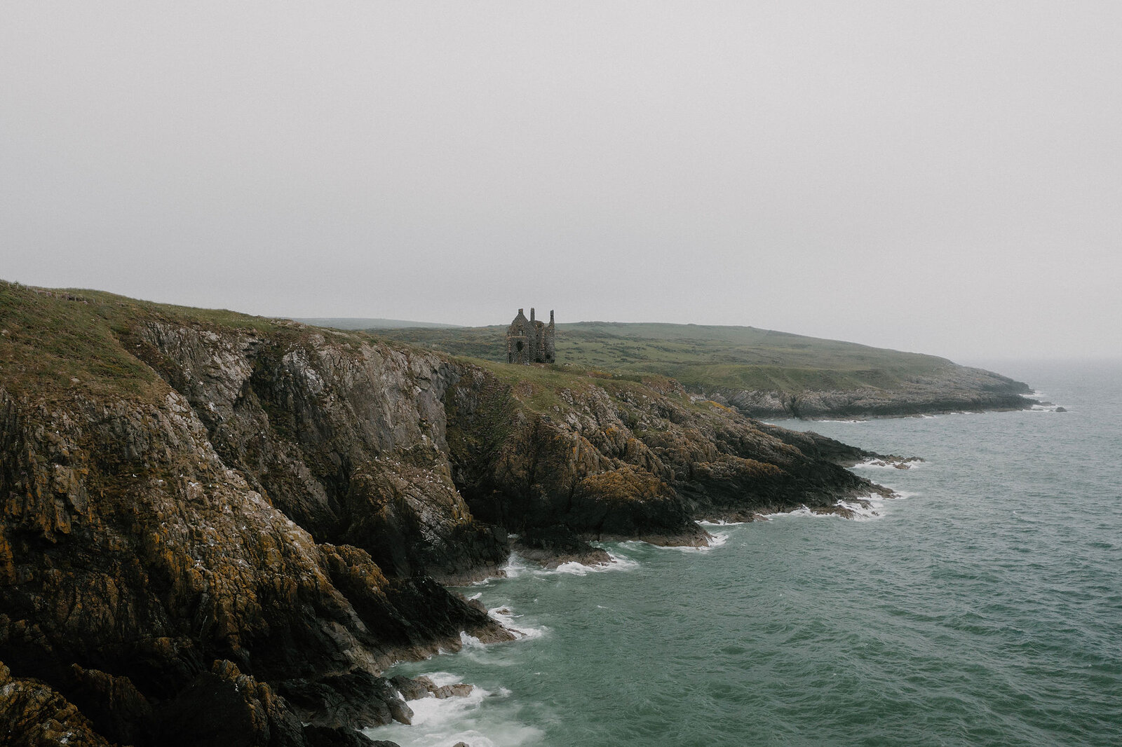
From there a narrow clifftop path runs south to Dunskey Castle, about 1 km (just over half a mile) from the harbour front. GPS Routes, a walking guide, gives 15 to 20 minutes each way, and the walk comes back the same way. The council grades its Portpatrick to Port Logan section of the coast path strenuous, for its steep steps, narrow clifftop paths and uneven surfaces, and there is no shelter on the path, so wear sturdy shoes.
If it rains
In rain or a strong wind leave out the cliff path, with its steep steps, narrow clifftop path and uneven ground and no shelter on it, and keep to the harbour front; the castle can wait for a dry day, and lunch is indoors in the hotel's conservatory.
Along the way
About 15 min on foot
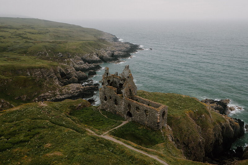
Dunskey Castle
An attraction
GPS Routes gives 15 to 20 minutes each way along the cliffs to Dunskey Castle; with time to look, an hour there and back is plenty. It is a tower house of the 1500s, the Adairs of Kinhilt's, on the site of an earlier castle, on a promontory cut off from the land by a rock-cut ditch 15 metres wide on its one landward side. It was a ruin by 1684, and the estate says it was stripped of its dressed stone and timber in the late 1600s. What is left is a tall, roofless shell with walls a metre and a half thick, on a rock the estate puts about a hundred feet above the sea. The owner restricts access and you can't go inside, but the council says there are fine views of it from the cliffs to the south. The ground is open, with no gate or staff, so go in daylight and in dry, still weather. Keep children close, and keep dogs under proper control, as the Scottish Outdoor Access Code asks.
About 12 min on foot
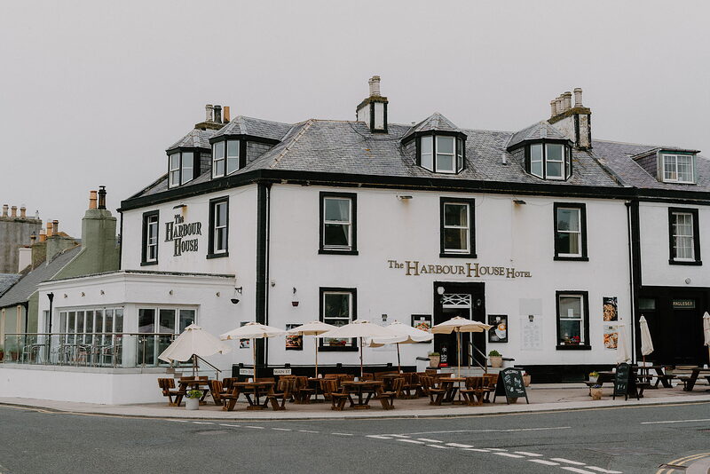
Harbour House Hotel
Lunch
Walk back the same way, down the steps and along South Crescent, to lunch at the Harbour House Hotel, the long white building on the harbour front. Food is served every day from 10am to 9pm, in the sea-facing conservatory, the bar, the lounge or out on the terrace, with fresh local seafood and a vegan menu. Dogs are welcome in the bar and lounge. If it's full, the Port Pantry, a few doors along the harbour, does breakfasts, lunches and cakes and is usually open until 4pm; ring 01776 810655 to check.
After the walk
Coffee and cake, something to do with the rest of the day, and dinner, nearest the end of the walk first.
Straight after
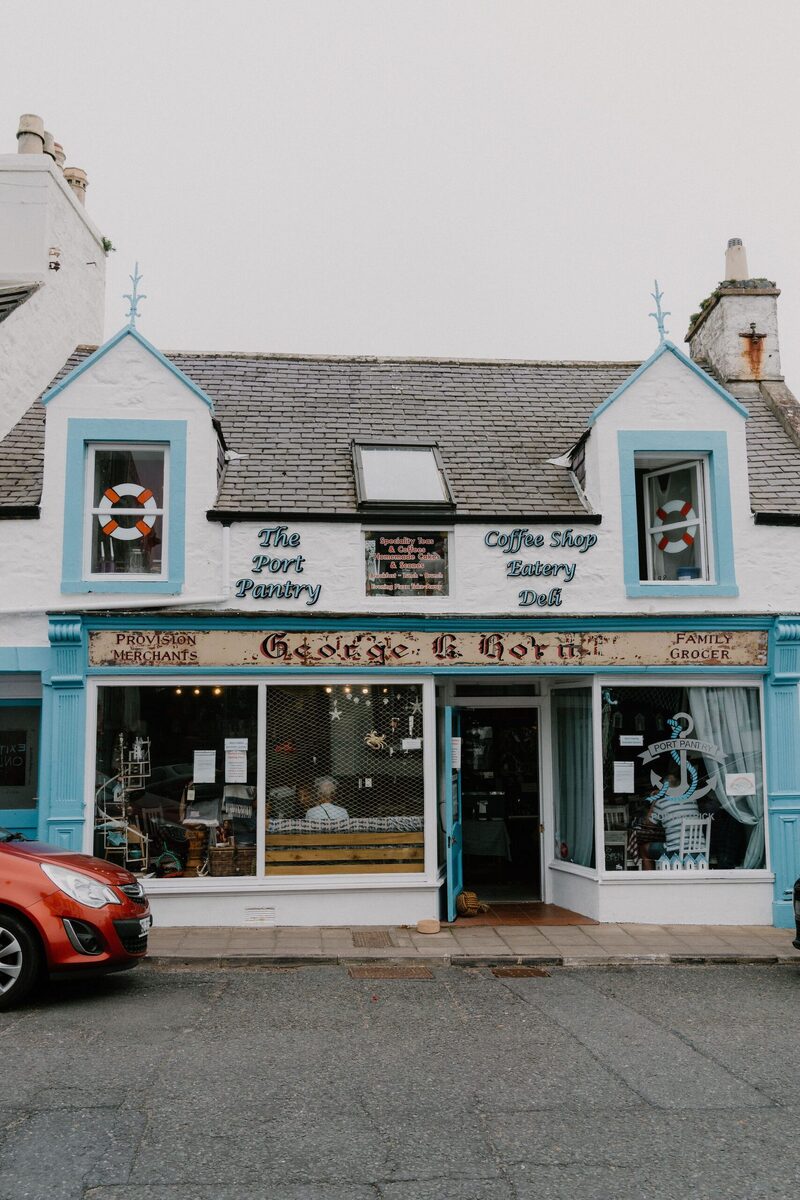 0 min by roadA caféThe Port Pantry, PortpatrickA café on the harbour front at 24 Main Street, Portpatrick, open every day from 9.30am for breakfast, brunch, lunch, coffee and dessert.
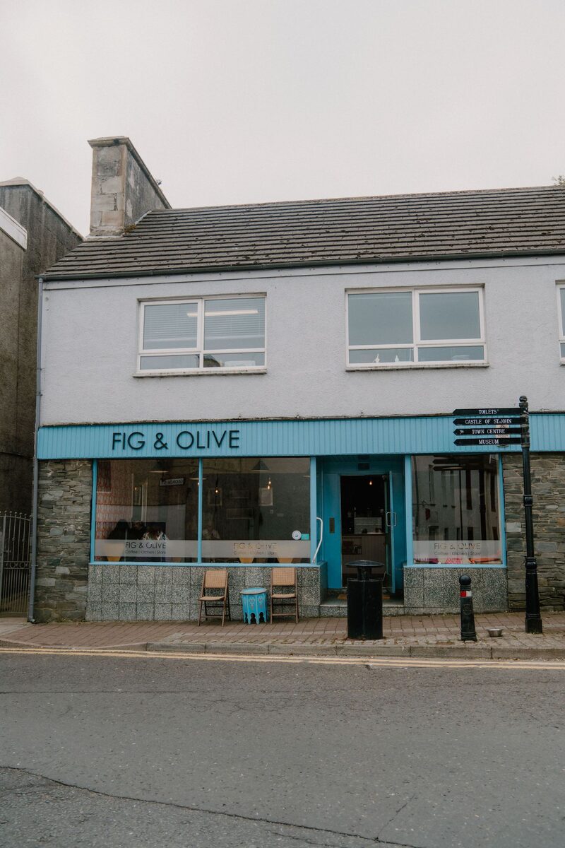 12 min by roadA caféFig and OliveA bright cafe on George Street in Stranraer, with brunch, hot dishes, fresh cakes and a welcome for dogs and children.
With the rest of the day
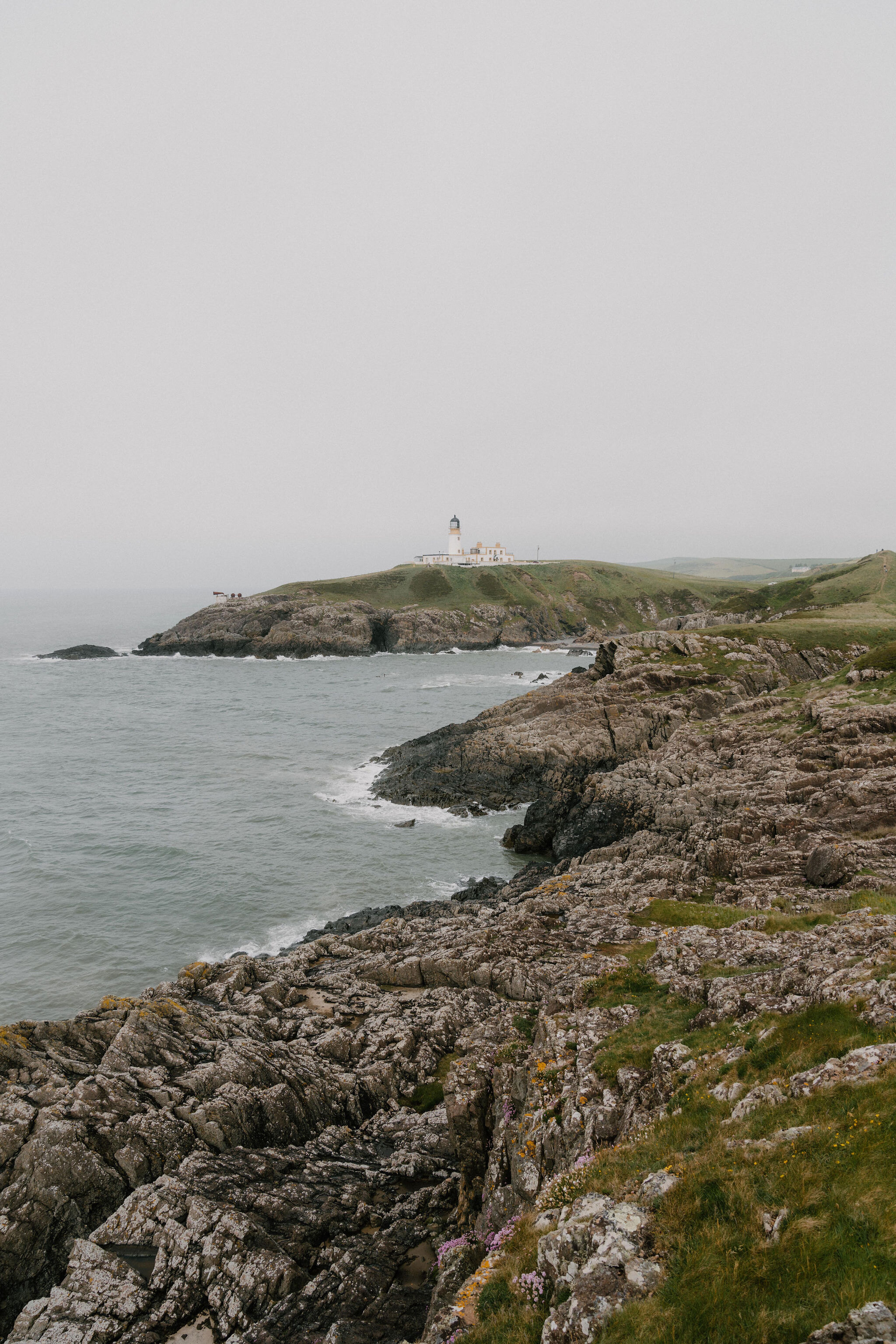
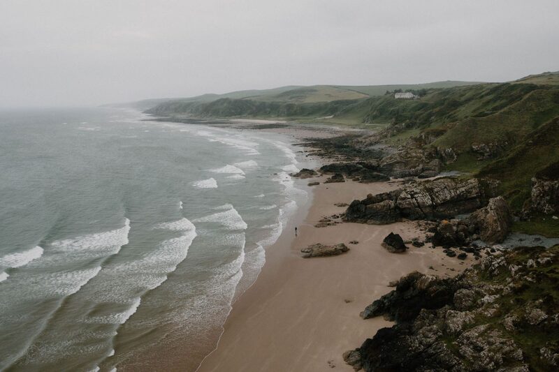 9 min by roadThings to doKillantringan Lighthouse and BayA white lighthouse of 1900 on the cliffs north of Portpatrick, above a sandy bay.
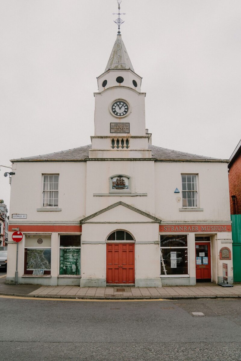 12 min by roadThings to doStranraer MuseumThe museum of Wigtownshire in Stranraer's Old Town Hall of 1776, free to visit, with refurbished displays and children's trails.
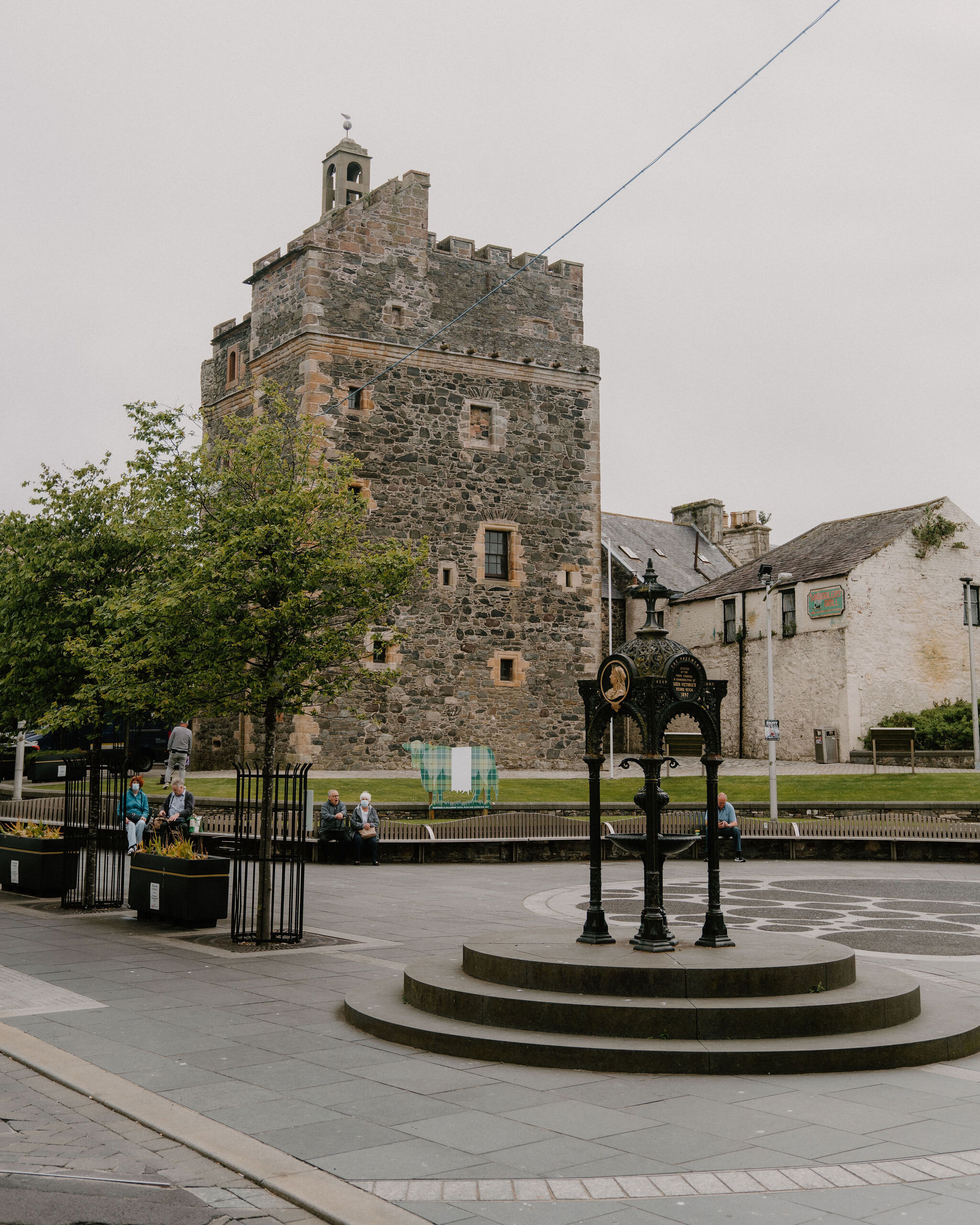 12 min by roadThings to doCastle of St JohnA tower house in the middle of Stranraer that has been nearly everything.
For dinner
The Waterfront, Portpatrick in Portpatrick, a minute by road. A bistro with a harbour terrace in a small hotel on Portpatrick's harbour.
The Crown Hotel, Portpatrick in Portpatrick, a minute by road. A seafood restaurant and bar on North Crescent, looking over the harbour at Portpatrick.
Knockinaam Lodge in Portpatrick, 14 minutes by road. A 19th-century country house above its own cove near Portpatrick, a restaurant with rooms with three AA Rosettes and a seven-course dinner that changes daily.
Places to stay near the walk
Our places to stay nearest the start, by road.
An advert · Portpatrick
Fern Forest House
A grey stone house for six between two lochs on the Dunskey Estate near Portpatrick.
Sleeps 6 · 3 minutes by road
See Fern Forest House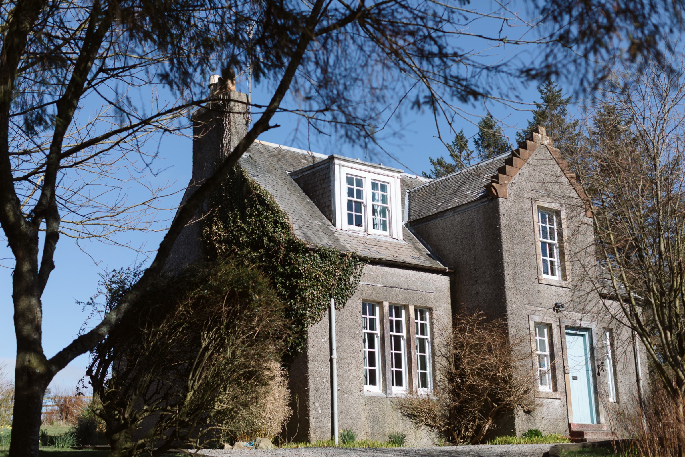
More places to stay near the walk
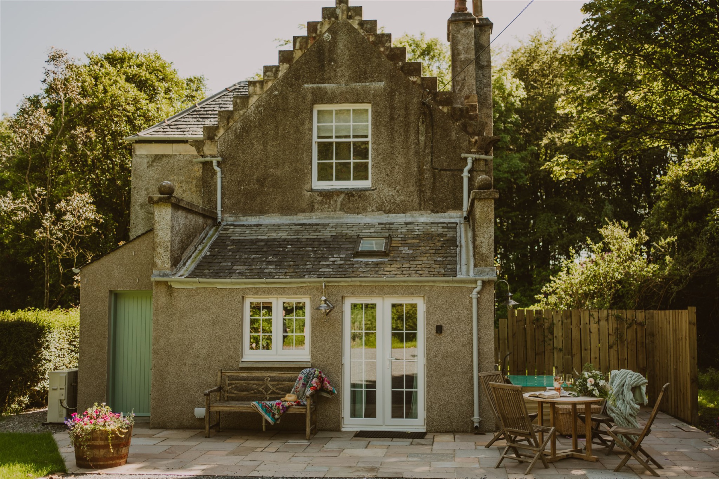 An advert · PortpatrickArtemisia LodgeSleeps 4 · 3 minutes by road
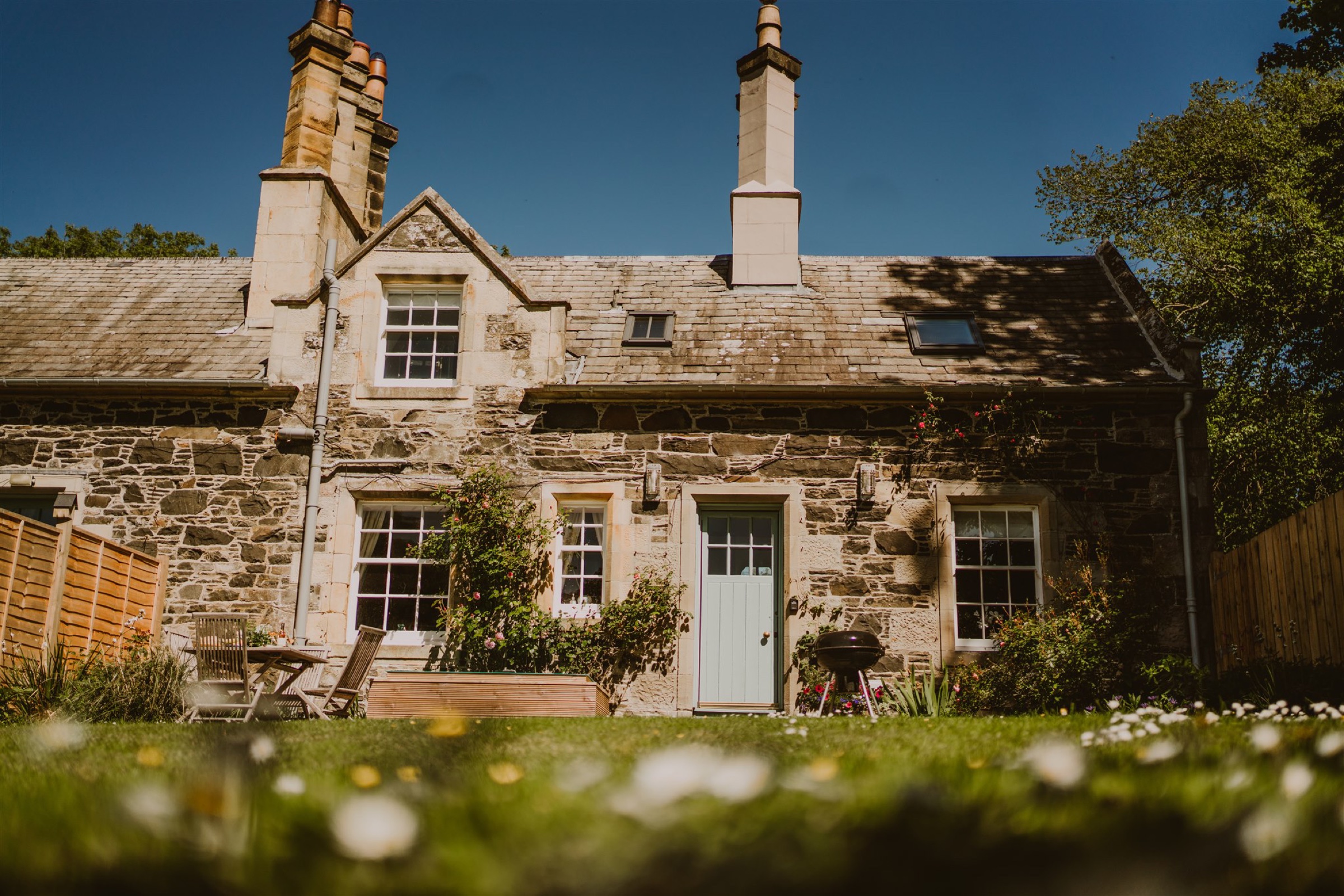 An advert · PortpatrickFawn's Velvet LodgeSleeps 4 · 3 minutes by road
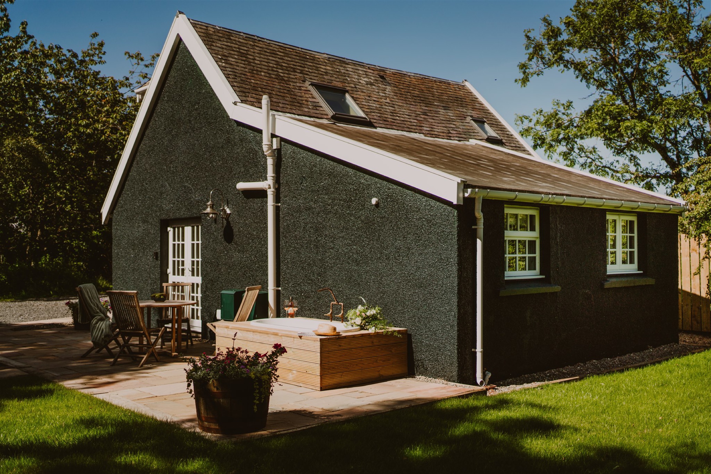 An advert · PortpatrickHarriet's Lodestar LodgeSleeps 4 · 3 minutes by road
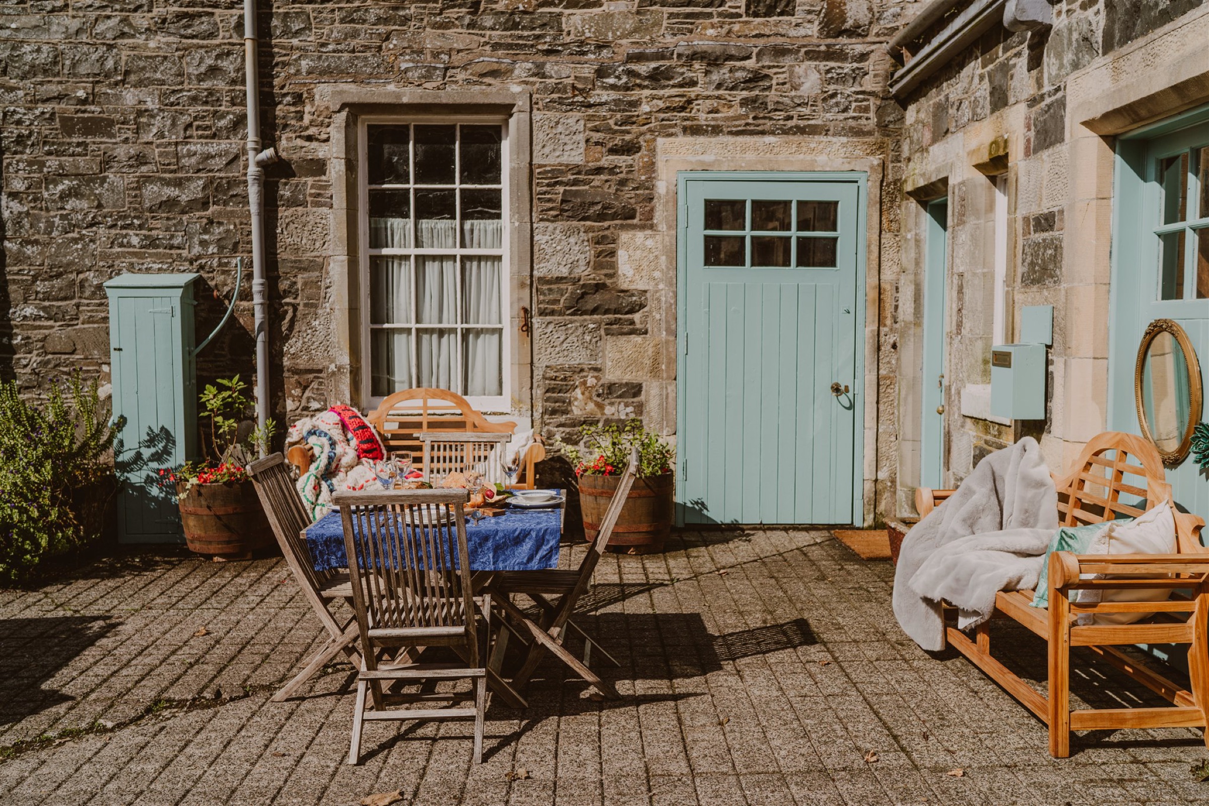 An advert · PortpatrickHeritage Coachman LodgeSleeps 4 · 3 minutes by road
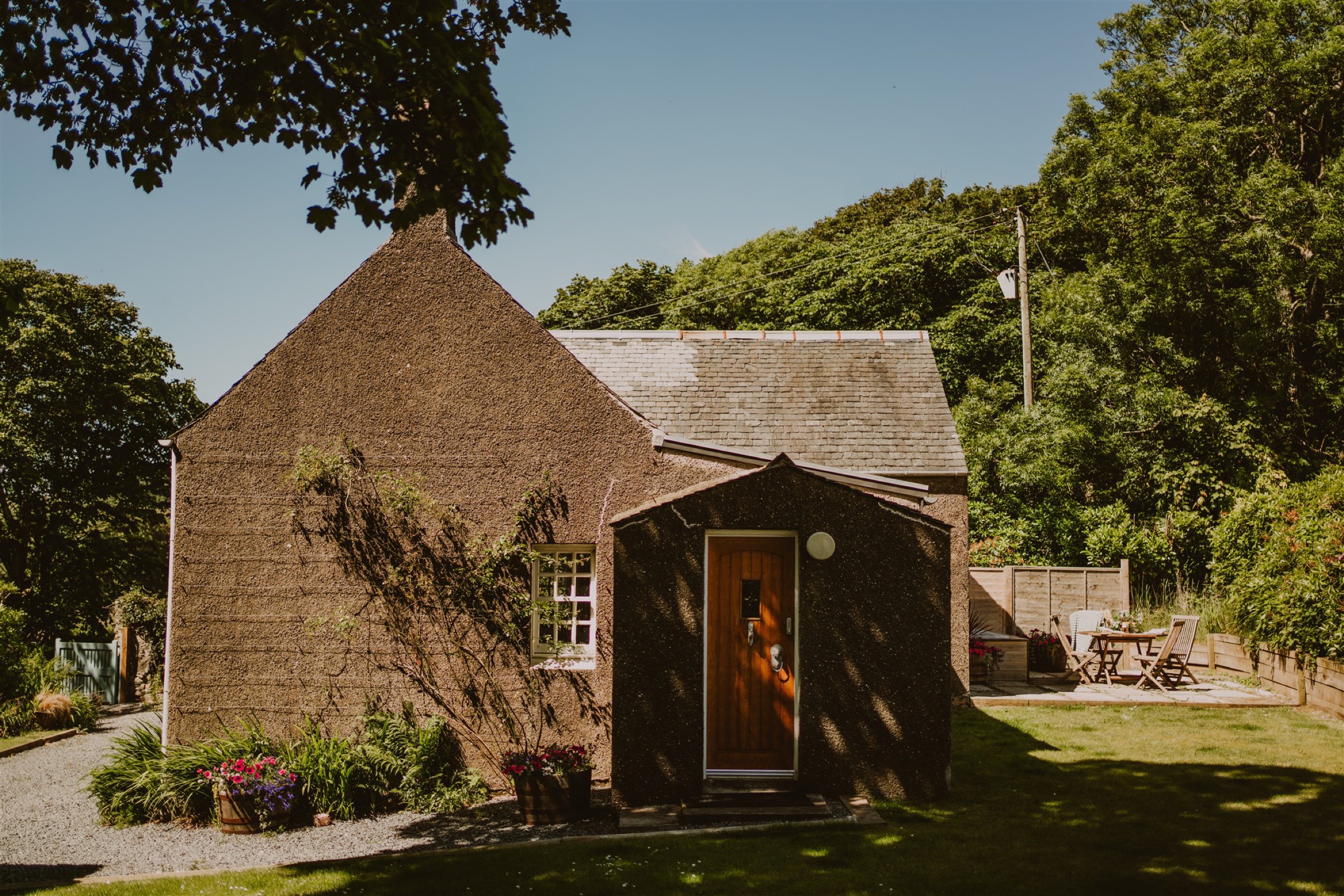 An advert · PortpatrickRose Blair LodgeSleeps 2 · 3 minutes by road
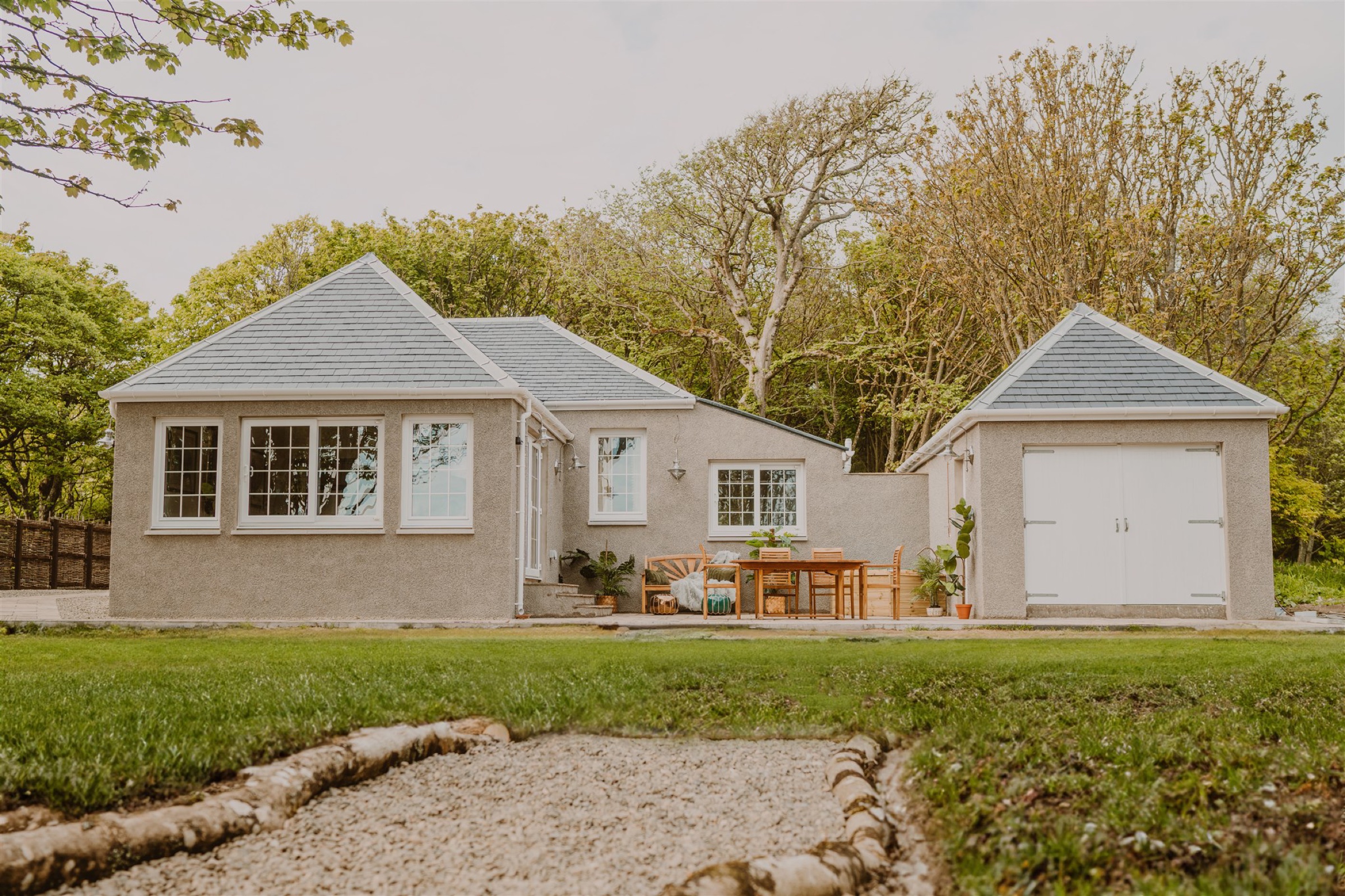 An advert · PortpatrickSaltwater Chronicles LodgeSleeps 6 · 3 minutes by road
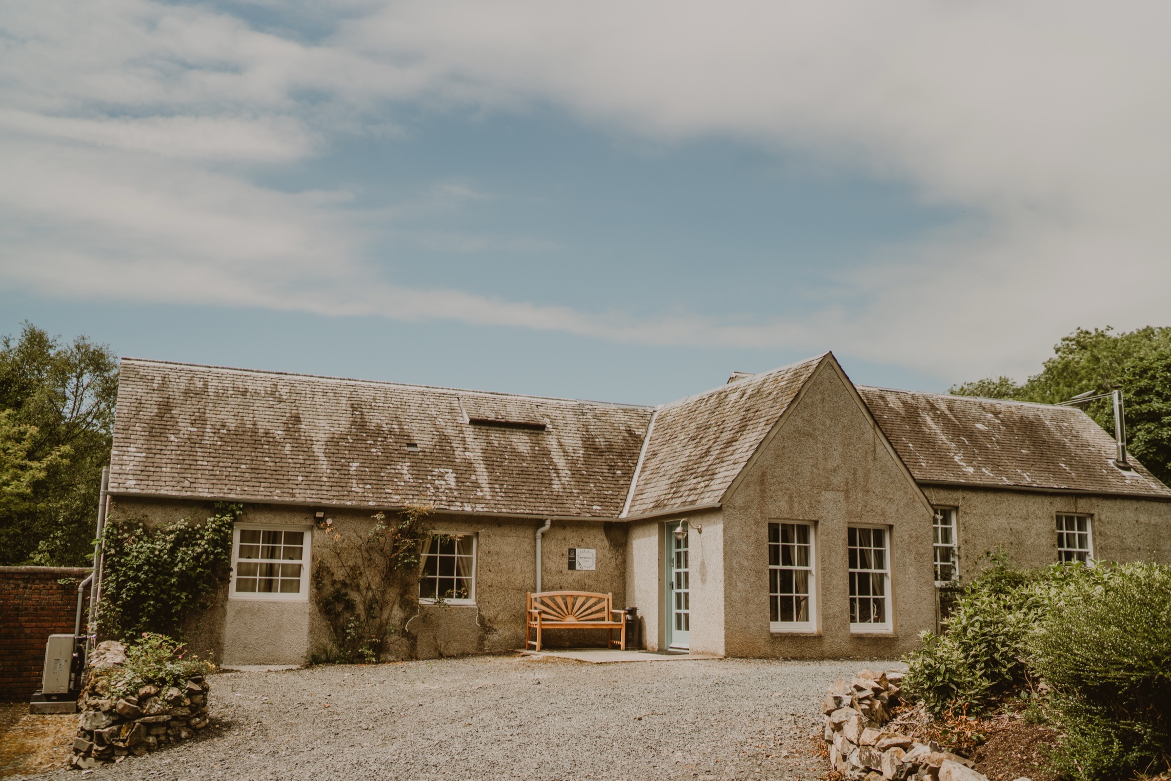 An advert · PortpatrickSymphonica LodgeSleeps 4 · 4 minutes by road
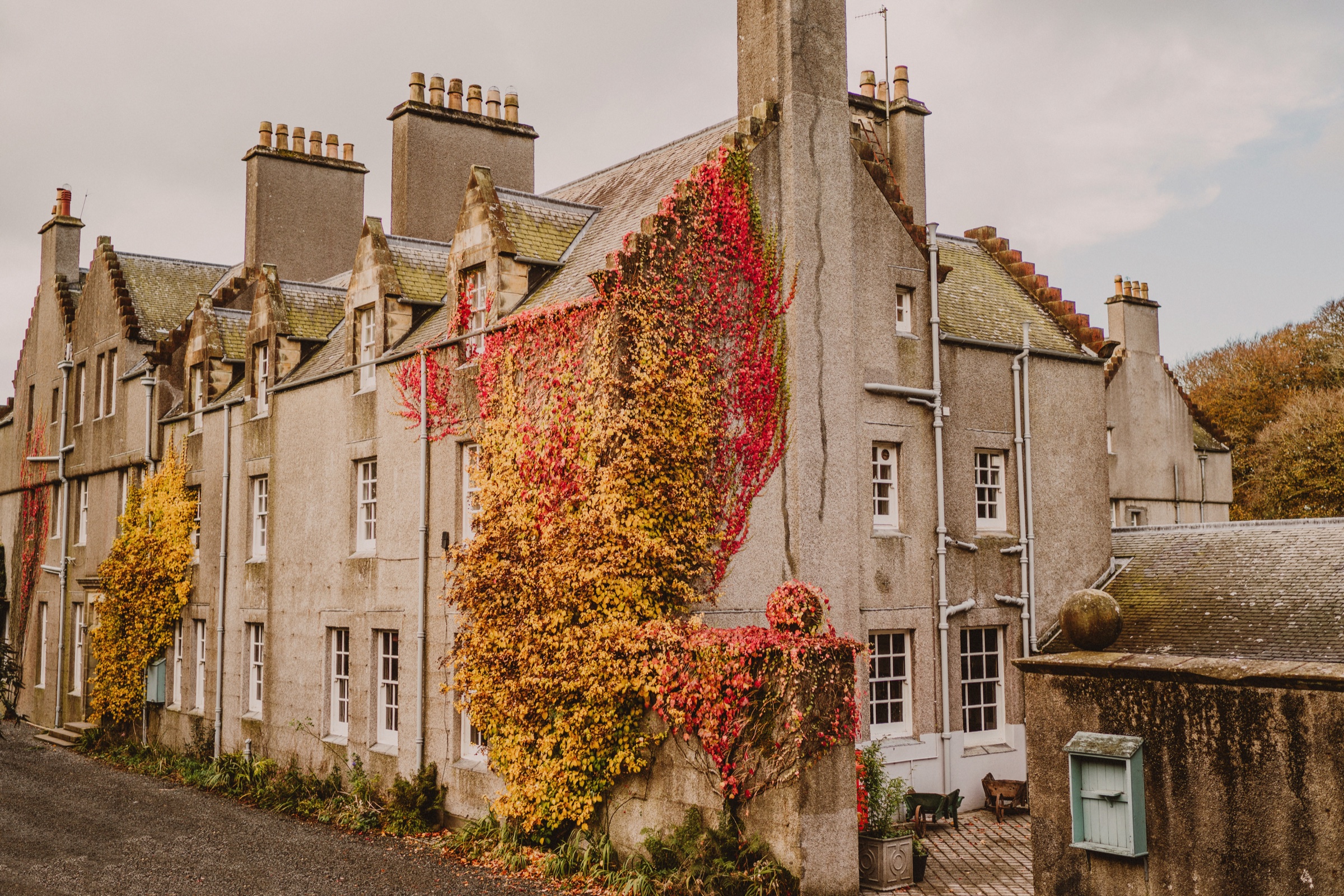 An advert · PortpatrickThe Royal ApartmentSleeps 10 · 4 minutes by road
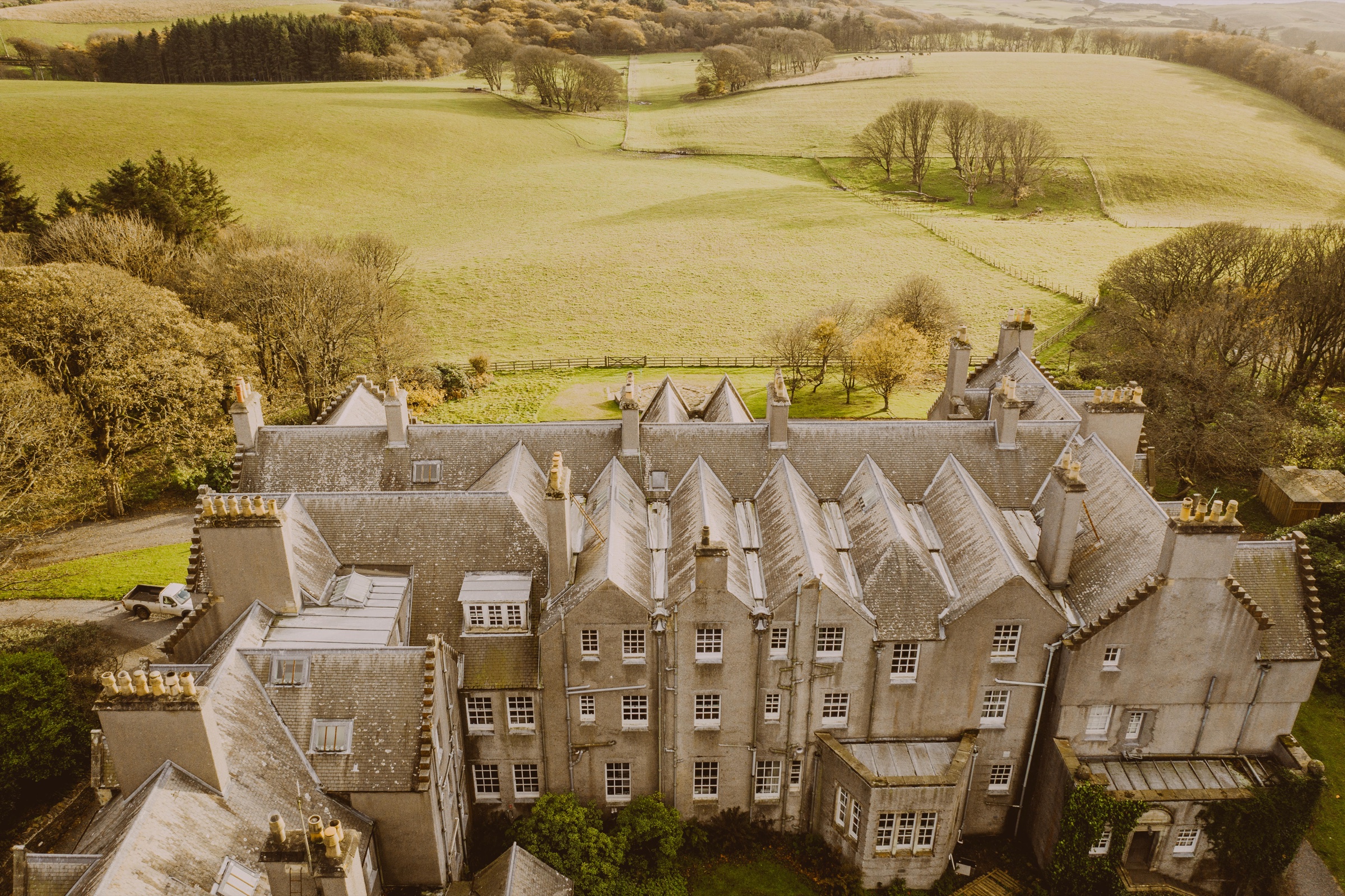 An advert · PortpatrickThe Velvet UppergroundSleeps 4 · 4 minutes by road
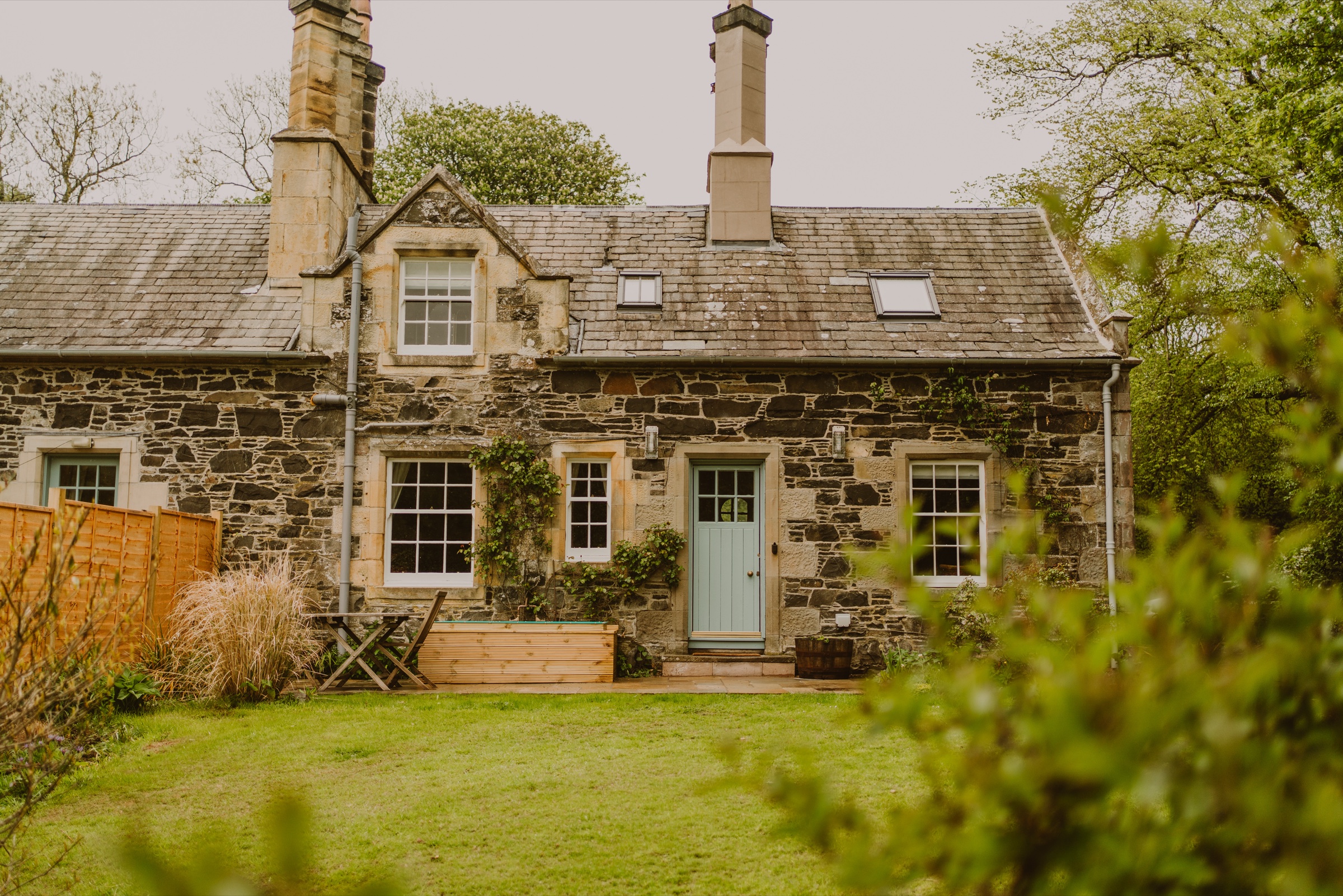 An advert · PortpatrickWren's NestSleeps 2 · 4 minutes by road
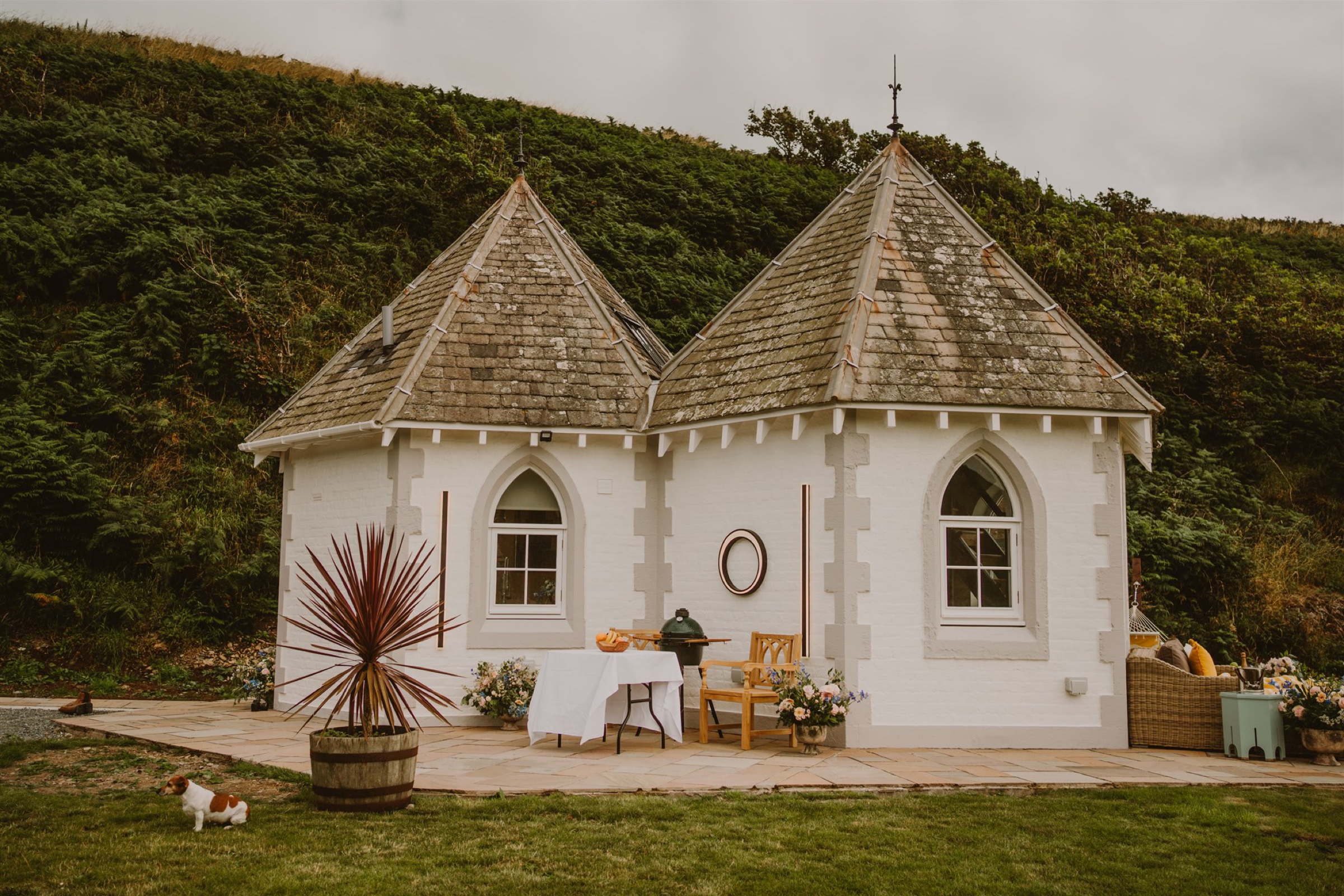 An advert · PortpatrickSelkie's Haven LodgeSleeps 2 · 5 minutes by road
More walks near here
Within a short drive of the start.
Did this walk?
Tell the next person how it went. The best go on this page, with your name.
Find out more
For further reading, before you go.
Maps from OpenFreeMap © OpenMapTiles, data © OpenStreetMap contributors; heights from Mapzen's terrain tiles.