
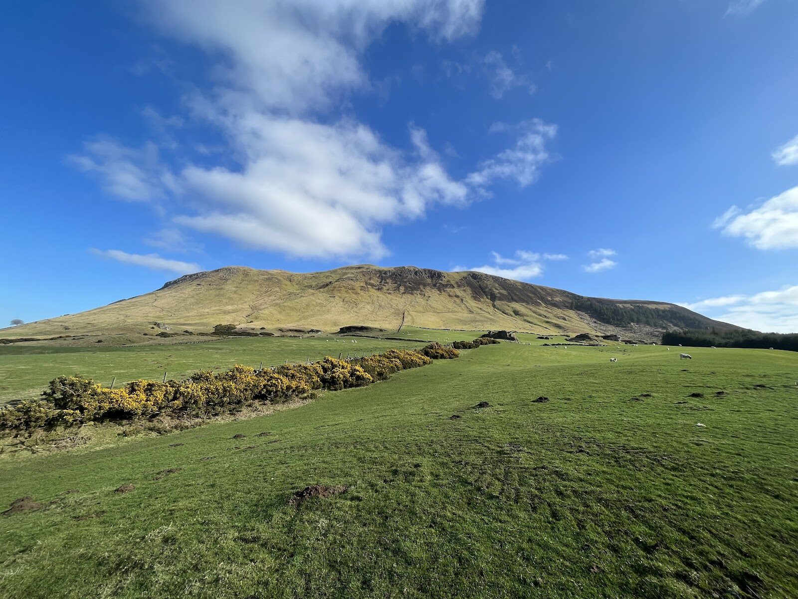
West Lomond – Across the Moor to the Highest Point in Fife
4½ miles · 4 hours · a hill · there and back
£2 parking · dogs on a lead
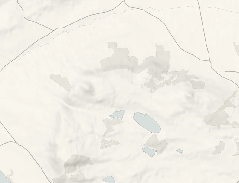
West Lomond is the highest point in Fife, a cone of old volcanic rock, 522 metres high, standing above the farmland.
The walk from Craigmead crosses open moor on a wide path and then takes a long, steep slope to the summit. It's 3.8 km each way and takes about four hours, so it's a hill for a clear day and an early start.
Where it starts
Craigmead car park, on the hill road between Falkland and Leslie.
Is it for me?
Tap who is coming, or the day you have, for the answer on this walk.
Before you go
Getting there
Free for under two hours, £2 for the day, by cash or card. Open 7am to 8pm from October to March.
On the path
About four hours: 3.8 km (2.4 miles) each way, with a long steep slope to the top at 522 metres. A wide, well-surfaced path with some long steep stretches, then a long steep slope to the summit. Not for wheelchairs or pushchairs. A long day for children under eight.
Good to know
All year in daylight, on a clear day. The car park shuts at 8pm from October to March and its toilets are shut for the rest of 2026. From November to January, set off by 10.30am. Dogs on a lead: sheep and cattle graze the hillside. The toilets at Craigmead are shut for the rest of 2026: use those at the East Lomond car park or in Falkland. The summit is exposed and the weather can turn quickly.
The walk
West Lomond is 3.8 km each way from the Craigmead car park, and the Fife Coast and Countryside Trust allows two hours each way, so about four hours in all. The first and longer part crosses rolling moor on a broad, firm path, climbing hard in places, to the foot of the hill. The trail's own page, from the Trust, has the route.
Then comes the hard part, a long steep slope to the cairn and trig point at 522 metres. The cone is what is left of a volcano's plug, sitting on a step of sandstone and limestone. People have been up here a very long time. Close to the path are a Bronze Age burial cist and the rings of prehistoric huts, and a short way off is a boulder carved with an early Christian cross and a fish. On a clear day the view from the top runs from Loch Leven below to the Perthshire hills. Sheep and cattle graze the hillside, so keep dogs on a lead. The summit is open and the weather can turn quickly, so carry waterproofs and a warm layer. It's a long day for children under eight. Walk it in daylight.
If it rains
This is no walk for rain or low cloud: the summit is open, the last slope is slippery and there's nothing to see. East Lomond, further along the same road, is the shorter hill for a doubtful day.
After the walk
Coffee and cake, something to do with the rest of the day, and dinner, nearest the end of the walk first.
Straight after
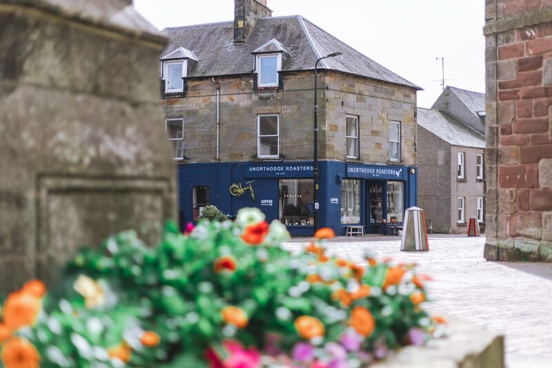 22 min by roadA caféUnorthodox Roasters, KinrossA speciality coffee roaster and cafe on the High Street in Kinross, roasting single origin beans on site, with breakfasts and brunch.
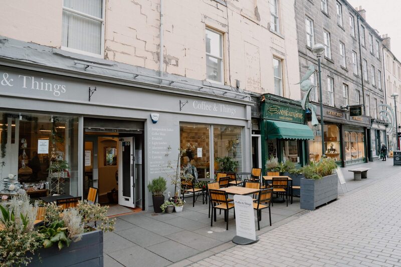 29 min by roadA caféCoffee and ThingsA cafe on pedestrian St John Street in Perth, with good coffee, cakes, focaccia and breakfasts, and tables outside.
With the rest of the day
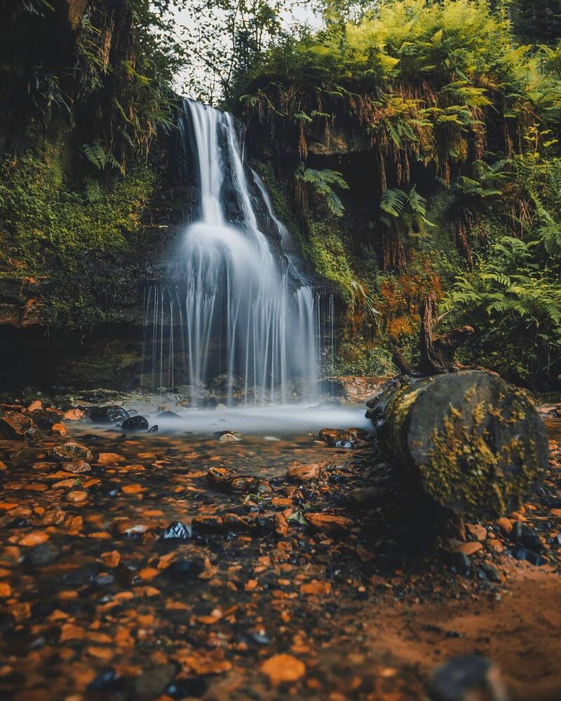 4 min by roadThings to doMaspie DenA wooded glen above Falkland, laid out as a Victorian showpiece of the Falkland Estate, with bridges, a tunnel and a path that passes behind a waterfall.
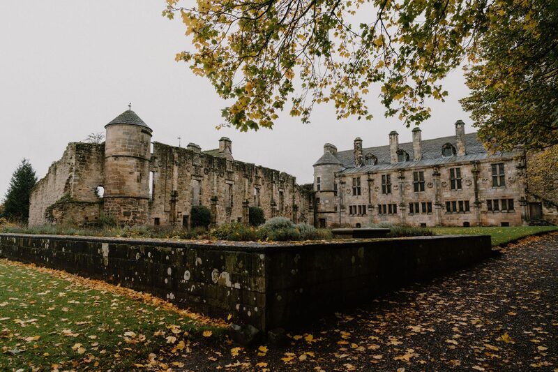 4 min by roadThings to doFalkland PalaceA Renaissance royal palace in the village of Falkland, loved by Mary Queen of Scots, with a great garden and the oldest surviving real tennis court.
For dinner
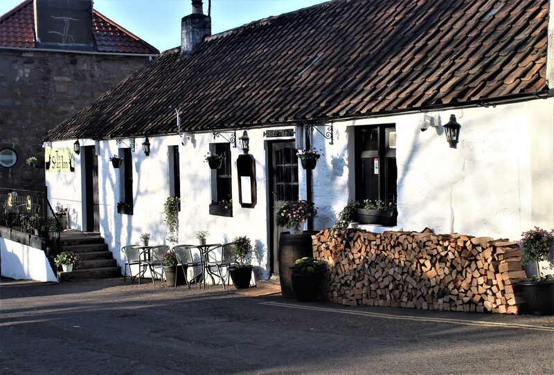
The Stag, Falkland in Falkland, 3 minutes by road. A cafe, bar and restaurant in Falkland's old village pub, reopened by a group of neighbours and cooking with the most local produce they can find.

Pillars of Hercules in Falkland, 6 minutes by road. An organic farm near Falkland, growing since 1983, with a farm shop, a vegetarian cafe, a campsite and a bothy in the woods.
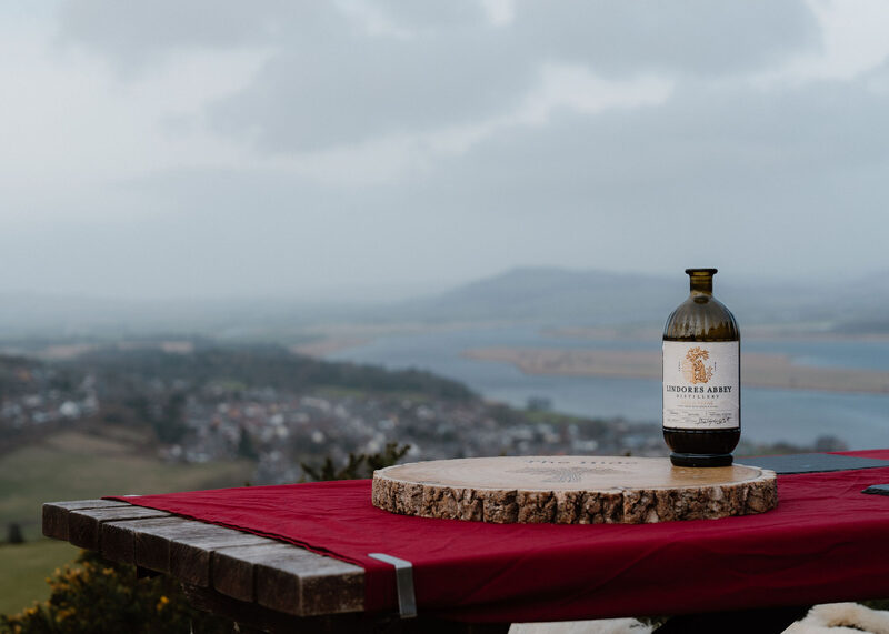
The Hide, Lindores, 18 minutes by road. A private barbecue hut on top of Lindores Hill, above Newburgh, hired by one group at a time for a lunch cooked over fire, with views over the Tay.
Places to stay near the walk
Our places to stay nearest the start, by road.
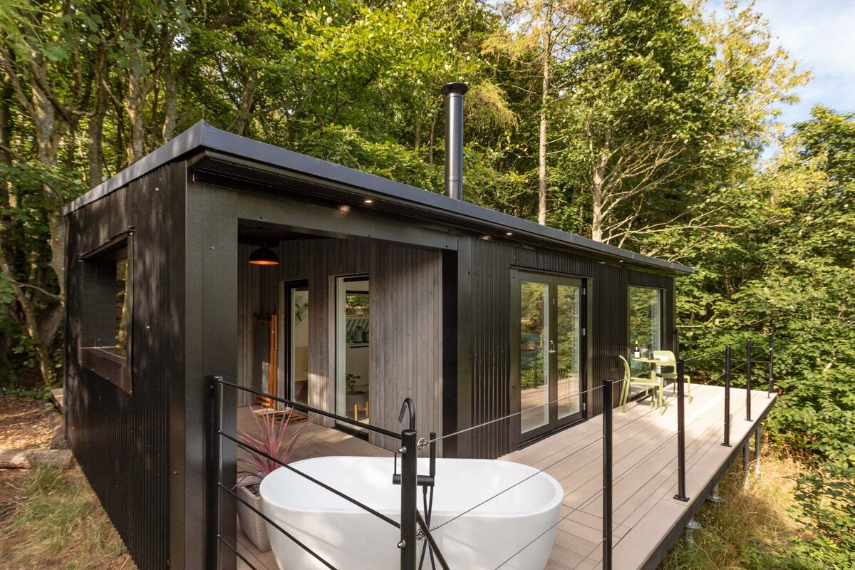
An advert · Newburgh
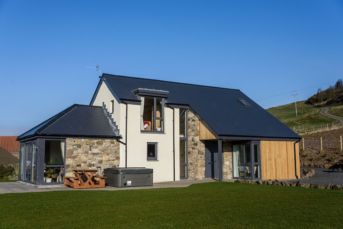
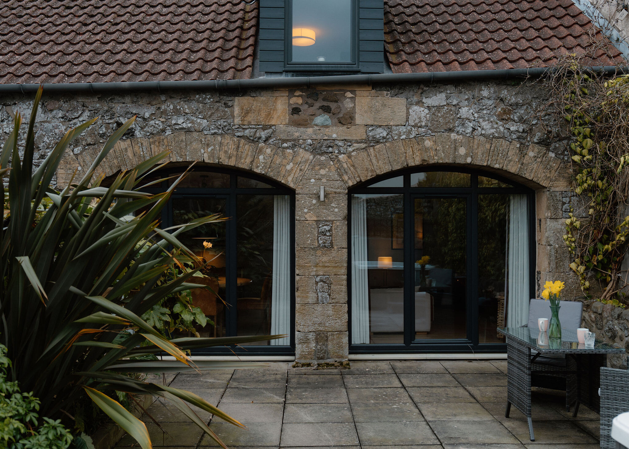
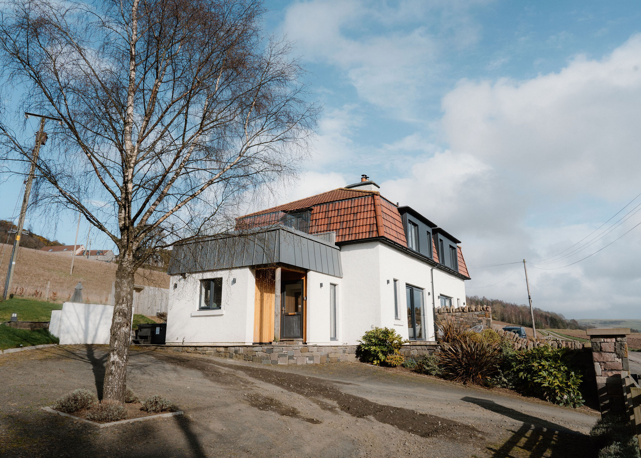
The Glasshouse
A glass-fronted longhouse on a farm near Newburgh for four, and two more on a sofa bed, with a hot tub, a sunken trampoline and room for dogs.
Sleeps 6 · 18 minutes by road
See The Glasshouse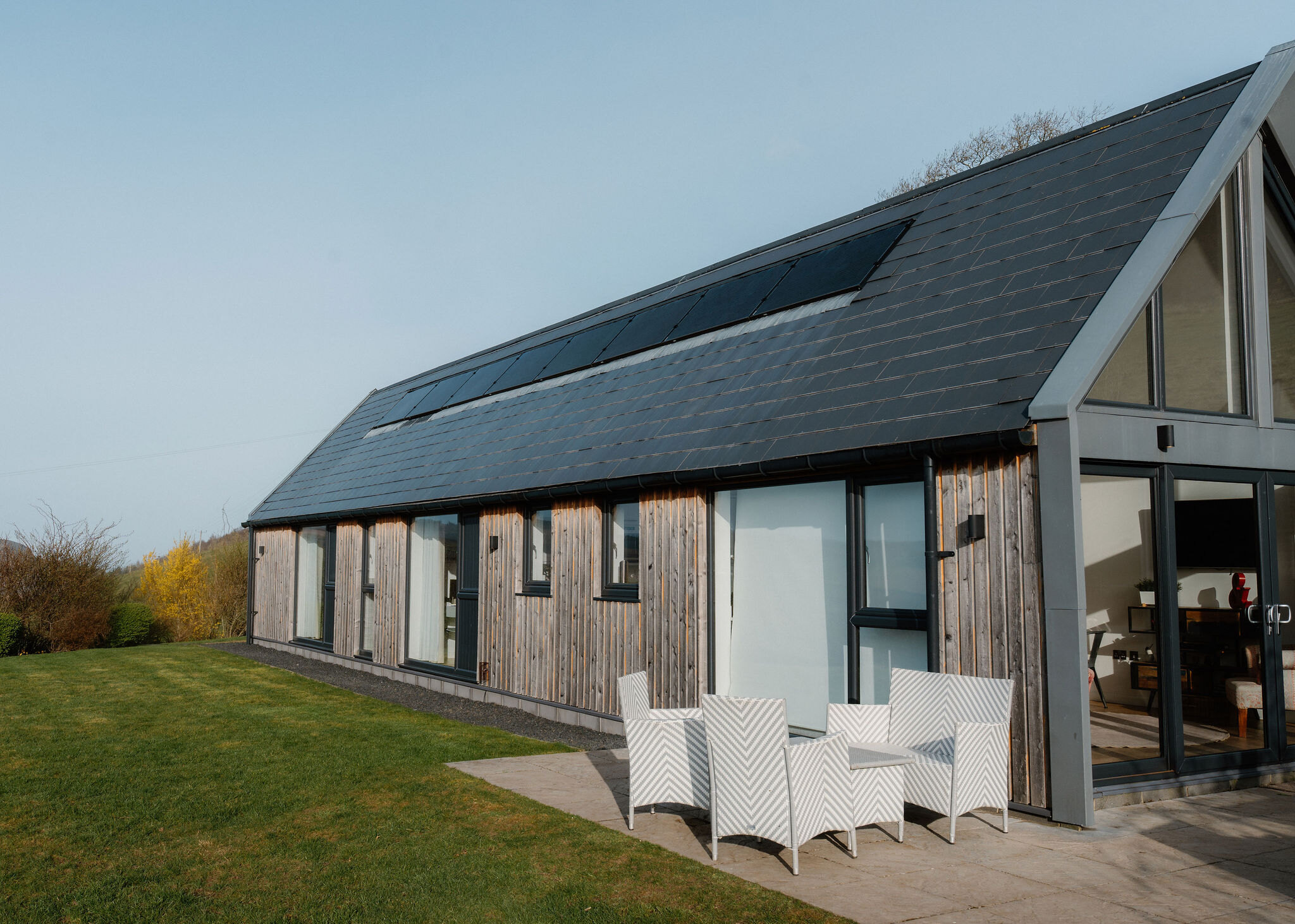
More walks near here
Within a short drive of the start.
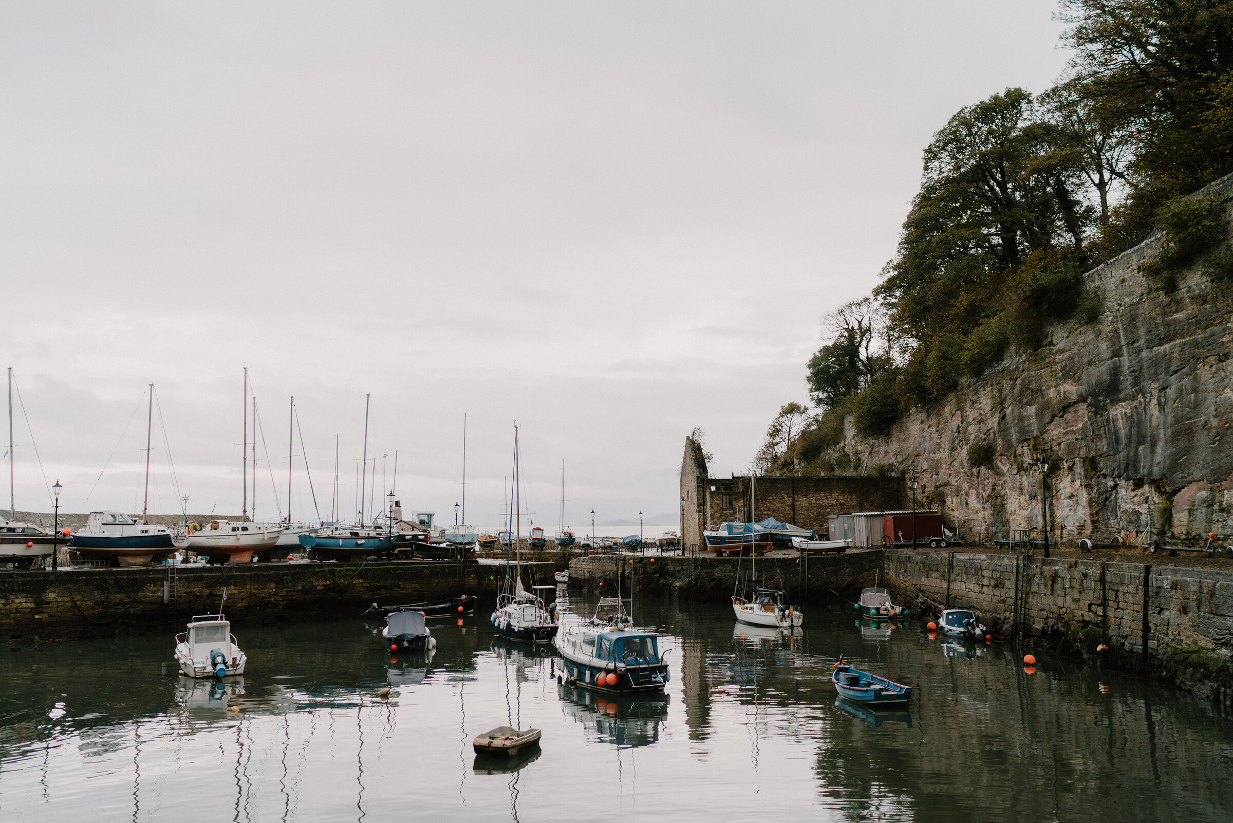 18 min by roadA walkDysartOne to three hours
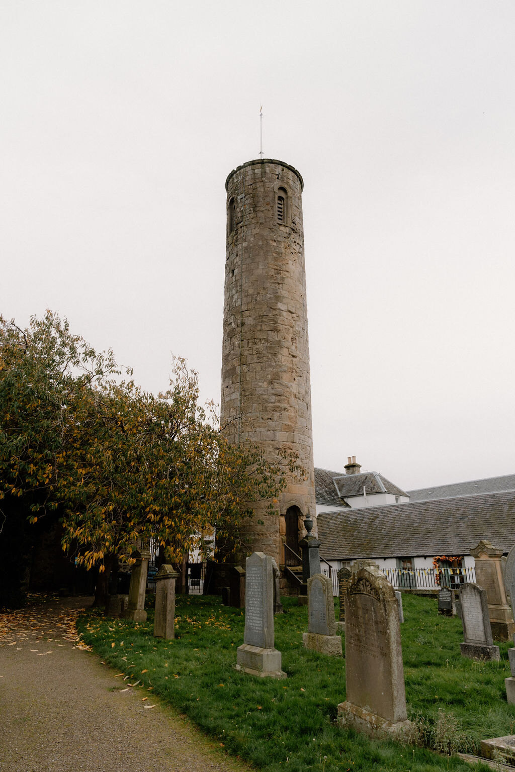 18 min by roadA strollAbernethy2 miles, about two and a half hours
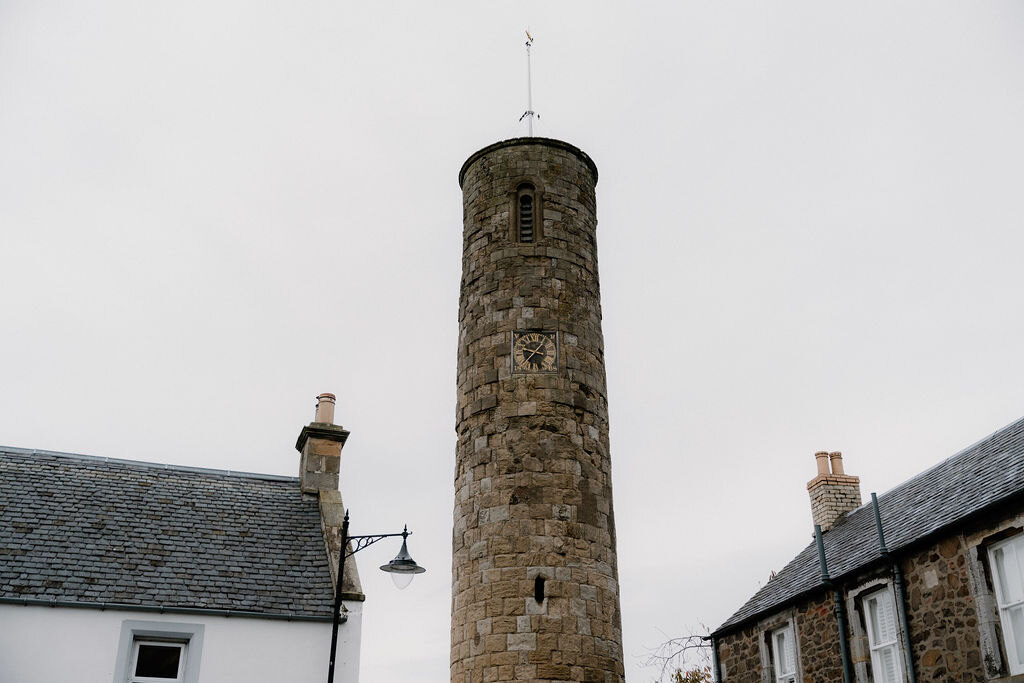 18 min by roadA walkAbernethyAbout an hour
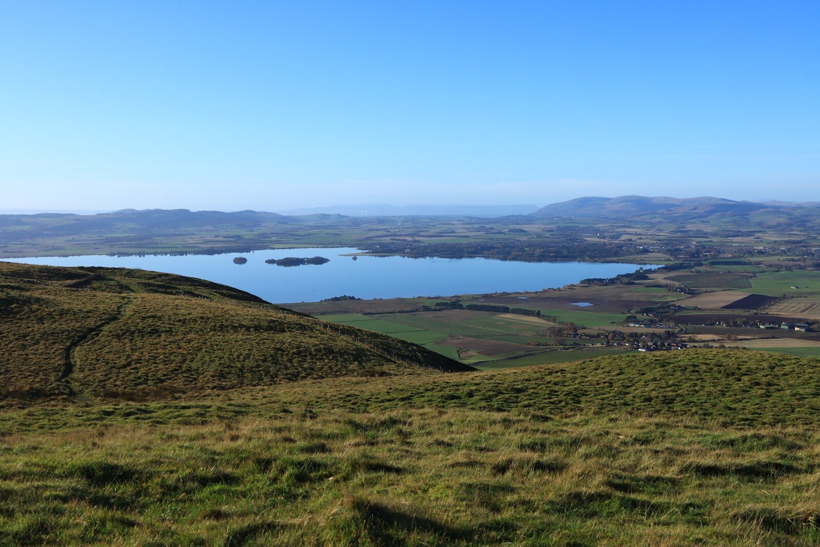 15 min by roadA hillBishop Hill3 miles, about two hours
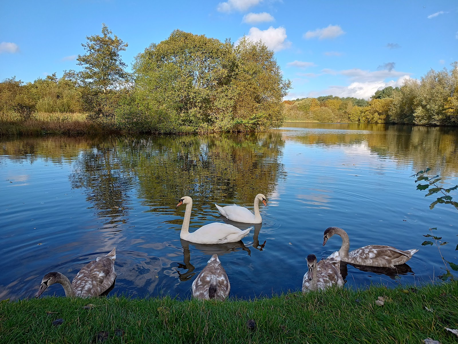 15 min by roadA strollBirnie and Gaddon Lochs1¾ miles, about three hours
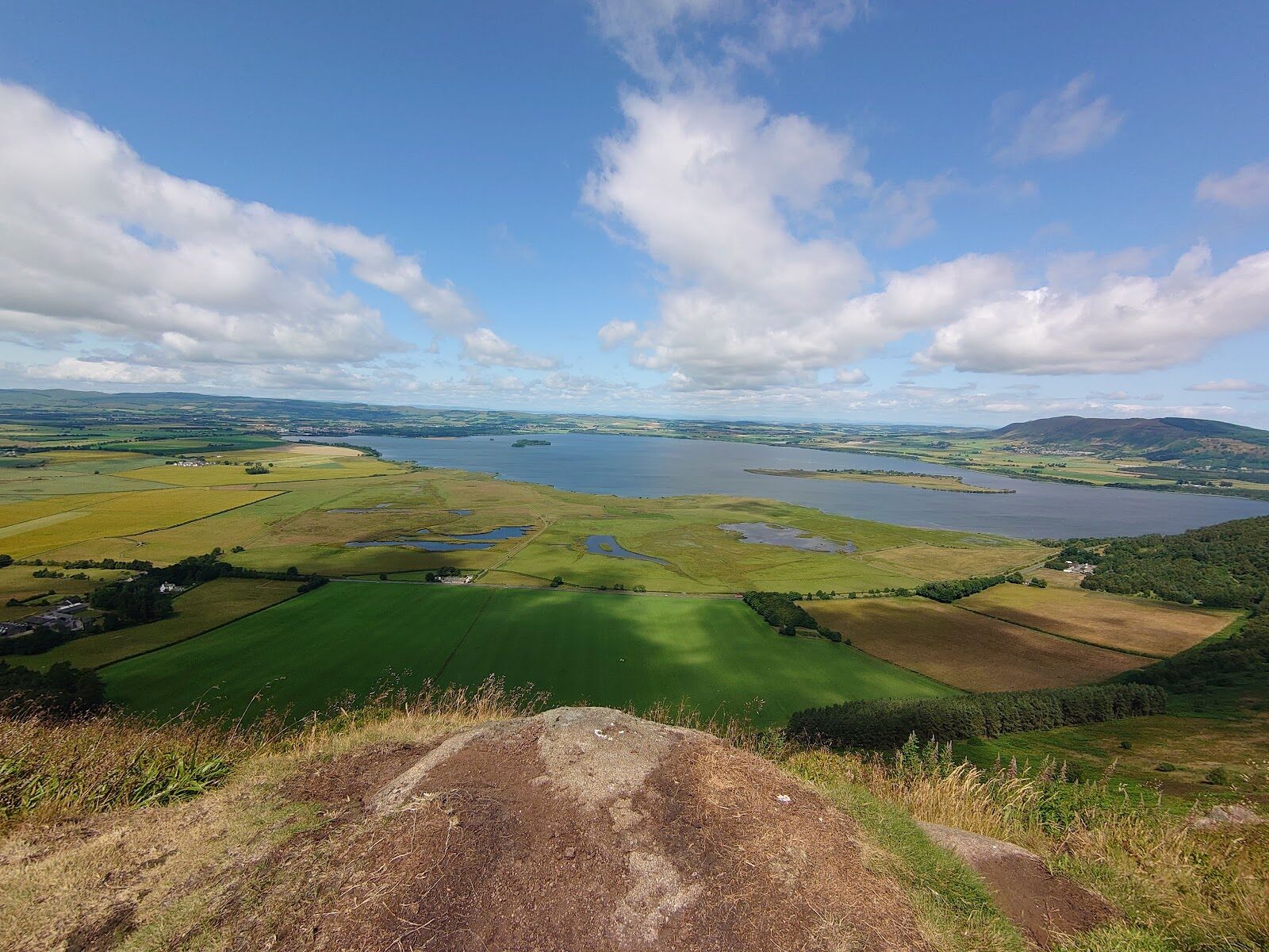 16 min by roadA hillBenarty Hill4½ miles, about three hours
Did this walk?
Tell the next person how it went. The best go on this page, with your name.
For further reading, before you go.
Photograph by Peter Howard via Google
Maps from OpenFreeMap © OpenMapTiles, data © OpenStreetMap contributors; heights from Mapzen's terrain tiles.