
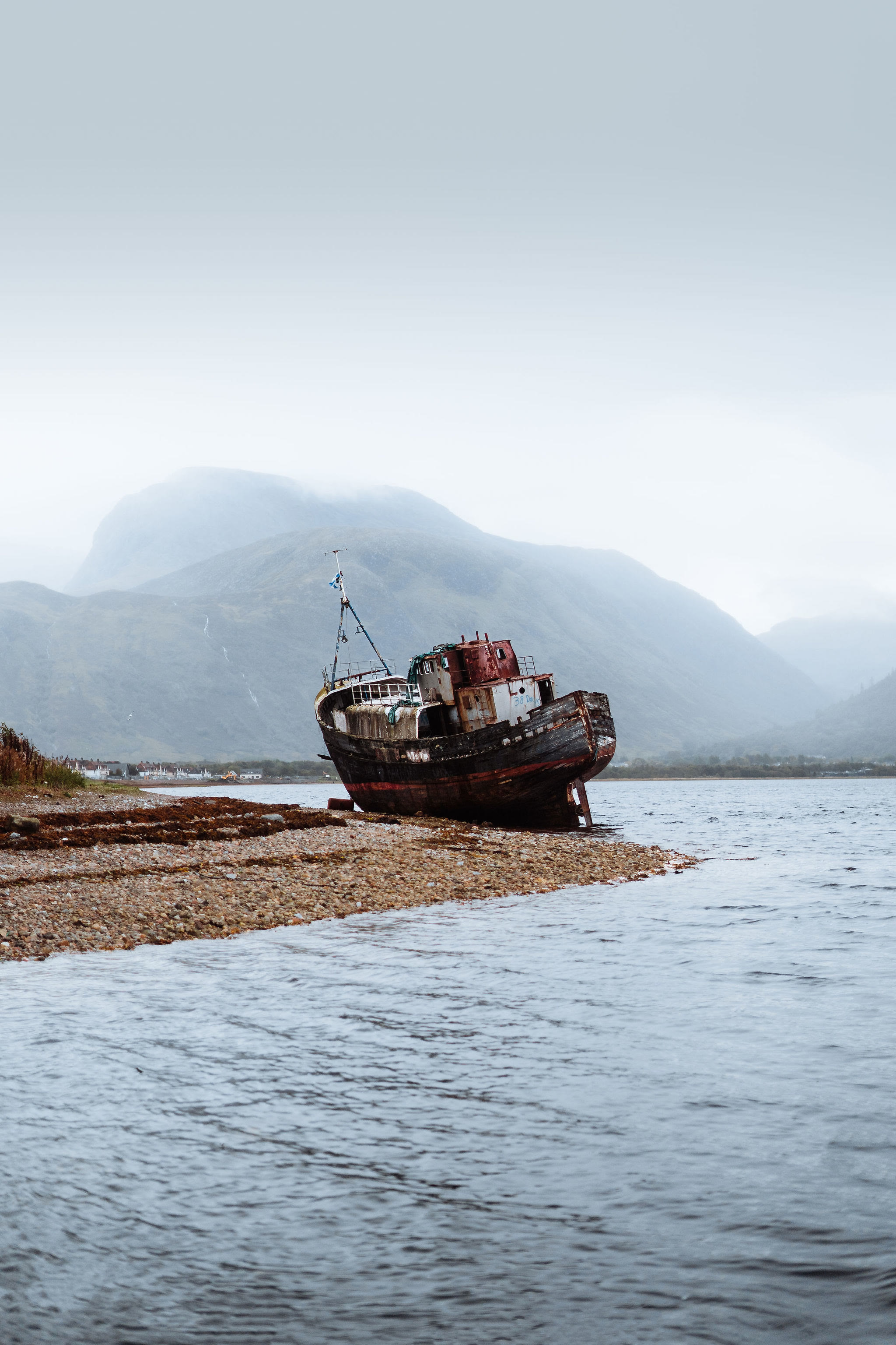
Ben Nevis – The Mountain Track from Glen Nevis
10 miles · 6 to 8 hours · there and back
dogs on a lead · toilets
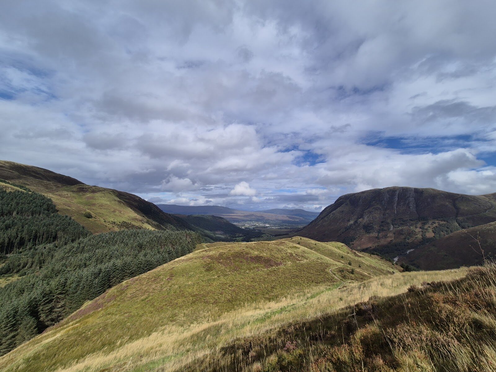
Ben Nevis rises over Fort William and Glen Nevis, at 1,345 metres the highest mountain in Britain, and most people who climb it go by the Mountain Track from the Ben Nevis Visitor Centre.
It climbs steeply to the halfway lochan, crosses the Red Burn and zigzags up the western face to a summit plateau ringed by steep, dangerous ground. It's 16 km there and back, which the Nevis Landscape Partnership says normally takes 6 to 8 hours and VisitScotland puts at 7 to 9: a long, hard mountain day that asks for a map, a compass and the skill to use them.
Where it starts
Start at the Ben Nevis Visitor Centre car park in Glen Nevis, about 2 km from the middle of Fort William, where the Mountain Track starts.
Is it for me?
Tap who is coming, or the day you have, for the answer on this walk.
Before you go
Getting there
Up the Glen Nevis road from Fort William. Trains run to Fort William from Glasgow, and the Caledonian Sleeper from London Euston; Citylink's 914 runs from Glasgow's Buchanan Bus Station to Fort William Bus Station.
On the path
6 to 8 hours, normally, and sometimes longer, the Nevis Landscape Partnership says; 7 to 9 hours by VisitScotland's reckoning, 3½ to 4½ of them on the way up. 16 km (10 miles) there and back from the Ben Nevis Visitor Centre car park. A mountain path that grows increasingly rocky, arduous and exposed, with scree and loose stones, climbing the western face in sharp bends, the zigzags, to a summit plateau ringed by steep, dangerous ground and cliffs. VisitScotland recommends the climb only for children of 10 and over: a long, arduous climb for fit walkers. The map to carry is OS Explorer 392, Ben Nevis & Fort William (1:25,000); OS Landranger 41, Ben Nevis, Fort William & Glen Coe (1:50,000) shows the country round it.
Good to know
A summer walk: the Nevis Landscape Partnership's leaflet is for June to September. Snow can lie at any time of year, and in winter the climb is for experienced mountaineers only, VisitScotland says. Set off early to be down in daylight. Best on a lead, especially when the path is busy, VisitScotland says; parts of the way are uneven, with scree and loose stones that can be hard on some dogs. Use the toilets at the Visitor Centre before you set off, VisitScotland says. There are no bins on the hill: take all litter home.
The walk
The Mountain Track, the way most walkers climb Ben Nevis, starts from the Ben Nevis Visitor Centre car park in Glen Nevis, about 2 km from the middle of Fort William and only some 20 metres above the sea, VisitScotland says. It's a long, hard day: 16 km (10 miles) there and back, which the Nevis Landscape Partnership says normally takes 6 to 8 hours and can take longer, and which VisitScotland puts at 7 to 9 hours, 3½ to 4½ of them on the way up. The path grows rockier, more arduous and more exposed the higher it goes, and the way down can be as tiring as the way up: many accidents happen on the descent.
Set off early in the morning so you are not coming down in the dark, and tell someone your route and when you expect to be back. Carry a map and a compass and know how to use them: the leaflet names OS Landranger 41, OS Explorer 392 and Harvey's Ben Nevis map at 1:25,000, and warns that a mobile phone signal is not to be relied on. Check the mountain weather forecast before you go (it is shown at the Visitor Centre too): the weather changes fast up here, and the summit can be far colder than the glen, below freezing even on a sunny day. Use the toilets at the Visitor Centre before you set off. There are no bins on the hill, so every scrap of litter comes home with you. VisitScotland recommends the climb only for children of 10 and over. Dogs are best on a lead when the path is busy, and parts of it are scree and loose stones.
A steep climb brings you up to Lochan Meall an t-Suidhe, the halfway lochan, where the path divides. The Mountain Track is the right-hand fork, up towards the Red Burn. The left-hand fork goes on round under the North Face, the way to the Carn Mor Dearg Arete, a much longer route for experienced scramblers only. The Nevis Landscape Partnership's leaflet warns you to follow the Mountain Track here and not the path to the North Face, on the way down as well as the way up.
The leaflet calls the Red Burn the halfway point. Note the time you set off and the time you get here: if it has taken you 2 hours, allow at least as long again to the summit, and longer if you are tired, as the path only grows steeper. If you are in any doubt, about the weather, the time or how you feel, turn back: that is VisitScotland's advice, always.
Above the Red Burn the track climbs the western face of the mountain in a long series of sharp bends, the zigzags, as the John Muir Trust describes them. The going is rocky and arduous, with scree and loose stones underfoot. You may meet snow at any time of year, VisitScotland says, and where snow lies it covers the path and makes it very hard to follow.
The zigzags end on the summit plateau, and from here to the top the danger is the ground all round you. The Nevis Landscape Partnership's leaflet warns of steep, dangerous ground on every side of the summit, with cliffs of 600 metres (2,000 feet) on the north-east face. Keep to the main route and keep well back from the edge, above all in high wind or snow, when overhanging cornices are ready to break away. At the top of Five Finger Gully a gentle, harmless-looking slope quickly leads on to steep, dangerous cliffs, and many accidents happen there.
Cloud and hill fog can hide the way, worst of all over snow, and then you depend on a map and compass: setting a bearing, walking on it and counting your paces to measure the distance. Without those skills, the leaflet says, do not go above the snow line in fog. A GPS is a useful back-up, never the only way to find the path.
A cairn marks the highest point, 1,345 metres (4,413 feet) up. The summit also holds the ruin of the Old Observatory, opened in 1883 and abandoned in 1904, VisitScotland says. On a clear day the view can reach as far as Northern Ireland. The summit shelter is for emergencies only.
Before you start down, take a bearing on your compass so you are sure of leaving by the right path: that is the leaflet's own advice. It matters most in cloud, with steep, dangerous ground all round the summit, the top of Five Finger Gully and the cliffs of the north-east face among it. Home is the same way you came, down the zigzags and past the halfway lochan, keeping to the Mountain Track and not the path to the North Face. If someone is hurt, dial 999 and ask for the Police, then Mountain Rescue: it can take several hours for a team to reach you, the leaflet says, and you should not expect a helicopter.
If it rains
None on this walk: in rain, low cloud or a poor forecast the Mountain Track is a day to give up, not to shorten. If you are in any doubt, turn back, VisitScotland says, and the forecast is shown at the Visitor Centre before you set off.
After the walk
Coffee and cake, something to do with the rest of the day, and dinner, nearest the end of the walk first.
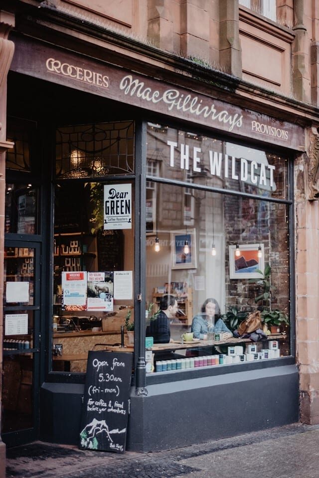
With the rest of the day
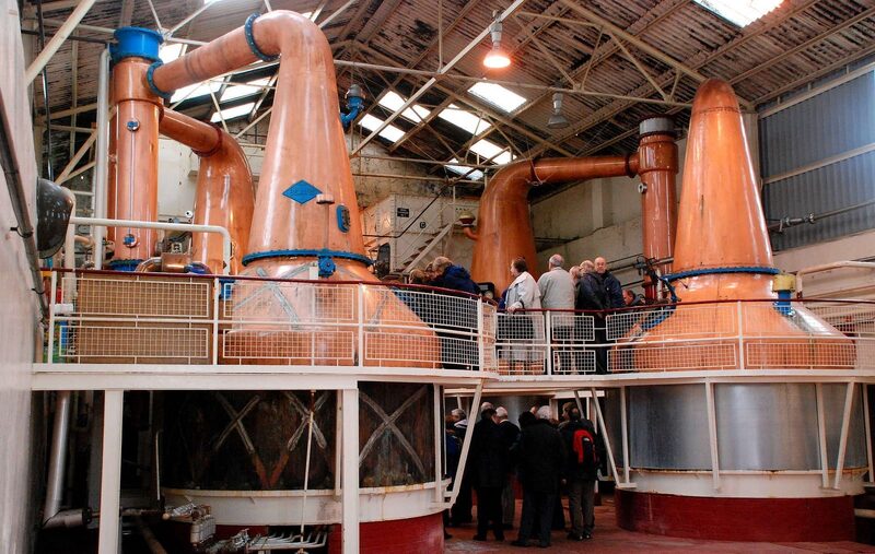 6 min by roadA tourBen Nevis DistilleryA whisky distillery at Lochy Bridge on the edge of Fort William, founded in 1825, with a visitor centre, coffee shop, tours and tastings.4 min by roadThings to doThe Old FortWhat remains of the fort that gave Fort William its name: grassy ramparts and a sally port by Loch Linnhe, and the start of the Great Glen Way.
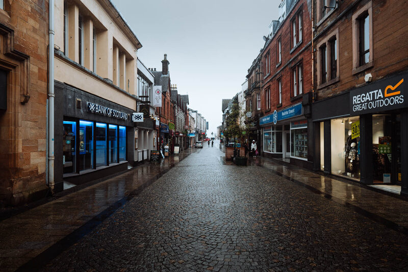 4 min by roadThings to doFort WilliamThe town under Ben Nevis at the head of Loch Linnhe, where the West Highland Way ends and the Jacobite leaves.
For dinner
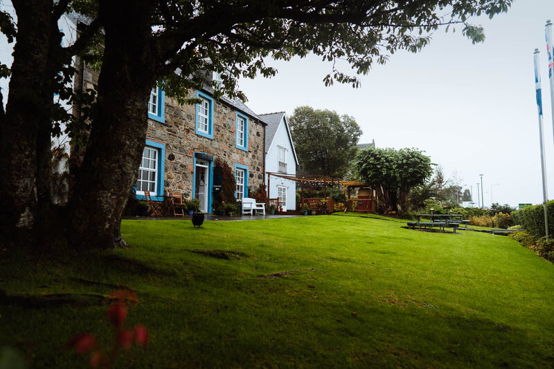
Lime Tree Hotel in Fort William, 5 minutes by road. A hotel on Achintore Road looking over Loch Linnhe, hung with art, with the Silly Goose restaurant inside.
Seasgair by Michel Roux Jr in Torlundy, 10 minutes by road. Michel Roux Jr's restaurant at Inverlochy Castle, below Ben Nevis outside Fort William: drinks in the Great Hall at seven, then five courses from local produce.
Places to stay near the walk
Our places to stay nearest the start, by road.
An advert · Ballachulish
RiverBeds at Woodlands Glencoe
RiverBeds, the wee lodges for two at Woodlands Glencoe near Ballachulish, each with its own Jacuzzi hot tub on a veranda over the river.
Sleeps 2 · 27 minutes by road
See RiverBeds at Woodlands Glencoe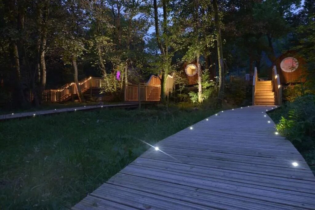
More walks near here
Within a short drive of the start.
Did this walk?
Tell the next person how it went. The best go on this page, with your name.
For further reading, before you go.
- Safety information for walking the Mountain Path, the Nevis Landscape Partnershipnevislandscape.co.uk↗
- Ben Nevis and its two routes, VisitScotlandvisitscotland.com↗
- Exploring Ben and Glen Nevis, the John Muir Trustjohnmuirtrust.org↗
- The West Highlands mountain forecast, the Mountain Weather Information Servicemwis.org.uk↗
Maps from OpenFreeMap © OpenMapTiles, data © OpenStreetMap contributors; heights from Mapzen's terrain tiles.