
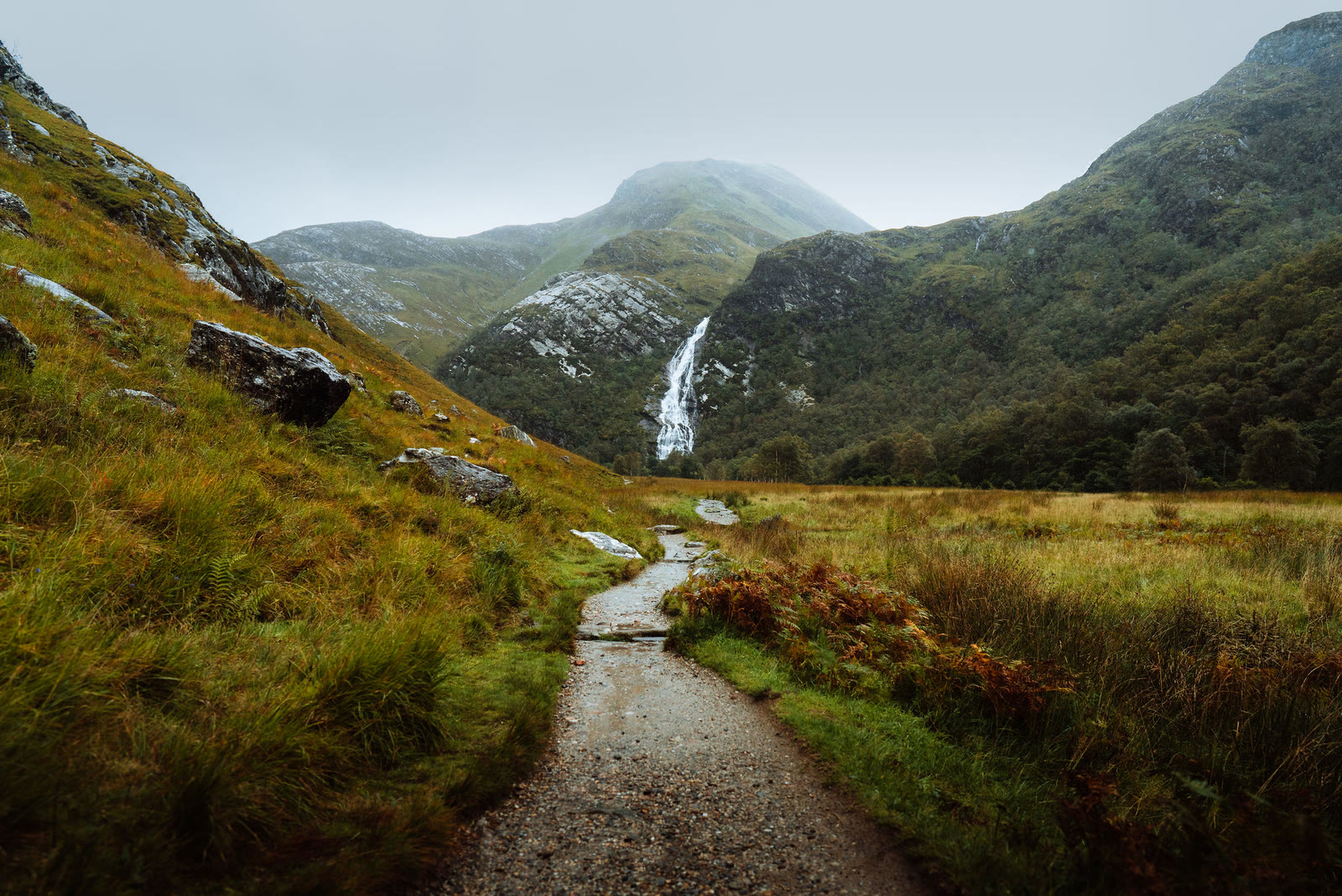
Steall Falls – The Nevis Gorge Path and Lunch in Town
About 3 miles on foot.
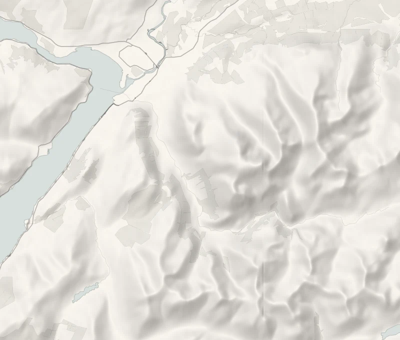
Steall Falls is a short walk from the head of Glen Nevis.
A rocky path climbs through the Nevis Gorge and comes out onto a flat green meadow, with a waterfall of more than 100 metres pouring down the far side. It takes about two hours there and back on foot, with a good coffee and lunch waiting on Fort William's High Street afterwards. It suits sure-footed walkers, older children and dogs.
- Time
- About 40 minutes each way to the meadow; allow two hours with time at the falls.
- The path
- A rough, rocky path along the side of a steep gorge, slippery when wet, with sheer drops. Beyond the gorge the path across the meadow is easy.
- Where to start
- The small car park where the Glen Nevis road ends, which fills by mid-morning. The council has approved pay and display here: read the signs and pay at the machine if there is one. Never park in the passing places.
- Set off
- Early in the day, before the small car park fills.
- When to go
- The path is open ground all year, best in daylight and in dry weather; the Wildcat opens every day, 8am to 4pm.
- Dogs
- Keep a dog close through the gorge, where the drops are sheer.
- Children
- A sign at the start of the path warns of danger of death, and the drops into the gorge are sheer. The wire bridge is three steel cables, one for the feet and two for the hands, and isn't for young children or anyone nervous of heights. It is steadiest crossed one at a time, and never when the river is high. The falls are seen well from the meadow without crossing. With young children, the Lower Falls further down the glen are the better morning.
- Before you set out
- The single-track road up the glen isn't gritted, and the gorge path is slippery when wet and icy after frost. The wire bridge in the meadow is optional: the falls are seen well without crossing.
The walk
The small car park is at the end of the Glen Nevis road, the last stretch single track. It fills by mid-morning, so go early, and never park in a passing place. The council has approved pay and display here: read the signs and pay at the machine if there is one.
A sign at the start of the path warns of danger of death, and it means it: the path climbs through the Nevis Gorge on rock and tree roots, slippery when wet, with sheer drops beside it. Wear boots with a good grip, and keep children and dogs close. After about 40 minutes it opens onto a flat meadow, with Steall Falls dropping more than 100 metres down the far side.
The wire bridge over the river is optional, and the falls are seen well without crossing it. Come back the same way. There are no toilets at the road end; the nearest are at the Lower Falls car park on the way down.
If it rains
In light rain the gorge path is still fine with care, but it's slippery and the river runs high: go slowly and don't cross the wire bridge. In heavy rain, give the morning to the Lower Falls instead, a short path from its car park, and have a long lunch in town.
Worth a detour
- The Lower Falls
The Lower Falls car park is right beside the road on the way back down Glen Nevis, with public toilets. A short path leads to the falls, where the River Nevis pours over rock ledges under the trees. Stopping adds about a minute of driving, and a quarter of an hour there is plenty.
Afterwards
18 min by car
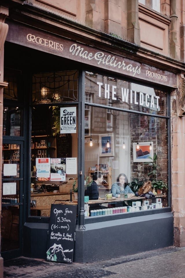
The Wildcat
Lunch
Then it's 18 minutes' drive down the glen into Fort William for lunch at the Wildcat, a small café at 21 High Street where everything is vegan, open every day from 8am to 4pm. It does speciality coffee, loose-leaf tea and home cooking, and you don't need to book. Park at Viewforth car park: the first 30 minutes are free and up to 3 hours is £3.
Before you go
Book accommodation nearby
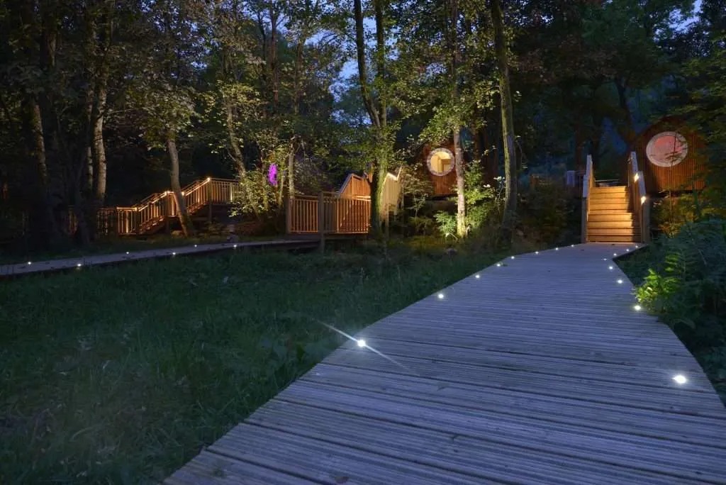
If you are staying over: here are ours nearest where the day starts and ends.
The nearest of ours is Woodlands Glencoe, 10 miles away. Sleeps 2.
Where to eat
The Wildcat, a café in Fort William.
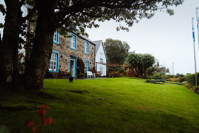
Lime Tree Hotel, restaurant with an art gallery.
Photograph by TheWildcatFortWilliam