
Beinn Fhionnlaidh – The Long West Ridge from Glen Creran
9 miles · 5½ to 7 hours · a hill · there and back
free parking
Beinn Fhionnlaidh is a rocky Munro of 959 metres between Glen Creran and Glen Etive, north-east of Appin, and not the hill of the same name in Glen Affric.
Most guides climb it from Glen Creran: past Glenure to the corner of the forest, then up the long west ridge by Lochan Cairn Deirg to the summit, and back the same way. By our map it is about 14.5 km there and back with about 980 metres of climb, and it takes about 5½ to 7 hours. The ridge is broad and boggy and hard to follow in mist, with crags close to the path near the top. It is a day for experienced hillwalkers who can find their way with a map and compass.
Where it starts
Forestry and Land Scotland's car park at the end of the public road up Glen Creran, off the A828 at Creagan: no charge, nearest postcode PA38 4BJ.
Is it for me?
Tap who is coming, or the day you have, for the answer on this walk.
Before you go
Getting there
At the roundabout just east of Creagan on the A828, follow the sign for Invercreran. After about 2 miles bear left onto a single-track road, and go on up the glen for about 2½ miles more to the end of the public road, Forestry and Land Scotland says.
On the path
About 5½ to 7 hours there and back, about 14.5 km (9 miles) and 980 metres of climb by our map. From Glen Creran past Glenure and up the long west ridge by Lochan Cairn Deirg to the summit, 959 metres, and back the same way. A private road and forest tracks on the floor of the glen, the last of them rough and boggy. Then a hill path up a long, broad ridge, faint in places and boggy, over rough ground and rock, to a rocky summit with crags close to the path. A long Munro day of about 14.5 km, on a broad, boggy ridge that is hard to follow in mist, with crags near the top: for older children used to big hill days, with an adult who can navigate. The map to carry is OS Landranger 50, Glen Orchy & Loch Etive (1:50,000).
Good to know
All year in daylight, on a clear day with a good forecast. There are no toilets at the car park, Forestry and Land Scotland says: the nearest public toilets are at Port Appin. Under snow it is a winter mountain, and no avalanche forecast covers Beinn Fhionnlaidh. Stags may be stalked at any time of year, busiest in the first three weeks of October, and hinds from 21 October to 15 February, Mountaineering Scotland says.
The walk
The usual way up Beinn Fhionnlaidh starts at the free car park at the end of the public road in Glen Creran, and comes back the same way. By our map it is about 14.5 km (9 miles) there and back, with about 980 metres of climb. Allow about 5½ to 7 hours, more with stops, in poor weather or under snow, and leave plenty of daylight for the way down. The summit is 959 metres up. The first 2 km are a private road and tracks on the floor of the glen. Then a hill path climbs the long west ridge, broad, boggy in places and hard to follow in mist, to a rocky summit with crags close by. No public body publishes this way, a distance or a time for it. This is not the Beinn Fhionnlaidh of Glen Affric, far to the north.
Forestry and Land Scotland's car park is at the end of the public road up Glen Creran, off the A828 between Oban and Ballachulish. At the roundabout just east of Creagan, follow the sign for Invercreran. After about 2 miles bear left onto a single-track road, and go on up the glen for about 2½ miles more. There is no charge to park, and PA38 4BJ is the nearest postcode, Forestry and Land Scotland says. There are no toilets at the car park: the nearest public toilets, shop and café are at Port Appin. Forestry and Land Scotland asks visitors not to camp or sleep in vehicles at its car parks.
Before you set off, check the mountain forecast, and under snow the snow and avalanche conditions too, as Mountaineering Scotland advises. On the hill it is often much colder and windier than in the glen, Forestry and Land Scotland warns. Wear good walking boots and carry warm, waterproof clothing, plenty of food and drink, and a torch in case the day runs long. Carry a map and compass and know how to use them, and do not rely only on a phone or GPS. Leave word with someone of where you are going and when you will be back.
From the car park the private road runs east past Elleric, over a cattle grid and across the River Creran by a bridge, then on to Glenure. At Glenure, turn left on the track north. After about 370 metres by our map, turn right on a rougher track east, which can be boggy, to where it ends at the corner of the forest. That is about 2 km from the car park by our map, and still only about 65 metres up.
From the corner of the forest the hill path climbs east up the long west ridge. One guide calls the ridge not well defined, and the path is faint in places. It climbs steadily over rough, wet ground and outcrops of rock, with knolls and dips higher up. Out on the hill there are no waymarks or signposts, and paths can be hard to follow, Forestry and Land Scotland says. In mist this broad ridge is hard to follow: check your line with map and compass as you go.
The path reaches Lochan Cairn Deirg on the main crest, about 5 km from the car park and about 620 metres up by our map. This is the place to decide. The summit is still about 2.3 km on and 330 metres higher, by our map. If the cloud is coming down, the wind is rising or anyone is tiring, turn for home here: Forestry and Land Scotland asks walkers to turn back if they get tired.
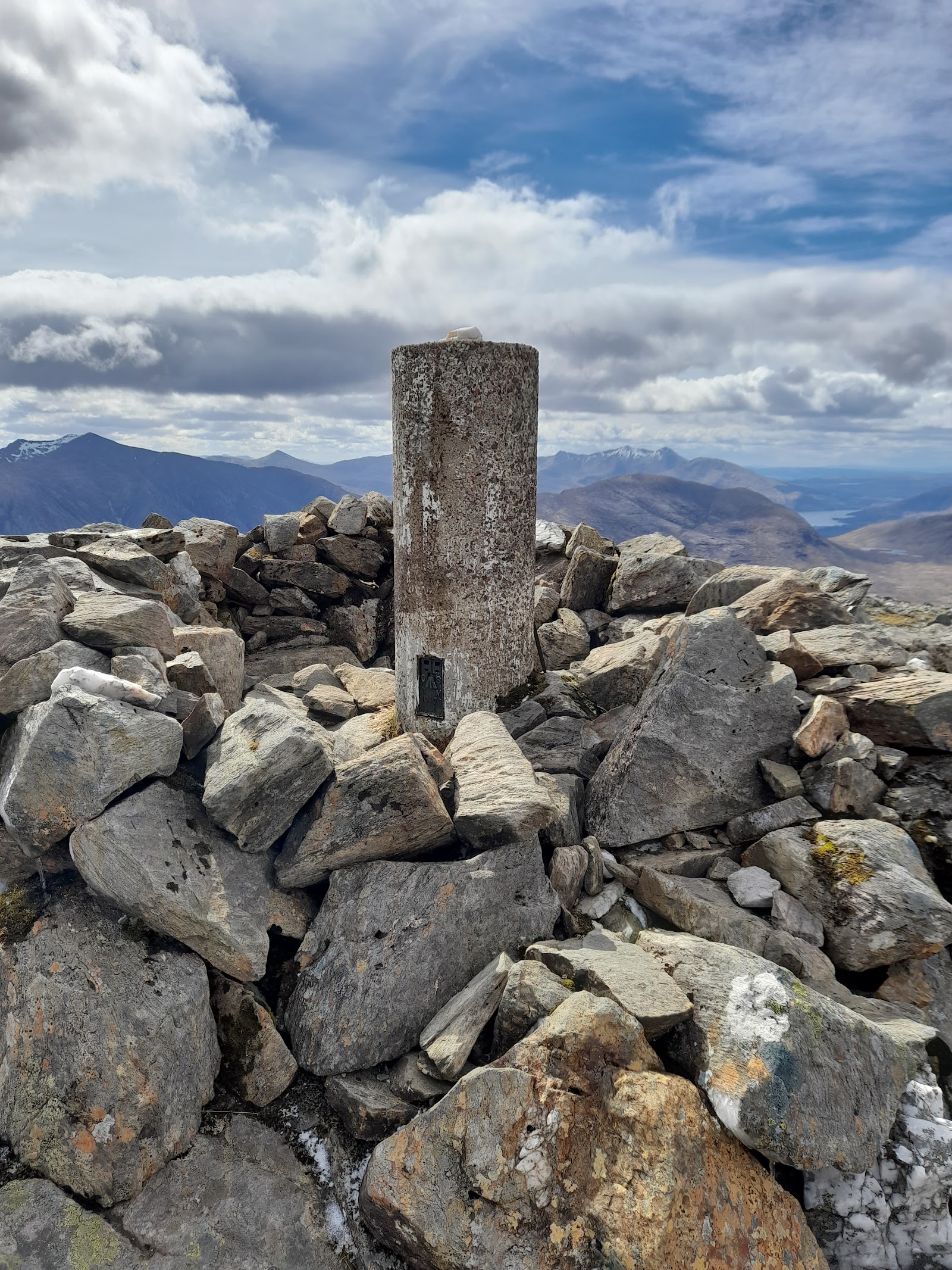
Beyond the lochan the path follows the crest east, not always plain and boggy in places, one guide says. Crags guard the long crest on its north and south sides, Steven Fallon writes. Near the top, by our map, the path passes within about 40 metres of mapped crags, over bare rock: keep to the crest. The summit is a trig point in a shelter cairn, 959 metres up. The crest goes on east to a lower top, which this walk does not visit.
Under snow this is a winter mountain, for walkers with winter skills and the gear to match. In winter you need to know the snow conditions and the avalanche risk too, Mountaineering Scotland says. No avalanche forecast area covers Beinn Fhionnlaidh, which is no sign there is no risk. The Scottish Avalanche Information Service applies what it learns in Glencoe to outlying hills such as the Glen Etive range, and its full forecasts begin on 17 December 2026.
Stags may be stalked at any time of year, busiest in the first three weeks of October, and hinds from 21 October to 15 February, Mountaineering Scotland says. Most stalking takes place on weekdays, and often none on a Sunday. Check Heading for the Scottish Hills before you go, follow signs and reasonable advice from land managers, and if in doubt keep to the well-known way.
The way down is the way you came: west along the crest to Lochan Cairn Deirg, down the ridge to the corner of the forest, and by the tracks and the road back to the car park. In cloud, check your line with map and compass before you leave the summit, as crags fall away on both sides of the crest. Beinn Fhionnlaidh is also climbed from Glen Etive to the east. That way is shorter, but one guide warns of a river crossing that can be a problem in wet weather. Another notes short scrambling pitches on the crest just east of the summit. This walk keeps to Glen Creran.
In an emergency call 999 or 112 and ask for Police and Mountain Rescue, Mountaineering Scotland says. Give your location as exactly as you can, ideally a six-figure grid reference and a named feature. A text to 999 works only from a phone registered first: text the word register to 999 before you go.
If it rains
None on this walk: in rain, low cloud or a high wind, leave the summit for another day. The broad ridge is boggy and hard to follow in mist, crags fall away from the crest near the top, and Forestry and Land Scotland asks walkers to turn back if they get tired.
After the walk
Something to do with the rest of the day, nearest the end of the walk first.
Places to stay near the walk
Our places to stay nearest the start, by road.
An advert · Oban
Uisge Bothy
An off-grid bothy for two on the bank of Loch Nell near Oban, with a rust-red roof, green clay walls and the bed up a ladder.
Sleeps 2 · 28 minutes by road
See Uisge Bothy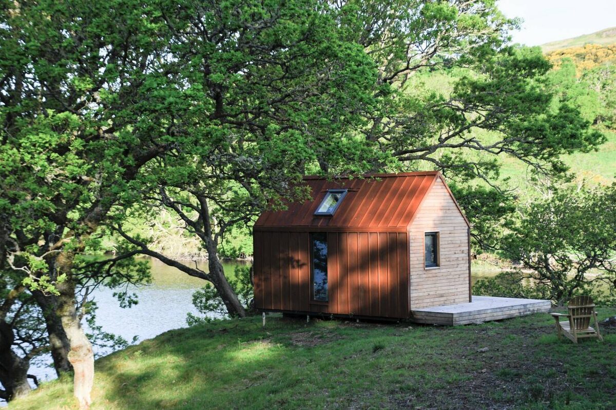
More places to stay near the walk
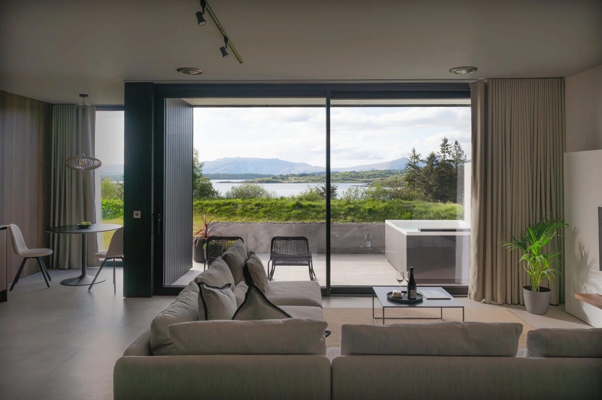 An advert · BarcaldineSlochdSleeps 2 · 13 minutes by road
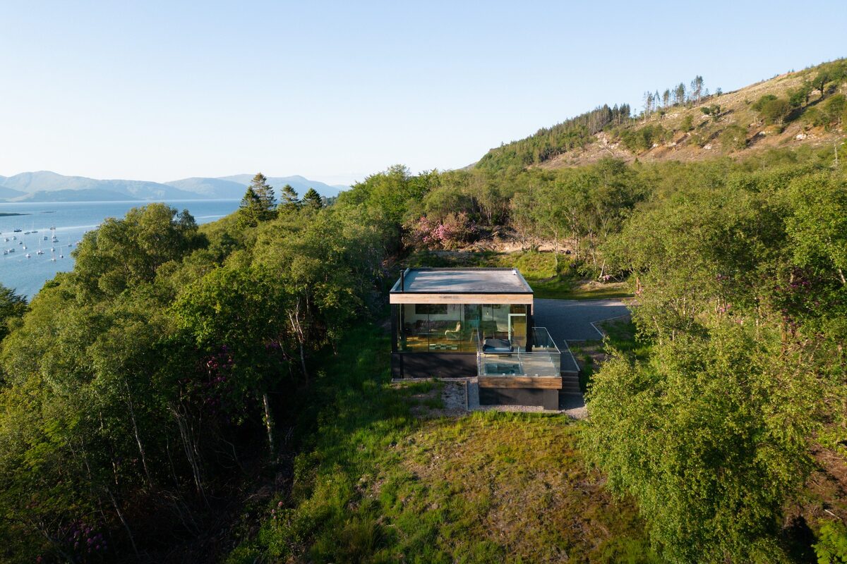 An advert · AppinStormhouse NorthSleeps 2 · 15 minutes by road
 An advert · AppinStormhouse SouthSleeps 2 · 15 minutes by road
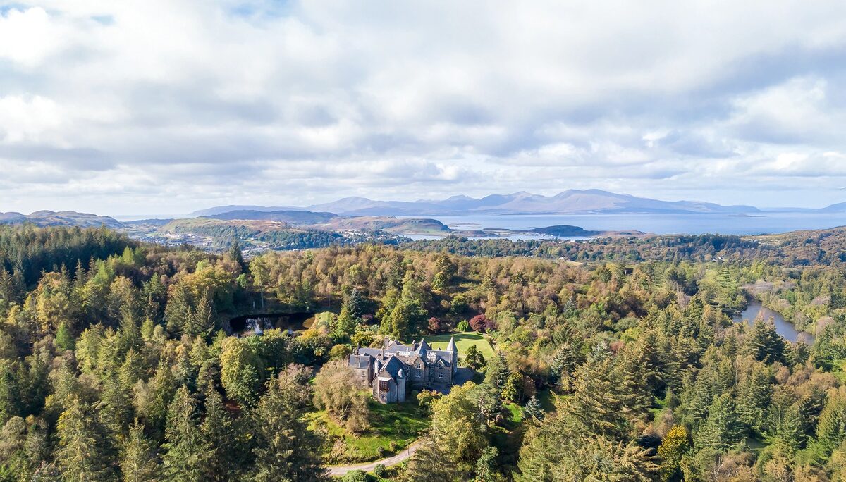 An advert · ObanGlencruitten House26 minutes by road
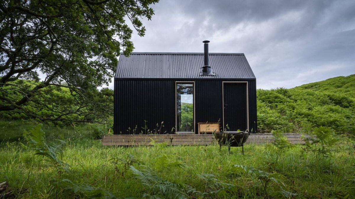 An advert · ObanBeathaSleeps 2 · 28 minutes by road
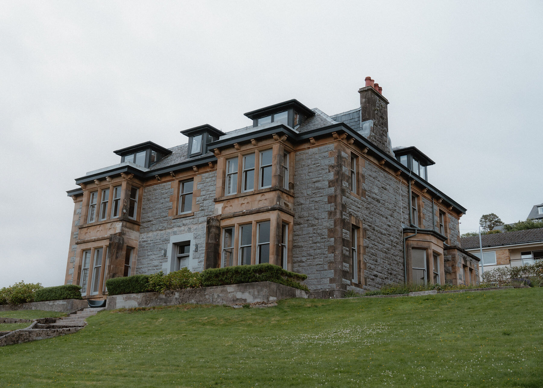 An advert · ObanThe DrurySleeps 22 · 28 minutes by road
More walks near here
Within a short drive of the start.
Did this walk?
Tell the next person how it went. The best go on this page, with your name.
For further reading, before you go.
- Beinn Fhionnlaidh, the Munro page, Hidden Scotland↗
- Glen Creran, visitor information, Forestry and Land Scotlandforestryandland.gov.scot↗
- Glen Creran, local alerts, Forestry and Land Scotlandforestryandland.gov.scot↗
- Mountain access and safe hillwalking, Forestry and Land Scotlandforestryandland.gov.scot↗
- Deer stalking, Mountaineering Scotlandmountaineering.scot↗
- Calling for help, Mountaineering Scotlandmountaineering.scot↗
- West Highlands forecast, Mountain Weather Information Servicemwis.org.uk↗
Photograph by John Irvine via Google
Maps from OpenFreeMap © OpenMapTiles, data © OpenStreetMap contributors; heights from Mapzen's terrain tiles.