
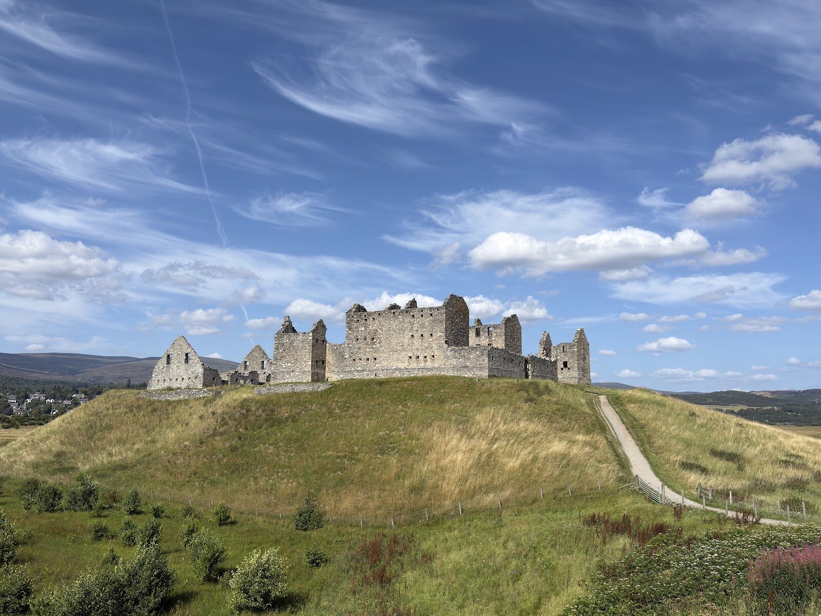
Ruthven Barracks – A Short Walk from Kingussie
About 2½ miles on foot.
Ruthven Barracks stands on its green mound across the Spey from Kingussie, the shell of a government fort from the Jacobite years, close enough to walk to from the town.
Where it starts
Start at the Ardvonie car park in Kingussie, off the High Street.
Is it for me?
Tap who is coming, or the day you have, for the answer on this walk.
Before you go
On the path
Not step-free: the barracks stand on top of a steep mound.
Good to know
Any day, in daylight. Keep dogs on a lead: there may be Highland cattle on the grass round the mound. Public toilets by the Ardvonie car park, where the walk starts.
The walk
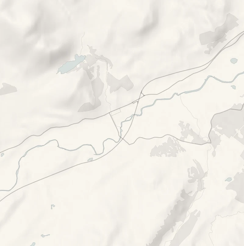
The walk to Ruthven Barracks follows the Speyside Way out of Kingussie and comes back the same way: about 4 km (2½ miles) in all from the middle of the town. Allow about an hour and a half, with time at the barracks. It is flat: pavement down Ruthven Road and a gravel path to the edge of town, then the last kilometre on the B970, over the single-track Ruthven Bridge. OpenStreetMap shows no pavement on that stretch, so keep to the edge of the road, in single file. A short, steep climb up the mound ends it. The route's own leaflet, from the Cairngorms National Park, has the map.
At the station, the Highland Railway's engines once took on water from the Gynack Burn, having come over Drumochter, the highest summit on any line in Britain.
Beyond the railway the road passes the Dell, home of Kingussie Camanachd, where the club may be out training or playing. Shinty's ruling body was founded in Kingussie's Victoria Hall in 1893, and Kingussie took its cup the first year it was played for, in 1896.
The barracks, said "Riven", rise from a mound above an old ford of the Spey, where Kingussie's first burgh stood. It had carried a castle since at least 1229, later the Wolf of Badenoch's. The government built them from 1719, after the rising of 1715. In 1745 twelve soldiers under Sergeant Molloy held them against about 300 Jacobites, who came back with cannon the next February and took them. After Culloden as many as 3,000 Jacobites gathered here, and when word came to disperse they burned the barracks. Look for the sockets of the floor beams, the old castle well and, outside the west wall, the 1734 stable block for the dragoons' horses.
The barracks are free to walk into at any time of year. Historic Environment Scotland, which looks after them, now and then shuts them for repairs or in bad weather.
The Railway Café, beside the line near the station, does hot rolls, soup, sandwiches and cakes, from 8am to 4.30pm Monday to Saturday and 9am to 4pm on Sundays. The public toilets at the start are open all year.
After the walk
Something to do with the rest of the day, nearest the end of the walk first.
With the rest of the day
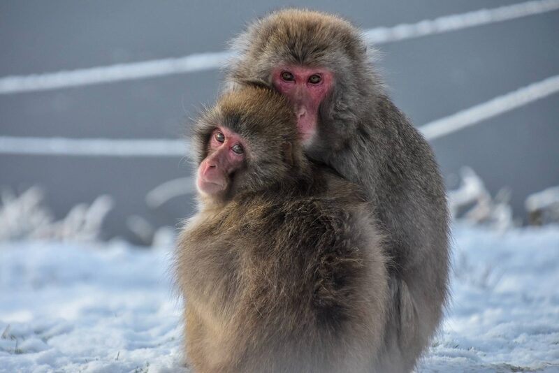 7 min by roadThings to doThe Highland Wildlife ParkThe Royal Zoological Society of Scotland's park at Kincraig, with Scotland's only polar bears, snow leopards, wolves and a drive-through reserve.
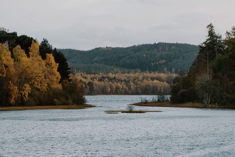 14 min by roadThings to doUath LochansSmall lochans in the pinewoods of Glen Feshie near Feshiebridge, with a one-hour trail round the water and a longer climb to a view over the Spey valley.
Places to stay near the walk
Our places to stay nearest the start, by road.
An advert
The Hayloft
Killiehuntly Farmhouse's own room in the old stone steadings near Kingussie, for two and the dog, with breakfast and supper at the farmhouse table.
Sleeps 2 · 9 minutes by road
See The Hayloft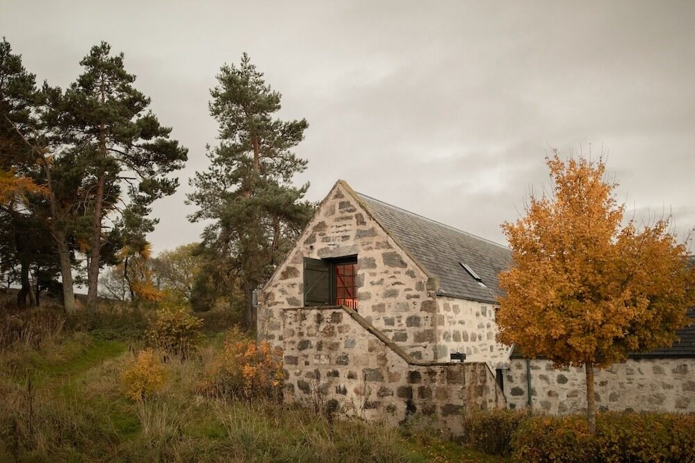
More places to stay near the walk
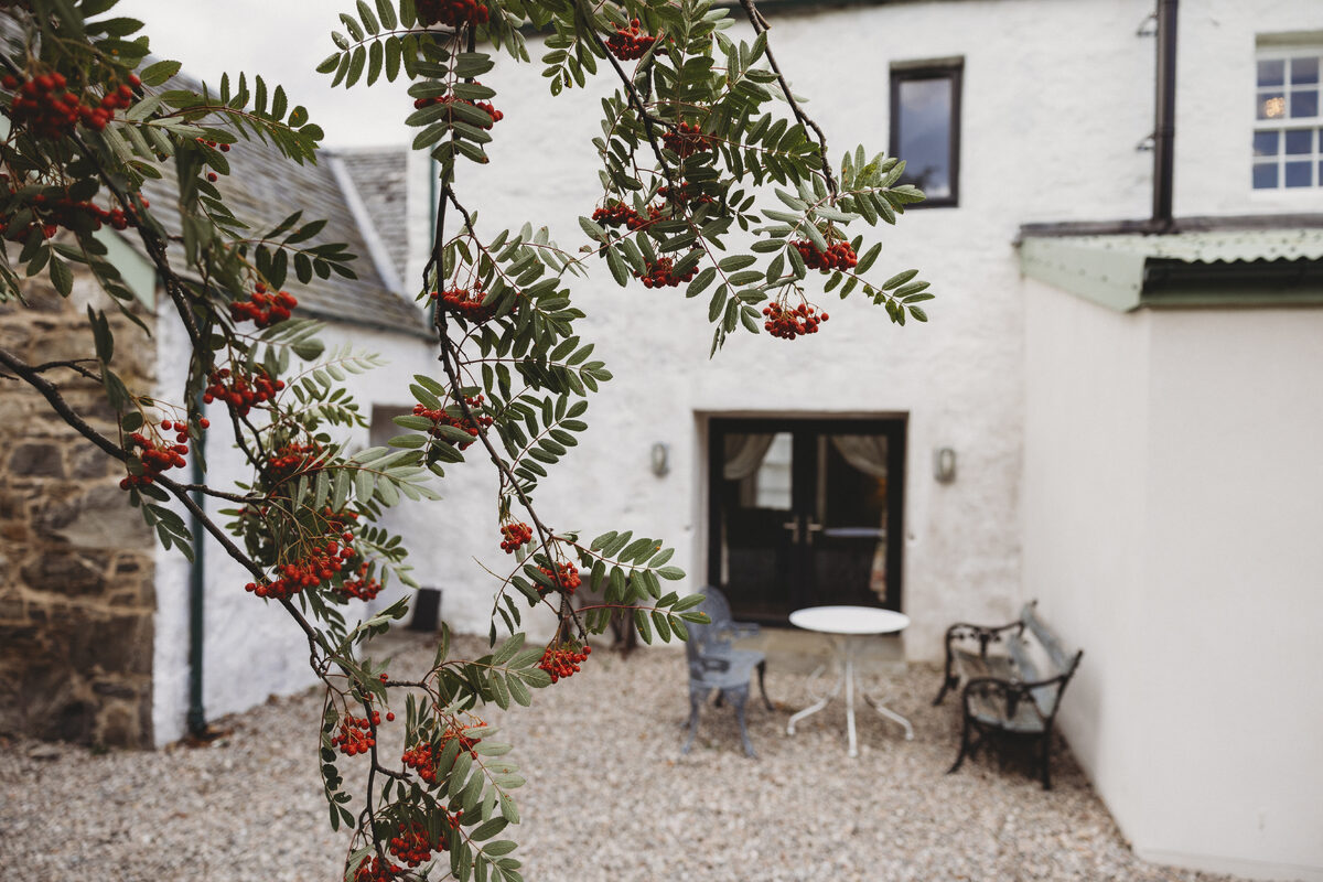 An advert · KingussieCairngorms Church Hill HouseSleeps 4 · A minute by road
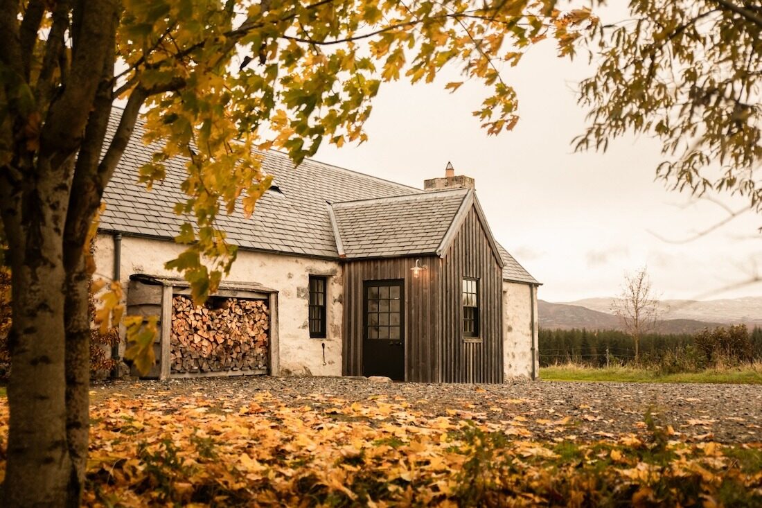 An advertGeordie’s CottageSleeps 5 · 9 minutes by road
 An advertKilliehuntly BothySleeps 4 · 9 minutes by road
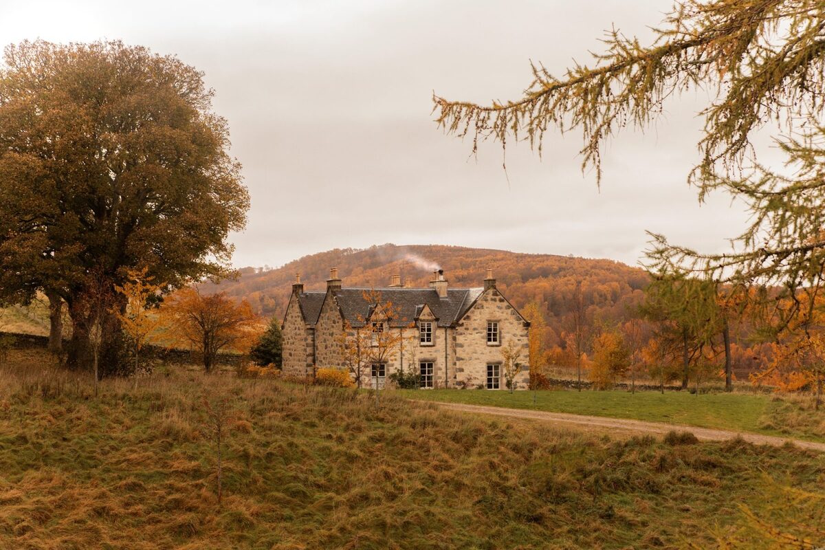 An advertKilliehuntly FarmhouseSleeps 10 · 9 minutes by road
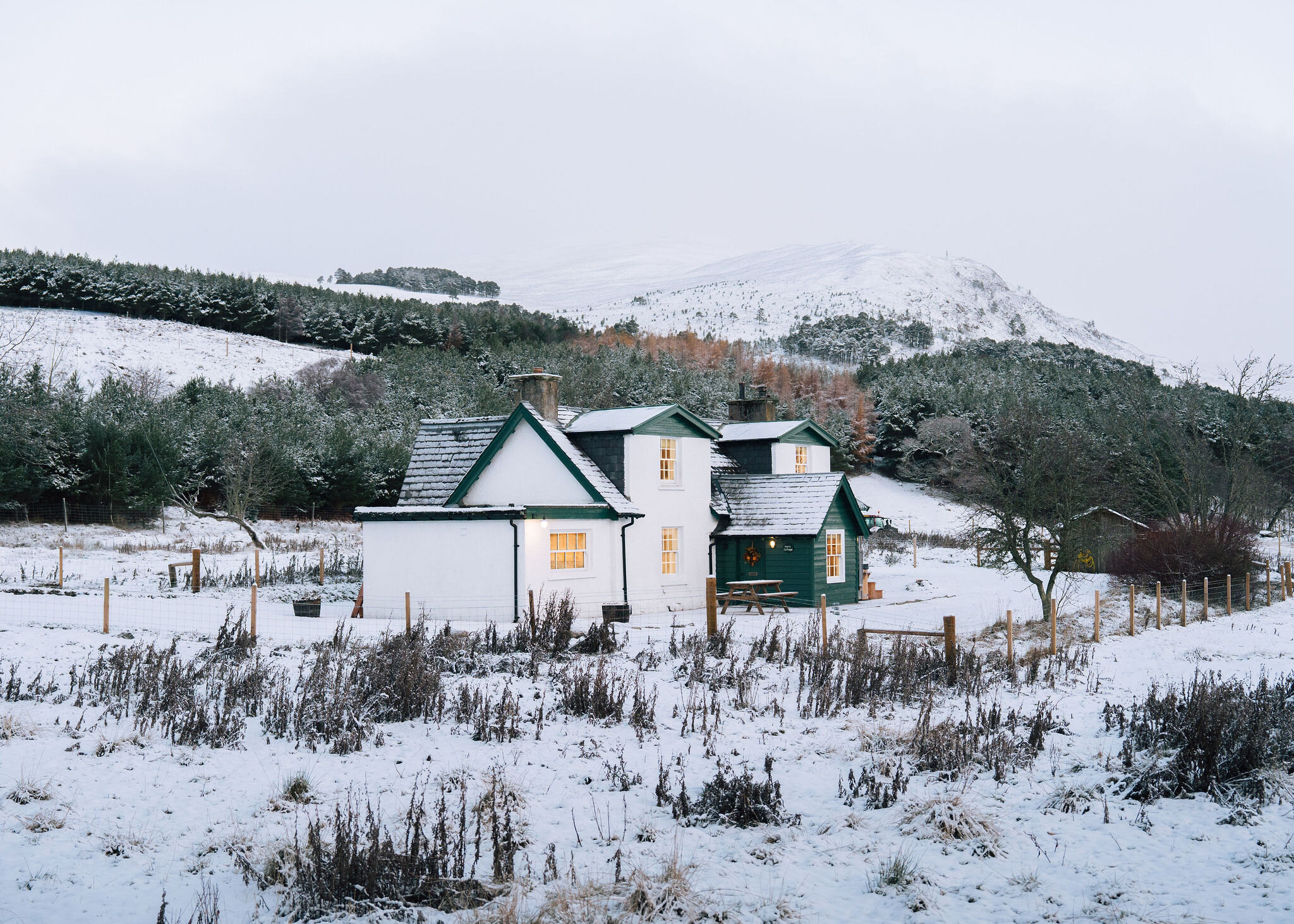 An advert · KincraigPark CottageSleeps 6 · 14 minutes by road
More walks near here
Within a short drive of the start.
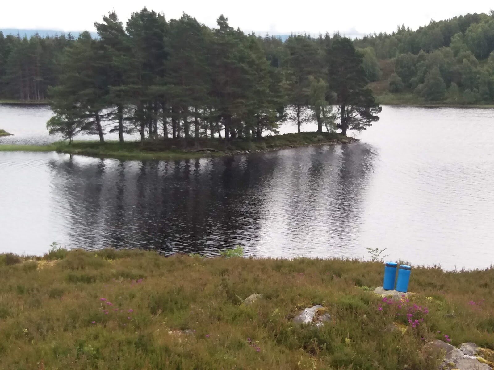 0 min by roadA walkLoch Gynack2¾ miles, about two hours
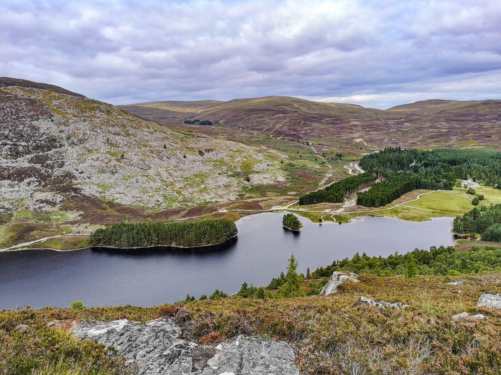 0 min by roadA hillCreag Bheag2¾ miles, about two and a half hours
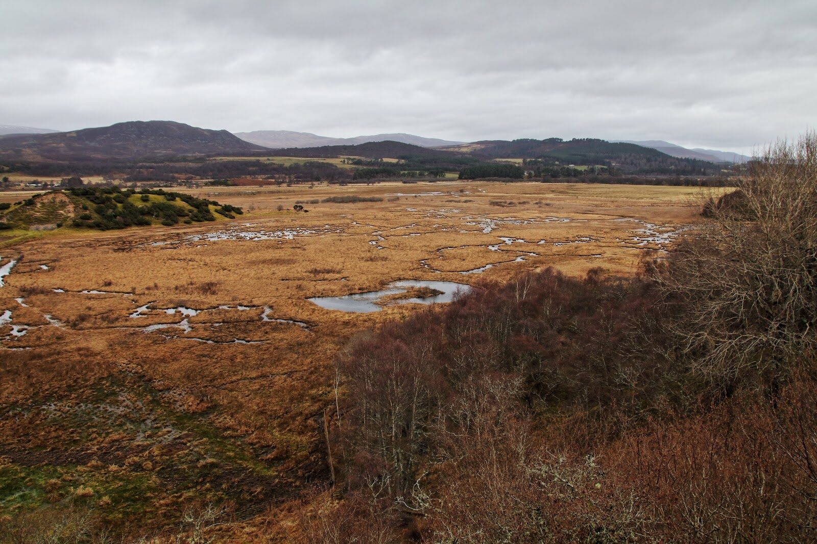 4 min by roadA walkInsh Marshes2¾ miles, about two hours
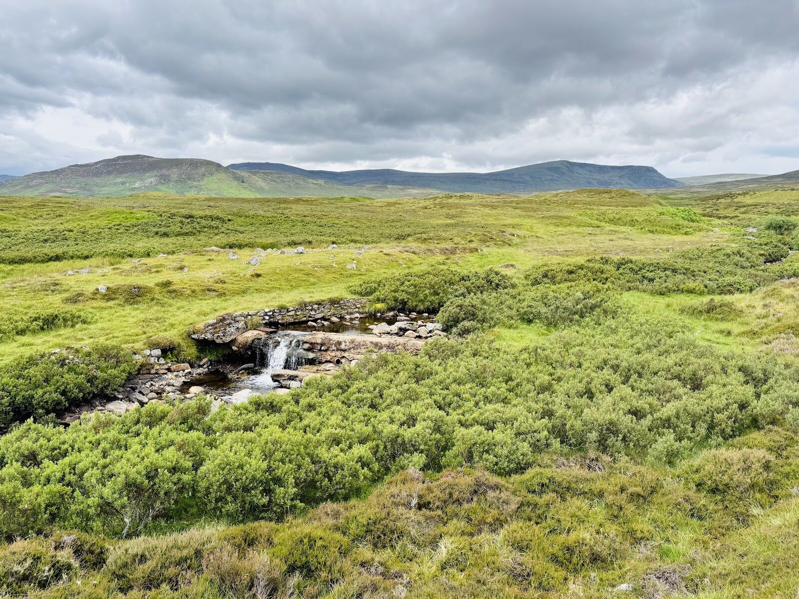 7 min by roadA long dayThe Wildcat Trail6 miles, about four hours
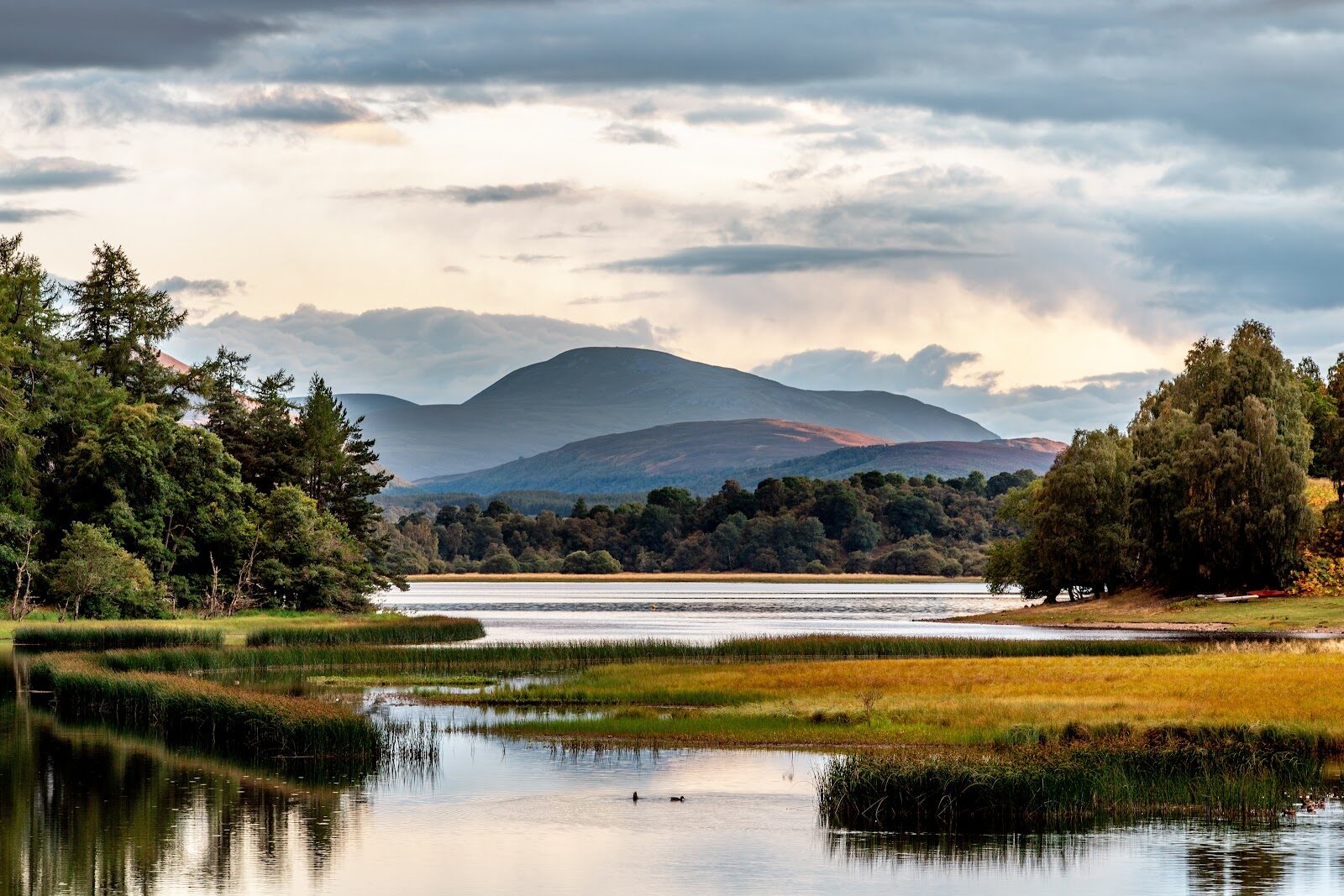 10 min by roadA walkLoch Insh1½ miles, about an hour
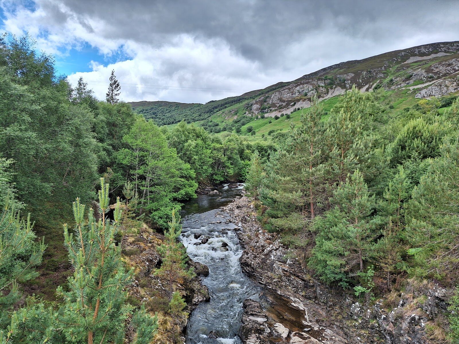 13 min by roadA walkGlen TruimAbout two and a half hours
Did this walk?
Tell the next person how it went. The best go on this page, with your name.
For further reading, before you go.
- Kingussie Paths leaflet, Cairngorms National Parkcairngorms.co.uk↗
- Kingussie to Kincraig on the Speyside Way, Cairngorms National Parkcairngorms.co.uk↗
- Ruthven Barracks, Kingussiekingussie.co.uk↗
- Ruthven Barracks, Live Breathe Scotlandlivebreathescotland.com↗
- Insh Marshes, the RSPBrspb.org.uk↗
- The Railway Café, Kingussierailwaycafekingussie.co.uk↗
Photograph by Scott McCall via Google
Maps from OpenFreeMap © OpenMapTiles, data © OpenStreetMap contributors; heights from Mapzen's terrain tiles.