
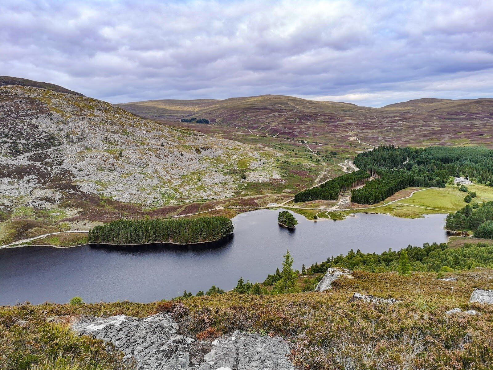
Creag Bheag – The Rocky Hill above Kingussie
About 2.8 miles on foot.
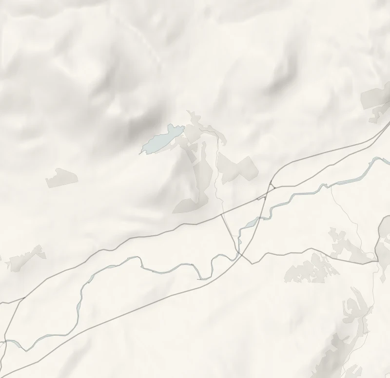
Creag Bheag is the rocky little hill that stands over Kingussie, 487 metres high.
A steep path climbs out of the town through birch and pine to a heathery crest with stone shelters. From there the whole of Badenoch opens out below: the town, the Spey and its marshes, Ruthven Barracks on its mound and the Cairngorms beyond. It's a short, stiff climb for walkers who are steady on rough ground.
- Time
- About two and a half hours: the National Park's Creag Bheag trail, a 4.5 km circuit from Kingussie to the top, 487 m. A small hill, graded strenuous.
- The path
- Long sections of steep climbing with some steps; paths narrow, rough and rocky in places.
- Where to start
- The Ardvonie car park in the middle of Kingussie, off the High Street beside the public toilets; free.
- Set off
- From November to January, set off by 12.30pm to be down in daylight.
- When to go
- All year in daylight and clear weather. From November to January set off by 12.30pm. Not in low cloud, snow or ice.
- Dogs
- Under close control.
- Children
- A steep, rocky climb for older children who walk well; no pushchairs.
- Toilets
- Public toilets beside the Ardvonie car park, with a charge; none on the hill.
- Before you set out
- Steep and rocky, and the crest is open to the wind: not for low cloud, snow or ice.
The walk
The walk starts from the Ardvonie car park in the middle of Kingussie, just off the High Street beside the public toilets. Parking is free, and the toilets take a small charge. The Cairngorms National Park gives its Creag Bheag trail as a 4.5 km circuit and allows two and a half hours for it. It grades the walk strenuous, with long steep climbs, some steps, and paths that are narrow, rough and rocky in places.
The way up is through birch and pine, then out onto open heather and rock, and the top is 487 metres up, a bare crest with stone shelters to sit in out of the wind. Kingussie lies below, with the Spey and its marshes beyond, Ruthven Barracks on its green mound and the Cairngorms along the skyline. Loch Gynack sits under the hill on the far side. The crest is open to the weather, so take a windproof layer and boots with a good grip, and leave it for another day in low cloud, snow or ice.
From November to January, set off by 12.30pm to be down in daylight. Keep dogs under close control.
If it rains
The crest is bare and the rock is slippery when wet, so this is not a walk for rain or low cloud. The park's Golf Course Circular from the same car park is the low-level choice, 4.5 km and about two hours.
Before you go
Book accommodation nearby
If you are staying over: here are ours nearest where the day starts and ends.
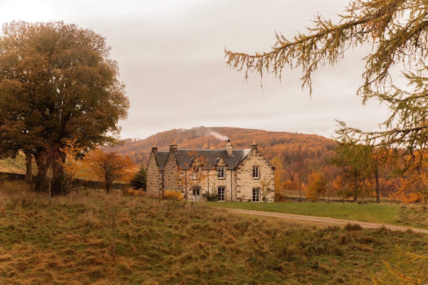
For further reading, before you go.
Photograph by Iain Johnson via Google