
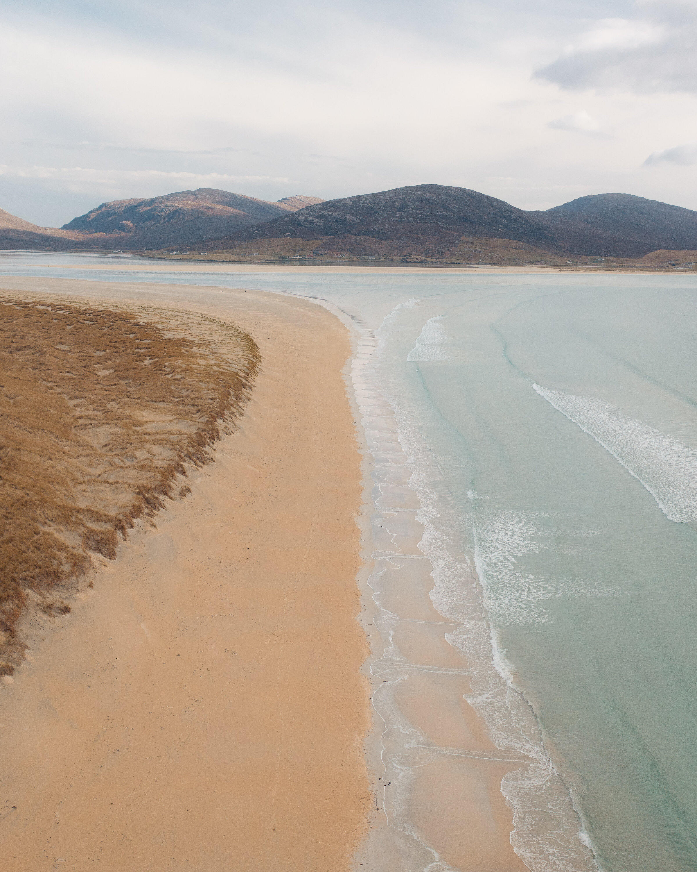
Outer Hebrides. Outer Hebrides guide
White sand, standing stones, Harris Tweed and a plane that lands on the beach.
The four parts of Outer Hebrides
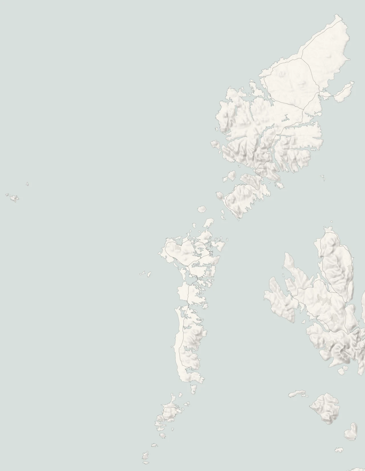
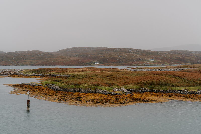
Out on the western edge of Scotland, the Outer Hebrides run for about 130 miles from the Butt of Lewis down to Barra Head. Islanders call the chain the Long Island, and from the air it looks like one, a ragged line of land breaking up into lochs, sands and skerries. Lewis and Harris make up the big island in the north. To the south, Berneray, North Uist, Benbecula, South Uist and Eriskay are strung together by causeways, with Barra and Vatersay at the foot. Ferries from Ullapool, Skye, Mallaig and Oban bring most visitors over, and the crossing is part of the pleasure.
Stornoway and Lewis
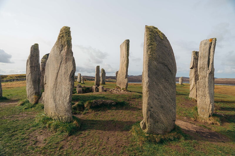
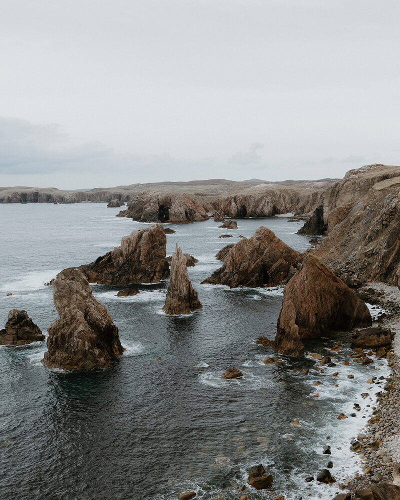
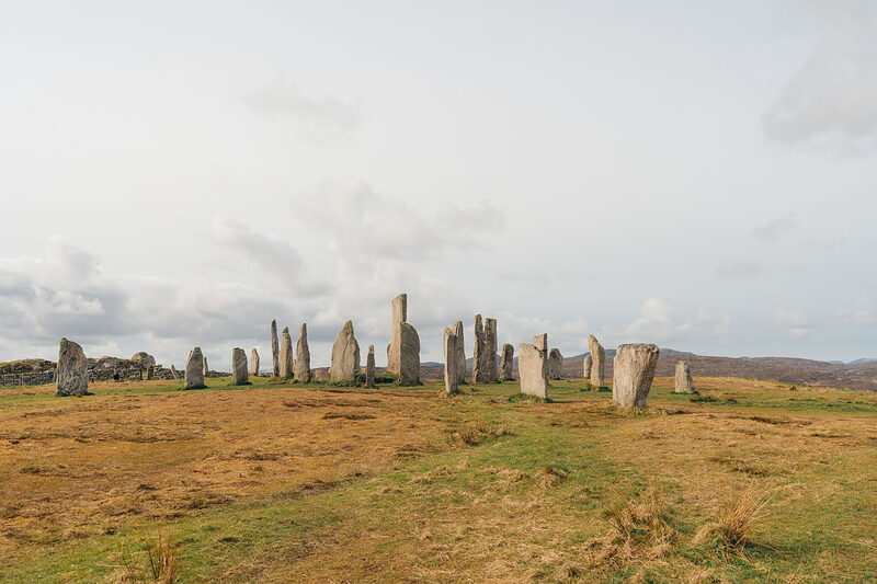
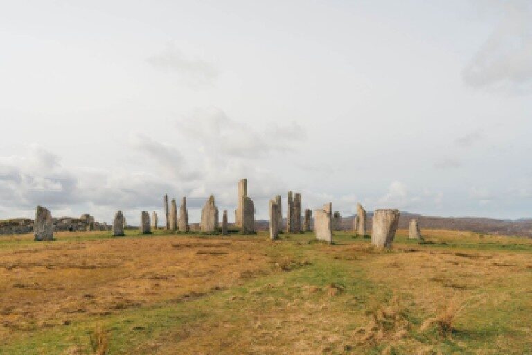
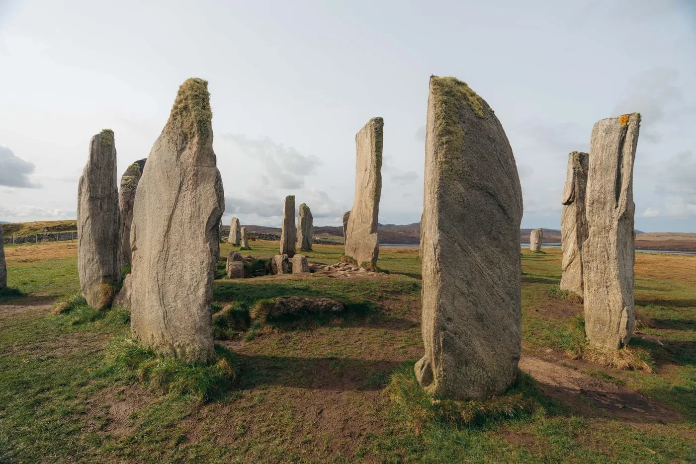
Stornoway is the only town in the islands, with its harbour, the woods of Lews Castle and the ferry from Ullapool. Out west, the Callanish Stones stand on their ridge above Loch Roag and Dun Carloway broch is still nine metres tall. The road runs on to the wide sands at Uig and the sea stacks off Mangersta.
Tarbert and Harris
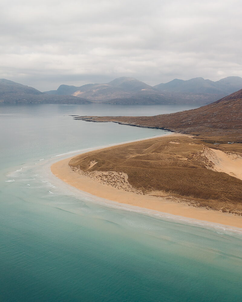
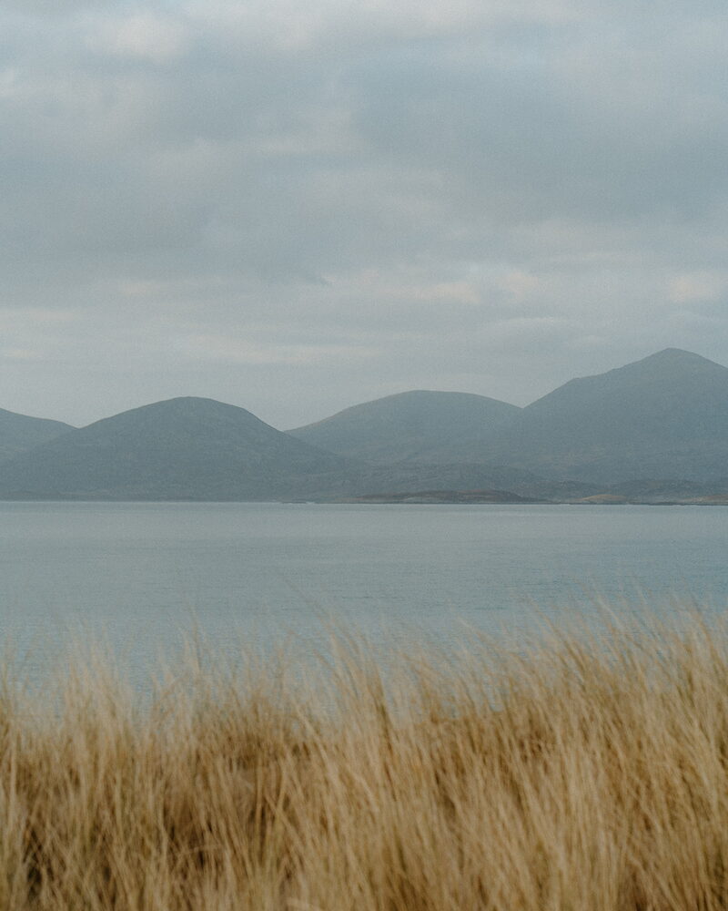
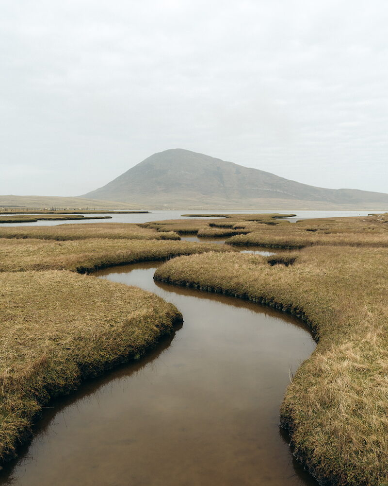
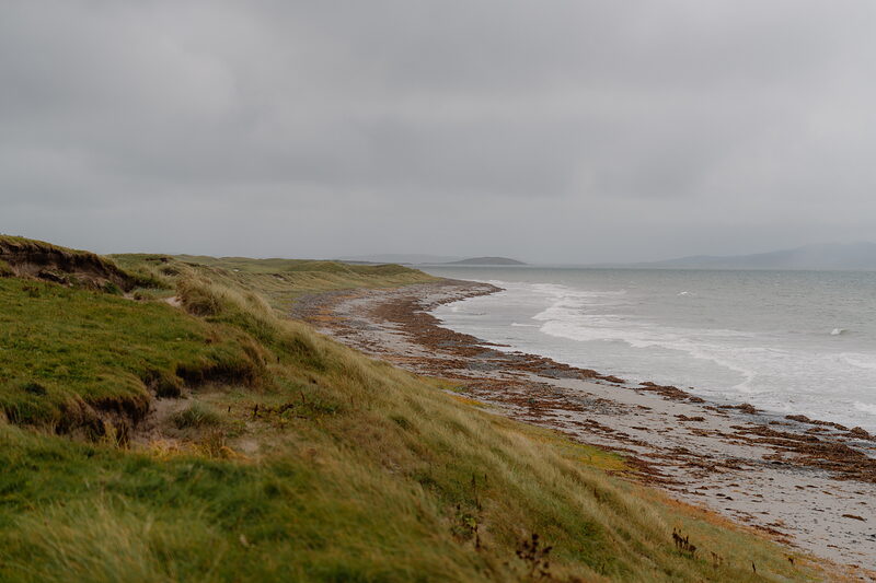
Harris is all mountains and white sand. The west coast runs from Luskentyre past Seilebost and Nisabost to the salt flats at Northton, while the Golden Road winds along the rocky east shore to St Clement's Church at Rodel. Tarbert has the ferry from Skye, the distillery and Harris Tweed by the length.
The Uists and Benbecula
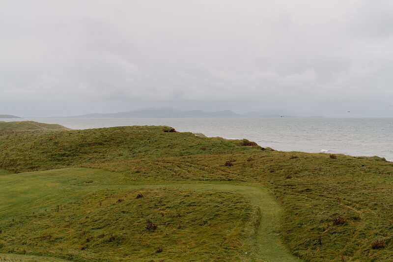
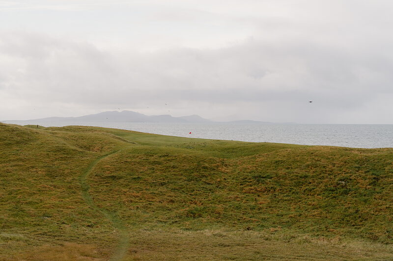
South of the Sound of Harris the land flattens into lochs, machair and long Atlantic beaches, with causeways joining Berneray, North Uist, Benbecula, South Uist and Eriskay. Old Tom Morris laid out a links in the dunes at Askernish in 1891, and it was found again and reopened in 2008.
Barra and Vatersay
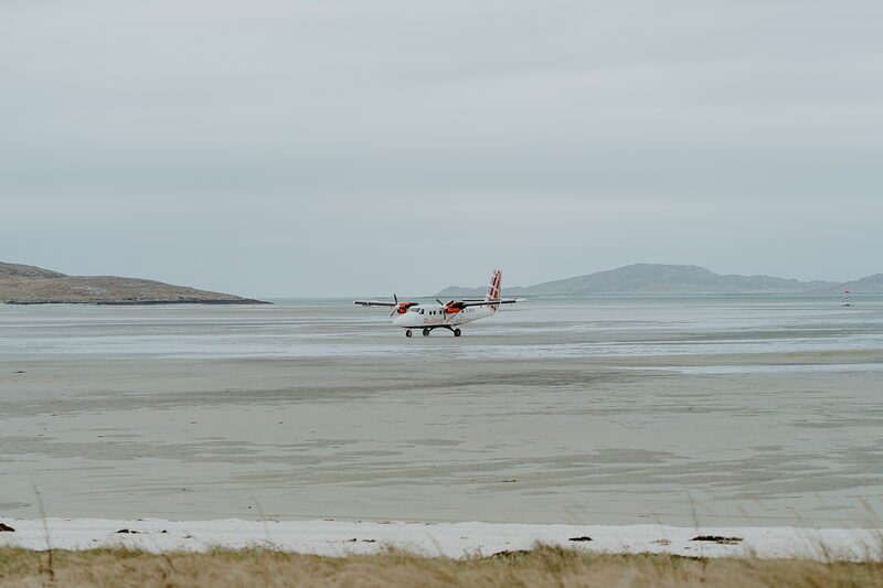
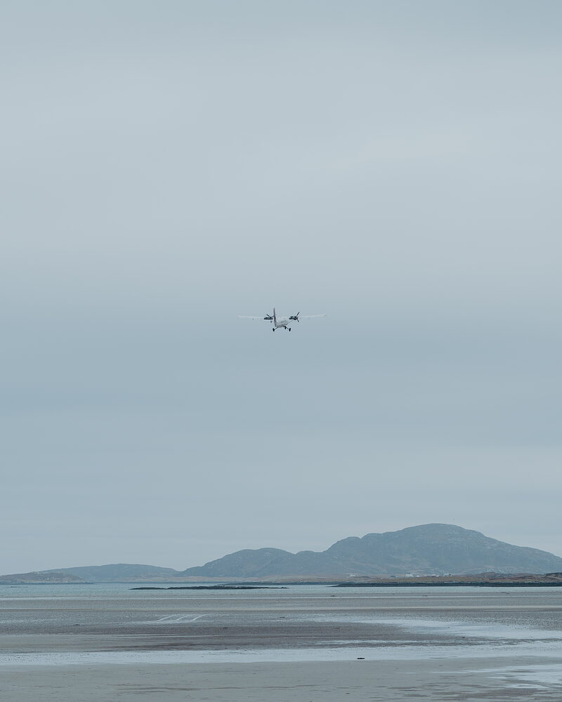
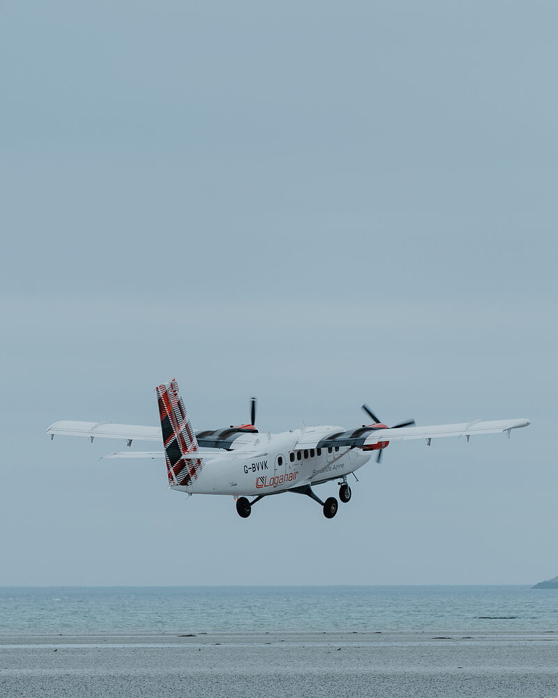
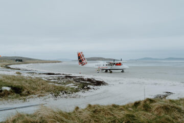
Barra is small enough to drive round in an hour, with Kisimul Castle on its rock in the bay at Castlebay and Heaval rising behind the town. The plane from Glasgow lands on the sand at Traigh Mhor, and a causeway crosses to the white beaches of Vatersay.
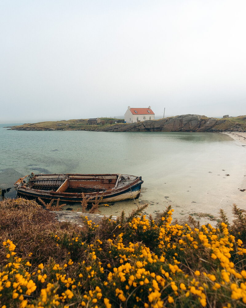
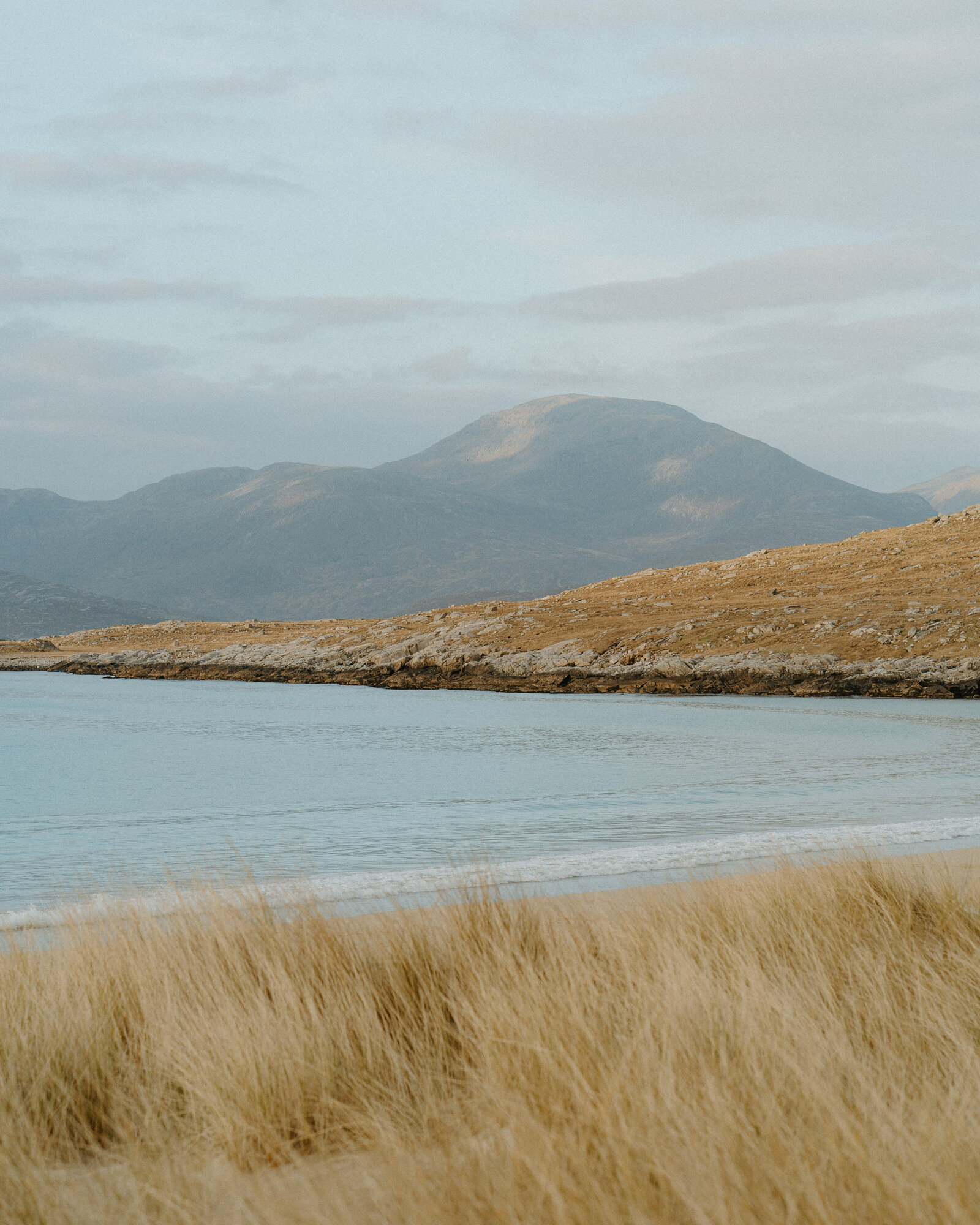
“While physically they’re joined together, culturally and visually, these are considered two very separate islands!”
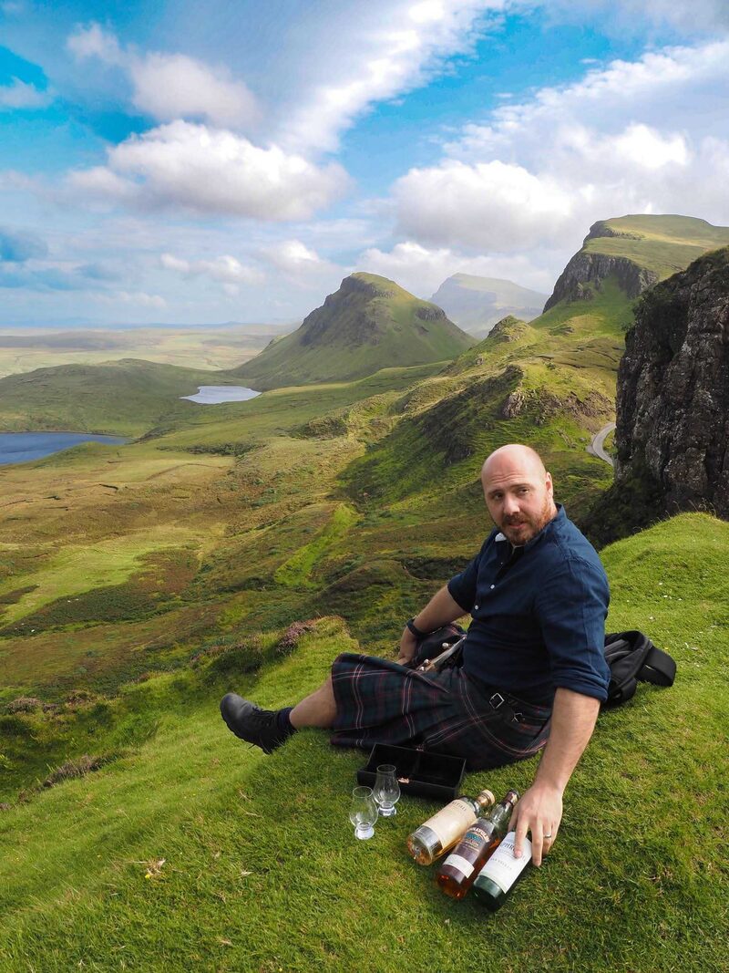
Graeme Johncock
Writer and tour guide, on a trip through Harris and Lewis
Best known for.
The Outer Hebrides are known above all for their beaches, long curves of white shell sand and clear water on the Atlantic coasts of Harris, the Uists, Barra and Vatersay. They are known too for Harris Tweed, made from wool dyed and spun in the islands and finished on the loom in the weavers' own homes, and protected by its own Act of Parliament since 1993. Then there are the stones of Callanish and the old brochs, the Gaelic language, spoken by nearly half the islanders, and wildlife from golden eagles and otters to the great seabird colonies of St Kilda.
More about Outer Hebrides
The islands change as you travel down them. Lewis is wide and open, a land of peat moor and crofting townships, with Stornoway as its one real town and the standing stones of Callanish out to the west. Harris rises into bare mountains in the north and spreads into white beaches and turquoise water along its west coast. The Uists are low and green, laced with freshwater lochs and edged on the Atlantic side by machair, the flowering grassland that grows on shell sand. Barra is small and friendly, with a castle in its bay and planes landing on its beach.
Gaelic is part of everyday life here. Road signs give the Gaelic names first, and you will hear the language in shops, on the radio and in church. Sunday is kept quietly in many places, especially on Lewis and Harris, and plenty of shops and cafés close, so plan ahead for food and fuel. The weather moves fast, with wind and rain one hour and bright, clear light the next. Come in late spring and summer for long evenings, machair flowers and seabirds, or in winter for wild seas and dark skies. Either way, give yourself more days than you think you need.
What would you like to look at?
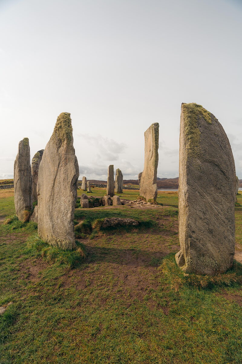 See and doStanding stones, brochs, blackhouses and a castle in the bay
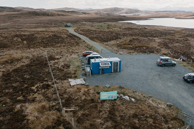 Eat, drink and shopSeafood, a pizza kiosk and island cafés
 History and storiesStanding stones, Norse farms and clan castles
 ItinerariesDays we have driven, stop by stop
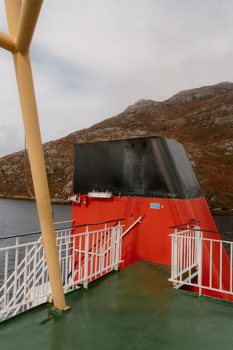 Getting hereThe ferries, the flights and the causeways
 What is on in Outer HebridesSomething new from the islands every day
What is on in Outer Hebrides
Friday the 16th of October.
Sunrise 08:04, sunset 18:22.
Coming up in Outer Hebrides
- Oct16Cry of the CurlewOn today
- Oct16Clann-Nighean an Sgadain / Following the FishOn today
- Oct16Following the Fish - StornowayOn today
- Oct16Untutored Life DrawingOn today
- Oct16Where the Sea Meets the Road - BenbeculaOn today
The news in Outer Hebrides
- Kisimul Castle, on its rock in Castlebay, is taking visitors again after being shut since 2022.
- Hold up a phone at two ancient sites on Barra and a reconstruction appears over the landscape.
- South Uist has a new 200-seat hall for Gaelic music and dance, at Cnoc Soilleir in Daliburgh.
- The new visitor centre at the Calanais Standing Stones on Lewis is open, ahead of its official opening later in the year.
- New in our guide: An t-Ùrlar as Àirde.
Things you might not know.
Lewis and Harris are not two islands but one, the largest in the Outer Hebrides, with a range of mountains across the middle.
From 7 interesting things you maybe didn’t know about Lewis and Harris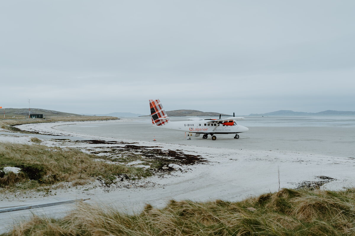
Barra's is the only airport in the world with scheduled flights landing on a beach, and when fog hides the sand the plane cannot come in.
From Barra, Vatersay and a Climb Through CulrossCille Bharra, at the north end of Barra, has been a place of worship for around 1,300 years, and is dedicated to St Barr, the saint the island is thought to be named after.
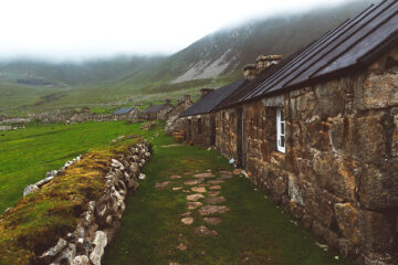
From Barra, Vatersay and a Climb Through CulrossWhen the last 36 islanders left St Kilda in August 1930, most of them left a Bible open on the table and their doors unlocked behind them.
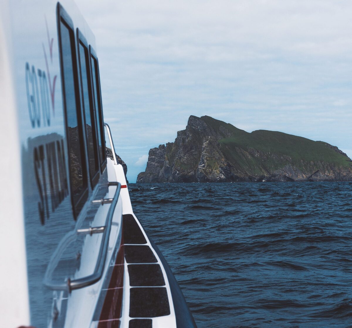
From On This Day in 1930: The Last Boat Leaves St KildaStac an Armin, off Boreray in St Kilda, is the highest sea stack in Britain at nearly 200 metres, and the islanders climbed it on ropes to gather eggs, feathers and birds.
From Solitude on St KildaOn New Year's morning in 1919 the Iolaire, bringing men home to Lewis from the war, was lost on the rocks known as the Beasts of Holm, in sight of Stornoway harbour.
From 7 interesting things you maybe didn’t know about Lewis and HarrisRead about Outer Hebrides.
Photographs by Sela Yair; Nick Kilby, Mark Adams, Lewis Sports Centre, Louise Chambers, Georgi Spasov, david melia, susan murray, Stornoway Distillers Co., Debbie Ashby, Donald MacLeod, Nicola G, Callanish Alpacas, 15 jun02, Mauro De Brasi, Julie Smith, Monika Anna, David Ferguson, Caley Thistle, Nick Evans, john johnston and Iolanda Perich Romero (Lloguer 3.0) via Google