Did you know
Peak of the peat moss.
That is what Stac Pollaidh means in Gaelic, though most people call it Stack Polly.
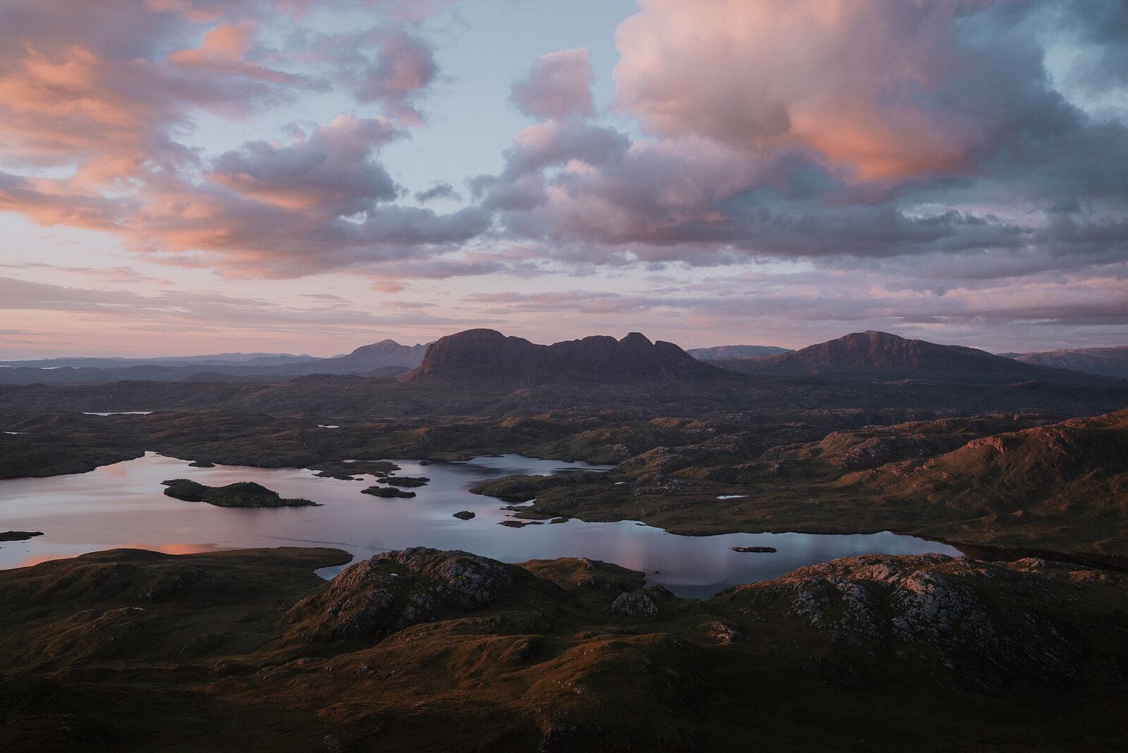
A spiky little mountain above the road to Achiltibuie, only 612 metres high, whose rocky ridge looks out over lochans to Suilven and the peaks of Assynt.
Stac Pollaidh is not a big mountain.
Visited and photographed by Simon Hird
At 612 metres it is barely two-thirds the height of a Munro, yet it has more character than hills three times its size: a crest of shattered rock towers and pinnacles rising straight up from the moor beside the road to Achiltibuie. Its name means peak of the peat moss; most people simply call it Stack Polly.
From the car park below, a made path climbs about a mile, with 550 metres of ascent, to the summit ridge. The path is the result of years of repair work after so many boots had worn the hill away.
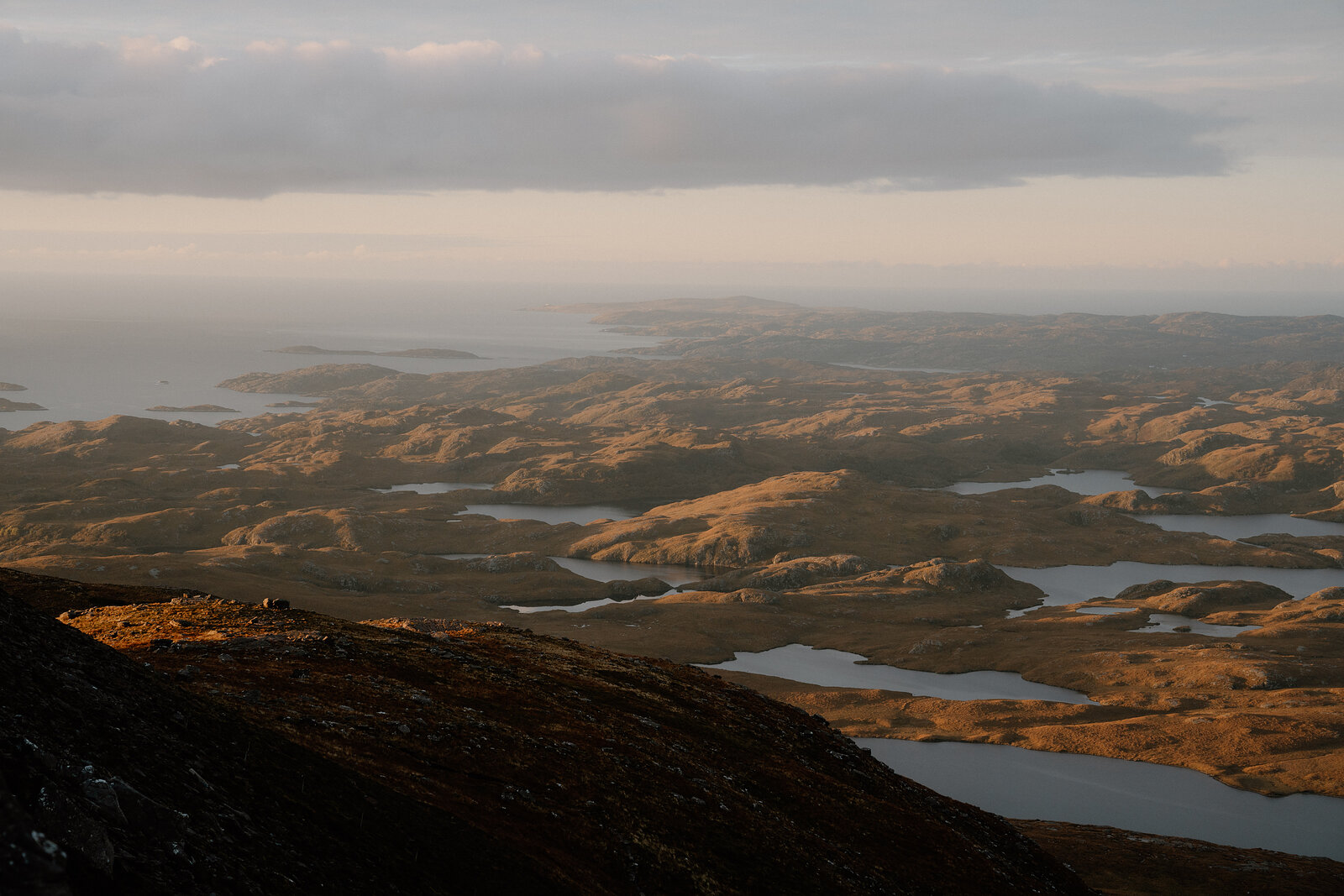
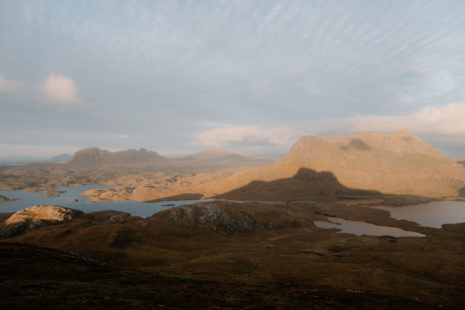
The reward is the view. All around, the land is a maze of lochs and lochans, and out of it rise the strange, separate peaks of Coigach and Assynt, with the long whaleback of Suilven to the north. Come in the evening, when the low sun turns the whole country gold.
The Daily
Arrives at 5am every day.
A free morning email to see what’s on this week, catch up on what’s happening in Scotland and find somewhere new to go.

The hill is open at all times and free to climb.
A pitched path climbs from the car park on the south side of the Achiltibuie road, where there is a charge and toilets, round the hill and steeply up to the ridge; the true summit is a tricky scramble.
Been here? Tell others what you know, and the best go on this page with your name.
Add your reviewThat is what Stac Pollaidh means in Gaelic, though most people call it Stack Polly.
So many people climbed it that the hill was wearing away, and a long programme of path building has repaired it.
Stac Pollaidh is a small mountain with a big personality. It reaches only 612 metres, yet its summit is a crest of shattered rock towers rising straight out of the moor beside the road to Achiltibuie. A well-made path climbs from the car park and loops round the hill, which makes a fine half day. The true western summit is a serious scramble, best left to the experienced on a dry day. The view is the reward: a maze of lochans, with Suilven and the other lone peaks of Assynt standing out of it.
Read moreNew places, news and stories, as we find them.
What is on in SutherlandOn the single-track road from the A835 to Achiltibuie, with the car park on the south side of the road below the hill.
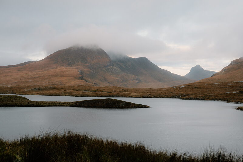 Knockan Crag National Nature ReserveWhere the rocks of the north-west were first understood.8 miles 10 min by road
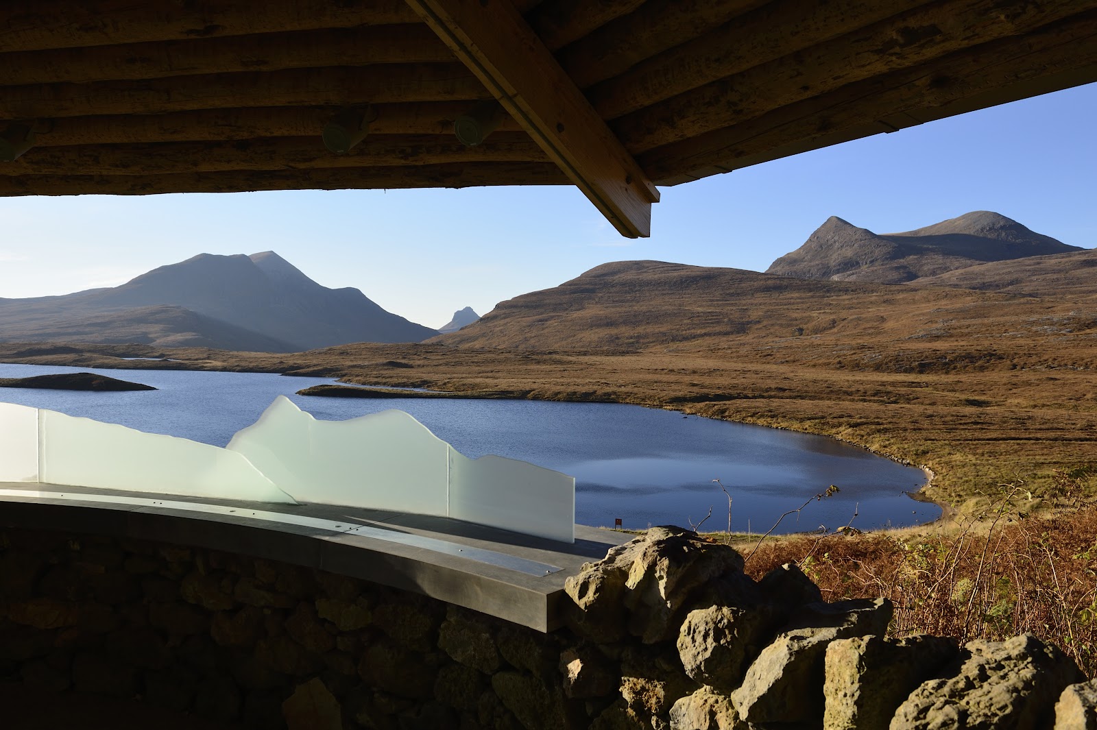 Knockan Crag TrailA guided trail at Knockan Crag National Nature Reserve, explaining the Moine Thrust and how this part of Scotland was made.8 miles 10 min by road
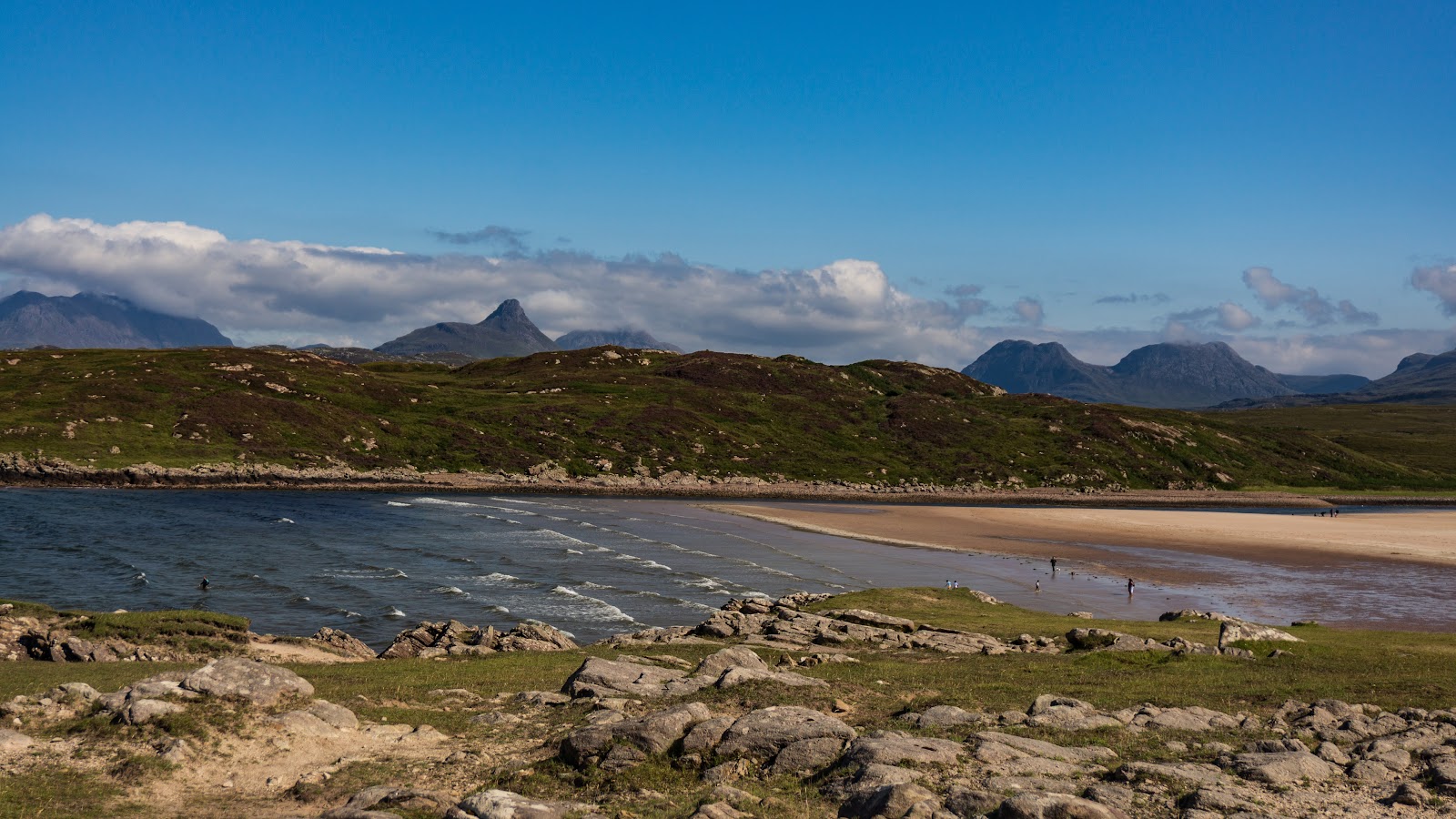 Achnahaird BeachA wide sandy bay looking back at the hill.8 miles 11 min by road
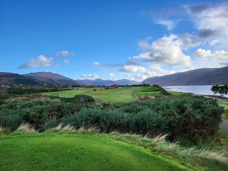 Ullapool Golf ClubA nine-hole coastal course on Loch Broom, with a second set of tees for eighteen, an adult day ticket of £40 in 2026 and walk-ons welcome.10 miles as the crow flies
 The Seafood Shack10 miles as the crow flies
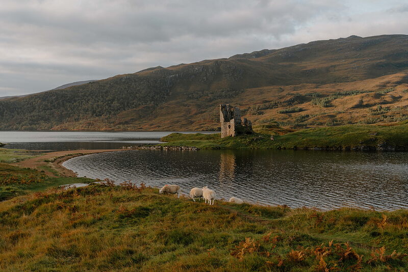 Ardvreck CastleA MacLeod castle ruin on Loch Assynt.20 miles 27 min by road
Places to stay near the hill, and when each is next free.
We want to show you the best that Scotland has to offer. The makers and the creatives, the enduring experiences, the evocative tales, the concealed corners. The roads less travelled that take you to places that matter. The adventures that gather you up and sweep you away. The blend of the wild and the artistic that makes Scotland what it is. We’d love for you to join us.
What we have written about it and more in Sutherland.
For further reading, before you go. The details on this page were checked on .